Youlton
Settlement in Yorkshire Hambleton
England
Youlton

Youlton is a small village located in the North Riding of Yorkshire, England. Situated approximately 13 kilometers northwest of the city of York, Youlton is nestled in the picturesque countryside of the Howardian Hills Area of Outstanding Natural Beauty.
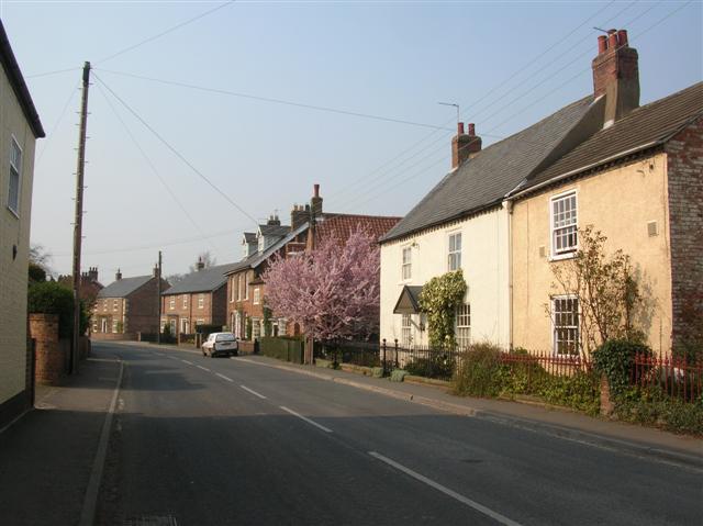
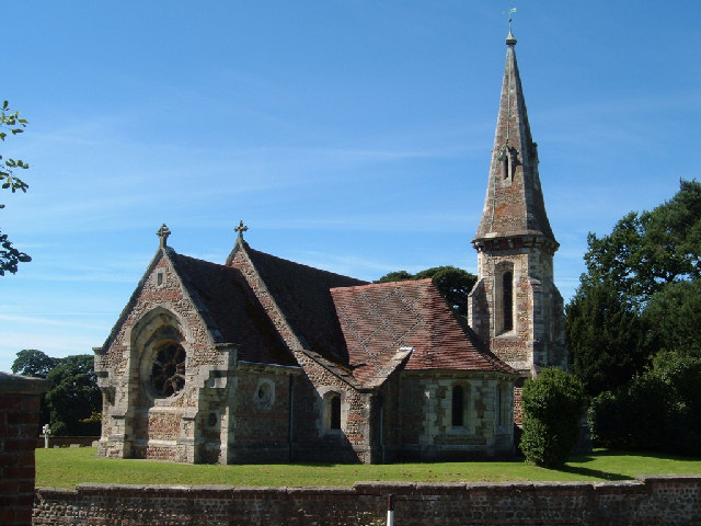
With a population of around 300 residents, Youlton exudes a peaceful and rural charm. The village is characterized by its traditional stone-built houses, many of which date back several centuries. The centerpiece of Youlton is the charming All Saints Church, a Grade II listed building that dates back to the 12th century.
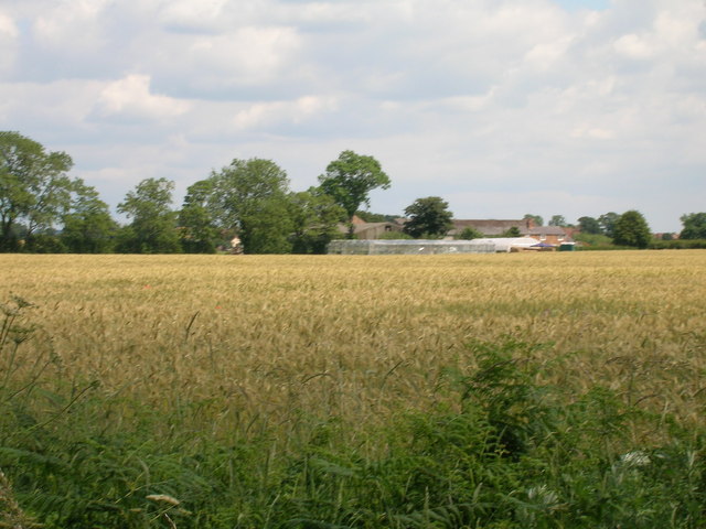
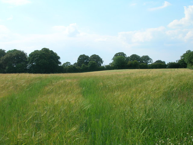
Surrounded by fertile farmland, Youlton enjoys a predominantly agricultural economy. The village is known for its traditional farming practices, with some farmers specializing in arable crops, while others focus on livestock farming. The local community is close-knit and proud of its agricultural heritage.
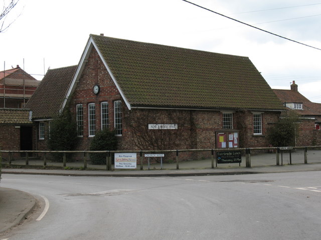
Despite its small size, Youlton offers a range of amenities to its residents. These include a village hall, where various community events and gatherings take place, and a quaint village pub that serves as a social hub for locals and visitors alike.
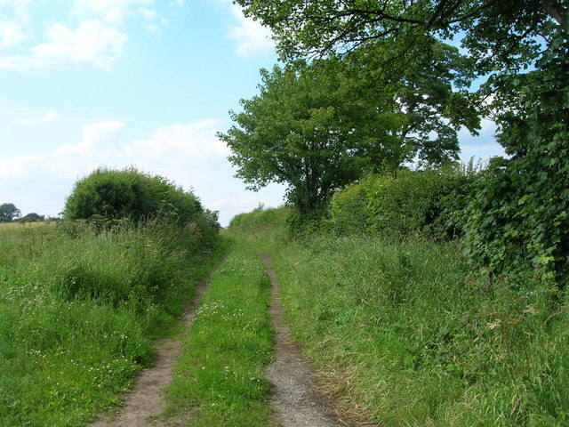
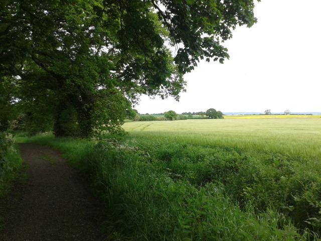
The surrounding area offers plenty of opportunities for outdoor activities and exploration. Youlton is situated near several walking and cycling routes that showcase the stunning natural beauty of the Howardian Hills. Additionally, the village is within easy reach of the historic city of York, providing residents with access to a wider range of amenities and attractions.
Overall, Youlton is a charming and idyllic village that offers a peaceful retreat in the heart of the Yorkshire countryside.
If you have any feedback on the listing, please let us know in the comments section below.
Youlton Images
Images are sourced within 2km of 54.065157/-1.251651 or Grid Reference SE4963. Thanks to Geograph Open Source API. All images are credited.


Youlton is located at Grid Ref: SE4963 (Lat: 54.065157, Lng: -1.251651)
Division: North Riding
Administrative County: North Yorkshire
District: Hambleton
Police Authority: North Yorkshire
What 3 Words
///scarcely.moguls.failed. Near Linton upon Ouse, North Yorkshire
Related Wikis

Youlton
Youlton is a village and civil parish in Hambleton District of North Yorkshire, England. It is situated approximately 5 miles (8 km) south-west of Easingwold...

RAF Linton-on-Ouse
Royal Air Force Linton-on-Ouse or more simply RAF Linton-on-Ouse (IATA: HRT, ICAO: EGXU) is a former Royal Air Force station at Linton-on-Ouse in North...
Alne, North Yorkshire
Alne is a village and civil parish in the Hambleton District of North Yorkshire, England, about twelve miles north-west of York and four miles from Easingwold...

Flawith
Flawith is a village and civil parish in Hambleton district of North Yorkshire, England. It is situated approximately 4 miles (6.4 km) south-west of Easingwold...

No. 1 Flying Training School RAF
The No. 1 Flying Training School (1 FTS) is the oldest military pilot training school in the world, currently used to deliver rotary training to aircrew...
Tollerton, North Yorkshire
Tollerton is a village and civil parish in the Hambleton District of North Yorkshire, England. Tollerton is situated close to both the A19 and the River...
Aldwark, Hambleton
Aldwark is a village and civil parish in the Hambleton District of North Yorkshire, England. It is situated on the River Ouse about 14 miles from York...

Tollerton railway station
Tollerton railway station served the village of Tollerton, Yorkshire, England from 1841 to 1965 on the East Coast Main Line. == History == The station...
Nearby Amenities
Located within 500m of 54.065157,-1.251651Have you been to Youlton?
Leave your review of Youlton below (or comments, questions and feedback).