Beck Field
Downs, Moorland in Yorkshire
England
Beck Field
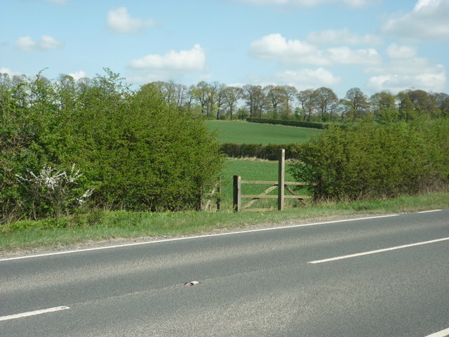
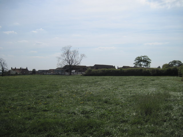
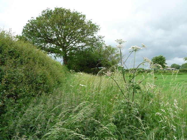
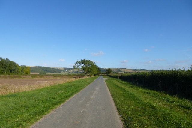
Beck Field is a picturesque area located in Yorkshire, England, known for its stunning landscape comprising downs and moorland. Situated in the heart of Yorkshire, it offers a unique blend of natural beauty and rich history.
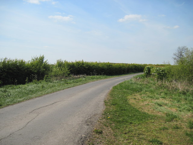
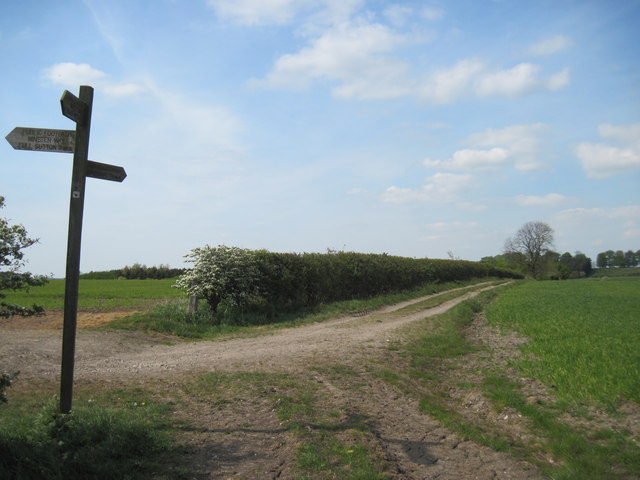
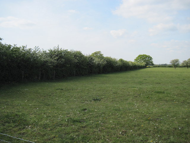
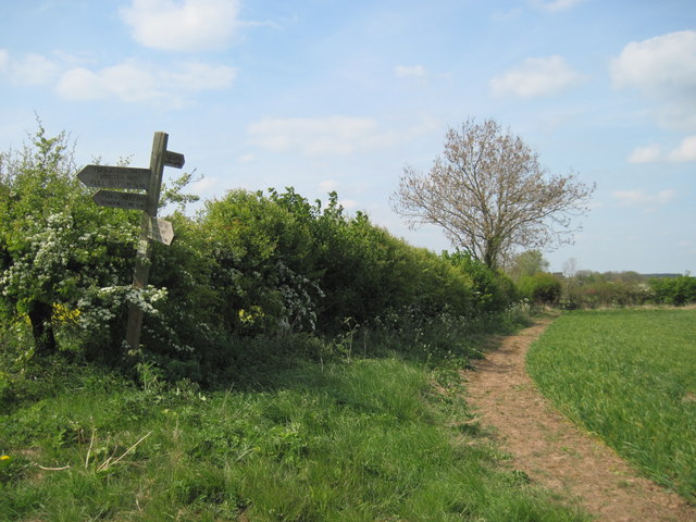
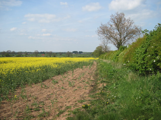
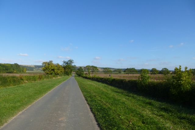
The downs of Beck Field are characterized by their rolling hills and open grasslands. The area boasts breathtaking views, making it a popular spot for outdoor enthusiasts and nature lovers. Hikers and walkers can enjoy exploring the numerous trails that crisscross the downs, offering a chance to take in the stunning vistas and observe the local wildlife.
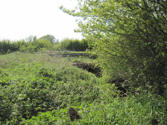
Adjacent to the downs, Beck Field is also home to vast moorland areas. This rugged and wild terrain is renowned for its heather-covered hills and peat bogs. Moorland walks provide an opportunity to immerse oneself in the untouched beauty of the landscape and experience the tranquility offered by the remote surroundings.
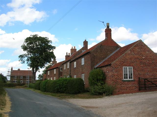
In addition to its natural splendor, Beck Field has a rich history dating back centuries. The area is dotted with ancient archaeological sites, including burial mounds and stone circles, attesting to its significance in prehistoric times. Visitors have the opportunity to explore these historical landmarks and gain insight into the region's past.
Overall, Beck Field in Yorkshire is a captivating destination that seamlessly combines breathtaking natural beauty with a fascinating historical heritage. Whether it's traversing the downs, wandering through the moorland, or delving into the area's ancient past, visitors are sure to be captivated by the allure of this picturesque location.
If you have any feedback on the listing, please let us know in the comments section below.
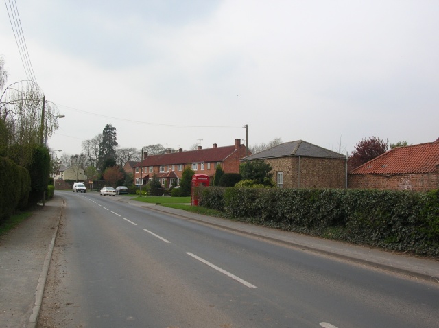
Beck Field Images
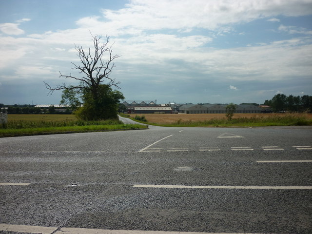
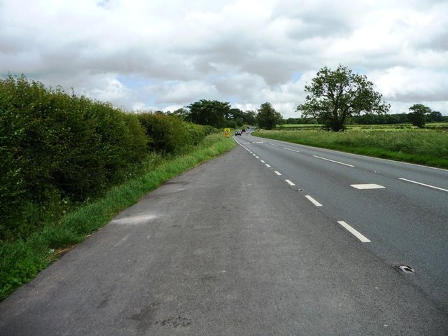
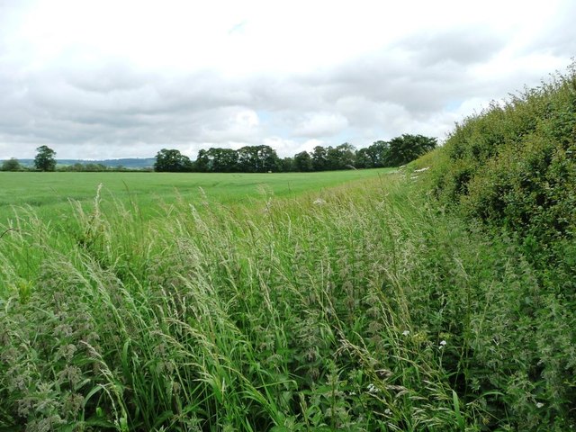
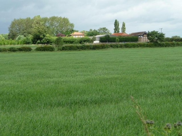
Images are sourced within 2km of 53.985426/-0.83119002 or Grid Reference SE7655. Thanks to Geograph Open Source API. All images are credited.


Beck Field is located at Grid Ref: SE7655 (Lat: 53.985426, Lng: -0.83119002)
Division: East Riding
Unitary Authority: East Riding of Yorkshire
Police Authority: Humberside
What 3 Words
///snipped.bikes.neatly. Near Full Sutton, East Yorkshire
Nearby Locations
Related Wikis
Youlthorpe
Youlthorpe is a hamlet in the East Riding of Yorkshire, England. It forms part of the civil parish of Bishop Wilton. It is situated approximately 10 miles...

Gowthorpe
Gowthorpe is a hamlet in the East Riding of Yorkshire, England. It is situated approximately 4 miles (6 km) north-west of Pocklington town centre and 3...

Fangfoss
Fangfoss is a village and civil parish in the East Riding of Yorkshire, England. It is situated approximately 11 miles (18 km) to the east of the city...
Full Sutton
Full Sutton is a village and civil parish in the East Riding of Yorkshire, England. It is situated approximately 2 miles (3 kilometres) east of the village...
Nearby Amenities
Located within 500m of 53.985426,-0.83119002Have you been to Beck Field?
Leave your review of Beck Field below (or comments, questions and feedback).