Yarberry
Settlement in Somerset
England
Yarberry

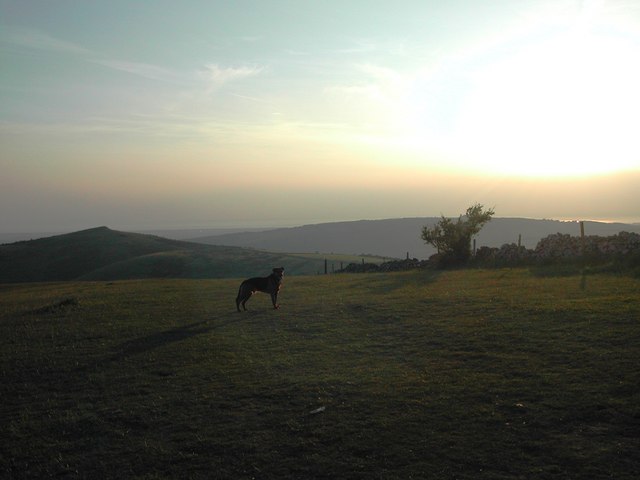
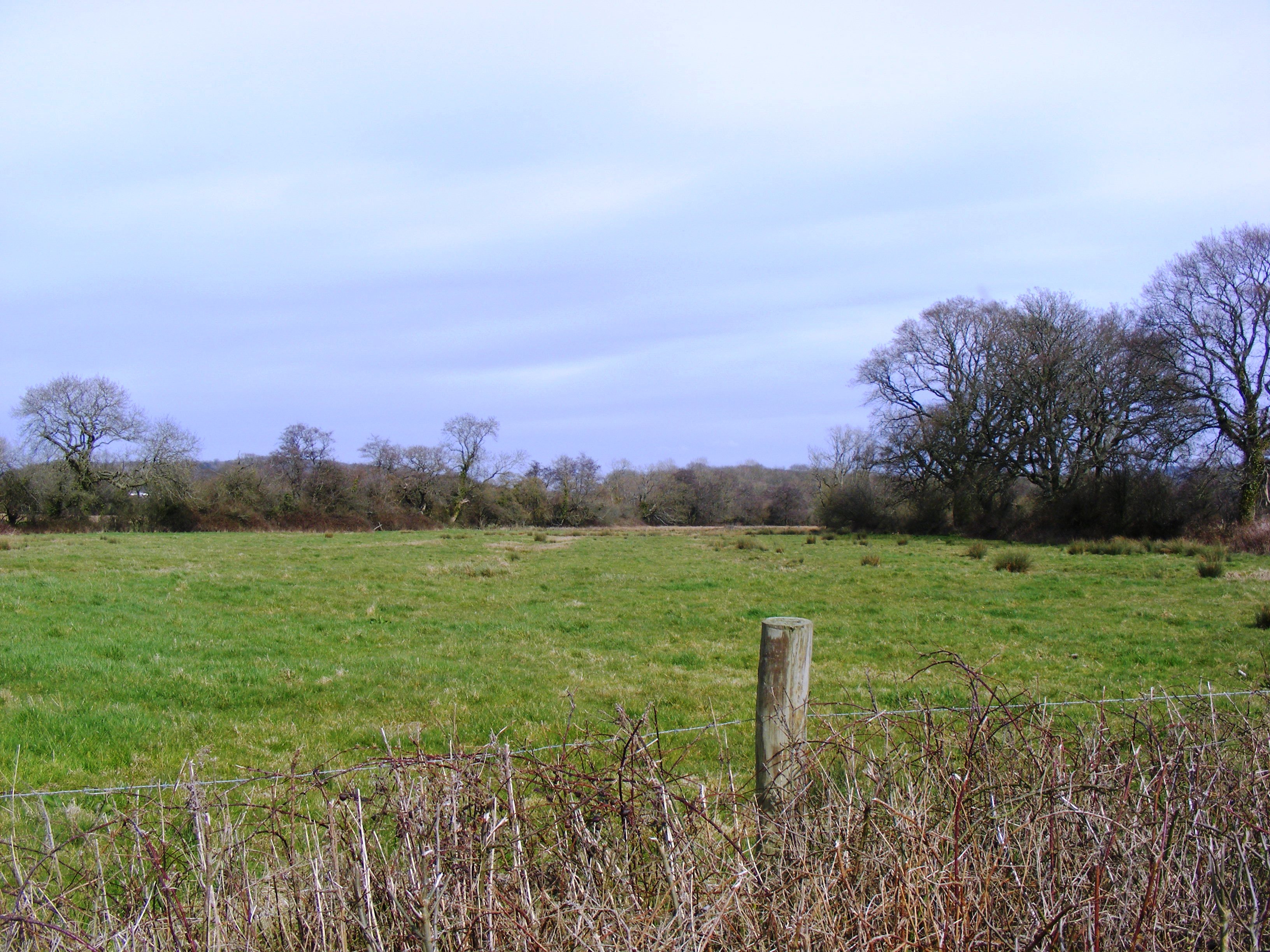
Yarberry is a small village located in Somerset, a county in the southwest of England. Situated in the picturesque countryside, Yarberry is known for its idyllic rural setting and tranquil atmosphere. The village is part of the Mendip Hills Area of Outstanding Natural Beauty, offering breathtaking views of rolling green hills and lush valleys.
Yarberry is a close-knit community with a population of approximately 300 residents. The village is characterized by its traditional stone-built houses and quaint cottages, which add to its charm and appeal. The village center is home to a few local amenities, including a small grocery store, a post office, and a community hall.
Nature lovers and outdoor enthusiasts will find plenty to explore in Yarberry and its surrounding area. The village is surrounded by beautiful walking trails, providing opportunities for leisurely strolls and more challenging hikes. The nearby Mendip Hills offer various recreational activities, such as cycling, horse riding, and birdwatching.
Yarberry is well-positioned for those seeking a peaceful countryside retreat, while still being within easy reach of larger towns and cities. The city of Bath is around 30 minutes away by car, offering a range of cultural attractions, shopping centers, and entertainment options.
Overall, Yarberry is a charming village that offers a serene and picturesque setting, making it an ideal place for those looking to escape the hustle and bustle of city life and immerse themselves in the beauty of the Somerset countryside.
If you have any feedback on the listing, please let us know in the comments section below.
Yarberry Images
Images are sourced within 2km of 51.317389/-2.879581 or Grid Reference ST3857. Thanks to Geograph Open Source API. All images are credited.


Yarberry is located at Grid Ref: ST3857 (Lat: 51.317389, Lng: -2.879581)
Unitary Authority: North Somerset
Police Authority: Avon and Somerset
What 3 Words
///beyond.lends.coasted. Near Banwell, Somerset
Nearby Locations
Related Wikis

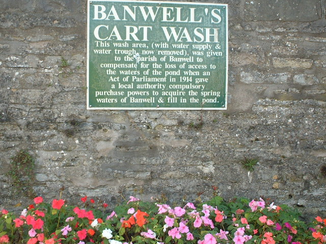
Banwell Caves
Banwell Caves (grid reference ST383588) are a 1.7-hectare geological and biological Site of Special Scientific Interest near the village of Banwell, North...

Banwell
Banwell is a village and civil parish on the River Banwell in the North Somerset district of Somerset, England. Its population was 3,251 according to the...

Banwell Castle
Banwell Castle is a Victorian Gothic Revival mansion in Banwell, Somerset, England. It is a Grade II* listed building. == History == The land on which...
Max Bog
Max Bog is a 10.6 hectare biological Site of Special Scientific Interest in North Somerset, notified in 1988. The site is owned by North Somerset Council...

Elborough Hill
Elborough Hill is an univallate Iron Age hill fort situated approximately 1.2 miles (1.9 km) east from the small village of Hutton and 1 mile (1.6 km)...
Banwell Ochre Caves
Banwell Ochre Caves (grid reference ST407593) are a 12.46-hectare geological Site of Special Scientific Interest near the village of Banwell, North Somerset...
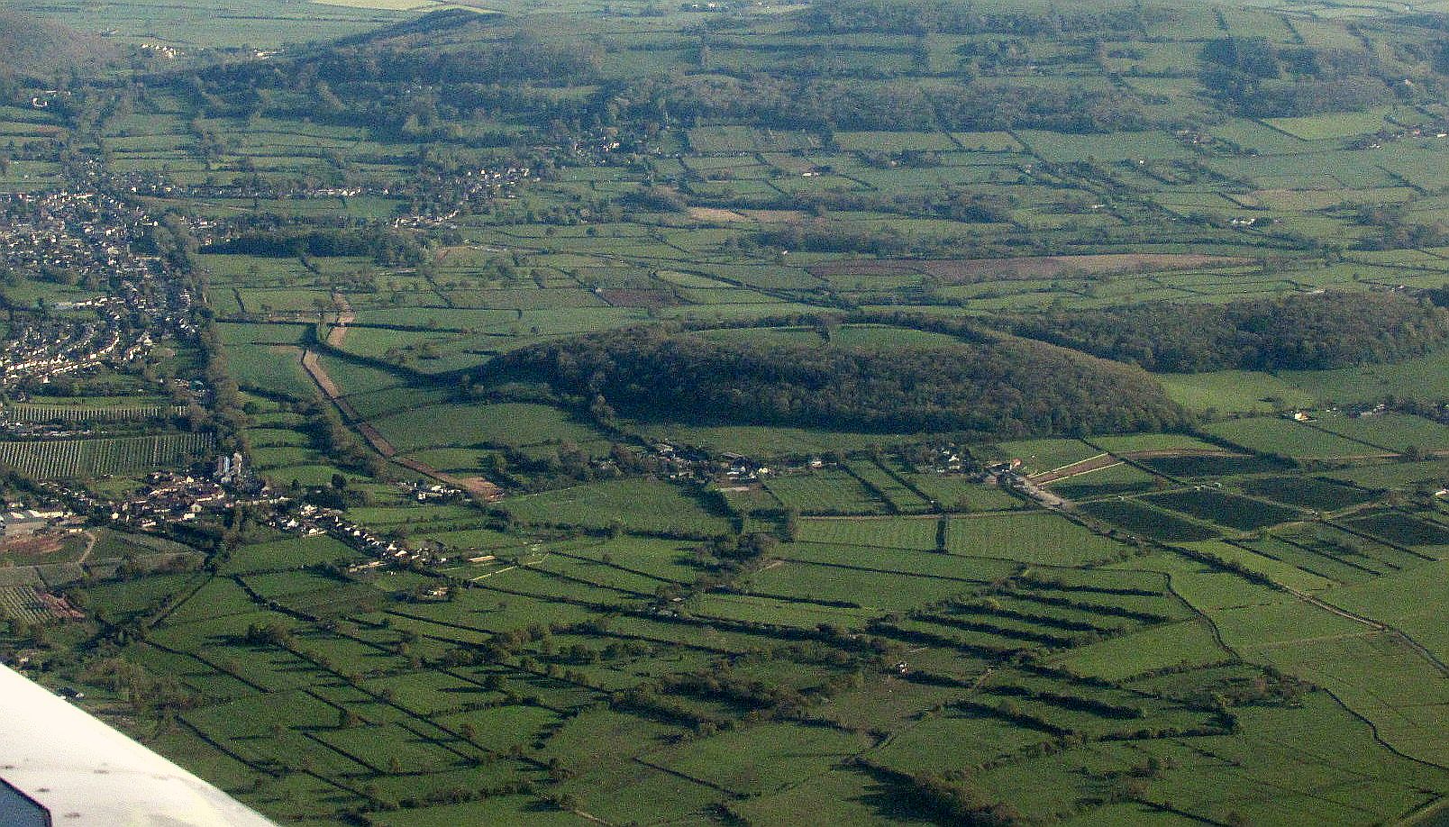
Banwell Camp
Banwell Camp is a univallate Iron Age hill fort in the North Somerset district of Somerset, England. The hill fort is situated approximately 1.6 miles...

Crook Peak to Shute Shelve Hill
Crook Peak to Shute Shelve Hill is a 332.2 hectare (820.9 acre) geological and biological Site of Special Scientific Interest near the western end of the...
Nearby Amenities
Located within 500m of 51.317389,-2.879581Have you been to Yarberry?
Leave your review of Yarberry below (or comments, questions and feedback).