Barleycombe
Wood, Forest in Somerset
England
Barleycombe

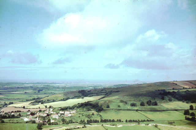
Barleycombe, Somerset, located in the southwestern region of England, is a picturesque village nestled amidst lush woodlands and rolling hills. This rural community is surrounded by an enchanting forest, providing residents and visitors with a tranquil and serene environment.
The village of Barleycombe is known for its abundant barley fields, which have been cultivated for generations, giving the village its name. The fertile soil and favorable climate contribute to the thriving agriculture in the area, with the production of barley being a significant economic activity. The charming countryside is dotted with traditional thatched-roof cottages and historic buildings, showcasing the village's rich history and architectural heritage.
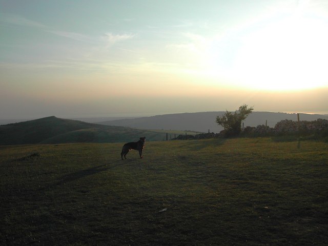
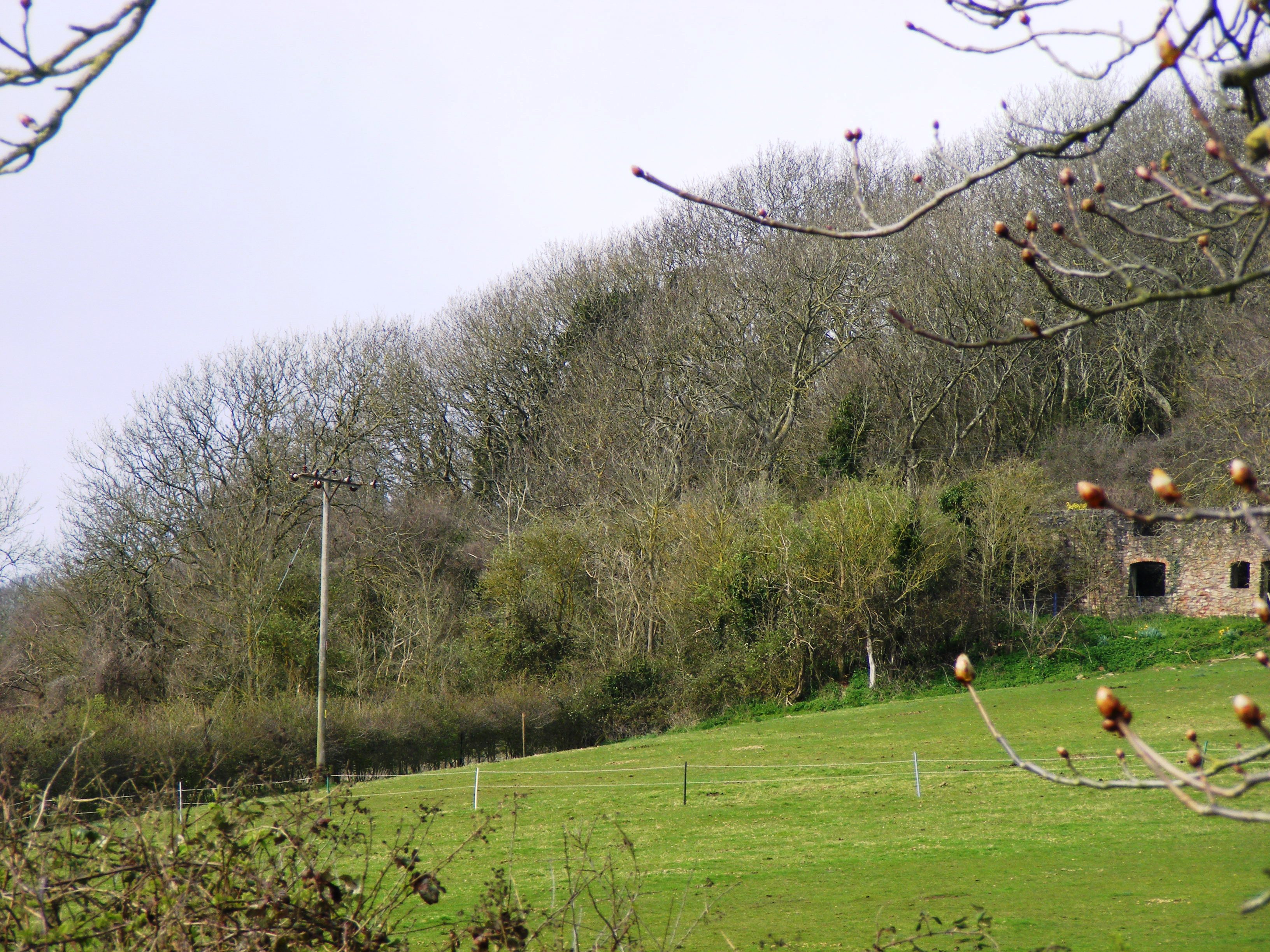
The forest surrounding Barleycombe is a haven for nature enthusiasts, offering ample opportunities for hiking, birdwatching, and exploring the great outdoors. The woodland is home to a diverse range of flora and fauna, including ancient oak trees, bluebells, and a variety of bird species. The tranquil atmosphere and breathtaking scenery make it an ideal destination for those seeking respite from the bustling city life.
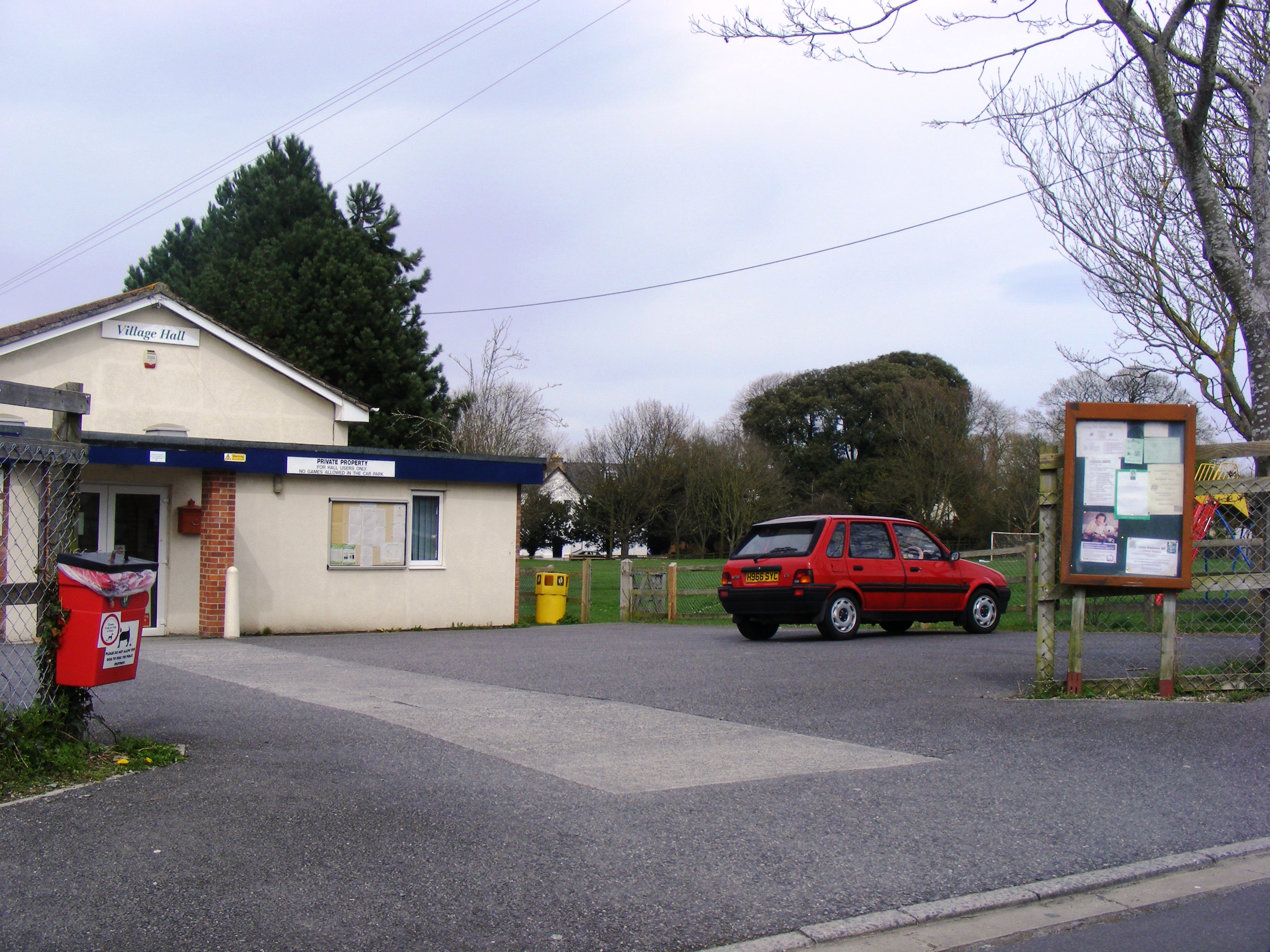
In addition to its natural beauty, Barleycombe boasts a close-knit community that takes pride in preserving its traditions and organizing local events. The village hosts an annual harvest festival, where residents come together to celebrate the bountiful harvest and showcase local produce.
Barleycombe's location in Somerset also offers convenient access to nearby attractions, such as historic market towns, castles, and the stunning coastline. Whether exploring the forest, immersing oneself in the village's history, or simply enjoying the tranquility of rural life, Barleycombe offers a delightful experience for all who visit.
If you have any feedback on the listing, please let us know in the comments section below.
Barleycombe Images
Images are sourced within 2km of 51.315871/-2.8885124 or Grid Reference ST3857. Thanks to Geograph Open Source API. All images are credited.


Barleycombe is located at Grid Ref: ST3857 (Lat: 51.315871, Lng: -2.8885124)
Unitary Authority: North Somerset
Police Authority: Avon and Somerset
What 3 Words
///enveloped.upward.chemistry. Near Banwell, Somerset
Nearby Locations
Related Wikis

Banwell Caves
Banwell Caves (grid reference ST383588) are a 1.7-hectare geological and biological Site of Special Scientific Interest near the village of Banwell, North...

Elborough Hill
Elborough Hill is an univallate Iron Age hill fort situated approximately 1.2 miles (1.9 km) east from the small village of Hutton and 1 mile (1.6 km)...
Shiplate Slait
Shiplate Slait (grid reference ST365567) is a 33.9 hectare biological Site of Special Scientific Interest near the village of Loxton, within the Mendip...

Banwell
Banwell is a village and civil parish on the River Banwell in the North Somerset district of Somerset, England. Its population was 3,251 according to the...

Banwell Castle
Banwell Castle is a Victorian Gothic Revival mansion in Banwell, Somerset, England. It is a Grade II* listed building. == History == The land on which...
Locking, Somerset
Locking is a village and civil parish in Somerset, England. It is a predominantly quiet residential area of North Somerset, 3.5 miles (5.6 km) south east...

Crook Peak to Shute Shelve Hill
Crook Peak to Shute Shelve Hill is a 332.2 hectare (820.9 acre) geological and biological Site of Special Scientific Interest near the western end of the...
Loxton, Somerset
Loxton is a village and civil parish in Somerset, England. It is close to the M5 motorway in the unitary authority of North Somerset. The parish includes...
Nearby Amenities
Located within 500m of 51.315871,-2.8885124Have you been to Barleycombe?
Leave your review of Barleycombe below (or comments, questions and feedback).