Yapton

Settlement in Sussex Arun

England

Yapton

Lidsey Rife and footpath 146
Lidsey Rife and footpath 146 Credit: Robin Webster

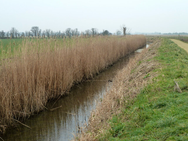
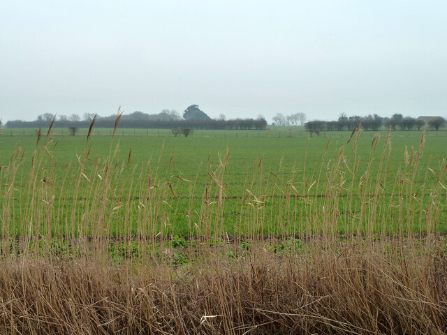
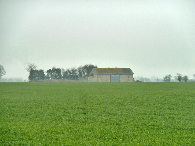
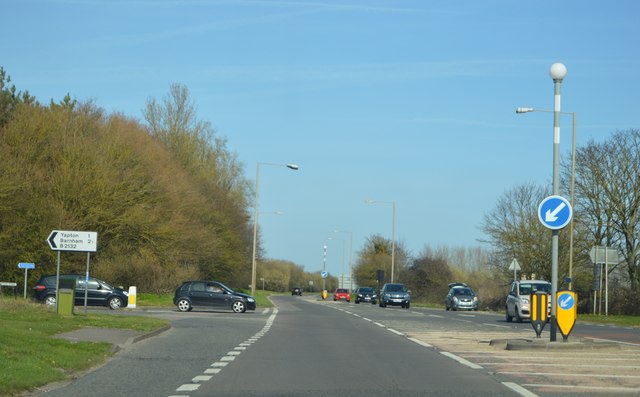
Yapton is a small village located in the Arun district of West Sussex, England. Situated roughly 5 miles east of Bognor Regis and 4 miles west of Littlehampton, it lies in the picturesque countryside of the South Downs National Park. The village is surrounded by farmland and offers a peaceful and idyllic setting.

Yapton has a long history, with evidence of human habitation dating back to the Neolithic period. The village grew during the Roman era, as it served as a stopping point along the main road from Chichester to Arundel.

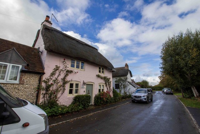
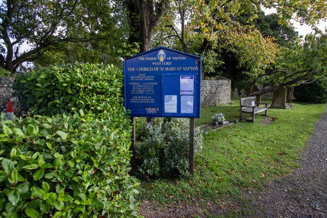
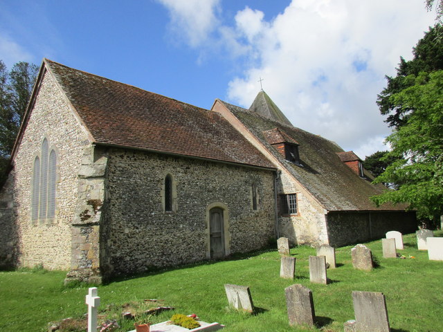
Today, Yapton retains much of its rural charm and character. It is primarily a residential area, with a population of around 3,000 people. The village has a close-knit community, and various local amenities cater to the needs of its residents. These include a primary school, a village hall, a church, a pub, and a few small shops.

The surrounding countryside offers ample opportunities for outdoor activities, such as walking, cycling, and horseback riding. Yapton is also conveniently located for access to the nearby coastal towns, making it a popular choice for those seeking a quiet village lifestyle while still being within reach of urban amenities.

In conclusion, Yapton is a charming village in the heart of the Sussex countryside, offering a peaceful and rural lifestyle with easy access to nearby towns and beautiful natural surroundings.

If you have any feedback on the listing, please let us know in the comments section below.
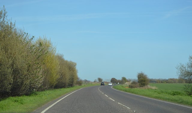
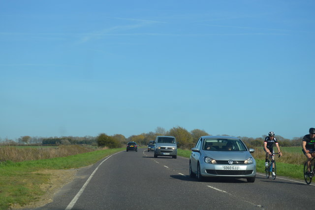
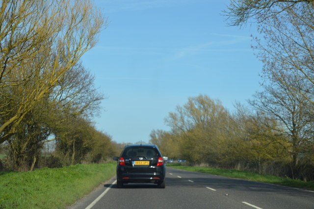
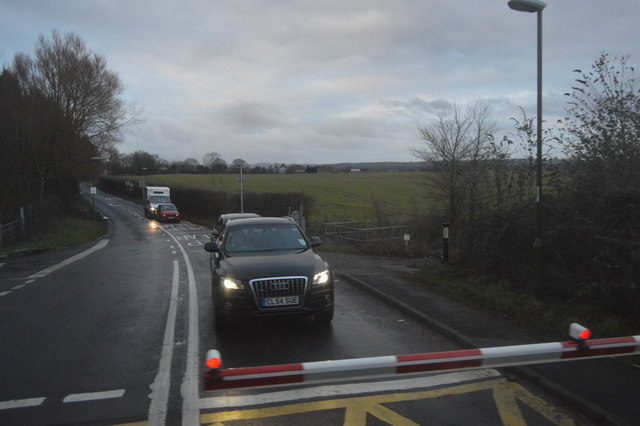
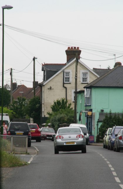
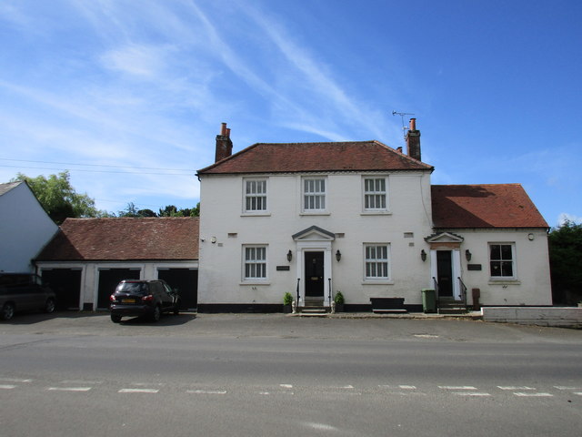
Yapton Images

Images are sourced within 2km of 50.819344/-0.609854 or Grid Reference SU9803. Thanks to Geograph Open Source API. All images are credited.

Lidsey Rife and footpath 146
Looking from Barnham parish to Yapton parish The reeds are along Lidsey Rife, the parish boundary here.
Looking from Barnham parish to Yapton parish
The reeds are along Lidsey Rife, the parish boundary here.
Barn at Hams, 2012 The field is now a solar farm, but the barn survives in the middle. The trees are where it appears from maps that there were once a pair of cottages.
Barn at Hams, 2012
The field is now a solar farm, but the barn survives in the middle. The trees are where it appears from maps that there were once a pair of cottages.
Air Raid Shelter near Ford Airfield This is a disused air raid shelter, which would have been used during the Second World War by those working at the HMS Peregrine airfield at Ford. The airfield itself is now closed, with plans in place for its redevelopment.
Air Raid Shelter near Ford Airfield
This is a disused air raid shelter, which would have been used during the Second World War by those working at the HMS Peregrine airfield at Ford. The airfield itself is now closed, with plans in place for its redevelopment.
Burndell Bridge One of four brick arch bridges built in Yapton over the Portsmouth and Arundel Canal, which opened in 1823 and was abandoned in 1855. This bridge was built to allow the owner of Burndell Farm to access their land on the opposite bank of the canal. The farm has now been developed into a small estate, but to this day the bridge is still awaiting restoration.
Burndell Bridge
One of four brick arch bridges built in Yapton over the Portsmouth and Arundel Canal, which opened in 1823 and was abandoned in 1855. This bridge was built to allow the owner of Burndell Farm to access their land on the opposite bank of the canal. The farm has now been developed into a small estate, but to this day the bridge is still awaiting restoration.
Listed building, Church Lane
Yapton Church Yard
Yapton Church Yard
Ford Lane
Ford Lane
A259, B2132 junction The A259 is a busy route along the south coast of England. It runs 120 miles from Havant in Hampshire to Folkestone in Kent, via West and East Sussex.
<span class="nowrap"><a title="http://www.sabre-roads.org.uk/wiki/index.php?title=A259" rel="nofollow ugc noopener" href="http://www.sabre-roads.org.uk/wiki/index.php?title=A259">Link</a><img style="margin-left:2px;" alt="External link" title="External link - shift click to open in new window" src="https://s1.geograph.org.uk/img/external.png" width="10" height="10"/></span>
A259, B2132 junction
The A259 is a busy route along the south coast of England. It runs 120 miles from Havant in Hampshire to Folkestone in Kent, via West and East Sussex. LinkExternal link
Grevatt's Lane The A259 is a busy route along the south coast of England. It runs 120 miles from Havant in Hampshire to Folkestone in Kent, via West and East Sussex.
<span class="nowrap"><a title="http://www.sabre-roads.org.uk/wiki/index.php?title=A259" rel="nofollow ugc noopener" href="http://www.sabre-roads.org.uk/wiki/index.php?title=A259">Link</a><img style="margin-left:2px;" alt="External link" title="External link - shift click to open in new window" src="https://s1.geograph.org.uk/img/external.png" width="10" height="10"/></span>
Grevatt's Lane
The A259 is a busy route along the south coast of England. It runs 120 miles from Havant in Hampshire to Folkestone in Kent, via West and East Sussex. LinkExternal link
Glasshouses by the railway line
Glasshouse by the railway line
B2132, Yapton Lane The B2132 rus 6 miles across Sussex from Felpham to Slindon.
<span class="nowrap"><a title="http://www.sabre-roads.org.uk/wiki/index.php?title=B2132" rel="nofollow ugc noopener" href="http://www.sabre-roads.org.uk/wiki/index.php?title=B2132">Link</a><img style="margin-left:2px;" alt="External link" title="External link - shift click to open in new window" src="https://s1.geograph.org.uk/img/external.png" width="10" height="10"/></span>
B2132, Yapton Lane
The B2132 rus 6 miles across Sussex from Felpham to Slindon. LinkExternal link
B2132, Yapton
B2132, Yapton
Shoulders and Cucumber Cottage The former Shoulder of Mutton and Cucumber pub.
Shoulders and Cucumber Cottage
The former Shoulder of Mutton and Cucumber pub.
St. Mary, Yapton, north side
Show me another place!

Yapton is located at Grid Ref: SU9803 (Lat: 50.819344, Lng: -0.609854)

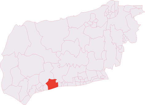
Administrative County: West Sussex

District: Arun

Police Authority: Sussex

What 3 Words

///redefined.riverbank.tolls. Near Yapton, West Sussex

Nearby Locations

Yapton Burndell

Related Wikis

Yapton

Yapton is a village and civil parish in the Arun District of West Sussex, England. It is centred three miles (4.8 km) north east of Bognor Regis at the...
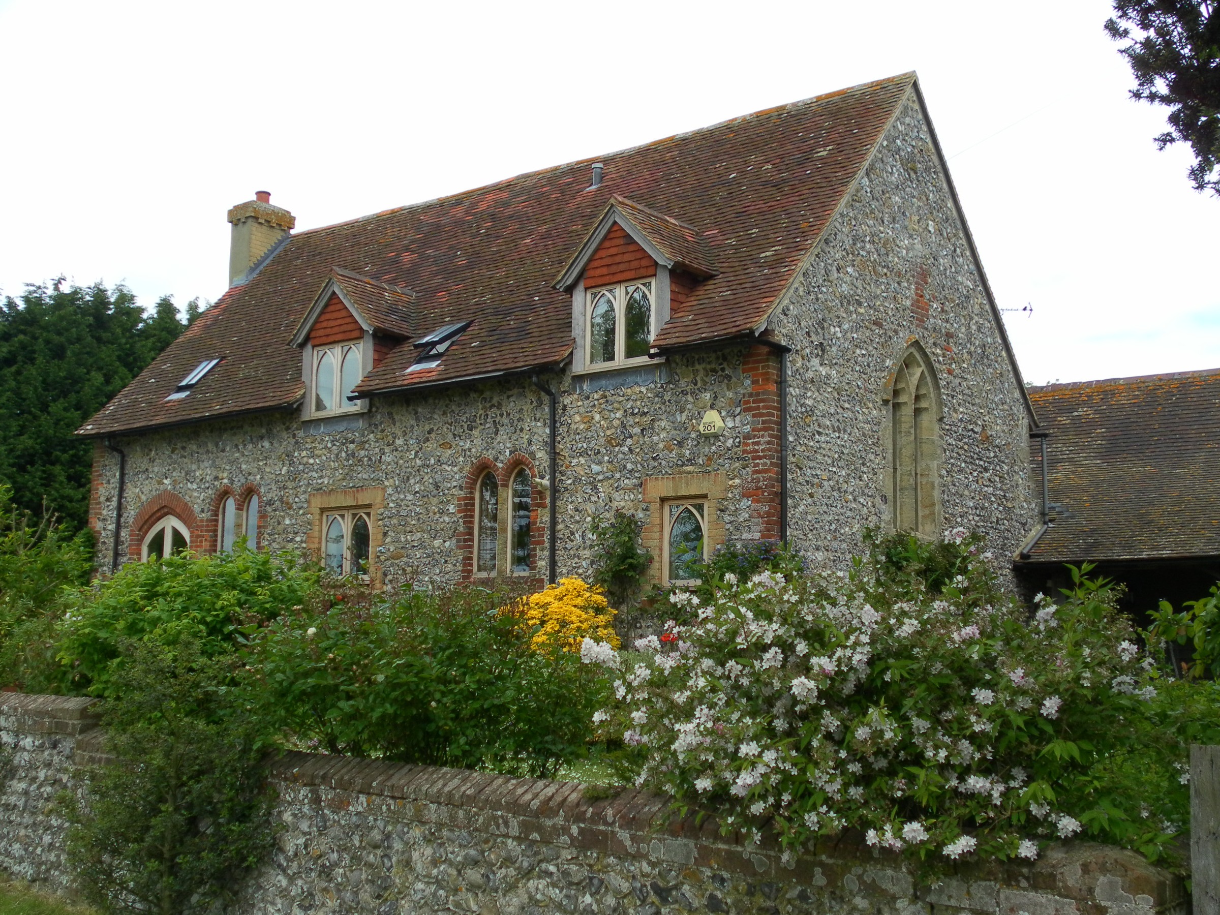
Yapton Free Church

Yapton Free Church (also known as Yapton Evangelical Free Church) is an Evangelical church in the village of Yapton in West Sussex, England. The "pretty...

Middleton (electoral division)

Middleton is an electoral division of West Sussex in the United Kingdom and returns one member to sit on West Sussex County Council. == Extent == The division...

Bilsham Chapel

Bilsham Chapel is a deconsecrated former chapel in the hamlet of Bilsham in West Sussex, England. Founded in the 13th century as a chapel of ease to the...

Nearby Amenities

Located within 500m of 50.819344,-0.609854
Yapton
Is In: West Sussex, England, UK
Place: village
Source: npe
Wikidata: Q2202952
Lat/Long: 50.8212123/-0.6138176
Mini Roundabout
Direction: clockwise
Lat/Long: 50.8210538/-0.6152639
Mini Roundabout
Direction: clockwise
Lat/Long: 50.8190651/-0.6087363
Post Box
Brand: Royal Mail
Brand Wikidata: Q638098
Brand Wikipedia: en:Royal Mail
Collection Plate: CP7D
Collection Times: Mo-Fr 09:00; Sa 07:00
Operator: Royal Mail
Operator Wikidata: Q638098
Post Box Type: lamp
Ref: BN18 1308D
Royal Cypher: EIIR
Royal Cypher Wikidata: Q33102113
Lat/Long: 50.8180208/-0.6044114
Leeward Tool Shop
Shop: hardware
Lat/Long: 50.8186645/-0.6074227
Noexit: yes
Lat/Long: 50.8157826/-0.6120734
Noexit: yes
Lat/Long: 50.8166198/-0.6127815
Mini Roundabout
Direction: clockwise
Lat/Long: 50.8200514/-0.6115814
Bus Stop
The Olive Branch
Bus: yes
Naptan AtcoCode: 4400LH0219
Naptan Bearing: NE
Naptan CommonName: The Olive Branch
Naptan Indicator: o/s The Olive Branch
Naptan Landmark: Main Road
Naptan NaptanCode: wsxdajwt
Naptan Street: North End Road
Naptan Verified: no
Public Transport: platform
Source: naptan_import
Lat/Long: 50.821573/-0.614977
Bus Stop
The Olive Branch
Bus: yes
Naptan AtcoCode: 4400LH0220
Naptan Bearing: SW
Naptan CommonName: The Olive Branch
Naptan Indicator: opp The Olive Branch
Naptan Landmark: Main Road
Naptan NaptanCode: wsxdamad
Naptan Street: North End Road
Naptan Verified: no
Public Transport: platform
Source: naptan_import
Lat/Long: 50.8214822/-0.6149087
Bus Stop
Village Hall
Bench: no
Bin: no
Bus: yes
Naptan AtcoCode: 4400LH0227
Naptan Bearing: SE
Naptan CommonName: Village Hall
Naptan Indicator: o/s Village Hall
Naptan Landmark: Village Hall
Naptan NaptanCode: wsxdamda
Naptan Street: Main Road
Naptan Verified: no
Public Transport: platform
Shelter: no
Source: naptan_import
Lat/Long: 50.8199147/-0.6108947
Bus Stop
Village Hall
Bench: no
Bin: no
Bus: yes
Naptan AtcoCode: 4400LH0228
Naptan Bearing: NW
Naptan CommonName: Village Hall
Naptan Indicator: adj Canal Road
Naptan Landmark: Village Hall
Naptan NaptanCode: wsxdamdg
Naptan Street: Main Road
Naptan Verified: no
Public Transport: platform
Shelter: no
Source: naptan_import
Lat/Long: 50.8201509/-0.6118531
Bus Stop
The Olive
Bench: yes
Bus: yes
Naptan AtcoCode: 4400LH0229
Naptan Bearing: W
Naptan CommonName: The Olive
Naptan Indicator: Branch
Naptan Landmark: opp. Church Road
Naptan NaptanCode: wsxdamdj
Naptan Street: Main Road
Naptan Verified: no
Public Transport: platform
Shelter: yes
Source: naptan_import
Lat/Long: 50.8209154/-0.6141304
Bus Stop
The Olive
Bus: yes
Naptan AtcoCode: 4400LH0230
Naptan Bearing: E
Naptan CommonName: The Olive
Naptan Indicator: Branch
Naptan Landmark: Berri Court
Naptan NaptanCode: wsxdamdm
Naptan Street: Main Road
Naptan Verified: no
Public Transport: platform
Source: naptan_import
Lat/Long: 50.821017/-0.6143545
Bus Stop
Sparks Corner
Bus: yes
Naptan AtcoCode: 4400LH0263
Naptan Bearing: S
Naptan CommonName: Sparks Corner
Naptan Indicator: Adj Park Rd
Naptan Landmark: Burndell Road
Naptan NaptanCode: wsxdamtg
Naptan Street: Bisham Road
Naptan Verified: no
Public Transport: platform
Source: naptan_import
Lat/Long: 50.8183287/-0.6091245
Bus Stop
Sparks Corner
Bench: yes
Bin: yes
Bus: yes
Naptan AtcoCode: 4400LH0264
Naptan Bearing: N
Naptan CommonName: Sparks Corner
Naptan Indicator: Opp Park Rd
Naptan Landmark: Main Road
Naptan NaptanCode: wsxdamtj
Naptan Street: Bilsham Road
Naptan Verified: no
Public Transport: platform
Shelter: yes
Source: naptan_import
Lat/Long: 50.8181978/-0.609455
Bus Stop
Loveys Rd
Bus: yes
Naptan AtcoCode: 4400LH0265
Naptan Bearing: SW
Naptan CommonName: Loveys Rd
Naptan Indicator: Opp Loveys Rd
Naptan Landmark: Loveys Road
Naptan NaptanCode: wsxdamtm
Naptan Street: Bilsham Road
Naptan Verified: no
Public Transport: platform
Source: naptan_import
Lat/Long: 50.8157914/-0.6112867
Bus Stop
Loveys Rd
Bus: yes
Naptan AtcoCode: 4400LH0266
Naptan Bearing: NE
Naptan CommonName: Loveys Rd
Naptan Indicator: Adj Loveys Rd
Naptan Landmark: Loveys Road
Naptan NaptanCode: wsxdamtp
Naptan Street: Bilsham Road
Naptan Verified: no
Public Transport: platform
Source: naptan_import
Lat/Long: 50.8156608/-0.6116455
Tack Lee Road
Naptan AtcoCode: 4400LH0700
Naptan Bearing: S
Naptan BusStopType: CUS
Naptan CommonName: Tack Lee Road
Naptan Indicator: opp
Naptan Landmark: Hail & Ride
Naptan NaptanCode: wsxdtgpt
Naptan Street: Canal Road
Naptan Verified: no
Source: naptan_import
Lat/Long: 50.8191302/-0.6129907
Giles Close
Naptan AtcoCode: 4400LH0701
Naptan Bearing: E
Naptan BusStopType: CUS
Naptan CommonName: Giles Close
Naptan Indicator: opp
Naptan Landmark: Hail & Ride
Naptan NaptanCode: wsxdtgpw
Naptan Street: Loveys Road
Naptan Verified: no
Source: naptan_import
Lat/Long: 50.8174046/-0.612332
Loveys Rd
Naptan AtcoCode: 4400LH0939
Naptan Bearing: W
Naptan BusStopType: CUS
Naptan CommonName: Loveys Rd
Naptan Indicator: Loveys Rd
Naptan Landmark: Foundry Rd
Naptan Street: Loveys Rd
Naptan Verified: no
Source: naptan_import
Lat/Long: 50.8171438/-0.6115731
Canal Road
Naptan AtcoCode: 4400LH0966
Naptan Bearing: SW
Naptan BusStopType: CUS
Naptan CommonName: Canal Road
Naptan Indicator: Opp The Pines
Naptan Landmark: The Pines
Naptan Street: Canal Rd
Naptan Verified: no
Source: naptan_import
Lat/Long: 50.8199334/-0.6117175
Post Box
Brand: Royal Mail
Brand Wikidata: Q638098
Brand Wikipedia: en:Royal Mail
Operator: Royal Mail
Operator Wikidata: Q638098
Post Box Type: wall
Ref: BN18 1307
Royal Cypher: VR
Royal Cypher Wikidata: Q33102356
Lat/Long: 50.8167606/-0.6101886
Pub
The Olive Branch
Lat/Long: 50.8212091/-0.61543
Barrier: bollard
Bicycle: no
Foot: yes
Lat/Long: 50.8233583/-0.6084704
Post Office
Yapton Post Office
Addr City: Yapton, Arundel
Addr Country: GB
Addr Postcode: BN18 0EY
Addr Street: Main Road
Addr Village: Yapton
Brand: Post Office
Brand Wikidata: Q1783168
Description: This post office is inside the Cooperative
Opening Hours: Mo-Sa 06:00-23:00; Su 07:00-23:00
Operator: Post Office Ltd
Ref Pol Id: 1793
Source: OS OpenData StreetView
Source 1: receipt from visit
Lat/Long: 50.8193728/-0.6102323
Michael Smith Design
Addr City: Yapton
Addr Postcode: BN18 0HJ
Addr Street: Downview Road
Office: government
Website: http://www.michaelsmithdesign.co.uk
Lat/Long: 50.8194258/-0.6065718
Post Box
Brand: Royal Mail
Brand Wikidata: Q638098
Brand Wikipedia: en:Royal Mail
Collection Plate: CP1
Collection Times: Mo-Fr 16:45; Sa 09:30
Operator: Royal Mail
Operator Wikidata: Q638098
Post Box Type: pillar
Ref: BN18 1311
Royal Cypher: EIIR
Royal Cypher Wikidata: Q33102113
Lat/Long: 50.8194003/-0.6100532
Post Box
Brand: Royal Mail
Brand Wikidata: Q638098
Brand Wikipedia: en:Royal Mail
Collection Plate: CP7D
Collection Times: Mo-Fr 09:00; Sa 07:00
Operator: Royal Mail
Operator Wikidata: Q638098
Post Box Type: lamp
Ref: BN18 1312D
Royal Cypher: EIIR
Royal Cypher Wikidata: Q33102113
Lat/Long: 50.8208221/-0.6130708
Post Box
Brand: Royal Mail
Brand Wikidata: Q638098
Brand Wikipedia: en:Royal Mail
Collection Plate: CP8D
Collection Times: Mo-Fr 09:00; Sa 07:00
Operator: Royal Mail
Operator Wikidata: Q638098
Post Box Type: pillar
Ref: BN18 1310D
Royal Cypher: EIIR
Royal Cypher Wikidata: Q33102113
Lat/Long: 50.8192882/-0.6127387
Turning Loop
Lat/Long: 50.8229152/-0.6071673
Crossing
Lat/Long: 50.8193946/-0.60426
Doctors
Yapton Surgery
Addr City: Yapton
Addr Street: North End Road
Healthcare: doctor
Operator: Avisford Medical Group
Phone: +44 1243 551321
Source: survey
Website: https://www.avisford.co.uk/
Lat/Long: 50.8217294/-0.6140432
Place Of Worship
Brethren's Meeting Room
Addr City: Yapton
Addr Street: North End Road
Denomination: Plymouth_Brethren_Christian_Church
Religion: christian
Source: survey
Lat/Long: 50.8215679/-0.615181
Pharmacy
Yapton Pharmacy
Addr City: Yapton
Addr Street: North End Road
Dispensing: yes
Healthcare: pharmacy
Source: survey
Lat/Long: 50.8218993/-0.6134811
Power: pole
Lat/Long: 50.8215788/-0.6044519
Power: pole
Lat/Long: 50.8209349/-0.6047872
Power: pole
Lat/Long: 50.8200284/-0.6052592
Merry Meats
Addr City: Yapton, Arundel
Addr County: West Sussex
Addr Postcode: BN18 0EY
Addr Street: Main Road
Addr Village: Yapton
Fhrs Authority: Arun
Fhrs Id: 292088
Fhrs Local Authority Id: 664255
Shop: butcher
Source: survey
Survey Date: 2022-06-04
Website: https://www.merrymeats.co.uk/
Lat/Long: 50.8194797/-0.6104851
Fast Food
Yapton Chippy
Addr City: Yapton, Arundel
Addr County: West Sussex
Addr Postcode: BN18 0EY
Addr Street: Main Road
Addr Village: Yapton
Cuisine: fish_and_chips
Fhrs Authority: Arun
Fhrs Id: 212711
Fhrs Local Authority Id: 664288
Source: survey
Survey Date: 2022-06-04
Website: https://yaptonchippy.com/
Lat/Long: 50.8194946/-0.6105913
Social Facility
Yew Tree Nursing Home
Addr City: Yapton
Addr Postcode: BN18 0DU
Addr Street: North End Road
Fhrs Authority: Arun
Fhrs Id: 138793
Fhrs Local Authority Id: 741004
Social Facility: nursing_home
Lat/Long: 50.8227531/-0.6130564
Cafe
Farm House Grill
Addr City: Yapton
Addr Housename: Stakers Farm House
Addr Postcode: BN18 0DU
Addr Street: North End Road
Fhrs Authority: Arun
Fhrs Id: 1405995
Fhrs Local Authority Id: 9103663
Lat/Long: 50.822726/-0.614301
Social Facility
Warmere Court
Addr City: Yapton
Addr Postcode: BN18 0HN
Addr Street: Downview Way
Fhrs Authority: Arun
Fhrs Id: 868931
Fhrs Local Authority Id: 1043399
Social Facility: assisted_living
Social Facility For: senior
Lat/Long: 50.8197895/-0.6083491
Pharmacy
Yapton Pharmacy
Lat/Long: 50.8195014/-0.6106639
Cafe
Yapton Village Hall Cafe
Addr City: Yapton
Addr Housename: The Yapton And Ford Village Hall
Addr Postcode: BN18 0ET
Addr Street: Main Road
Fhrs Authority: Arun
Fhrs Id: 1533514
Fhrs Local Authority Id: 9104019
Lat/Long: 50.8200572/-0.6107846
The data included in this document is from www.openstreetmap.org. The data is made available under ODbL.

Have you been to Yapton?

Leave your review of Yapton below (or comments, questions and feedback).