Yapham

Settlement in Yorkshire

England

Yapham

Entering Bolton, East Yorkshire
Entering Bolton, East Yorkshire Credit: Ian S

Yapham is a small village located in the East Riding of Yorkshire, England. Situated approximately 5 miles east of the market town of Pocklington, Yapham is nestled amidst picturesque countryside and offers a tranquil retreat for its residents and visitors alike.

The village is predominantly residential, with a charming mix of traditional stone-built cottages and more modern housing developments. It has a close-knit community, and the residents take pride in their village, maintaining its aesthetics and preserving its historic character.

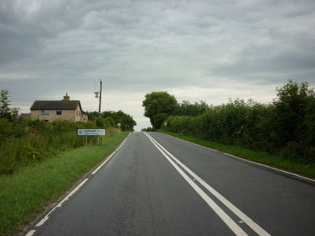
Yapham is blessed with natural beauty, surrounded by rolling hills and farmland, making it an ideal destination for those seeking rural tranquility. The scenic countryside offers ample opportunities for outdoor activities such as hiking, cycling, and horseback riding. The nearby Yapham Mill Pond provides a peaceful spot for picnicking, fishing, and birdwatching.

While Yapham may be small, it benefits from its proximity to Pocklington, which provides a range of amenities including shops, supermarkets, schools, and healthcare facilities. Additionally, the village benefits from good transport links, with regular bus services connecting it to nearby towns and cities.

For history enthusiasts, Yapham is home to St. Martin's Church, a Grade II listed building dating back to the 12th century. The church features stunning architectural details and is a testament to the village's rich heritage.

In summary, Yapham is a charming village in Yorkshire that offers a peaceful and idyllic lifestyle. With its beautiful surroundings, strong community spirit, and convenient access to amenities, Yapham is a hidden gem in the heart of the East Riding.

If you have any feedback on the listing, please let us know in the comments section below.
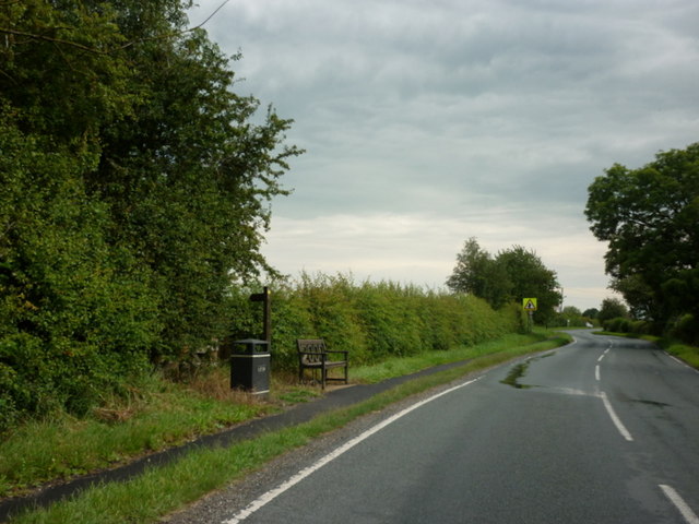
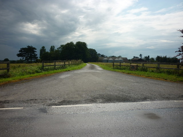
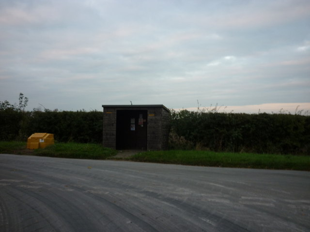
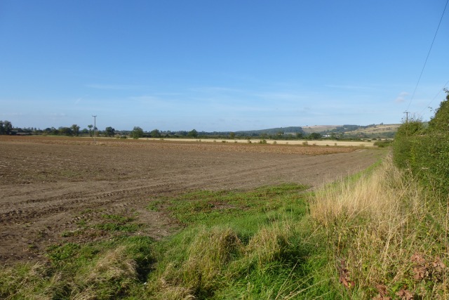
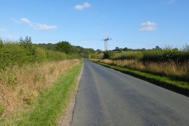
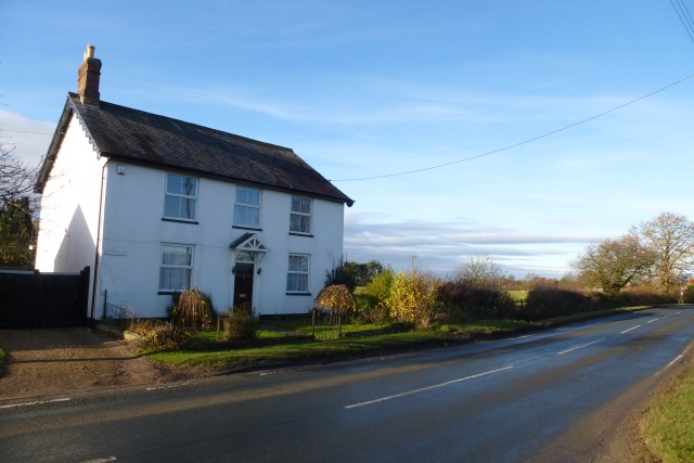
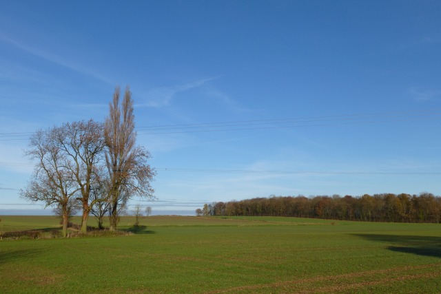
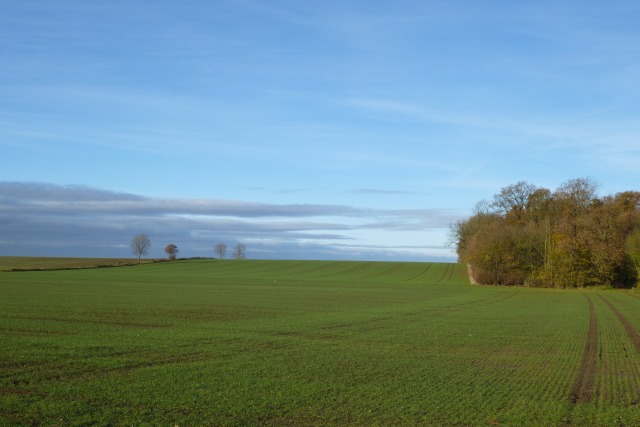
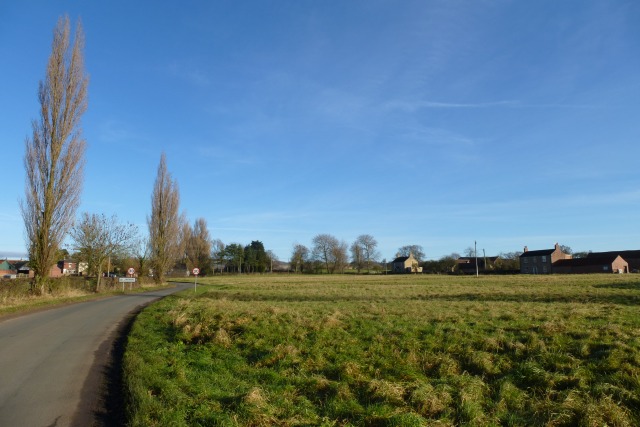
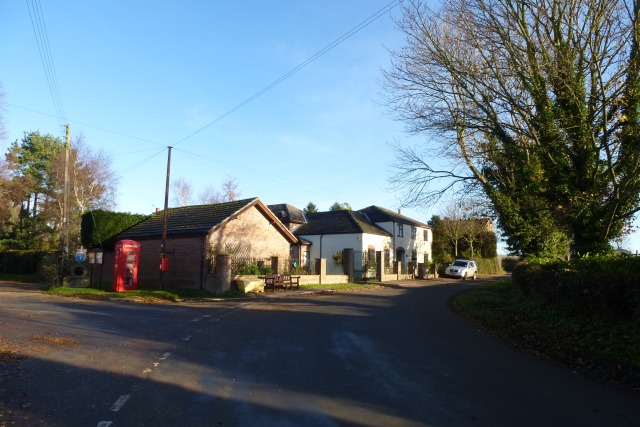
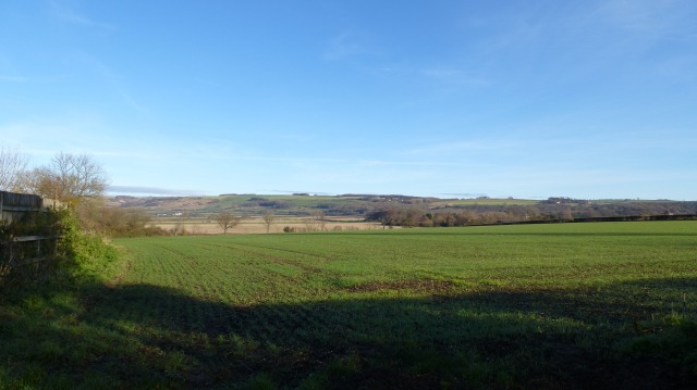
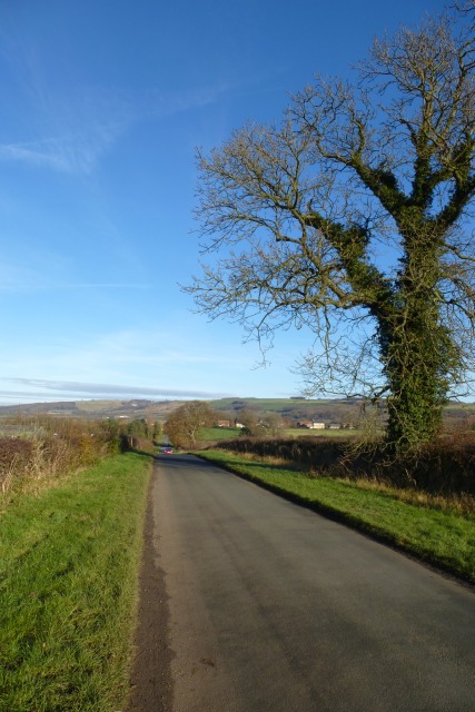
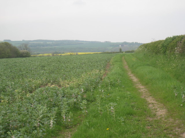
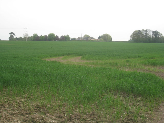
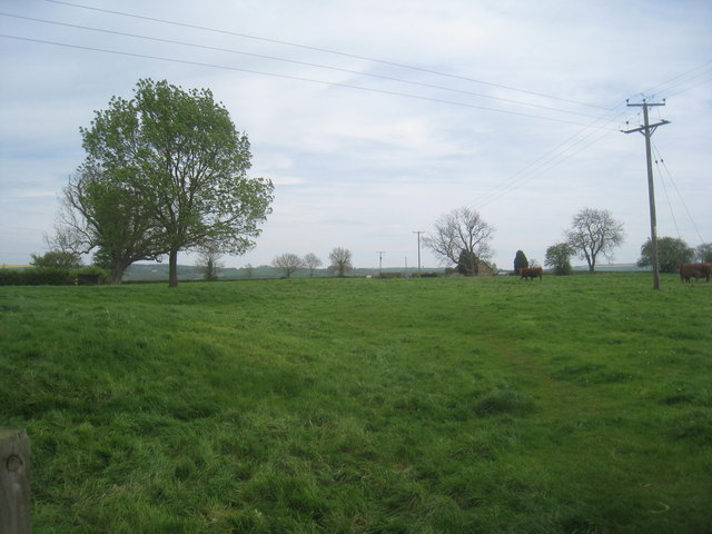
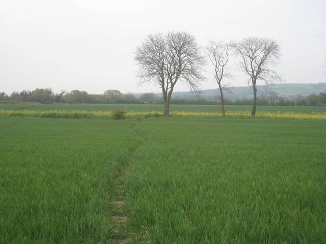
Yapham Images

Images are sourced within 2km of 53.958598/-0.799561 or Grid Reference SE7852. Thanks to Geograph Open Source API. All images are credited.

Entering Bolton, East Yorkshire
Main Street, Bolton
Main Street, Bolton
The entrance to Rowland Hill Farm
Entering Yapham Hill, East Yorkshire
A bus shelter at Meltonby
Farmland near Meltonby Similar view to <a href="https://www.geograph.org.uk/photo/211255">SE7952 : Looking towards Bishop Wilton</a> 7 years on.
Farmland near Meltonby
Similar view to SE7952 : Looking towards Bishop Wilton 7 years on.
Road to Bishop Wilton Looking towards the overhead cables crossing the road.
Road to Bishop Wilton
Looking towards the overhead cables crossing the road.
House on the outskirts of Bolton Along the road to Pocklington.
House on the outskirts of Bolton
Along the road to Pocklington.
Towards Millans Wood Along the road to Yapham.
Towards Millans Wood
Along the road to Yapham.
Farmland and Millans Wood Along the road to Yapham.
Farmland and Millans Wood
Along the road to Yapham.
Approaching Yapham Entering the East Yorkshire village of Yapham.
Approaching Yapham
Entering the East Yorkshire village of Yapham.
Meltonby Lane Phone box and post box in the village of Yapham.
Meltonby Lane
Phone box and post box in the village of Yapham.
View from Yapham Looking across to the Wolds.
View from Yapham
Looking across to the Wolds.
Meltonby Lane Looking down to the village of Meltonby on the road from Yapham.
Meltonby Lane
Looking down to the village of Meltonby on the road from Yapham.
Field of beans near Yapham Mill The white blob in the far distance is Givendale House.
Field of beans near Yapham Mill
The white blob in the far distance is Givendale House.
View towards Yapham Mill The remains of the mill are just visible in the trees towards the left of the picture.
View towards Yapham Mill
The remains of the mill are just visible in the trees towards the left of the picture.
Footpath to Meltonby Runs across this field. But I chose not to use it as the field contained cows with calves and I have a very active Jack Russell Terrier. The route by road is not a great deal longer.
Footpath to Meltonby
Runs across this field. But I chose not to use it as the field contained cows with calves and I have a very active Jack Russell Terrier. The route by road is not a great deal longer.
Footpath to Bishop Wilton Runs through this field of cereals.
Footpath to Bishop Wilton
Runs through this field of cereals.
Show me another place!

Yapham is located at Grid Ref: SE7852 (Lat: 53.958598, Lng: -0.799561)

Division: East Riding

Unitary Authority: East Riding of Yorkshire

Police Authority: Humberside

What 3 Words

///northward.penny.halt. Near Pocklington, East Yorkshire

Nearby Locations

Yapham

Related Wikis

Yapham

Yapham is a village and civil parish in the East Riding of Yorkshire, Northern England. It is situated about 2 miles (3.2 km) north-east of Pocklington...
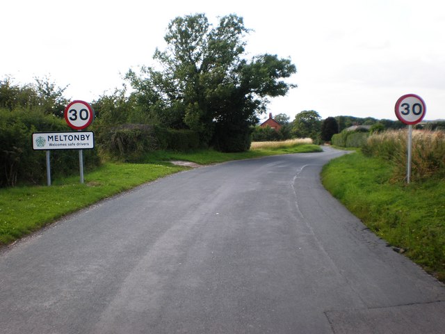
Meltonby

Meltonby is a hamlet in the civil parish of Yapham, in the East Riding of Yorkshire, England. It is situated approximately 2 miles (3.2 km) north of Pocklington...

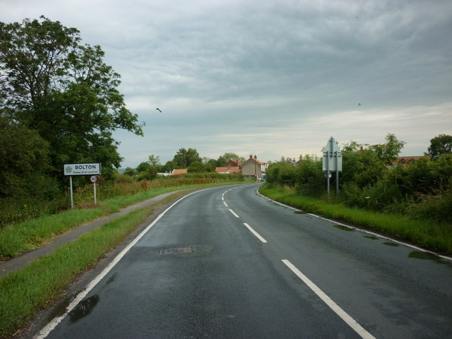
Bolton, East Riding of Yorkshire

Bolton is a village and former civil parish, now in the parish of Fangfoss, in the East Riding of Yorkshire, England. It is situated approximately 10 miles...

Yapham Gate railway station

Yapham Gate railway station was a station on the York to Beverley Line in the East Riding of Yorkshire, England. It opened on 4 October 1847 and served...

Nearby Amenities

Located within 500m of 53.958598,-0.799561
Yapham
Is In: East Riding of Yorkshire, England, UK
Is In County: East Riding of Yorkshire
Place: hamlet
Lat/Long: 53.9584037/-0.8004648
Bench
Lat/Long: 53.9586935/-0.7994775
Post Box
Collection Times: Mo-Fr 16:15; Sa 10:45
Post Box Type: lamp
Ref: YO42 178
Royal Cypher: EIIR
Royal Cypher Wikidata: Q33102113
Lat/Long: 53.9587147/-0.799521
Public Bookcase
Booth: K6
Disused Amenity: telephone
Man Made: telephone_box
Public Bookcase Type: phone_box
Lat/Long: 53.9587436/-0.7995407
Bus Stop
Yapham Main Street
Naptan AtcoCode: 2200YEA01057
Naptan Bearing: E
Naptan CommonName: Yapham Main Street
Naptan Street: Meltonby Lane
Naptan Verified: no
Source: naptan_import
Lat/Long: 53.9586832/-0.7993851
Barrier: kissing_gate
Lat/Long: 53.958989/-0.8010372
Passing Place
Lat/Long: 53.9571937/-0.7932962
Passing Place
Lat/Long: 53.9585005/-0.7965831
The data included in this document is from www.openstreetmap.org. The data is made available under ODbL.

Have you been to Yapham?

Leave your review of Yapham below (or comments, questions and feedback).