Wragby

Settlement in Lincolnshire East Lindsey

England

Wragby

The Ivy public house and Corndolly café
The Ivy public house and Corndolly café Credit: David Lally

Wragby is a small village located in the East Lindsey district of Lincolnshire, England. Situated approximately 10 miles north-east of Lincoln, it lies on the A158 road, connecting it to the nearby towns of Horncastle and Skegness. With a population of around 2,000 people, Wragby offers a peaceful rural environment with close proximity to larger urban areas.

The village is known for its picturesque countryside, characterized by rolling hills and fertile farmland. Agriculture plays a significant role in the local economy, with many residents involved in farming activities. The surrounding landscape provides opportunities for outdoor activities such as hiking, cycling, and birdwatching.

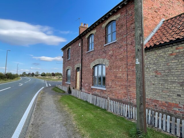
Wragby is home to several historic buildings, including the Grade II listed All Saints Church. This beautiful church dates back to the 14th century and features a striking tower and intricate stained glass windows. The village also boasts a selection of charming cottages and traditional houses, adding to its quaint and timeless atmosphere.

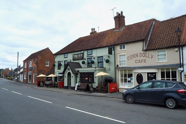
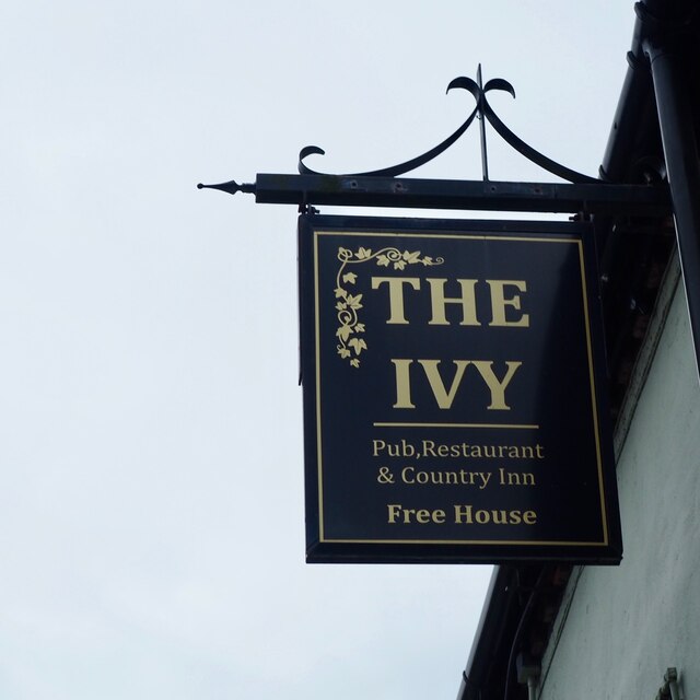
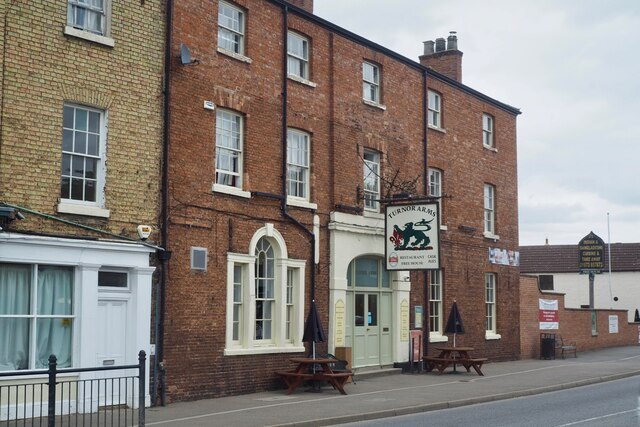
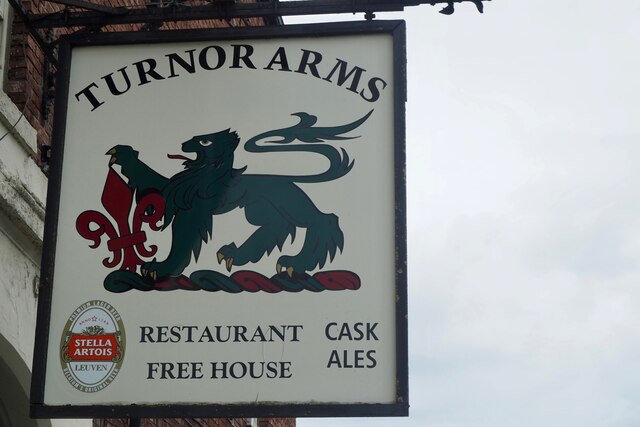
Amenities in Wragby include a primary school, a medical practice, a post office, and a few local shops and pubs. The village has a strong sense of community, with regular events and activities organized by local groups and organizations.

Overall, Wragby offers a peaceful and idyllic setting for those seeking a rural lifestyle, while still providing convenient access to nearby towns and amenities. Its rich history, natural beauty, and friendly community make it an appealing place to live or visit in Lincolnshire.

If you have any feedback on the listing, please let us know in the comments section below.
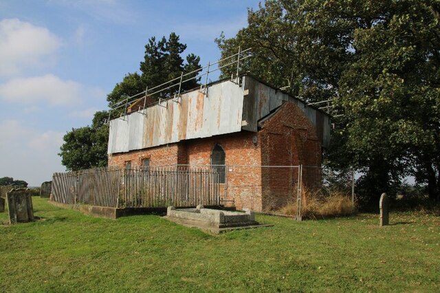
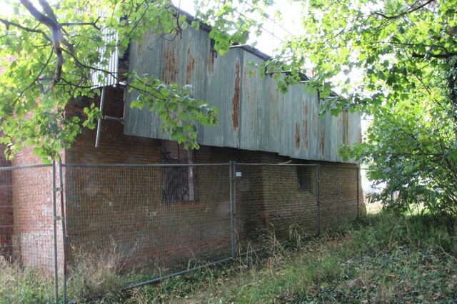
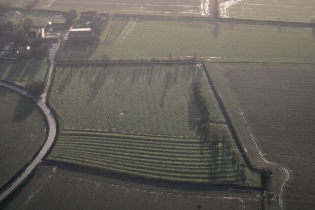
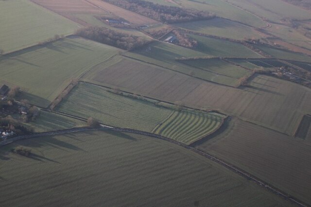
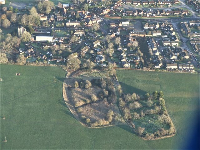
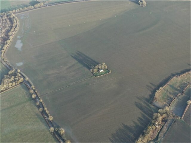
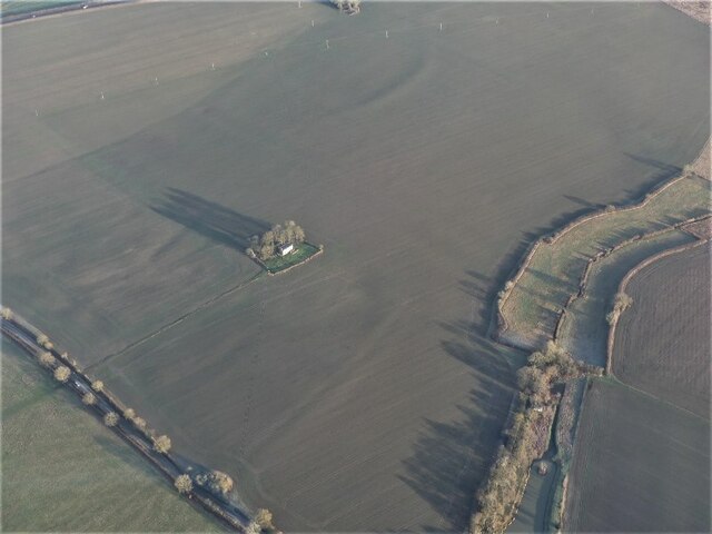
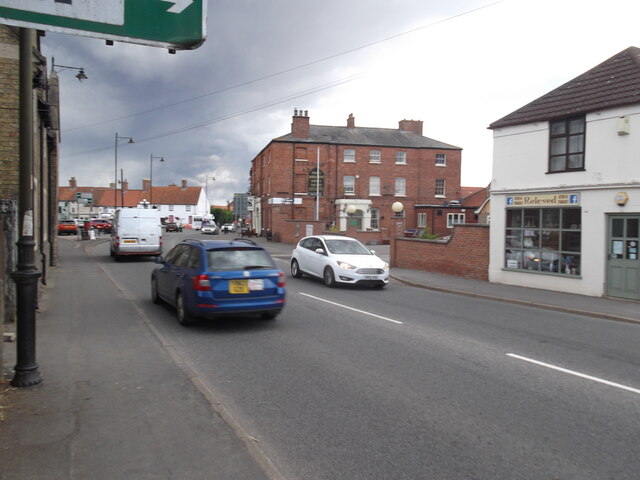
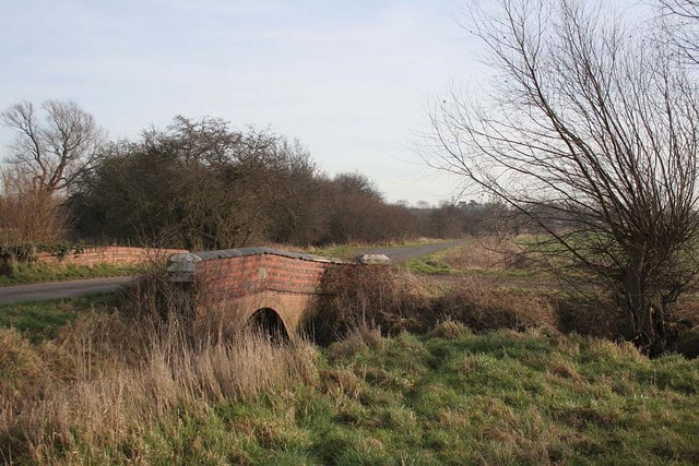
Wragby Images

Images are sourced within 2km of 53.287441/-0.30107231 or Grid Reference TF1378. Thanks to Geograph Open Source API. All images are credited.

The Ivy public house and Corndolly café
The Turnor Arms
The Turnor Arms
The sign of The Turnor Arms See: <a href="https://www.geograph.org.uk/photo/6933995">TF1378 : The Turnor Arms</a>
The sign of The Turnor Arms
Cut Mark: Langton by Wragby, Rising Sun Farm Cut bench mark on the frontage of the farm building, facing the A158.  See <a title="https://www.geograph.org.uk/photo/6972663" href="https://www.geograph.org.uk/photo/6972663">Link</a> for a wider view and <span class="nowrap"><a title="https://www.bench-marks.org.uk/bm23078" rel="nofollow ugc noopener" href="https://www.bench-marks.org.uk/bm23078">Link</a><img style="margin-left:2px;" alt="External link" title="External link - shift click to open in new window" src="https://s1.geograph.org.uk/img/external.png" width="10" height="10"/></span> for details of the mark.
Cut Mark: Langton by Wragby, Rising Sun Farm
Cut bench mark on the frontage of the farm building, facing the A158. See Link for a wider view and LinkExternal link for details of the mark.
Langton by Wragby, Rising Sun Farm There is a cut bench mark on the frontage of the farm building at the far end, facing the A158.  See <a title="https://www.geograph.org.uk/photo/6972661" href="https://www.geograph.org.uk/photo/6972661">Link</a> for a close-up view and <span class="nowrap"><a title="https://www.bench-marks.org.uk/bm23078" rel="nofollow ugc noopener" href="https://www.bench-marks.org.uk/bm23078">Link</a><img style="margin-left:2px;" alt="External link" title="External link - shift click to open in new window" src="https://s1.geograph.org.uk/img/external.png" width="10" height="10"/></span> for details of the mark.
Langton by Wragby, Rising Sun Farm
There is a cut bench mark on the frontage of the farm building at the far end, facing the A158. See Link for a close-up view and LinkExternal link for details of the mark.
Goltho, St. George's Church, 2021 (1) 8 years after a disastrous fire in 2013 - See <a href="https://www.geograph.org.uk/photo/3716859">TF1177 : St.George's church</a>.
Goltho, St. George's Church, 2021 (1)
8 years after a disastrous fire in 2013 - See TF1177 : St.George's church.
Goltho, St. George's Church, 2021 (2) 8 years after a disastrous fire in 2013 - See <a href="https://www.geograph.org.uk/photo/3716859">TF1177 : St.George's church</a>.
Goltho, St. George's Church, 2021 (2)
8 years after a disastrous fire in 2013 - See TF1177 : St.George's church.
Goltho, St. George's Church, 2021 (3) 8 years after a disastrous fire in 2013 - See <a href="https://www.geograph.org.uk/photo/3716859">TF1177 : St.George's church</a>.
Goltho, St. George's Church, 2021 (3)
8 years after a disastrous fire in 2013 - See TF1177 : St.George's church.
Goltho, St. George's Church, 2021 (4) 8 years after a disastrous fire in 2013 - See <a href="https://www.geograph.org.uk/photo/3716859">TF1177 : St.George's church</a>.
Goltho, St. George's Church, 2021 (4)
8 years after a disastrous fire in 2013 - See TF1177 : St.George's church.
Goltho, St. George's Church, 2021 (5) 8 years after a disastrous fire in 2013 - See <a href="https://www.geograph.org.uk/photo/3716859">TF1177 : St.George's church</a>.
Goltho, St. George's Church, 2021 (5)
8 years after a disastrous fire in 2013 - See TF1177 : St.George's church.
War grave at Goltho, St. George's Church, 2021 8 years after a disastrous fire in 2013 - See <a href="https://www.geograph.org.uk/photo/3716859">TF1177 : St.George's church</a>.
War grave at Goltho, St. George's Church, 2021
8 years after a disastrous fire in 2013 - See TF1177 : St.George's church.
Ridge and furrow, Langton by Wragby: aerial 2022 (2) See <span class="nowrap"><a title="https://www.heritagegateway.org.uk/Gateway/Results_Single.aspx?uid=MLI88904&resourceID=1006" rel="nofollow ugc noopener" href="https://www.heritagegateway.org.uk/Gateway/Results_Single.aspx?uid=MLI88904&resourceID=1006">Link</a><img style="margin-left:2px;" alt="External link" title="External link - shift click to open in new window" src="https://s1.geograph.org.uk/img/external.png" width="10" height="10"/></span>
Ridge and furrow, Langton by Wragby: aerial 2022 (2)
See LinkExternal link
Ridge and furrow, Langton by Wragby: aerial 2022 (1) See <span class="nowrap"><a title="https://www.heritagegateway.org.uk/Gateway/Results_Single.aspx?uid=MLI88904&resourceID=1006" rel="nofollow ugc noopener" href="https://www.heritagegateway.org.uk/Gateway/Results_Single.aspx?uid=MLI88904&resourceID=1006">Link</a><img style="margin-left:2px;" alt="External link" title="External link - shift click to open in new window" src="https://s1.geograph.org.uk/img/external.png" width="10" height="10"/></span>
Ridge and furrow, Langton by Wragby: aerial 2022 (1)
See LinkExternal link
"Wragby Moats", a Manorian Manor complex: aerial 2022 The remains of a medieval manorial complex. 

See <span class="nowrap"><a title="https://www.heritagegateway.org.uk/Gateway/Results_Single.aspx?uid=09cad9c1-6cbb-4d7a-b6ac-b5ff9c4d1eec&resourceID=19191" rel="nofollow ugc noopener" href="https://www.heritagegateway.org.uk/Gateway/Results_Single.aspx?uid=09cad9c1-6cbb-4d7a-b6ac-b5ff9c4d1eec&resourceID=19191">Link</a><img style="margin-left:2px;" alt="External link" title="External link - shift click to open in new window" src="https://s1.geograph.org.uk/img/external.png" width="10" height="10"/></span> and <span class="nowrap"><a title="https://www.heritagegateway.org.uk/Gateway/Results_Single.aspx?uid=MLI43631&resourceID=1006" rel="nofollow ugc noopener" href="https://www.heritagegateway.org.uk/Gateway/Results_Single.aspx?uid=MLI43631&resourceID=1006">Link</a><img style="margin-left:2px;" alt="External link" title="External link - shift click to open in new window" src="https://s1.geograph.org.uk/img/external.png" width="10" height="10"/></span>

See also <a href="https://www.geograph.org.uk/photo/5021809">TF1377 : Wragby moats: aerial 2016</a> and <a href="https://www.geograph.org.uk/photo/5021793">TF1377 : Wragby and its moats: aerial 2016</a>.
"Wragby Moats", a Manorian Manor complex: aerial 2022
The remains of a medieval manorial complex. See LinkExternal link and LinkExternal link See also TF1377 : Wragby moats: aerial 2016 and TF1377 : Wragby and its moats: aerial 2016.
Goltho: aerial 2022 (1) St. George's Church: <span class="nowrap"><a title="https://www.heritagegateway.org.uk/Gateway/Results_Single.aspx?uid=76b2167a-05d4-432c-a931-3a659f9cdacf&resourceID=19191" rel="nofollow ugc noopener" href="https://www.heritagegateway.org.uk/Gateway/Results_Single.aspx?uid=76b2167a-05d4-432c-a931-3a659f9cdacf&resourceID=19191">Link</a><img style="margin-left:2px;" alt="External link" title="External link - shift click to open in new window" src="https://s1.geograph.org.uk/img/external.png" width="10" height="10"/></span>

Goltho Medieval Settlement Earthwork And Cropmark Site: <span class="nowrap"><a title="https://www.heritagegateway.org.uk/Gateway/Results_Single.aspx?uid=ec19aad5-49d4-4854-bafb-f065821c9129&resourceID=19191" rel="nofollow ugc noopener" href="https://www.heritagegateway.org.uk/Gateway/Results_Single.aspx?uid=ec19aad5-49d4-4854-bafb-f065821c9129&resourceID=19191">Link</a><img style="margin-left:2px;" alt="External link" title="External link - shift click to open in new window" src="https://s1.geograph.org.uk/img/external.png" width="10" height="10"/></span>

Traces of Romano-British settlement: <span class="nowrap"><a title="https://www.heritagegateway.org.uk/Gateway/Results_Single.aspx?uid=59411ede-0a52-4991-907a-6925db9d8905&resourceID=19191" rel="nofollow ugc noopener" href="https://www.heritagegateway.org.uk/Gateway/Results_Single.aspx?uid=59411ede-0a52-4991-907a-6925db9d8905&resourceID=19191">Link</a><img style="margin-left:2px;" alt="External link" title="External link - shift click to open in new window" src="https://s1.geograph.org.uk/img/external.png" width="10" height="10"/></span>

Site of defended manorial enclosure: <span class="nowrap"><a title="https://www.heritagegateway.org.uk/Gateway/Results_Single.aspx?uid=MLI50494&resourceID=1006" rel="nofollow ugc noopener" href="https://www.heritagegateway.org.uk/Gateway/Results_Single.aspx?uid=MLI50494&resourceID=1006">Link</a><img style="margin-left:2px;" alt="External link" title="External link - shift click to open in new window" src="https://s1.geograph.org.uk/img/external.png" width="10" height="10"/></span>

Site of motte and bailey castle: <span class="nowrap"><a title="https://www.heritagegateway.org.uk/Gateway/Results_Single.aspx?uid=MLI50493&resourceID=1006" rel="nofollow ugc noopener" href="https://www.heritagegateway.org.uk/Gateway/Results_Single.aspx?uid=MLI50493&resourceID=1006">Link</a><img style="margin-left:2px;" alt="External link" title="External link - shift click to open in new window" src="https://s1.geograph.org.uk/img/external.png" width="10" height="10"/></span>

Part of Middle-Saxon settlement: <span class="nowrap"><a title="https://www.heritagegateway.org.uk/Gateway/Results_Single.aspx?uid=MLI51233&resourceID=1006" rel="nofollow ugc noopener" href="https://www.heritagegateway.org.uk/Gateway/Results_Single.aspx?uid=MLI51233&resourceID=1006">Link</a><img style="margin-left:2px;" alt="External link" title="External link - shift click to open in new window" src="https://s1.geograph.org.uk/img/external.png" width="10" height="10"/></span>

Deserted settlement of Goltho or Bullington: <span class="nowrap"><a title="https://www.heritagegateway.org.uk/Gateway/Results_Single.aspx?uid=MLI51217&resourceID=1006" rel="nofollow ugc noopener" href="https://www.heritagegateway.org.uk/Gateway/Results_Single.aspx?uid=MLI51217&resourceID=1006">Link</a><img style="margin-left:2px;" alt="External link" title="External link - shift click to open in new window" src="https://s1.geograph.org.uk/img/external.png" width="10" height="10"/></span>

Romano-British farmstead and building remains: <span class="nowrap"><a title="https://www.heritagegateway.org.uk/Gateway/Results_Single.aspx?uid=MLI50713&resourceID=1006" rel="nofollow ugc noopener" href="https://www.heritagegateway.org.uk/Gateway/Results_Single.aspx?uid=MLI50713&resourceID=1006">Link</a><img style="margin-left:2px;" alt="External link" title="External link - shift click to open in new window" src="https://s1.geograph.org.uk/img/external.png" width="10" height="10"/></span>


The soilmarks are picked out by the early morning January frost, and the remains of the earthworks by the (long) early morning morning winter shadows - note the shadows of the trees around the church.
Goltho: aerial 2022 (1)
St. George's Church: LinkExternal link Goltho Medieval Settlement Earthwork And Cropmark Site: LinkExternal link Traces of Romano-British settlement: LinkExternal link Site of defended manorial enclosure: LinkExternal link Site of motte and bailey castle: LinkExternal link Part of Middle-Saxon settlement: LinkExternal link Deserted settlement of Goltho or Bullington: LinkExternal link Romano-British farmstead and building remains: LinkExternal link The soilmarks are picked out by the early morning January frost, and the remains of the earthworks by the (long) early morning morning winter shadows - note the shadows of the trees around the church.
Goltho: aerial 2022 (2) St. George's Church: <span class="nowrap"><a title="https://www.heritagegateway.org.uk/Gateway/Results_Single.aspx?uid=76b2167a-05d4-432c-a931-3a659f9cdacf&resourceID=19191" rel="nofollow ugc noopener" href="https://www.heritagegateway.org.uk/Gateway/Results_Single.aspx?uid=76b2167a-05d4-432c-a931-3a659f9cdacf&resourceID=19191">Link</a><img style="margin-left:2px;" alt="External link" title="External link - shift click to open in new window" src="https://s1.geograph.org.uk/img/external.png" width="10" height="10"/></span>

Goltho Medieval Settlement Earthwork And Cropmark Site: <span class="nowrap"><a title="https://www.heritagegateway.org.uk/Gateway/Results_Single.aspx?uid=ec19aad5-49d4-4854-bafb-f065821c9129&resourceID=19191" rel="nofollow ugc noopener" href="https://www.heritagegateway.org.uk/Gateway/Results_Single.aspx?uid=ec19aad5-49d4-4854-bafb-f065821c9129&resourceID=19191">Link</a><img style="margin-left:2px;" alt="External link" title="External link - shift click to open in new window" src="https://s1.geograph.org.uk/img/external.png" width="10" height="10"/></span>

Traces of Romano-British settlement: <span class="nowrap"><a title="https://www.heritagegateway.org.uk/Gateway/Results_Single.aspx?uid=59411ede-0a52-4991-907a-6925db9d8905&resourceID=19191" rel="nofollow ugc noopener" href="https://www.heritagegateway.org.uk/Gateway/Results_Single.aspx?uid=59411ede-0a52-4991-907a-6925db9d8905&resourceID=19191">Link</a><img style="margin-left:2px;" alt="External link" title="External link - shift click to open in new window" src="https://s1.geograph.org.uk/img/external.png" width="10" height="10"/></span>

Site of defended manorial enclosure: <span class="nowrap"><a title="https://www.heritagegateway.org.uk/Gateway/Results_Single.aspx?uid=MLI50494&resourceID=1006" rel="nofollow ugc noopener" href="https://www.heritagegateway.org.uk/Gateway/Results_Single.aspx?uid=MLI50494&resourceID=1006">Link</a><img style="margin-left:2px;" alt="External link" title="External link - shift click to open in new window" src="https://s1.geograph.org.uk/img/external.png" width="10" height="10"/></span>

Site of motte and bailey castle: <span class="nowrap"><a title="https://www.heritagegateway.org.uk/Gateway/Results_Single.aspx?uid=MLI50493&resourceID=1006" rel="nofollow ugc noopener" href="https://www.heritagegateway.org.uk/Gateway/Results_Single.aspx?uid=MLI50493&resourceID=1006">Link</a><img style="margin-left:2px;" alt="External link" title="External link - shift click to open in new window" src="https://s1.geograph.org.uk/img/external.png" width="10" height="10"/></span>

Part of Middle-Saxon settlement: <span class="nowrap"><a title="https://www.heritagegateway.org.uk/Gateway/Results_Single.aspx?uid=MLI51233&resourceID=1006" rel="nofollow ugc noopener" href="https://www.heritagegateway.org.uk/Gateway/Results_Single.aspx?uid=MLI51233&resourceID=1006">Link</a><img style="margin-left:2px;" alt="External link" title="External link - shift click to open in new window" src="https://s1.geograph.org.uk/img/external.png" width="10" height="10"/></span>

Deserted settlement of Goltho or Bullington: <span class="nowrap"><a title="https://www.heritagegateway.org.uk/Gateway/Results_Single.aspx?uid=MLI51217&resourceID=1006" rel="nofollow ugc noopener" href="https://www.heritagegateway.org.uk/Gateway/Results_Single.aspx?uid=MLI51217&resourceID=1006">Link</a><img style="margin-left:2px;" alt="External link" title="External link - shift click to open in new window" src="https://s1.geograph.org.uk/img/external.png" width="10" height="10"/></span>

Romano-British farmstead and building remains: <span class="nowrap"><a title="https://www.heritagegateway.org.uk/Gateway/Results_Single.aspx?uid=MLI50713&resourceID=1006" rel="nofollow ugc noopener" href="https://www.heritagegateway.org.uk/Gateway/Results_Single.aspx?uid=MLI50713&resourceID=1006">Link</a><img style="margin-left:2px;" alt="External link" title="External link - shift click to open in new window" src="https://s1.geograph.org.uk/img/external.png" width="10" height="10"/></span>

The soilmarks are picked out by the early morning January frost, and the remains of the earthworks by the (long) early morning morning winter shadows - note the shadows of the trees around the church.
Goltho: aerial 2022 (2)
St. George's Church: LinkExternal link Goltho Medieval Settlement Earthwork And Cropmark Site: LinkExternal link Traces of Romano-British settlement: LinkExternal link Site of defended manorial enclosure: LinkExternal link Site of motte and bailey castle: LinkExternal link Part of Middle-Saxon settlement: LinkExternal link Deserted settlement of Goltho or Bullington: LinkExternal link Romano-British farmstead and building remains: LinkExternal link The soilmarks are picked out by the early morning January frost, and the remains of the earthworks by the (long) early morning morning winter shadows - note the shadows of the trees around the church.
The Turnor Arms, Wragby
Show me another place!

Wragby is located at Grid Ref: TF1378 (Lat: 53.287441, Lng: -0.30107231)

Division: Parts of Lindsey

Administrative County: Lincolnshire

District: East Lindsey

Police Authority: Lincolnshire

What 3 Words

///ticked.earplugs.claps. Near Wragby, Lincolnshire

Nearby Locations

Wragby Wragby

Related Wikis

Wragby

Wragby ( RAG-bee) is a town and civil parish in the East Lindsey district of Lincolnshire, England. It is situated at the junction of the A157 and A158...

Wragby railway station

Wragby railway station was a railway station that served the town of Wragby, Lincolnshire, England between 1874 and 1960, on the Louth to Bardney line...

Langton by Wragby

Langton by Wragby is a small village and civil parish in the East Lindsey district of Lincolnshire, England. It lies approximately 1 mile (1.6 km) south...

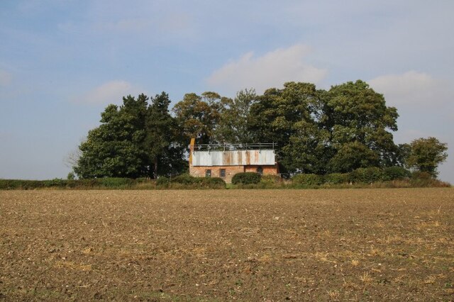
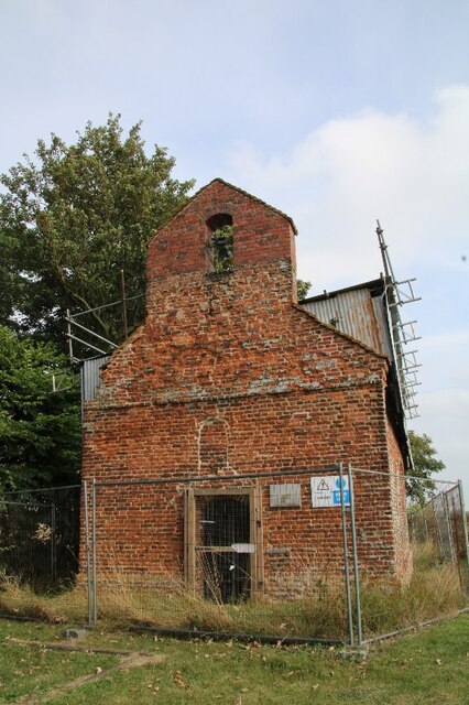
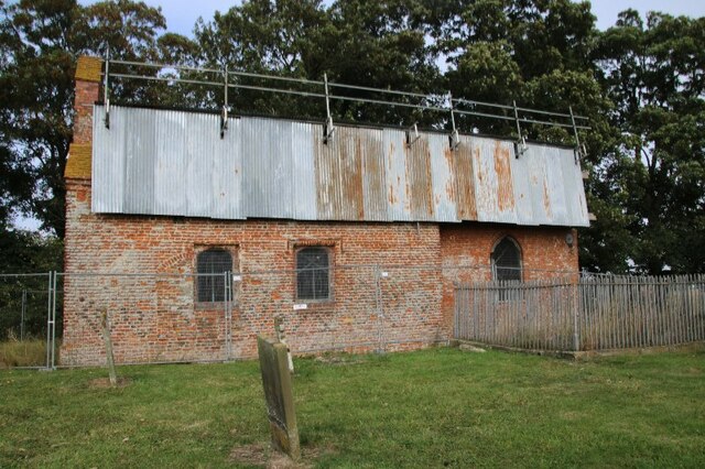
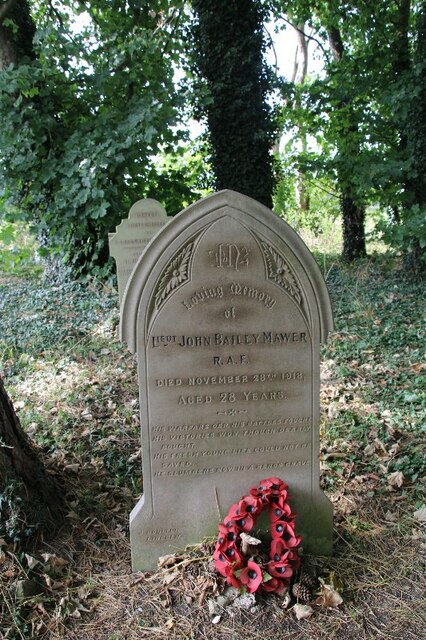
St George's Church, Goltho

St George's Church is a redundant Anglican church in the deserted village of Goltho, Lincolnshire, England. It is recorded in the National Heritage List...

Goltho

Goltho is a hamlet in the West Lindsey district of Lincolnshire, England. The population (including Bullington) was 157 at the 2011 census. It is situated...

Rand, Lincolnshire

Rand is a small village and civil parish in the West Lindsey district of Lincolnshire, England. It is situated approximately 9 miles (14 km) north-east...

Kingthorpe

Kingthorpe is a hamlet in the West Lindsey district of Lincolnshire, England. The hamlet is in the civil parish of Apley, and is 10 miles (16 km) east...

Kingthorpe railway station

Kingthorpe railway station was a railway station that served the village of Kingthorpe, Lincolnshire, England between 1874 and 1956, on the Louth to Bardney...

Nearby Amenities

Located within 500m of 53.287441,-0.30107231
Wragby
Is In: Lincolnshire, England, UK
Place: town
Source: NPE
Wikidata: Q610691
Wikipedia: en:Wragby
Lat/Long: 53.287009/-0.3035517
Bus Stop
Silver Street
Bus: yes
Naptan AtcoCode: 270000007990
Naptan Bearing: NE
Naptan CommonName: Silver Street
Naptan Indicator: opp
Naptan Landmark: Silver Street
Naptan NaptanCode: lingmptm
Naptan Street: Louth Road
Naptan Verified: no
Public Transport: platform
Source: naptan_import
Lat/Long: 53.2894846/-0.2960316
Bus Stop
Silver Street
Bus: yes
Naptan AtcoCode: 270000007991
Naptan Bearing: SW
Naptan CommonName: Silver Street
Naptan Indicator: adj
Naptan Landmark: Silver Street
Naptan NaptanCode: lingmptp
Naptan Street: Louth Road
Naptan Verified: no
Public Transport: platform
Source: naptan_import
Lat/Long: 53.2894292/-0.2959288
Bus Stop
Bridle Way
Bench: yes
Bin: yes
Bus: yes
Naptan AtcoCode: 270000008299
Naptan Bearing: E
Naptan CommonName: Bridle Way
Naptan Indicator: adj
Naptan Landmark: Bridle Way
Naptan NaptanCode: lingpmat
Naptan Street: Horncastle Road
Naptan Verified: no
Public Transport: platform
Shelter: yes
Source: naptan_import
Lat/Long: 53.2862356/-0.2945257
Bus Stop
Bridle Way
Bus: yes
Naptan AtcoCode: 270000008300
Naptan Bearing: W
Naptan CommonName: Bridle Way
Naptan Indicator: opp
Naptan Landmark: Bridle Way
Naptan NaptanCode: lingpmaw
Naptan Street: Horncastle Road
Naptan Verified: no
Public Transport: platform
Source: naptan_import
Lat/Long: 53.2860709/-0.2943222
Bus Stop
Holmes Way
Bench: yes
Bin: yes
Bus: yes
Lit: no
Naptan AtcoCode: 2700LWMP1562
Naptan Bearing: E
Naptan CommonName: Holmes Way
Naptan Indicator: adj
Naptan Landmark: Holmes Way
Naptan NaptanCode: linamawj
Naptan Street: A158
Naptan Verified: yes
Public Transport: platform
Shelter: yes
Tactile Paving: yes
Lat/Long: 53.2873132/-0.3035708
Bus Stop
Holmes Way
Naptan AtcoCode: 2700LWMP2701
Naptan Bearing: W
Naptan CommonName: Holmes Way
Naptan Indicator: opp
Naptan Landmark: Holmes Way
Naptan NaptanCode: linatmap
Naptan Street: A158
Naptan Verified: no
Shelter: yes
Source: naptan_import
Lat/Long: 53.2871816/-0.304064
Bus Stop
Primary School (disused)
Bus: yes
Naptan AtcoCode: 2700LWPS0413
Naptan Bearing: N
Naptan CommonName: Primary School
Naptan Landmark: Primary School
Naptan NaptanCode: linadpdj
Naptan Street: Silver Street
Naptan Verified: no
Public Transport: platform
Source: naptan_import
Lat/Long: 53.2877702/-0.2973287
Lincolnshire Co-op
Brand: Lincolnshire Co-op
Brand Wikidata: Q6551231
Brand Wikipedia: en:Lincolnshire Co-operative
Disused Shop: supermarket
Note: Estimated position
Operator: Lincolnshire Co-operative Society
Source: survey
Lat/Long: 53.2869268/-0.3026957
Cafe
Corn Dolly Cafe
Addr City: Market Rasen
Addr Country: GB
Addr Postcode: LN8 5QU
Addr Street: Market Place
Addr Suburb: Wragby
Fhrs Authority: East Lindsey
Fhrs Id: 156298
Fhrs Local Authority Id: EHFDI/02650/08
Source: survey
Lat/Long: 53.2868741/-0.3035151
R Whisby Butchers
Addr City: Market Rasen
Addr Country: GB
Addr Postcode: LN8 5QU
Addr Street: Market Place
Addr Suburb: Wragby
Fhrs Authority: East Lindsey
Fhrs Id: 156015
Fhrs Local Authority Id: EHFDI/01606/08
Shop: butcher
Source: survey
Lat/Long: 53.2870515/-0.3034117
Dhindsa Stores
Addr City: Market Rasen
Addr Country: GB
Addr Postcode: LN8 5QU
Addr Street: Market Place
Addr Suburb: Wragby
Brand: Premier
Brand Wikidata: Q7240340
Brand Wikipedia: en:Premier Stores
Fhrs Authority: East Lindsey
Fhrs Id: 156956
Fhrs Local Authority Id: EHFDI/07170/08
Note: also off-license
Shop: convenience
Lat/Long: 53.2869457/-0.303475
Fast Food
Wragby Fish Bar
Addr City: Market Rasen
Addr Country: GB
Addr Housename: Shaw House
Addr Postcode: LN8 5QU
Addr Street: Market Place
Addr Suburb: Wragby
Cuisine: fish_and_chips
Fhrs Authority: East Lindsey
Fhrs Id: 156302
Fhrs Local Authority Id: EHFDI/02672/08
Source: survey
Unit: 1
Lat/Long: 53.286837/-0.3028529
Fast Food
Wragby Pizza & Kebab
Addr City: Market Rasen
Addr Country: GB
Addr Postcode: LN8 5QU
Addr Street: Market Place
Addr Suburb: Wragby
Cuisine: pizza
Fhrs Authority: East Lindsey
Fhrs Id: 157598
Fhrs Local Authority Id: EHFDI/27348/09
Source: survey
Lat/Long: 53.2868671/-0.3027994
Barrier: bollard
Source: Bing
Lat/Long: 53.2868377/-0.3032821
Barrier: bollard
Source: Bing
Lat/Long: 53.286899/-0.3032445
Barrier: bollard
Source: Bing
Lat/Long: 53.2868709/-0.3032626
Barrier: bollard
Source: Bing
Lat/Long: 53.2868124/-0.3033008
Barrier: bollard
Source: Bing
Lat/Long: 53.2868249/-0.3032901
Barrier: bollard
Source: Bing
Lat/Long: 53.2868858/-0.3032526
Barrier: bollard
Source: Bing
Lat/Long: 53.2868537/-0.303272
Barrier: bollard
Source: Bing
Lat/Long: 53.2868004/-0.3033109
Barrier: bollard
Foot: yes
Source: Bing
Lat/Long: 53.2870373/-0.303152
Barrier: bollard
Source: Bing
Lat/Long: 53.2867844/-0.3033223
Barrier: bollard
Source: Bing
Lat/Long: 53.2867695/-0.303333
Barrier: bollard
Source: Bing
Lat/Long: 53.2869319/-0.3032231
Barrier: bollard
Source: Bing
Lat/Long: 53.2869471/-0.3032123
Access: foot
Barrier: bollard
Source: Bing
Lat/Long: 53.2870161/-0.3031661
Barrier: bollard
Source: Bing
Lat/Long: 53.2867567/-0.3033417
Access: foot
Barrier: bollard
Source: Bing
Lat/Long: 53.28697/-0.3031976
Barrier: bollard
Source: Bing
Lat/Long: 53.2869147/-0.3032331
Toilets
Lat/Long: 53.287038/-0.3025144
Barrier: bollard
Lat/Long: 53.287077/-0.3061809
Barrier: bollard
Lat/Long: 53.2872045/-0.3061626
BT Exchange microwave link
Man Made: mast
Lat/Long: 53.286957/-0.3056438
Fast Food
Silver Star
Addr City: Market Rasen
Addr Country: GB
Addr Postcode: LN8 5QZ
Addr Street: Bardney Road
Addr Suburb: Wragby
Cuisine: chinese
Fhrs Authority: East Lindsey
Fhrs Id: 156301
Fhrs Local Authority Id: EHFDI/02667/08
Takeaway: only
Lat/Long: 53.2865542/-0.3037119
Cafe
Shortcakes
Addr City: Market Rasen
Addr Postcode: LN8 5QU
Addr Street: Market Place
Addr Suburb: Wragby
Phone: +44 1673 857 500
Lat/Long: 53.2866697/-0.3036247
Building: yes
Lat/Long: 53.2868757/-0.3056132
Access: foot
Barrier: bollard
Lat/Long: 53.2869967/-0.3031789
Speed Camera
Lat/Long: 53.2873204/-0.3057397
Addr City: Market Rasen
Addr Housenumber: 1
Addr Postcode: LN8 5JT
Addr Street: Carpenters Close
Addr Suburb: Wragby
Lat/Long: 53.2863233/-0.3061692
Addr City: Market Rasen
Addr Housenumber: 2
Addr Postcode: LN8 5JT
Addr Street: Carpenters Close
Addr Suburb: Wragby
Lat/Long: 53.2864612/-0.3061477
Addr City: Market Rasen
Addr Housenumber: 6
Addr Postcode: LN8 5JT
Addr Street: Carpenters Close
Addr Suburb: Wragby
Lat/Long: 53.2865751/-0.3061289
Addr City: Market Rasen
Addr Housenumber: 4
Addr Postcode: LN8 5JT
Addr Street: Carpenters Close
Addr Suburb: Wragby
Lat/Long: 53.2865189/-0.3061397
Addr City: Market Rasen
Addr Housenumber: 8
Addr Postcode: LN8 5JT
Addr Street: Carpenters Close
Addr Suburb: Wragby
Lat/Long: 53.2866167/-0.3061202
Addr City: Market Rasen
Addr Housenumber: 14
Addr Postcode: LN8 5JT
Addr Street: Carpenters Close
Addr Suburb: Wragby
Lat/Long: 53.2867755/-0.3060908
Addr City: Market Rasen
Addr Housenumber: 16
Addr Postcode: LN8 5JT
Addr Street: Carpenters Close
Addr Suburb: Wragby
Lat/Long: 53.2868316/-0.3060747
Addr City: Market Rasen
Addr Housenumber: 12
Addr Postcode: LN8 5JT
Addr Street: Carpenters Close
Addr Suburb: Wragby
Lat/Long: 53.2867337/-0.3061016
Addr City: Market Rasen
Addr Housenumber: 10
Addr Postcode: LN8 5JT
Addr Street: Carpenters Close
Addr Suburb: Wragby
Lat/Long: 53.2866712/-0.3061122
Power: pole
Lat/Long: 53.2837234/-0.3012625
Power: pole
Lat/Long: 53.2841421/-0.3011161
Power: pole
Lat/Long: 53.2845863/-0.300952
Power: pole
Lat/Long: 53.2846852/-0.2968994
Power: pole
Lat/Long: 53.2848771/-0.2982858
Power: pole
Lat/Long: 53.285135/-0.2993838
Power: pole
Lat/Long: 53.2854348/-0.3006402
Power: pole
Lat/Long: 53.2862207/-0.3002399
Archaeological Site: fortification
Historic: archaeological_site
Source: Bing
Lat/Long: 53.2846712/-0.2984329
Post Office
Wragby Post Office
Addr City: Market Rasen
Addr Postcode: LN8 5QU
Addr Street: Market Place
Addr Suburb: Wragby
Branch: Wragby
Brand: Post Office
Brand Wikidata: Q1783168
Check Date: 2020-02-20
Contact Website: https://www.postoffice.co.uk/branch-finder/0234710/wragby
Phone: +44 1673 858201
Ref Pol Id: 167523
Lat/Long: 53.2870673/-0.3024615
Traffic Signals
Traffic Signals Direction: backward
Lat/Long: 53.2873327/-0.3031192
Power: pole
Lat/Long: 53.2889054/-0.3074968
Power: pole
Lat/Long: 53.2892208/-0.3072393
Power: pole
Lat/Long: 53.2892265/-0.3039881
Power: pole
Lat/Long: 53.2894849/-0.304878
Power: pole
Lat/Long: 53.2897375/-0.3057297
Power: pole
Lat/Long: 53.2899959/-0.3066673
Power: pole
Lat/Long: 53.2918575/-0.3018061
Traffic Signals
Traffic Signals Direction: forward
Lat/Long: 53.2870157/-0.3032673
Halo
Female: yes
Shop: hairdresser
Lat/Long: 53.2861926/-0.304105
Post Box
Lat/Long: 53.2870645/-0.3024836
Paws for Thought
Grooming: yes
Shop: pet
Lat/Long: 53.2868178/-0.302901
Polly's Produce
Addr City: Market Rasen
Addr Country: GB
Addr Housename: Gothic House
Addr Postcode: LN8 5QU
Addr Street: Market Place
Addr Suburb: Wragby
Fhrs Authority: East Lindsey
Fhrs Id: 716637
Fhrs Local Authority Id: EHFDI/10405/14
Shop: greengrocer
Lat/Long: 53.2867944/-0.3029301
Shop: art
Tourism: artwork
Lat/Long: 53.2867118/-0.3030322
TCS Soil Analysis
Lat/Long: 53.2865331/-0.304122
Country Hair
Female: yes
Shop: hairdresser
Lat/Long: 53.2867721/-0.3029607
Addr Housename: Rosedene
Addr Street: Louth Road
Lat/Long: 53.2902318/-0.2953342
Addr Housename: Woodlands
Addr Street: Louth Road
Lat/Long: 53.2884024/-0.3000756
Veterinary
Lincs Veterinary Solutions
Lat/Long: 53.28737/-0.3019723
Doctors
Wragby Medical Centre
Addr Street: Old Grammar School Way
Healthcare: doctor
Phone: +44 1673 858206
Lat/Long: 53.2881478/-0.3016082
Lincolnshire Co-op
Addr City: Market Rasen
Addr Country: GB
Addr Postcode: LN8 5ND
Addr Street: Lincoln Road
Addr Suburb: Wragby
Brand: Lincolnshire Co-op
Brand Wikidata: Q6551231
Brand Wikipedia: en:Lincolnshire Co-operative
Fhrs Authority: East Lindsey
Fhrs Id: 816643
Fhrs Local Authority Id: EHFDI/05094/15
Shop: supermarket
Lat/Long: 53.287135/-0.3041193
Police
Wragby Police Station
Addr Street: Silver Street
Phone: +44 1522 532222
Website: https://www.lincs.police.uk/
Lat/Long: 53.2872881/-0.2973455
Toilets
Lat/Long: 53.2871066/-0.3023142
Generator Method: photovoltaic
Generator Output Electricity: yes
Generator Source: solar
Generator Type: solar_photovoltaic_panel
Location: roof
Power: generator
Lat/Long: 53.2865522/-0.2953917
Generator Method: photovoltaic
Generator Output Electricity: yes
Generator Source: solar
Generator Type: solar_photovoltaic_panel
Location: roof
Power: generator
Lat/Long: 53.2865682/-0.2955258
Generator Method: photovoltaic
Generator Output Electricity: yes
Generator Source: solar
Generator Type: solar_photovoltaic_panel
Location: roof
Power: generator
Lat/Long: 53.2860311/-0.2970573
Generator Method: photovoltaic
Generator Output Electricity: yes
Generator Source: solar
Generator Type: solar_photovoltaic_panel
Location: roof
Power: generator
Lat/Long: 53.2858082/-0.2993935
Generator Method: photovoltaic
Generator Output Electricity: yes
Generator Source: solar
Generator Type: solar_photovoltaic_panel
Location: roof
Power: generator
Lat/Long: 53.2852266/-0.2956062
Generator Method: photovoltaic
Generator Output Electricity: yes
Generator Source: solar
Generator Type: solar_photovoltaic_panel
Location: roof
Power: generator
Lat/Long: 53.2859097/-0.2966791
Generator Method: photovoltaic
Generator Output Electricity: yes
Generator Source: solar
Generator Type: solar_photovoltaic_panel
Location: roof
Power: generator
Lat/Long: 53.2858768/-0.2967006
Generator Method: photovoltaic
Generator Output Electricity: yes
Generator Source: solar
Generator Type: solar_photovoltaic_panel
Location: roof
Power: generator
Lat/Long: 53.2858023/-0.296769
Generator Method: photovoltaic
Generator Output Electricity: yes
Generator Source: solar
Generator Type: solar_photovoltaic_panel
Location: roof
Power: generator
Lat/Long: 53.2858311/-0.2967448
Generator Method: photovoltaic
Generator Output Electricity: yes
Generator Source: solar
Generator Type: solar_photovoltaic_panel
Location: roof
Power: generator
Lat/Long: 53.2857566/-0.2968159
Generator Method: photovoltaic
Generator Output Electricity: yes
Generator Source: solar
Generator Type: solar_photovoltaic_panel
Location: roof
Power: generator
Lat/Long: 53.2857085/-0.296824
Generator Method: photovoltaic
Generator Output Electricity: yes
Generator Source: solar
Generator Type: solar_photovoltaic_panel
Location: roof
Power: generator
Lat/Long: 53.2856756/-0.2968481
Generator Method: photovoltaic
Generator Output Electricity: yes
Generator Source: solar
Generator Type: solar_photovoltaic_panel
Location: roof
Power: generator
Lat/Long: 53.2860051/-0.2970935
Generator Method: photovoltaic
Generator Output Electricity: yes
Generator Source: solar
Generator Type: solar_photovoltaic_panel
Location: roof
Power: generator
Lat/Long: 53.2868376/-0.2968159
Generator Method: photovoltaic
Generator Output Electricity: yes
Generator Source: solar
Generator Type: solar_photovoltaic_panel
Location: roof
Power: generator
Lat/Long: 53.2878345/-0.2968333
Generator Method: photovoltaic
Generator Output Electricity: yes
Generator Source: solar
Generator Type: solar_photovoltaic_panel
Location: roof
Power: generator
Lat/Long: 53.289053/-0.2960743
Generator Method: photovoltaic
Generator Output Electricity: yes
Generator Source: solar
Generator Type: solar_photovoltaic_panel
Location: roof
Power: generator
Lat/Long: 53.28892/-0.2982576
Generator Method: photovoltaic
Generator Output Electricity: yes
Generator Source: solar
Generator Type: solar_photovoltaic_panel
Location: roof
Power: generator
Lat/Long: 53.2890258/-0.2987618
Generator Method: photovoltaic
Generator Output Electricity: yes
Generator Source: solar
Generator Type: solar_photovoltaic_panel
Location: roof
Power: generator
Lat/Long: 53.289017/-0.2979465
Generator Method: photovoltaic
Generator Output Electricity: yes
Generator Source: solar
Generator Type: solar_photovoltaic_panel
Location: roof
Power: generator
Lat/Long: 53.2889817/-0.2979424
Generator Method: photovoltaic
Generator Output Electricity: yes
Generator Solar Modules: 6
Generator Source: solar
Generator Type: solar_photovoltaic_panel
Location: roof
Power: generator
Lat/Long: 53.288133/-0.2983474
Generator Method: photovoltaic
Generator Output Electricity: yes
Generator Solar Modules: 6
Generator Source: solar
Generator Type: solar_photovoltaic_panel
Location: roof
Power: generator
Lat/Long: 53.2880745/-0.2983716
Generator Method: photovoltaic
Generator Output Electricity: yes
Generator Solar Modules: 6
Generator Source: solar
Generator Type: solar_photovoltaic_panel
Location: roof
Power: generator
Lat/Long: 53.2880144/-0.2984091
Generator Method: photovoltaic
Generator Output Electricity: yes
Generator Solar Modules: 6
Generator Source: solar
Generator Type: solar_photovoltaic_panel
Location: roof
Power: generator
Lat/Long: 53.2879935/-0.2984266
Generator Method: photovoltaic
Generator Output Electricity: yes
Generator Solar Modules: 3
Generator Source: solar
Generator Type: solar_photovoltaic_panel
Location: roof
Power: generator
Lat/Long: 53.2881843/-0.2985634
Generator Method: photovoltaic
Generator Output Electricity: yes
Generator Solar Modules: 3
Generator Source: solar
Generator Type: solar_photovoltaic_panel
Location: roof
Power: generator
Lat/Long: 53.2881619/-0.2985848
Generator Method: photovoltaic
Generator Output Electricity: yes
Generator Solar Modules: 3
Generator Source: solar
Generator Type: solar_photovoltaic_panel
Location: roof
Power: generator
Lat/Long: 53.2880817/-0.2981034
Generator Method: photovoltaic
Generator Output Electricity: yes
Generator Solar Modules: 3
Generator Source: solar
Generator Type: solar_photovoltaic_panel
Location: roof
Power: generator
Lat/Long: 53.2880496/-0.2981208
Generator Method: photovoltaic
Generator Output Electricity: yes
Generator Solar Modules: 2
Generator Source: solar
Generator Type: solar_photovoltaic_panel
Location: roof
Power: generator
Lat/Long: 53.28802/-0.2981154
Generator Method: photovoltaic
Generator Output Electricity: yes
Generator Solar Modules: 2
Generator Source: solar
Generator Type: solar_photovoltaic_panel
Location: roof
Power: generator
Lat/Long: 53.2879983/-0.2981369
Generator Method: photovoltaic
Generator Output Electricity: yes
Generator Solar Modules: 2
Generator Source: solar
Generator Type: solar_photovoltaic_panel
Location: roof
Power: generator
Lat/Long: 53.2879735/-0.2981651
Generator Method: photovoltaic
Generator Output Electricity: yes
Generator Solar Modules: 2
Generator Source: solar
Generator Type: solar_photovoltaic_panel
Location: roof
Power: generator
Lat/Long: 53.2880897/-0.2986465
Generator Method: photovoltaic
Generator Output Electricity: yes
Generator Solar Modules: 2
Generator Source: solar
Generator Type: solar_photovoltaic_panel
Location: roof
Power: generator
Lat/Long: 53.2881162/-0.2986358
Generator Method: photovoltaic
Generator Output Electricity: yes
Generator Solar Modules: 2
Generator Source: solar
Generator Type: solar_photovoltaic_panel
Location: roof
Power: generator
Lat/Long: 53.2881362/-0.2986184
Generator Method: photovoltaic
Generator Output Electricity: yes
Generator Solar Modules: 14
Generator Source: solar
Generator Type: solar_photovoltaic_panel
Location: roof
Power: generator
Lat/Long: 53.2880464/-0.298389
Generator Method: photovoltaic
Generator Output Electricity: yes
Generator Source: solar
Generator Type: solar_photovoltaic_panel
Location: roof
Power: generator
Lat/Long: 53.2883169/-0.3003148
Generator Method: photovoltaic
Generator Output Electricity: yes
Generator Source: solar
Generator Type: solar_photovoltaic_panel
Location: roof
Power: generator
Lat/Long: 53.2875176/-0.3005737
Generator Method: photovoltaic
Generator Output Electricity: yes
Generator Source: solar
Generator Type: solar_photovoltaic_panel
Location: roof
Power: generator
Lat/Long: 53.2879958/-0.3049363
Generator Method: photovoltaic
Generator Output Electricity: yes
Generator Source: solar
Generator Type: solar_photovoltaic_panel
Location: roof
Power: generator
Lat/Long: 53.2879878/-0.3049014
Generator Method: photovoltaic
Generator Output Electricity: yes
Generator Source: solar
Generator Type: solar_photovoltaic_panel
Location: roof
Power: generator
Lat/Long: 53.288092/-0.308045
Generator Method: photovoltaic
Generator Output Electricity: yes
Generator Source: solar
Generator Type: solar_photovoltaic_panel
Location: roof
Power: generator
Lat/Long: 53.2852173/-0.3060722
Generator Method: photovoltaic
Generator Output Electricity: yes
Generator Source: solar
Generator Type: solar_photovoltaic_panel
Location: roof
Power: generator
Lat/Long: 53.2847234/-0.306437
Generator Method: photovoltaic
Generator Output Electricity: yes
Generator Source: solar
Generator Type: solar_photovoltaic_panel
Location: roof
Power: generator
Lat/Long: 53.284786/-0.3066462
Generator Method: photovoltaic
Generator Output Electricity: yes
Generator Source: solar
Generator Type: solar_photovoltaic_panel
Location: roof
Power: generator
Lat/Long: 53.2838318/-0.305238
Generator Method: photovoltaic
Generator Output Electricity: yes
Generator Source: solar
Generator Type: solar_photovoltaic_panel
Location: roof
Power: generator
Lat/Long: 53.2836506/-0.3043878
Generator Method: photovoltaic
Generator Output Electricity: yes
Generator Source: solar
Generator Type: solar_photovoltaic_panel
Location: roof
Power: generator
Lat/Long: 53.2835705/-0.3039881
Generator Method: photovoltaic
Generator Output Electricity: yes
Generator Source: solar
Generator Type: solar_photovoltaic_panel
Location: roof
Power: generator
Lat/Long: 53.283532/-0.3041517
Generator Method: photovoltaic
Generator Output Electricity: yes
Generator Source: solar
Generator Type: solar_photovoltaic_panel
Location: roof
Power: generator
Lat/Long: 53.2856166/-0.3013569
Generator Method: photovoltaic
Generator Output Electricity: yes
Generator Source: solar
Generator Type: solar_photovoltaic_panel
Location: roof
Power: generator
Lat/Long: 53.2857224/-0.3024137
Generator Method: photovoltaic
Generator Output Electricity: yes
Generator Source: solar
Generator Type: solar_photovoltaic_panel
Location: roof
Power: generator
Lat/Long: 53.2851099/-0.3032317
Generator Method: photovoltaic
Generator Output Electricity: yes
Generator Source: solar
Generator Type: solar_photovoltaic_panel
Location: roof
Power: generator
Lat/Long: 53.2862644/-0.3026497
Generator Method: photovoltaic
Generator Output Electricity: yes
Generator Source: solar
Generator Type: solar_photovoltaic_panel
Location: roof
Power: generator
Lat/Long: 53.2905939/-0.303571
Traffic Signals
Traffic Signals Direction: backward
Lat/Long: 53.2871985/-0.3035194
Traffic Signals
Traffic Signals Direction: forward
Lat/Long: 53.287168/-0.3028301
Wragby Youth Club
Addr City: Market Rasen
Addr Country: GB
Addr Postcode: LN8 5RA
Addr Street: Church Street
Addr Suburb: Wragby
Club: youth_movement
Fhrs Authority: East Lindsey
Fhrs Id: 194654
Fhrs Local Authority Id: EHFDI/05419/08
Lat/Long: 53.2863807/-0.2993399
Defibrillator
Emergency: defibrillator
Lat/Long: 53.2871646/-0.3042168
Crossing
Crossing: traffic_signals
Crossing Ref: puffin
Tactile Paving: yes
Lat/Long: 53.2872704/-0.3031285
Crossing
Crossing: traffic_signals
Crossing Ref: puffin
Tactile Paving: yes
Lat/Long: 53.2871847/-0.3033488
Waste Basket
Waste: dog_excrement
Lat/Long: 53.2873452/-0.3057933
Crossing
Crossing: unmarked
Crossing Island: yes
Lat/Long: 53.2872668/-0.3077252
Barrier: bollard
Foot: yes
Lat/Long: 53.287355/-0.308047
Crossing
Crossing: unmarked
Crossing Island: yes
Kerb: lowered
Tactile Paving: no
Lat/Long: 53.2873693/-0.3052656
Crossing
Crossing: unmarked
Crossing Island: yes
Kerb: lowered
Tactile Paving: no
Lat/Long: 53.2873685/-0.3053782
Give Way
Lat/Long: 53.2873236/-0.3052347
Crossing
Crossing: traffic_signals
Lat/Long: 53.2871696/-0.3028991
Bench
Backrest: yes
Lat/Long: 53.2872763/-0.3024204
Restaurant
Anuradha
Addr City: Market Rasen
Addr Postcode: LN8 5QU
Addr Street: Market Place
Addr Suburb: Wragby
Cuisine: indian
Note: Part of Turnor Arms
Phone: +44 1673 857873
Takeaway: yes
Lat/Long: 53.2873869/-0.3025518
Amenity Disused: post_box
Post Box Type: wall
Royal Cypher: GVIR
Lat/Long: 53.287238/-0.3029421
Give Way
Lat/Long: 53.2901017/-0.2950125
Addr City: Market Rasen
Addr Housenumber: 3
Addr Postcode: LN8 5JT
Addr Street: Carpenters Close
Addr Suburb: Wragby
Lat/Long: 53.2862776/-0.3061765
Addr City: Market Rasen
Addr Housenumber: 5
Addr Postcode: LN8 5JT
Addr Street: Carpenters Close
Addr Suburb: Wragby
Lat/Long: 53.2862209/-0.3061864
Addr City: Market Rasen
Addr Housenumber: 7
Addr Postcode: LN8 5JT
Addr Street: Carpenters Close
Addr Suburb: Wragby
Lat/Long: 53.2861612/-0.3062029
The data included in this document is from www.openstreetmap.org. The data is made available under ODbL.

Have you been to Wragby?

Leave your review of Wragby below (or comments, questions and feedback).