Worthington

Settlement in Leicestershire North West Leicestershire

England

Worthington

Worthington Lane Looking along Worthington Lane with rich farmland on both sides of the road.
Worthington Lane Credit: Malcolm Neal

Worthington is a small village located in the county of Leicestershire, England. Situated in the North West Leicestershire district, Worthington is nestled within a picturesque rural landscape. The village lies approximately 9 miles southwest of the city of Leicester and is conveniently located near major road networks, including the A512 and the A50.

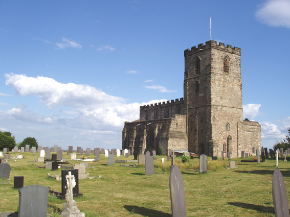
Worthington is renowned for its historic charm and tranquil atmosphere. The village boasts a rich heritage, with some buildings dating back to the 17th century. The local architecture is predominantly traditional, featuring delightful thatched cottages and stone houses. The well-preserved St. Matthew's Church, dating back to the 13th century, is a prominent landmark in the village.

Despite its small size, Worthington offers a range of amenities to its residents and visitors. The village is home to a local pub, The Halfway House, which is popular for its warm hospitality and traditional English fare. Additionally, Worthington has a village hall that hosts community events and activities throughout the year.

The surrounding countryside provides ample opportunities for outdoor pursuits, with several walking and cycling routes available. Nearby attractions include the National Forest, where visitors can explore beautiful woodlands and enjoy recreational activities such as wildlife spotting and picnicking.

In conclusion, Worthington, Leicestershire, is a charming village steeped in history and natural beauty. Its peaceful setting and close proximity to major transport links make it an ideal place for those seeking a tranquil retreat while still enjoying convenient access to larger towns and cities.

If you have any feedback on the listing, please let us know in the comments section below.
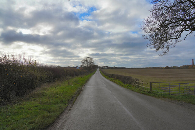
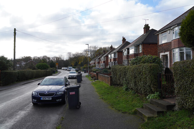
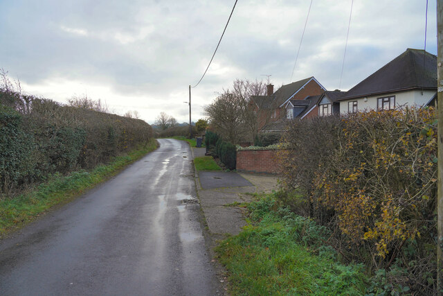
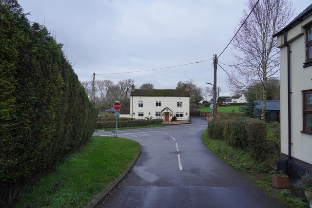
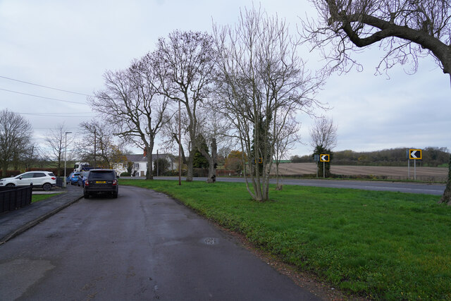
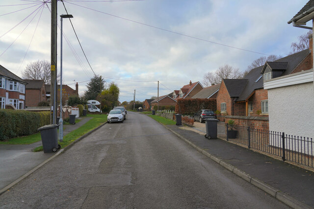
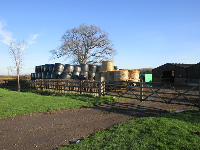
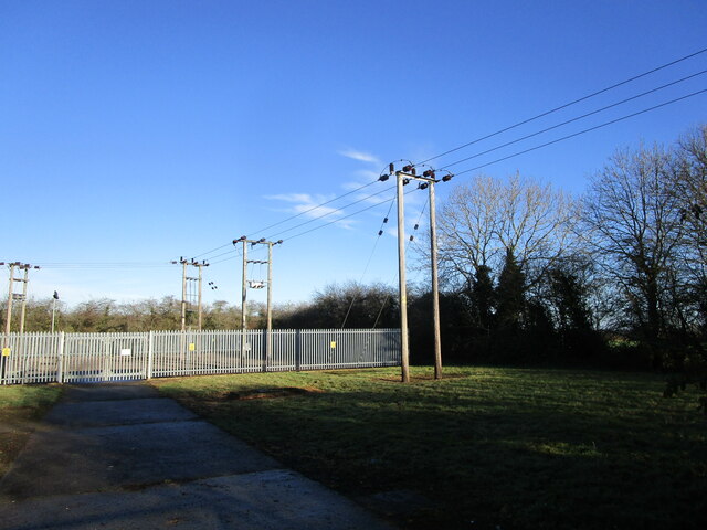
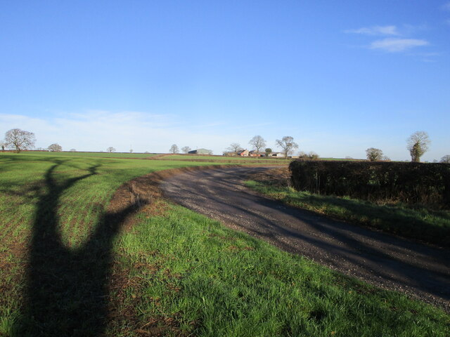
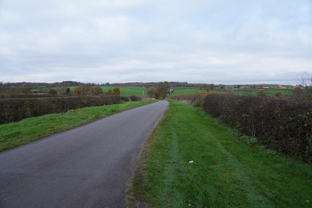
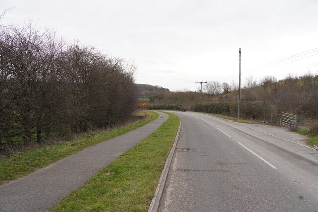
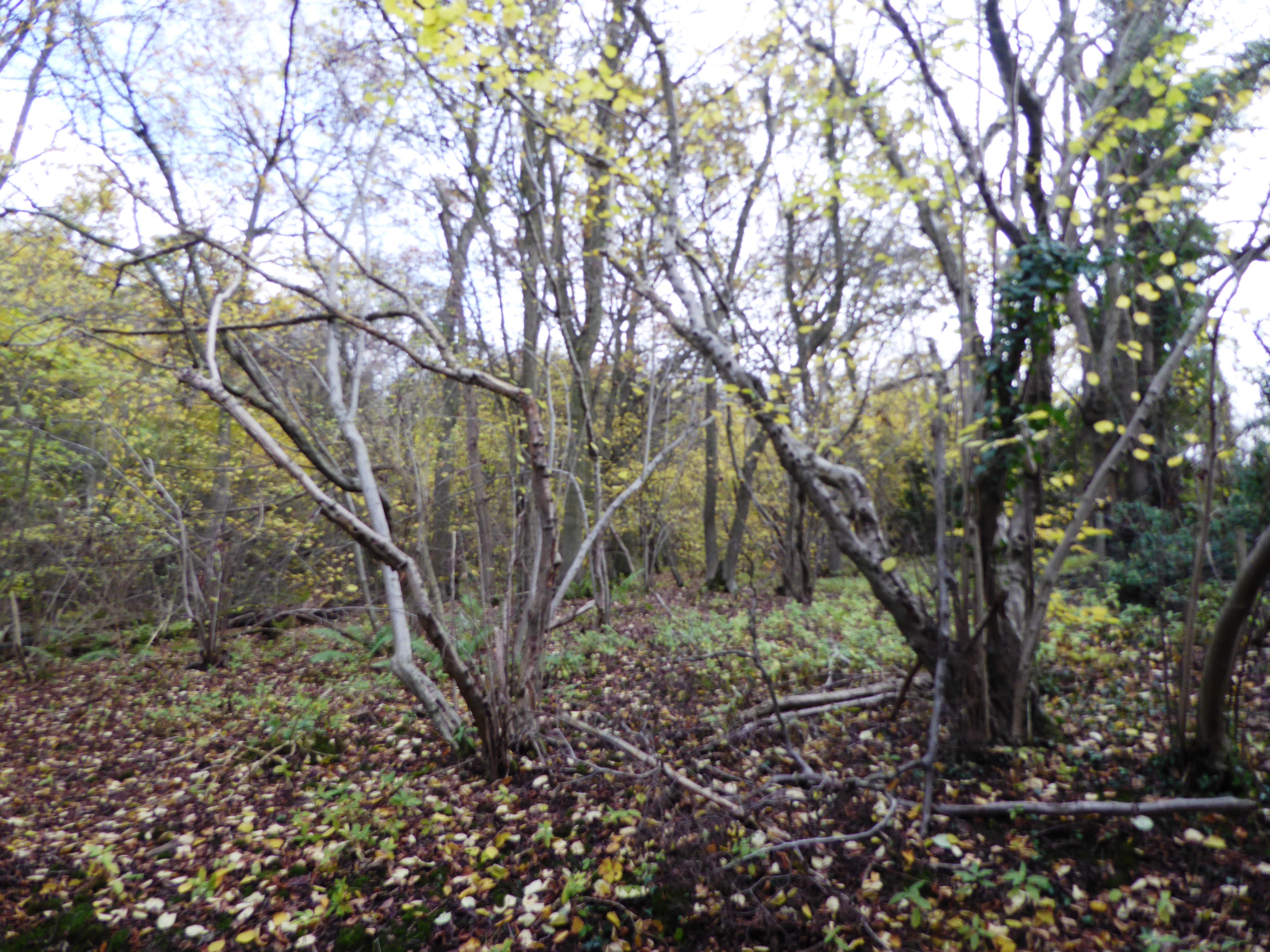
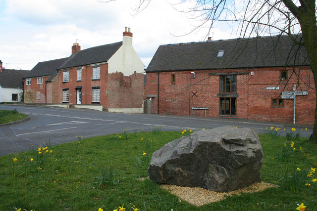
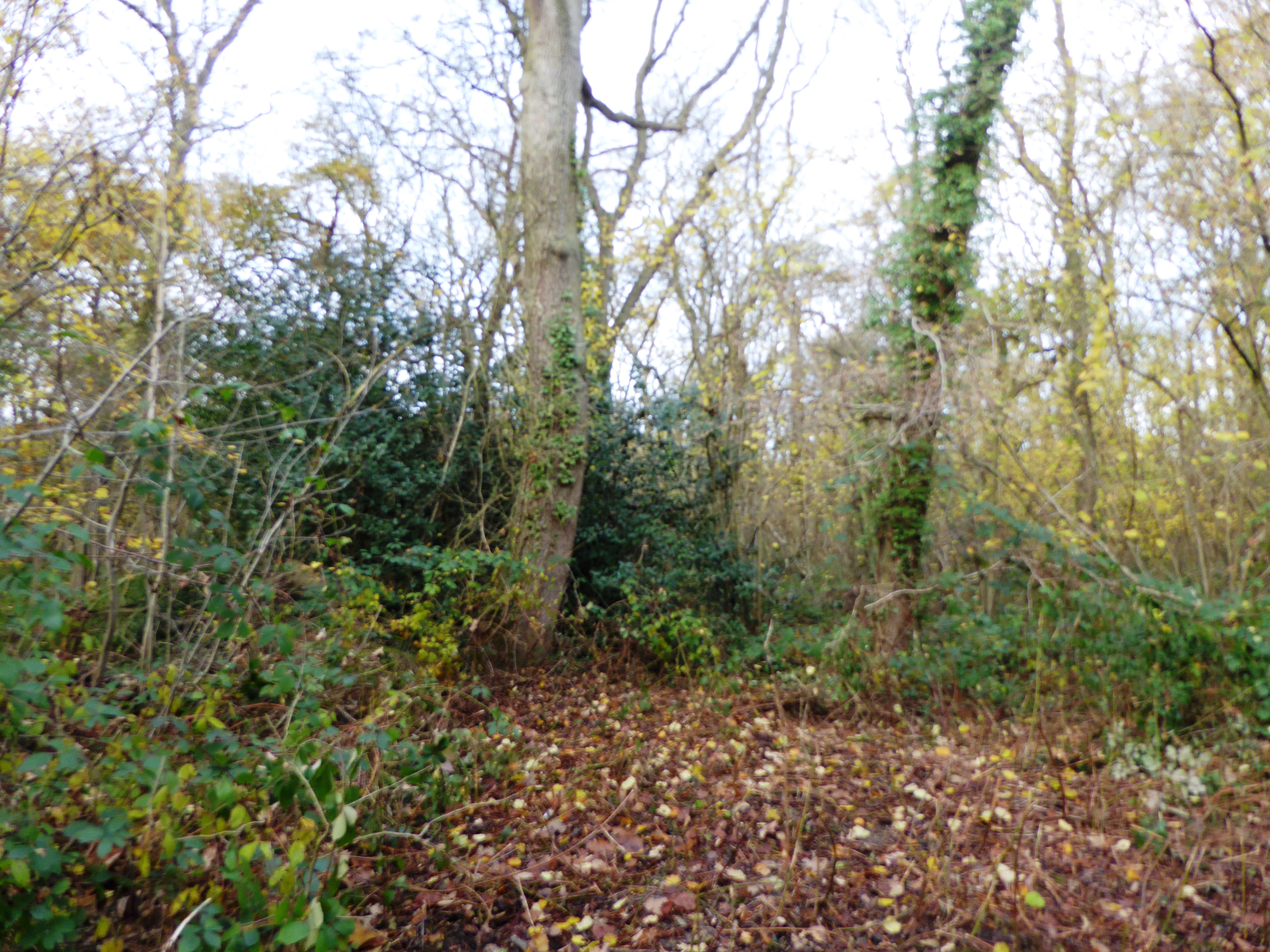
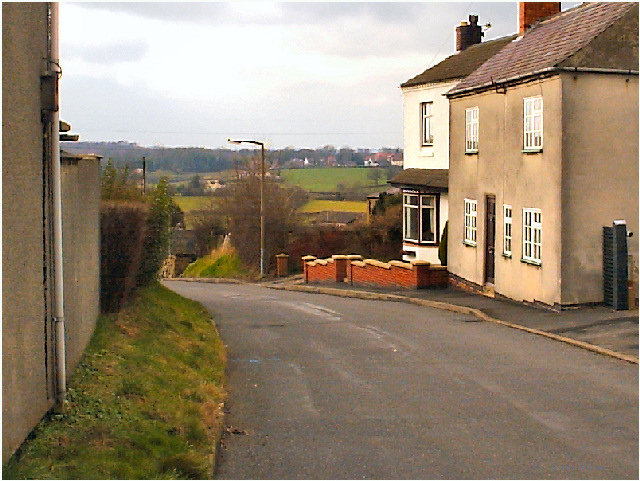
Worthington Images

Images are sourced within 2km of 52.781785/-1.3961466 or Grid Reference SK4020. Thanks to Geograph Open Source API. All images are credited.

Worthington Lane Looking along Worthington Lane with rich farmland on both sides of the road.
Worthington Lane
Looking along Worthington Lane with rich farmland on both sides of the road.
Newbold Village It is obviously the day for collecting rubbish in this village as all the dustbins are out awaiting emptying.
Newbold Village
It is obviously the day for collecting rubbish in this village as all the dustbins are out awaiting emptying.
Houses in Griffydam Griffydam strikes me as a very unusual name, but presumably it has some local relevance. These are houses towards the edge of the village.
Houses in Griffydam
Griffydam strikes me as a very unusual name, but presumably it has some local relevance. These are houses towards the edge of the village.
A road junction Looking from Top Road towards the junction, the road to the left is Rempstone Road, but to the right it has changed name to Ashby Road and opposite Top Road becomes Top Brand.
A road junction
Looking from Top Road towards the junction, the road to the left is Rempstone Road, but to the right it has changed name to Ashby Road and opposite Top Road becomes Top Brand.
Ashby Road The two visible road are both part of Ashby Road. the road with the parked car has a series of houses set back from the main Ashby Road allowing easier parking.
Ashby Road
The two visible road are both part of Ashby Road. the road with the parked car has a series of houses set back from the main Ashby Road allowing easier parking.
Ashby Road Another view of Newbold.
Ashby Road
Another view of Newbold.
Farmyard, Brandgate Farm
Autumn sown crop near Cloud Wood
Worthington primary substation
Track to Woodside Farm
Breedon Lane near Osgathorpe
Gate to a small garden near Greaveley Farm
Autumn sown field alongside Breedon Lane
Footpath and Pasture Wood A footpath to Belton crosses this field. A yellow post marking its route can be seen towards the right of the picture. Pasture Wood in the background.
Footpath and Pasture Wood
A footpath to Belton crosses this field. A yellow post marking its route can be seen towards the right of the picture. Pasture Wood in the background.
Breedon Lane and Breedon Brand Farm
Worthington primary substation
Breedon Lane Taken from the entrance to a small cemetery whilst looking along Breedon Lane.
Breedon Lane
Taken from the entrance to a small cemetery whilst looking along Breedon Lane.
Doctor's Lane Looking a little east of south along Doctor's Lane which connects Breedon on the Hill to a road called Top Brand.
Doctor's Lane
Looking a little east of south along Doctor's Lane which connects Breedon on the Hill to a road called Top Brand.
Show me another place!

Worthington is located at Grid Ref: SK4020 (Lat: 52.781785, Lng: -1.3961466)

Administrative County: Leicestershire

District: North West Leicestershire

Police Authority: Leicestershire

What 3 Words

///stove.saturate.roving. Near Melbourne, Derbyshire

Nearby Locations

Worthington

Related Wikis

Worthington, Leicestershire

Worthington is a village and civil parish in North West Leicestershire, England, about 4 miles (6.4 km) north of the town of Coalville and a similar distance...

Worthington railway station

Worthington railway station was a station at Worthington, Leicestershire, England. == History == The station opened on 1 October 1869 when the Midland...

Breedon Cloud Wood and Quarry

Breedon Cloud Wood and Quarry is a 63.3 hectares (156 acres) biological and geological Site of Special Scientific Interest north-east of Worthington in...

Newbold Coleorton

Newbold otherwise Newbold Coleorton is a large hamlet in the parish of Worthington, Leicestershire, England. It is situated in the North West Leicestershire...

Pasture and Asplin Woods

Pasture and Asplin Woods is a 40.9 hectares (101 acres) biological Site of Special Scientific Interest west of Belton in Leicestershire.These ancient woods...

Griffydam

Griffydam is a hamlet within the parish of Worthington, Leicestershire . == History == Griffydam is most famously associated with a chalybeate well, or...

Breedon on the Hill

Breedon on the Hill is a village and civil parish about 5 miles (8 km) north of Ashby-de-la-Zouch in North West Leicestershire, England. The parish adjoins...

Gelsmoor

Gelsmoor is a hamlet within the parish of Worthington in the English county of Leicestershire. It is noted for having a 'petrifying spring' in a nineteenth...

Nearby Amenities

Located within 500m of 52.781785,-1.3961466
Worthington
Is In Country: UK
Is In County: Leicestershire
Place: village
Wikidata: Q947697
Wikipedia: en:Worthington, Leicestershire
Lat/Long: 52.781203/-1.3964134
Bus Stop
Church
Bus: yes
Naptan AtcoCode: 260015804
Naptan Bearing: E
Naptan CommonName: Church
Naptan Indicator: outside
Naptan Landmark: Church
Naptan NaptanCode: leijgtda
Naptan Notes: Non-Hourly - County
Naptan Street: Church Street
Naptan Verified: no
Public Transport: platform
Source: naptan_import
Lat/Long: 52.7821508/-1.3984419
Church
Naptan AtcoCode: 260015806
Naptan Bearing: W
Naptan BusStopType: CUS
Naptan CommonName: Church
Naptan Indicator: opposite
Naptan Landmark: Church
Naptan NaptanCode: leijgtdj
Naptan Notes: Non-Hourly - County
Naptan Street: Church Street
Naptan Verified: no
Source: naptan_import
Lat/Long: 52.7820321/-1.3986889
Bus Stop
Main Street (The Farm House)
Bus: yes
Naptan AtcoCode: 260015810
Naptan Bearing: S
Naptan CommonName: Main Street (The Farm House)
Naptan Indicator: outside
Naptan Landmark: The Farm House
Naptan NaptanCode: leimajwm
Naptan Notes: Non-Hourly - County
Naptan Street: Main Street
Naptan Verified: no
Public Transport: platform
Source: naptan_import
Lat/Long: 52.7796598/-1.395371
Post Office
Worthington Store and Post Office
Addr Housenumber: 76
Addr Postcode: LE65 1SH
Addr Street: St. Matthew's Avenue
Fhrs Id: 858643
Ref Pol Id: 7608
Shop: convenience
Lat/Long: 52.7816426/-1.3971878
Pub
The Malt Shovel
Addr Housenumber: 29
Addr Postcode: LE65 1RQ
Addr Street: Main Street
Addr Village: Worthington
Fhrs Id: 1094515
Lat/Long: 52.7793138/-1.3950916
Post Box
Lat/Long: 52.7802174/-1.3953383
Power: tower
Lat/Long: 52.7831423/-1.4025803
Power: tower
Lat/Long: 52.7798392/-1.4007242
Turning Loop
Lat/Long: 52.782381/-1.3952948
Worthington
Historic Railway: station
Railway: site
Wikidata: Q16903716
Wikipedia: en:Worthington railway station
Lat/Long: 52.7851554/-1.3975411
Addr Housename: Station House
Lat/Long: 52.7846483/-1.3993621
The data included in this document is from www.openstreetmap.org. The data is made available under ODbL.

Have you been to Worthington?

Leave your review of Worthington below (or comments, questions and feedback).