Worthy

Settlement in Somerset Somerset West and Taunton

England

Worthy

Flock of Sheep on Exmoor A flock of sheep returned to a field after sorting lambs from ewes on a farm on Exmoor.
Flock of Sheep on Exmoor Credit: Kevin Pearson

Worthy is a small village located in the county of Somerset, England. Situated approximately 7 miles east of the town of Taunton, Worthy is part of the Taunton Deane district. This rural village is nestled in the picturesque countryside, surrounded by rolling hills and lush green fields.

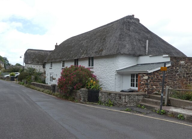
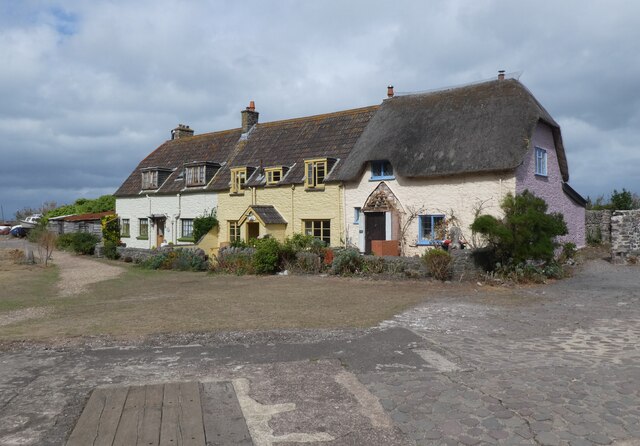
Worthy is a close-knit community with a population of around 500 residents. The village is known for its peaceful and idyllic setting, offering a serene escape from the hustle and bustle of city life. The charm of Worthy lies in its traditional architecture, with many historic buildings and thatched cottages adding to its character.

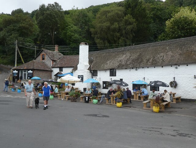
The village is home to a few amenities to serve its residents, including a parish church, a primary school, and a local pub. The church, dedicated to St. Lawrence, dates back to the 12th century and is a notable landmark in Worthy. The primary school provides education for children in the village and nearby areas.

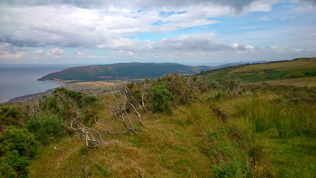
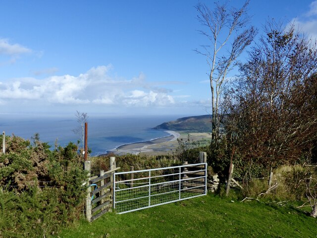
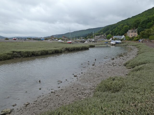
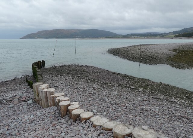
Surrounded by stunning natural beauty, Worthy offers an abundance of outdoor activities. The village is crisscrossed by footpaths and bridleways, making it an ideal location for walking, hiking, and cycling enthusiasts. The nearby Quantock Hills, designated as an Area of Outstanding Natural Beauty, provide breathtaking views and opportunities for exploration.

Overall, Worthy is a tranquil and charming village that showcases the beauty of rural Somerset. Its rich history, picturesque surroundings, and strong sense of community make it an attractive place to live or visit for those seeking a peaceful countryside retreat.

If you have any feedback on the listing, please let us know in the comments section below.

Worthy Images

Images are sourced within 2km of 51.219579/-3.6480533 or Grid Reference SS8548. Thanks to Geograph Open Source API. All images are credited.

Flock of Sheep on Exmoor A flock of sheep returned to a field after sorting lambs from ewes on a farm on Exmoor.
Flock of Sheep on Exmoor
A flock of sheep returned to a field after sorting lambs from ewes on a farm on Exmoor.
Porlock Weir Harbour The harbour at Porlock Weir, photographed from the Quay.
Porlock Weir Harbour
The harbour at Porlock Weir, photographed from the Quay.
View from Exmoor near Porlock A view from Exmoor close to the Whitstone Post, looking north west over the Bristol Channel.
View from Exmoor near Porlock
A view from Exmoor close to the Whitstone Post, looking north west over the Bristol Channel.
View north from car park on the A349 Rough ground. But further afield lies the Bristol Channel and the coast of South Wales.
View north from car park on the A349
Rough ground. But further afield lies the Bristol Channel and the coast of South Wales.
Distant Bossington Beach Bossington Beach is viewed from a field gate on New Road, just above Porlock. New Road is a toll road which is accessed at Pittcombe Head on the A39 and offers a more gentle descent into Porlock, rather than using the steep A39 Porlock Hill road. The fee was £3.00 for a car (one way). The road crosses moor and farm land which gradually gives way to a pretty wooded valley.
Distant Bossington Beach
Bossington Beach is viewed from a field gate on New Road, just above Porlock. New Road is a toll road which is accessed at Pittcombe Head on the A39 and offers a more gentle descent into Porlock, rather than using the steep A39 Porlock Hill road. The fee was £3.00 for a car (one way). The road crosses moor and farm land which gradually gives way to a pretty wooded valley.
Thatched cottage, Porlock Weir
The Bottom Ship, Porlock Weir
Porlock Weir Pilot Gig Club
'The Kiln',  Porlock Weir
'The Kiln', Porlock Weir
Lagoon, at Porlock Weir
Inner harbour, Porlock Weir
Harbour Master's office, Porlock Weir
Harbour mouth, Porlock Weir
Outer harbour, Porlock Weir
Cottages on the quay at Porlock Weir
Ordnance Survey Rivet This OS rivet can be found on the south stone of the Whitstones. It marks a point 400.877m above mean sea level.
Ordnance Survey Rivet
This OS rivet can be found on the south stone of the Whitstones. It marks a point 400.877m above mean sea level.
Luccombe : Exmoor Scenery Looking across towards the road and beyond to the Bristol Channel and South Wales coastline.
Luccombe : Exmoor Scenery
Looking across towards the road and beyond to the Bristol Channel and South Wales coastline.
Porlock : Countryside Scenery Looking across towards the lookout spot on the A39 and beyond to the South Wales coastline with Nash Point Lighthouse and windfarms across the Bristol Channel.
Porlock : Countryside Scenery
Looking across towards the lookout spot on the A39 and beyond to the South Wales coastline with Nash Point Lighthouse and windfarms across the Bristol Channel.
Show me another place!

Worthy is located at Grid Ref: SS8548 (Lat: 51.219579, Lng: -3.6480533)

Administrative County: Somerset

District: Somerset West and Taunton

Police Authority: Avon and Somerset

What 3 Words

///squirted.cooking.enjoy. Near Porlock, Somerset

Related Wikis

Culbone

Culbone (also called Kitnor) is a hamlet consisting of little more than the parish church and a few houses, in the parish of Oare in the Exmoor National...
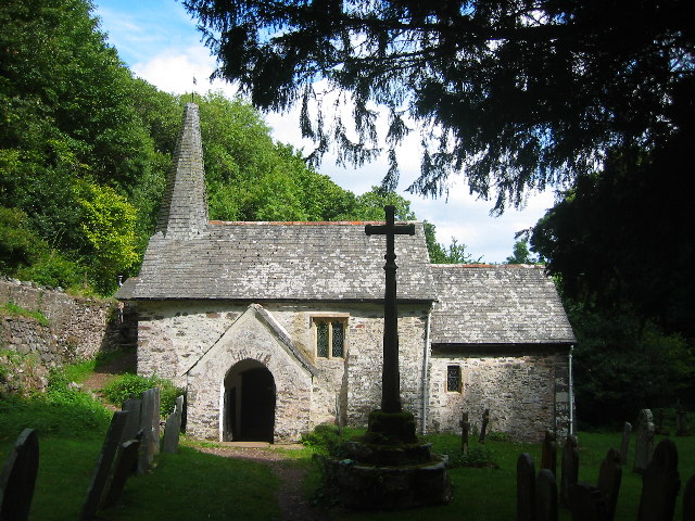
Culbone Church

Culbone Church, located in the village of Culbone in Somerset, is said to be the smallest parish church in England. The church, dedicated to the Welsh...
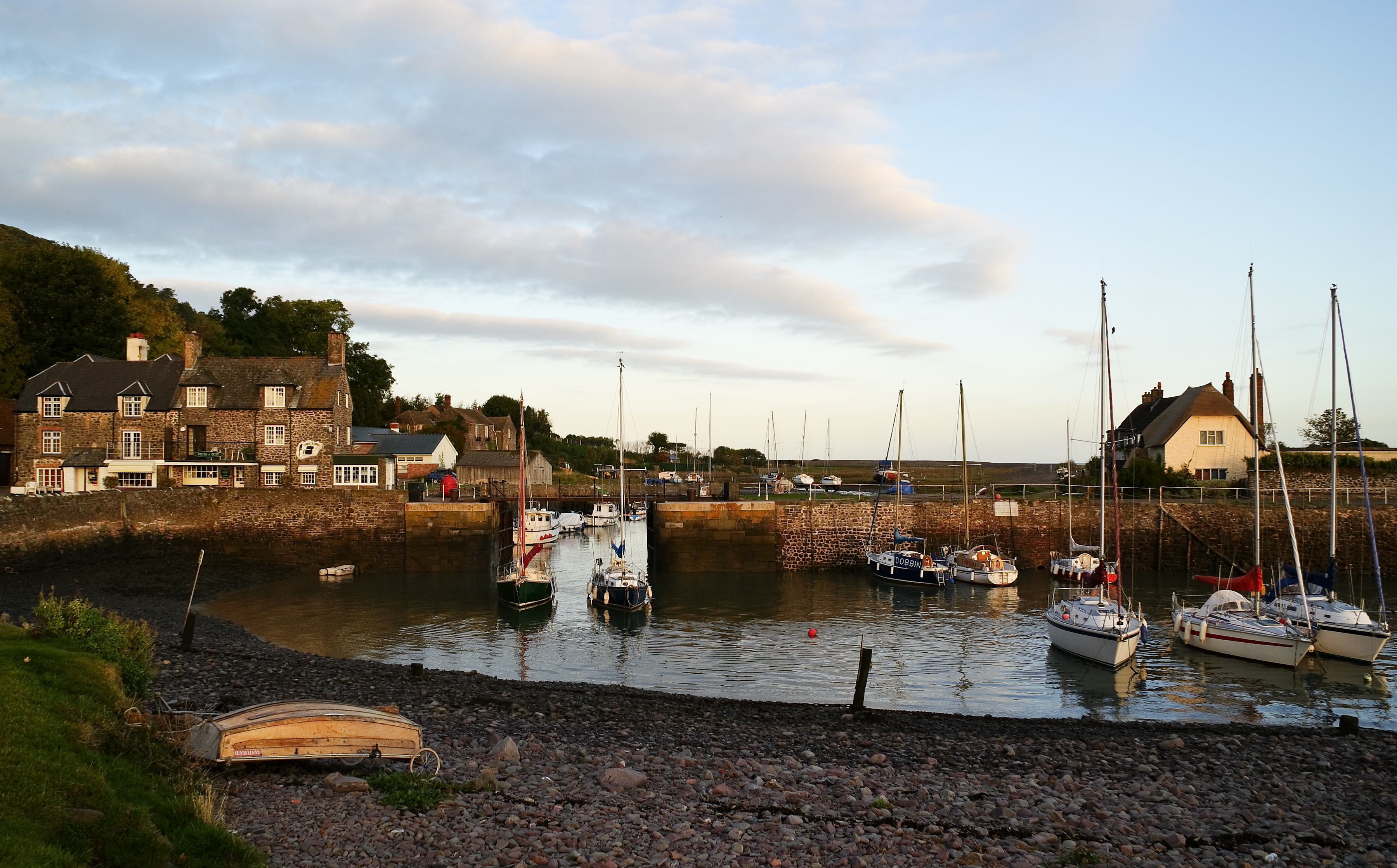
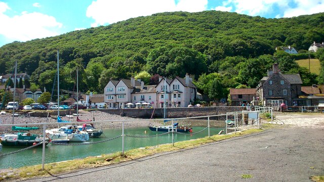
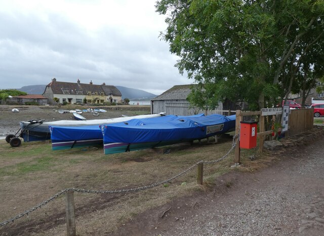
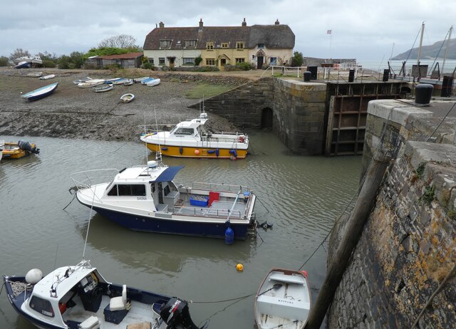
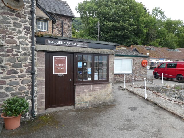
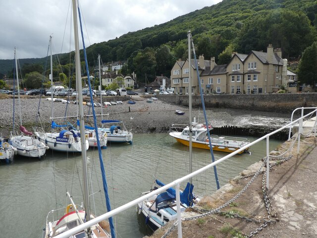
Porlock Weir

Porlock Weir is a harbour settlement approximately 1.5 miles (2.4 km) west of the inland village of Porlock, Somerset, England. "Porlock" comes from the...
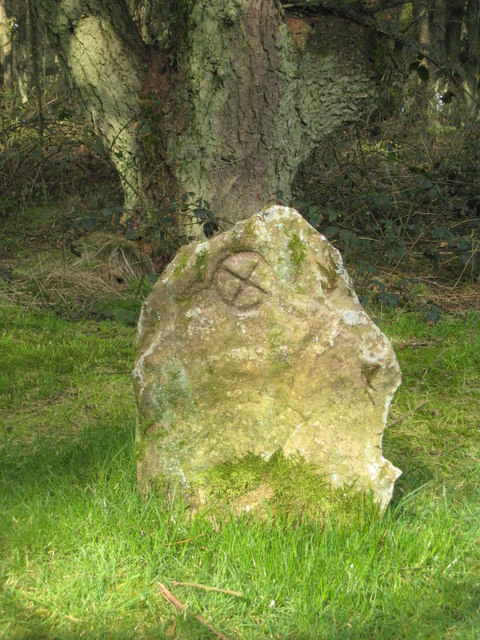
Culbone Stone

The Culbone Stone, an early mediaeval standing stone, is close to Culbone in the English county of Somerset. The stone is made from Hangman grit, a local...

Nearby Amenities

Located within 500m of 51.219579,-3.6480533
Bench
Lat/Long: 51.2217716/-3.6418663
Turning Circle
Lat/Long: 51.2169591/-3.6514393
Yearnor Wood
Place: locality
Lat/Long: 51.2212325/-3.6419324
Power: pole
Source: bing
Transformer: distribution
Lat/Long: 51.2172286/-3.6516881
Power: pole
Source: bing
Lat/Long: 51.2170405/-3.6530453
The data included in this document is from www.openstreetmap.org. The data is made available under ODbL.

Have you been to Worthy?

Leave your review of Worthy below (or comments, questions and feedback).