Brayswick
Settlement in Worcestershire Malvern Hills
England
Brayswick
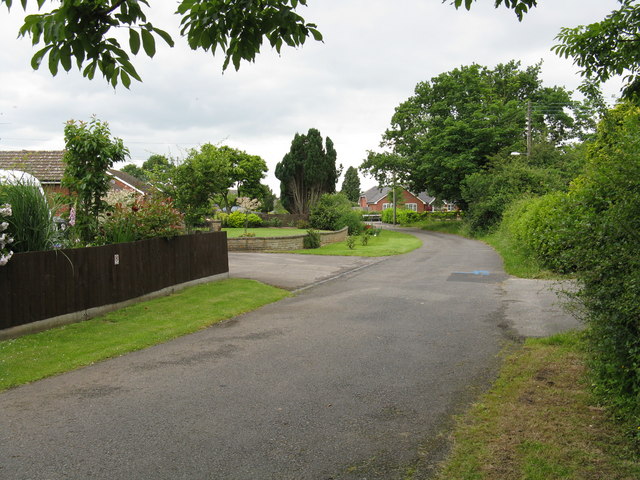
Brayswick is a picturesque village located in the county of Worcestershire, England. Situated on the banks of the River Avon, this charming settlement is renowned for its idyllic countryside surroundings and rich historical heritage. With a population of approximately 1,500 residents, Brayswick exudes a tranquil and close-knit community atmosphere.
The village is characterized by its stunning architecture, with many buildings dating back to the medieval period. The centerpiece of Brayswick is the St. Mary's Church, a beautiful structure that dominates the village skyline. Its striking spire and intricate stained glass windows attract both locals and tourists alike.
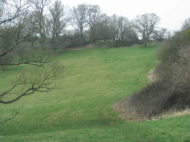
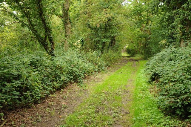
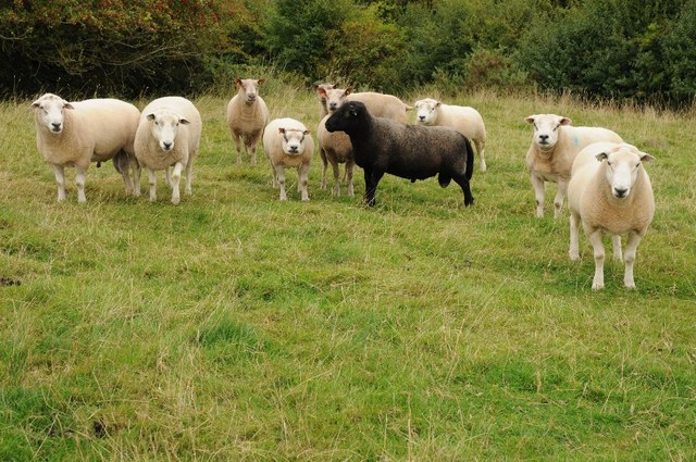
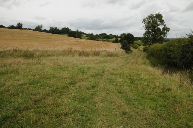
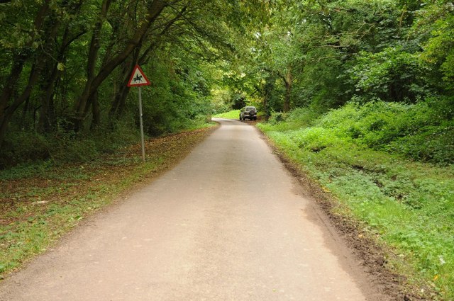
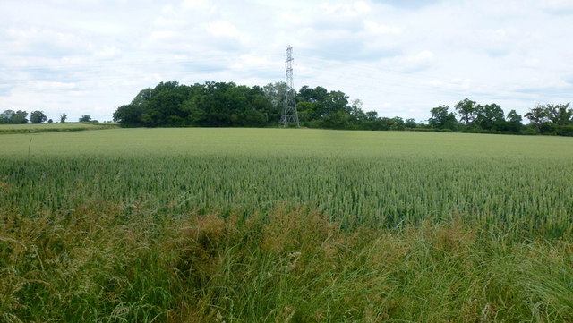
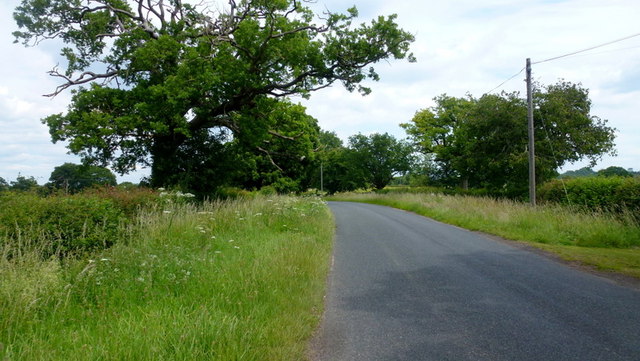
Nature enthusiasts are drawn to Brayswick for its abundant green spaces and scenic landscapes. The nearby Brayswick Woods offer a haven for wildlife and a peaceful retreat for hikers and nature lovers. The River Avon also provides opportunities for boating and fishing activities.
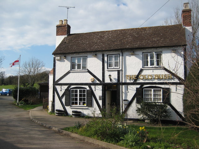
In terms of amenities, Brayswick boasts a handful of local businesses, including a village shop, post office, and a traditional pub serving hearty meals and locally brewed ales. The village also hosts an annual summer fair, which showcases local crafts, food stalls, and live entertainment.
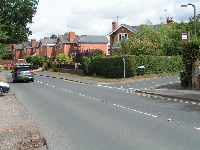
Brayswick's location is convenient for those who desire a balance between rural living and access to urban amenities. The nearby town of Worcester offers a wider range of services, including shopping centers, schools, and healthcare facilities.
Overall, Brayswick is a charming and peaceful village, perfect for those seeking a slower pace of life amidst the beauty of the Worcestershire countryside.
If you have any feedback on the listing, please let us know in the comments section below.
Brayswick Images
Images are sourced within 2km of 52.147066/-2.259373 or Grid Reference SO8249. Thanks to Geograph Open Source API. All images are credited.

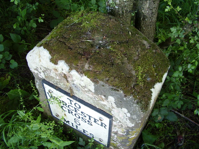
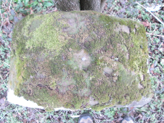
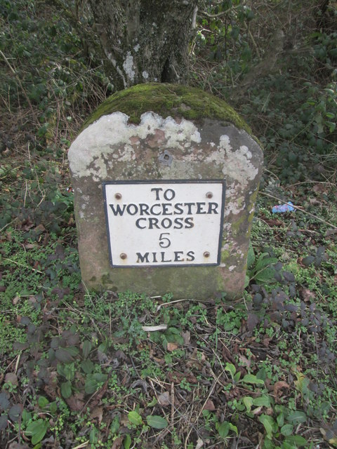
![Bench mark on milestone This milestone is a Grade II listed structure, and the depression on top is probably the remains of a "pivot" bench mark established in 1844 during the First primary levelling of England & Wales, which was levelled with a height of 60.1740 feet [18.3410 metres] above mean sea level (Liverpool datum). It was included on the Manchester to Gloucester levelling line. The surveyor's description was "No. 393. Mark on top of the 4th milestone from Worcester, and 6th from Upton-on-Severn ; 2.54 ft. above centre of road." (Public Abstract p.35)](https://s3.geograph.org.uk/geophotos/04/03/89/4038991_c3e0374f.jpg)


Brayswick is located at Grid Ref: SO8249 (Lat: 52.147066, Lng: -2.259373)
Administrative County: Worcestershire
District: Malvern Hills
Police Authority: West Mercia
What 3 Words
///genetics.crass.beginning. Near Kempsey, Worcestershire
Nearby Locations
Related Wikis
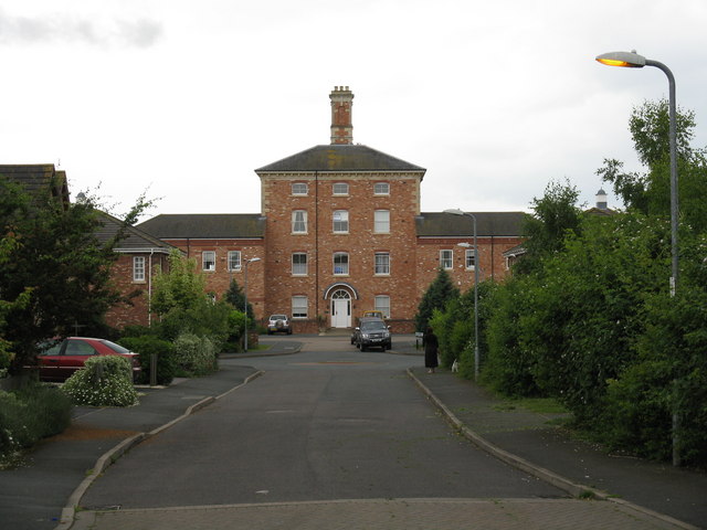
Powick Hospital
Powick Hospital, which opened in 1847 was a psychiatric facility located on 552 acres (223 ha) outside the village of Powick, near Malvern, Worcestershire...
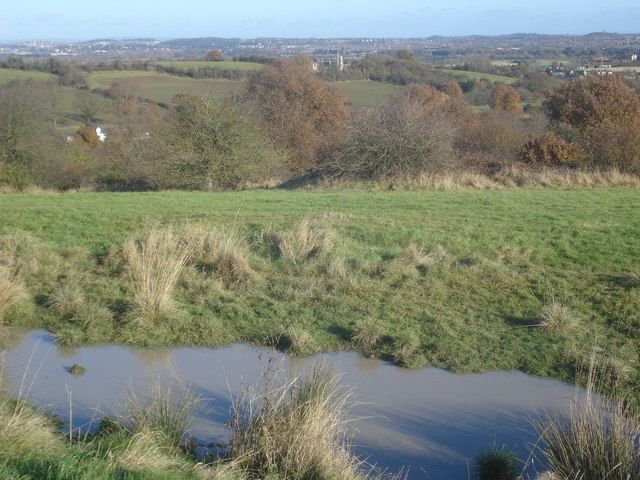
Old Hills
The Old Hills are an area of common land in Worcestershire, England. They are located around two miles to the east of Great Malvern and about a mile west...

Callow End
Callow End is a constituent village of the civil parish of Powick in the Malvern Hills District of Worcestershire, England. It is located on the B4424...
Bowling Green, Worcestershire
Bowling Green is a village in Worcestershire, England.

Powick
Powick is a village and civil parish in the Malvern Hills district of Worcestershire, England, located two miles south of the city of Worcester and four...
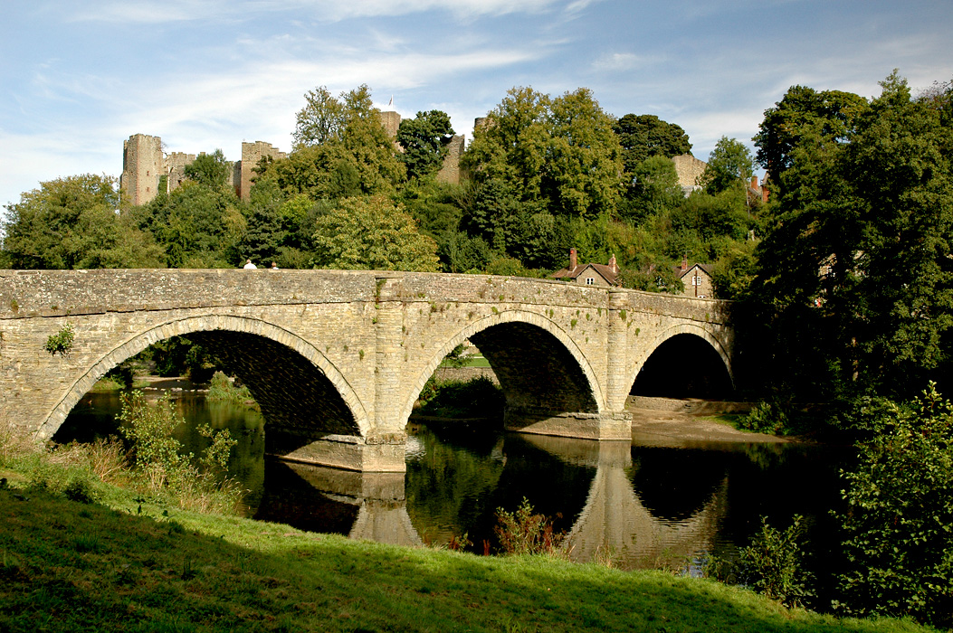
River Teme
The River Teme (pronounced ; Welsh: Afon Tefeidiad) rises in Mid Wales, south of Newtown, and flows southeast roughly forming the border between England...

Clevelode
Clevelode is a small village in Worcestershire, England. It is located around 5 miles south of Worcester just to the west of the River Severn. Clevelode...

West Worcestershire (UK Parliament constituency)
West Worcestershire is a constituency in Worcestershire represented in the House of Commons of the UK Parliament since 2010 by Harriett Baldwin, a Conservative...
Related Videos


Old Hills, Callow End, Worcester, Worcestershire, England 17th May 2020
Video & pictures of the Old Hills, Callow End, Worcester, Worcestershire, England Videoed on Sunday, 17th May 2020 © Mike ...
A 60 SECOND TOUR OF Abbey WORCESTERSHIRE UK,😀 😀😀😀
"A Day in the Life of Stanbrook Abbey WORCESTERSHIRE UK "HISTORY -NUNS AND A FIVE STAR HOTEL. The Stanbrook ...

*DAMAGED* Route 42 - LMS Travel YX17NYY
Any video theft or stealing my video will be reported Intro Music: Ikson-Anywhere Outro Music: Ikson-New Day Thank you for ...
Nearby Amenities
Located within 500m of 52.147066,-2.259373Have you been to Brayswick?
Leave your review of Brayswick below (or comments, questions and feedback).