Kent's Green

Settlement in Worcestershire Malvern Hills

England

Kent's Green

Grassy field on the Old Hills
Grassy field on the Old Hills Credit: Sarah Charlesworth

Kent's Green is a small village located in the county of Worcestershire, England. Situated in the picturesque countryside, it offers a peaceful and idyllic setting for residents and visitors alike. The village is nestled between the towns of Kidderminster and Stourport-on-Severn, providing easy access to amenities and services.

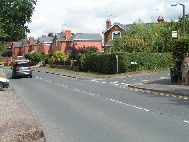
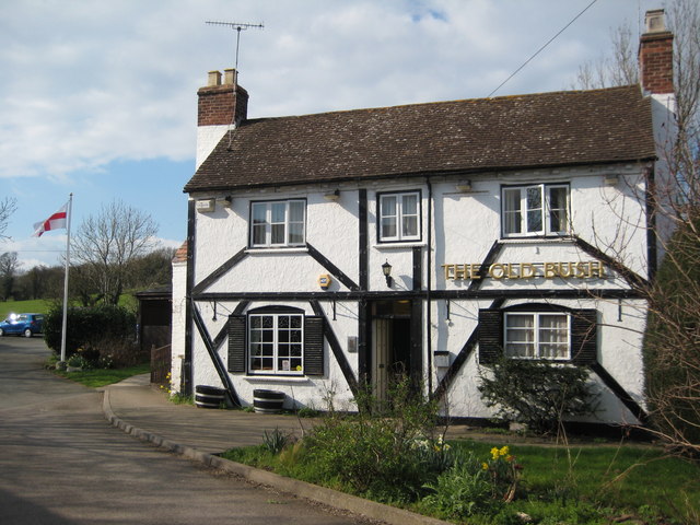
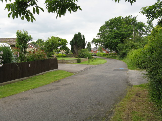
Kent's Green is known for its charming rural character, with a mix of traditional cottages and modern houses dotting the landscape. The village boasts a strong sense of community, with friendly locals and a range of community events throughout the year. The village green, a central focal point, is a popular gathering spot for residents, providing a place for socializing and recreational activities.

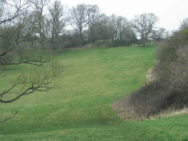
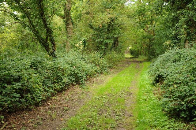
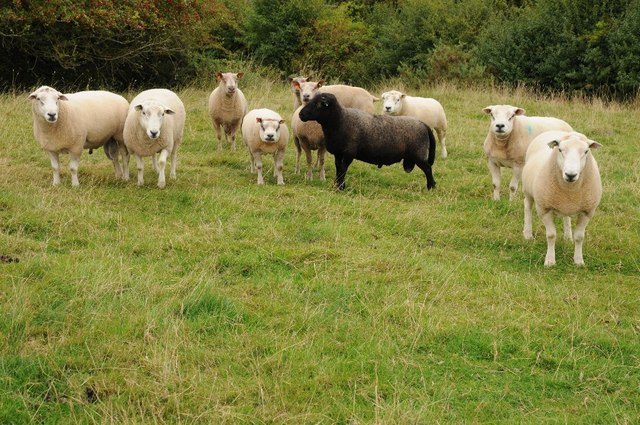
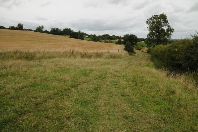
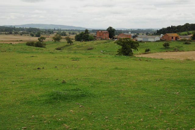
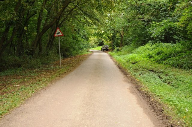
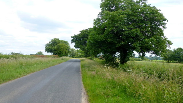
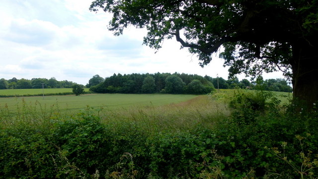
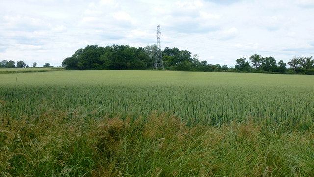
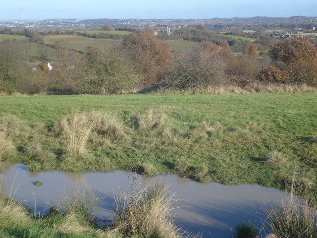
Nature enthusiasts will appreciate Kent's Green's proximity to beautiful countryside and outdoor spaces. The village is surrounded by rolling hills, meandering rivers, and lush green fields, making it an ideal location for hiking, cycling, and exploring the great outdoors. The nearby Wyre Forest is a haven for wildlife and offers various trails and paths for nature lovers to enjoy.

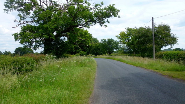
Although predominantly a residential area, Kent's Green benefits from its close proximity to larger towns. Residents have access to a range of amenities, including shops, schools, and healthcare facilities. The village is also well-connected by road, with easy access to major transport links, making it convenient for commuters.

In summary, Kent's Green offers a peaceful and picturesque village setting with a strong sense of community. Surrounded by stunning countryside, it provides residents with a tranquil lifestyle while still benefiting from nearby amenities and transport connections.

If you have any feedback on the listing, please let us know in the comments section below.

Kent's Green Images

Images are sourced within 2km of 52.146986/-2.2547208 or Grid Reference SO8249. Thanks to Geograph Open Source API. All images are credited.
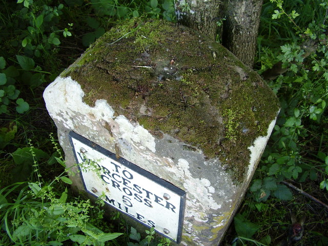
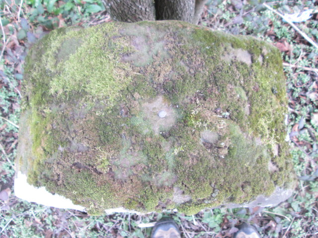
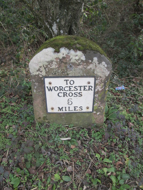
Grassy field on the Old Hills
B4424 passing through Callow End
The Old Bush, Callow End Public house set back from the B4424 as it passes through the village of Callow End.
The Old Bush, Callow End
Public house set back from the B4424 as it passes through the village of Callow End.
The Severn and the Malverns
Bench mark on milestone This milestone is a Grade II listed structure, and the depression on top is probably the remains of a "pivot" bench mark established in 1844 during the First primary levelling of England & Wales, which was levelled with a height of 60.1740 feet [18.3410 metres] above mean sea level (Liverpool datum). It was included on the Manchester to Gloucester levelling line. The surveyor's description was "No. 393. Mark on top of the 4th milestone from Worcester, and 6th from Upton-on-Severn ; 2.54 ft. above centre of road." (Public Abstract p.35)
Bench mark on milestone
This milestone is a Grade II listed structure, and the depression on top is probably the remains of a "pivot" bench mark established in 1844 during the First primary levelling of England & Wales, which was levelled with a height of 60.1740 feet [18.3410 metres] above mean sea level (Liverpool datum). It was included on the Manchester to Gloucester levelling line. The surveyor's description was "No. 393. Mark on top of the 4th milestone from Worcester, and 6th from Upton-on-Severn ; 2.54 ft. above centre of road." (Public Abstract p.35)
OS bench mark on milestone This milestone is a Grade II listed structure, and the rivet on top was formerly an Ordnance Survey bench mark. A bench mark was originally established on this stone in 1844 during the First primary levelling of England & Wales, and levelled with a height of 124.008 feet above mean sea level (Liverpool datum). It was included on the Manchester to Gloucester levelling line. The surveyor's description was "No. 395. Mark on 5th milestone from Worcester ; 1.85 ft. above centre of road." (Public Abstract p.35)
OS bench mark on milestone
This milestone is a Grade II listed structure, and the rivet on top was formerly an Ordnance Survey bench mark. A bench mark was originally established on this stone in 1844 during the First primary levelling of England & Wales, and levelled with a height of 124.008 feet above mean sea level (Liverpool datum). It was included on the Manchester to Gloucester levelling line. The surveyor's description was "No. 395. Mark on 5th milestone from Worcester ; 1.85 ft. above centre of road." (Public Abstract p.35)
Woodland path near Saint Cloud Woodland path near Saint Cloud, south of Callow End.
Woodland path near Saint Cloud
Woodland path near Saint Cloud, south of Callow End.
A handsome bunch A flock of rams, mainly Texells, awaiting this autumn's serving the ewes.
A handsome bunch
A flock of rams, mainly Texells, awaiting this autumn's serving the ewes.
Footpath near Saint Cloud A footpath follows this narrow field below Saint Cloud near Callow End.
Footpath near Saint Cloud
A footpath follows this narrow field below Saint Cloud near Callow End.
Pixham Farm View to Pixham Farm with the flood plain of the River Severn beyond and Bredon Hill on the horizon.
Pixham Farm
View to Pixham Farm with the flood plain of the River Severn beyond and Bredon Hill on the horizon.
Pixham Ferry Lane Pixham Ferry Lane near Callow End.  As the name suggests it leads to a ferry, though the ferry no longer operates.
Pixham Ferry Lane
Pixham Ferry Lane near Callow End. As the name suggests it leads to a ferry, though the ferry no longer operates.
Ordnance Survey Rivet This OS rivet can be found on the milestone on the east side of the road. It marks a point 37.7976m above mean sea level. <a title="https://www.geograph.org.uk/photo/4375078" href="https://www.geograph.org.uk/photo/4375078">Link</a>
Ordnance Survey Rivet
This OS rivet can be found on the milestone on the east side of the road. It marks a point 37.7976m above mean sea level. Link
Milestone - Worcester Cross 5 There is an Ordnance Survey rivet on the top. <a title="https://www.geograph.org.uk/photo/4375068" href="https://www.geograph.org.uk/photo/4375068">Link</a>
Milestone - Worcester Cross 5
There is an Ordnance Survey rivet on the top. Link
Jennett Tree Lane The road from Madresfield to Callow winds through pleasant Worcestershire countryside.
Jennett Tree Lane
The road from Madresfield to Callow winds through pleasant Worcestershire countryside.
Woodsfield; fields and woods Countryside south of Jennett Tree Lane.
Woodsfield; fields and woods
Countryside south of Jennett Tree Lane.
Non-existent path off Jennett Tree Lane The path should cross this arable field to the wood in the distance but there is no sign of foot passage; presumably the few folks who have tried this recently have turned right and used the headland.
Non-existent path off Jennett Tree Lane
The path should cross this arable field to the wood in the distance but there is no sign of foot passage; presumably the few folks who have tried this recently have turned right and used the headland.
Footpath sign Indicating a public path that no-one seems to want to use; see <a href="https://www.geograph.org.uk/photo/4540716">SO8149 : Non-existent path off Jennett Tree Lane</a>.
Footpath sign
Indicating a public path that no-one seems to want to use; see SO8149 : Non-existent path off Jennett Tree Lane.
Jennett Tree Lane Heading towards Deblin's Green and Callow.
Jennett Tree Lane
Heading towards Deblin's Green and Callow.
Show me another place!

Kent's Green is located at Grid Ref: SO8249 (Lat: 52.146986, Lng: -2.2547208)

Administrative County: Worcestershire

District: Malvern Hills

Police Authority: West Merica

What 3 Words

///unhappy.decimals.culling. Near Kempsey, Worcestershire

Related Wikis

Callow End

Callow End is a constituent village of the civil parish of Powick in the Malvern Hills District of Worcestershire, England. It is located on the B4424...

Powick Hospital

Powick Hospital, which opened in 1847 was a psychiatric facility located on 552 acres (223 ha) outside the village of Powick, near Malvern, Worcestershire...

Old Hills

The Old Hills are an area of common land in Worcestershire, England. They are located around two miles to the east of Great Malvern and about a mile west...

Bowling Green, Worcestershire

Bowling Green is a village in Worcestershire, England.

Powick

Powick is a village and civil parish in the Malvern Hills district of Worcestershire, England, located two miles south of the city of Worcester and four...

River Teme

The River Teme (pronounced ; Welsh: Afon Tefeidiad) rises in Mid Wales, south of Newtown, and flows southeast roughly forming the border between England...

Clevelode

Clevelode is a small village in Worcestershire, England. It is located around 5 miles south of Worcester just to the west of the River Severn. Clevelode...

Kempsey, Worcestershire

Kempsey is a village and civil parish in the Malvern Hills District in the county of Worcestershire, England. It is bounded by the River Severn on the...

Nearby Amenities

Located within 500m of 52.146986,-2.2547208
The Court
Naptan AtcoCode: 2000G022354
Naptan Bearing: NE
Naptan BusStopType: CUS
Naptan CommonName: The Court
Naptan Indicator: Opp
Naptan Landmark: The Court Mews
Naptan NaptanCode: wocgpdwp
Naptan Street: Jennet Tree Lane
Naptan Verified: no
Source: naptan_import
Lat/Long: 52.1467431/-2.2555758
Barrier: stile
Foot: yes
Lat/Long: 52.1460048/-2.248911
Barrier: stile
Foot: yes
Lat/Long: 52.143835/-2.2579385
Barrier: stile
Foot: yes
Lat/Long: 52.143998/-2.2547951
Barrier: stile
Foot: yes
Lat/Long: 52.143833/-2.2555959
Power: tower
Lat/Long: 52.1504713/-2.2561738
Power: tower
Lat/Long: 52.1495348/-2.2607258
Barrier: stile
Foot: yes
Lat/Long: 52.146709/-2.2557166
Barrier: stile
Foot: yes
Lat/Long: 52.1511445/-2.2522887
Barrier: kissing_gate
Foot: yes
Lat/Long: 52.1479434/-2.2551789
Barrier: stile
Foot: yes
Lat/Long: 52.1467543/-2.2555533
Barrier: stile
Foot: yes
Lat/Long: 52.1438722/-2.2507622
Barrier: stile
Foot: yes
Lat/Long: 52.1449182/-2.2520175
Barrier: stile
Foot: yes
Lat/Long: 52.1437518/-2.2506174
Disused
Description: This seems to be the WR2 4 box, but it's clearly been disused, cobwebbed, ivy-covered for >20 years, so WOE is it doing on the FOI list for 2009 ?
Disused: post_box
Royal Cypher: VR
Lat/Long: 52.1470173/-2.2546303
Fixme: continue
Lat/Long: 52.1466978/-2.2545387
Kent's Green
Place: hamlet
Source Name: OS_OpenData_StreetView
Lat/Long: 52.1466554/-2.2556475
Location Transition: yes
Power: pole
Lat/Long: 52.1454978/-2.2519505
Power: pole
Lat/Long: 52.145571/-2.2531334
Kent Green Court
Power: pole
Transformer: distribution
Voltage Primary: 11000
Lat/Long: 52.1459381/-2.2538281
Power: pole
Lat/Long: 52.1464549/-2.2544369
The Court
Power: pole
Transformer: distribution
Voltage Primary: 11000
Lat/Long: 52.146882/-2.2549345
Power: pole
Lat/Long: 52.1476399/-2.2538066
Power: pole
Lat/Long: 52.1470079/-2.2577521
Power: pole
Lat/Long: 52.1473042/-2.2553086
Power: pole
Lat/Long: 52.1471527/-2.2565988
Location Transition: yes
Power: pole
Lat/Long: 52.1509447/-2.2564137
Location Transition: yes
Power: pole
Lat/Long: 52.1508073/-2.2576864
Power: pole
Lat/Long: 52.1497022/-2.2555581
Park Cottage
Power: pole
Transformer: distribution
Voltage Primary: 11000
Lat/Long: 52.1490801/-2.2544155
Power: pole
Lat/Long: 52.1485155/-2.2533587
Power: pole
Lat/Long: 52.147979/-2.2523314
Kwnts Green
Location Transition: yes
Power: pole
Transformer: distribution
Voltage Primary: 11000
Lat/Long: 52.1472581/-2.2491422
Kwnts Green Court Lodge
Power: pole
Transformer: distribution
Voltage Primary: 11000
Lat/Long: 52.1474967/-2.2514194
Power: pole
Lat/Long: 52.1471659/-2.2498906
Power: pole
Lat/Long: 52.1470886/-2.2506791
Power: pole
Lat/Long: 52.1465026/-2.2495419
Power: pole
Lat/Long: 52.1459167/-2.2484127
Brayswick Bridge
Power: pole
Transformer: distribution
Voltage Primary: 11000
Lat/Long: 52.1468133/-2.2614321
Power: pole
Voltage: 11000
Lat/Long: 52.1468836/-2.2601239
Power: pole
Lat/Long: 52.1469071/-2.258591
Power: pole
Lat/Long: 52.1503021/-2.2567101
The data included in this document is from www.openstreetmap.org. The data is made available under ODbL.

Have you been to Kent's Green?

Leave your review of Kent's Green below (or comments, questions and feedback).