Braughing
Settlement in Hertfordshire East Hertfordshire
England
Braughing

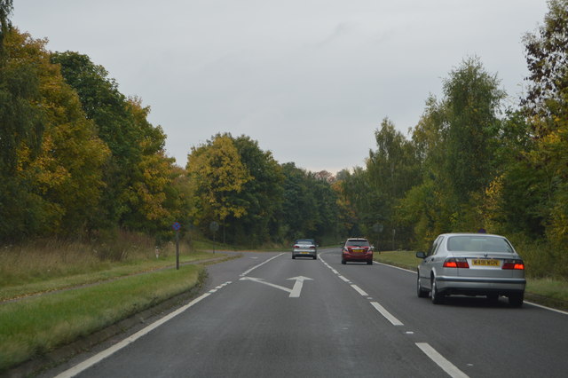
Braughing is a small village located in the county of Hertfordshire, England. Situated about 30 miles north of London, it falls within the East Hertfordshire district. The village is surrounded by picturesque countryside and is known for its tranquility and rural charm.
With a history dating back to Roman times, Braughing has a rich heritage. Evidence of its past can be seen through the remains of a Roman villa discovered in the nearby area. The village itself is characterized by its traditional architecture, including a number of historic timber-framed buildings.
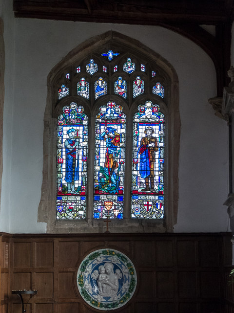
One of the prominent landmarks in Braughing is the St. Mary the Virgin Church, which dates back to the 12th century. This medieval church is a prominent feature in the village and serves as a reminder of its long-standing history.
Despite its small size, Braughing boasts a strong sense of community. Residents take pride in their village and actively participate in various community events and activities. The annual Braughing village festival is a popular event that brings the community together, featuring live music, food stalls, and traditional games.
The village is also home to a selection of amenities, including a primary school, a village hall, and a pub. The surrounding countryside offers plenty of opportunities for outdoor activities such as walking, cycling, and horse riding.
Overall, Braughing offers a peaceful and idyllic setting, making it an attractive place to live for those seeking a rural lifestyle within easy reach of London and other nearby towns.
If you have any feedback on the listing, please let us know in the comments section below.
Braughing Images
Images are sourced within 2km of 51.906443/0.026671 or Grid Reference TL3925. Thanks to Geograph Open Source API. All images are credited.


Braughing is located at Grid Ref: TL3925 (Lat: 51.906443, Lng: 0.026671)
Administrative County: Hertfordshire
District: East Hertfordshire
Police Authority: Hertfordshire
What 3 Words
///musically.trickle.beauty. Near Puckeridge, Hertfordshire
Nearby Locations
Related Wikis

Braughing
Braughing is a village and civil parish, between the rivers Quin and Rib, in the non-metropolitan district of East Hertfordshire, part of the English...
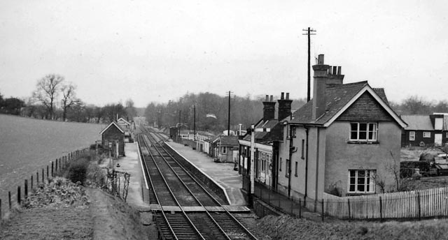
Braughing railway station
Braughing railway station served the village of Braughing, Hertfordshire, England, from 1863 to 1964 on the Buntingford branch line. == History == The...

Braughing (Roman town)
Braughing was a small town in the Roman province of Britannia. Its name in Latin is unknown. == Location == Today the site is partially occupied by the...
Bozen Green
Bozen Green is a hamlet in Hertfordshire, England. It includes the lost settlement of Bordesden. It is in the civil parish of Braughing

Puckeridge
Puckeridge is a village in East Hertfordshire, England with a population of 3,561 (2011 Census). It is in the civil parish of Standon. == History == The...

East Hertfordshire
East Hertfordshire is one of ten local government districts in Hertfordshire, England. Its council is based in Hertford, the county town of Hertfordshire...
Braughing Friars
Braughing Friars is a hamlet in Hertfordshire, England. It is in the civil parish of Braughing. == External links == Media related to Braughing Friars...
Dassels
Dassels is a hamlet in the district of East Hertfordshire, in the county of Hertfordshire. Nearby settlements include the town of Ware and the village...
Related Videos
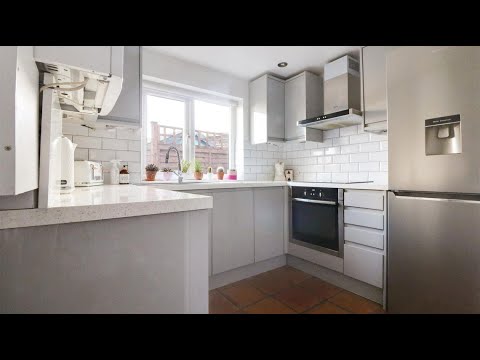
Video Walkthrough: High Street, Puckeridge - 2 bedroom character cottage
A CHARACTER 2 bedroom property centrally located in Puckeridge conservation high street, with excellent amenities within ...

Freddie and Dolly 10k walk to the Braughing Bone
A gorgeous 10k Spring time dog walk, mostly filmed on GoPro Hero 10, with additional footage captured on GoPro Hero 8.
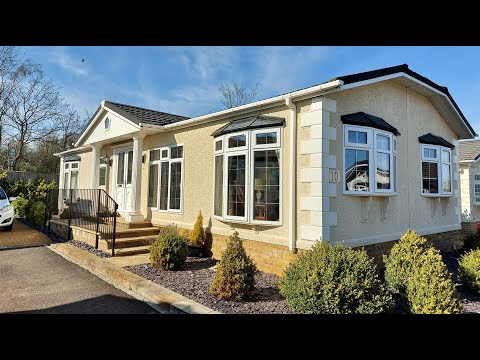
Video Walkthrough: Tollworth Way, Puckeridge, Herts - 2 Bedroom detached luxury park home
We are delighted to offer this immaculate 2 bedroom 46' x 20' Stately Albion 'Platinum Contemporary' detached park home on this ...
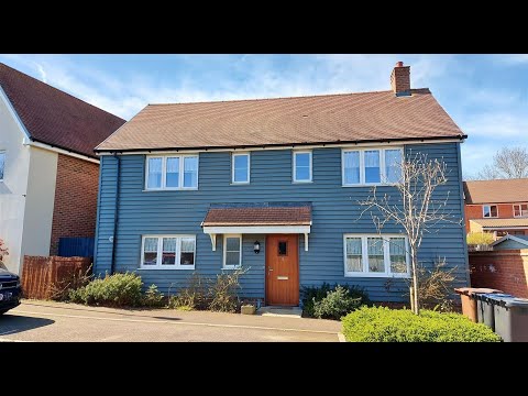
Video Walkthrough: Clements Close, Puckeridge, Herts - 4 bedroom detached house
A rare opportunity to purchase or rent a super 4 bedroom DETACHED HOUSE on this popular village development, within ...
Nearby Amenities
Located within 500m of 51.906443,0.026671Have you been to Braughing?
Leave your review of Braughing below (or comments, questions and feedback).