Braughing Friars

Settlement in Hertfordshire East Hertfordshire

England

Braughing Friars

Froghall Lane, Broken Green
Froghall Lane, Broken Green Credit: David Howard

Braughing Friars is a small village located in the county of Hertfordshire, England. Situated about 30 miles north of London, it falls within the East Hertfordshire district. The village is nestled in the picturesque countryside, surrounded by lush green fields and rolling hills.

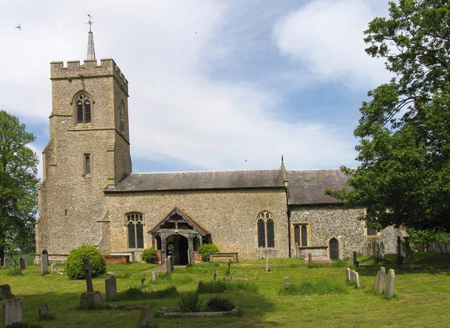
Braughing Friars is known for its rich history, dating back to Roman times. Evidence of Roman settlements and artifacts have been discovered in the area, highlighting its significance in the region's past. The village is also home to St. Mary's Church, a beautiful medieval building that serves as a focal point for the community.

The village itself is a charming and peaceful place, with a close-knit community. It has a range of amenities, including a local pub, a primary school, and a village hall that hosts various events and gatherings throughout the year. The pub, known as The Brown Bear, is a popular spot for locals and visitors alike, offering a warm and friendly atmosphere.

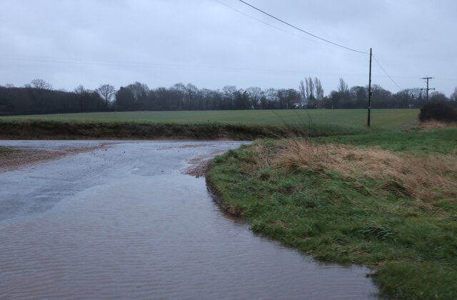
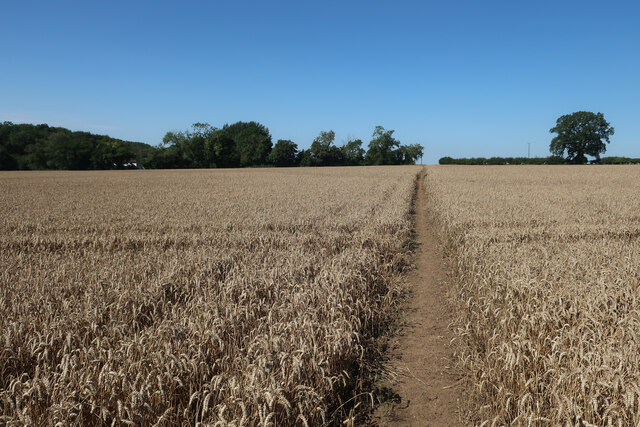
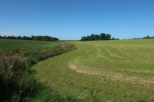
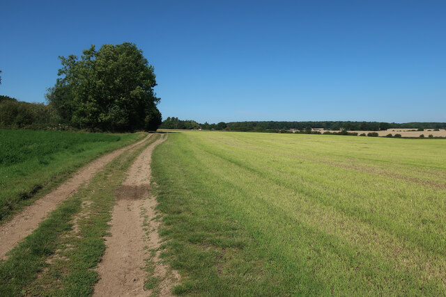
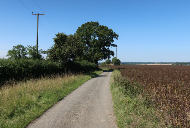
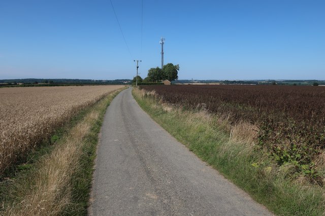
Surrounding Braughing Friars, the countryside provides ample opportunities for outdoor activities such as hiking, cycling, and exploring the nearby nature reserves. The village is also well-connected, with easy access to major roads and transportation links, making it convenient for commuters and visitors to explore the wider region.

Overall, Braughing Friars is a picturesque and historically rich village, offering a peaceful and idyllic setting for residents and visitors to enjoy the beauty of the English countryside.

If you have any feedback on the listing, please let us know in the comments section below.

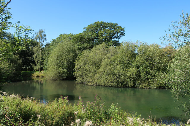
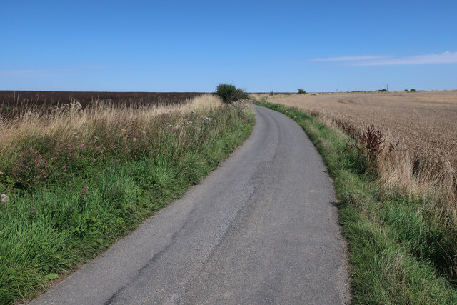
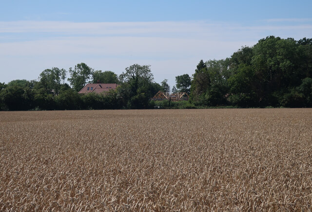
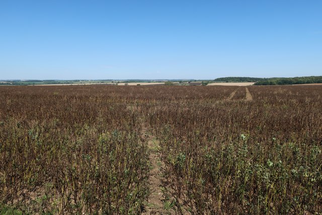
Braughing Friars Images

Images are sourced within 2km of 51.900241/0.059621 or Grid Reference TL4124. Thanks to Geograph Open Source API. All images are credited.

Froghall Lane, Broken Green
Fields by Friars Road
Path through the wheat Somewhat straighter than the mapped route.
Path through the wheat
Somewhat straighter than the mapped route.
Footpath to Braughing Friars
Ripe wheat field near Windcott
Fields near Albury Hall
Bridleway through Barley Taking the sensible straight route rather the mapped one.
Bridleway through Barley
Taking the sensible straight route rather the mapped one.
Hertfordshire Way to Kitchers
Kitchers Pond
Kitchers Pond
Hertfordshire Way towards Windcott
Hertfordshire Way along Friars Road
Wheat field by Flowerlands
Field near Cockhamstead
Hertfordshire Way towards Windcott
Power lines near Windcott
Hertfordshire Way towards Windcott With a phone tower close to the local high point.
Hertfordshire Way towards Windcott
With a phone tower close to the local high point.
Hertfordshire Way towards Windcott Bridleway along the access road.
Hertfordshire Way towards Windcott
Bridleway along the access road.
Show me another place!

Braughing Friars is located at Grid Ref: TL4124 (Lat: 51.900241, Lng: 0.059621)

Administrative County: Hertfordshire

District: East Hertfordshire

Police Authority: Hertfordshire

What 3 Words

///tile.reheat.scavenger. Near Puckeridge, Hertfordshire

Nearby Locations

Braughing Friars

Related Wikis

Albury End

Albury End is a hamlet in Hertfordshire, England. It is in the civil parish of Albury. == External links == Media related to Albury End at Wikimedia Commons

Braughing Friars

Braughing Friars is a hamlet in Hertfordshire, England. It is in the civil parish of Braughing. == External links == Media related to Braughing Friars...

Braughing

Braughing is a village and civil parish, between the rivers Quin and Rib, in the non-metropolitan district of East Hertfordshire, part of the English...

Albury, Hertfordshire

Albury is a village and civil parish in the East Hertfordshire district of Hertfordshire, England, about five miles west of Bishop's Stortford. According...

Wellpond Green

Wellpond Green is a hamlet near the A120 road and the town of Bishop's Stortford, in the county of Hertfordshire, England. Wellpond Green contains 4 listed...

Barleycroft End

Barleycroft End is a hamlet in Hertfordshire, England. It is in the civil parish of Furneux Pelham. == External links == Media related to Barleycroft...

Little Hadham

Little Hadham is a village and civil parish in the district of East Hertfordshire, Hertfordshire, England. At the census of 2001 it had a population of...

Patmore Heath

Patmore Heath is a 7.6 hectares (19 acres) biological Site of Special Scientific Interest in East Hertfordshire, England, 2 kilometres north-east of Albury...

Nearby Amenities

Located within 500m of 51.900241,0.059621
Power: pole
Lat/Long: 51.8971994/0.0568686
Power: pole
Lat/Long: 51.8996206/0.0535046
Power: pole
Lat/Long: 51.8979763/0.0557791
Power: pole
Lat/Long: 51.9018602/0.0625116
Power: pole
Lat/Long: 51.9020758/0.0601779
Power: pole
Lat/Long: 51.9007911/0.0560046
Power: pole
Lat/Long: 51.900187/0.0541914
Power: pole
Lat/Long: 51.8999387/0.0535316
Power: pole
Lat/Long: 51.8963869/0.0580003
Power: pole
Ref: 660/22
Lat/Long: 51.9014045/0.0578239
Power: pole
Lat/Long: 51.9030154/0.0573322
Power: pole
Lat/Long: 51.903321/0.0561776
Barrier: stile
Source: Bing
Lat/Long: 51.9021972/0.0550378
Barrier: stile
Source: Bing
Lat/Long: 51.902162/0.0551676
Addr Housename: Redhouse Farm
Lat/Long: 51.9013474/0.0584748
Addr Housename: High View
Lat/Long: 51.9000328/0.0644509
Addr Housename: Woodpeckers
Lat/Long: 51.9002876/0.0622112
Addr Housename: Woodlands
Lat/Long: 51.901044/0.0610659
Addr Housename: Springwood
Lat/Long: 51.9002547/0.0631527
Addr Housename: Martin's Nest
Lat/Long: 51.9003357/0.0620101
Addr Housename: Oaklands
Lat/Long: 51.9015671/0.0597488
Addr Housename: The Barn
Lat/Long: 51.9014635/0.0574624
Addr Housename: Friars House
Lat/Long: 51.9016738/0.0571459
Addr Housename: Barn End Cottage
Lat/Long: 51.9014702/0.0573122
Addr Housename: Molecroft
Lat/Long: 51.9039314/0.0558477
Addr Housename: Poultry Farm Bungalow
Lat/Long: 51.9001189/0.0637078
Addr Housename: Longacre View
Addr Street: Ideal Farm
Lat/Long: 51.9008603/0.0637883
Addr Housename: Badgers Croft
Addr Street: Ideal Farm
Lat/Long: 51.9008803/0.0643194
Addr Housename: Ashburn Lodge
Addr Street: Ideal Farm
Lat/Long: 51.9005626/0.0637615
Addr Housename: Woodview House
Addr Street: Ideal Farm
Lat/Long: 51.9005955/0.0643998
Addr Housename: Friars Freedom Farm
Lat/Long: 51.8997519/0.0653601
Addr Housename: Highlands
Lat/Long: 51.9043009/0.0576057
Braughing Friars
Place: hamlet
Lat/Long: 51.901493/0.0599903
Barrier: stile
Lat/Long: 51.9018267/0.0565135
Barrier: stile
Lat/Long: 51.902435/0.0573846
Power: pole
Lat/Long: 51.9022504/0.0588666
Power: pole
Lat/Long: 51.9022723/0.0581853
Waste Disposal
Access: private
Lat/Long: 51.9018109/0.0549462
The data included in this document is from www.openstreetmap.org. The data is made available under ODbL.

Have you been to Braughing Friars?

Leave your review of Braughing Friars below (or comments, questions and feedback).