Braughing
Civil Parish in Hertfordshire East Hertfordshire
England
Braughing

Braughing is a civil parish located in the East Hertfordshire district of Hertfordshire, England. Situated about 7 miles east of the town of Buntingford, it covers an area of approximately 14 square kilometers and is home to a population of around 1,300 residents.
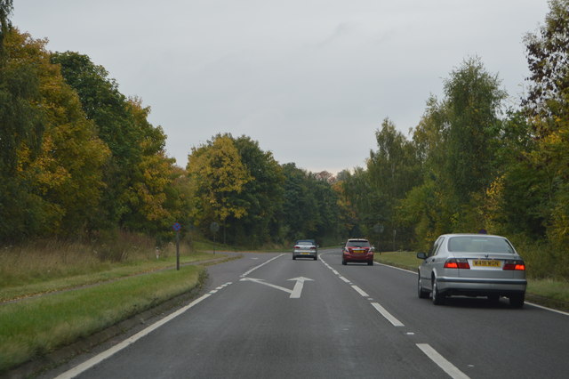
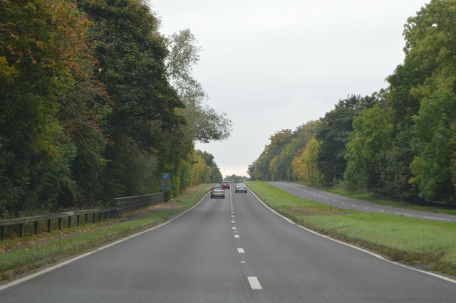
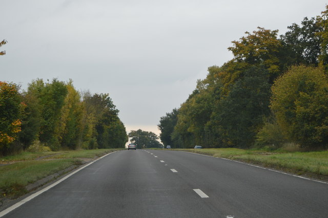
The village of Braughing has a rich history dating back to Roman times, with evidence of Roman settlements and artifacts discovered in the area. The parish is known for its picturesque countryside, with rolling hills, meadows, and farmland surrounding the village.
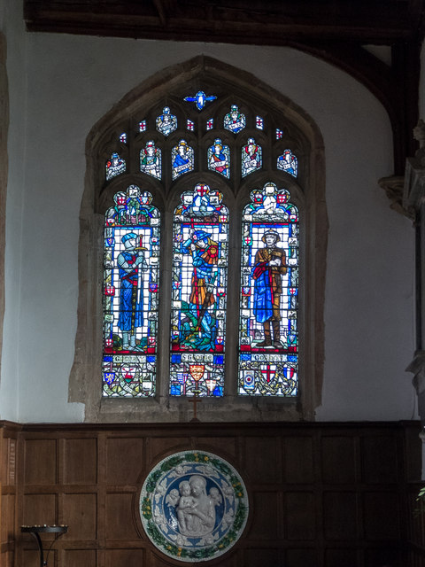
Braughing is renowned for its traditional English architecture, with many timber-framed buildings and thatched cottages lining its streets. The village is centered around St. Mary's Church, a Grade I listed building that dates back to the 12th century and boasts a stunning Norman tower.
The community in Braughing is vibrant and close-knit, with a range of local amenities and activities available for residents. These include a primary school, village hall, cricket club, and several pubs. The village also hosts various events throughout the year, such as the Braughing Jigsaw Festival and the annual Braughing Feast, which attracts visitors from neighboring areas.
Braughing's location provides easy access to surrounding towns and cities, with the A10 road passing nearby, connecting to London and Cambridge. The village is also well-served by public transportation, with regular bus services to nearby towns and railway stations.
Overall, Braughing is a charming and historic village, offering a peaceful countryside lifestyle while being well-connected to the wider region.
If you have any feedback on the listing, please let us know in the comments section below.
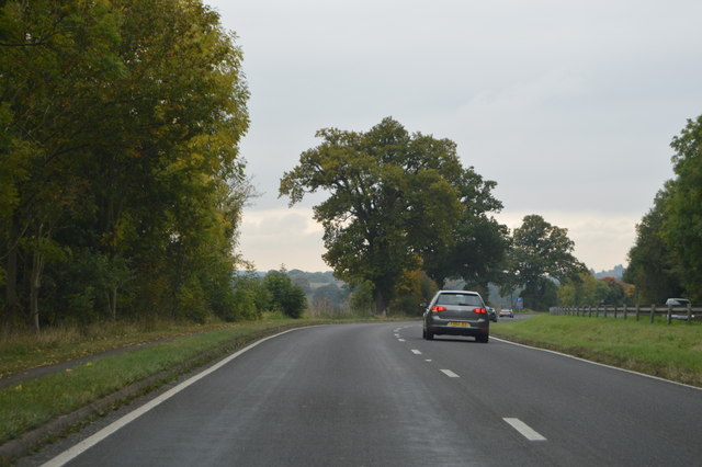
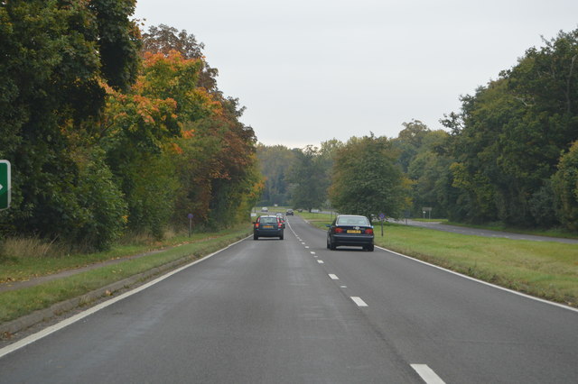
Braughing Images
Images are sourced within 2km of 51.910902/0.033472 or Grid Reference TL3925. Thanks to Geograph Open Source API. All images are credited.


Braughing is located at Grid Ref: TL3925 (Lat: 51.910902, Lng: 0.033472)
Administrative County: Hertfordshire
District: East Hertfordshire
Police Authority: Hertfordshire
What 3 Words
///rebounds.mobile.pickup. Near Puckeridge, Hertfordshire
Nearby Locations
Related Wikis

Bozen Green
Bozen Green is a hamlet in Hertfordshire, England. It includes the lost settlement of Bordesden. It is in the civil parish of Braughing

Braughing
Braughing is a village and civil parish, between the rivers Quin and Rib, in the non-metropolitan district of East Hertfordshire, part of the English...
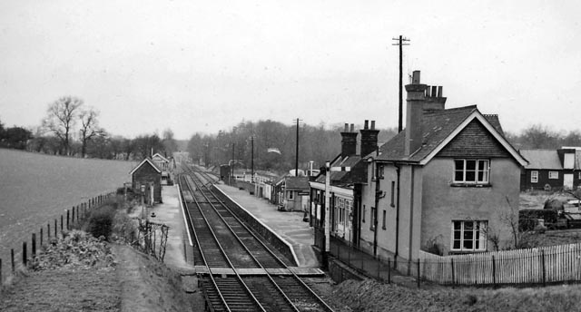
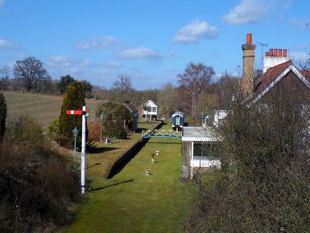
Braughing railway station
Braughing railway station served the village of Braughing, Hertfordshire, England, from 1863 to 1964 on the Buntingford branch line. == History == The...
Braughing (Roman town)
Braughing was a small town in the Roman province of Britannia. Its name in Latin is unknown. == Location == Today the site is partially occupied by the...
Dassels
Dassels is a hamlet in the district of East Hertfordshire, in the county of Hertfordshire. Nearby settlements include the town of Ware and the village...
Braughing Friars
Braughing Friars is a hamlet in Hertfordshire, England. It is in the civil parish of Braughing. == External links == Media related to Braughing Friars...

Puckeridge
Puckeridge is a village in East Hertfordshire, England with a population of 3,561 (2011 Census). It is in the civil parish of Standon. == History == The...

East Hertfordshire
East Hertfordshire is one of ten local government districts in Hertfordshire, England. Its council is based in Hertford, the county town of Hertfordshire...
Nearby Amenities
Located within 500m of 51.910902,0.033472Have you been to Braughing?
Leave your review of Braughing below (or comments, questions and feedback).