Woodfield
Settlement in Gloucestershire Stroud
England
Woodfield
Woodfield is a picturesque village located in the county of Gloucestershire, England. Situated in the heart of the Cotswolds, it is surrounded by rolling hills and stunning countryside, making it a popular destination for nature lovers and outdoor enthusiasts.
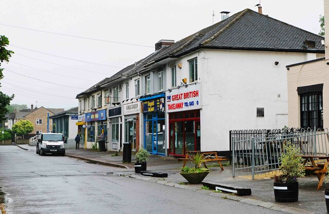
The village itself is characterized by its charming thatched cottages, quaint stone houses, and beautifully landscaped gardens. Its well-preserved historic architecture reflects the traditional Cotswold style, with honey-colored limestone dominating the buildings. The main street of Woodfield is lined with local shops, cafes, and a few small businesses, creating a lively and friendly atmosphere.
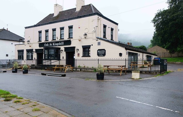
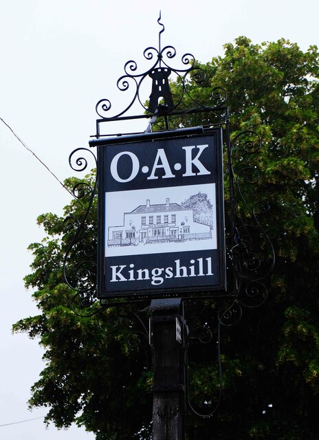
Woodfield is also known for its strong community spirit, with various events and gatherings organized throughout the year. The village hall hosts regular social activities, including craft fairs, charity fundraisers, and art exhibitions, offering residents and visitors a chance to engage with the local community.
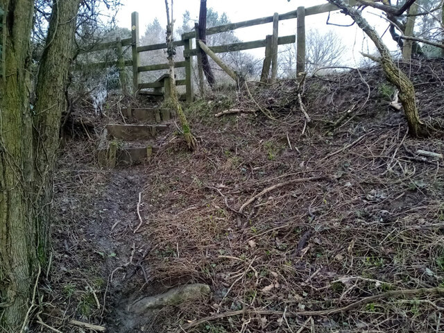
For those seeking outdoor pursuits, Woodfield offers ample opportunities. The surrounding countryside provides a network of walking trails, perfect for exploring the scenic beauty of the Cotswolds. Additionally, the nearby Woodfield Reservoir offers fishing and boating activities, attracting both locals and tourists.
Despite its rural setting, Woodfield benefits from good transport links. The village is conveniently located near major roads, allowing easy access to nearby towns and cities. The larger market town of Cheltenham is just a short drive away, providing residents with a wider range of amenities, shopping centers, and entertainment options.
In summary, Woodfield is a charming Cotswold village, offering a peaceful and idyllic setting amidst the stunning English countryside. It combines historic architecture, a vibrant community, and a wealth of outdoor activities, making it an attractive destination for both residents and visitors alike.
If you have any feedback on the listing, please let us know in the comments section below.
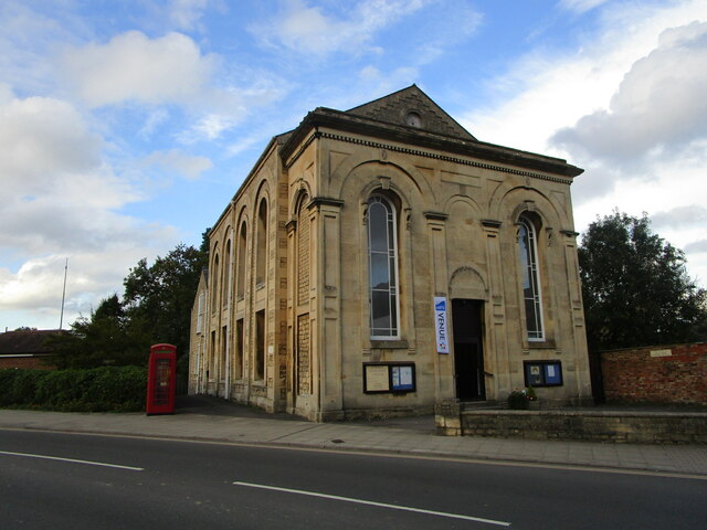
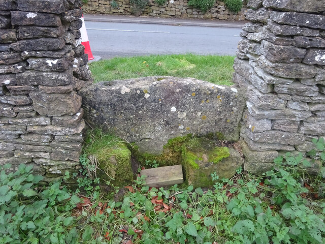
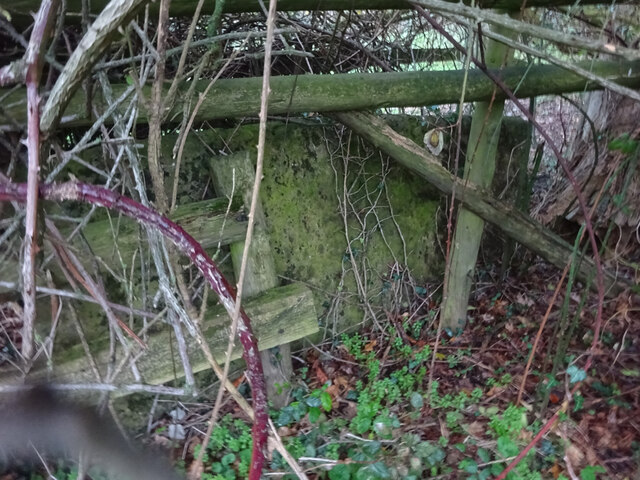
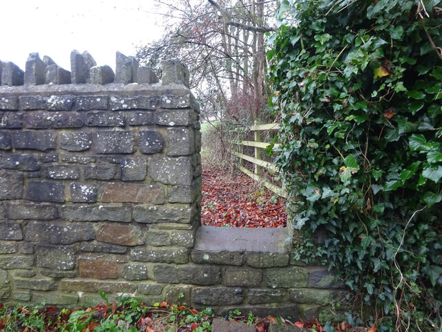
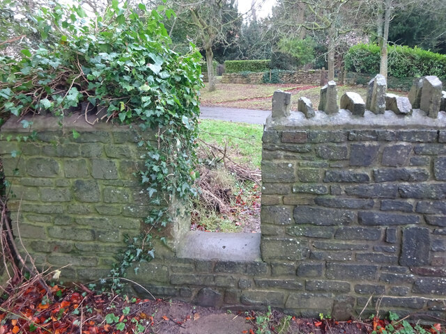
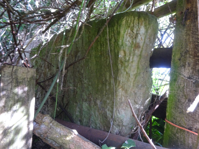
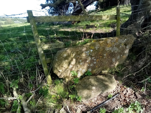
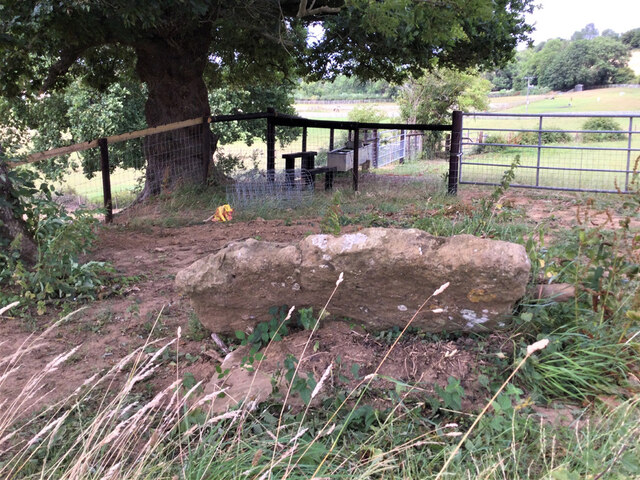
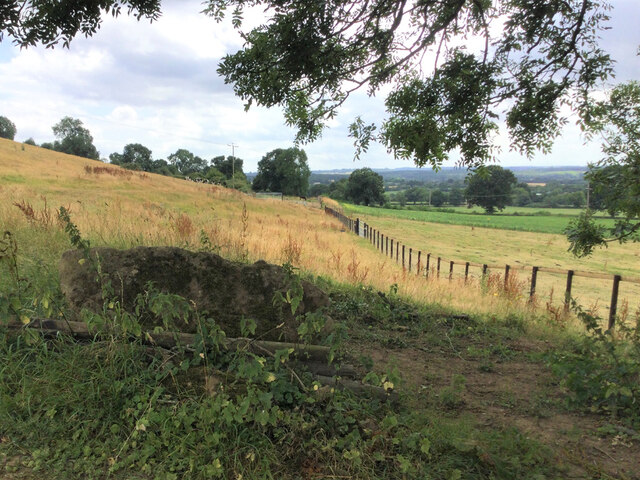
Woodfield Images
Images are sourced within 2km of 51.694346/-2.3741764 or Grid Reference ST7499. Thanks to Geograph Open Source API. All images are credited.
Woodfield is located at Grid Ref: ST7499 (Lat: 51.694346, Lng: -2.3741764)
Administrative County: Gloucestershire
District: Stroud
Police Authority: Gloucestershire
What 3 Words
///crouching.fattening.else. Near Dursley, Gloucestershire
Nearby Locations
Related Wikis

Cam, Gloucestershire
Cam is a large village and civil parish in Gloucestershire, England, situated on the edge of the Cotswolds and contiguous with the town of Dursley, north...

Cam railway station
Cam railway station served the village of Cam in Gloucestershire, England. The station was on the short Dursley and Midland Junction Railway line which...

Piers Court
Piers Court is a country house in Stinchcombe on the Cotswold Edge in Gloucestershire, England. A Grade II* listed building, in the mid-20th century the...
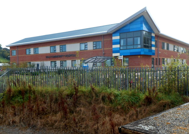
Vale Community Hospital
Vale Community Hospital is a community hospital in Lister Road, Dursley, Gloucestershire, England. It is managed by Gloucestershire Health and Care NHS...
Nearby Amenities
Located within 500m of 51.694346,-2.3741764Have you been to Woodfield?
Leave your review of Woodfield below (or comments, questions and feedback).