Summerhayes
Settlement in Gloucestershire Stroud
England
Summerhayes
Summerhayes is a small village located in the Cotswold District of Gloucestershire, England. Situated approximately 6 miles south of the historic market town of Cirencester, it falls within the South West region of the country. With a population of around 500 residents, Summerhayes offers a peaceful and rural atmosphere.
The village is characterized by its picturesque surroundings, nestled amongst rolling hills and lush green fields. The landscape is dotted with traditional stone cottages, giving the area a quintessentially English charm. The nearby River Churn flows gently through the village, adding to its idyllic setting.
Despite its small size, Summerhayes boasts a strong sense of community. The village is home to a primary school, providing education for local children. Additionally, a village hall serves as a hub for social gatherings and events, fostering a close-knit atmosphere among residents.
For amenities and services, Summerhayes relies on the nearby towns and villages. Cirencester provides a range of shops, supermarkets, and healthcare facilities, ensuring that residents have access to essential amenities within a short distance.
The village's location within the Cotswolds also offers numerous opportunities for outdoor activities. Surrounding areas provide ample walking and cycling routes, allowing residents and visitors to explore the beautiful countryside. Furthermore, Summerhayes is within close proximity to the Cotswold Water Park, a popular destination for water sports and leisure activities.
Overall, Summerhayes is a charming village that offers a tranquil retreat for those seeking a peaceful rural lifestyle, while still providing easy access to essential amenities and the stunning natural beauty of the Cotswolds.
If you have any feedback on the listing, please let us know in the comments section below.
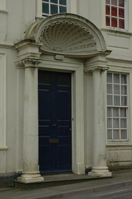
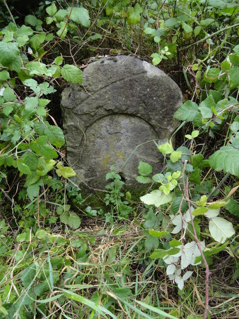
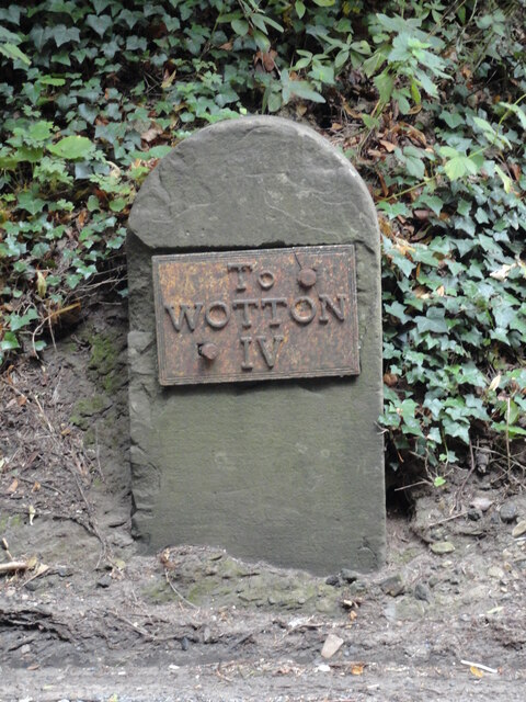
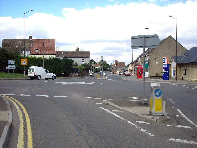
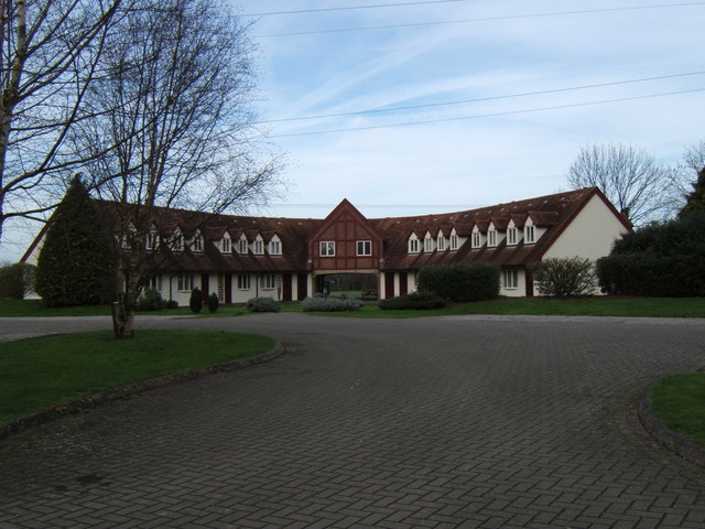
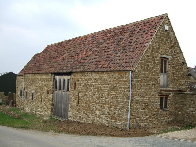
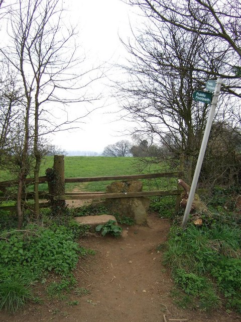
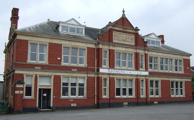
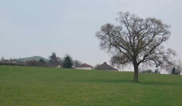
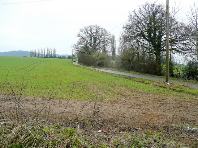
Summerhayes Images
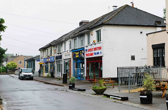
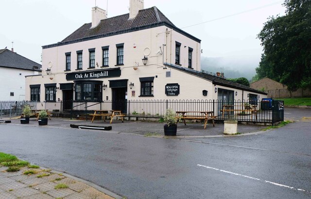
Images are sourced within 2km of 51.697331/-2.3655921 or Grid Reference ST7499. Thanks to Geograph Open Source API. All images are credited.
Summerhayes is located at Grid Ref: ST7499 (Lat: 51.697331, Lng: -2.3655921)
Administrative County: Gloucestershire
District: Stroud
Police Authority: Gloucestershire
What 3 Words
///saddens.hasten.remind. Near Dursley, Gloucestershire
Nearby Locations
Related Wikis

Cam, Gloucestershire
Cam is a large village and civil parish in Gloucestershire, England, situated on the edge of the Cotswolds and contiguous with the town of Dursley, north...

Cam railway station
Cam railway station served the village of Cam in Gloucestershire, England. The station was on the short Dursley and Midland Junction Railway line which...

Parish Church of St George
The Parish Church of St George (Church of England) in the village of Cam, Gloucestershire, is an Anglican establishment situated in a slightly elevated...
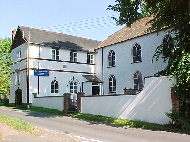
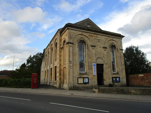
Cam Congregational Church
Cam Congregational Church in the village of Upper Cam near the market town of Dursley, Gloucestershire. Founded in 1662, and originally known as Cam Independent...
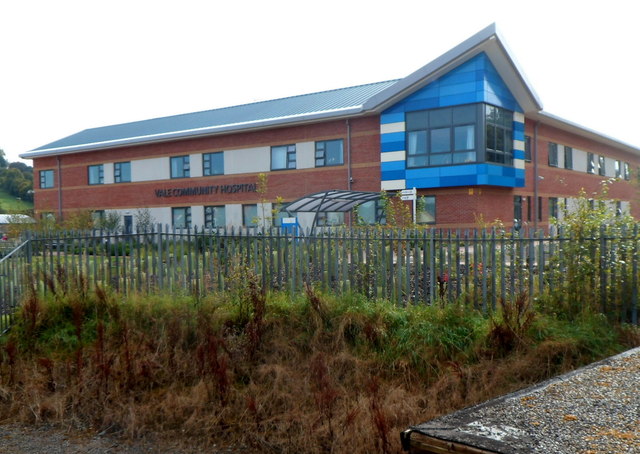
Vale Community Hospital
Vale Community Hospital is a community hospital in Lister Road, Dursley, Gloucestershire, England. It is managed by Gloucestershire Health and Care NHS...

Rednock School
Rednock School is a comprehensive school located in Dursley, Gloucestershire, England. It is a specialist Science College which also contains a sixth form...

Dursley railway station
Dursley railway station served the town of Dursley in Gloucestershire, England, and was the terminus of the short Dursley and Midland Junction Railway...

Vale of Berkeley
The Vale of Berkeley (sometimes known as Berkeley Vale) is an area in Gloucestershire, England. It lies between the River Severn and the Cotswold Edge...
Nearby Amenities
Located within 500m of 51.697331,-2.3655921Have you been to Summerhayes?
Leave your review of Summerhayes below (or comments, questions and feedback).