Summerhill

Settlement in Staffordshire Stafford

England

Summerhill

Uttoxeter Road
Uttoxeter Road Credit: Colin Pyle

Summerhill is a village located in the county of Staffordshire, England. Situated near the town of Lichfield, it lies in the heart of the picturesque countryside, surrounded by rolling hills and green fields. The village is known for its tranquility and natural beauty, attracting visitors seeking a peaceful retreat.

With a population of around 1,000 residents, Summerhill maintains a close-knit community atmosphere. The village is characterized by its charming, traditional architecture, featuring a mix of historic cottages and modern homes. The streets are lined with well-kept gardens and flowering plants, adding to the village's aesthetic appeal.

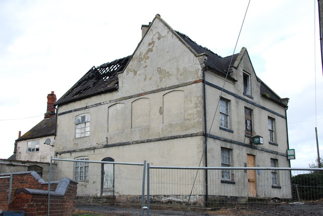
Despite its small size, Summerhill offers a range of amenities to its residents. The village boasts a local pub, providing a social hub for locals and visitors alike. There is also a small convenience store, ensuring essential supplies are readily available. For recreational activities, the village is home to a well-maintained park and playground, offering a space for families to enjoy outdoor activities.

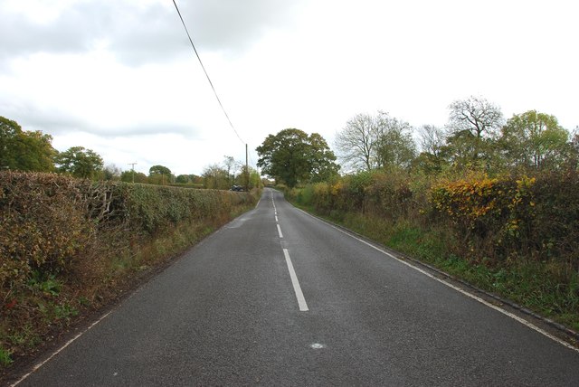
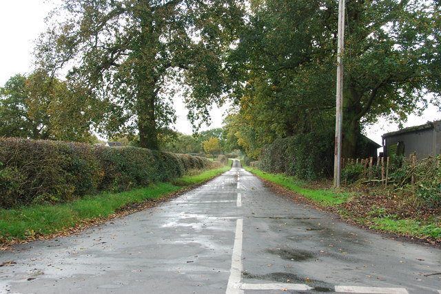
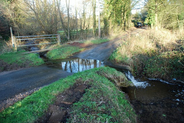
Surrounded by picturesque countryside, Summerhill is a haven for nature enthusiasts. The village is situated near several walking and cycling routes, allowing residents and visitors to explore the stunning landscapes at their leisure. Additionally, the nearby Cannock Chase Area of Outstanding Natural Beauty offers further opportunities for outdoor pursuits, including hiking, horse riding, and wildlife spotting.

Overall, Summerhill is a charming village in the heart of Staffordshire, offering a peaceful and picturesque setting for residents and visitors to enjoy the beauty of the English countryside.

If you have any feedback on the listing, please let us know in the comments section below.
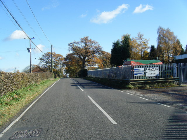
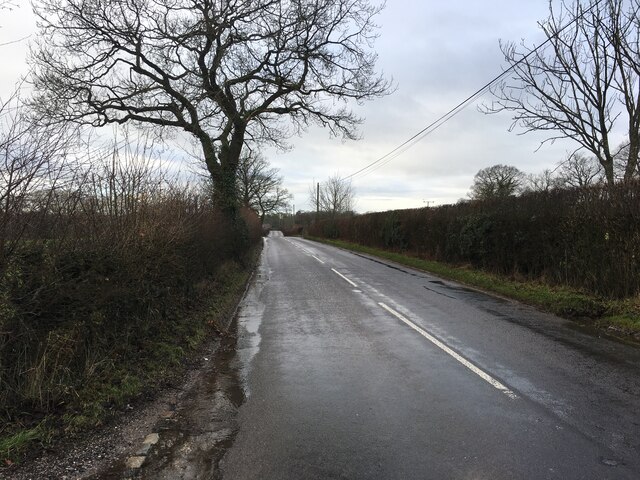
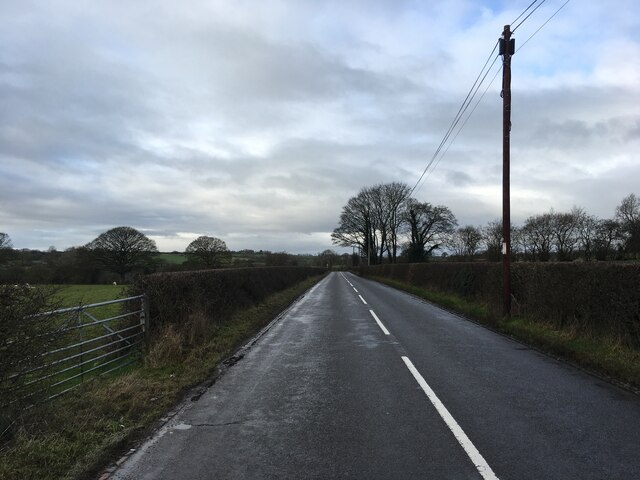
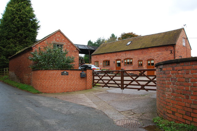
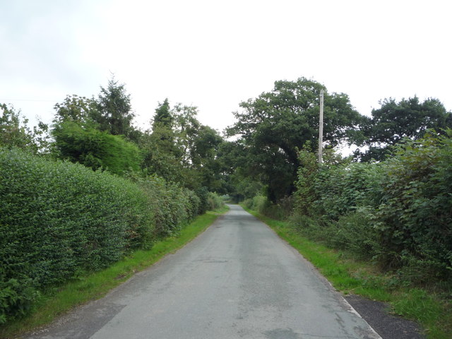
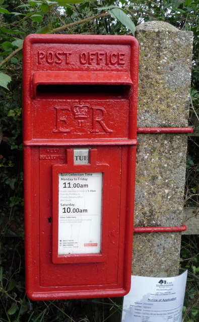
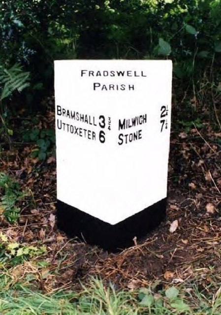
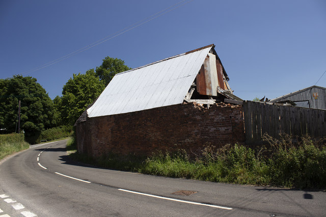
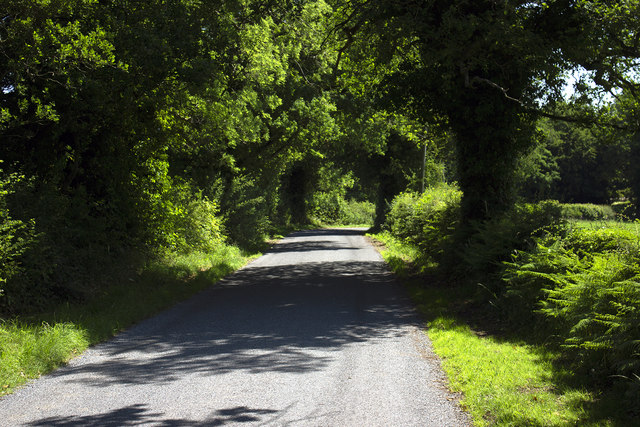
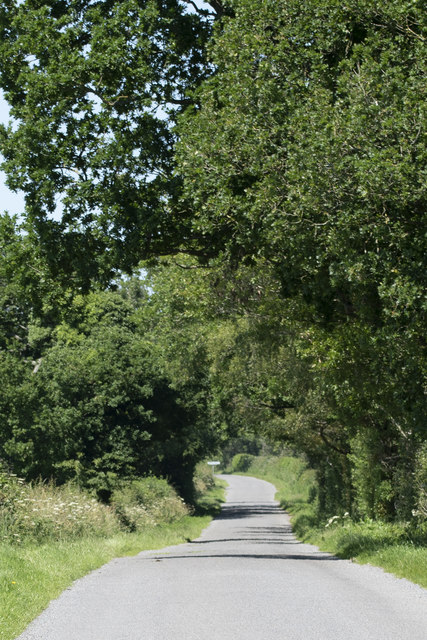
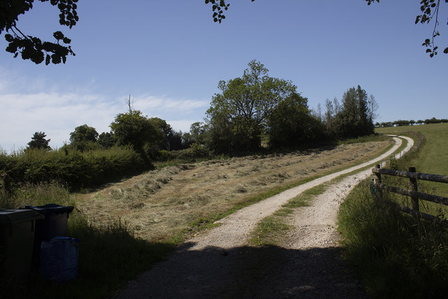
Summerhill Images

Images are sourced within 2km of 52.900343/-2.0180951 or Grid Reference SJ9833. Thanks to Geograph Open Source API. All images are credited.

Uttoxeter Road
Uttoxeter Road
B5027 near Fradswell
B5027 near Milwich
B5027 near Milwich
Coton Green Farm, Coton The lovely red brick buildings on this farm look as if they have been converted to housing.
Coton Green Farm, Coton
The lovely red brick buildings on this farm look as if they have been converted to housing.
Burnt out remains of The Wheatsheaf at Coton
House on a Road Junction, Coton Hill The main road on the right is the B5027 Uttoxeter Road,the minor road to the left of the house goes to Stone Heath.
House on a Road Junction, Coton Hill
The main road on the right is the B5027 Uttoxeter Road,the minor road to the left of the house goes to Stone Heath.
Looking East along the B5027 Uttoxeter Road
Minor Road leaving the Uttoxeter Road towards Fradswell Heath
Garshall Green Ford This ford on Wheatlow Brook is found beside Brookhouse Farm at Garshall Green.
Garshall Green Ford
This ford on Wheatlow Brook is found beside Brookhouse Farm at Garshall Green.
Hill Lane near Lion Farm Heading east from Middleton Green.
Hill Lane near Lion Farm
Heading east from Middleton Green.
Elizabeth II postbox on Hill Lane, Middleton Green Postbox No. ST10 197.

See <a href="https://www.geograph.org.uk/photo/5098513">SJ9935 : Close up, Elizabeth II postbox on Hill Lane, Middleton Green</a> for close up.

See <a href="https://www.geograph.org.uk/photo/5098515">SJ9935 : Hill Lane, Middleton Green</a> for context.
Elizabeth II postbox on Hill Lane, Middleton Green
Close up, Elizabeth II postbox on Hill Lane, Middleton Green Postbox No. ST10 197.

See <a href="https://www.geograph.org.uk/photo/5098510">SJ9935 : Elizabeth II postbox on Hill Lane, Middleton Green</a> for wider view.
Close up, Elizabeth II postbox on Hill Lane, Middleton Green
Postbox No. ST10 197. See SJ9935 : Elizabeth II postbox on Hill Lane, Middleton Green for wider view.
Hill Lane, Middleton Green Showing position of Postbox No. ST10 197.

See <a href="https://www.geograph.org.uk/photo/5098510">SJ9935 : Elizabeth II postbox on Hill Lane, Middleton Green</a> for postbox.
Hill Lane, Middleton Green
Showing position of Postbox No. ST10 197. See SJ9935 : Elizabeth II postbox on Hill Lane, Middleton Green for postbox.
Old Milepost by the B5027, Leigh Parish Cast iron post by the B5027, in parish of LEIGH (EAST STAFFORDSHIRE District), between Field and Milwich, on the verge, on North side of road. Cochrane iron casting, erected by the County Council in the 20th century.

Inscription reads:-
: BRAMSHALL 3¾ / UTTOXETER 6 : : FRADSWELL / PARISH : : MILWICH 2¼ / STONE 7¼ : 
Maker:-
: Cochrane & Co, Dudley. :

Grade II Listed. List Entry Number: 1392730 
<span class="nowrap"><a title="https://historicengland.org.uk/listing/the-list/list-entry/1392730" rel="nofollow ugc noopener" href="https://historicengland.org.uk/listing/the-list/list-entry/1392730">Link</a><img style="margin-left:2px;" alt="External link" title="External link - shift click to open in new window" src="https://s1.geograph.org.uk/img/external.png" width="10" height="10"/></span>

Milestone Society National ID: ST_UTSN06.
Old Milepost by the B5027, Leigh Parish
Cast iron post by the B5027, in parish of LEIGH (EAST STAFFORDSHIRE District), between Field and Milwich, on the verge, on North side of road. Cochrane iron casting, erected by the County Council in the 20th century. Inscription reads:- : BRAMSHALL 3¾ / UTTOXETER 6 : : FRADSWELL / PARISH : : MILWICH 2¼ / STONE 7¼ : Maker:- : Cochrane & Co, Dudley. : Grade II Listed. List Entry Number: 1392730 LinkExternal link Milestone Society National ID: ST_UTSN06.
Farm buildings
Farm buildings
Road to Milwich Road and hedgerows near Calloway Farm
Road to Milwich
Road and hedgerows near Calloway Farm
Ferrer's Wood Road to Highfields Farm at Ferrer's Wood
Ferrer's Wood
Road to Highfields Farm at Ferrer's Wood
Knowle Farm track Hay field at Knowle Farm
Knowle Farm track
Hay field at Knowle Farm
Show me another place!

Summerhill is located at Grid Ref: SJ9833 (Lat: 52.900343, Lng: -2.0180951)

Administrative County: Staffordshire

District: Stafford

Police Authority: Staffordshire

What 3 Words

///fines.capillary.claw. Near Stone, Staffordshire

Related Wikis

Coton Hill, Staffordshire

Coton Hill is a hamlet in the English county of Staffordshire. Coton Hill is located east of the village of Milwich on the B5027 road between Stone and...

Milwich

Milwich is a village and a civil parish in the English county of Staffordshire. == Location == The village is 7.8 miles (12.6 km) north east of the town...

Fradswell

Fradswell is a village in Staffordshire, England, approximately 7 miles (10 km) north-east of the town of Stafford and 7 miles (11 km) north of Colwich...

Leigh railway station (Staffordshire)

Leigh railway station was a railway station in Staffordshire, England. The railway line between Stoke-on-Trent and Uttoxeter was opened by the North Staffordshire...

Nearby Amenities

Located within 500m of 52.900343,-2.0180951
Turning Loop
Lat/Long: 52.9044634/-2.0209141
The data included in this document is from www.openstreetmap.org. The data is made available under ODbL.

Have you been to Summerhill?

Leave your review of Summerhill below (or comments, questions and feedback).