Wood End

Settlement in Yorkshire

England

Wood End

View down Victoria Road, Saltaire Saltaire is a Victorian model village on the outskirts of Bradford, by the River Aire and the Leeds and Liverpool Canal The village takes its name from Titus Salt, a Victorian textile magnate and philanthropist who built a mill and a village to house his workers.

In December 2001, Saltaire was designated a World Heritage Site by UNESCO (<span class="nowrap"><a title="http://www.saltairevillage.info/acrobat/Saltaire_Streetplan_Nemine_Juvante_Publications.pdf" rel="nofollow ugc noopener" href="http://www.saltairevillage.info/acrobat/Saltaire_Streetplan_Nemine_Juvante_Publications.pdf">Link</a><img style="margin-left:2px;" alt="External link" title="External link - shift click to open in new window" src="https://s1.geograph.org.uk/img/external.png" width="10" height="10"/></span>  for a site plan of Saltaire showing the overall layout and the boundaries of the UNESCO World Heritage Site). The vast majority of buildings in the village have been individually designated as listed buildings by English Heritage.
View down Victoria Road, Saltaire Credit: David Martin

Wood End is a charming village located in the picturesque region of Yorkshire, England. Situated in the Ryedale district, it is nestled amidst the rolling hills and lush green countryside that Yorkshire is renowned for. With a population of around 500 residents, Wood End offers a tranquil and close-knit community atmosphere.

The village is rich in history, with records dating back to the 13th century. It is known for its well-preserved traditional architecture, featuring a mix of stone cottages and Georgian houses. The village center is dominated by a quaint parish church, showcasing stunning stained glass windows and a peaceful churchyard.

Surrounded by stunning natural beauty, Wood End boasts an abundance of outdoor recreational activities. The nearby countryside offers numerous walking and cycling trails, allowing residents and visitors to explore the area's scenic landscapes. The village is also close to the renowned North York Moors National Park, providing opportunities for hiking, wildlife spotting, and breathtaking views.

Wood End benefits from a close proximity to larger towns and cities. The market town of Malton is just a short drive away, offering a range of amenities including shops, restaurants, and schools. The historic city of York is also within easy reach, providing further cultural and recreational opportunities.

In summary, Wood End is a charming village in Yorkshire, offering a peaceful and idyllic setting amidst stunning natural landscapes. With its rich history, friendly community, and proximity to larger towns, it is an ideal place for those seeking a rural lifestyle with modern conveniences nearby.

If you have any feedback on the listing, please let us know in the comments section below.
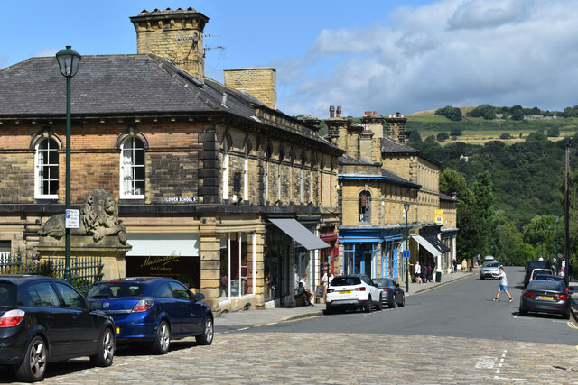
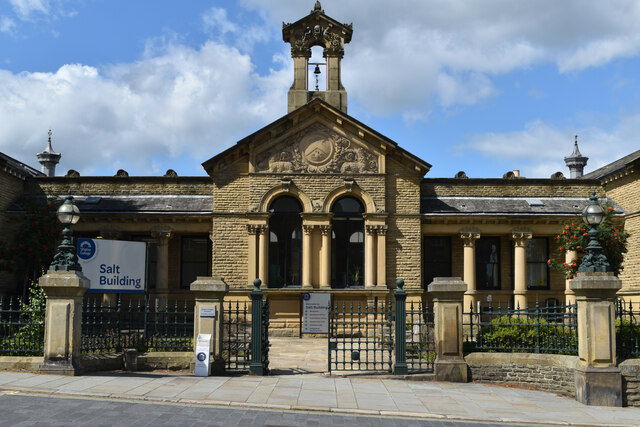
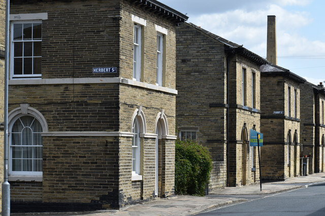
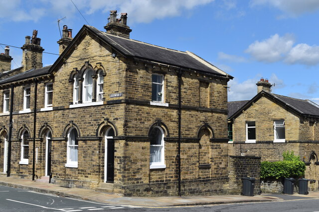
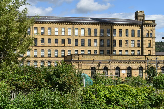
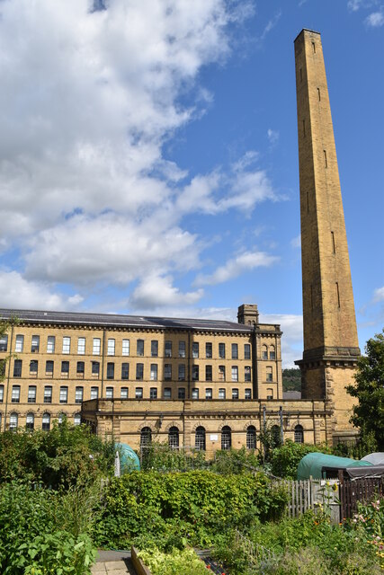
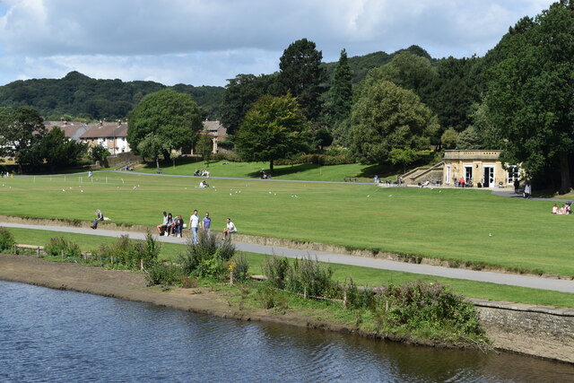
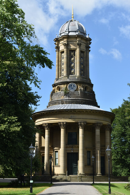
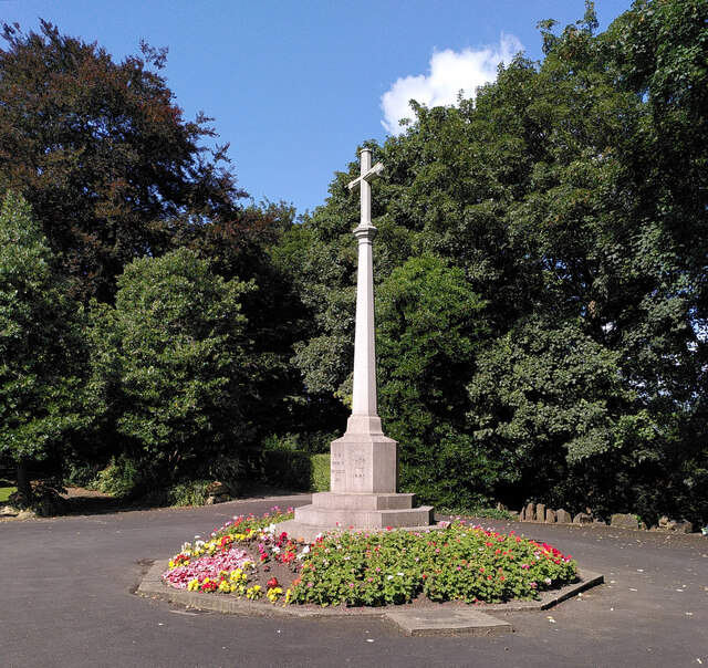
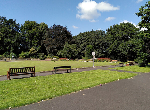
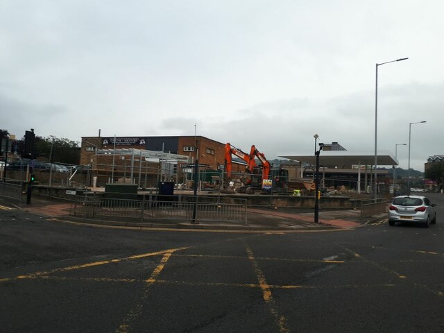
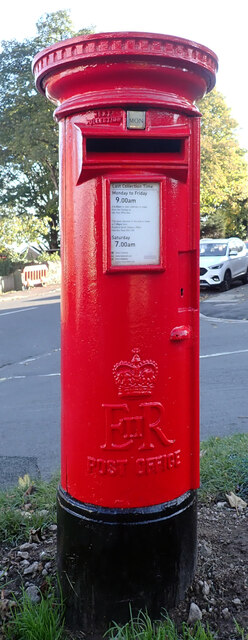
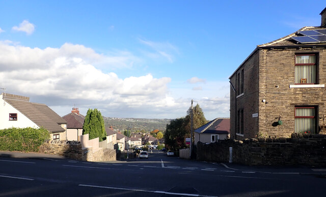
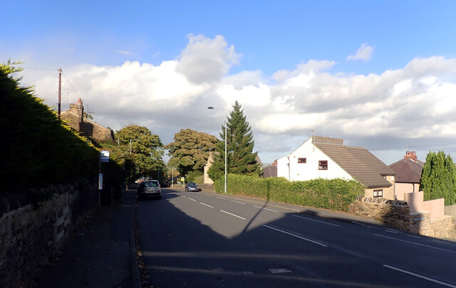
Wood End Images

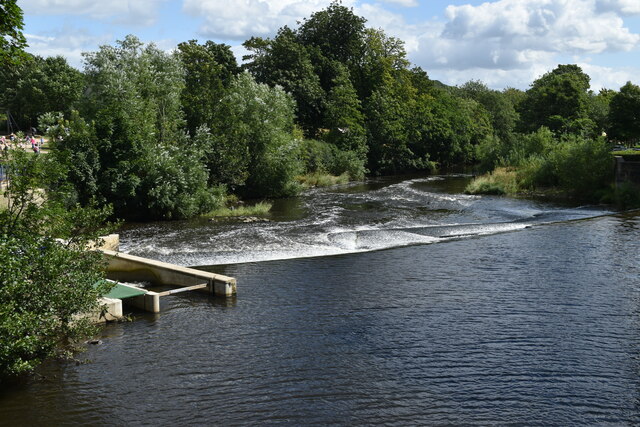
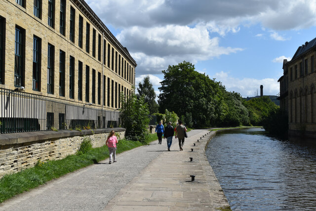
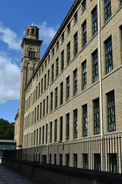
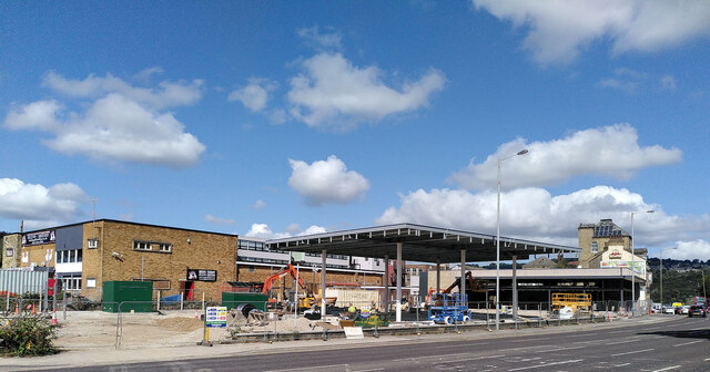
Images are sourced within 2km of 53.835942/-1.7633235 or Grid Reference SE1537. Thanks to Geograph Open Source API. All images are credited.

View down Victoria Road, Saltaire Saltaire is a Victorian model village on the outskirts of Bradford, by the River Aire and the Leeds and Liverpool Canal The village takes its name from Titus Salt, a Victorian textile magnate and philanthropist who built a mill and a village to house his workers.

In December 2001, Saltaire was designated a World Heritage Site by UNESCO (<span class="nowrap"><a title="http://www.saltairevillage.info/acrobat/Saltaire_Streetplan_Nemine_Juvante_Publications.pdf" rel="nofollow ugc noopener" href="http://www.saltairevillage.info/acrobat/Saltaire_Streetplan_Nemine_Juvante_Publications.pdf">Link</a><img style="margin-left:2px;" alt="External link" title="External link - shift click to open in new window" src="https://s1.geograph.org.uk/img/external.png" width="10" height="10"/></span>  for a site plan of Saltaire showing the overall layout and the boundaries of the UNESCO World Heritage Site). The vast majority of buildings in the village have been individually designated as listed buildings by English Heritage.
View down Victoria Road, Saltaire
Saltaire is a Victorian model village on the outskirts of Bradford, by the River Aire and the Leeds and Liverpool Canal The village takes its name from Titus Salt, a Victorian textile magnate and philanthropist who built a mill and a village to house his workers. In December 2001, Saltaire was designated a World Heritage Site by UNESCO (LinkExternal link for a site plan of Saltaire showing the overall layout and the boundaries of the UNESCO World Heritage Site). The vast majority of buildings in the village have been individually designated as listed buildings by English Heritage.
The Salt Building, Saltaire Originally the site of the factory school, and now a part of Shipley College.
The Salt Building, Saltaire
Originally the site of the factory school, and now a part of Shipley College.
Houses in Caroline Street, Saltaire Saltaire is a Victorian model village on the outskirts of Bradford, by the River Aire and the Leeds and Liverpool Canal The village takes its name from Titus Salt, a Victorian textile magnate and philanthropist who built a mill and a village to house his workers.

In December 2001, Saltaire was designated a World Heritage Site by UNESCO (<span class="nowrap"><a title="http://www.saltairevillage.info/acrobat/Saltaire_Streetplan_Nemine_Juvante_Publications.pdf" rel="nofollow ugc noopener" href="http://www.saltairevillage.info/acrobat/Saltaire_Streetplan_Nemine_Juvante_Publications.pdf">Link</a><img style="margin-left:2px;" alt="External link" title="External link - shift click to open in new window" src="https://s1.geograph.org.uk/img/external.png" width="10" height="10"/></span>  for a site plan of Saltaire showing the overall layout and the boundaries of the UNESCO World Heritage Site). The vast majority of buildings in the village have been individually designated as listed buildings by English Heritage.
Houses in Caroline Street, Saltaire
Saltaire is a Victorian model village on the outskirts of Bradford, by the River Aire and the Leeds and Liverpool Canal The village takes its name from Titus Salt, a Victorian textile magnate and philanthropist who built a mill and a village to house his workers. In December 2001, Saltaire was designated a World Heritage Site by UNESCO (LinkExternal link for a site plan of Saltaire showing the overall layout and the boundaries of the UNESCO World Heritage Site). The vast majority of buildings in the village have been individually designated as listed buildings by English Heritage.
House on the corner of Lockwood Street, Saltaire Saltaire is a Victorian model village on the outskirts of Bradford, by the River Aire and the Leeds and Liverpool Canal The village takes its name from Titus Salt, a Victorian textile magnate and philanthropist who built a mill and a village to house his workers.

In December 2001, Saltaire was designated a World Heritage Site by UNESCO (<span class="nowrap"><a title="http://www.saltairevillage.info/acrobat/Saltaire_Streetplan_Nemine_Juvante_Publications.pdf" rel="nofollow ugc noopener" href="http://www.saltairevillage.info/acrobat/Saltaire_Streetplan_Nemine_Juvante_Publications.pdf">Link</a><img style="margin-left:2px;" alt="External link" title="External link - shift click to open in new window" src="https://s1.geograph.org.uk/img/external.png" width="10" height="10"/></span>  for a site plan of Saltaire showing the overall layout and the boundaries of the UNESCO World Heritage Site). The vast majority of buildings in the village have been individually designated as listed buildings by English Heritage.
House on the corner of Lockwood Street, Saltaire
Saltaire is a Victorian model village on the outskirts of Bradford, by the River Aire and the Leeds and Liverpool Canal The village takes its name from Titus Salt, a Victorian textile magnate and philanthropist who built a mill and a village to house his workers. In December 2001, Saltaire was designated a World Heritage Site by UNESCO (LinkExternal link for a site plan of Saltaire showing the overall layout and the boundaries of the UNESCO World Heritage Site). The vast majority of buildings in the village have been individually designated as listed buildings by English Heritage.
Salt's Mill seen across allotments from Caroline Street The shadow of the mill chimney can be seen on the further building.
Salt's Mill seen across allotments from Caroline Street
The shadow of the mill chimney can be seen on the further building.
Salt's Mill and chimney seen across allotments from Caroline Street Saltaire is a Victorian model village on the outskirts of Bradford, by the River Aire and the Leeds and Liverpool Canal The village takes its name from Titus Salt, a Victorian textile magnate and philanthropist who built a mill and a village to house his workers.

In December 2001, Saltaire was designated a World Heritage Site by UNESCO (<span class="nowrap"><a title="http://www.saltairevillage.info/acrobat/Saltaire_Streetplan_Nemine_Juvante_Publications.pdf" rel="nofollow ugc noopener" href="http://www.saltairevillage.info/acrobat/Saltaire_Streetplan_Nemine_Juvante_Publications.pdf">Link</a><img style="margin-left:2px;" alt="External link" title="External link - shift click to open in new window" src="https://s1.geograph.org.uk/img/external.png" width="10" height="10"/></span>  for a site plan of Saltaire showing the overall layout and the boundaries of the UNESCO World Heritage Site). The vast majority of buildings in the village have been individually designated as listed buildings by English Heritage.
Salt's Mill and chimney seen across allotments from Caroline Street
Saltaire is a Victorian model village on the outskirts of Bradford, by the River Aire and the Leeds and Liverpool Canal The village takes its name from Titus Salt, a Victorian textile magnate and philanthropist who built a mill and a village to house his workers. In December 2001, Saltaire was designated a World Heritage Site by UNESCO (LinkExternal link for a site plan of Saltaire showing the overall layout and the boundaries of the UNESCO World Heritage Site). The vast majority of buildings in the village have been individually designated as listed buildings by English Heritage.
Roberts Park, beside the River Aire at Saltaire
Saltaire United Reformed Church Saltaire is a Victorian model village on the outskirts of Bradford, by the River Aire and the Leeds and Liverpool Canal The village takes its name from Titus Salt, a Victorian textile magnate and philanthropist who built a mill and a village to house his workers.

In December 2001, Saltaire was designated a World Heritage Site by UNESCO (<span class="nowrap"><a title="http://www.saltairevillage.info/acrobat/Saltaire_Streetplan_Nemine_Juvante_Publications.pdf" rel="nofollow ugc noopener" href="http://www.saltairevillage.info/acrobat/Saltaire_Streetplan_Nemine_Juvante_Publications.pdf">Link</a><img style="margin-left:2px;" alt="External link" title="External link - shift click to open in new window" src="https://s1.geograph.org.uk/img/external.png" width="10" height="10"/></span>  for a site plan of Saltaire showing the overall layout and the boundaries of the UNESCO World Heritage Site). The vast majority of buildings in the village have been individually designated as listed buildings by English Heritage.
Saltaire United Reformed Church
Saltaire is a Victorian model village on the outskirts of Bradford, by the River Aire and the Leeds and Liverpool Canal The village takes its name from Titus Salt, a Victorian textile magnate and philanthropist who built a mill and a village to house his workers. In December 2001, Saltaire was designated a World Heritage Site by UNESCO (LinkExternal link for a site plan of Saltaire showing the overall layout and the boundaries of the UNESCO World Heritage Site). The vast majority of buildings in the village have been individually designated as listed buildings by English Heritage.
Weir on the River Aire at Saltaire
Leeds and Liverpool Canal towpath beside the New Mill, Saltaire Saltaire is a Victorian model village on the outskirts of Bradford, by the River Aire and the Leeds and Liverpool Canal The village takes its name from Titus Salt, a Victorian textile magnate and philanthropist who built a mill and a village to house his workers.

In December 2001, Saltaire was designated a World Heritage Site by UNESCO (<span class="nowrap"><a title="http://www.saltairevillage.info/acrobat/Saltaire_Streetplan_Nemine_Juvante_Publications.pdf" rel="nofollow ugc noopener" href="http://www.saltairevillage.info/acrobat/Saltaire_Streetplan_Nemine_Juvante_Publications.pdf">Link</a><img style="margin-left:2px;" alt="External link" title="External link - shift click to open in new window" src="https://s1.geograph.org.uk/img/external.png" width="10" height="10"/></span>  for a site plan of Saltaire showing the overall layout and the boundaries of the UNESCO World Heritage Site). The vast majority of buildings in the village have been individually designated as listed buildings by English Heritage.
Leeds and Liverpool Canal towpath beside the New Mill, Saltaire
Saltaire is a Victorian model village on the outskirts of Bradford, by the River Aire and the Leeds and Liverpool Canal The village takes its name from Titus Salt, a Victorian textile magnate and philanthropist who built a mill and a village to house his workers. In December 2001, Saltaire was designated a World Heritage Site by UNESCO (LinkExternal link for a site plan of Saltaire showing the overall layout and the boundaries of the UNESCO World Heritage Site). The vast majority of buildings in the village have been individually designated as listed buildings by English Heritage.
The New Mill, Saltaire Saltaire is a Victorian model village on the outskirts of Bradford, by the River Aire and the Leeds and Liverpool Canal The village takes its name from Titus Salt, a Victorian textile magnate and philanthropist who built a mill and a village to house his workers.

In December 2001, Saltaire was designated a World Heritage Site by UNESCO (<span class="nowrap"><a title="http://www.saltairevillage.info/acrobat/Saltaire_Streetplan_Nemine_Juvante_Publications.pdf" rel="nofollow ugc noopener" href="http://www.saltairevillage.info/acrobat/Saltaire_Streetplan_Nemine_Juvante_Publications.pdf">Link</a><img style="margin-left:2px;" alt="External link" title="External link - shift click to open in new window" src="https://s1.geograph.org.uk/img/external.png" width="10" height="10"/></span>  for a site plan of Saltaire showing the overall layout and the boundaries of the UNESCO World Heritage Site). The vast majority of buildings in the village have been individually designated as listed buildings by English Heritage.
The New Mill, Saltaire
Saltaire is a Victorian model village on the outskirts of Bradford, by the River Aire and the Leeds and Liverpool Canal The village takes its name from Titus Salt, a Victorian textile magnate and philanthropist who built a mill and a village to house his workers. In December 2001, Saltaire was designated a World Heritage Site by UNESCO (LinkExternal link for a site plan of Saltaire showing the overall layout and the boundaries of the UNESCO World Heritage Site). The vast majority of buildings in the village have been individually designated as listed buildings by English Heritage.
Construction, Otley Road (A6038), Shipley
War memorial, Crowgill Park, Shipley
Crowgill Park, Shipley Part of the bowling green and the war memorial can be seen.
Crowgill Park, Shipley
Part of the bowling green and the war memorial can be seen.
Construction site on Otley Road This was snapped from a passing bus, but it seems another contributor took a clearer photo from a different angle the week before <a href="https://www.geograph.org.uk/photo/6946197">SE1437 : Construction, Otley Road (A6038), Shipley</a> as well as the demolition of the previous buildings at the start of the year <a href="https://www.geograph.org.uk/photo/6742695">SE1437 : Demolition site, Otley Road (A6038), Shipley</a>. 
 It looks like a new filling station being built, judging by the canopy.
Construction site on Otley Road
This was snapped from a passing bus, but it seems another contributor took a clearer photo from a different angle the week before SE1437 : Construction, Otley Road (A6038), Shipley as well as the demolition of the previous buildings at the start of the year SE1437 : Demolition site, Otley Road (A6038), Shipley. It looks like a new filling station being built, judging by the canopy.
Post box, Santa Monica Road, Idle, Bradford This post box can be seen in context in <a href="https://www.geograph.org.uk/photo/7002152">SE1737 : The junction of Santa Monica Road and Highfield Road, Idle, Bradford</a>.
Post box, Santa Monica Road, Idle, Bradford
Ley Fleaks Road seen from Highfield Road, Idle, Bradford
Highfield Road, Idle, Bradford
Show me another place!

Wood End is located at Grid Ref: SE1537 (Lat: 53.835942, Lng: -1.7633235)

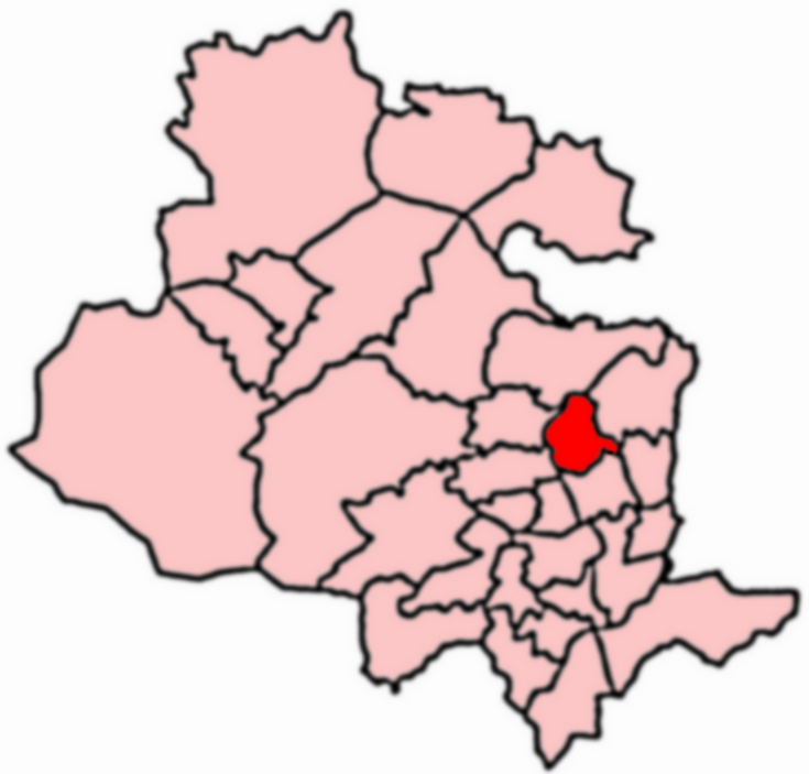
Division: West Riding

Unitary Authority: Bradford

Police Authority: West Yorkshire

What 3 Words

///rushed.truly.foam. Near Shipley, West Yorkshire

Related Wikis

Shipley and Windhill railway station

Shipley and Windhill railway station was a railway station in Shipley, West Yorkshire, England between 1875 and 1931. During the 1860s, two small railway...

Windhill and Wrose

Windhill and Wrose (population 14,541 - 2001 UK census) is a ward within the City of Bradford Metropolitan District Council in the county of West Yorkshire...

Bradford Beck

Bradford Beck is a river that flows through Bradford, West Yorkshire, England, (then Bradford Dale) and on to the River Aire at Shipley. As it reaches...

Shipley railway station

Shipley railway station serves the market town of Shipley in West Yorkshire, England. It is 2+3⁄4 miles (4.4 km) north of Bradford Forster Square and 10...

Nearby Amenities

Located within 500m of 53.835942,-1.7633235
Crossing
Crossing: unmarked
Crossing Island: no
Tactile Paving: no
Lat/Long: 53.8371547/-1.7670655
Location Transition: yes
Power: tower
Lat/Long: 53.8390052/-1.759578
Railway: switch
Lat/Long: 53.8365271/-1.766622
Traffic Signals
Source: survey
Lat/Long: 53.8342096/-1.768109
Traffic Signals
Source: survey
Lat/Long: 53.8340703/-1.768004
Pub
The New Inn
Addr City: Shipley
Addr Housenumber: 23
Addr Postcode: BD18 2JR
Addr Street: Crag Road
Addr Village: Windhill
Fhrs Id: 327468
Source: survey
Lat/Long: 53.8332969/-1.7692709
Source: survey
Lat/Long: 53.832469/-1.7586236
Source: survey
Lat/Long: 53.8332053/-1.7590159
Source: survey
Lat/Long: 53.8331831/-1.7592093
Barrier: stile
Source: survey
Lat/Long: 53.8315366/-1.7642112
Man Made: tower
Lat/Long: 53.8353673/-1.7688591
Turning Circle
Source: survey
Lat/Long: 53.836261/-1.7579892
Turning Circle
Source: survey
Lat/Long: 53.8351478/-1.7587653
Costcutter
Addr City: Shipley
Addr Housenumber: 196-198
Addr Postcode: BD18 1EA
Addr Street: Leeds Road
Brand: Costcutter
Brand Wikidata: Q5175072
Brand Wikipedia: en:Costcutter
Contact Website: https://store-locator.costcutter.co.uk/costcutter-a8474a05055c
Fhrs Id: 327591
Shop: convenience
Source: survey
Source Addr: FHRS Open Data
Lat/Long: 53.8361132/-1.7601318
Pub
The Woodend
Addr City: Shipley
Addr Housenumber: 1
Addr Postcode: BD18 2PA
Addr Street: Woodend Crescent
Contact Phone: +44 1274 809468
Fhrs Id: 327911
Source: survey
Source Addr: FHRS Open Data
Lat/Long: 53.8351642/-1.7620408
Source: landsat
Lat/Long: 53.8329897/-1.7594279
Source: landsat
Lat/Long: 53.8326847/-1.7600637
Turning Circle
Lat/Long: 53.8343169/-1.7575069
Post Box
Operator: Royal Mail
Operator Wikidata: Q638098
Post Box Type: pillar
Source: survey
Lat/Long: 53.8373031/-1.7560969
Post Office
Busy Lane Post Office
Addr City: Shipley
Addr Housenumber: 282
Addr Postcode: BD18 1DZ
Addr Street: Leeds Road
Addr Village: Windhill
Brand: Post Office
Brand Wikidata: Q1783168
Opening Hours: Mo-Fr 06:30-21:00; Sa 07:00-21:00
Operator: Premier
Ref Pol Id: 4486
Source: survey
Website: https://www.postoffice.co.uk/branch-finder/1703064/busy-lane
Lat/Long: 53.8371988/-1.7561401
Premier
Addr City: Shipley
Addr Housenumber: 280-282
Addr Postcode: BD18 1DZ
Addr Street: Leeds Road
Brand: Premier
Brand Wikidata: Q7240340
Brand Wikipedia: en:Premier Stores
Fhrs Id: 327599
Shop: convenience
Source: survey
Source Addr: FHRS Open Data
Lat/Long: 53.8372094/-1.7561064
Man Made: tower
Source: survey
Lat/Long: 53.8370153/-1.7573241
Speed Camera
Source: survey
Lat/Long: 53.8368836/-1.7577612
Traffic Signals
Lat/Long: 53.8363755/-1.7597927
Bus Stop
Leeds Road West Royd Avenue
Bench: yes
Bus: yes
Local Ref: 45016509
Naptan AtcoCode: 450016509
Naptan Bearing: SW
Naptan CommonName: Leeds Road West Royd Avenue
Naptan Crossing: West Royd Avenue
Naptan Indicator: Stop 45016509
Naptan Notes: New TF shelter and 3P case fitted - awaiting survey
Naptan PlusbusZoneRef: LEEDS
Naptan ShortCommonName: West Royd Avenue
Naptan Street: Leeds Road
Public Transport: platform
Shelter: yes
Source: naptan_import
Lat/Long: 53.836163/-1.7603603
Speed Camera
Lat/Long: 53.8360122/-1.7610411
Bus Stop
Wrose Brow Road West Royd
Bus: yes
Local Ref: 45017121
Naptan AtcoCode: 450017121
Naptan Bearing: SE
Naptan CommonName: Wrose Brow Road West Royd
Naptan Crossing: Woodend Crecent
Naptan Indicator: Stop 45017121
Naptan Landmark: Woodend PH
Naptan PlusbusZoneRef: LEEDS
Naptan ShortCommonName: Wood End Crescent
Naptan Street: Wrose Brow Road
Public Transport: platform
Source: naptan_import
Lat/Long: 53.835089/-1.7622723
Barrier: bollard
Bollard: fixed
Lat/Long: 53.8349897/-1.7635094
Traffic Signals
Lat/Long: 53.8348781/-1.7660227
Pub
The Travellers Rest
Addr City: Shipley
Addr Housenumber: 138
Addr Postcode: BD18 1BX
Addr Street: Leeds Road
Fhrs Id: 327598
Source: survey
Lat/Long: 53.8342882/-1.7672529
Turning Circle
Source: survey
Lat/Long: 53.8343568/-1.7589626
Turning Circle
Source: survey
Lat/Long: 53.8339757/-1.7584735
Barrier: bollard
Bollard: fixed
Lat/Long: 53.8341855/-1.7654835
Source: landsat
Lat/Long: 53.8317689/-1.7623166
Source: landsat
Lat/Long: 53.8332936/-1.75983
Source: landsat
Lat/Long: 53.8329714/-1.7592581
Source: landsat
Lat/Long: 53.8319988/-1.7641266
Source: landsat
Lat/Long: 53.8328671/-1.7631739
Source: landsat
Lat/Long: 53.8330885/-1.7626026
Source: landsat
Lat/Long: 53.8346973/-1.7624972
Source: landsat
Lat/Long: 53.8337017/-1.7610072
Source: landsat
Lat/Long: 53.8336768/-1.7608026
Source: landsat
Lat/Long: 53.8338039/-1.7605626
Source: landsat
Lat/Long: 53.8384756/-1.7581549
Source: landsat
Lat/Long: 53.8375803/-1.7572528
Source: landsat
Lat/Long: 53.838124/-1.7578121
Source: landsat
Lat/Long: 53.8381167/-1.7603388
Source: landsat
Lat/Long: 53.838019/-1.759726
Source: landsat
Lat/Long: 53.8376984/-1.759929
Source: landsat
Lat/Long: 53.836922/-1.7615083
Source: landsat
Lat/Long: 53.8363497/-1.7622665
Source: landsat
Lat/Long: 53.8358107/-1.7620003
Source: landsat
Lat/Long: 53.8355325/-1.7631341
Source: landsat
Lat/Long: 53.8357602/-1.7638294
Source: landsat
Lat/Long: 53.8359153/-1.7632993
Source: landsat
Lat/Long: 53.8363566/-1.762292
Source: landsat
Lat/Long: 53.8367025/-1.7629341
Source: landsat
Lat/Long: 53.8373549/-1.762573
Source: landsat
Lat/Long: 53.8360994/-1.7559794
Source: landsat
Lat/Long: 53.835513/-1.7581147
Source: landsat
Lat/Long: 53.8352693/-1.7582234
Source: landsat
Lat/Long: 53.834693/-1.7574043
Source: landsat
Lat/Long: 53.8342923/-1.756809
Source: landsat
Lat/Long: 53.8336081/-1.7578373
Source: landsat
Lat/Long: 53.8345383/-1.7565328
Source: landsat
Lat/Long: 53.8332839/-1.7592699
Bus Stop
Crag Road Carr Road
Bus: yes
Local Ref: 45017119
Naptan AtcoCode: 450017119
Naptan Bearing: NE
Naptan CommonName: Crag Road Carr Road
Naptan Crossing: Carr Road
Naptan Indicator: Stop 45017119
Naptan Landmark: Public Library
Naptan PlusbusZoneRef: LEEDS
Naptan ShortCommonName: Carr Road
Naptan Street: Crag Road
Public Transport: platform
Shelter: yes
Source: naptan_import;survey
Lat/Long: 53.8339644/-1.7685072
Bus Stop
Crag Road Carr Lane
Bus: yes
Local Ref: 45017120
Naptan AtcoCode: 450017120
Naptan Bearing: SW
Naptan CommonName: Crag Road Carr Lane
Naptan Crossing: Carr Lane
Naptan Indicator: Stop 45017120
Naptan Landmark: Public Library
Naptan PlusbusZoneRef: LEEDS
Naptan ShortCommonName: Carr Road
Naptan Street: Crag Road
Public Transport: platform
Source: naptan_import;survey
Lat/Long: 53.8338576/-1.7683997
Post Box
Operator: Royal Mail
Operator Wikidata: Q638098
Post Box Type: pillar
Royal Cypher: GVIR
Royal Cypher Wikidata: Q33102169
Source: survey
Lat/Long: 53.833754/-1.7678288
Bus Stop
Carr Lane Hall Lane
Bus: yes
Local Ref: 45017105
Naptan AtcoCode: 450017105
Naptan Bearing: NW
Naptan CommonName: Carr Lane Hall Lane
Naptan Crossing: Hall Lane
Naptan Indicator: Stop 45017105
Naptan PlusbusZoneRef: LEEDS
Naptan ShortCommonName: Hall Lane
Naptan Street: Carr Lane
Naptan Verified: no
Public Transport: platform
Ref: 450 17105
Source: naptan_import
Lat/Long: 53.8336712/-1.7673627
Bus Stop
Carr Lane Hall Lane
Bus: yes
Local Ref: 45017106
Naptan AtcoCode: 450017106
Naptan Bearing: SE
Naptan CommonName: Carr Lane Hall Lane
Naptan Crossing: Hall Lane
Naptan Indicator: Stop 45017106
Naptan PlusbusZoneRef: LEEDS
Naptan ShortCommonName: Hall Lane
Naptan Street: Carr Lane
Naptan Verified: no
Public Transport: platform
Ref: 450 17106
Source: naptan_import
Lat/Long: 53.8334371/-1.7668063
Bus Stop
Carr Lane Park Road
Bus: yes
Local Ref: 45017107
Naptan AtcoCode: 450017107
Naptan Bearing: SE
Naptan CommonName: Carr Lane Park Road
Naptan Crossing: Park Road
Naptan Indicator: Stop 45017107
Naptan Landmark: Windhill Conservative Club
Naptan PlusbusZoneRef: LEEDS
Naptan ShortCommonName: Park Road
Naptan Street: Carr Lane
Naptan Verified: no
Public Transport: platform
Ref: 450 17107
Source: naptan_import
Lat/Long: 53.8324815/-1.7656675
Bus Stop
Carr Lane Oakfield Terrace
Bus: yes
Local Ref: 45017108
Naptan AtcoCode: 450017108
Naptan Bearing: NW
Naptan CommonName: Carr Lane Oakfield Terrace
Naptan Crossing: Oakfield Terrace
Naptan Indicator: Stop 45017108
Naptan Notes: New TF shelter and 3P case fitted awaiting survey
Naptan PlusbusZoneRef: LEEDS
Naptan ShortCommonName: Oakfield Terrace
Naptan Street: Carr Lane
Naptan Verified: no
Public Transport: platform
Ref: 450 17108
Source: naptan_import
Lat/Long: 53.8323017/-1.7656533
Bus Stop
Wrose Brow Road Raistrick Way
Bus: yes
Local Ref: 45017122
Naptan AtcoCode: 450017122
Naptan Bearing: NW
Naptan CommonName: Wrose Brow Road Raistrick Way
Naptan Crossing: Raistrick Way
Naptan Indicator: Stop 45017122
Naptan PlusbusZoneRef: LEEDS
Naptan ShortCommonName: Raistrick Way
Naptan Street: Wrose Brow Road
Naptan Verified: no
Public Transport: platform
Ref: 450 17122
Shelter: yes
Source: naptan_import
Lat/Long: 53.833432/-1.7599944
Bus Stop
Wrose Brow Road West Royd
Bus: yes
Local Ref: 45017123
Naptan AtcoCode: 450017123
Naptan Bearing: NE
Naptan CommonName: Wrose Brow Road West Royd
Naptan Crossing: Mires Beck Close
Naptan Indicator: Stop 45017123
Naptan Landmark: Woodhead Middle School
Naptan PlusbusZoneRef: LEEDS
Naptan ShortCommonName: Windhill School
Naptan Street: Wrose Brow Road
Naptan Verified: no
Public Transport: platform
Ref: 450 17123
Source: naptan_import
Lat/Long: 53.8335714/-1.7577903
Bus Stop
Leeds Road Daleside Road
Bench: no
Bin: no
Bus: yes
Local Ref: 45016505
Naptan AtcoCode: 450016505
Naptan Bearing: SW
Naptan CommonName: Leeds Road Daleside Road
Naptan Crossing: Daleside Road
Naptan Indicator: Stop 45016505
Naptan Landmark: Post Office
Naptan PlusbusZoneRef: LEEDS
Naptan ShortCommonName: Daleside Road
Naptan Street: Leeds Road
Naptan Verified: no
Public Transport: platform
Ref: 450 16505
Shelter: no
Source: naptan_import
Tactile Paving: no
Lat/Long: 53.8372877/-1.7563344
Bus Stop
Leeds Road Daleside Road
Bus: yes
Local Ref: 45016506
Naptan AtcoCode: 450016506
Naptan Bearing: NE
Naptan CommonName: Leeds Road Daleside Road
Naptan Crossing: Daleside Road
Naptan Indicator: Stop 45016506
Naptan Landmark: Post Office
Naptan PlusbusZoneRef: LEEDS
Naptan ShortCommonName: Daleside Road
Naptan Street: Leeds Road
Naptan Verified: no
Public Transport: platform
Source: naptan_import
Lat/Long: 53.8373617/-1.7564616
Bus Stop
Leeds Road West Royd Avenue
Bench: yes
Bus: yes
Local Ref: 45016508
Naptan AtcoCode: 450016508
Naptan Bearing: NE
Naptan CommonName: Leeds Road West Royd Avenue
Naptan Crossing: West Royd Avenue
Naptan Indicator: Stop 45016508
Naptan Landmark: Tommys Mini Market
Naptan PlusbusZoneRef: LEEDS
Naptan ShortCommonName: West Royd Avenue
Naptan Street: Leeds Road
Naptan Verified: no
Public Transport: platform
Shelter: no
Source: naptan_import
Lat/Long: 53.8365677/-1.7594294
Bus Stop
Leeds Road Wrose Brow Road
Bench: yes
Bus: yes
Local Ref: 45016510
Naptan AtcoCode: 450016510
Naptan Bearing: E
Naptan CommonName: Leeds Road Wrose Brow Road
Naptan Crossing: Wrose Brow Roadf
Naptan Indicator: Stop 45016510
Naptan Landmark: Filling Station
Naptan PlusbusZoneRef: LEEDS
Naptan ShortCommonName: Wrose Brow Road
Naptan Street: Leeds Road
Naptan Verified: no
Public Transport: platform
Shelter: yes
Source: naptan_import
Lat/Long: 53.8355236/-1.7631736
Bus Stop
Leeds Road Wrose Brow Road
Bus: yes
Local Ref: 45016511
Naptan AtcoCode: 450016511
Naptan Bearing: W
Naptan CommonName: Leeds Road Wrose Brow Road
Naptan Crossing: Wrose Brow Road
Naptan Indicator: Stop 45016511
Naptan Landmark: Petrol Station
Naptan PlusbusZoneRef: LEEDS
Naptan ShortCommonName: Wrose Brow Road
Naptan Street: Leeds Road
Naptan Verified: no
Public Transport: platform
Source: naptan_import
Lat/Long: 53.8353711/-1.7633568
Bus Stop
Leeds Road Thackley Old Road
Bus: yes
Local Ref: 45016512
Naptan AtcoCode: 450016512
Naptan Bearing: NE
Naptan CommonName: Leeds Road Thackley Old Road
Naptan Crossing: Thackley Old Road
Naptan Indicator: Stop 45016512
Naptan PlusbusZoneRef: LEEDS
Naptan ShortCommonName: Thackley Old Road
Naptan Street: Leeds Road
Naptan Verified: no
Public Transport: platform
Shelter: yes
Source: naptan_import
Lat/Long: 53.8349094/-1.7662617
Bus Stop
Leeds Road Thackley Old Road
Bus: yes
Local Ref: 45016513
Naptan AtcoCode: 450016513
Naptan Bearing: SW
Naptan CommonName: Leeds Road Thackley Old Road
Naptan Crossing: Thackley Old Road
Naptan Indicator: Stop 45016513
Naptan PlusbusZoneRef: LEEDS
Naptan ShortCommonName: Thackley Old Road
Naptan Street: Leeds Road
Naptan Verified: no
Public Transport: platform
Shelter: yes
Source: naptan_import
Lat/Long: 53.8345958/-1.7667649
Wrose Brow Road West Royd
Local Ref: 45050509
Naptan AtcoCode: 450050509
Naptan Bearing: NW
Naptan BusStopType: CUS
Naptan CommonName: Wrose Brow Road West Royd
Naptan Indicator: Stop 45050509
Naptan PlusbusZoneRef: LEEDS
Naptan ShortCommonName: Wood End Cres
Naptan Street: Wrose Brow Road
Naptan Verified: no
Source: naptan_import
Lat/Long: 53.8350277/-1.7624014
Bus Stop
Wrose Brow Road Raistrick Way
Bench: no
Bin: no
Bus: yes
Local Ref: 45050510
Naptan AtcoCode: 450050510
Naptan Bearing: SE
Naptan BusStopType: CUS
Naptan CommonName: Wrose Brow Road Raistrick Way
Naptan Indicator: Stop 45050510
Naptan PlusbusZoneRef: LEEDS
Naptan ShortCommonName: Raistrick Way
Naptan Street: Wrose Brow Road
Naptan Verified: no
Public Transport: platform
Ref: 450 17122
Shelter: no
Source: naptan_import
Tactile Paving: no
Lat/Long: 53.8334857/-1.7598725
Bus Stop
Wrose Brow Road Windhill First School
Bus: yes
Local Ref: 45050511
Naptan AtcoCode: 450050511
Naptan Bearing: SW
Naptan BusStopType: CUS
Naptan CommonName: Wrose Brow Road Windhill First School
Naptan Indicator: Stop 45050511
Naptan PlusbusZoneRef: LEEDS
Naptan ShortCommonName: Browfoot
Naptan Street: Wrose Brow Road
Naptan Verified: no
Public Transport: platform
Ref: 450 17123
Source: naptan_import
Lat/Long: 53.8335173/-1.757745
John Smith's Jams Shipley
Man Made: chimney
Source: Bing;local_knowledge
Lat/Long: 53.8360538/-1.764383
Source: landsat
Lat/Long: 53.8360375/-1.7621489
Source: landsat
Lat/Long: 53.8360457/-1.7621489
Source: landsat
Lat/Long: 53.8363772/-1.7623513
Moto Strada
Shop: motorcycle
Source: local_knowledge
Lat/Long: 53.8351635/-1.7675301
Doctors
Windhill Green Medical Centre
Addr City: Shipley
Addr Village: Windhill
Healthcare: doctor
Lat/Long: 53.8349906/-1.766672
Pharmacy
Addr City: Shipley
Addr Village: Windhill
Healthcare: pharmacy
Lat/Long: 53.8350232/-1.7669098
Railway: switch
Lat/Long: 53.8349409/-1.7703038
Railway: switch
Lat/Long: 53.8351247/-1.7699102
Railway: switch
Lat/Long: 53.8355061/-1.7690112
Railway: switch
Lat/Long: 53.8355299/-1.769044
Railway: switch
Lat/Long: 53.8358113/-1.7682624
Railway: switch
Lat/Long: 53.8364795/-1.7667336
Turning Circle
Lat/Long: 53.8362076/-1.7589189
Turning Circle
Lat/Long: 53.8354784/-1.7604028
Source: landsat
Lat/Long: 53.8355495/-1.756158
Parking
Lat/Long: 53.8328322/-1.765259
Pub
The Alma Inn
Lat/Long: 53.836271/-1.7607336
Direction East: Leeds 12.25
Direction West: Liverpool 115
Waterway: milestone
Lat/Long: 53.8396056/-1.7629798
Barrier: yes
Lat/Long: 53.8375808/-1.7671713
Barrier: yes
Lat/Long: 53.8354499/-1.7697597
Post Box
Operator: Royal Mail
Operator Wikidata: Q638098
Post Box Type: wall
Royal Cypher: VR
Royal Cypher Wikidata: Q33102356
Source: survey
Lat/Long: 53.8325174/-1.7657117
Crossing
Lat/Long: 53.8324078/-1.7655837
Crossing
Lat/Long: 53.8325792/-1.7657698
Crossing
Lat/Long: 53.833228/-1.7665691
Crossing
Lat/Long: 53.8329991/-1.766281
Crossing
Lat/Long: 53.8335632/-1.7669823
Crossing
Lat/Long: 53.8337906/-1.7673766
Shipley Dockfield Junction
Railway: junction
Lat/Long: 53.8368446/-1.7658041
Shipley East Junction
Railway: junction
Lat/Long: 53.8355173/-1.7690285
Parking
Lat/Long: 53.8363739/-1.7676365
Parking
Lat/Long: 53.8362366/-1.769706
Generator Source: solar
Power: generator
Lat/Long: 53.8351344/-1.7596927
Bicycle Parking
Access: customers
Bicycle Parking: stands
Covered: yes
Fee: no
Operator: Saltaire Brewery
Operator Type: business
Lat/Long: 53.8384711/-1.7661834
Man Made: chimney
Lat/Long: 53.8363714/-1.7689054
Entrance: yes
Lat/Long: 53.8372818/-1.7704106
Bench
Lat/Long: 53.8361055/-1.7700261
Waste Basket
Lat/Long: 53.8371967/-1.7670303
Source: landsat
Lat/Long: 53.8345383/-1.7565328
Source: landsat
Lat/Long: 53.8331761/-1.7589425
Source: landsat
Lat/Long: 53.8331385/-1.759317
Source: landsat
Lat/Long: 53.8330154/-1.7606624
Source: landsat
Lat/Long: 53.8329714/-1.7592581
Source: landsat
Lat/Long: 53.8332285/-1.7599596
Source: landsat
Lat/Long: 53.8341709/-1.7637733
Direction East: Apperley Bridge 1 hour 10 mins
Direction West: Saltaire 24 mins
Information: guidepost
Tourism: information
Lat/Long: 53.8373795/-1.766762
Information: route_marker
Tourism: information
Lat/Long: 53.8398565/-1.7622353
Bench
Lat/Long: 53.8395938/-1.7630226
Information: guidepost
Tourism: information
Lat/Long: 53.8371628/-1.7670259
Information: route_marker
Tourism: information
Lat/Long: 53.8365423/-1.7668033
Information: route_marker
Tourism: information
Lat/Long: 53.8341017/-1.7693675
The data included in this document is from www.openstreetmap.org. The data is made available under ODbL.

Have you been to Wood End?

Leave your review of Wood End below (or comments, questions and feedback).