Wrose Brow Plantation

Wood, Forest in Yorkshire

England

Wrose Brow Plantation

Salt's Mill seen across allotments from Caroline Street The shadow of the mill chimney can be seen on the further building.
Salt's Mill seen across allotments from Caroline Street Credit: David Martin

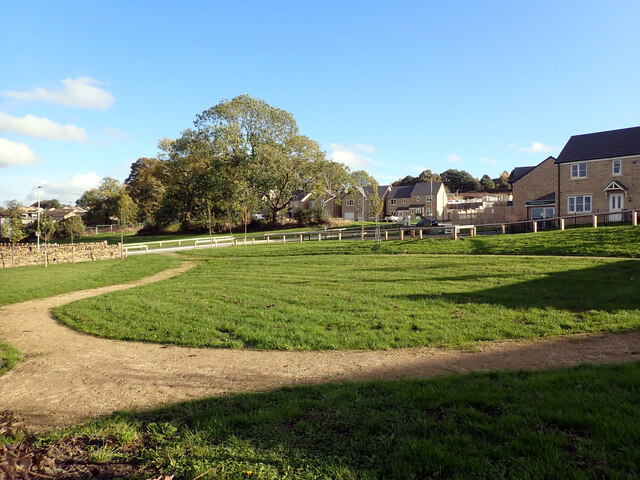
Wrose Brow Plantation is a stunning woodland area located in Yorkshire, England. Spread across a vast expanse, this plantation is a true gem for nature enthusiasts and outdoor adventurers. The plantation is situated on the outskirts of the charming village of Wrose, near the town of Shipley.

Wrose Brow Plantation is predominantly composed of various types of trees, including oak, beech, and birch. These trees create a dense canopy, providing a serene and peaceful environment throughout the year. The plantation is also home to a diverse range of flora and fauna, making it a haven for wildlife lovers. Visitors may catch glimpses of deer, squirrels, and a plethora of bird species as they wander through the woodland.

The plantation offers numerous walking trails and paths, allowing visitors to explore the beauty of the plantation at their own pace. These trails range in difficulty, catering to both casual strollers and avid hikers. The captivating scenery, with its vibrant colors in autumn and lush greenery in spring and summer, provides a picturesque backdrop for outdoor activities.

Wrose Brow Plantation is a popular spot for picnics and family outings, with designated areas for relaxation and recreation. In addition, the plantation offers educational programs and guided tours for those interested in learning about the local flora and fauna.

Overall, Wrose Brow Plantation is a magnificent woodland area that showcases the natural beauty of Yorkshire. With its enchanting trails, abundant wildlife, and tranquil atmosphere, it is a must-visit destination for anyone seeking a connection with nature.

If you have any feedback on the listing, please let us know in the comments section below.

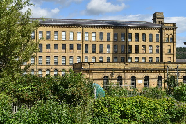
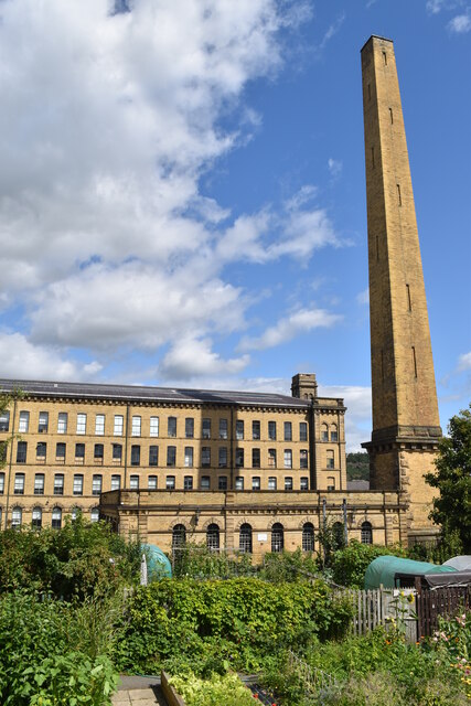
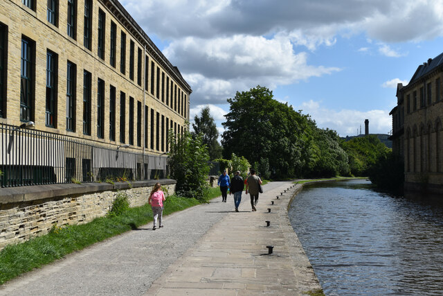
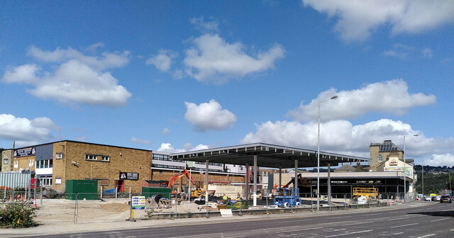
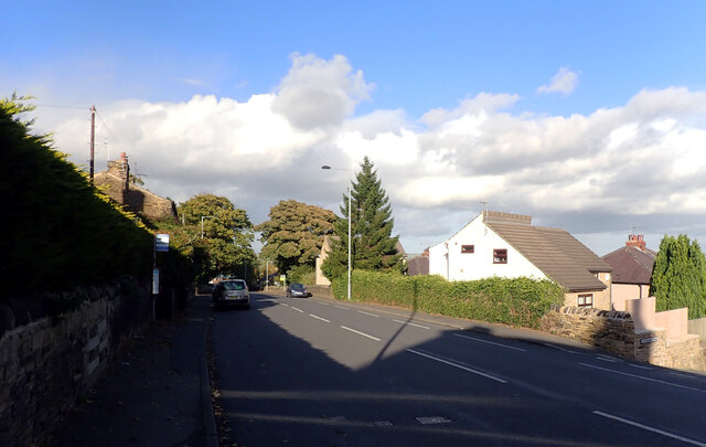
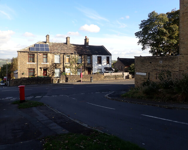
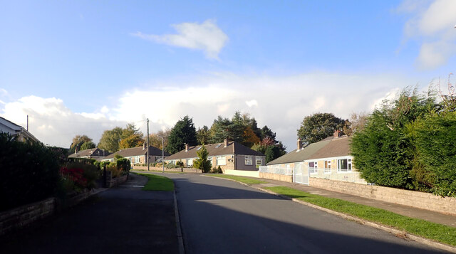
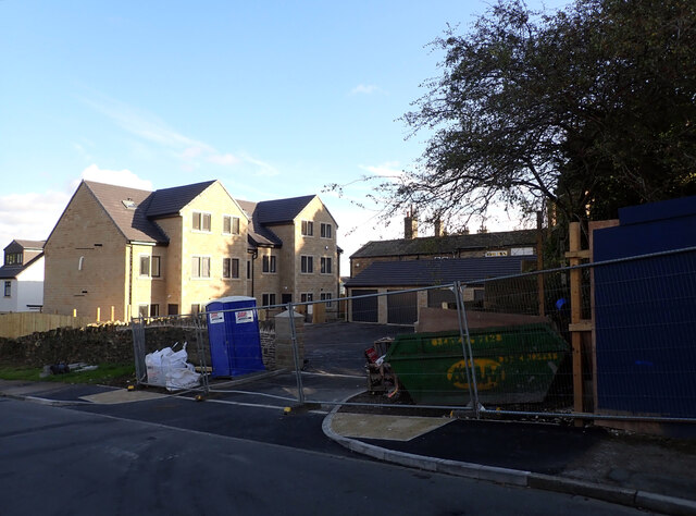
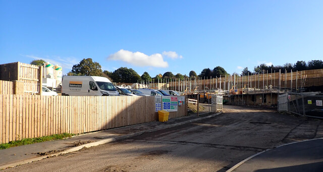
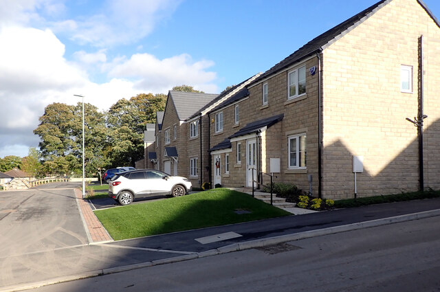
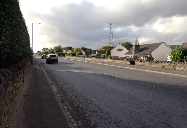
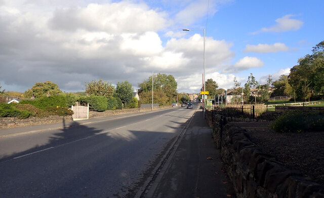
Wrose Brow Plantation Images

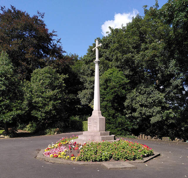
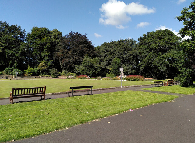
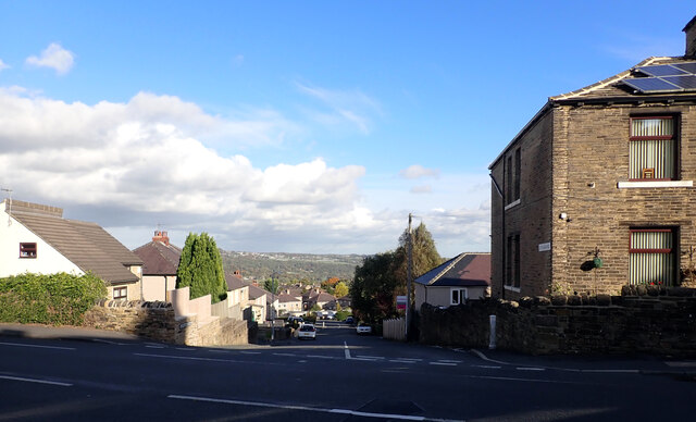
Images are sourced within 2km of 53.831747/-1.7597462 or Grid Reference SE1537. Thanks to Geograph Open Source API. All images are credited.

Salt's Mill seen across allotments from Caroline Street The shadow of the mill chimney can be seen on the further building.
Salt's Mill seen across allotments from Caroline Street
The shadow of the mill chimney can be seen on the further building.
Salt's Mill and chimney seen across allotments from Caroline Street Saltaire is a Victorian model village on the outskirts of Bradford, by the River Aire and the Leeds and Liverpool Canal The village takes its name from Titus Salt, a Victorian textile magnate and philanthropist who built a mill and a village to house his workers.

In December 2001, Saltaire was designated a World Heritage Site by UNESCO (<span class="nowrap"><a title="http://www.saltairevillage.info/acrobat/Saltaire_Streetplan_Nemine_Juvante_Publications.pdf" rel="nofollow ugc noopener" href="http://www.saltairevillage.info/acrobat/Saltaire_Streetplan_Nemine_Juvante_Publications.pdf">Link</a><img style="margin-left:2px;" alt="External link" title="External link - shift click to open in new window" src="https://s1.geograph.org.uk/img/external.png" width="10" height="10"/></span>  for a site plan of Saltaire showing the overall layout and the boundaries of the UNESCO World Heritage Site). The vast majority of buildings in the village have been individually designated as listed buildings by English Heritage.
Salt's Mill and chimney seen across allotments from Caroline Street
Saltaire is a Victorian model village on the outskirts of Bradford, by the River Aire and the Leeds and Liverpool Canal The village takes its name from Titus Salt, a Victorian textile magnate and philanthropist who built a mill and a village to house his workers. In December 2001, Saltaire was designated a World Heritage Site by UNESCO (LinkExternal link for a site plan of Saltaire showing the overall layout and the boundaries of the UNESCO World Heritage Site). The vast majority of buildings in the village have been individually designated as listed buildings by English Heritage.
Leeds and Liverpool Canal towpath beside the New Mill, Saltaire Saltaire is a Victorian model village on the outskirts of Bradford, by the River Aire and the Leeds and Liverpool Canal The village takes its name from Titus Salt, a Victorian textile magnate and philanthropist who built a mill and a village to house his workers.

In December 2001, Saltaire was designated a World Heritage Site by UNESCO (<span class="nowrap"><a title="http://www.saltairevillage.info/acrobat/Saltaire_Streetplan_Nemine_Juvante_Publications.pdf" rel="nofollow ugc noopener" href="http://www.saltairevillage.info/acrobat/Saltaire_Streetplan_Nemine_Juvante_Publications.pdf">Link</a><img style="margin-left:2px;" alt="External link" title="External link - shift click to open in new window" src="https://s1.geograph.org.uk/img/external.png" width="10" height="10"/></span>  for a site plan of Saltaire showing the overall layout and the boundaries of the UNESCO World Heritage Site). The vast majority of buildings in the village have been individually designated as listed buildings by English Heritage.
Leeds and Liverpool Canal towpath beside the New Mill, Saltaire
Saltaire is a Victorian model village on the outskirts of Bradford, by the River Aire and the Leeds and Liverpool Canal The village takes its name from Titus Salt, a Victorian textile magnate and philanthropist who built a mill and a village to house his workers. In December 2001, Saltaire was designated a World Heritage Site by UNESCO (LinkExternal link for a site plan of Saltaire showing the overall layout and the boundaries of the UNESCO World Heritage Site). The vast majority of buildings in the village have been individually designated as listed buildings by English Heritage.
Construction, Otley Road (A6038), Shipley
War memorial, Crowgill Park, Shipley
Crowgill Park, Shipley Part of the bowling green and the war memorial can be seen.
Crowgill Park, Shipley
Part of the bowling green and the war memorial can be seen.
Construction site on Otley Road This was snapped from a passing bus, but it seems another contributor took a clearer photo from a different angle the week before <a href="https://www.geograph.org.uk/photo/6946197">SE1437 : Construction, Otley Road (A6038), Shipley</a> as well as the demolition of the previous buildings at the start of the year <a href="https://www.geograph.org.uk/photo/6742695">SE1437 : Demolition site, Otley Road (A6038), Shipley</a>. 
 It looks like a new filling station being built, judging by the canopy.
Construction site on Otley Road
This was snapped from a passing bus, but it seems another contributor took a clearer photo from a different angle the week before SE1437 : Construction, Otley Road (A6038), Shipley as well as the demolition of the previous buildings at the start of the year SE1437 : Demolition site, Otley Road (A6038), Shipley. It looks like a new filling station being built, judging by the canopy.
Post box, Santa Monica Road, Idle, Bradford This post box can be seen in context in <a href="https://www.geograph.org.uk/photo/7002152">SE1737 : The junction of Santa Monica Road and Highfield Road, Idle, Bradford</a>.
Post box, Santa Monica Road, Idle, Bradford
Ley Fleaks Road seen from Highfield Road, Idle, Bradford
Highfield Road, Idle, Bradford
The junction of Santa Monica Road and Highfield Road, Idle, Bradford A close-up of the post box can be seen in <a href="https://www.geograph.org.uk/photo/7002148">SE1737 : Post box, Santa Monica Road, Idle, Bradford</a>.
The junction of Santa Monica Road and Highfield Road, Idle, Bradford
A close-up of the post box can be seen in SE1737 : Post box, Santa Monica Road, Idle, Bradford.
Santa Monica Road, Idle, Bradford
New housing development, Santa Monica Road, Idle, Bradford
Housing development, Crooked Lane, Thackley, Bradford
Little Cote View, Thackley, Bradford
Leeds Road (A657), Thackley, Bradford The A657 runs 8.4 miles from Saltaire to Bramley. <span class="nowrap"><a title="https://www.sabre-roads.org.uk/wiki/index.php?title=A657" rel="nofollow ugc noopener" href="https://www.sabre-roads.org.uk/wiki/index.php?title=A657">Link</a><img style="margin-left:2px;" alt="External link" title="External link - shift click to open in new window" src="https://s1.geograph.org.uk/img/external.png" width="10" height="10"/></span>
Leeds Road (A657), Thackley, Bradford
The A657 runs 8.4 miles from Saltaire to Bramley. LinkExternal link
New housing seen from Leeds Road (A657), Thackley, Bradford Houses on Little Cote View, Crooked Road and Brackendale Way are in the background.
New housing seen from Leeds Road (A657), Thackley, Bradford
Houses on Little Cote View, Crooked Road and Brackendale Way are in the background.
Show me another place!

Wrose Brow Plantation is located at Grid Ref: SE1537 (Lat: 53.831747, Lng: -1.7597462)

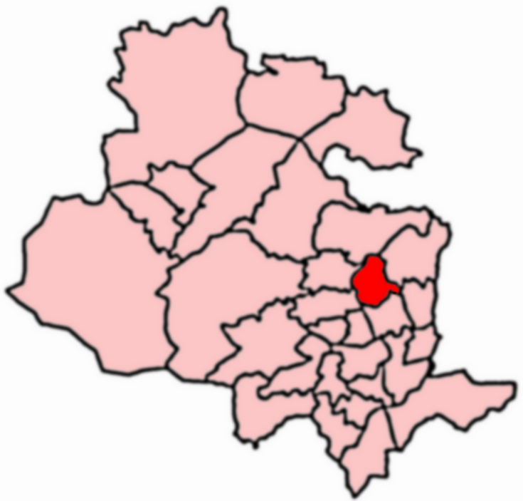
Division: West Riding

Unitary Authority: Bradford

Police Authority: West Yorkshire

What 3 Words

///invent.hope.expect. Near Shipley, West Yorkshire

Related Wikis

Windhill and Wrose

Windhill and Wrose (population 14,541 - 2001 UK census) is a ward within the City of Bradford Metropolitan District Council in the county of West Yorkshire...

Sunrise Radio (Yorkshire)

Sunrise Radio is an Asian radio station in Bradford, West Yorkshire, in the United Kingdom. == Availability == The station broadcasts 24 hours a day on...

BCB 106.6fm

BCB 106.6fm (106.6 FM) is a radio station that allows the community to get involved and record and broadcast their own programmes. Licensed to Bradford...

Wrose

Wrose is a village and civil parish in the City of Bradford metropolitan borough of West Yorkshire, England, about three miles north of Bradford city centre...

Nearby Amenities

Located within 500m of 53.831747,-1.7597462
Source: survey
Lat/Long: 53.8285869/-1.7556672
Source: survey
Lat/Long: 53.8287589/-1.7566388
Source: survey
Lat/Long: 53.8287801/-1.7574884
Source: survey
Lat/Long: 53.8287082/-1.7611855
Source: survey
Lat/Long: 53.8335623/-1.7538691
Source: survey
Lat/Long: 53.8332089/-1.7544566
Source: survey
Lat/Long: 53.8323863/-1.7553932
Source: survey
Lat/Long: 53.8320521/-1.7556916
Source: survey
Lat/Long: 53.8318477/-1.7558128
Source: survey
Lat/Long: 53.8316048/-1.756034
Source: survey
Lat/Long: 53.831373/-1.7563199
Source: survey
Lat/Long: 53.8309878/-1.7567759
Source: survey
Lat/Long: 53.8305819/-1.7571434
Source: survey
Lat/Long: 53.8336469/-1.7536021
Source: survey
Lat/Long: 53.8283619/-1.7548693
Source: survey
Lat/Long: 53.8288523/-1.7546557
Place Of Worship
Wrose Methodist Church
Addr City: Shipley
Addr Postcode: BD18 1NJ
Addr Street: Thornacre Road
Addr Village: Wrose
Denomination: methodist
Fhrs Id: 327855
Religion: christian
Source: survey
Lat/Long: 53.8285632/-1.7545007
Crossing
Crossing: traffic_signals
Source: survey
Lat/Long: 53.8287085/-1.7562689
Pub
The Bold Privateer
Addr City: Shipley
Addr Housenumber: 69
Addr Postcode: BD18 1HX
Addr Street: Wrose Road
Fhrs Id: 327923
Source: survey
Website: https://www.boldprivateer.co.uk
Lat/Long: 53.8289485/-1.7571623
Post Office
Wrose Post Office
Addr City: Shipley
Addr Housenumber: 57
Addr Postcode: BD18 1HU
Addr Street: Wrose Road
Brand: Post Office
Brand Wikidata: Q1783168
Opening Hours: Mo-Sa 09:00-17:30
Operator: Post Office
Operator Wikidata: Q1783168
Ref Pol Id: 11086
Source: survey
Website: https://www.postoffice.co.uk/branch-finder/2773066/wrose
Lat/Long: 53.8289465/-1.7584575
Source: survey
Lat/Long: 53.8287724/-1.7591237
Source: survey
Lat/Long: 53.8290989/-1.759513
Source: survey
Lat/Long: 53.8291409/-1.7600777
Source: survey
Lat/Long: 53.8291334/-1.7606386
Source: survey
Lat/Long: 53.8289438/-1.7591546
Source: survey
Lat/Long: 53.8287704/-1.7604253
Source: survey
Lat/Long: 53.829362/-1.7608816
Source: survey
Lat/Long: 53.8309632/-1.7596911
Source: survey
Lat/Long: 53.8308431/-1.7585822
Source: survey
Lat/Long: 53.830684/-1.7581091
Source: survey
Lat/Long: 53.8304602/-1.7577413
Source: survey
Lat/Long: 53.830384/-1.7573569
Source: survey
Lat/Long: 53.830353/-1.7595188
Source: survey
Lat/Long: 53.830363/-1.7587825
Source: survey
Lat/Long: 53.8304347/-1.7581117
Source: survey
Lat/Long: 53.8300293/-1.7573768
Source: survey
Lat/Long: 53.8296171/-1.7572587
Source: survey
Lat/Long: 53.828774/-1.7587129
Source: survey
Lat/Long: 53.8290192/-1.7587194
Source: survey
Lat/Long: 53.8293366/-1.7586313
Source: survey
Lat/Long: 53.8295076/-1.7585529
Source: survey
Lat/Long: 53.8295989/-1.757819
Turning Circle
Lat/Long: 53.8298335/-1.7599752
Source: survey
Lat/Long: 53.829321/-1.7600613
Source: survey
Lat/Long: 53.8292904/-1.7598675
Source: survey
Lat/Long: 53.8291555/-1.7597795
Source: survey
Lat/Long: 53.8300609/-1.7597623
Source: survey
Lat/Long: 53.8302287/-1.7574041
Highcroft Youth Centre
Building: public
Source: survey
Lat/Long: 53.8290722/-1.7621444
Crossing
Crossing: traffic_signals
Source: survey
Lat/Long: 53.8287594/-1.7608364
Pub
The Wrose Bull
Addr City: Shipley
Addr Housenumber: 35
Addr Postcode: BD18 1JF
Addr Street: Wrose Road
Addr Village: Wrose
Fhrs Id: 664382
Source: survey
Website: https://www.sizzlingpubs.co.uk/findapub/eastandwestmidlands/thewrosebullshipley/food#/
Wikimedia Commons: File:Wrose Bull public house, Wrose Road - geograph.org.uk - 5640053.jpg
Lat/Long: 53.8289764/-1.7609795
Source: survey
Lat/Long: 53.8303846/-1.7561208
Source: survey
Lat/Long: 53.8293808/-1.7573418
Source: survey
Lat/Long: 53.8293099/-1.7555319
Source: survey
Lat/Long: 53.8289881/-1.7552048
Source: survey
Lat/Long: 53.8298024/-1.7542804
Source: survey
Lat/Long: 53.8300579/-1.754277
Source: survey
Lat/Long: 53.830239/-1.7544553
Source: survey
Lat/Long: 53.8303846/-1.7546814
Source: survey
Lat/Long: 53.8304747/-1.7550631
Source: survey
Lat/Long: 53.8305262/-1.7556846
Source: survey
Lat/Long: 53.8297855/-1.7564168
Source: survey
Lat/Long: 53.8298891/-1.7552157
Source: survey
Lat/Long: 53.8295158/-1.7553902
Source: survey
Lat/Long: 53.8293242/-1.7537027
Source: survey
Lat/Long: 53.8297332/-1.7540618
Source: survey
Lat/Long: 53.8306291/-1.7542343
Source: survey
Lat/Long: 53.8309445/-1.7539072
Source: survey
Lat/Long: 53.8318325/-1.7534165
Source: survey
Lat/Long: 53.8310539/-1.7531112
Source: survey
Lat/Long: 53.8312083/-1.7526096
Source: survey
Lat/Long: 53.8309728/-1.7537502
Source: survey
Lat/Long: 53.830565/-1.7535757
Source: survey
Lat/Long: 53.8302985/-1.7533064
Source: survey
Lat/Long: 53.8302072/-1.7533129
Source: survey
Lat/Long: 53.8305097/-1.7526596
Source: survey
Lat/Long: 53.8317698/-1.7526772
Source: survey
Lat/Long: 53.8314982/-1.7573671
Source: survey
Lat/Long: 53.8317165/-1.7579978
Source: survey
Lat/Long: 53.832469/-1.7586236
Source: survey
Lat/Long: 53.8322195/-1.7560605
Source: survey
Lat/Long: 53.832562/-1.7560702
Source: survey
Lat/Long: 53.8331214/-1.7558381
Source: survey
Lat/Long: 53.8337265/-1.7548611
Source: survey
Lat/Long: 53.8339539/-1.7541569
Source: survey
Lat/Long: 53.8341596/-1.7538611
Source: survey
Lat/Long: 53.8341382/-1.7561412
Source: survey
Lat/Long: 53.8338827/-1.7565417
Source: survey
Lat/Long: 53.8332053/-1.7590159
Source: survey
Lat/Long: 53.8331831/-1.7592093
Source: survey
Lat/Long: 53.8286648/-1.7560564
Source: survey
Lat/Long: 53.8287741/-1.7569302
Source: survey
Lat/Long: 53.8287824/-1.757831
Source: survey
Lat/Long: 53.8279415/-1.7578229
Source: survey
Lat/Long: 53.8276805/-1.7579029
Crossing
Source: survey
Lat/Long: 53.8274725/-1.7585274
Source: survey
Lat/Long: 53.8277555/-1.7585278
Source: survey
Lat/Long: 53.8278487/-1.7585413
Source: survey
Lat/Long: 53.8287762/-1.7585435
Source: survey
Lat/Long: 53.8275351/-1.7585335
Source: survey
Lat/Long: 53.8287728/-1.7593215
Source: survey
Lat/Long: 53.8278954/-1.7593361
Source: survey
Lat/Long: 53.8287744/-1.7601284
Source: survey
Lat/Long: 53.8278936/-1.7600965
Source: survey
Lat/Long: 53.8275673/-1.7604979
Source: survey
Lat/Long: 53.8277987/-1.7603937
Source: survey
Lat/Long: 53.8278162/-1.7589892
Source: survey
Lat/Long: 53.8278041/-1.7600941
Source: survey
Lat/Long: 53.8275642/-1.7602048
Source: survey
Lat/Long: 53.8275605/-1.7605698
Source: survey
Lat/Long: 53.8309199/-1.7571427
Source: survey
Lat/Long: 53.8307387/-1.756986
Source: survey
Lat/Long: 53.8309833/-1.7575279
Source: survey
Lat/Long: 53.8312137/-1.7584181
Source: survey
Lat/Long: 53.831481/-1.7590297
Source: survey
Lat/Long: 53.8316147/-1.7591316
Source: survey
Lat/Long: 53.8316869/-1.7568871
Source: survey
Lat/Long: 53.8313477/-1.7551555
Source: survey
Lat/Long: 53.8315278/-1.7548746
Source: survey
Lat/Long: 53.8309129/-1.7568237
Source: survey
Lat/Long: 53.8308819/-1.7563045
Source: survey
Lat/Long: 53.8308342/-1.7549924
Source: survey
Lat/Long: 53.8319311/-1.754264
Source: survey
Lat/Long: 53.8308648/-1.7555616
Source: survey
Lat/Long: 53.8311168/-1.7552437
Barrier: stile
Source: survey
Lat/Long: 53.8315366/-1.7642112
Source: survey
Lat/Long: 53.831153/-1.7566159
Source: survey
Lat/Long: 53.8314647/-1.7567417
Source: landsat
Lat/Long: 53.8278787/-1.7605347
Turning Circle
Source: survey
Lat/Long: 53.8351478/-1.7587653
Costcutter
Addr City: Shipley
Addr Housenumber: 196-198
Addr Postcode: BD18 1EA
Addr Street: Leeds Road
Brand: Costcutter
Brand Wikidata: Q5175072
Brand Wikipedia: en:Costcutter
Contact Website: https://store-locator.costcutter.co.uk/costcutter-a8474a05055c
Fhrs Id: 327591
Shop: convenience
Source: survey
Source Addr: FHRS Open Data
Lat/Long: 53.8361132/-1.7601318
Pub
The Woodend
Addr City: Shipley
Addr Housenumber: 1
Addr Postcode: BD18 2PA
Addr Street: Woodend Crescent
Contact Phone: +44 1274 809468
Fhrs Id: 327911
Source: survey
Source Addr: FHRS Open Data
Lat/Long: 53.8351642/-1.7620408
Source: landsat
Lat/Long: 53.8329897/-1.7594279
Source: landsat
Lat/Long: 53.8326847/-1.7600637
Turning Circle
Lat/Long: 53.8343169/-1.7575069
Bus Stop
Leeds Road West Royd Avenue
Bench: yes
Bus: yes
Local Ref: 45016509
Naptan AtcoCode: 450016509
Naptan Bearing: SW
Naptan CommonName: Leeds Road West Royd Avenue
Naptan Crossing: West Royd Avenue
Naptan Indicator: Stop 45016509
Naptan Notes: New TF shelter and 3P case fitted - awaiting survey
Naptan PlusbusZoneRef: LEEDS
Naptan ShortCommonName: West Royd Avenue
Naptan Street: Leeds Road
Public Transport: platform
Shelter: yes
Source: naptan_import
Lat/Long: 53.836163/-1.7603603
Speed Camera
Lat/Long: 53.8360122/-1.7610411
Bus Stop
Wrose Brow Road West Royd
Bus: yes
Local Ref: 45017121
Naptan AtcoCode: 450017121
Naptan Bearing: SE
Naptan CommonName: Wrose Brow Road West Royd
Naptan Crossing: Woodend Crecent
Naptan Indicator: Stop 45017121
Naptan Landmark: Woodend PH
Naptan PlusbusZoneRef: LEEDS
Naptan ShortCommonName: Wood End Crescent
Naptan Street: Wrose Brow Road
Public Transport: platform
Source: naptan_import
Lat/Long: 53.835089/-1.7622723
Barrier: bollard
Bollard: fixed
Lat/Long: 53.8349897/-1.7635094
Turning Circle
Source: survey
Lat/Long: 53.8343568/-1.7589626
Turning Circle
Source: survey
Lat/Long: 53.8339757/-1.7584735
Barrier: bollard
Bollard: fixed
Lat/Long: 53.8341855/-1.7654835
Bus Stop
West Royd Road West Royd Mount
Bus: yes
Local Ref: 45024493
Naptan AtcoCode: 450024493
Naptan Bearing: S
Naptan CommonName: West Royd Road West Royd Mount
Naptan Crossing: Adj West Royd Mount
Naptan Indicator: Stop 45024493
Naptan Landmark: Unknown
Naptan PlusbusZoneRef: LEEDS
Naptan ShortCommonName: West Royd
Naptan Street: West Royd Road
Public Transport: platform
Source: naptan_import;survey
Lat/Long: 53.8345203/-1.7558811
Bus Stop
West Royd Road West Royd
Bus: yes
Local Ref: 45051459
Naptan AtcoCode: 450051459
Naptan Bearing: N
Naptan BusStopType: CUS
Naptan CommonName: West Royd Road West Royd
Naptan Indicator: Stop 45051459
Naptan PlusbusZoneRef: LEEDS
Naptan ShortCommonName: West Royd
Naptan Street: West Royd Road
Public Transport: platform
Source: naptan_import
Lat/Long: 53.8345342/-1.7560634
Source: landsat
Lat/Long: 53.8292826/-1.7650299
Source: landsat
Lat/Long: 53.8301225/-1.764589
Source: landsat
Lat/Long: 53.8307423/-1.7639586
Source: landsat
Lat/Long: 53.8313901/-1.7630277
Source: landsat
Lat/Long: 53.8317689/-1.7623166
Source: landsat
Lat/Long: 53.8332936/-1.75983
Source: landsat
Lat/Long: 53.8329714/-1.7592581
Source: landsat
Lat/Long: 53.8322161/-1.7578744
Source: landsat
Lat/Long: 53.8325182/-1.7572542
Source: landsat
Lat/Long: 53.8327724/-1.7570934
Source: landsat
Lat/Long: 53.8337692/-1.7561291
Source: landsat
Lat/Long: 53.8336022/-1.7542872
Source: landsat
Lat/Long: 53.8327126/-1.7562258
Source: landsat
Lat/Long: 53.8331077/-1.7551826
Source: landsat
Lat/Long: 53.8335054/-1.753756
Source: landsat
Lat/Long: 53.8291123/-1.7647647
Source: landsat
Lat/Long: 53.8298431/-1.7643268
Source: landsat
Lat/Long: 53.8305538/-1.7637487
Source: landsat
Lat/Long: 53.8308919/-1.7626502
Source: landsat
Lat/Long: 53.8311995/-1.7619426
Source: landsat
Lat/Long: 53.8313178/-1.7604964
Source: landsat
Lat/Long: 53.8311618/-1.7583494
Source: landsat
Lat/Long: 53.8309087/-1.7576329
Source: landsat
Lat/Long: 53.8306111/-1.7572468
Source: landsat
Lat/Long: 53.8310847/-1.7568543
Source: landsat
Lat/Long: 53.8323549/-1.7565817
Source: landsat
Lat/Long: 53.829097/-1.7639586
Source: landsat
Lat/Long: 53.8290512/-1.7633089
Source: landsat
Lat/Long: 53.8303873/-1.7632514
Source: landsat
Lat/Long: 53.8295624/-1.7655262
Source: landsat
Lat/Long: 53.8301055/-1.7653679
Source: landsat
Lat/Long: 53.8302639/-1.7652906
Source: landsat
Lat/Long: 53.8314713/-1.7649136
Source: landsat
Lat/Long: 53.8319988/-1.7641266
Source: landsat
Lat/Long: 53.8328671/-1.7631739
Source: landsat
Lat/Long: 53.8330885/-1.7626026
Source: landsat
Lat/Long: 53.8346973/-1.7624972
Source: landsat
Lat/Long: 53.8337017/-1.7610072
Source: landsat
Lat/Long: 53.8336768/-1.7608026
Source: landsat
Lat/Long: 53.8338039/-1.7605626
Source: landsat
Lat/Long: 53.8358107/-1.7620003
Source: landsat
Lat/Long: 53.8355325/-1.7631341
Source: landsat
Lat/Long: 53.835513/-1.7581147
Source: landsat
Lat/Long: 53.8352693/-1.7582234
Source: landsat
Lat/Long: 53.834693/-1.7574043
Source: landsat
Lat/Long: 53.8342923/-1.756809
Source: landsat
Lat/Long: 53.8336081/-1.7578373
Source: landsat
Lat/Long: 53.8345383/-1.7565328
Source: landsat
Lat/Long: 53.8332839/-1.7592699
Source: landsat
Lat/Long: 53.8300023/-1.7628067
Source: landsat
Lat/Long: 53.8296124/-1.7631299
Source: landsat
Lat/Long: 53.8287021/-1.7605206
Source: landsat
Lat/Long: 53.8278689/-1.7589229
Source: landsat
Lat/Long: 53.832156/-1.7566291
Source: landsat
Lat/Long: 53.8316984/-1.7555459
Source: landsat
Lat/Long: 53.83167/-1.7549525
Source: landsat
Lat/Long: 53.8326205/-1.7542276
Source: landsat
Lat/Long: 53.8324348/-1.7537338
Source: landsat
Lat/Long: 53.8321527/-1.7536979
Source: landsat
Lat/Long: 53.8321125/-1.7531156
Telephone
Booth: KX100
Covered: booth
Operator: BT
Source: survey
Lat/Long: 53.828716/-1.7605962
Turning Circle
Lat/Long: 53.8303594/-1.7669222
Highcroft Youth Centre
Building: public
Lat/Long: 53.8289827/-1.7624928
Post Box
Operator: Post Office
Operator Wikidata: Q1783168
Post Box Type: pillar
Ref: BD18 910
Lat/Long: 53.8288577/-1.7584764
Bus Stop
Wrose Road Oakdale Drive
Bus: yes
Local Ref: 45016676
Naptan AtcoCode: 450016676
Naptan Bearing: E
Naptan CommonName: Wrose Road Oakdale Drive
Naptan Crossing: Oakdale Drive
Naptan Indicator: Stop 45016676
Naptan Landmark: Public Library
Naptan PlusbusZoneRef: LEEDS
Naptan ShortCommonName: Oakdale Drive
Naptan Street: Wrose Road
Public Transport: platform
Source: naptan_import
Lat/Long: 53.8288238/-1.7568909
Bus Stop
Wrose Road Oakdale Grove
Bus: yes
Local Ref: 45016677
Naptan AtcoCode: 450016677
Naptan Bearing: W
Naptan CommonName: Wrose Road Oakdale Grove
Naptan Crossing: Oakdale Grove
Naptan Indicator: Stop 45016677
Naptan Landmark: Post Office
Naptan PlusbusZoneRef: LEEDS
Naptan ShortCommonName: Wrose Garage
Naptan Street: Wrose Road
Public Transport: platform
Source: naptan_import
Lat/Long: 53.8287453/-1.7580764
Bus Stop
Wrose Road Low Ash Crescent
Bus: yes
Local Ref: 45016678
Naptan AtcoCode: 450016678
Naptan Bearing: E
Naptan CommonName: Wrose Road Low Ash Crescent
Naptan Crossing: Low Ash Crescent
Naptan Indicator: Stop 45016678
Naptan Landmark: Garage
Naptan PlusbusZoneRef: LEEDS
Naptan ShortCommonName: Low Ash Crescent
Naptan Street: Wrose Road
Public Transport: platform
Source: naptan_import
Lat/Long: 53.8288278/-1.7588964
Bus Stop
Wrose Road Wrose Grove
Bus: yes
Local Ref: 45016679
Naptan AtcoCode: 450016679
Naptan Bearing: W
Naptan CommonName: Wrose Road Wrose Grove
Naptan Crossing: Wrose Grove
Naptan Indicator: Stop 45016679
Naptan Landmark: Saint Anthony-s Gardens
Naptan PlusbusZoneRef: LEEDS
Naptan ShortCommonName: Wrose Grove
Naptan Street: Wrose Road
Public Transport: platform
Source: naptan_import
Lat/Long: 53.8287311/-1.7599605
Bus Stop
Wrose Road Snowden Road
Bus: yes
Local Ref: 45016680
Naptan AtcoCode: 450016680
Naptan Bearing: NE
Naptan CommonName: Wrose Road Snowden Road
Naptan Crossing: Snowden Road
Naptan Indicator: Stop 45016680
Naptan Landmark: Primary School
Naptan PlusbusZoneRef: LEEDS
Naptan ShortCommonName: Snowden Road
Naptan Street: Wrose Road
Public Transport: platform
Source: naptan_import
Lat/Long: 53.8286445/-1.7616323
Bus Stop
Wrose Road Carr Lane
Bus: yes
Local Ref: 45016681
Naptan AtcoCode: 450016681
Naptan Bearing: N
Naptan CommonName: Wrose Road Carr Lane
Naptan Crossing: Carr Lane
Naptan Indicator: Stop 45016681
Naptan PlusbusZoneRef: LEEDS
Naptan ShortCommonName: Carr Lane
Naptan Street: Wrose Road
Public Transport: platform
Source: naptan_import
Lat/Long: 53.8278373/-1.7624877
Bus Stop
Wrose Road Carr Lane
Bus: yes
Local Ref: 45016682
Naptan AtcoCode: 450016682
Naptan Bearing: S
Naptan CommonName: Wrose Road Carr Lane
Naptan Crossing: Carr Lane
Naptan Indicator: Stop 45016682
Naptan PlusbusZoneRef: LEEDS
Naptan ShortCommonName: Carr Lane
Naptan Street: Wrose Road
Public Transport: platform
Source: naptan_import
Lat/Long: 53.8277738/-1.7622145
Bus Stop
Carr Lane Hall Lane
Bus: yes
Local Ref: 45017106
Naptan AtcoCode: 450017106
Naptan Bearing: SE
Naptan CommonName: Carr Lane Hall Lane
Naptan Crossing: Hall Lane
Naptan Indicator: Stop 45017106
Naptan PlusbusZoneRef: LEEDS
Naptan ShortCommonName: Hall Lane
Naptan Street: Carr Lane
Naptan Verified: no
Public Transport: platform
Ref: 450 17106
Source: naptan_import
Lat/Long: 53.8334371/-1.7668063
Bus Stop
Carr Lane Park Road
Bus: yes
Local Ref: 45017107
Naptan AtcoCode: 450017107
Naptan Bearing: SE
Naptan CommonName: Carr Lane Park Road
Naptan Crossing: Park Road
Naptan Indicator: Stop 45017107
Naptan Landmark: Windhill Conservative Club
Naptan PlusbusZoneRef: LEEDS
Naptan ShortCommonName: Park Road
Naptan Street: Carr Lane
Naptan Verified: no
Public Transport: platform
Ref: 450 17107
Source: naptan_import
Lat/Long: 53.8324815/-1.7656675
Bus Stop
Carr Lane Oakfield Terrace
Bus: yes
Local Ref: 45017108
Naptan AtcoCode: 450017108
Naptan Bearing: NW
Naptan CommonName: Carr Lane Oakfield Terrace
Naptan Crossing: Oakfield Terrace
Naptan Indicator: Stop 45017108
Naptan Notes: New TF shelter and 3P case fitted awaiting survey
Naptan PlusbusZoneRef: LEEDS
Naptan ShortCommonName: Oakfield Terrace
Naptan Street: Carr Lane
Naptan Verified: no
Public Transport: platform
Ref: 450 17108
Source: naptan_import
Lat/Long: 53.8323017/-1.7656533
Bus Stop
Carr Lane Prospect Mount
Bus: yes
Local Ref: 45017109
Naptan AtcoCode: 450017109
Naptan Bearing: S
Naptan CommonName: Carr Lane Prospect Mount
Naptan Crossing: Prospect Mount
Naptan Indicator: Stop 45017109
Naptan PlusbusZoneRef: LEEDS
Naptan ShortCommonName: Prospect Mount
Naptan Street: Carr Lane
Public Transport: platform
Source: naptan_import
Lat/Long: 53.8302966/-1.765315
Bus Stop
Carr Lane Prospect Mount
Bus: yes
Local Ref: 45017110
Naptan AtcoCode: 450017110
Naptan Bearing: N
Naptan CommonName: Carr Lane Prospect Mount
Naptan Crossing: Prospect Mount
Naptan Indicator: Stop 45017110
Naptan PlusbusZoneRef: LEEDS
Naptan ShortCommonName: Prospect Mount
Naptan Street: Carr Lane
Public Transport: platform
Source: naptan_import
Lat/Long: 53.8301892/-1.7655131
Bus Stop
Carr Lane Hollin Lane
Bus: yes
Local Ref: 45017111
Naptan AtcoCode: 450017111
Naptan Bearing: NW
Naptan CommonName: Carr Lane Hollin Lane
Naptan Crossing: Hollin Lane
Naptan Indicator: Stop 45017111
Naptan PlusbusZoneRef: LEEDS
Naptan ShortCommonName: Hollin Lane
Naptan Street: Carr Lane
Naptan Verified: no
Public Transport: platform
Ref: 450 17111
Source: survey
Lat/Long: 53.8286693/-1.765081
Bus Stop
Wrose Brow Road Raistrick Way
Bus: yes
Local Ref: 45017122
Naptan AtcoCode: 450017122
Naptan Bearing: NW
Naptan CommonName: Wrose Brow Road Raistrick Way
Naptan Crossing: Raistrick Way
Naptan Indicator: Stop 45017122
Naptan PlusbusZoneRef: LEEDS
Naptan ShortCommonName: Raistrick Way
Naptan Street: Wrose Brow Road
Naptan Verified: no
Public Transport: platform
Ref: 450 17122
Shelter: yes
Source: naptan_import
Lat/Long: 53.833432/-1.7599944
Bus Stop
Wrose Brow Road West Royd
Bus: yes
Local Ref: 45017123
Naptan AtcoCode: 450017123
Naptan Bearing: NE
Naptan CommonName: Wrose Brow Road West Royd
Naptan Crossing: Mires Beck Close
Naptan Indicator: Stop 45017123
Naptan Landmark: Woodhead Middle School
Naptan PlusbusZoneRef: LEEDS
Naptan ShortCommonName: Windhill School
Naptan Street: Wrose Brow Road
Naptan Verified: no
Public Transport: platform
Ref: 450 17123
Source: naptan_import
Lat/Long: 53.8335714/-1.7577903
Bus Stop
Leeds Road Wrose Brow Road
Bench: yes
Bus: yes
Local Ref: 45016510
Naptan AtcoCode: 450016510
Naptan Bearing: E
Naptan CommonName: Leeds Road Wrose Brow Road
Naptan Crossing: Wrose Brow Roadf
Naptan Indicator: Stop 45016510
Naptan Landmark: Filling Station
Naptan PlusbusZoneRef: LEEDS
Naptan ShortCommonName: Wrose Brow Road
Naptan Street: Leeds Road
Naptan Verified: no
Public Transport: platform
Shelter: yes
Source: naptan_import
Lat/Long: 53.8355236/-1.7631736
Bus Stop
Leeds Road Wrose Brow Road
Bus: yes
Local Ref: 45016511
Naptan AtcoCode: 450016511
Naptan Bearing: W
Naptan CommonName: Leeds Road Wrose Brow Road
Naptan Crossing: Wrose Brow Road
Naptan Indicator: Stop 45016511
Naptan Landmark: Petrol Station
Naptan PlusbusZoneRef: LEEDS
Naptan ShortCommonName: Wrose Brow Road
Naptan Street: Leeds Road
Naptan Verified: no
Public Transport: platform
Source: naptan_import
Lat/Long: 53.8353711/-1.7633568
Bus Stop
High Ash Spring Hill
Bus: yes
Local Ref: 45025367
Naptan AtcoCode: 450025367
Naptan Bearing: SE
Naptan CommonName: High Ash Spring Hill
Naptan Crossing: Nr-At Spring Hill
Naptan Indicator: Stop 45025367
Naptan PlusbusZoneRef: LEEDS
Naptan ShortCommonName: Spring Hill
Naptan Street: High Ash
Naptan Verified: no
Public Transport: platform
Source: naptan_import
Lat/Long: 53.8298945/-1.7530559
Bus Stop
Carr Lane Hollin Lane
Bus: yes
Naptan AtcoCode: 450028906
Naptan Bearing: SE
Naptan CommonName: Carr Lane Hollin Lane
Naptan Crossing: Hollin Lane
Naptan Landmark: Unknown
Naptan ShortCommonName: Carr Ln Hollin Ln
Naptan Street: Carr Lane
Naptan Verified: no
Public Transport: platform
Ref: 450 28906
Source: naptan_import
Lat/Long: 53.8284881/-1.7644757
Wrose Brow Road West Royd
Local Ref: 45050509
Naptan AtcoCode: 450050509
Naptan Bearing: NW
Naptan BusStopType: CUS
Naptan CommonName: Wrose Brow Road West Royd
Naptan Indicator: Stop 45050509
Naptan PlusbusZoneRef: LEEDS
Naptan ShortCommonName: Wood End Cres
Naptan Street: Wrose Brow Road
Naptan Verified: no
Source: naptan_import
Lat/Long: 53.8350277/-1.7624014
Bus Stop
Wrose Brow Road Raistrick Way
Bench: no
Bin: no
Bus: yes
Local Ref: 45050510
Naptan AtcoCode: 450050510
Naptan Bearing: SE
Naptan BusStopType: CUS
Naptan CommonName: Wrose Brow Road Raistrick Way
Naptan Indicator: Stop 45050510
Naptan PlusbusZoneRef: LEEDS
Naptan ShortCommonName: Raistrick Way
Naptan Street: Wrose Brow Road
Naptan Verified: no
Public Transport: platform
Ref: 450 17122
Shelter: no
Source: naptan_import
Tactile Paving: no
Lat/Long: 53.8334857/-1.7598725
Bus Stop
Wrose Brow Road Windhill First School
Bus: yes
Local Ref: 45050511
Naptan AtcoCode: 450050511
Naptan Bearing: SW
Naptan BusStopType: CUS
Naptan CommonName: Wrose Brow Road Windhill First School
Naptan Indicator: Stop 45050511
Naptan PlusbusZoneRef: LEEDS
Naptan ShortCommonName: Browfoot
Naptan Street: Wrose Brow Road
Naptan Verified: no
Public Transport: platform
Ref: 450 17123
Source: naptan_import
Lat/Long: 53.8335173/-1.757745
Bus Stop
High Ash Wrose
Bus: yes
Local Ref: 45051533
Naptan AtcoCode: 450051533
Naptan Bearing: NW
Naptan BusStopType: CUS
Naptan CommonName: High Ash Wrose
Naptan Indicator: Stop 45051533
Naptan PlusbusZoneRef: LEEDS
Naptan ShortCommonName: Spring Hill
Naptan Street: High Ash
Naptan Verified: no
Public Transport: platform
Source: naptan_import
Lat/Long: 53.8298767/-1.7531471
Kindergarten
Wrose Rascals
Designation: Childminder
Lat/Long: 53.8301204/-1.7578151
Turning Circle
Lat/Long: 53.8362076/-1.7589189
Turning Circle
Lat/Long: 53.8354784/-1.7604028
Source: landsat
Lat/Long: 53.8355495/-1.756158
Parking
Lat/Long: 53.8328322/-1.765259
Post Box
Operator: Royal Mail
Operator Wikidata: Q638098
Post Box Type: wall
Royal Cypher: VR
Royal Cypher Wikidata: Q33102356
Source: survey
Lat/Long: 53.8325174/-1.7657117
Crossing
Lat/Long: 53.8284844/-1.7621118
Crossing
Lat/Long: 53.8324078/-1.7655837
Crossing
Lat/Long: 53.8325792/-1.7657698
Crossing
Lat/Long: 53.833228/-1.7665691
Crossing
Lat/Long: 53.8329991/-1.766281
Crossing
Lat/Long: 53.8277104/-1.758529
Crossing
Lat/Long: 53.8284232/-1.7548222
Crossing
Lat/Long: 53.8288479/-1.7587149
Crossing
Crossing: unmarked
Crossing Island: no
Tactile Paving: yes
Lat/Long: 53.8288631/-1.7574814
Crossing
Lat/Long: 53.8288229/-1.7591328
Crossing
Lat/Long: 53.8288201/-1.7604522
Crossing
Source: landsat
Lat/Long: 53.8285649/-1.7614513
Source: landsat
Lat/Long: 53.8296483/-1.7630127
Generator Source: solar
Power: generator
Lat/Long: 53.8351344/-1.7596927
Source: landsat
Lat/Long: 53.8344015/-1.7559528
Fast Food
Fresh Sandwich Deli
Addr City: Shipley
Addr Housenumber: 55
Addr Postcode: BD18 1HU
Addr Street: Wrose Road
Cuisine: sandwich
Fhrs Id: 719538
Source Addr: FHRS Open Data
Lat/Long: 53.8289489/-1.7585547
Generator Method: photovoltaic
Generator Output Electricity: yes
Generator Source: solar
Generator Type: solar_photovoltaic_panel
Power: generator
Lat/Long: 53.8311716/-1.7555208
Source: landsat
Lat/Long: 53.8346051/-1.7545134
Source: landsat
Lat/Long: 53.8345093/-1.7539327
Source: landsat
Lat/Long: 53.8340845/-1.7546454
Source: landsat
Lat/Long: 53.8317448/-1.7572097
Source: landsat
Lat/Long: 53.8324071/-1.7567247
Source: landsat
Lat/Long: 53.8320466/-1.7573162
Source: landsat
Lat/Long: 53.833601/-1.7538485
Source: landsat
Lat/Long: 53.8345383/-1.7565328
Source: landsat
Lat/Long: 53.8340237/-1.7561542
Source: landsat
Lat/Long: 53.8331761/-1.7589425
Source: landsat
Lat/Long: 53.8331385/-1.759317
Source: landsat
Lat/Long: 53.8330154/-1.7606624
Source: landsat
Lat/Long: 53.8311065/-1.7611652
Source: landsat
Lat/Long: 53.8329714/-1.7592581
Source: landsat
Lat/Long: 53.8332285/-1.7599596
Source: landsat
Lat/Long: 53.8341709/-1.7637733
Source: landsat
Lat/Long: 53.8285349/-1.7620445
Source: landsat
Lat/Long: 53.8298431/-1.7643268
Source: landsat
Lat/Long: 53.8300958/-1.7631607
Source: landsat
Lat/Long: 53.8300023/-1.7628067
Source: landsat
Lat/Long: 53.8287284/-1.7604227
Fast Food
Papa John's
Addr City: Shipley
Addr Housenumber: 105
Addr Postcode: BD18 1HX
Addr Street: Wrose Road
Addr Unit: Unit 3
Brand: Papa John's
Brand Wikidata: Q2759586
Cuisine: pizza
Fhrs Id: 769785
Takeaway: yes
Website: https://www.papajohns.co.uk/stores/bradford-shipley
Lat/Long: 53.8289381/-1.7559685
The Co-operative Food
Addr City: Shipley
Addr Housenumber: 105
Addr Postcode: BD18 1HX
Addr Street: Wrose Road
Addr Village: Wrose
Brand: The Co-operative Food
Brand Wikidata: Q107617274
Fhrs Id: 1683019
Operator: The Co-operative Group
Operator Wikidata: Q117202
Shop: supermarket
Source Addr: FHRS Open Data
Website: https://www.coop.co.uk/store-finder/BD18-1HX/unit-1-105-wrose-road
Lat/Long: 53.8290165/-1.7561804
Source: survey
Lat/Long: 53.8293792/-1.760804
Source: survey
Lat/Long: 53.8287791/-1.7573971
Give Way
Direction: backward
Lat/Long: 53.8276099/-1.7623937
The data included in this document is from www.openstreetmap.org. The data is made available under ODbL.

Have you been to Wrose Brow Plantation?

Leave your review of Wrose Brow Plantation below (or comments, questions and feedback).