Wollescote

Settlement in Worcestershire

England

Wollescote

Stourbridge Shuttle towards Stourbridge Junction
Stourbridge Shuttle towards Stourbridge Junction Credit: Ian S

Wollescote is a small suburban village situated in the county of Worcestershire, England. It is located about 2 miles west of Stourbridge town centre and is part of the wider Dudley Metropolitan Borough.

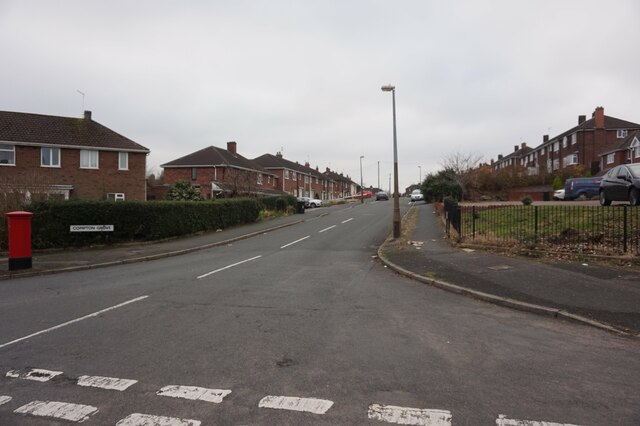
The village is primarily residential, with a mix of detached and semi-detached houses, as well as a few apartment complexes. The area is known for its quiet and peaceful atmosphere, making it an attractive place to live for families and retirees alike. Wollescote also benefits from its close proximity to the nearby Clent Hills, offering residents easy access to beautiful natural surroundings.

In terms of amenities, Wollescote has a few local shops, a post office, and a small supermarket, providing essentials for its residents. The village also benefits from several schools, including Wollescote Primary School, which serves the local community.

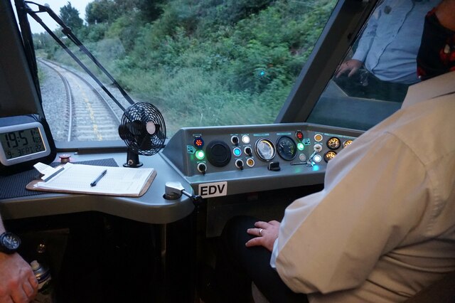
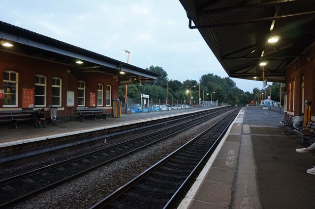
Transportation in Wollescote is well-connected, with regular bus services running through the village, providing easy access to nearby towns and cities. The closest railway station is Stourbridge Junction, which offers direct train services to Birmingham and Worcester. Additionally, the village benefits from good road connections, with the A491 running through the area, providing access to the wider road network.

Overall, Wollescote offers a peaceful and picturesque setting for residents, with convenient access to amenities and transportation links.

If you have any feedback on the listing, please let us know in the comments section below.
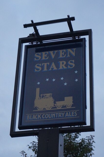
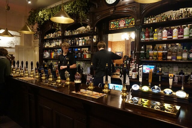
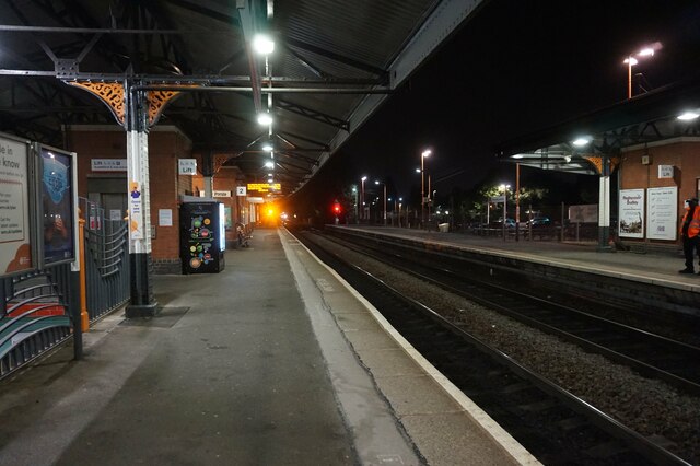
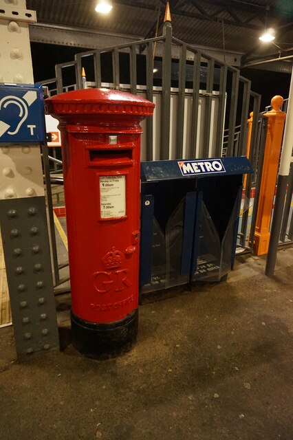
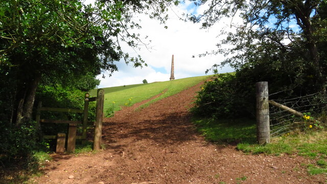
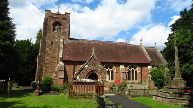
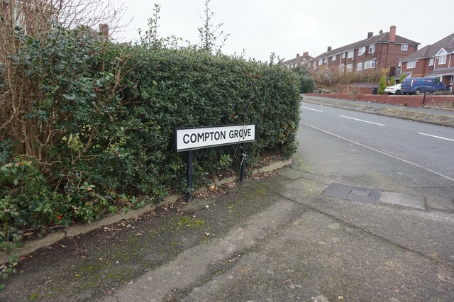
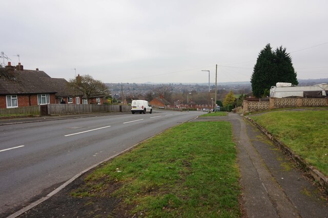
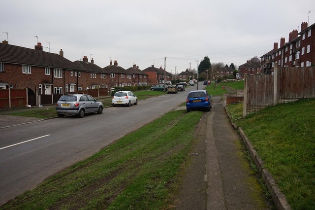
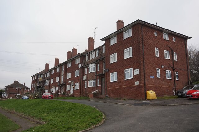
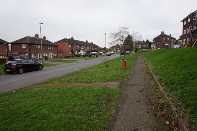
Wollescote Images

Images are sourced within 2km of 52.448965/-2.1129135 or Grid Reference SO9283. Thanks to Geograph Open Source API. All images are credited.

Stourbridge Shuttle towards Stourbridge Junction
Stourbridge Junction Train Station, Stourbridge
Stourbridge Shuttle at Stourbridge Junction
Station approach road leading to Brook Road, Stourbridge
The Seven Stars public house On Brook Road, Stourbridge.
The Seven Stars public house
On Brook Road, Stourbridge.
The Seven Stars public house On Brook Road, Stourbridge.
The Seven Stars public house
On Brook Road, Stourbridge.
The Seven Stars public house On Brook Road, Stourbridge.
The Seven Stars public house
On Brook Road, Stourbridge.
Stourbridge Junction Train Station, Stourbridge
Postbox at Stourbridge Junction Train Station, Stourbridge
Path leading up towards Wychbury Obelisk from Monument Lane
Pedmore - St Peter's Church
Compton Grove off Meres Road, Halesowen
Meres Road, Halesowen
Tree Acre Grove off Meres Road, Halesowen
Caslon Flats on Tree Acre Grove, Halesowen
Tree Acre Grove, Halesowen
Show me another place!

Wollescote is located at Grid Ref: SO9283 (Lat: 52.448965, Lng: -2.1129135)

Unitary Authority: Dudley

Police Authority: West Midlands

What 3 Words

///waters.basis.urban. Near Stourbridge, West Midlands

Nearby Locations

The Dingle Wollescote

Related Wikis

Wollescote

Wollescote is a residential area of Stourbridge, West Midlands, England . It is administered by the Metropolitan Borough of Dudley. It falls within the...

Pedmore High School

The Pedmore High School is a mixed secondary school located in the Pedmore area of Stourbridge, West Midlands, England. The school opened in September...

Lye Town F.C.

Lye Town Football Club is a football club based in the Black Country town of Lye, Stourbridge, West Midlands, England. They are currently members of the...

Lye, West Midlands

Lye or The Lye is a town in the Dudley Metropolitan Borough, in the West Midlands county, England, 1 mile (1.6 km) east of Stourbridge and borders with...

Nearby Amenities

Located within 500m of 52.448965,-2.1129135
Bus Stop
Belmont Rd / Pearson St
Bus: yes
Naptan AtcoCode: 43000814101
Naptan Bearing: W
Naptan BusStopType: MKD
Naptan CommonName: Pearson St
Naptan Indicator: opp
Naptan NaptanCode: nwmjtawg
Naptan PlusbusZoneRef: BHAMNWS
Naptan Status: ACT
Naptan StopType: BCT
Naptan Street: BELMONT RD
Naptan Towards: Lye
Naptan Verified: no
Public Transport: platform
Route Ref: 276
Source: WMCA
Lat/Long: 52.4528731/-2.1096136
Bus Stop
Wynall Lane / Grove Rd
Bus: yes
Naptan AtcoCode: 43000814301
Naptan Bearing: S
Naptan BusStopType: MKD
Naptan CommonName: Grove Rd
Naptan Indicator: adj
Naptan Landmark: The Hare & Hounds
Naptan NaptanCode: nwmjtawp
Naptan PlusbusZoneRef: BHAMNWS
Naptan Status: ACT
Naptan StopType: BCT
Naptan Street: WYNALL LANE
Naptan Towards: Stourbridge
Naptan Verified: no
Public Transport: platform
Route Ref: 142;276;298
Source: WMCA
Lat/Long: 52.450455/-2.1065129
Bus Stop
Wynall Lane / Grove Rd
NaPTANAreaCode: 43000814302
Bus: yes
Naptan AtcoCode: 43000814302
Naptan Bearing: N
Naptan BusStopType: MKD
Naptan CommonName: Grove Rd
Naptan Indicator: opp
Naptan Landmark: The Hare & Hounds
Naptan NaptanCode: nwmjtawt
Naptan PlusbusZoneRef: BHAMNWS
Naptan Status: ACT
Naptan StopType: BCT
Naptan Street: WYNALL LANE
Naptan Towards: Lye
Naptan Verified: no
Public Transport: platform
Route Ref: 142;276;299
Shelter: yes
Shelter Ref: 408409
Source: WMCA
Lat/Long: 52.450356/-2.1066222
Bus Stop
Springfield Ave / Stevens Park
Bus: yes
Naptan AtcoCode: 43000815101
Naptan Bearing: S
Naptan BusStopType: MKD
Naptan CommonName: Stevens Park
Naptan Indicator: adj
Naptan NaptanCode: nwmjtdaw
Naptan PlusbusZoneRef: BHAMNWS
Naptan Status: ACT
Naptan StopType: BCT
Naptan Street: SPRINGFIELD AVE
Naptan Towards: Stourbridge
Naptan Verified: no
Public Transport: platform
Route Ref: 298
Source: WMCA
Lat/Long: 52.4500063/-2.1124686
Bus Stop
Springfield Ave / Stevens Park
NaPTANAreaCode: 43000815102
Bus: yes
Naptan AtcoCode: 43000815102
Naptan Bearing: N
Naptan BusStopType: MKD
Naptan CommonName: Stevens Park
Naptan Indicator: opp
Naptan NaptanCode: nwmjtdga
Naptan PlusbusZoneRef: BHAMNWS
Naptan Status: ACT
Naptan StopType: BCT
Naptan Street: SPRINGFIELD AVE
Naptan Towards: Lye
Naptan Verified: no
Public Transport: platform
Route Ref: 299
Shelter: yes
Shelter Ref: 408410
Source: WMCA
Lat/Long: 52.4499434/-2.1125617
Bus Stop
Springfield Ave / Monument Avenue
Bus: yes
Naptan AtcoCode: 43000815201
Naptan Bearing: S
Naptan BusStopType: MKD
Naptan CommonName: Monument Avenue
Naptan Indicator: adj
Naptan NaptanCode: nwmjtdgd
Naptan PlusbusZoneRef: BHAMNWS
Naptan Status: ACT
Naptan StopType: BCT
Naptan Street: SPRINGFIELD AVE
Naptan Towards: Stourbridge
Naptan Verified: no
Public Transport: platform
Route Ref: 298
Source: WMCA
Lat/Long: 52.4528363/-2.1133764
Bus Stop
Springfield Ave / Monument Avenue
Bus: yes
Naptan AtcoCode: 43000815202
Naptan Bearing: N
Naptan BusStopType: MKD
Naptan CommonName: Monument Avenue
Naptan Indicator: opp
Naptan NaptanCode: nwmjtdgj
Naptan PlusbusZoneRef: BHAMNWS
Naptan Status: ACT
Naptan StopType: BCT
Naptan Street: SPRINGFIELD AVE
Naptan Towards: Lye
Naptan Verified: no
Public Transport: platform
Route Ref: 299
Source: WMCA
Lat/Long: 52.452831/-2.1134709
Bus Stop
Walker Ave / Wollescote Rd
Bus: yes
Naptan AtcoCode: 43000815301
Naptan Bearing: N
Naptan BusStopType: MKD
Naptan CommonName: Wollescote Rd
Naptan Indicator: before
Naptan NaptanCode: nwmjtdgm
Naptan PlusbusZoneRef: BHAMNWS
Naptan Status: ACT
Naptan StopType: BCT
Naptan Street: WALKER AVE
Naptan Towards: Stourbridge
Naptan Verified: no
Public Transport: platform
Route Ref: 142
Source: WMCA
Lat/Long: 52.4472778/-2.1196952
Turning Circle
Source: bing
Lat/Long: 52.4486239/-2.1084619
Fast Food
Ocean City
Addr Housenumber: 50
Addr Postcode: DY9 9AB
Addr Street: Wynall Lane
Cuisine: chinese
Fhrs Id: 1042822
Source Addr: FHRS Open Data
Lat/Long: 52.4482163/-2.1066132
General Stores
Shop: convenience
Lat/Long: 52.4482988/-2.1067111
Wollescote
Is In: Dudley
Place: suburb
Wikidata: Q8030346
Lat/Long: 52.4498094/-2.1177505
Wynall
Is In: Dudley
Place: suburb
Lat/Long: 52.4470944/-2.107375
Crossing
Crossing: uncontrolled
Lat/Long: 52.4477493/-2.1192925
Toilets
Access: yes
Addr City: Dudley
Addr Postcode: DY9 7JG
Addr Street: Wollescote Park
Addr Suburb: Wollescote
Automatic Public Convenience: no
Changing Table: no
Fee: no
Female: yes
Male: yes
Opening Hours: Mo-Su 09:00-16:00
Operator: Parks Development, Directorate of Place, Dudley MBC
Radar Key Needed: yes
Source: Dudley MBC
Source Extractdate: 30/09/2016
Supervised: no
Uprn: 90214313
Wheelchair: yes
Lat/Long: 52.4489786/-2.1176355
Generator Method: photovoltaic
Generator Output Electricity: yes
Generator Source: solar
Generator Type: solar_photovoltaic_panel
Location: roof
Power: generator
Lat/Long: 52.4457732/-2.1166143
Generator Method: photovoltaic
Generator Output Electricity: yes
Generator Source: solar
Generator Type: solar_photovoltaic_panel
Location: roof
Power: generator
Lat/Long: 52.450648/-2.1087366
Generator Method: photovoltaic
Generator Output Electricity: yes
Generator Source: solar
Generator Type: solar_photovoltaic_panel
Location: roof
Power: generator
Lat/Long: 52.4459923/-2.1104988
Generator Method: photovoltaic
Generator Output Electricity: yes
Generator Source: solar
Generator Type: solar_photovoltaic_panel
Location: roof
Power: generator
Lat/Long: 52.4448626/-2.1153456
Generator Method: photovoltaic
Generator Output Electricity: yes
Generator Source: solar
Generator Type: solar_photovoltaic_panel
Location: roof
Power: generator
Lat/Long: 52.4515961/-2.1076182
Bicycle Parking
Bicycle Parking: stands
Capacity: 6
Covered: no
Fee: no
Lat/Long: 52.4495723/-2.1171509
Prince Rupert
Artwork Type: statue
Material: wood
Source: survey
Tourism: artwork
Lat/Long: 52.4486175/-2.116732
Communication Mobile Phone: yes
Man Made: mast
Tower Construction: tube
Tower Type: communication
Lat/Long: 52.4478659/-2.1184608
The data included in this document is from www.openstreetmap.org. The data is made available under ODbL.

Have you been to Wollescote?

Leave your review of Wollescote below (or comments, questions and feedback).