Withnell

Settlement in Lancashire Chorley

England

Withnell

Old Milestone by the A675, Stanworth Road, Withnell parish Carved stone post by the A675, in parish of WITHNELL (CHORLEY District), Edge End, Moulden Brow, on verge, on East side of road. Lancs. CC stone triangle, erected by the County Council in the 19th/20th century. 

Inscription reads:-
: BOLTON : : WITHNELL : : PRESTON / 8 :

Milestone Society National ID: LA_PSBO08.
Old Milestone by the A675, Stanworth Road, Withnell parish Credit: Christopher Leather

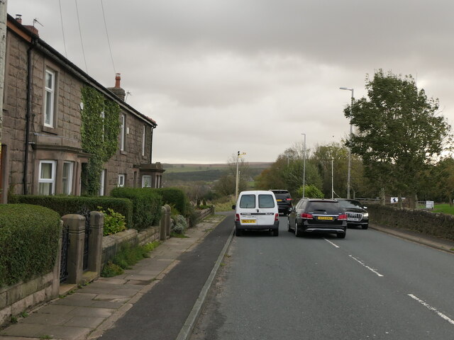
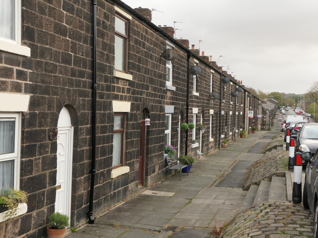
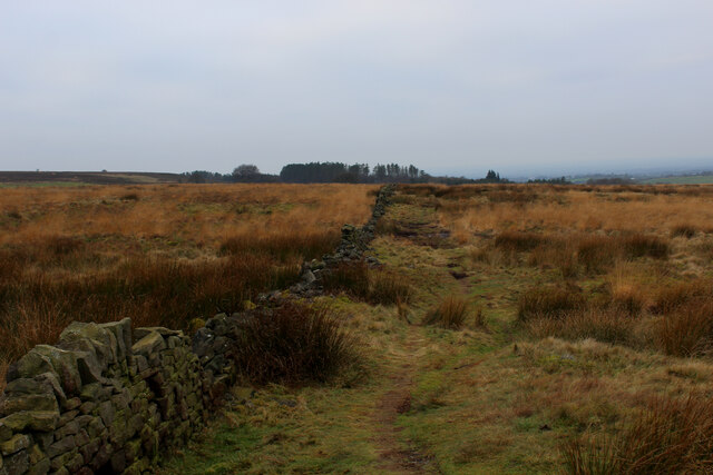
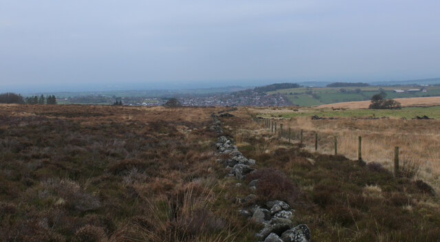
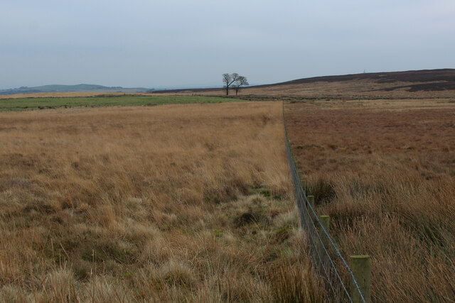
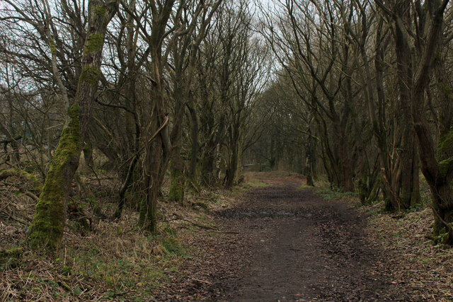
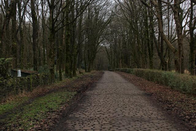
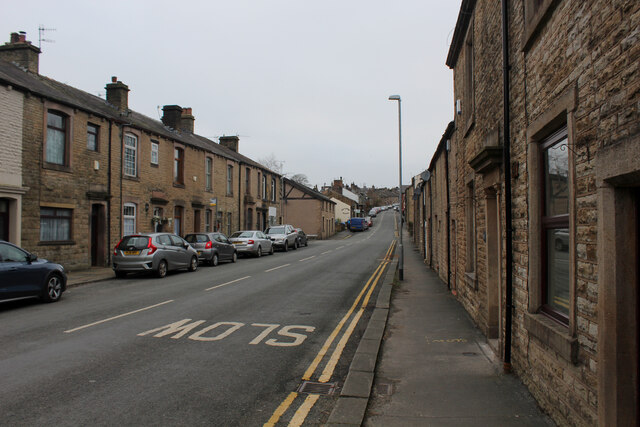
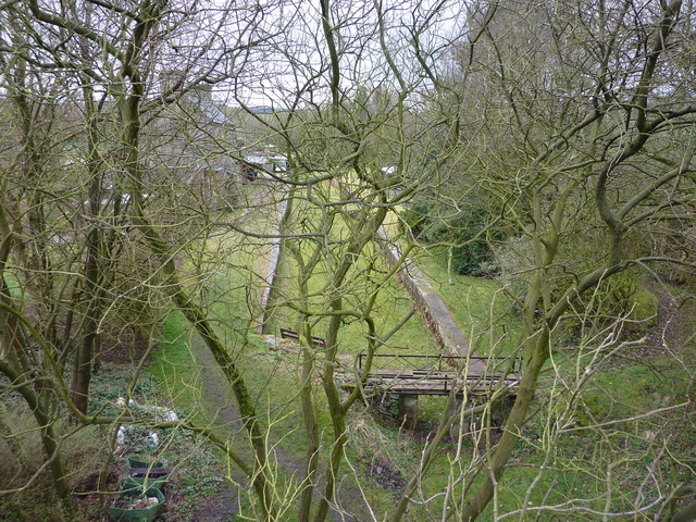
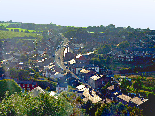
Withnell is a small village located in the county of Lancashire, England. Situated on the outskirts of the town of Chorley, Withnell is a rural village surrounded by picturesque countryside and green landscapes. The village lies in the valley of the River Roddlesworth, which adds to its natural charm.

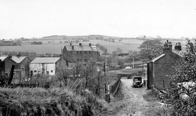
Withnell has a rich history dating back to medieval times, with evidence of settlements in the area from as early as the 12th century. The village has several historic buildings, including Withnell Hall, a Grade II listed mansion that dates back to the 17th century. The hall is known for its stunning architecture and beautiful gardens.

Despite its small size, Withnell offers a range of amenities to its residents. The village has a primary school, providing education for local children. There are also a few local shops and businesses, including a post office and a pub, which serves as a gathering place for the community.

The surrounding countryside provides ample opportunities for outdoor activities, such as hiking, cycling, and fishing. Withnell is also well-connected to neighboring towns and cities, with good transport links to Chorley and Preston.

Overall, Withnell is a peaceful and idyllic village that offers a tranquil escape from the hustle and bustle of city life. With its rich history, beautiful surroundings, and friendly community, Withnell is a desirable place to live for those seeking a rural lifestyle in Lancashire.

If you have any feedback on the listing, please let us know in the comments section below.
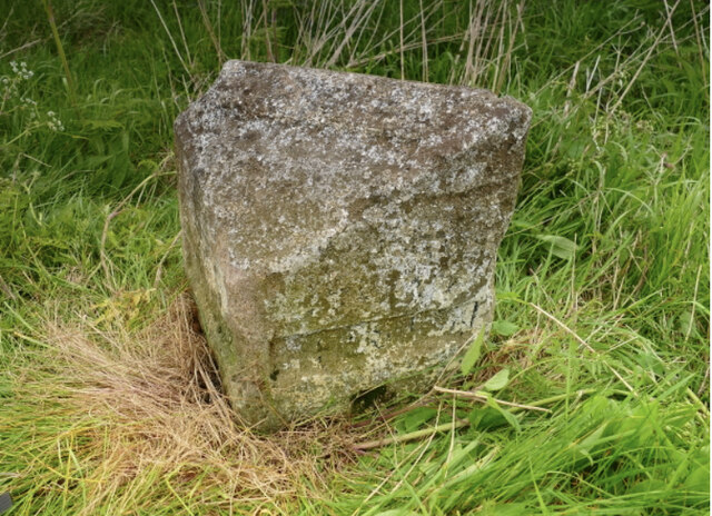
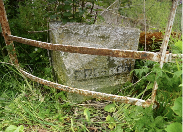
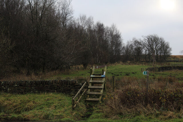
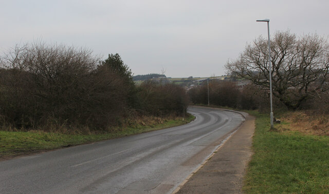
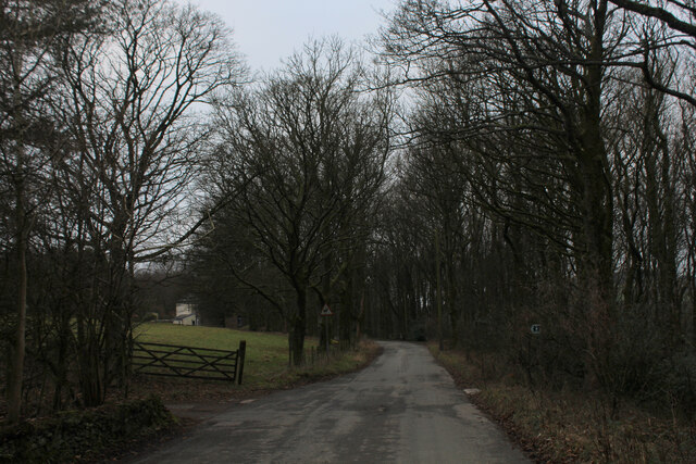
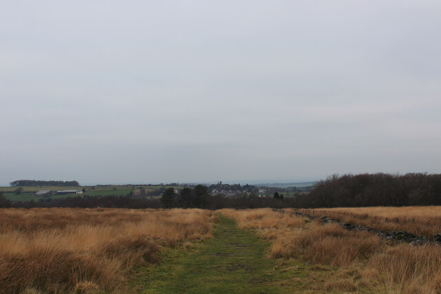
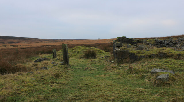
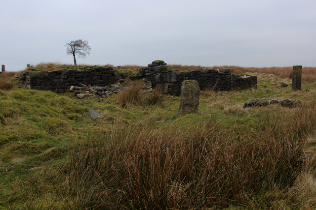
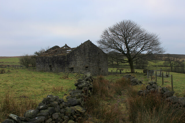
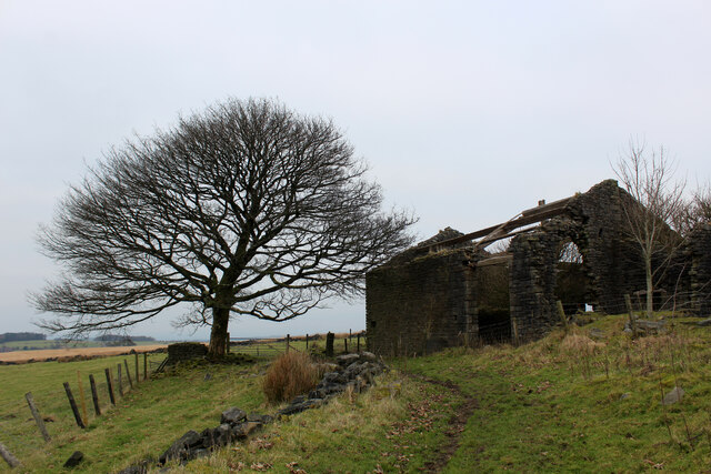
Withnell Images

Images are sourced within 2km of 53.692916/-2.55587 or Grid Reference SD6321. Thanks to Geograph Open Source API. All images are credited.

Old Milestone by the A675, Stanworth Road, Withnell parish Carved stone post by the A675, in parish of WITHNELL (CHORLEY District), Edge End, Moulden Brow, on verge, on East side of road. Lancs. CC stone triangle, erected by the County Council in the 19th/20th century. 

Inscription reads:-
: BOLTON : : WITHNELL : : PRESTON / 8 :

Milestone Society National ID: LA_PSBO08.
Old Milestone by the A675, Stanworth Road, Withnell parish
Carved stone post by the A675, in parish of WITHNELL (CHORLEY District), Edge End, Moulden Brow, on verge, on East side of road. Lancs. CC stone triangle, erected by the County Council in the 19th/20th century. Inscription reads:- : BOLTON : : WITHNELL : : PRESTON / 8 : Milestone Society National ID: LA_PSBO08.
Old Milestone by the A675, Bolton Road, Withnell parish Carved stone post by the A675, in parish of WITHNELL (CHORLEY District), Abbey; by Hare & Hounds, at edge of car park behind metal fence, on North side of road. Lancs CC stone triangle, erected by the County Council in the 19th/20th century. 

Inscription reads:-
: BOLTON : : (WITHNELL) : : PRESTON :

Milestone Society National ID: LA_PSBO09.
Old Milestone by the A675, Bolton Road, Withnell parish
Carved stone post by the A675, in parish of WITHNELL (CHORLEY District), Abbey; by Hare & Hounds, at edge of car park behind metal fence, on North side of road. Lancs CC stone triangle, erected by the County Council in the 19th/20th century. Inscription reads:- : BOLTON : : (WITHNELL) : : PRESTON : Milestone Society National ID: LA_PSBO09.
A675, Edge End
A675, Edge End
Gritstone terrace, Abbey Village
Ladder Stile off Dole Lane The path ascends beside the now abandoned Central Quarry near Abbey Village
Ladder Stile off Dole Lane
The path ascends beside the now abandoned Central Quarry near Abbey Village
Road between Withnell and Abbey Village
Twistmoor Lane The lane heads for Withnell Quarry, before becoming Butterworth Brow and descending into the village of Brinscall
Twistmoor Lane
The lane heads for Withnell Quarry, before becoming Butterworth Brow and descending into the village of Brinscall
Moorland Track on Millstone Edge Heading north towards Twistmoor Lane
Moorland Track on Millstone Edge
Heading north towards Twistmoor Lane
Ruin on Withnell Moor (1) The remains of a substantial building, probably a farmhouse lay isolated on Withnell Moor.
There are several such features on these West Pennine moors.
<a href="https://www.geograph.org.uk/photo/7050750">SD6420 : Ruin on Withnell Moor (2)</a>
Ruin on Withnell Moor (1)
The remains of a substantial building, probably a farmhouse lay isolated on Withnell Moor. There are several such features on these West Pennine moors. SD6420 : Ruin on Withnell Moor (2)
Ruin on Withnell Moor (2) Very little remains of what looked like a substantial farmhouse. There are several such features like this in the vicinity.
<a href="https://www.geograph.org.uk/photo/7050728">SD6420 : Ruin on Withnell Moor (1)</a>
Ruin on Withnell Moor (2)
Very little remains of what looked like a substantial farmhouse. There are several such features like this in the vicinity. SD6420 : Ruin on Withnell Moor (1)
Abandoned Farm Building above Ratten Clough from the East One of several ruined farms and buildings dotted around the surrounding area - this one is more intact than most.
<a href="https://www.geograph.org.uk/photo/7051055">SD6320 : Abandoned Farm Building above Ratten Clough from the South West</a>
Abandoned Farm Building above Ratten Clough from the East
One of several ruined farms and buildings dotted around the surrounding area - this one is more intact than most. SD6320 : Abandoned Farm Building above Ratten Clough from the South West
Abandoned Farm Building above Ratten Clough from the South West One of many ruined farms and buildings in the vicinity - this one more intact than most
<a href="https://www.geograph.org.uk/photo/7051040">SD6320 : Abandoned Farm Building above Ratten Clough from the East</a>
Abandoned Farm Building above Ratten Clough from the South West
One of many ruined farms and buildings in the vicinity - this one more intact than most SD6320 : Abandoned Farm Building above Ratten Clough from the East
Footpath on Withnell Moor Travelling west the map shows the footpath runs to the left of the wall, while in reality the route appears on the opposite side.
Footpath on Withnell Moor
Travelling west the map shows the footpath runs to the left of the wall, while in reality the route appears on the opposite side.
On the Moors above Brinscall The footpath marked on the map does not exist, the line choked with heather and moorland vegetation.
There is a narrow path that follows the fence all the way from Great Hill.
On the Moors above Brinscall
The footpath marked on the map does not exist, the line choked with heather and moorland vegetation. There is a narrow path that follows the fence all the way from Great Hill.
Moorland Scene below Old Man's Hill
Disused Railway Trackbed near Brinscall Part of the disused Lancashire Union Railway that once ran between Blackburn and Chorley. It closed to passengers in early 1960, and to freight in 1966.
Disused Railway Trackbed near Brinscall
Part of the disused Lancashire Union Railway that once ran between Blackburn and Chorley. It closed to passengers in early 1960, and to freight in 1966.
Cobbled Access Lane heading towards Brinscall Well laid cobbles on this access lane, although they do not stretch all the way to Brinscall Village.
Cobbled Access Lane heading towards Brinscall
Well laid cobbles on this access lane, although they do not stretch all the way to Brinscall Village.
Brinscall Looking up School Lane in the village of Brinscall
Brinscall
Looking up School Lane in the village of Brinscall
Show me another place!

Withnell is located at Grid Ref: SD6321 (Lat: 53.692916, Lng: -2.55587)

Administrative County: Lancashire

District: Chorley

Police Authority: Lancashire

What 3 Words

///reflect.tumblers.presume. Near Brinscall, Lancashire

Related Wikis

Withnell

Withnell is a village and civil parish in the Borough of Chorley, Lancashire, England. According to the census of 2001, it had a population of 3,631, reducing...

Brinscall railway station

Brinscall railway station was a railway station that served the village of Brinscall, Lancashire, England. == History == The station was opened by the...

Withnell railway station

Withnell railway station was a railway station that served Abbey Village and Withnell, in Lancashire, England. == History == The station was opened by...

Brinscall

Brinscall is a village in the Borough of Chorley, Lancashire, England. Located approximately five miles north-east of Chorley, Brinscall borders the similar...

Nearby Amenities

Located within 500m of 53.692916,-2.55587
Turning Circle
Lat/Long: 53.6959268/-2.5571121
Turning Circle
Lat/Long: 53.693686/-2.5598625
Barrier: kissing_gate
Bicycle: yes
Foot: yes
Horse: no
Lat/Long: 53.6936338/-2.5578362
Step'n'style Hair Studio
Addr City: Chorley
Addr Housenumber: 45
Addr Postcode: PR6 8RD
Addr Street: Railway Road
Addr Village: Brinscall
Male: yes
Opening Hours: We,Th 14:00-19:00; Fr 09:00-17:00; Sa 09:00-13:00
Shop: hairdresser
Lat/Long: 53.6903277/-2.5610469
Post Box
Collection Times: Mo-Fr 17:00; Sa 11:00
Operator: Royal Mail
Post Box Type: wall
Ref: PR6 52
Royal Cypher: EVIIR
Royal Cypher Wikidata: Q33102324
Lat/Long: 53.6902952/-2.5610499
Pharmacy
Withnell Pharmacy
Addr City: Chorley
Addr Housenumber: 17
Addr Postcode: PR6 8RX
Addr Street: Bury Lane
Addr Village: Withnell
Dispensing: yes
Lat/Long: 53.6934938/-2.5569659
Fast Food
Sunflower
Cuisine: fish_and_chips;chinese
Takeaway: yes
Lat/Long: 53.6931952/-2.5561116
Post Box
Collection Times: Mo-Fr 09:00; Sa 07:00
Mapillary: 309898627251822
Operator: Royal Mail
Post Box Type: wall
Ref: PR6 8
Royal Cypher: EIIR
Royal Cypher Wikidata: Q33102113
Lat/Long: 53.6933509/-2.5564603
Bus Stop
Health Centre
Bus: yes
Naptan AtcoCode: 2500LA00163
Naptan CommonName: Health Centre
Naptan Indicator: o/s
Naptan NaptanCode: langpdwg
Naptan Verified: no
Public Transport: platform
Lat/Long: 53.6922745/-2.5565878
Bus Stop
Health Centre
Bus: yes
Naptan AtcoCode: 2500LA00164
Naptan CommonName: Health Centre
Naptan Indicator: opp
Naptan NaptanCode: langpdwj
Naptan Verified: no
Public Transport: platform
Lat/Long: 53.6921284/-2.5566317
Bus Stop
St Josephs Primary School
Bus: yes
Naptan AtcoCode: 2500LA00168
Naptan CommonName: St Josephs Primary School
Naptan Indicator: opp
Naptan NaptanCode: langpdwt
Naptan Verified: no
Public Transport: platform
Shelter: no
Lat/Long: 53.6965081/-2.5594605
Bus Stop
Post Office
Bus: yes
Naptan AtcoCode: 2500LA00167
Naptan CommonName: Post Office
Naptan Indicator: o/s
Naptan NaptanCode: langpdwp
Naptan Verified: no
Public Transport: platform
Lat/Long: 53.6931678/-2.5563298
Bus Stop
Prospect Terrace
Bench: no
Bin: no
Bus: yes
Lit: no
Naptan AtcoCode: 2500LA00165
Naptan CommonName: Prospect Terrace
Naptan Indicator: by
Naptan NaptanCode: langpdwm
Naptan Verified: no
Public Transport: platform
Shelter: no
Tactile Paving: no
Lat/Long: 53.6923683/-2.5547716
Bus Stop
Prospect Terrace
Bench: no
Bin: no
Bus: yes
Lit: no
Naptan AtcoCode: 2500192
Naptan CommonName: Prospect Terrace
Naptan Indicator: opp
Naptan NaptanCode: lanatjdp
Naptan Verified: no
Public Transport: platform
Shelter: no
Tactile Paving: no
Lat/Long: 53.6924406/-2.5546817
Bus Stop
Hartington Road
Bench: no
Bin: no
Bus: yes
Check Date Bin: 2023-10-26
Naptan AtcoCode: 250010791
Naptan CommonName: Hartington Road
Naptan Indicator: opp
Naptan NaptanCode: lanadpag
Naptan Verified: no
Public Transport: platform
Shelter: no
Tactile Paving: no
Lat/Long: 53.690173/-2.5610271
Direction: SW
Generator Method: photovoltaic
Generator Output Electricity: yes
Generator Solar Modules: 48
Generator Source: solar
Generator Type: solar_photovoltaic_panel
Location: roof
Power: generator
Lat/Long: 53.6908744/-2.5612709
Direction: SE
Generator Method: photovoltaic
Generator Output Electricity: yes
Generator Solar Modules: 16
Generator Source: solar
Generator Type: solar_photovoltaic_panel
Location: roof
Power: generator
Lat/Long: 53.6935764/-2.5591734
Direction: SW
Generator Method: photovoltaic
Generator Output Electricity: yes
Generator Solar Modules: 16
Generator Source: solar
Generator Type: solar_photovoltaic_panel
Location: roof
Power: generator
Lat/Long: 53.6936145/-2.558177
Parking
Withnell Health Centre
Access: customers
Capacity: 9
Parking: street_side
Smoothness: good
Surface: asphalt
Lat/Long: 53.6926798/-2.5564161
Entrance: main
Lat/Long: 53.6923976/-2.5566714
Withnell Farm
Place: farm
Lat/Long: 53.6947357/-2.5586933
James Donaldson Timber
Addr City: Chorley
Addr Postcode: PR6 8RR
Addr Street: North East Avenue
Addr Subdistrict: Withnell
Office: company
Lat/Long: 53.6923662/-2.5585806
The Forge Garage
Addr City: Chorley
Addr Postcode: PR6 8RY
Addr Street: Lower Bank Street
Addr Subdistrict: Withnell
Operator: North West Repo Cars
Shop: car
Lat/Long: 53.6937518/-2.555303
Give Way
Direction: backward
Lat/Long: 53.6928881/-2.5558262
The data included in this document is from www.openstreetmap.org. The data is made available under ODbL.

Have you been to Withnell?

Leave your review of Withnell below (or comments, questions and feedback).