Withnell Fold

Settlement in Lancashire Chorley

England

Withnell Fold

Brindle Community Hall Lovely setting for a building of this ilk, for the use of the local community.
Brindle Community Hall Credit: Greum

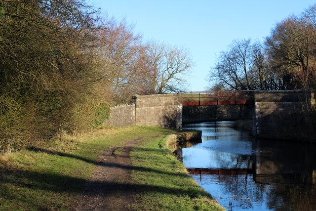
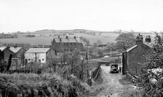
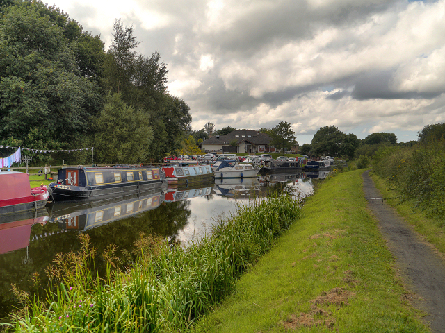
Withnell Fold is a small village located in the county of Lancashire, England. Situated in the borough of Chorley, it is nestled within the beautiful countryside of the West Pennine Moors, offering picturesque views and a tranquil environment. The village is surrounded by rolling hills, lush green fields, and dense woodland, making it a popular destination for nature lovers and outdoor enthusiasts.

Withnell Fold has a rich history dating back to the 19th century when it was primarily an agricultural community. Over the years, it has evolved into a residential area with a close-knit community. The village is known for its charming stone cottages, which add to its traditional English village atmosphere.

Despite its rural setting, Withnell Fold benefits from its proximity to major cities like Preston and Manchester. This makes it an ideal location for those who desire a peaceful lifestyle but still need access to urban amenities and employment opportunities.

The village offers a range of amenities to its residents, including a local primary school, a community center, and a post office. The nearby market town of Chorley provides additional shopping and leisure facilities. Withnell Fold is also well-connected by road, with the M61 motorway passing close by, allowing easy access to other parts of the country.

Overall, Withnell Fold is a charming village that offers a peaceful and idyllic setting for its residents while still providing convenient access to nearby urban centers.

If you have any feedback on the listing, please let us know in the comments section below.

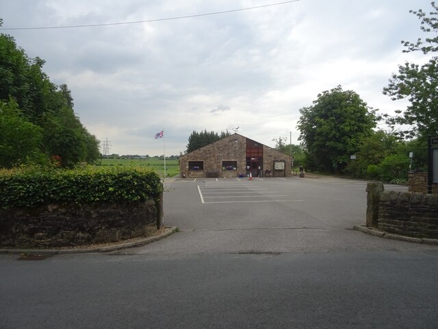
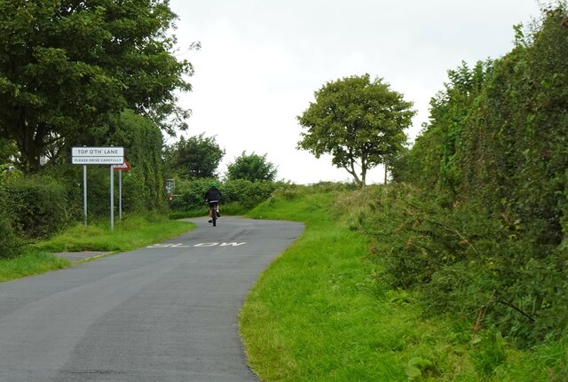
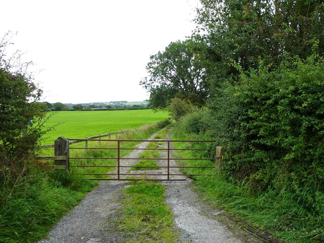
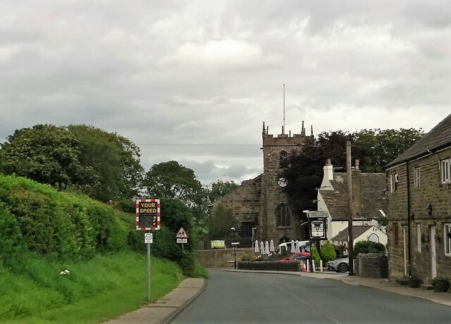
Withnell Fold Images

Images are sourced within 2km of 53.702992/-2.5865248 or Grid Reference SD6123. Thanks to Geograph Open Source API. All images are credited.

Brindle Community Hall Lovely setting for a building of this ilk, for the use of the local community.
Brindle Community Hall
Lovely setting for a building of this ilk, for the use of the local community.
Approaching Top o'th' Lane A small hamlet near Brindle in Lancashire.
Approaching Top o'th' Lane
A small hamlet near Brindle in Lancashire.
Track off Denham Lane Also a public footpath leading to Breworth Fold Farm and beyond.
Track off Denham Lane
Also a public footpath leading to Breworth Fold Farm and beyond.
Approaching the centre of Brindle The church is St. James', the pub is The Cavendish Arms.
Approaching the centre of Brindle
The church is St. James', the pub is The Cavendish Arms.
St. Paul's Church, Withnell This church dates back to 1841.
St. Paul's Church, Withnell
This church dates back to 1841.
Leeds and Liverpool Canal heading towards Riley Green Section of the canal between Chorley and Blackburn
Leeds and Liverpool Canal heading towards Riley Green
Section of the canal between Chorley and Blackburn
Fields beside the Leeds and Liverpool Canal Countryside south of Riley Green - between Chorley and Blackburn
Fields beside the Leeds and Liverpool Canal
Countryside south of Riley Green - between Chorley and Blackburn
Ollerton Bridge No. 1 The first of 3 bridges bearing the name "Ollerton" - although marked as No. 91 on the Leeds and Liverpool Canal
Ollerton Bridge No. 1
The first of 3 bridges bearing the name "Ollerton" - although marked as No. 91 on the Leeds and Liverpool Canal
M65 crossing the Leeds and Liverpool Canal near Riley Green Section of canal between Blackburn and Chorley
M65 crossing the Leeds and Liverpool Canal near Riley Green
Section of canal between Blackburn and Chorley
Whaves Lane Green lane ascending towards Ollerton Fold from the Leeds and Liverpool Canal.
Whaves Lane
Green lane ascending towards Ollerton Fold from the Leeds and Liverpool Canal.
Ollerton Fold (1) In the hamlet on Ollerton Lane
Ollerton Fold (1)
In the hamlet on Ollerton Lane
Ollerton Fold (2) In the hamlet of Ollerton Fold
Ollerton Fold (2)
In the hamlet of Ollerton Fold
Footbridge East of Ollerton Fold Carries the footpath from Ollerton Fold to the A674, Chorley Road over small watercourse.
Footbridge East of Ollerton Fold
Carries the footpath from Ollerton Fold to the A674, Chorley Road over small watercourse.
Outbuildings at Withnell House Farm
Bury Lane Runs from the village of Withnell to the A675, Chorley Road
Bury Lane
Runs from the village of Withnell to the A675, Chorley Road
Access Track to Moss Side Farm Adopted by a public footpath from Bury Lane
Access Track to Moss Side Farm
Adopted by a public footpath from Bury Lane
Whins Bridge Bridge No. 83 on the Leeds and Liverpool Canal, which carries a public footpath over the waterway
Whins Bridge
Bridge No. 83 on the Leeds and Liverpool Canal, which carries a public footpath over the waterway
Simpson's Fold Bridge Bridge No.85 along the Leeds and Liverpool Canal - carries a public footpath over the waterway near Upper Wheelton
Simpson's Fold Bridge
Bridge No.85 along the Leeds and Liverpool Canal - carries a public footpath over the waterway near Upper Wheelton
Show me another place!

Withnell Fold is located at Grid Ref: SD6123 (Lat: 53.702992, Lng: -2.5865248)

Administrative County: Lancashire

District: Chorley

Police Authority: Lancashire

What 3 Words

///bristle.encroach.vague. Near Brinscall, Lancashire

Related Wikis

Withnell Fold

Withnell Fold is a hamlet, situated between Blackburn and Chorley, in Lancashire, England. == History == Withnell Fold, a model village and paper mill...

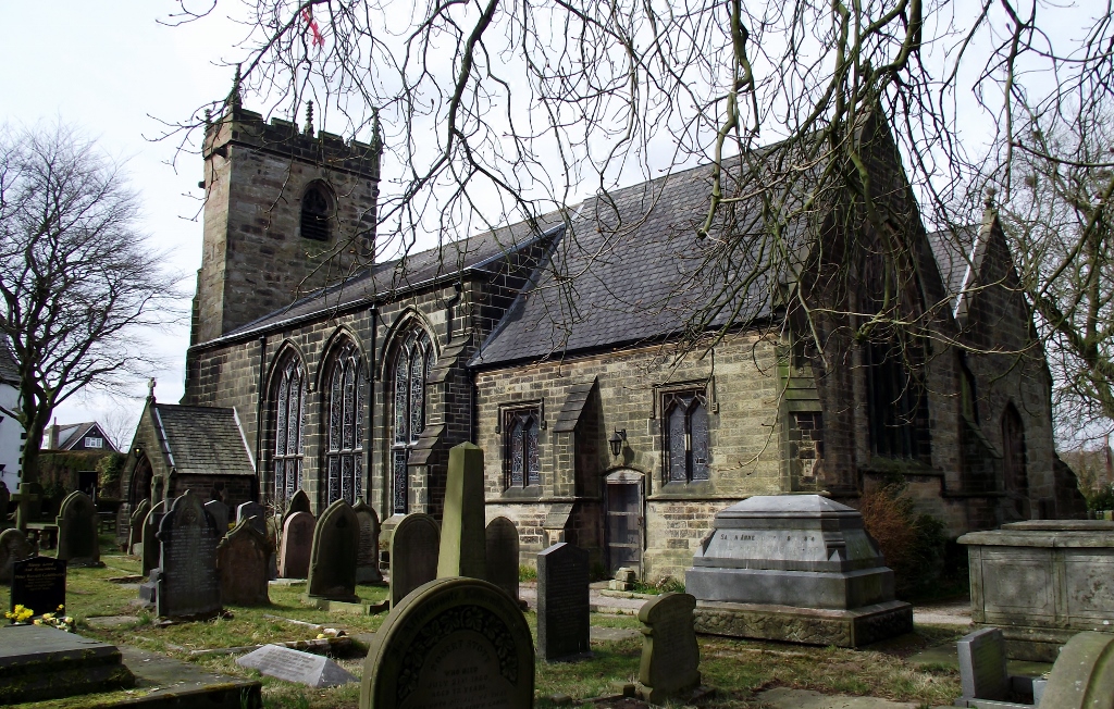
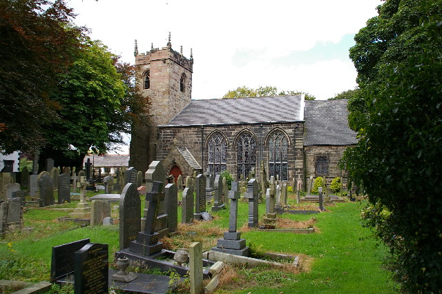
St James' Church, Brindle

St James' Church is in the village of Brindle, Lancashire, England. It is an active Anglican parish church in the deanery of Chorley, the archdeaconry...

Brindle, Lancashire

Brindle is a small village and civil parish of the borough of Chorley, Lancashire, England. The population of the civil parish at the 2011 census was...
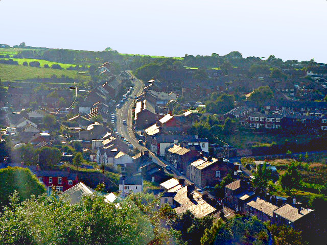
Brinscall

Brinscall is a village in the Borough of Chorley, Lancashire, England. Located approximately five miles north-east of Chorley, Brinscall borders the similar...

Brinscall railway station

Brinscall railway station was a railway station that served the village of Brinscall, Lancashire, England. == History == The station was opened by the...

Wheelton

Wheelton is a village and civil parish of the Borough of Chorley, in Lancashire, England. According to the United Kingdom Census 2001 it has a population...

Riley Green, Lancashire

Riley Green is a hamlet, part of the civil parish of Hoghton, within the Borough of Chorley, Lancashire, England. It is located at the junction of the...

Withnell

Withnell is a village and civil parish in the Borough of Chorley, Lancashire, England. According to the census of 2001, it had a population of 3,631, reducing...

Nearby Amenities

Located within 500m of 53.702992,-2.5865248
Withnell Fold
Place: hamlet
Source: npe
Wikidata: Q8028210
Wikipedia: en:Withnell Fold
Lat/Long: 53.7024622/-2.5892005
Barrier: stile
Lat/Long: 53.7064362/-2.5839684
Turning Circle
Lat/Long: 53.7026103/-2.5912767
Post Box
Collection Times: Mo-Fr 16:00; Sa 11:15
Operator: Royal Mail
Operator Wikidata: Q638098
Post Box Type: lamp
Ref: PR6 85
Royal Cypher: EIIR
Royal Cypher Wikidata: Q33102113
Lat/Long: 53.7010138/-2.5811307
Post Box
Collection Times: Mo-Fr 09:00; Sa 07:00; Su off
Post Box Type: wall
Ref: PR6 27D
Royal Cypher: EIIR
Royal Cypher Wikidata: Q33102113
Lat/Long: 53.7025435/-2.5884168
Withnell Fold Stocks
HE Ref: 1317327
Heritage: 2
Heritage Operator: Historic England
Historic: stocks
Listed Status: Grade II
Start Date: probably C18
Website: https://historicengland.org.uk/listing/the-list/list-entry/1317327/
Lat/Long: 53.7028021/-2.5890024
Bus Stop
Road End
Bus: yes
Naptan AtcoCode: 2500LA00332
Naptan CommonName: Road End
Naptan Indicator: by
Naptan NaptanCode: langpmwm
Naptan Verified: no
Public Transport: platform
Lat/Long: 53.7009608/-2.5813465
Bus Stop
Road End
Bus: yes
Naptan AtcoCode: 2500LA00333
Naptan CommonName: Road End
Naptan Indicator: opp
Naptan NaptanCode: langpmwp
Naptan Verified: no
Public Transport: platform
Lat/Long: 53.7011879/-2.5808649
Bus Stop
Square
Bus: yes
Naptan AtcoCode: 2500193
Naptan CommonName: Square
Naptan Indicator: by
Naptan NaptanCode: lanatjgd
Naptan Verified: no
Public Transport: platform
Lat/Long: 53.7027132/-2.5887779
Historic: memorial
Memorial: war_memorial
Lat/Long: 53.7031232/-2.5894609
Withnell Fold
Board Type: history
Information: board
Tourism: information
Lat/Long: 53.7028067/-2.5890515
Parking
Access: permissive
Parking: surface
Smoothness: bad
Surface: unpaved
Lat/Long: 53.7035594/-2.5908946
Speed Camera
Direction: 220
Maxspeed: 30 mph
Lat/Long: 53.699925/-2.5821571
The data included in this document is from www.openstreetmap.org. The data is made available under ODbL.

Have you been to Withnell Fold?

Leave your review of Withnell Fold below (or comments, questions and feedback).