Withnell Plantation
Wood, Forest in Lancashire Chorley
England
Withnell Plantation
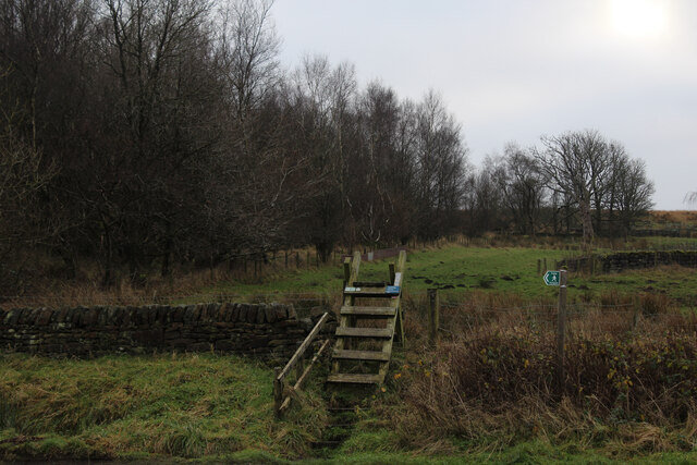
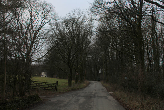
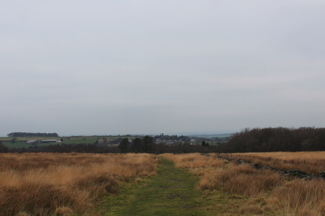
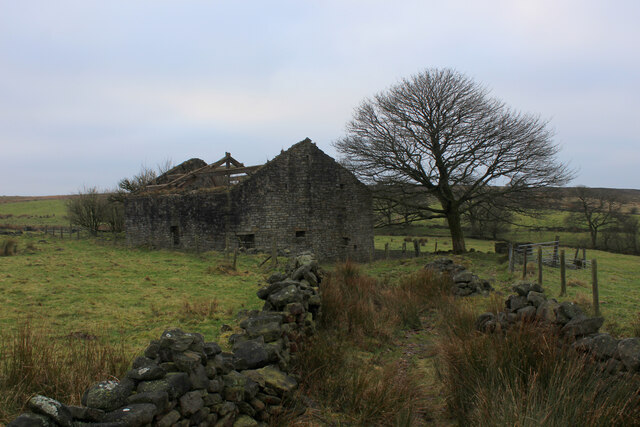
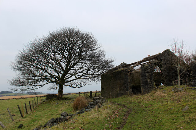
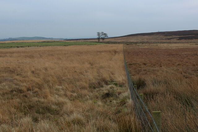
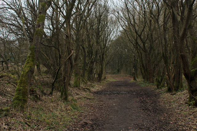
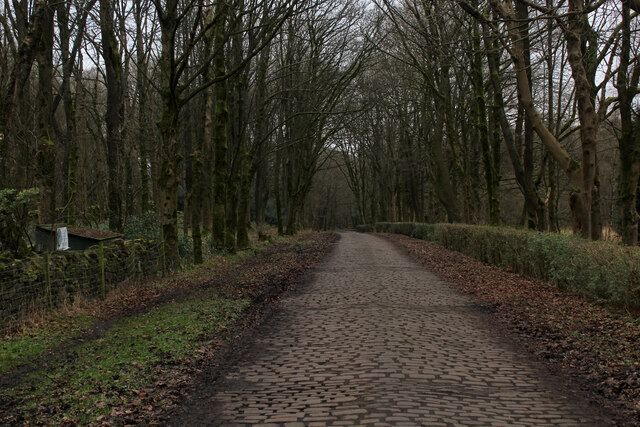
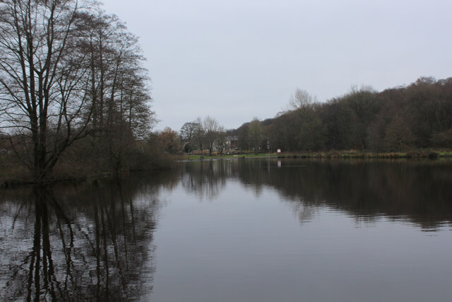
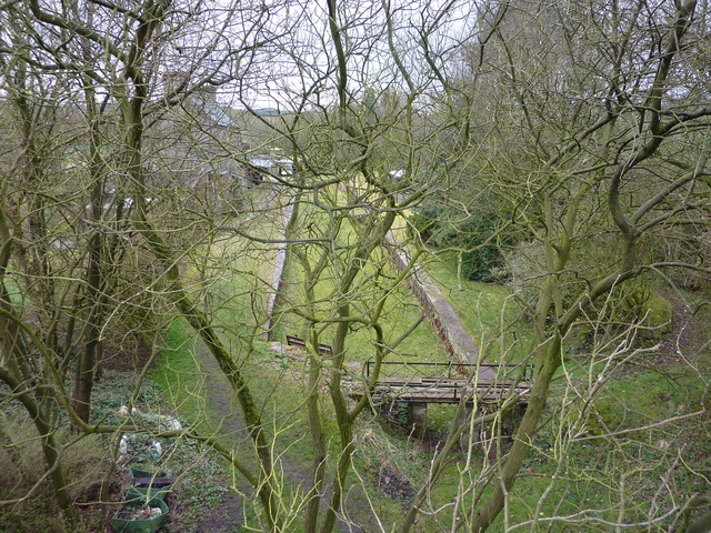
Withnell Plantation, located in Lancashire, England, is a picturesque woodland area known for its natural beauty and diverse flora and fauna. Spanning over 700 acres, this expansive plantation is a haven for nature enthusiasts and offers a tranquil escape from the hustle and bustle of everyday life.
The plantation is primarily composed of dense woodland, with a variety of tree species, including oak, beech, and birch, dominating the landscape. These towering trees provide a rich habitat for a wide range of wildlife, including deer, foxes, badgers, and numerous bird species. The plantation's diverse ecosystem has made it a popular destination for birdwatchers, who flock to the area to catch a glimpse of rare and migratory birds.
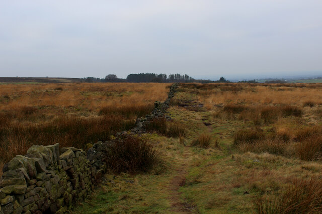
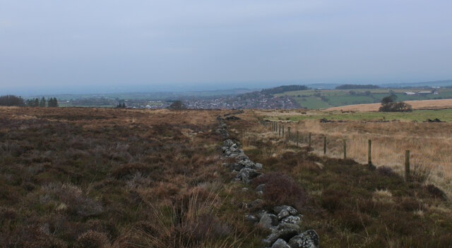
Visitors to Withnell Plantation can enjoy a network of well-maintained walking trails that wind through the woodland, offering stunning views and opportunities for peaceful exploration. The trails are suitable for all levels of fitness and provide an excellent way to immerse oneself in the natural beauty of the area.
The plantation also features several picnic areas, allowing visitors to relax and enjoy a meal surrounded by nature. Additionally, there are designated areas for cycling and horse riding enthusiasts, providing alternative ways to experience the plantation's enchanting charm.
Withnell Plantation is managed by local authorities who ensure the preservation of its natural habitats and the protection of its wildlife. The plantation is open to the public year-round, with no admission fees, making it an accessible and affordable destination for nature lovers of all ages. Whether it's a leisurely stroll, a birdwatching adventure, or simply a desire to connect with nature, Withnell Plantation offers a serene and captivating experience for all who visit.
If you have any feedback on the listing, please let us know in the comments section below.
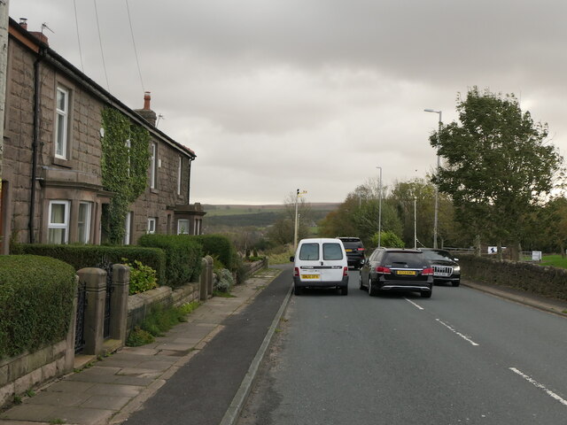
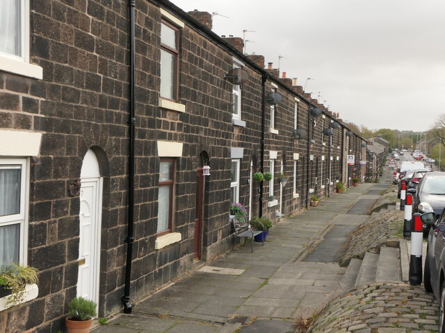
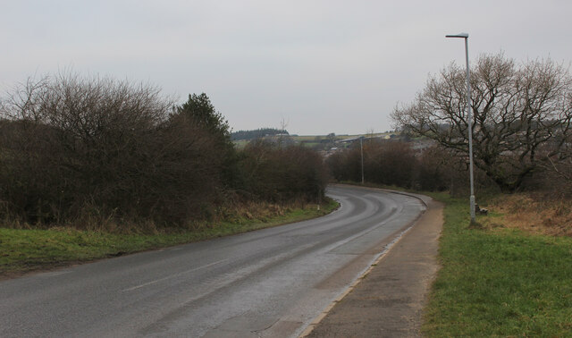
Withnell Plantation Images
Images are sourced within 2km of 53.691858/-2.5558704 or Grid Reference SD6321. Thanks to Geograph Open Source API. All images are credited.
Withnell Plantation is located at Grid Ref: SD6321 (Lat: 53.691858, Lng: -2.5558704)
Administrative County: Lancashire
District: Chorley
Police Authority: Lancashire
What 3 Words
///crescendo.mammals.rate. Near Brinscall, Lancashire
Nearby Locations
Related Wikis

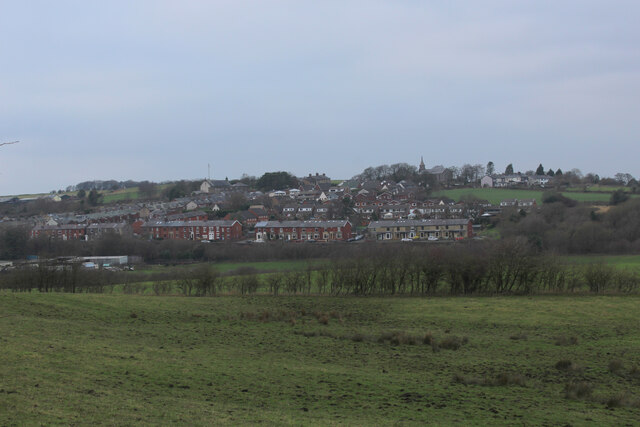
Withnell
Withnell is a village and civil parish in the Borough of Chorley, Lancashire, England. According to the census of 2001, it had a population of 3,631, reducing...
Brinscall railway station
Brinscall railway station was a railway station that served the village of Brinscall, Lancashire, England. == History == The station was opened by the...
Brinscall
Brinscall is a village in the Borough of Chorley, Lancashire, England. Located approximately five miles north-east of Chorley, Brinscall borders the similar...
Withnell railway station
Withnell railway station was a railway station that served Abbey Village and Withnell, in Lancashire, England. == History == The station was opened by...
Nearby Amenities
Located within 500m of 53.691858,-2.5558704Have you been to Withnell Plantation?
Leave your review of Withnell Plantation below (or comments, questions and feedback).