Wiston
Settlement in Sussex Horsham
England
Wiston
Wiston is a small village located in the county of West Sussex, England. Situated approximately 4 miles northwest of the town of Steyning, Wiston is set amidst the picturesque South Downs National Park. The village is known for its idyllic rural setting and historic charm.
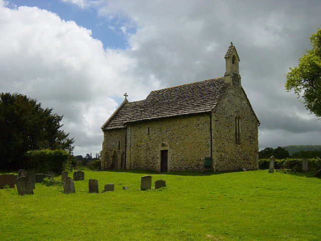
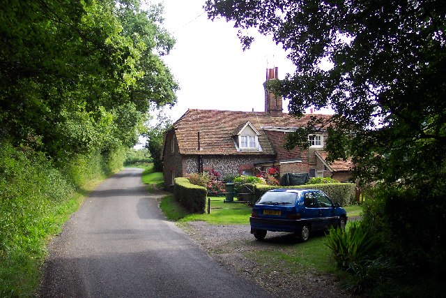
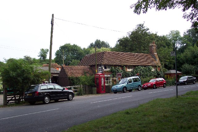
Wiston boasts a population of around 250 residents, who enjoy a peaceful and close-knit community. The village is predominantly residential, with a scattering of traditional cottages and houses that reflect its rich historical heritage. One of the prominent landmarks in Wiston is the St. Mary's Church, a Grade I listed building dating back to the 12th century. This beautiful church is renowned for its Norman architecture and hosts regular services and events for the local community.
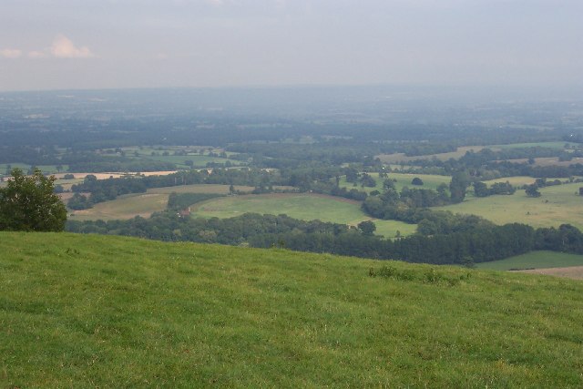
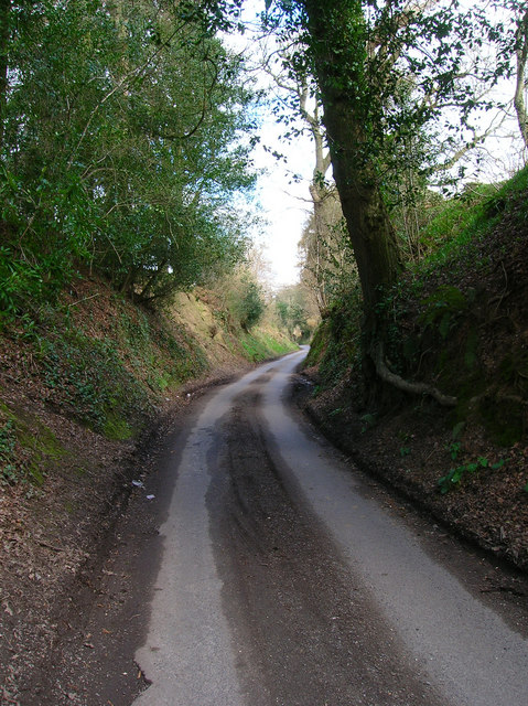
The surrounding countryside offers stunning vistas and ample opportunities for outdoor activities. The South Downs Way, a popular long-distance footpath, passes close to Wiston, attracting hikers and nature enthusiasts. The village is also home to Wiston House, an elegant Elizabethan manor that now serves as a conference and wedding venue. The estate's expansive grounds feature immaculate gardens, woodlands, and a lake, making it a delightful spot for leisurely walks and picnics.
While Wiston may be a small village, it benefits from its close proximity to larger towns such as Steyning and Worthing, which provide amenities such as shops, schools, and healthcare facilities. Overall, Wiston offers a charming and tranquil countryside retreat for those seeking a peaceful escape in the heart of West Sussex.
If you have any feedback on the listing, please let us know in the comments section below.
Wiston Images
Images are sourced within 2km of 50.916043/-0.3739881 or Grid Reference TQ1414. Thanks to Geograph Open Source API. All images are credited.


Wiston is located at Grid Ref: TQ1414 (Lat: 50.916043, Lng: -0.3739881)
Administrative County: West Sussex
District: Horsham
Police Authority: Sussex
What 3 Words
///influence.chucks.prongs. Near Ashington, West Sussex
Nearby Locations
Related Wikis

Wiston, West Sussex
Wiston is a scattered village and civil parish in the Horsham District of West Sussex, England. It lies on the A283 road 2.8 miles (4.5 km) northwest of...

Buncton
Buncton () is a small village in the Horsham District of West Sussex, England, part of the civil parish of Wiston 0.5 miles (0.80 km) north. It lies to...
All Saints Church, Buncton
All Saints Church is an Anglican church in the hamlet of Buncton in the district of Horsham, one of seven local government districts in the English county...

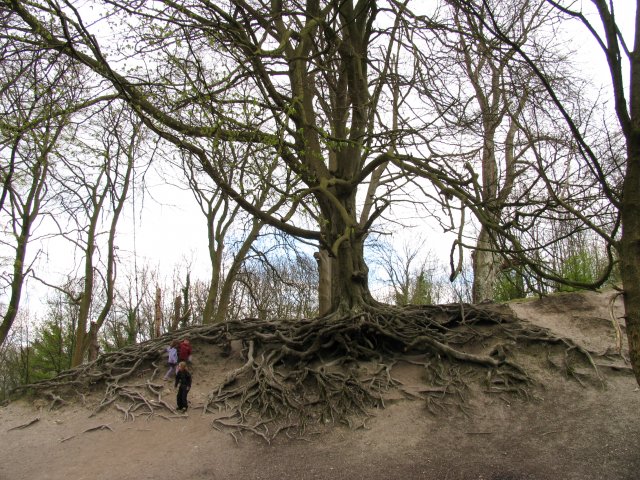
South Downs National Park
The South Downs National Park is England's newest national park, designated on 31 March 2010. The park, covering an area of 1,627 square kilometres (628...

Rock Mill, Washington
Rock Mill is a Grade II listed smock mill at Washington, West Sussex, England, which has been converted to residential use. == History == Rock Mill was...
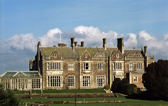
Wiston House
Wiston House is a 16th-century Grade I listed building set in the South Downs National Park on the south coast of England, surrounded by over 6,000 acres...
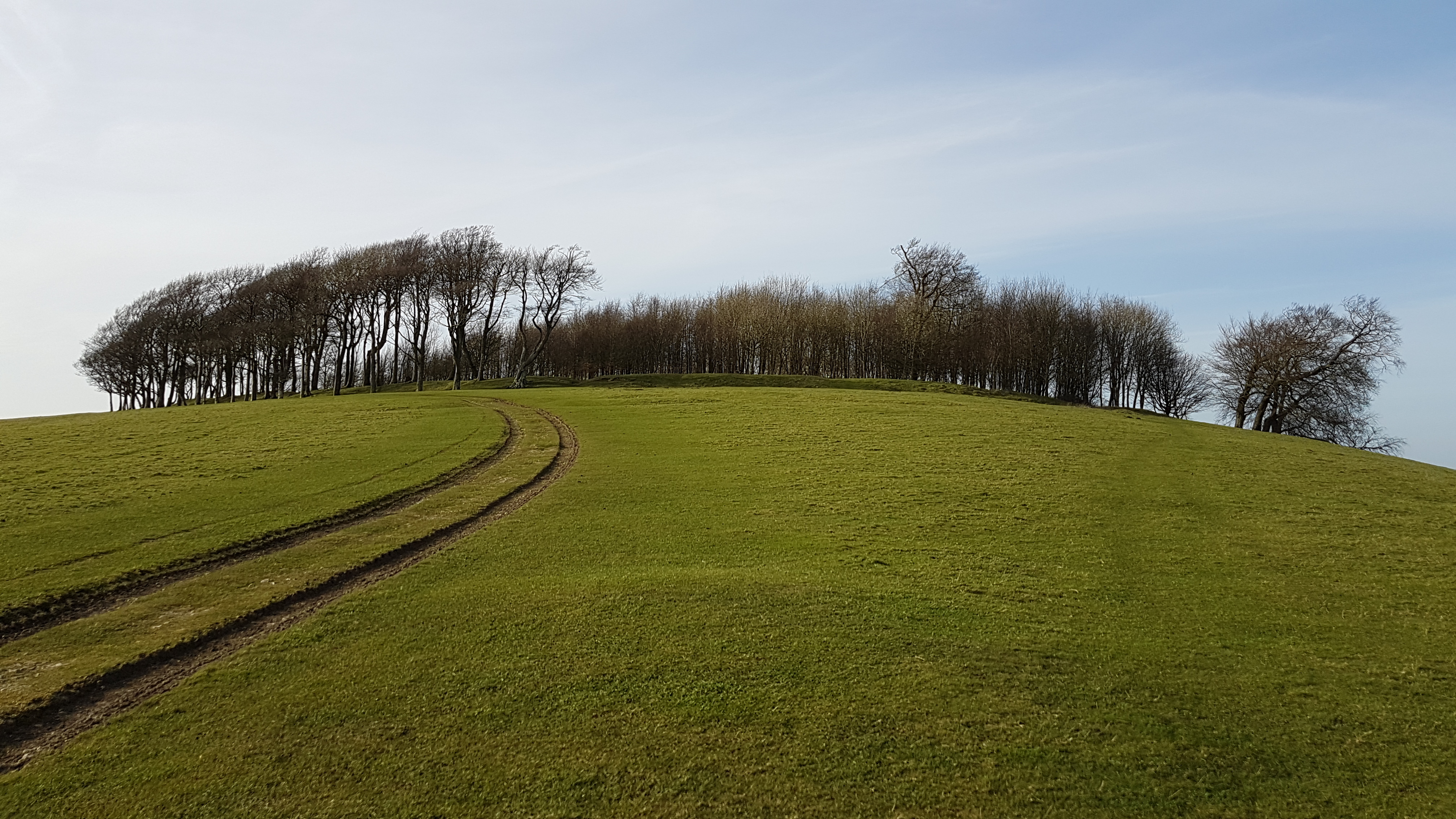
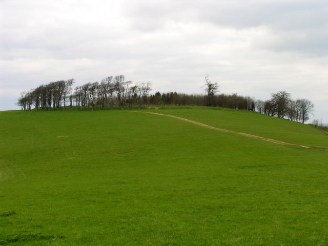
Chanctonbury Ring
Chanctonbury Ring is a prehistoric hill fort atop Chanctonbury Hill on the South Downs, on the border of the civil parishes of Washington and Wiston in...

Ashington, West Sussex
Ashington is a village and civil parish in the Horsham District of West Sussex, England. It lies on the A24 road 3 miles (4.8 km) north-east of Storrington...
Nearby Amenities
Located within 500m of 50.916043,-0.3739881Have you been to Wiston?
Leave your review of Wiston below (or comments, questions and feedback).