Wiston
Settlement in Pembrokeshire
Wales
Wiston

Wiston is a small village located in the county of Pembrokeshire, Wales. The village is situated near the town of Haverfordwest and is known for its picturesque countryside and historic landmarks. Wiston Castle, a 12th-century motte-and-bailey castle, is a prominent feature in the village and attracts visitors interested in exploring its ruins and learning about its history.
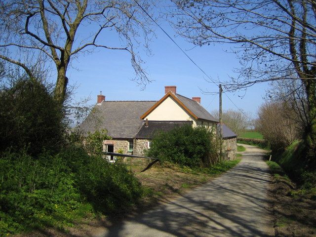
Wiston is a rural community with a small population, and the village is surrounded by rolling green hills and farmland. The village has a quaint charm, with traditional stone cottages and a parish church adding to its character.
Despite its small size, Wiston has a strong sense of community and hosts a variety of events and activities throughout the year, including agricultural shows, village fairs, and community gatherings. The village is also home to a few local businesses, including a pub and a small shop, providing essential services for residents and visitors.
Overall, Wiston is a peaceful and charming village that offers a glimpse into rural life in Pembrokeshire, making it a popular destination for those seeking a tranquil retreat in the Welsh countryside.
If you have any feedback on the listing, please let us know in the comments section below.
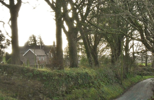
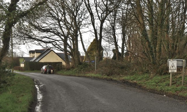
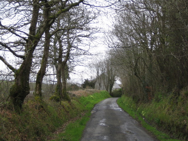
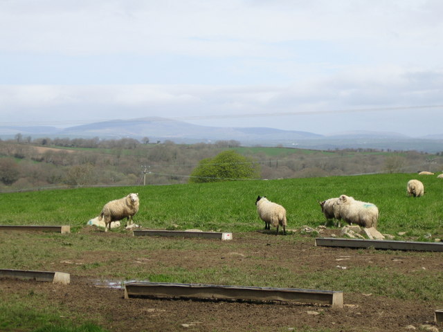
Wiston Images
Images are sourced within 2km of 51.825861/-4.871798 or Grid Reference SN0218. Thanks to Geograph Open Source API. All images are credited.


Wiston is located at Grid Ref: SN0218 (Lat: 51.825861, Lng: -4.871798)
Unitary Authority: Pembrokeshire
Police Authority: Dyfed Powys
Also known as: Cas-wis
What 3 Words
///acrobats.jumpy.reserving. Near Wiston, Pembrokeshire
Nearby Locations
Related Wikis
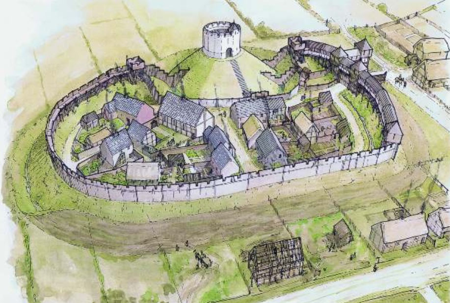
Wiston Castle
Wiston Castle (Welsh: Castell Cas-wis) is a motte and bailey castle in the Pembrokeshire village of Wiston in south west Wales and is one of the best examples...

Wiston, Pembrokeshire
Wiston (Welsh: Cas-Wis) is a village, parish and community in Pembrokeshire, Wales, in the United Kingdom. It was once a marcher borough. George Owen,...

Slebech
Slebech was a community (prior to 1974, a civil parish) in Pembrokeshire, Wales, which is now part of the combined community of Uzmaston and Boulston and...

Uzmaston, Boulston and Slebech
Uzmaston, Boulston and Slebech is a community in Pembrokeshire, Wales, which includes the villages of Uzmaston, Boulston and Slebech, and the Haverfordwest...
Nearby Amenities
Located within 500m of 51.825861,-4.871798Have you been to Wiston?
Leave your review of Wiston below (or comments, questions and feedback).