Castell Cas-wis

Heritage Site in Pembrokeshire

Wales

Castell Cas-wis

Road Junction near Clarbeston Road The road junction can be seen beyond the house on the road to Wiston from Clarbeston Road. Turn left into Lamborough Lane.
Road Junction near Clarbeston Road Credit: Martyn Harries

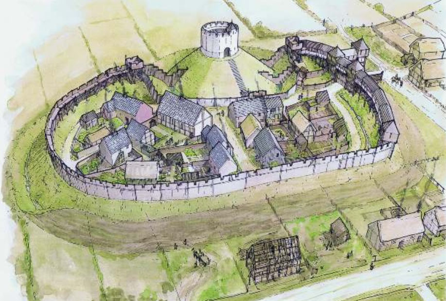
Castell Cas-wis, located in Pembrokeshire, is a historic heritage site that dates back to the 12th century. The castle was built by the Normans as a defensive structure to protect the area from potential invasions. It is situated on a rocky promontory overlooking the beautiful coastline of Pembrokeshire, offering stunning views of the surrounding landscape.

The castle is a well-preserved example of a motte-and-bailey design, with a central keep surrounded by a protective wall and outer bailey. The site also includes a well-preserved gatehouse and a series of defensive earthworks.

Throughout its history, Castell Cas-wis has been the site of many battles and sieges, including conflicts with Welsh princes and English invaders. The castle eventually fell into disrepair and was abandoned in the 17th century.

Today, Castell Cas-wis is a popular tourist destination, attracting visitors who are interested in exploring its rich history and enjoying the picturesque views of the Pembrokeshire coastline. The site is managed by a local heritage organization and offers guided tours, educational programs, and special events for visitors of all ages.

If you have any feedback on the listing, please let us know in the comments section below.

Castell Cas-wis Images

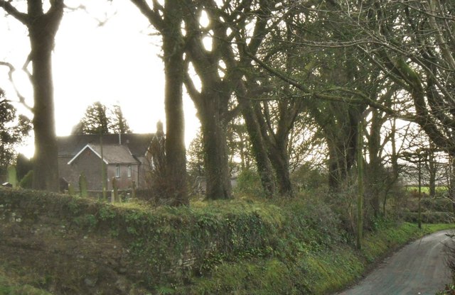
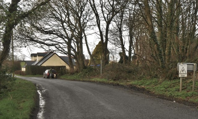
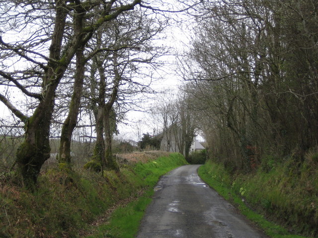
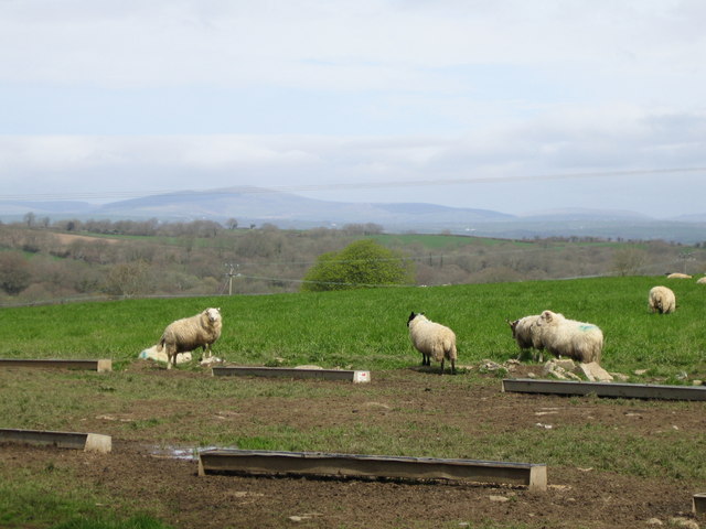
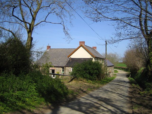
Images are sourced within 2km of 51.8268/-4.8711 or Grid Reference SN0218. Thanks to Geograph Open Source API. All images are credited.

Road Junction near Clarbeston Road The road junction can be seen beyond the house on the road to Wiston from Clarbeston Road. Turn left into Lamborough Lane.
Road Junction near Clarbeston Road
The road junction can be seen beyond the house on the road to Wiston from Clarbeston Road. Turn left into Lamborough Lane.
Motte and Bailey at Wiston A well preserved motte-and-bailey castle, built by the Flemish settler, Wizo,  in the first half of the twelfth century. Remains of a later stone shell-keep also survive. The bailey area is quite extensive
Motte and Bailey at Wiston
A well preserved motte-and-bailey castle, built by the Flemish settler, Wizo, in the first half of the twelfth century. Remains of a later stone shell-keep also survive. The bailey area is quite extensive
Conkland Hill, Wiston The lane leading south from the village
Conkland Hill, Wiston
The lane leading south from the village
Bridleway Leading to Upper Hill Farm Wellies definitely recommended as the lane was virtually a river!
Bridleway Leading to Upper Hill Farm
Wellies definitely recommended as the lane was virtually a river!
The Modern Way In William the Conqueror’s second son Henry 1st decided soon after his coronation in 1100 to strengthen his hold on Wales by introducing Flemings from the inundated low countries to Pembrokeshire to subdue the warring Welsh. The Flemings had a reputation as good soldiers, enterprising farmers and skilled craftsmen, whom Henry believed could colonise and govern his new territory, leaving him to control the rest of the kingdom.

The Flemish chieftain was a fierce warrior called Wizo, who decided to occupy the fertile farmland in the area known as Roose or Rhos, and he chose Wiston as the site for his motte-and bailey HQ, Wizo’s Tun. It was in all probability already the site of an Iron Age rath or enclosed settlement.  By 1112  he had established Wiston as a Borough, with all the privileges that status brought with it, including a Royal Charter to hold an annual fair and a weekly market. He and his followers built a village in the typical linear style of a Norman settlement, and this remains the ribbon form of Wiston to this day.

The early 12th century motte-and-bailey structure, which would have been a wooden pallisaded enclosure on the top of a defensive mound, which is still visible from the road, and is described by antiquarians as the best example of a motte-and-bailey castle in South-West Wales, was replaced in the 13th century by a stone keep. It had in the meantime been attacked several times by the Welsh who resented the intrustion of these foreign troops on their soil, right on the notional Landsker line separating the occupied territory from the Welshery to the north and east. The Welsh captured Wizo’s Tun in 1147 and 1193, before Llywelyn the Great destroyed it and burnt the ‘town’ in 1220. Henry III ordered the rebuilding of the castle before 1231, and this is when the sturdy stone keep was erected. Today visitors to the site will see a large bailey and a high motte surrounded by a deep dry ditch and crowned with the remains of a polygonal shell keep. Access is through a simple arched doorway on the southern side and the remains of a flight of stone steps inside suggest that the keep was originally a building of at least two storeys. It appears that there was a third phase of later construction to thicken the walls.The unusually large bailey south of the motte is defended by an earth bank and ditch and the remains of medieval buildings lie under the turf. Access to the bailey would have been via the eastern entrance.

The castle and manor house were owned by the Wogan family of Picton Castle by 1324 and acquired by the Cawdors in 1794
The Modern Way In
William the Conqueror’s second son Henry 1st decided soon after his coronation in 1100 to strengthen his hold on Wales by introducing Flemings from the inundated low countries to Pembrokeshire to subdue the warring Welsh. The Flemings had a reputation as good soldiers, enterprising farmers and skilled craftsmen, whom Henry believed could colonise and govern his new territory, leaving him to control the rest of the kingdom. The Flemish chieftain was a fierce warrior called Wizo, who decided to occupy the fertile farmland in the area known as Roose or Rhos, and he chose Wiston as the site for his motte-and bailey HQ, Wizo’s Tun. It was in all probability already the site of an Iron Age rath or enclosed settlement. By 1112 he had established Wiston as a Borough, with all the privileges that status brought with it, including a Royal Charter to hold an annual fair and a weekly market. He and his followers built a village in the typical linear style of a Norman settlement, and this remains the ribbon form of Wiston to this day. The early 12th century motte-and-bailey structure, which would have been a wooden pallisaded enclosure on the top of a defensive mound, which is still visible from the road, and is described by antiquarians as the best example of a motte-and-bailey castle in South-West Wales, was replaced in the 13th century by a stone keep. It had in the meantime been attacked several times by the Welsh who resented the intrustion of these foreign troops on their soil, right on the notional Landsker line separating the occupied territory from the Welshery to the north and east. The Welsh captured Wizo’s Tun in 1147 and 1193, before Llywelyn the Great destroyed it and burnt the ‘town’ in 1220. Henry III ordered the rebuilding of the castle before 1231, and this is when the sturdy stone keep was erected. Today visitors to the site will see a large bailey and a high motte surrounded by a deep dry ditch and crowned with the remains of a polygonal shell keep. Access is through a simple arched doorway on the southern side and the remains of a flight of stone steps inside suggest that the keep was originally a building of at least two storeys. It appears that there was a third phase of later construction to thicken the walls.The unusually large bailey south of the motte is defended by an earth bank and ditch and the remains of medieval buildings lie under the turf. Access to the bailey would have been via the eastern entrance. The castle and manor house were owned by the Wogan family of Picton Castle by 1324 and acquired by the Cawdors in 1794
Manor Farm, Wiston A short distance from the motte and bailey
Manor Farm, Wiston
A short distance from the motte and bailey
Woodlands Smallholding on the lane towards Llawhaden.
Woodlands
Smallholding on the lane towards Llawhaden.
Wiston Wood On the forestry track a few metres off the lane from Haverfordwest to Llawhaden.
Wiston Wood
On the forestry track a few metres off the lane from Haverfordwest to Llawhaden.
Wood Barn farm On the footpath just south of the lane from Haverfordwest to Llawhaden.
Wood Barn farm
On the footpath just south of the lane from Haverfordwest to Llawhaden.
Valley Farm Where the road to Wiston via Conkland Hill meets the lane from Haverfordwest to Llawhaden.
Valley Farm
Where the road to Wiston via Conkland Hill meets the lane from Haverfordwest to Llawhaden.
Longhouse Farm Just west of Wiston village.
Longhouse Farm
Just west of Wiston village.
Wiston castle A 12th century earthwork motte and bailey fortress, founded by Wizo, the Fleming.
Wiston castle
A 12th century earthwork motte and bailey fortress, founded by Wizo, the Fleming.
The road from Wiston to Colby Moor Lane
Sheep at Colby Farm On the skyline is Foel Cwmcerwyn, the highest point in the Pembrokeshire Coast National Park, at 536m (1757ft)
Sheep at Colby Farm
On the skyline is Foel Cwmcerwyn, the highest point in the Pembrokeshire Coast National Park, at 536m (1757ft)
Longlands Farm
Longlands Farm
The Pond by Pond Farm
Wiston church One of the settlements in 'Little England beyond Wales'. Parts of the church are medieval, and there is a 17th century memorial to the Wogans - presumably ancestors of Terry?
Wiston church
One of the settlements in 'Little England beyond Wales'. Parts of the church are medieval, and there is a 17th century memorial to the Wogans - presumably ancestors of Terry?
Show me another place!

Castell Cas-wis is located at Grid Ref: SN0218 (Lat: 51.8268, Lng: -4.8711)

Unitary Authority: Pembrokeshire

Police Authority: Dyfed Powys

Also known as: Wiston Castle

What 3 Words

///meal.operation.streaks. Near Wiston, Pembrokeshire

Related Wikis

Wiston Castle

Wiston Castle (Welsh: Castell Cas-wis) is a motte and bailey castle in the Pembrokeshire village of Wiston in south west Wales and is one of the best examples...

Wiston, Pembrokeshire

Wiston (Welsh: Cas-Wis) is a village, parish and community in Pembrokeshire, Wales, in the United Kingdom. It was once a marcher borough. George Owen,...

Slebech

Slebech was a community (prior to 1974, a civil parish) in Pembrokeshire, Wales, which is now part of the combined community of Uzmaston and Boulston and...

Uzmaston, Boulston and Slebech

Uzmaston, Boulston and Slebech is a community in Pembrokeshire, Wales, which includes the villages of Uzmaston, Boulston and Slebech, and the Haverfordwest...

Nearby Amenities

Located within 500m of 51.8268,-4.8711
Wiston
Is In: Pembrokeshire,Wales,UK
Name Cy: Cas-wis
Name En: Wiston
Place: hamlet
Wikidata: Q384219
Lat/Long: 51.8260158/-4.8725262
Give Way
Direction: forward
Lat/Long: 51.8254364/-4.8667344
Give Way
Direction: backward
Lat/Long: 51.8275114/-4.8677679
Give Way
Direction: forward
Lat/Long: 51.8258889/-4.8718598
Give Way
Direction: forward
Lat/Long: 51.825984/-4.872491
Give Way
Direction: backward
Lat/Long: 51.8258119/-4.8723834
Direction: 185
Generator Method: photovoltaic
Generator Output Electricity: yes
Generator Solar Modules: 4
Generator Source: solar
Generator Type: solar_photovoltaic_panel
Location: roof
Power: generator
Lat/Long: 51.8267447/-4.8695853
Direction: 185
Generator Method: photovoltaic
Generator Output Electricity: yes
Generator Solar Modules: 4
Generator Source: solar
Generator Type: solar_photovoltaic_panel
Location: roof
Power: generator
Lat/Long: 51.8267617/-4.869584
Direction: 185
Generator Method: photovoltaic
Generator Output Electricity: yes
Generator Solar Modules: 4
Generator Source: solar
Generator Type: solar_photovoltaic_panel
Location: roof
Power: generator
Lat/Long: 51.8267762/-4.8695867
Direction: 185
Generator Method: photovoltaic
Generator Output Electricity: yes
Generator Solar Modules: 4
Generator Source: solar
Generator Type: solar_photovoltaic_panel
Location: ground
Power: generator
Lat/Long: 51.8267903/-4.869586
Direction: 195
Generator Method: photovoltaic
Generator Output Electricity: yes
Generator Solar Modules: 10
Generator Source: solar
Generator Type: solar_photovoltaic_panel
Location: roof
Power: generator
Lat/Long: 51.8249867/-4.8729461
Direction: 195
Generator Method: photovoltaic
Generator Output Electricity: yes
Generator Solar Modules: 6
Generator Source: solar
Generator Type: solar_photovoltaic_panel
Location: roof
Power: generator
Lat/Long: 51.8250182/-4.873032
Direction: 195
Generator Method: photovoltaic
Generator Output Electricity: yes
Generator Solar Modules: 6
Generator Source: solar
Generator Type: solar_photovoltaic_panel
Location: roof
Power: generator
Lat/Long: 51.8250235/-4.873093
Direction: SSW
Generator Method: photovoltaic
Generator Output Electricity: yes
Generator Solar Modules: 16
Generator Source: solar
Generator Type: solar_photovoltaic_panel
Location: roof
Power: generator
Lat/Long: 51.8254629/-4.8660931
Direction: 215
Generator Method: photovoltaic
Generator Output Electricity: yes
Generator Solar Modules: 18
Generator Source: solar
Generator Type: solar_photovoltaic_panel
Location: roof
Power: generator
Lat/Long: 51.8251193/-4.8655406
Direction: 190
Generator Method: photovoltaic
Generator Output Electricity: yes
Generator Solar Modules: 16
Generator Source: solar
Generator Type: solar_photovoltaic_panel
Location: roof
Power: generator
Lat/Long: 51.8253447/-4.8683703
Telephone
Booth: K6
Covered: booth
Listed Status: Grade II
Man Made: telephone_box
Lat/Long: 51.8257599/-4.8709699
The data included in this document is from www.openstreetmap.org. The data is made available under ODbL.

Have you been to Castell Cas-wis?

Leave your review of Castell Cas-wis below (or comments, questions and feedback).