Hole Street
Settlement in Sussex Horsham
England
Hole Street
Hole Street is a quaint and historic road located in Sussex, a county in South East England. The street is known for its charming ambiance, picturesque surroundings, and notable historical significance.
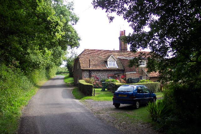
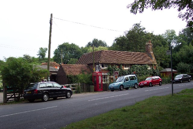
Situated in the heart of a small village, Hole Street is lined with a mix of traditional cottages and Georgian-style houses, each showcasing unique architectural features. The street is adorned with well-manicured gardens, colorful flower beds, and tree-lined sidewalks, adding to its overall charm.
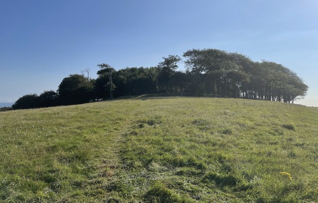
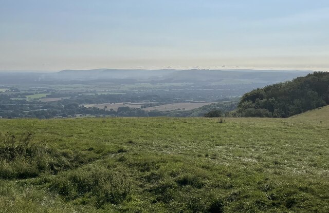
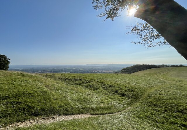
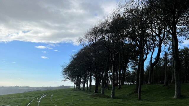
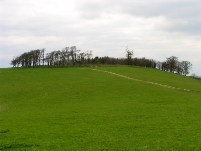
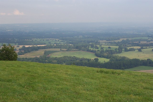
One of the striking features of Hole Street is its close proximity to the beautiful Sussex countryside. The street offers stunning views of rolling hills, lush green meadows, and the occasional glimpse of grazing livestock. This makes it a popular destination for nature enthusiasts and photographers seeking to capture the essence of rural England.
Hole Street is also notable for its historical significance. The village itself holds a rich history, with evidence of its existence dating back several centuries. The street's name is believed to be derived from an old English word meaning "hollow" or "depression," possibly due to its geographical location.
Although Hole Street is relatively quiet, it is well-connected to the nearby town center, offering easy access to amenities such as shops, restaurants, and schools. The street also benefits from excellent transport links, with regular bus services and nearby train stations providing convenient transportation options for residents and visitors alike.
Overall, Hole Street in Sussex is a charming and historically significant location, offering a peaceful and picturesque setting for those seeking a slice of traditional English countryside life.
If you have any feedback on the listing, please let us know in the comments section below.
Hole Street Images
Images are sourced within 2km of 50.914216/-0.3797278 or Grid Reference TQ1414. Thanks to Geograph Open Source API. All images are credited.


Hole Street is located at Grid Ref: TQ1414 (Lat: 50.914216, Lng: -0.3797278)
Administrative County: West Sussex
District: Horsham
Police Authority: Sussex
What 3 Words
///jumbo.client.neat. Near Washington, West Sussex
Nearby Locations
Related Wikis

Wiston, West Sussex
Wiston is a scattered village and civil parish in the Horsham District of West Sussex, England. It lies on the A283 road 2.8 miles (4.5 km) northwest of...

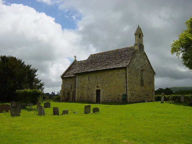
All Saints Church, Buncton
All Saints Church is an Anglican church in the hamlet of Buncton in the district of Horsham, one of seven local government districts in the English county...
Buncton
Buncton () is a small village in the Horsham District of West Sussex, England, part of the civil parish of Wiston 0.5 miles (0.80 km) north. It lies to...

South Downs National Park
The South Downs National Park is England's newest national park, designated on 31 March 2010. The park, covering an area of 1,627 square kilometres (628...
Nearby Amenities
Located within 500m of 50.914216,-0.3797278Have you been to Hole Street?
Leave your review of Hole Street below (or comments, questions and feedback).