Brandon
Settlement in Durham
England
Brandon
Brandon is a small village located in County Durham, in the northeast of England. Situated approximately 4 miles southwest of Durham city, it falls within the local government district of Durham County Council. The village is nestled on the outskirts of the larger town of Bishop Auckland and is surrounded by picturesque countryside, offering a quiet and rural setting.
Brandon has a rich history dating back to medieval times. It was originally an agricultural community, with farming being the main occupation for its inhabitants. Today, remnants of this history can still be seen in the village's architecture, with some older buildings and farms still standing.
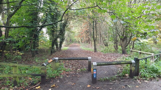
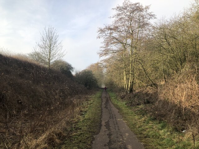
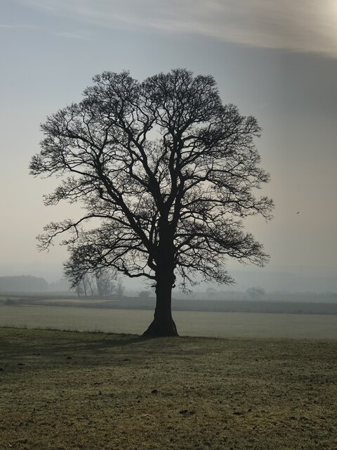
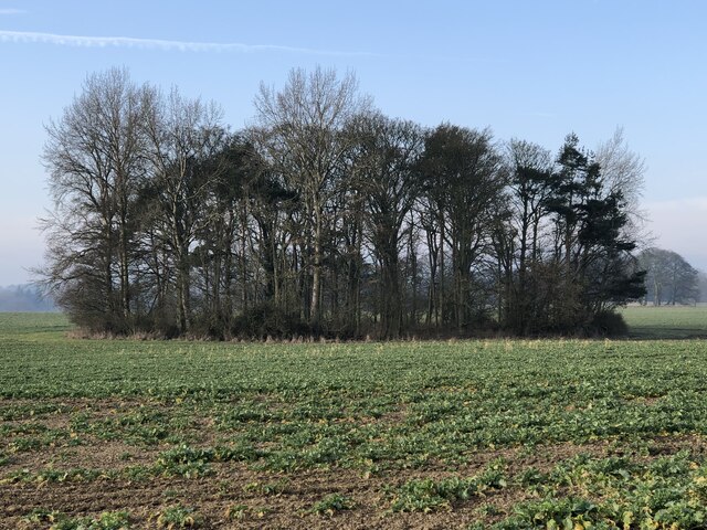
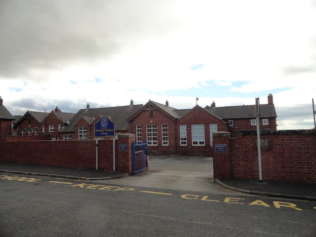
The village is home to a close-knit community of residents who take pride in their village and its heritage. It offers a range of amenities to cater to the needs of its residents, including a primary school, a local pub, and a community center. The village also boasts a number of natural attractions, such as Brandon Woods, a peaceful woodland area popular with walkers and nature enthusiasts.
While Brandon itself may be relatively small, its location provides easy access to the larger towns and cities in the region. Durham city, with its renowned cathedral and university, is just a short drive away, offering a wealth of cultural, educational, and employment opportunities.
Overall, Brandon offers a tranquil and friendly place to live, combining the benefits of a rural setting with the convenience of being close to larger urban areas.
If you have any feedback on the listing, please let us know in the comments section below.
Brandon Images
Images are sourced within 2km of 54.751818/-1.6285992 or Grid Reference NZ2439. Thanks to Geograph Open Source API. All images are credited.


Brandon is located at Grid Ref: NZ2439 (Lat: 54.751818, Lng: -1.6285992)
Unitary Authority: County Durham
Police Authority: Durham
What 3 Words
///mailboxes.manicured.cries. Near Brandon, Co. Durham
Related Wikis
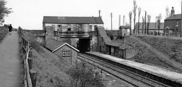
Brandon Colliery railway station
Brandon Colliery railway station served the village of Brandon, County Durham, England from 1861 to 1964 on the Durham to Bishop Auckland Line. == History... ==

Brandon, County Durham
Brandon is a village in County Durham, England. It is situated a short distance to the southwest of Durham. Brandon was originally one of the seven townships...
Brandon United F.C.
Brandon United Football Club is a football club based in Brandon, County Durham, England. They are currently members of the Northern League Division Two...

Meadowfield
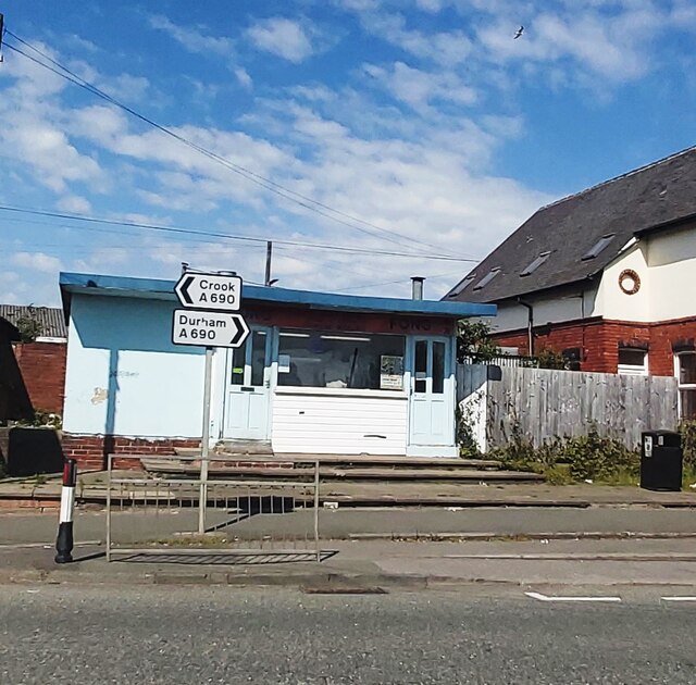
Meadowfield is a small village in County Durham, England, situated approximately two miles south-west of Durham on the A690. It is situated within the...
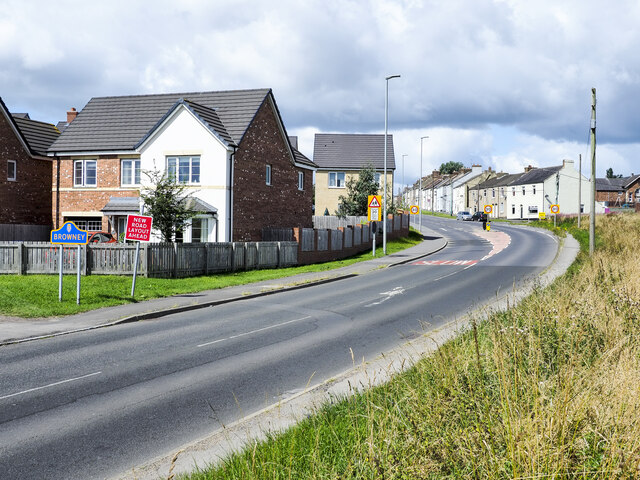
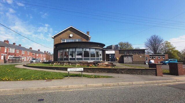
Browney
Browney is a village in County Durham, England. It is situated to the south-west of Durham and adjoins Meadowfield. It is part of the parish of Brandon...

Langley Moor
Langley Moor is an old pit village in County Durham, England. It is located approximately 2 miles south-west of Durham City. Langley Moor is within the...
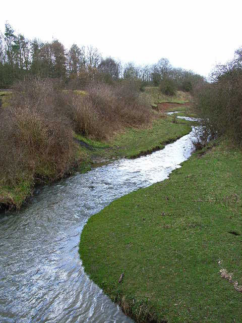
River Deerness
The River Deerness in County Durham, England is a tributary to the River Browney, which is itself a tributary the River Wear. It rises near Tow Law and...
Broompark
Broompark is a village in County Durham, England. It is situated some 3 miles (4.8 km) west of Durham city. It was once the site of the Broompark colliery...
Nearby Amenities
Located within 500m of 54.751818,-1.6285992Have you been to Brandon?
Leave your review of Brandon below (or comments, questions and feedback).