Brandhall

Settlement in Worcestershire

England

Brandhall

Sandwell Border The view from Nimmings Road in Halesowen Dudley towards Rowley Regis.
Sandwell Border Credit: Gordon Griffiths

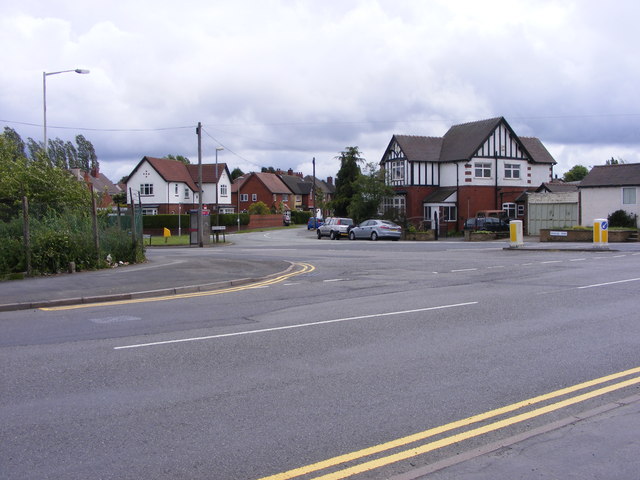
Brandhall is a suburban area located in the Metropolitan Borough of Sandwell, Worcestershire, England. It is situated approximately 7 miles west of Birmingham city center and is part of the wider Black Country region. The area is predominantly residential, with a mix of housing types including semi-detached and terraced houses, as well as some apartment complexes.

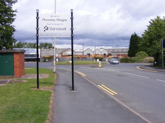
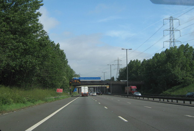
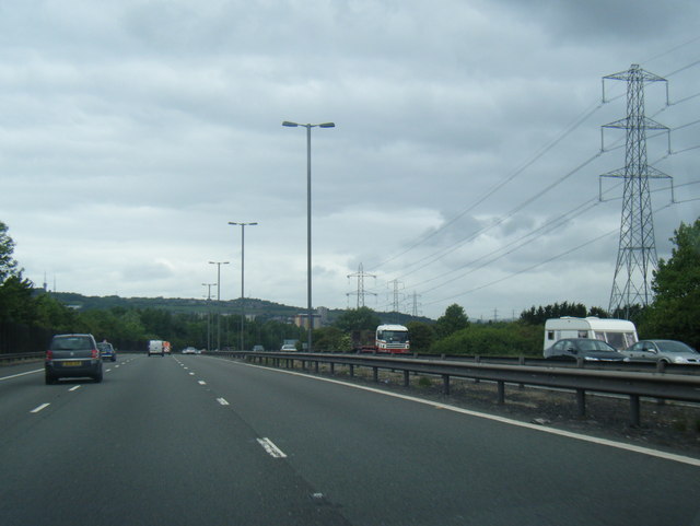
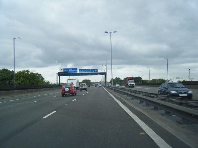
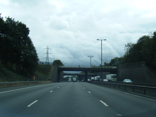
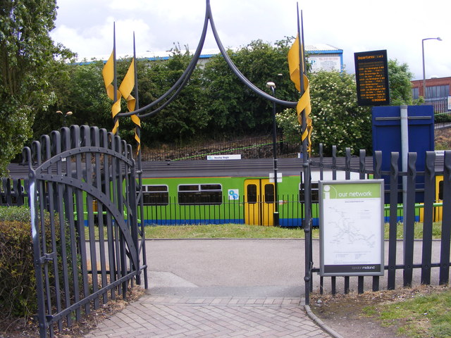
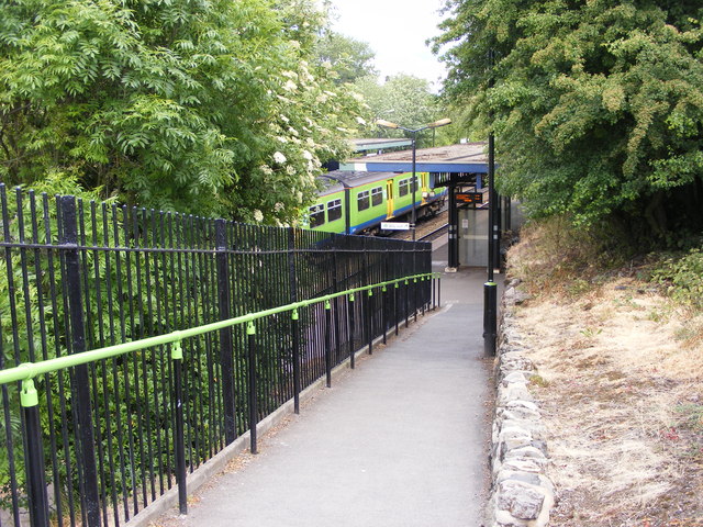
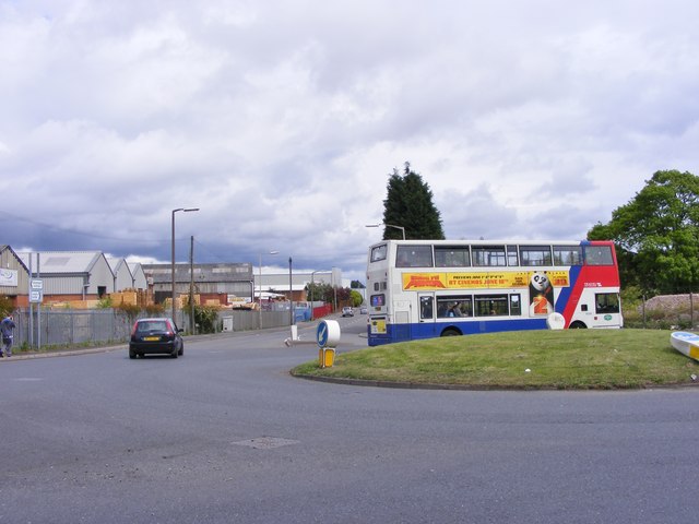
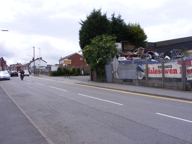
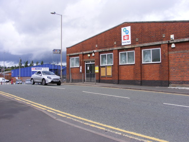
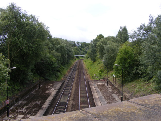
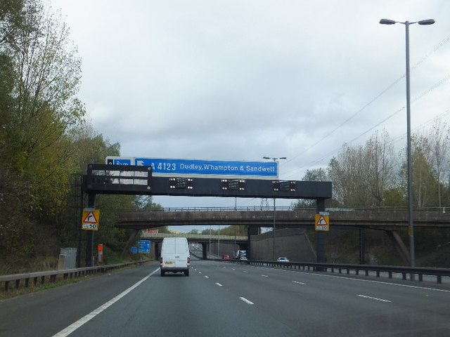
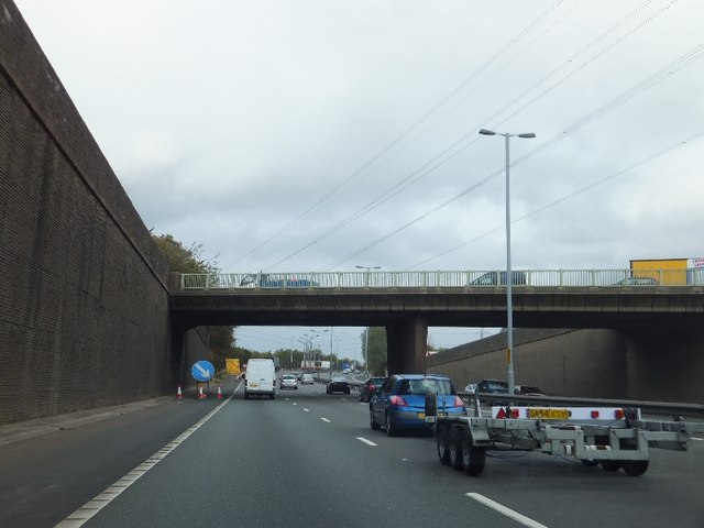
Brandhall is well-connected to other parts of the region, with good transportation links including several bus routes and nearby train stations such as Old Hill and Langley Green. The area also benefits from easy access to major roads, including the M5 motorway, providing convenient travel options for residents and visitors alike.

Amenities in Brandhall include a range of local shops, supermarkets, and services, providing for the everyday needs of its residents. There are also a few pubs and restaurants in the area, offering dining and socializing options.

One notable feature of Brandhall is its proximity to outdoor green spaces, including the Brandhall Golf Course and Warley Woods. These areas provide opportunities for leisure activities such as walking, jogging, and golfing, allowing residents to enjoy the natural surroundings.

The community in Brandhall is diverse, with a mix of different cultures and backgrounds. The area is home to several schools, including primary and secondary schools, providing education for local children.

Overall, Brandhall offers a suburban lifestyle with convenient access to amenities, transportation links, and green spaces, making it an attractive place to live within the Worcestershire region.

If you have any feedback on the listing, please let us know in the comments section below.

Brandhall Images

Images are sourced within 2km of 52.472084/-2.012481 or Grid Reference SO9986. Thanks to Geograph Open Source API. All images are credited.

Sandwell Border The view from Nimmings Road in Halesowen Dudley towards Rowley Regis.
Sandwell Border
The view from Nimmings Road in Halesowen Dudley towards Rowley Regis.
M5 Motorway, B4169 Crossing Just Before Junction 3, Northboundj
A458 Halesowen Road, Victoria Avenue Junction. Dallows Monuments on Corner Serving Cemetery Opposite.
A458 Halesowen Road, Victoria Avenue Junction.
Dallows Monuments on Corner Serving Cemetery Opposite.
M5 northbound near Blackheath
M5 northbound approaching junction 2
M5 southbound
M5 southbound
Railway Car Park The view alongside Rowley Regis Railway Station.
Railway Car Park
The view alongside Rowley Regis Railway Station.
Station Gate The view into Rowley Regis Railway Station from the car park.
Station Gate
The view into Rowley Regis Railway Station from the car park.
Station Path The view down the path to Rowley Regis Railway Station.
Station Path
The view down the path to Rowley Regis Railway Station.
Island Bus The view across the roundabout down Cakemore Road near Rowley Regis Railway Station.
Island Bus
The view across the roundabout down Cakemore Road near Rowley Regis Railway Station.
Nimmings Road The view in Rowley Regis on the border of Halesowen.
Nimmings Road
The view in Rowley Regis on the border of Halesowen.
Douglas Road Junction The view in Rowley Regis Railway from Nimmings Road.
Douglas Road Junction
The view in Rowley Regis Railway from Nimmings Road.
Halesowen Scrapyard The view in Nimmings Road Rowley Regis.
Halesowen Scrapyard
The view in Nimmings Road Rowley Regis.
Rowley Regis Station The view in Station Road of Rowley Regis Railway Station.
Rowley Regis Station
The view in Station Road of Rowley Regis Railway Station.
Platform View The view from Station Road bridge of the track at Rowley Regis Railway Station.
Platform View
The view from Station Road bridge of the track at Rowley Regis Railway Station.
M5 in Quinton Two bridges close to each other in Quinton
M5 in Quinton
Two bridges close to each other in Quinton
Motorway gantry over M5, with footbridge and road bridge beyond Advance warning for junction 2 of the M5
Motorway gantry over M5, with footbridge and road bridge beyond
Advance warning for junction 2 of the M5
Penncricket Lane bridge over M5
Show me another place!

Brandhall is located at Grid Ref: SO9986 (Lat: 52.472084, Lng: -2.012481)

Unitary Authority: Sandwell

Police Authority: West Midlands

What 3 Words

///plays.funds.sticks. Near Rowley Regis, West Midlands

Nearby Locations

Brandhall Causeway Green

Related Wikis

Perryfields Academy

Perryfields Academy (formerly Perryfields High School) is a coeducational secondary school located on the Brandhall housing estate in Oldbury, West Midlands...

Hurst Green, West Midlands

Hurst Green is a suburb of Halesowen in the Metropolitan Borough of Dudley, located on its north-eastern side. Its principal thoroughfares are Narrow Lane/Fairfield...

Brandhall

Brandhall is a suburb of Oldbury in the south of the Metropolitan Borough of Sandwell, West Midlands, bordering Birmingham and Halesowen. The development...

Oldbury Academy

Oldbury Academy (formerly Oldbury College of Sport) is a mixed secondary school and former sixth form located in Oldbury, West Midlands, England. It opened...

Nearby Amenities

Located within 500m of 52.472084,-2.012481
Post Box
Collection Times: Mo-Fr 16:00; Sa 12:00
Operator: Royal Mail
Operator Wikidata: Q638098
Post Box Type: pillar
Ref: B62 269D
Royal Cypher: EIIR
Lat/Long: 52.470573/-2.016525
Crossing
Crossing: traffic_signals
Crossing Island: no
Crossing Ref: toucan
Lat/Long: 52.4707125/-2.0110016
Mini Roundabout
Direction: clockwise
Lat/Long: 52.4697478/-2.0090591
Crossing
Crossing: traffic_signals
Crossing Ref: toucan
Lat/Long: 52.4737164/-2.0069045
Post Box
Collection Times: Mo-Fr 09:00; Sa 07:00
Postal Code: B68
Ref: B68 976
Royal Cypher: EIIR
Royal Cypher Wikidata: Q33102113
Lat/Long: 52.4709942/-2.0072435
Power: tower
Source: Bing
Lat/Long: 52.4704072/-2.0143503
Power: tower
Source: Bing
Lat/Long: 52.4736514/-2.0171773
Post Box
Postal Code: B68
Ref: B68 1101
Lat/Long: 52.4685175/-2.0101808
Bus Stop
Lansdowne Rd / Hurst Green Rd
Bus: yes
Naptan AtcoCode: 43000827001
Naptan Bearing: N
Naptan BusStopType: MKD
Naptan CommonName: Hurst Green Rd
Naptan Indicator: after
Naptan NaptanCode: nwmjtjwd
Naptan PlusbusZoneRef: BHAMNWS
Naptan Status: ACT
Naptan StopType: BCT
Naptan Street: LANSDOWNE RD
Naptan Towards: Causeway Green
Public Transport: platform
Route Ref: 20;49;129
Shelter: no
Source: WMCA
Towards: Causeway Green
Lat/Long: 52.4715295/-2.0197859
Bus Stop
Hurst Green Rd / M5 Flyover
NaPTANAreaCode: 43000802101
Bench: yes
Bin: yes
Bus: yes
Lit: yes
Naptan AtcoCode: 43000802101
Naptan Bearing: E
Naptan BusStopType: MKD
Naptan CommonName: M5 Flyover
Naptan Indicator: before
Naptan NaptanCode: nwmjpwam
Naptan PlusbusZoneRef: BHAMNWS
Naptan Status: ACT
Naptan StopType: BCT
Naptan Street: HURST GREEN RD
Naptan Towards: Brandhall
Naptan Verified: no
Public Transport: platform
Route Ref: 20;49;127
Shelter: yes
Shelter Ref: 407003
Source: WMCA
Tactile Paving: no
Lat/Long: 52.471167/-2.0161203
Bus Stop
Hurst Green Rd / M5 Flyover
NaPTANAreaCode: 43000802102
Bench: yes
Bin: no
Bus: yes
Lit: yes
Naptan AtcoCode: 43000802102
Naptan Bearing: W
Naptan BusStopType: MKD
Naptan CommonName: M5 Flyover
Naptan Indicator: after
Naptan NaptanCode: nwmjpwap
Naptan PlusbusZoneRef: BHAMNWS
Naptan Status: ACT
Naptan StopType: BCT
Naptan Street: HURST GREEN RD
Naptan Towards: Blackheath, Causeway Green
Naptan Verified: no
Public Transport: platform
Route Ref: 20;49;127
Shelter: yes
Shelter Ref: 407004
Source: WMCA
Tactile Paving: no
Lat/Long: 52.4710814/-2.0161789
Bus Stop
Lansdowne Rd / Mayfield Rd
Asset Ref: 0802201
Bus: yes
Location: Lansdowne Road;Mayfield Road
Naptan AtcoCode: 43000802201
Naptan Bearing: S
Naptan BusStopType: MKD
Naptan CommonName: Mayfield Rd
Naptan Indicator: adj
Naptan NaptanCode: nwmjpwat
Naptan PlusbusZoneRef: BHAMNWS
Naptan Status: ACT
Naptan StopType: BCT
Naptan Street: LANSDOWNE RD
Naptan Towards: Blackheath, Brandhall
Public Transport: platform
Route Ref: 20;49;129
Source: WMCA
Towards: Blackheath;Brandhall
Lat/Long: 52.4731294/-2.0191395
Bus Stop
Lansdowne Rd / Mayfield Rd
NaPTANAreaCode: 43000802202
Bus: yes
Naptan AtcoCode: 43000802202
Naptan Bearing: N
Naptan BusStopType: MKD
Naptan CommonName: Mayfield Rd
Naptan Indicator: opp
Naptan NaptanCode: nwmjpwaw
Naptan PlusbusZoneRef: BHAMNWS
Naptan Status: ACT
Naptan StopType: BCT
Naptan Street: LANSDOWNE RD
Naptan Towards: Causeway Green
Public Transport: platform
Route Ref: 20;49;129
Shelter: yes
Shelter Ref: 407005
Source: WMCA
Lat/Long: 52.4735239/-2.0190195
Bus Stop
Queensway / Tame Rd
Bus: yes
Naptan AtcoCode: 43000901703
Naptan Bearing: SE
Naptan BusStopType: MKD
Naptan CommonName: Tame Rd
Naptan Indicator: opp
Naptan Landmark: Baptist church
Naptan NaptanCode: nwmpapwa
Naptan PlusbusZoneRef: BHAMNWS
Naptan Status: ACT
Naptan StopType: BCT
Naptan Street: QUEENSWAY
Naptan Towards: Quinton
Naptan Verified: no
Public Transport: platform
Route Ref: 49;54;54A
Source: WMCA
Lat/Long: 52.469661/-2.0063889
Bus Stop
Tame Rd / Pitfields Close
Asset Ref: 0931201
Bench: no
Bin: no
Bus: yes
Lit: yes
Location: Tame Road;Pitfields Close
Naptan AtcoCode: 43000931201
Naptan Bearing: SE
Naptan BusStopType: MKD
Naptan CommonName: Pitfields Close
Naptan Indicator: opp
Naptan NaptanCode: nwmpdjwj
Naptan PlusbusZoneRef: BHAMNWS
Naptan Status: ACT
Naptan StopType: BCT
Naptan Street: TAME RD
Naptan Towards: Warley
Public Transport: platform
Route Ref: 20;49;127
Shelter: no
Source: WMCA
Tactile Paving: no
Towards: Warley
Lat/Long: 52.470942/-2.0117153
Bus Stop
Tame Rd / Pitfields Close
NaPTANAreaCode: 43000931202
Asset Ref: 307045
Bench: yes
Bin: no
Bus: yes
Lit: no
Location: Tame Road;Pitfields Close
Naptan AtcoCode: 43000931202
Naptan Bearing: NW
Naptan BusStopType: MKD
Naptan CommonName: Pitfields Close
Naptan Indicator: adj
Naptan NaptanCode: nwmpdjwm
Naptan PlusbusZoneRef: BHAMNWS
Naptan Status: ACT
Naptan StopType: BCT
Naptan Street: TAME RD
Naptan Towards: Blackheath, Causeway Green
Public Transport: platform
Route Ref: 20;49;127
Shelter: yes
Shelter Ref: 307045
Source: WMCA
Tactile Paving: no
Towards: Blackheath;Causeway Green
Lat/Long: 52.4709315/-2.0119613
Bus Stop
Tame Rd / Malvern Rd
Bench: no
Bin: no
Bus: yes
Lit: no
Naptan AtcoCode: 43000931301
Naptan Bearing: NW
Naptan BusStopType: MKD
Naptan CommonName: Malvern Road
Naptan Indicator: after
Naptan NaptanCode: nwmpdjwp
Naptan PlusbusZoneRef: BHAMNWS
Naptan Status: ACT
Naptan StopType: BCT
Naptan Street: TAME RD
Naptan Towards: Blackheath, Causeway Green
Naptan Verified: no
Public Transport: platform
Route Ref: 20;49;127
Shelter: no
Source: WMCA
Tactile Paving: no
Lat/Long: 52.4700204/-2.0097749
Bus Stop
Tame Rd / Malvern Rd
NaPTANAreaCode: 43000931302
Bench: yes
Bus: yes
Naptan AtcoCode: 43000931302
Naptan Bearing: SE
Naptan BusStopType: MKD
Naptan CommonName: Malvern Rd
Naptan Indicator: opp
Naptan NaptanCode: nwmtmwgp
Naptan PlusbusZoneRef: BHAMNWS
Naptan Status: ACT
Naptan StopType: BCT
Naptan Street: TAME RD
Naptan Towards: Warley
Naptan Verified: no
Public Transport: platform
Route Ref: 20;49;127
Shelter: yes
Shelter Ref: 307108
Source: WMCA
Lat/Long: 52.4694811/-2.0080966
Bus Stop
Queensway / Worcester Rd
Bench: no
Bin: no
Bus: yes
Lit: yes
Naptan AtcoCode: 43000931501
Naptan Bearing: SE
Naptan BusStopType: MKD
Naptan CommonName: Worcester Rd
Naptan Indicator: opp
Naptan NaptanCode: nwmpdmaj
Naptan PlusbusZoneRef: BHAMNWS
Naptan Status: ACT
Naptan StopType: BCT
Naptan Street: QUEENSWAY
Naptan Towards: Brandhall
Naptan Verified: no
Public Transport: platform
Route Ref: 49;54;54A
Shelter: no
Source: WMCA
Tactile Paving: no
Lat/Long: 52.4711353/-2.0073608
Bus Stop
Queensway / Worcester Rd
Bench: no
Bin: no
Bus: yes
Lit: yes
Naptan AtcoCode: 43000931502
Naptan Bearing: N
Naptan BusStopType: MKD
Naptan CommonName: Worcester Rd
Naptan Indicator: adj
Naptan NaptanCode: nwmpdmam
Naptan PlusbusZoneRef: BHAMNWS
Naptan Status: ACT
Naptan StopType: BCT
Naptan Street: QUEENSWAY
Naptan Towards: Bearwood
Naptan Verified: no
Public Transport: platform
Route Ref: 49;54;54A
Shelter: no
Source: WMCA
Tactile Paving: no
Lat/Long: 52.4715488/-2.0080969
Bus Stop
Queensway / Brennand Rd
Bus: yes
Naptan AtcoCode: 43000931601
Naptan Bearing: NE
Naptan BusStopType: MKD
Naptan CommonName: Brennand Rd
Naptan Indicator: opp
Naptan NaptanCode: nwmpdmap
Naptan PlusbusZoneRef: BHAMNWS
Naptan Status: ACT
Naptan StopType: BCT
Naptan Street: QUEENSWAY
Naptan Towards: Bearwood
Naptan Verified: no
Public Transport: platform
Route Ref: 49;54;54A
Source: WMCA
Lat/Long: 52.4731401/-2.0078764
Bus Stop
Queensway / Brennand Rd
Bus: yes
Naptan AtcoCode: 43000931602
Naptan Bearing: SW
Naptan BusStopType: MKD
Naptan CommonName: Brennand Rd
Naptan Indicator: adj
Naptan NaptanCode: nwmpdmat
Naptan PlusbusZoneRef: BHAMNWS
Naptan Status: ACT
Naptan StopType: BCT
Naptan Street: QUEENSWAY
Naptan Towards: Brandhall
Naptan Verified: no
Public Transport: platform
Route Ref: 49;54;54A
Source: WMCA
Lat/Long: 52.4733723/-2.0072353
Turning Circle
Source: bing
Lat/Long: 52.471809/-2.0184071
Restaurant
Full Moon Indian Tandoori Resturant
Addr Postcode: B62 9QG
Addr Street: Hurst Green Road
Cuisine: pizza
Fhrs Id: 1204018
Source Addr: FHRS Open Data
Lat/Long: 52.470734/-2.0175098
Bbq
Lat/Long: 52.4707749/-2.0178209
Bbq
Lat/Long: 52.4707111/-2.0178343
Bbq
Lat/Long: 52.4707438/-2.0178209
Parcel Locker
Brand: InPost
Brand Wikidata: Q3182097
Collection Times: 24/7
Operator: InPost
Parcel Mail In: yes
Parcel Pickup: yes
Lat/Long: 52.4707625/-2.0165241
Bus Stop
Woodbury Rd / Woodbury Close
Bus: yes
Naptan AtcoCode: 43000802001
Naptan Bearing: N
Naptan BusStopType: CUS
Naptan CommonName: Woodbury Close
Naptan Indicator: adj
Naptan NaptanCode: nwmjpwaj
Naptan Status: ACT
Naptan StopType: BCT
Naptan Street: WOODBURY RD
Naptan Towards: Blackheath
Public Transport: platform
Route Ref: 231
Source: WMCA
Lat/Long: 52.4696064/-2.015928
Bus Stop
Woodbury Rd / Roundhills Road
Bus: yes
Naptan AtcoCode: 43008935501
Naptan Bearing: E
Naptan BusStopType: MKD
Naptan CommonName: Roundhills Road
Naptan Indicator: after
Naptan NaptanCode: nwmwgdmp
Naptan Status: ACT
Naptan StopType: BCT
Naptan Street: WOODBURY RD
Naptan Towards: Halesowen
Public Transport: platform
Route Ref: 231
Source: WMCA
Lat/Long: 52.4705501/-2.0175918
Bus Stop
Lansdowne Rd / Hurst Green Rd
Bus: yes
Naptan AtcoCode: 43000827002
Naptan Bearing: S
Naptan BusStopType: MKD
Naptan CommonName: Hurst Green Rd
Naptan Indicator: before
Naptan NaptanCode: nwmwgdpt
Naptan Status: ACT
Naptan StopType: BCT
Naptan Street: LANSDOWNE RD
Naptan Towards: Blackheath, Brandhall
Public Transport: platform
Route Ref: 20;49;129
Source: WMCA
Lat/Long: 52.4715836/-2.0195649
ShortDescription: M5/7114A M5 southBound
Bcc Ref: 30082205
Operator: National Highways
Operator Wikidata: Q5760006
Ref: M5/7114A
Traffic Sign: variable_message
Traffic Sign Location: roadside
Variable Message Information: traffic
Lat/Long: 52.4721908/-2.0163372
ShortDescription: M5/7116B M5 northBound
Bcc Ref: 30082206
Operator: National Highways
Operator Wikidata: Q5760006
Ref: M5/7116B
Traffic Sign: variable_message
Traffic Sign Location: roadside
Variable Message Information: traffic
Lat/Long: 52.4705357/-2.0154816
Generator Method: photovoltaic
Generator Output Electricity: yes
Generator Source: solar
Generator Type: solar_photovoltaic_panel
Power: generator
Lat/Long: 52.4763022/-2.0149478
Generator Method: photovoltaic
Generator Output Electricity: yes
Generator Source: solar
Generator Type: solar_photovoltaic_panel
Power: generator
Lat/Long: 52.4763709/-2.0143899
Generator Method: photovoltaic
Generator Output Electricity: yes
Generator Source: solar
Generator Type: solar_photovoltaic_panel
Location: roof
Power: generator
Lat/Long: 52.4705194/-2.0083469
Generator Method: photovoltaic
Generator Output Electricity: yes
Generator Source: solar
Generator Type: solar_photovoltaic_panel
Location: roof
Power: generator
Lat/Long: 52.4705684/-2.0082691
Generator Method: photovoltaic
Generator Output Electricity: yes
Generator Source: solar
Generator Type: solar_photovoltaic_panel
Location: roof
Power: generator
Lat/Long: 52.4690439/-2.0074859
Generator Method: photovoltaic
Generator Output Electricity: yes
Generator Source: solar
Generator Type: solar_photovoltaic_panel
Location: roof
Power: generator
Lat/Long: 52.4690178/-2.007384
Generator Method: photovoltaic
Generator Output Electricity: yes
Generator Source: solar
Generator Type: solar_photovoltaic_panel
Location: roof
Power: generator
Lat/Long: 52.4692302/-2.0102486
Generator Method: photovoltaic
Generator Output Electricity: yes
Generator Source: solar
Generator Type: solar_photovoltaic_panel
Location: roof
Power: generator
Lat/Long: 52.4697841/-2.0099643
Generator Method: photovoltaic
Generator Output Electricity: yes
Generator Source: solar
Generator Type: solar_photovoltaic_panel
Location: roof
Power: generator
Lat/Long: 52.4700659/-2.0186144
Generator Method: photovoltaic
Generator Output Electricity: yes
Generator Source: solar
Generator Type: solar_photovoltaic_panel
Location: roof
Power: generator
Lat/Long: 52.471052/-2.0194606
Generator Method: photovoltaic
Generator Output Electricity: yes
Generator Source: solar
Generator Type: solar_photovoltaic_panel
Location: roof
Power: generator
Lat/Long: 52.4713126/-2.0182054
Generator Method: photovoltaic
Generator Output Electricity: yes
Generator Source: solar
Generator Type: solar_photovoltaic_panel
Location: roof
Power: generator
Lat/Long: 52.4713167/-2.0181195
Generator Method: photovoltaic
Generator Output Electricity: yes
Generator Source: solar
Generator Type: solar_photovoltaic_panel
Location: roof
Power: generator
Lat/Long: 52.4725021/-2.0197222
The data included in this document is from www.openstreetmap.org. The data is made available under ODbL.

Have you been to Brandhall?

Leave your review of Brandhall below (or comments, questions and feedback).