Brandeston

Settlement in Suffolk East Suffolk

England

Brandeston

National Cycle Route 1, Hoo Green
National Cycle Route 1, Hoo Green Credit: JThomas

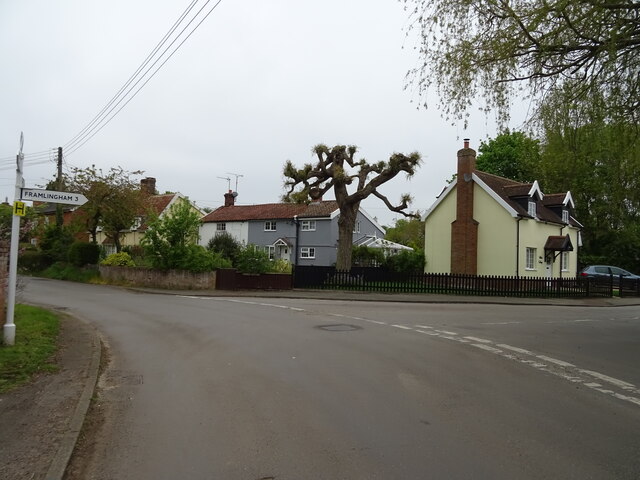
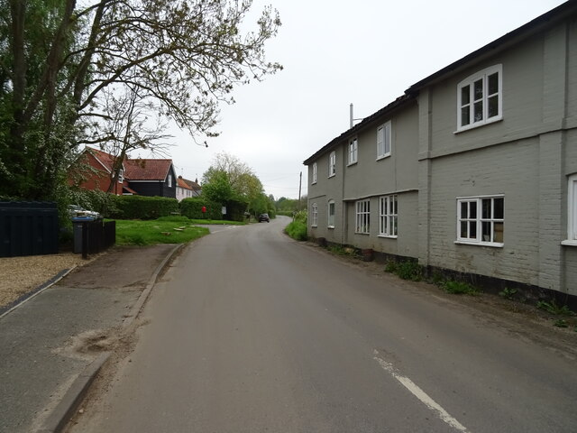
Brandeston is a small village located in the county of Suffolk, England. Situated approximately 10 miles north-east of Ipswich, it lies within the picturesque countryside of the Suffolk Coastal District. The village is surrounded by rolling farmland and is characterized by its traditional English charm.

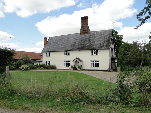
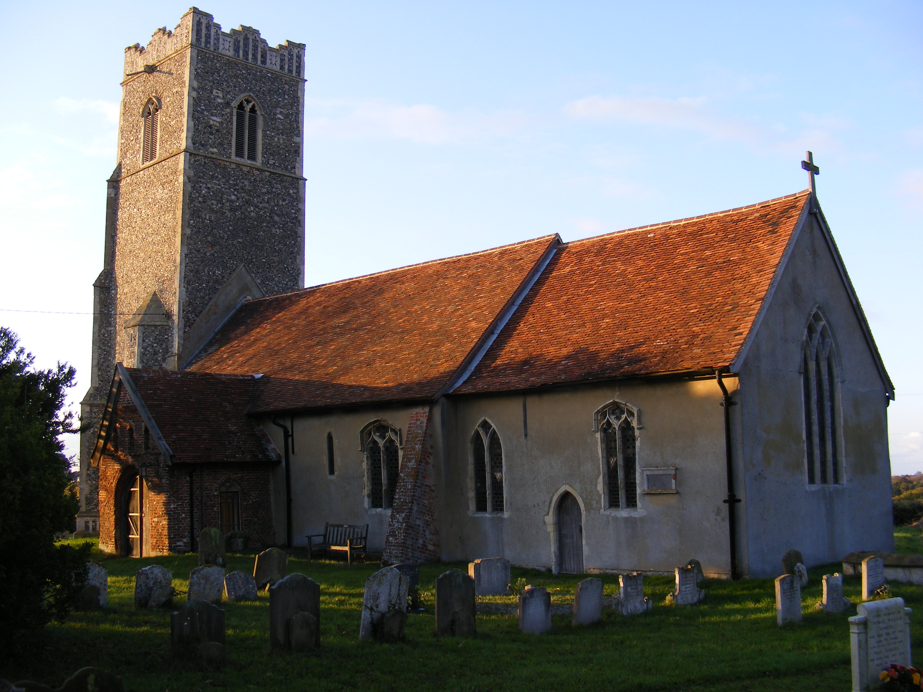
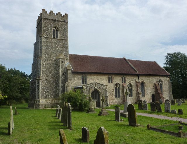
Brandeston is home to a population of around 300 residents, who enjoy a peaceful and tight-knit community atmosphere. The village is known for its beautiful architecture, with many historic buildings dating back to the 16th and 17th centuries. Notable landmarks include the St. Mary's Church, a Grade I listed building that showcases stunning medieval architecture.

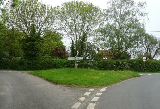
In terms of amenities, Brandeston boasts a village hall that serves as a hub for community activities and events. There is also a primary school within the village, providing education for local children. The village is well-connected to nearby towns and cities, with good road links to Ipswich and Framlingham.

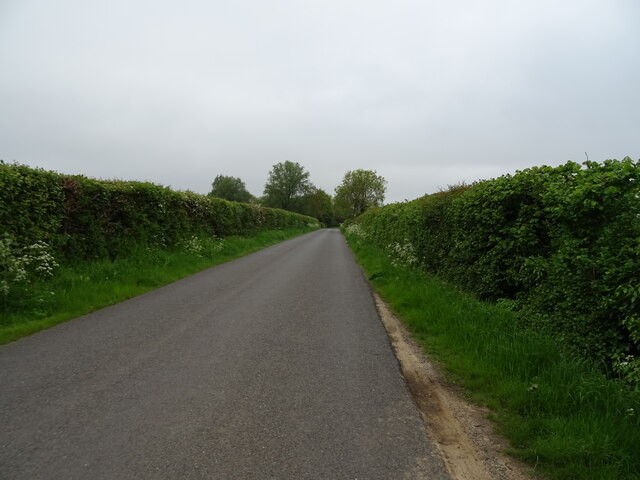
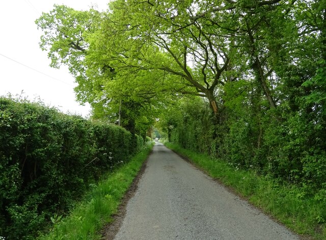
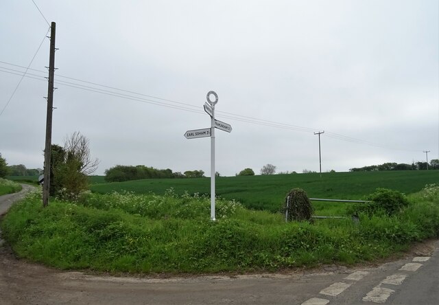
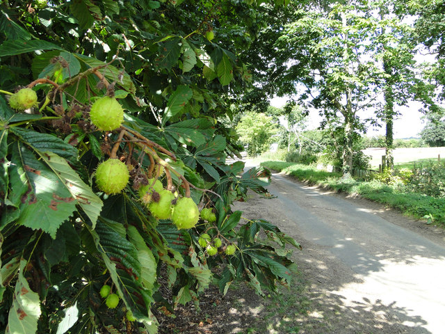
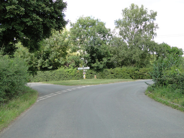
Nature lovers will appreciate the scenic surroundings of Brandeston, which offer ample opportunities for countryside walks and exploring the nearby Suffolk Coast and Heaths Area of Outstanding Natural Beauty. The village also benefits from close proximity to attractions such as Framlingham Castle and the Snape Maltings Concert Hall, which hosts a range of cultural events throughout the year.

Overall, Brandeston is a charming village that combines rich history, natural beauty, and a strong sense of community, making it an attractive place to live or visit in Suffolk.

If you have any feedback on the listing, please let us know in the comments section below.

Brandeston Images

Images are sourced within 2km of 52.197504/1.290262 or Grid Reference TM2460. Thanks to Geograph Open Source API. All images are credited.

National Cycle Route 1, Hoo Green
Road junction with fingerpost, Hoo
K6 telephone box, Hoo Does not seem to have been used for a while.
K6 telephone box, Hoo
Does not seem to have been used for a while.
Looking north on Church Lane
Cereal crop near Gibbs' Cottage
Mill Lane approaching Gibbs' Cottage
River Deben from Kettleburgh Bridge
The Chequers Inn, Kettleburgh
Sign for the Chequers Inn, Kettleburgh
Road junction, Kettleburgh
The Street, Kettleburgh
Fingerpost on junction, Kettleburgh
Elizabeth II postbox on The Street, Kettleburgh Postbox No. IP13 6280.
See <a href="https://www.geograph.org.uk/photo/7498862">TM2660 : House on The Street, Kettleburgh</a> for context.
Elizabeth II postbox on The Street, Kettleburgh
Postbox No. IP13 6280. See TM2660 : House on The Street, Kettleburgh for context.
House on The Street, Kettleburgh Showing position of Postbox No. IP13 6280.
See <a href="https://www.geograph.org.uk/photo/7498859">TM2660 : Elizabeth II postbox on The Street, Kettleburgh</a> for postbox.
House on The Street, Kettleburgh
Showing position of Postbox No. IP13 6280. See TM2660 : Elizabeth II postbox on The Street, Kettleburgh for postbox.
The Chestnuts, Monewden
Ripening conkers ... ...despite the tree being infected with guignardia aesculi
Ripening conkers ...
...despite the tree being infected with guignardia aesculi
Road junction at Hoo Green
Gibb's Cottage
Gibb's Cottage
Show me another place!

Brandeston is located at Grid Ref: TM2460 (Lat: 52.197504, Lng: 1.290262)

Administrative County: Suffolk

District: East Suffolk

Police Authority: Suffolk

What 3 Words

///teaspoons.staple.establish. Near Framlingham, Suffolk

Related Wikis

Brandeston

Brandeston is a village in Suffolk, England on the River Deben 11 miles (18 km) northeast of Ipswich. Brandeston is west of Kettleburgh and northwest of...

All Saints' Church, Brandeston

The Church of All Saints is a Church of England parish church in Brandeston, Suffolk, England. The church dates from the Middle Age and is a Grade I listed...

Brandeston Hall

Brandeston Hall is a grade II* listed house in Old Maids Lane, Brandeston, Suffolk, England.The Hall is the former manor house of Brandeston but is now...

Hoo, Suffolk

Hoo is a village and civil parish in the East Suffolk district of the English county of Suffolk. It is located 3 miles (4.8 km) north-west of the town...

Cretingham

Cretingham is a village and a civil parish in the East Suffolk district, in the English county of Suffolk. It is on the River Deben, 2 miles south off...

Monewden

Monewden ( MON-ə-dən) is a small village and a civil parish in the hundred of Loss (Also: Loes, Loose), in the East Suffolk District, in the English county...
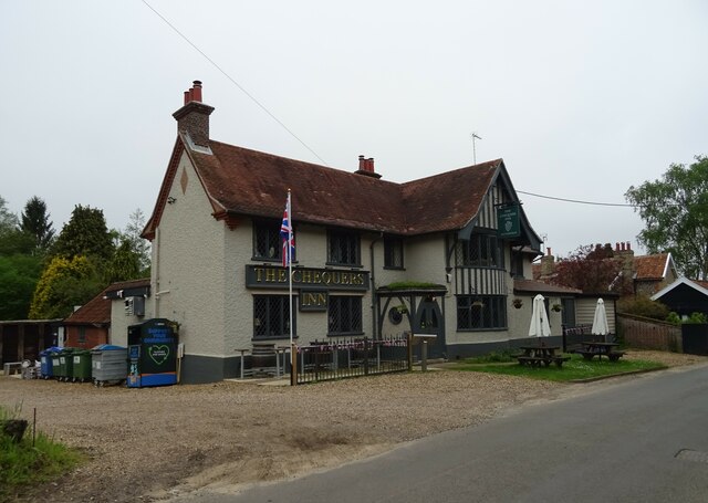
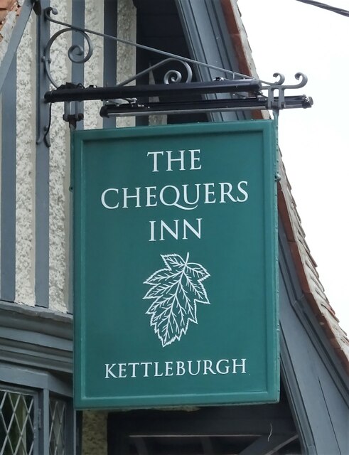
Kettleburgh

Kettleburgh is a small village and civil parish in the East Suffolk district, in the county of Suffolk. The population of this Civil Parish at the 2011...

East Suffolk (county)

East Suffolk, along with West Suffolk, was created in 1888 as an administrative county of England. The administrative county was based on the eastern quarter...

Nearby Amenities

Located within 500m of 52.197504,1.290262
Brandeston
Place: village
Wikidata: Q2102542
Wikipedia: en:Brandeston
Lat/Long: 52.1979805/1.2890911
Bus Stop
Queens Head
Local Ref: adj
Naptan AtcoCode: 390060296
Naptan Bearing: E
Naptan CommonName: Queens Head
Naptan Indicator: adj
Naptan Landmark: Queens Head
Naptan NaptanCode: sufgpdtj
Naptan Street: Mutton Lane
Naptan Verified: no
Public Transport: platform
Source: naptan_import
Lat/Long: 52.1974889/1.2896251
Bus Stop
Queens Head
Local Ref: opp
Naptan AtcoCode: 390060297
Naptan Bearing: W
Naptan BusStopType: CUS
Naptan CommonName: Queens Head
Naptan Indicator: opp
Naptan Landmark: Queens Head
Naptan NaptanCode: sufgpdtm
Naptan Street: Mutton Lane
Naptan Verified: no
Source: naptan_import
Lat/Long: 52.197362/1.2895989
Pond Piece
Naptan AtcoCode: 390060955
Naptan Bearing: SE
Naptan BusStopType: CUS
Naptan CommonName: Pond Piece
Naptan Indicator: adj
Naptan Landmark: Pond Piece
Naptan NaptanCode: sufjmawj
Naptan Street: The Street
Naptan Verified: no
Source: naptan_import
Lat/Long: 52.197937/1.2883402
Pond Piece
Naptan AtcoCode: 390060956
Naptan Bearing: NW
Naptan BusStopType: CUS
Naptan CommonName: Pond Piece
Naptan Indicator: opp
Naptan Landmark: Pond Piece
Naptan NaptanCode: sufjmawm
Naptan Street: The Street
Naptan Verified: no
Source: naptan_import
Lat/Long: 52.1978133/1.2882579
Pub
The Queen
Addr Postcode: IP13 7AD
Addr Street: The Street
Fhrs Id: 956187
Url: http://www.thequeenatbrandeston.co.uk/
Lat/Long: 52.1978912/1.2897207
Post Box
Collection Times: Mo-Fr 09:00; Sa 11:30
Post Box Mounting: pier
Post Box Type: lamp
Ref: IP13 6368
Royal Cypher: EIIR
Royal Cypher Wikidata: Q33102113
Lat/Long: 52.1963962/1.2941563
Fixme: incomplete
Lat/Long: 52.1972938/1.2906104
Brandeston
Man Made: village_sign
Lat/Long: 52.1973146/1.2901666
Fixme: incomplete
Lat/Long: 52.1956879/1.287601
Barrier: kissing_gate
Lat/Long: 52.1955553/1.2876373
The data included in this document is from www.openstreetmap.org. The data is made available under ODbL.

Have you been to Brandeston?

Leave your review of Brandeston below (or comments, questions and feedback).