Causeway Green

Settlement in Worcestershire

England

Causeway Green

Sandwell Border The view from Nimmings Road in Halesowen Dudley towards Rowley Regis.
Sandwell Border Credit: Gordon Griffiths

Causeway Green is a small village located in the county of Worcestershire, England. Situated just south of the town of Halesowen, it is part of the Metropolitan Borough of Dudley. The village is nestled within a predominantly rural landscape, surrounded by lush green fields and rolling hills, which contribute to its idyllic charm.

Historically, Causeway Green has been an agricultural community, with farming being the primary occupation for many of its residents. However, in recent years, the village has seen some development and expansion, with the addition of modern housing estates.

Despite its small size, Causeway Green boasts a close-knit community where residents take pride in their village. The local amenities include a primary school, a community center, and a few shops catering to the daily needs of the residents. The village is also well-connected to nearby towns and cities, with good road links and public transportation services available.

Nature lovers will appreciate the tranquility and natural beauty that Causeway Green offers, with several walking paths and green spaces for recreational activities. The village is also close to the Clent Hills, an Area of Outstanding Natural Beauty, providing opportunities for hiking, picnicking, and enjoying panoramic views of the surrounding countryside.

Overall, Causeway Green provides a peaceful and picturesque setting for its residents, offering a balance between a rural lifestyle and convenient access to nearby urban centers.

If you have any feedback on the listing, please let us know in the comments section below.

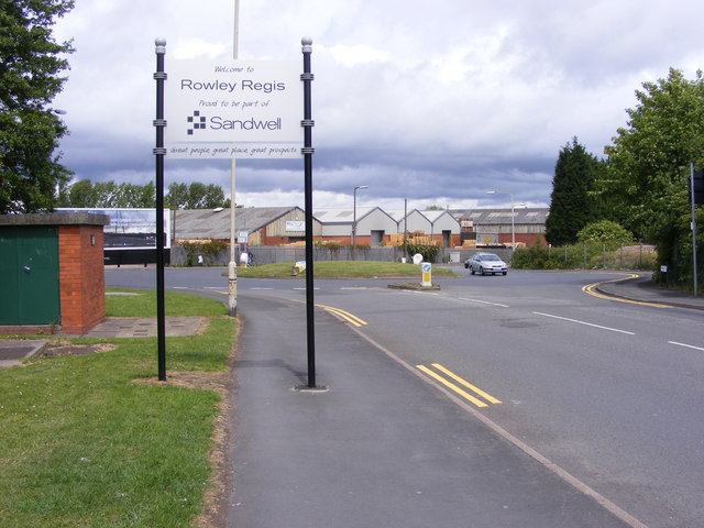
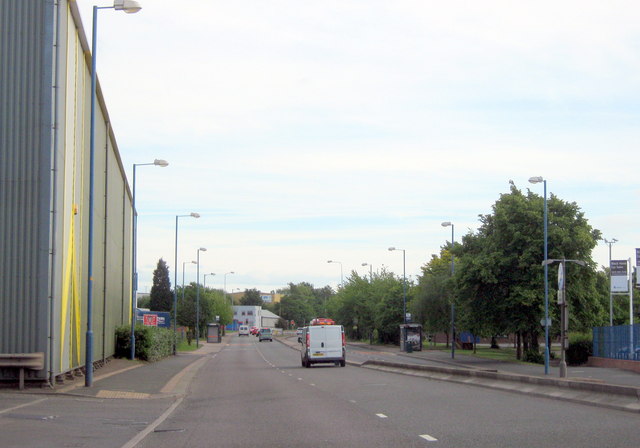
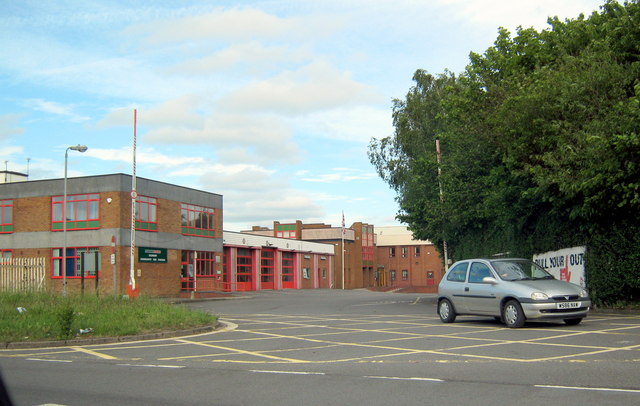
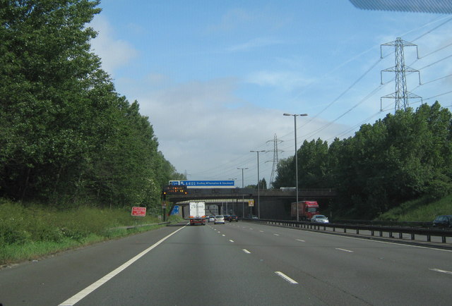
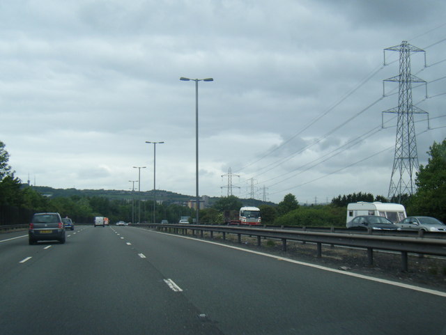
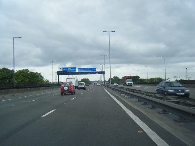
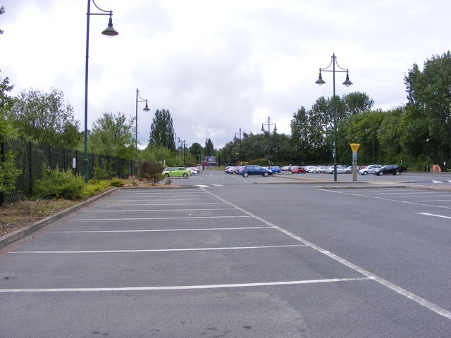
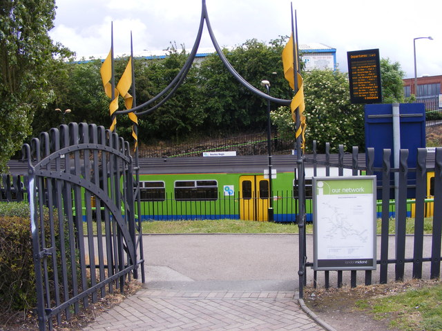
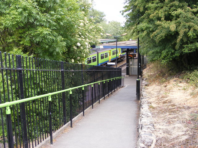
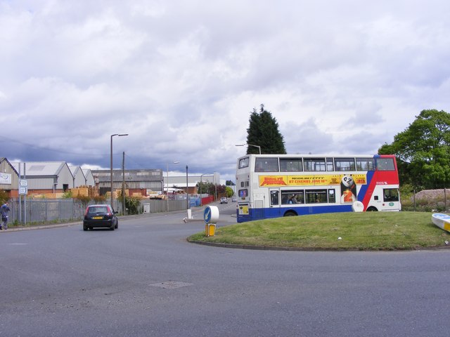
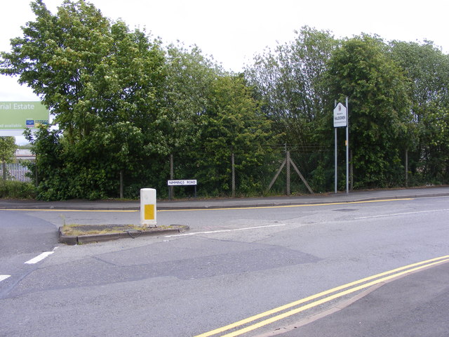
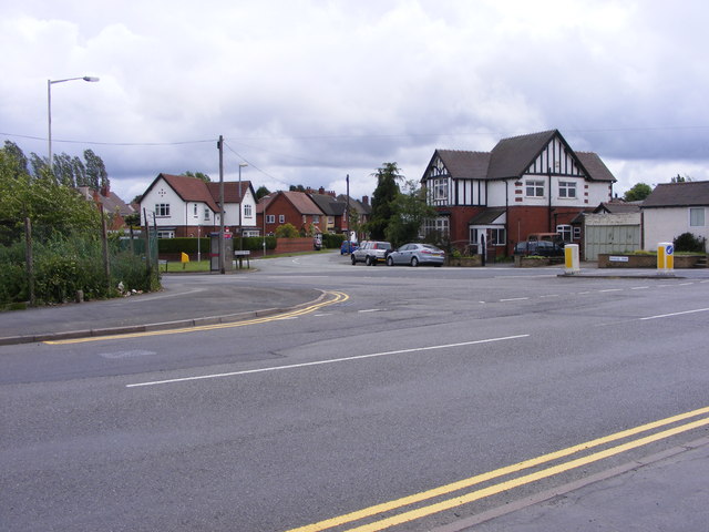
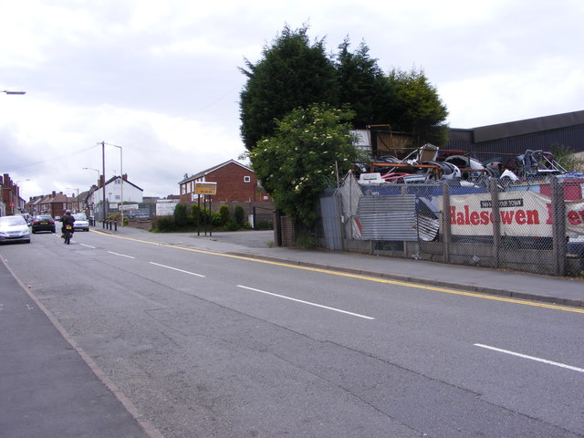
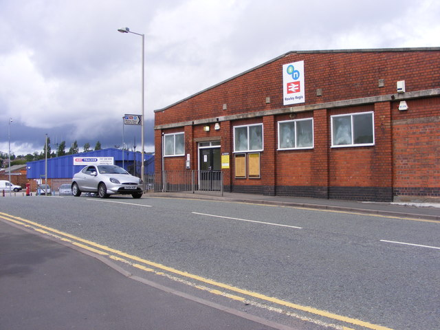
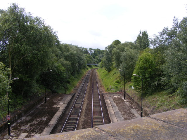
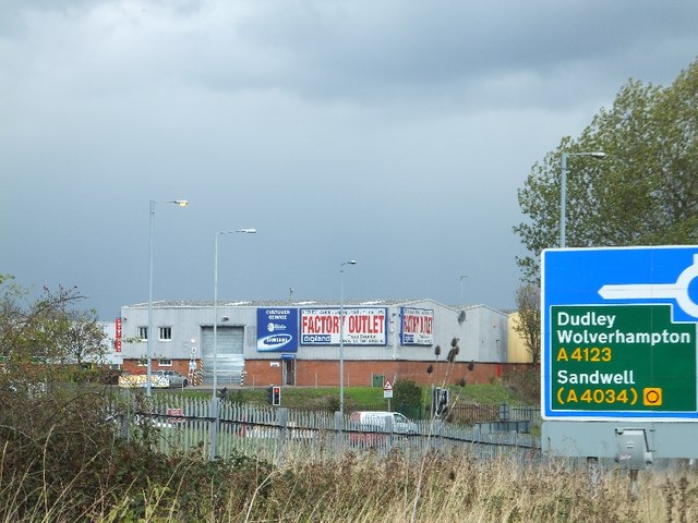
Causeway Green Images

Images are sourced within 2km of 52.480445/-2.012484 or Grid Reference SO9986. Thanks to Geograph Open Source API. All images are credited.

Sandwell Border The view from Nimmings Road in Halesowen Dudley towards Rowley Regis.
Sandwell Border
The view from Nimmings Road in Halesowen Dudley towards Rowley Regis.
Oldbury, Churchbridge, Park Street on Left in Distance
Oldbury Fire Station, Junction 2 M5 Motorway
M5 Motorway, B4169 Crossing Just Before Junction 3, Northboundj
M5 northbound near Blackheath
M5 northbound approaching junction 2
Way in and out of a trading estate
Railway Car Park The view alongside Rowley Regis Railway Station.
Railway Car Park
The view alongside Rowley Regis Railway Station.
Station Gate The view into Rowley Regis Railway Station from the car park.
Station Gate
The view into Rowley Regis Railway Station from the car park.
Station Path The view down the path to Rowley Regis Railway Station.
Station Path
The view down the path to Rowley Regis Railway Station.
Island Bus The view across the roundabout down Cakemore Road near Rowley Regis Railway Station.
Island Bus
The view across the roundabout down Cakemore Road near Rowley Regis Railway Station.
Nimmings Road The view in Rowley Regis on the border of Halesowen.
Nimmings Road
The view in Rowley Regis on the border of Halesowen.
Douglas Road Junction The view in Rowley Regis Railway from Nimmings Road.
Douglas Road Junction
The view in Rowley Regis Railway from Nimmings Road.
Halesowen Scrapyard The view in Nimmings Road Rowley Regis.
Halesowen Scrapyard
The view in Nimmings Road Rowley Regis.
Rowley Regis Station The view in Station Road of Rowley Regis Railway Station.
Rowley Regis Station
The view in Station Road of Rowley Regis Railway Station.
Platform View The view from Station Road bridge of the track at Rowley Regis Railway Station.
Platform View
The view from Station Road bridge of the track at Rowley Regis Railway Station.
Industrial units at M5 junction 2 Units in Demuth Way, Langley seen from the slip road off the M5 northbound
Industrial units at M5 junction 2
Units in Demuth Way, Langley seen from the slip road off the M5 northbound
Motorway gantry over M5, with footbridge and road bridge beyond Advance warning for junction 2 of the M5
Motorway gantry over M5, with footbridge and road bridge beyond
Advance warning for junction 2 of the M5
Show me another place!

Causeway Green is located at Grid Ref: SO9986 (Lat: 52.480445, Lng: -2.012484)

Unitary Authority: Sandwell

Police Authority: West Midlands

What 3 Words

///vast.poet.events. Near Oldbury, West Midlands

Nearby Locations

Brandhall Causeway Green

Related Wikis

Oldbury Academy

Oldbury Academy (formerly Oldbury College of Sport) is a mixed secondary school and former sixth form located in Oldbury, West Midlands, England. It opened...

Warley, West Midlands

Warley is a residential area of Oldbury in the Metropolitan Borough of Sandwell in the West Midlands of the United Kingdom. Historically in both Worcestershire...

Smethwick (UK Parliament constituency)

Smethwick was a parliamentary constituency, centred on the town of Smethwick in Staffordshire. It returned one Member of Parliament (MP) to the House of...

Q3 Academy Langley

Q3 Academy Langley is a coeducational secondary school located in the Langley Green area of Oldbury in the West Midlands of England.There has been a school...

Nearby Amenities

Located within 500m of 52.480445,-2.012484
Crossing
Crossing Ref: pelican
Lat/Long: 52.4839785/-2.0155991
Traffic Signals
Source: survey
Lat/Long: 52.481373/-2.0136266
Restaurant
Saphari
Addr Housenumber: 188
Addr Postcode: B68 8LQ
Addr Street: Causeway Green Road
Fhrs Id: 354803
Source Addr: FHRS Open Data
Lat/Long: 52.4838603/-2.0155359
Barrier: bollard
Bollard: fixed
Lat/Long: 52.4817385/-2.0072155
Turning Circle
Source: bing
Lat/Long: 52.4844002/-2.0138283
Post Box
Postal Code: B68
Ref: B68 486
Lat/Long: 52.48226/-2.0142639
Place Of Worship
Warley Institutional Church
Religion: christian
Lat/Long: 52.4802619/-2.0058312
Post Box
Ref: B68 1050
Lat/Long: 52.4782422/-2.0150269
Place Of Worship
Causway Green Methodist Church
Religion: christian
Lat/Long: 52.4822434/-2.0191185
Bus Stop
Brook Rd / St Matthews Road
Bus: yes
Naptan AtcoCode: 43000923701
Naptan Bearing: SE
Naptan BusStopType: MKD
Naptan CommonName: St Matthews Road
Naptan Indicator: before
Naptan NaptanCode: nwmpdgaj
Naptan PlusbusZoneRef: BHAMNWS
Naptan Status: ACT
Naptan StopType: BCT
Naptan Street: BROOK RD
Naptan Towards: Brandhall
Naptan Verified: no
Public Transport: platform
Route Ref: 20
Source: WMCA
Lat/Long: 52.4802237/-2.0151516
Bus Stop
Brook Rd / St Matthews Road
Bus: yes
Naptan AtcoCode: 43000923702
Naptan Bearing: NW
Naptan BusStopType: MKD
Naptan CommonName: St Matthews Road
Naptan Indicator: after
Naptan NaptanCode: nwmpdgam
Naptan PlusbusZoneRef: BHAMNWS
Naptan Status: ACT
Naptan StopType: BCT
Naptan Street: BROOK RD
Naptan Towards: Oldbury
Naptan Verified: no
Public Transport: platform
Route Ref: 20
Source: WMCA
Lat/Long: 52.4804125/-2.0154756
Bus Stop
Grafton Rd / Falcon Rd
Bus: yes
Naptan AtcoCode: 43000930301
Naptan Bearing: S
Naptan BusStopType: MKD
Naptan CommonName: Falcon Rd
Naptan Indicator: adj
Naptan NaptanCode: nwmpdjmw
Naptan PlusbusZoneRef: BHAMNWS
Naptan Status: ACT
Naptan StopType: BCT
Naptan Street: GRAFTON RD
Naptan Towards: Blackheath, Brandhall
Naptan Verified: no
Public Transport: platform
Route Ref: 49;129
Source: WMCA
Lat/Long: 52.4780746/-2.0181398
Bus Stop
Grafton Rd / Falcon Rd
NaPTANAreaCode: 43000930302
Asset Ref: 307029
Bus: yes
Location: Grafton Road;Falcon Road
Naptan AtcoCode: 43000930302
Naptan Bearing: N
Naptan BusStopType: MKD
Naptan CommonName: Falcon Rd
Naptan Indicator: opp
Naptan NaptanCode: nwmpdjpa
Naptan PlusbusZoneRef: BHAMNWS
Naptan Status: ACT
Naptan StopType: BCT
Naptan Street: GRAFTON RD
Naptan Towards: Causeway Green
Public Transport: platform
Route Ref: 49;129
Shelter: yes
Shelter Ref: 307029
Source: WMCA
Towards: Causeway Green
Lat/Long: 52.4785061/-2.0184492
Bus Stop
Pound Rd / Causeway Green
Bench: no
Bin: no
Bus: yes
Lit: no
Naptan AtcoCode: 43000930401
Naptan Bearing: NW
Naptan BusStopType: MKD
Naptan CommonName: Causeway Green
Naptan Indicator: opp
Naptan Landmark: The Barrel
Naptan NaptanCode: nwmpdjpd
Naptan PlusbusZoneRef: BHAMNWS
Naptan Status: ACT
Naptan StopType: BCT
Naptan Street: POUND RD
Naptan Towards: Blackheath
Naptan Verified: no
Public Transport: platform
Route Ref: 20;129
Shelter: no
Source: WMCA
Tactile Paving: no
Lat/Long: 52.4821924/-2.016669
Bus Stop
Pound Rd / Causeway Green
Bus: yes
Naptan AtcoCode: 43000930402
Naptan Bearing: SE
Naptan BusStopType: CUS
Naptan CommonName: Causeway Green
Naptan Indicator: adj
Naptan NaptanCode: nwmpdjpg
Naptan PlusbusZoneRef: BHAMNWS
Naptan Status: ACT
Naptan StopType: BCT
Naptan Street: POUND RD
Naptan Towards: Warley
Naptan Verified: no
Public Transport: platform
Route Ref: 20;129
Source: WMCA
Lat/Long: 52.4823362/-2.0169046
Bus Stop
Causeway Green Rd / Wolverhampton Rd Westside
NaPTANAreaCode: 43000930502
Bus: yes
Naptan AtcoCode: 43000930502
Naptan Bearing: NE
Naptan BusStopType: MKD
Naptan CommonName: Wolverhampton Rd Westside
Naptan Indicator: before
Naptan NaptanCode: nwmpdjpm
Naptan PlusbusZoneRef: BHAMNWS
Naptan Status: ACT
Naptan StopType: BCT
Naptan Street: CAUSEWAY GREEN RD
Naptan Towards: Brandhall
Naptan Verified: no
Public Transport: platform
Route Ref: 49
Shelter: yes
Shelter Ref: 307023
Source: WMCA
Lat/Long: 52.4835725/-2.0165438
Bus Stop
Wolverhampton Road / Pound Rd
NaPTANAreaCode: 43000930703
Asset Ref: 307025
Bench: yes
Bus: yes
Naptan AtcoCode: 43000930703
Naptan Bearing: SE
Naptan BusStopType: MKD
Naptan CommonName: Pound Rd
Naptan Indicator: adj
Naptan NaptanCode: nwmpdjta
Naptan PlusbusZoneRef: BHAMNWS
Naptan Status: ACT
Naptan StopType: BCT
Naptan Street: WOLVERHAMPTON ROAD
Naptan Towards: Birmingham
Public Transport: platform
Route Ref: 126
Shelter: yes
Shelter Ref: 307025
Source: WMCA
Towards: Birmingham
Lat/Long: 52.4810089/-2.0129013
Bus Stop
Wolverhampton Road / Pound Rd
Bus: yes
Naptan AtcoCode: 43000930704
Naptan Bearing: NW
Naptan BusStopType: MKD
Naptan CommonName: Pound Rd
Naptan Indicator: opp
Naptan NaptanCode: nwmpdjtd
Naptan PlusbusZoneRef: BHAMNWS
Naptan Status: ACT
Naptan StopType: BCT
Naptan Street: WOLVERHAMPTON ROAD
Naptan Towards: Dudley
Naptan Verified: no
Public Transport: platform
Route Ref: 126
Source: WMCA
Lat/Long: 52.4811751/-2.0135694
Bus Stop
Wolverhampton Road / Oldbury College Of Sport
NaPTANAreaCode: 43000930801
Asset Ref: 307138
Bus: yes
Naptan AtcoCode: 43000930801
Naptan Bearing: SE
Naptan BusStopType: MKD
Naptan CommonName: Oldbury College of Sport
Naptan Indicator: adj
Naptan NaptanCode: nwmpdjtg
Naptan PlusbusZoneRef: BHAMNWS
Naptan Status: ACT
Naptan StopType: BCT
Naptan Street: WOLVERHAMPTON ROAD
Naptan Towards: Birmingham
Public Transport: platform
Route Ref: 126
Shelter: yes
Shelter Ref: 307138
Source: WMCA
Towards: Birmingham
Lat/Long: 52.4794814/-2.0112148
Bus Stop
Wolverhampton Road / Oldbury College Of Sport
NaPTANAreaCode: 43000930802
Bus: yes
Naptan AtcoCode: 43000930802
Naptan Bearing: NW
Naptan BusStopType: MKD
Naptan CommonName: Oldbury College of Sport
Naptan Indicator: opp
Naptan NaptanCode: nwmpdjtj
Naptan PlusbusZoneRef: BHAMNWS
Naptan Status: ACT
Naptan StopType: BCT
Naptan Street: WOLVERHAMPTON ROAD
Naptan Towards: Dudley
Naptan Verified: no
Public Transport: platform
Route Ref: 126
Shelter: yes
Shelter Ref: 307139
Source: WMCA
Lat/Long: 52.4781655/-2.0099681
Bus Stop
Heron Rd / Brook Rd
Bus: yes
Naptan AtcoCode: 43000934001
Naptan Bearing: NE
Naptan BusStopType: MKD
Naptan CommonName: Brook Rd
Naptan Indicator: before
Naptan NaptanCode: nwmpdmwg
Naptan PlusbusZoneRef: BHAMNWS
Naptan Status: ACT
Naptan StopType: BCT
Naptan Street: HERON RD
Naptan Towards: Oldbury
Naptan Verified: no
Public Transport: platform
Route Ref: 20
Source: WMCA
Lat/Long: 52.4770414/-2.0134279
Bus Stop
Heron Rd / Brook Rd
Bus: yes
Naptan AtcoCode: 43000934002
Naptan Bearing: SW
Naptan BusStopType: MKD
Naptan CommonName: Brook Rd
Naptan Indicator: opp
Naptan NaptanCode: nwmpdmwj
Naptan PlusbusZoneRef: BHAMNWS
Naptan Status: ACT
Naptan StopType: BCT
Naptan Street: HERON RD
Naptan Towards: Brandhall
Naptan Verified: no
Public Transport: platform
Route Ref: 20
Source: WMCA
Lat/Long: 52.4769695/-2.0134278
Bus Stop
Pound Rd / Oldbury College Of Sport
Bench: no
Bin: no
Bus: yes
Lit: no
Naptan AtcoCode: 43000934101
Naptan Bearing: W
Naptan BusStopType: MKD
Naptan CommonName: Oldbury College of Sport
Naptan Indicator: adj
Naptan NaptanCode: nwmpdmwm
Naptan PlusbusZoneRef: BHAMNWS
Naptan Status: ACT
Naptan StopType: BCT
Naptan Street: POUND RD
Naptan Towards: Blackheath
Naptan Verified: no
Public Transport: platform
Route Ref: 129
Shelter: no
Source: WMCA
Tactile Paving: no
Lat/Long: 52.4805507/-2.0089316
Bus Stop
Pound Rd / Oldbury College Of Sport
NaPTANAreaCode: 43000934102
Asset Ref: 307155
Bench: yes
Bin: no
Bus: yes
Lit: no
Location: Pound Road;Oldbury College of Sport
Naptan AtcoCode: 43000934102
Naptan Bearing: E
Naptan BusStopType: MKD
Naptan CommonName: Oldbury College of Sport
Naptan Indicator: opp
Naptan NaptanCode: nwmpdmwp
Naptan PlusbusZoneRef: BHAMNWS
Naptan Status: ACT
Naptan StopType: BCT
Naptan Street: POUND RD
Naptan Towards: Warley
Public Transport: platform
Route Ref: 129
Shelter: yes
Shelter Ref: 307155
Source: WMCA
Tactile Paving: no
Towards: Langley
Lat/Long: 52.4805441/-2.008373
Bus Stop
Brook Rd / St Matthews Rd
Bus: yes
Naptan AtcoCode: 43000934901
Naptan Bearing: NW
Naptan BusStopType: MKD
Naptan CommonName: St Matthews Rd
Naptan Indicator: opp
Naptan NaptanCode: nwmpdpdj
Naptan PlusbusZoneRef: BHAMNWS
Naptan Status: ACT
Naptan StopType: BCT
Naptan Street: BROOK RD
Naptan Towards: Oldbury
Naptan Verified: no
Public Transport: platform
Route Ref: 20
Shelter: no
Source: WMCA
Lat/Long: 52.4785427/-2.0138995
Bus Stop
Brook Rd / St Matthews Rd
Bus: yes
Naptan AtcoCode: 43000934902
Naptan Bearing: SE
Naptan BusStopType: MKD
Naptan CommonName: St Matthews Rd
Naptan Indicator: adj
Naptan NaptanCode: nwmpdpdm
Naptan PlusbusZoneRef: BHAMNWS
Naptan Status: ACT
Naptan StopType: BCT
Naptan Street: BROOK RD
Naptan Towards: Brandhall
Naptan Verified: no
Public Transport: platform
Route Ref: 20
Source: WMCA
Lat/Long: 52.4784259/-2.013605
Bus Stop
Pound Rd / Sandwell College
Bench: no
Bin: no
Bus: yes
Lit: yes
Location: Pound Road;Sandwell College
Naptan AtcoCode: 43009440101
Naptan Bearing: SE
Naptan BusStopType: MKD
Naptan CommonName: Sandwell College
Naptan Indicator: before
Naptan NaptanCode: nwmpmtpt
Naptan PlusbusZoneRef: BHAMNWS
Naptan Status: ACT
Naptan StopType: BCT
Naptan Street: POUND RD
Naptan Towards: Warley
Public Transport: platform
Route Ref: 129
Shelter: no
Source: WMCA
Tactile Paving: no
Lat/Long: 52.4813196/-2.0124302
Bus Stop
Pound Rd / Sandwell College
Bench: no
Bin: no
Bus: yes
Lit: yes
Naptan AtcoCode: 43009440102
Naptan Bearing: NW
Naptan BusStopType: MKD
Naptan CommonName: Sandwell College
Naptan Indicator: after
Naptan NaptanCode: nwmpmtpw
Naptan PlusbusZoneRef: BHAMNWS
Naptan Status: ACT
Naptan StopType: BCT
Naptan Street: POUND RD
Naptan Towards: Blackheath
Naptan Verified: no
Public Transport: platform
Route Ref: 129
Shelter: no
Source: WMCA
Tactile Paving: no
Lat/Long: 52.4812938/-2.012634
Bus Stop
Causeway Green Rd / Wolverhampton Rd Eastside
Bus: yes
Naptan AtcoCode: 43009440505
Naptan Bearing: SW
Naptan BusStopType: MKD
Naptan CommonName: Wolverhampton Rd Eastside
Naptan Indicator: before
Naptan NaptanCode: nwmpmtwa
Naptan PlusbusZoneRef: BHAMNWS
Naptan Status: ACT
Naptan StopType: BCT
Naptan Street: CAUSEWAY GREEN RD
Naptan Towards: Brandhall
Naptan Verified: no
Public Transport: platform
Route Ref: 49
Source: WMCA
Lat/Long: 52.484561/-2.0150097
Bus Stop
Wolverhampton Road / Causeway Green Rd
NaPTANAreaCode: 43009441004
Bus: yes
Naptan AtcoCode: 43009441004
Naptan Bearing: NW
Naptan BusStopType: MKD
Naptan CommonName: Causeway Green Rd
Naptan Indicator: before
Naptan NaptanCode: nwmpmtwd
Naptan PlusbusZoneRef: BHAMNWS
Naptan Status: ACT
Naptan StopType: BCT
Naptan Street: WOLVERHAMPTON ROAD
Naptan Towards: Dudley
Naptan Verified: no
Public Transport: platform
Route Ref: 126
Shelter: yes
Shelter Ref: 307024
Source: WMCA
Lat/Long: 52.4830038/-2.0154165
Traffic Signals
Crossing: traffic_signals
Source: survey
Lat/Long: 52.4813922/-2.0132063
Traffic Signals
Crossing: traffic_signals
Source: survey
Lat/Long: 52.4814857/-2.0133876
Traffic Signals
Source: bing
Lat/Long: 52.4815759/-2.0140131
Traffic Signals
Source: survey
Lat/Long: 52.4816809/-2.0138371
Fixme: Medow Road Allotments plot size 3
Lat/Long: 52.4808348/-2.0076935
Causeway Green
Place: village
Lat/Long: 52.4833227/-2.016649
Traffic Signals
Source: bing
Lat/Long: 52.4837372/-2.0160866
Traffic Signals
Crossing: traffic_signals
Source: bing
Lat/Long: 52.4840045/-2.015567
Barrier: lift_gate
Lat/Long: 52.4827083/-2.0135508
Veterinary
Blacks
Lat/Long: 52.4846627/-2.01469
Crossing
Lat/Long: 52.4840263/-2.0159171
Crossing
Crossing: traffic_signals
Source: bing
Lat/Long: 52.4839635/-2.0160424
Causeway Corner Barbers
Shop: hairdresser
Lat/Long: 52.4824078/-2.0179464
Glamorous
Shop: hairdresser
Lat/Long: 52.482683/-2.0176902
Crossing
Button Operated: yes
Crossing: traffic_signals
Tactile Paving: yes
Traffic Signals Sound: no
Traffic Signals Vibration: yes
Lat/Long: 52.4813473/-2.0132941
Crossing
Button Operated: yes
Crossing: traffic_signals
Crossing Island: yes
Tactile Paving: yes
Traffic Signals Sound: no
Traffic Signals Vibration: yes
Lat/Long: 52.4814894/-2.0134543
Cafe
Causeway Coffee
Lat/Long: 52.4822291/-2.0182225
N. Barcaly & Son. Newsagent
Shop: convenience
Lat/Long: 52.4822356/-2.0183029
Tan Tone Beauty Salon
Shop: hairdresser
Lat/Long: 52.4825558/-2.0189574
Barrier: bollard
Lat/Long: 52.4820481/-2.017284
Barrier: bollard
Lat/Long: 52.4783775/-2.0180297
Fast Food
Angel Garden Chinese Takeaway
Addr Housenumber: 136
Addr Postcode: B68 8AE
Addr Street: Brook Road
Cuisine: chinese
Drive Through: no
Fhrs Id: 521826
Source Addr: FHRS Open Data
Lat/Long: 52.4772968/-2.0130507
Teri' Supermarket
Addr City: Birmingham
Addr Housenumber: 134
Addr Postcode: B68 8AE
Addr Street: Brook Road
Opening Hours: Mo-Th,Su 07:00-21:00; Fr-Sa 07:00-22:00
Shop: supermarket
Lat/Long: 52.4773524/-2.0130856
Rekhi
Shop: hairdresser
Lat/Long: 52.4834718/-2.0163228
Fast Food
Paradise Cove
Addr Housenumber: 210
Addr Postcode: B68 8LS
Addr Street: Causeway Green Road
Cuisine: caribbean
Fhrs Id: 133622
Source Addr: FHRS Open Data
Lat/Long: 52.4833893/-2.0164837
Causeway Wines
Addr Housenumber: 202-204
Addr Postcode: B68 8LS
Addr Street: Causeway Green Road
Fhrs Id: 575692
Shop: alcohol
Source Addr: FHRS Open Data
Lat/Long: 52.4835249/-2.0162409
Hayward's
Shop: clothes
Lat/Long: 52.4836123/-2.016591
Fast Food
Causeway Fish Bar
Addr Housenumber: 200
Addr Postcode: B68 8LS
Addr Street: Causeway Green Road
Fhrs Id: 209810
Source Addr: FHRS Open Data
Lat/Long: 52.483605/-2.0161511
Fast Food
Panda Kitchen
Cuisine: chinese
Lat/Long: 52.4836295/-2.0161001
Pub
The Old Dispensary
Addr Housenumber: 234
Addr Postcode: B68 8LS
Addr Street: Causeway Green Road
Fhrs Id: 1018950
Source Addr: FHRS Open Data
Lat/Long: 52.4831035/-2.0167948
THA Stylists
Shop: hairdresser
Lat/Long: 52.4833469/-2.0165159
Causeway Green Road Post Office
Shop: convenience
Lat/Long: 52.483718/-2.0164694
Origin Hair & Beauty
Shop: hairdresser
Lat/Long: 52.4831713/-2.0167063
Shelter
Lat/Long: 52.4807244/-2.0104758
Bicycle Parking
Lat/Long: 52.4806885/-2.0102613
Shelter
Lat/Long: 52.4807097/-2.0103713
Hospital
Bradbury House Day Hospice
No
Addr Housenumber: 494
Addr Postcode: B68 8DG
Addr Street: Wolverhampton Road
Emergency: no
Fhrs Id: 130119
Healthcare: hospital
Source Addr: FHRS Open Data
Lat/Long: 52.4777121/-2.0085876
Barrier: lift_gate
Lat/Long: 52.480584/-2.0098162
Fountain
Lat/Long: 52.4806584/-2.0100055
Bench
Lat/Long: 52.4805147/-2.0092008
Kindergarten
Kiddies World Day Nursery
Addr Postcode: B68 8LZ
Addr Street: Pound Close
Fhrs Id: 146025
Source Addr: FHRS Open Data
Lat/Long: 52.481911/-2.0161126
Williams Store
Shop: convenience
Lat/Long: 52.4822243/-2.0140118
Pharmacy
Oldbury Pharmacy
Healthcare: pharmacy
Lat/Long: 52.4839132/-2.0162728
Traffic Signals
Crossing: traffic_signals
Source: bing
Lat/Long: 52.4836022/-2.0158003
Crossing
Lat/Long: 52.4836259/-2.0158175
Crossing
Crossing: traffic_signals
Source: survey
Lat/Long: 52.4836796/-2.0156765
Traffic Signals
Crossing: traffic_signals
Source: bing
Lat/Long: 52.4840532/-2.0159384
Bus Stop
Farm Rd / Kenelm Rd
Bus: yes
Naptan AtcoCode: 43000935002
Naptan Bearing: N
Naptan BusStopType: MKD
Naptan CommonName: Kenelm Rd
Naptan Indicator: opp
Naptan NaptanCode: nwmtdmjd
Naptan Status: ACT
Naptan StopType: BCT
Naptan Street: FARM RD
Naptan Towards: Oldbury
Public Transport: platform
Route Ref: 122
Source: WMCA
Lat/Long: 52.4820221/-2.0103961
Bus Stop
Farm Rd / Kenelm Rd
Bus: yes
Naptan AtcoCode: 43000935001
Naptan Bearing: S
Naptan BusStopType: MKD
Naptan CommonName: Kenelm Rd
Naptan Indicator: adj
Naptan NaptanCode: nwmtdmja
Naptan Status: ACT
Naptan StopType: BCT
Naptan Street: FARM RD
Naptan Towards: Bearwood
Public Transport: platform
Route Ref: 122
Source: WMCA
Lat/Long: 52.4822019/-2.0102194
Post Office
Causeway Green Post Office
Addr Housenumber: 245
Addr Postcode: B68 8LT
Addr Street: Causeway Green Road
Brand: Post Office
Brand Wikidata: Q1783168
Fixme: verify by survey
Opening Hours: Mo-Fr 09:00-17:30; Sa 09:00-12:30
Ref Pol Id: 10806
Source: pol_branch_list_2018-02
Website: https://www.postoffice.co.uk/branch-finder/2712466/causeway-green
Lat/Long: 52.4837178/-2.0165029
Veterinary
PDSA Animal Hospital
Lat/Long: 52.4800908/-2.0131295
Barrier: bollard
Lat/Long: 52.4797648/-2.0132903
Pharmacy
Oldbury Pharmacy
Healthcare: pharmacy
Lat/Long: 52.4836349/-2.0160347
Bus Stop
Causeway Green Rd / Wolverhampton Rd Westside
Bus: yes
Naptan AtcoCode: 43000930501
Naptan Bearing: SW
Naptan CommonName: Wolverhampton Rd Westside
Naptan Indicator: after
Naptan NaptanCode: nwmpdjpj
Naptan PlusbusZoneRef: BHAMNWS
Naptan Street: CAUSEWAY GREEN RD
Naptan Verified: no
Public Transport: platform
Lat/Long: 52.4831789/-2.0168359
Post Box
Ref: B68 197
Lat/Long: 52.4836804/-2.0164255
Asaya's Beauty Box
Shop: hairdresser
Lat/Long: 52.4836511/-2.016547
Generator Method: photovoltaic
Generator Output Electricity: yes
Generator Source: solar
Generator Type: solar_photovoltaic_panel
Power: generator
Lat/Long: 52.4763022/-2.0149478
Generator Method: photovoltaic
Generator Output Electricity: yes
Generator Source: solar
Generator Type: solar_photovoltaic_panel
Power: generator
Lat/Long: 52.4763709/-2.0143899
Generator Method: photovoltaic
Generator Output Electricity: yes
Generator Source: solar
Generator Type: solar_photovoltaic_panel
Power: generator
Lat/Long: 52.4776925/-2.0160207
Turning Circle
Lat/Long: 52.4812681/-2.0168158
Synter Mini
Shop: car
Lat/Long: 52.4828527/-2.0157589
Synter BMW
Shop: car
Lat/Long: 52.4824296/-2.0153378
Tantone
Shop: hairdresser
Lat/Long: 52.4821846/-2.0139779
Generator Method: photovoltaic
Generator Output Electricity: yes
Generator Source: solar
Generator Type: solar_photovoltaic_panel
Location: roof
Power: generator
Lat/Long: 52.481266/-2.0067188
Generator Method: photovoltaic
Generator Output Electricity: yes
Generator Source: solar
Generator Type: solar_photovoltaic_panel
Location: roof
Power: generator
Lat/Long: 52.4805137/-2.0072405
Generator Method: photovoltaic
Generator Output Electricity: yes
Generator Source: solar
Generator Type: solar_photovoltaic_panel
Location: roof
Power: generator
Lat/Long: 52.4804753/-2.0070219
Generator Method: photovoltaic
Generator Output Electricity: yes
Generator Source: solar
Generator Type: solar_photovoltaic_panel
Location: roof
Power: generator
Lat/Long: 52.4804027/-2.0064519
Social Facility
Oldbury, Salvation Army Foodbank
Addr City: Oldbury
Addr Full: Merton Close (off Pound Road) Oldbury B68 8NG
Addr Postcode: B68 8NG
Addr Street: Merton Close
Addr Suburb: Meir
Email: oldbury.corps@salvationarmy.org.uk
Network: Independent
Parliamentary Constituency: Warley
Phone: +44 1215526901
Social Facility: food_bank
Social Facility For: underprivileged
Source: give_food
Website: https://www.givefood.org.uk/needs/at/salvation-army/oldbury/
Lat/Long: 52.4803234/-2.0058632
Communication Mobile Phone: yes
Man Made: mast
Tower Type: communication
Lat/Long: 52.4836292/-2.0154996
The data included in this document is from www.openstreetmap.org. The data is made available under ODbL.

Have you been to Causeway Green?

Leave your review of Causeway Green below (or comments, questions and feedback).