Wick

Settlement in Hampshire

England

Wick

Bournemouth Corporation trolleybus on Cranleigh Road – 1969 On service 23 to Tuckton Bridge where it would change to service 22 to return to Bournemouth Square via Southbourne.

This is the junction of Cranleigh Road with Carbery Avenue where there was a circle of wiring enabling vehicles to turn back from either direction, but only used in special circumstances. The junction has since been remodelled with all traffic using the roadway behind the island with its trees. <a title="https://www.geograph.org.uk/photo/719537" href="https://www.geograph.org.uk/photo/719537">Link</a> <a title="https://www.geograph.org.uk/photo/3402382" href="https://www.geograph.org.uk/photo/3402382">Link</a>

This is one of a series of views featuring buses in the 60s, 70s, and 80s. <a title="https://www.geograph.org.uk/search.php?i=137652761" href="https://www.geograph.org.uk/search.php?i=137652761">Link</a>
Bournemouth Corporation trolleybus on Cranleigh Road – 1969 Credit: Alan Murray-Rust

Wick is a small village located in the county of Hampshire, England. Nestled in the heart of the South Downs National Park, Wick offers a picturesque and tranquil setting for its residents and visitors alike.

The village is situated approximately 8 miles southeast of the bustling city of Winchester and is surrounded by rolling hills, lush meadows, and dense woodlands. Its rural location makes it a perfect retreat for those seeking a peaceful getaway from the busy city life.

Wick is home to a close-knit community that takes pride in preserving the village's rich heritage and natural beauty. The architecture of the village reflects its long history, with charming thatched cottages and traditional red-brick houses lining the streets. The local parish church, St. Nicholas, stands as a prominent landmark, dating back to the 13th century.

Despite its small size, Wick offers a range of amenities for its residents. There is a village shop, post office, and a welcoming pub where locals gather to socialize. The village also boasts several walking and cycling routes, allowing visitors to explore the stunning countryside surroundings.

For nature enthusiasts, Wick provides ample opportunities to enjoy the great outdoors. The nearby South Downs Way offers breathtaking views of the surrounding landscape, with numerous walking trails catering to all levels of fitness. The village is also close to several nature reserves and wildlife habitats, providing an ideal habitat for various bird species and other wildlife.

In summary, Wick is a charming and idyllic village in Hampshire, known for its stunning natural beauty, rich history, and strong sense of community. Whether you are looking for a peaceful retreat or an opportunity to explore the great outdoors, Wick is sure to captivate all who visit.

If you have any feedback on the listing, please let us know in the comments section below.
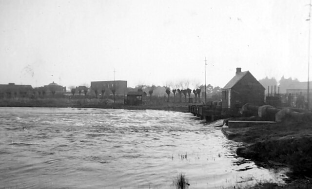
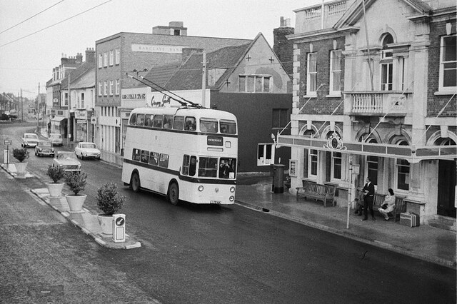
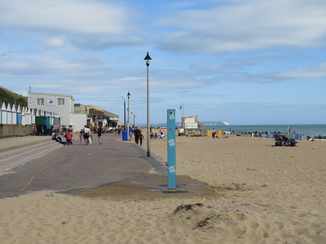
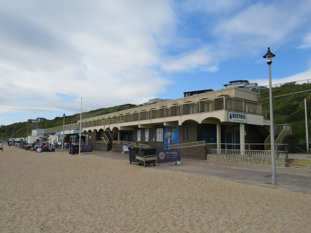
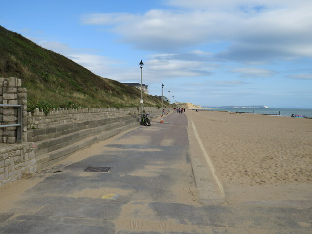
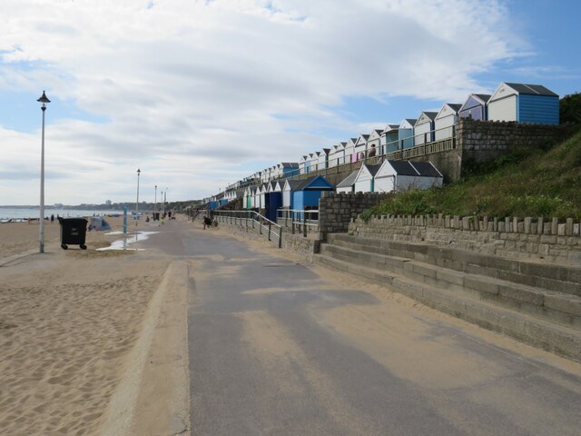
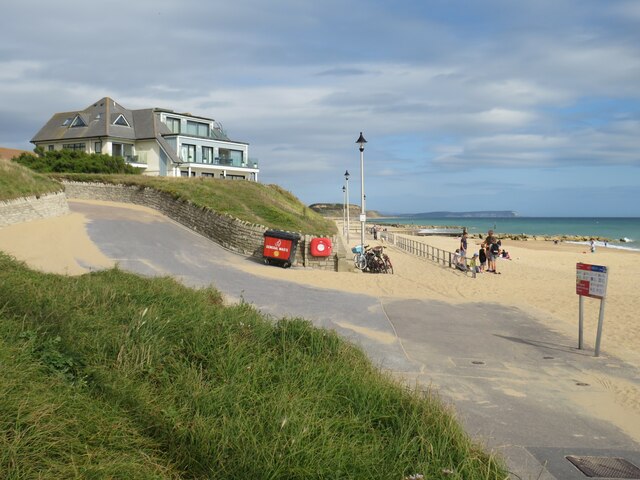
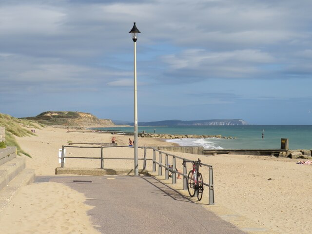
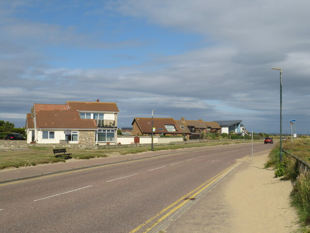
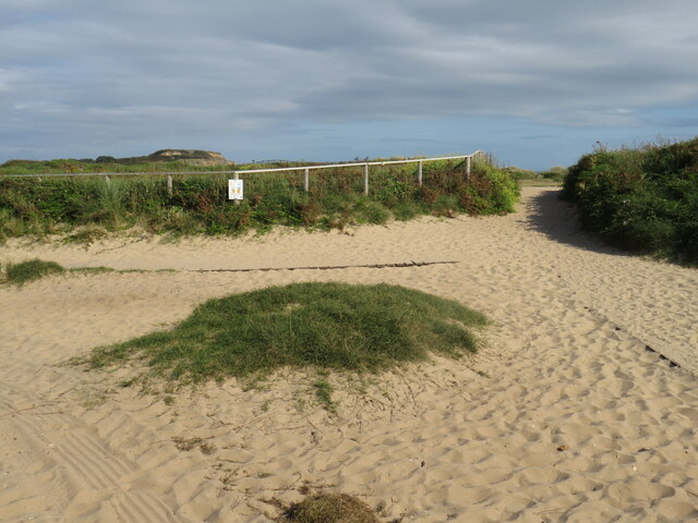
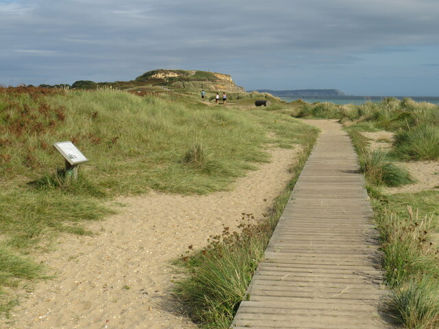
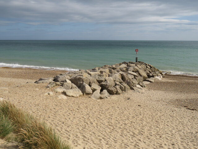
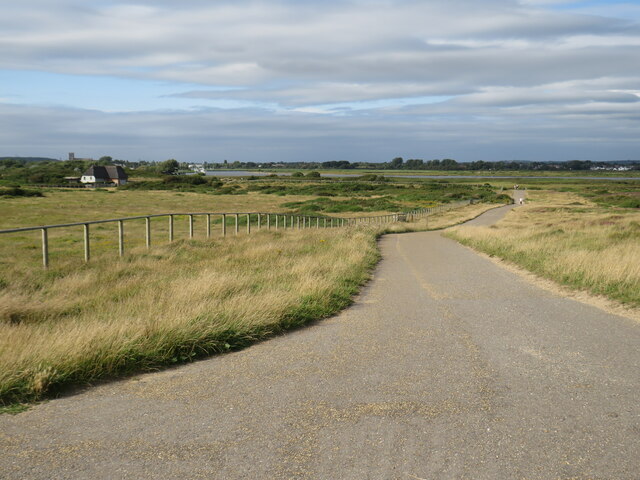
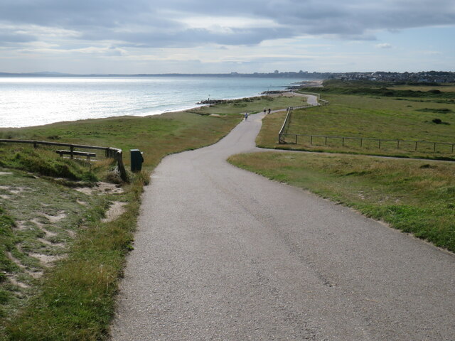
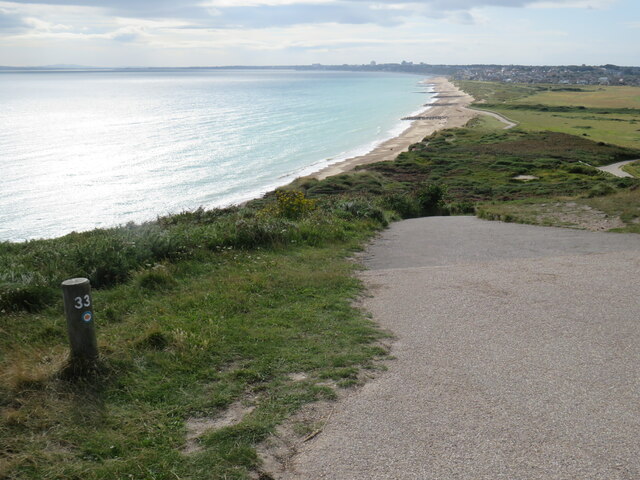
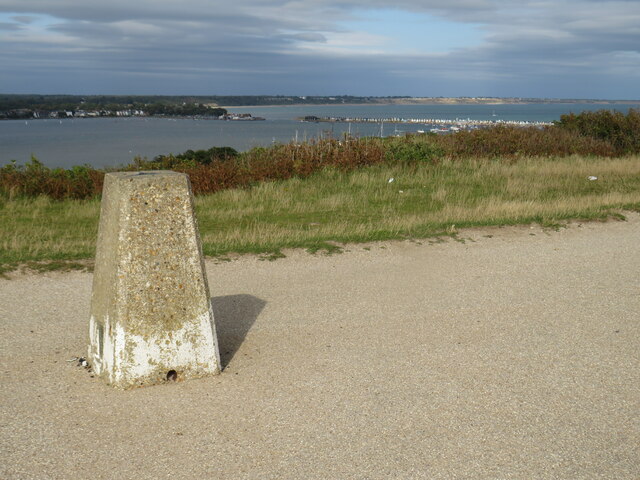
Wick Images

Images are sourced within 2km of 50.727178/-1.7795669 or Grid Reference SZ1591. Thanks to Geograph Open Source API. All images are credited.

Bournemouth Corporation trolleybus on Cranleigh Road – 1969 On service 23 to Tuckton Bridge where it would change to service 22 to return to Bournemouth Square via Southbourne.

This is the junction of Cranleigh Road with Carbery Avenue where there was a circle of wiring enabling vehicles to turn back from either direction, but only used in special circumstances. The junction has since been remodelled with all traffic using the roadway behind the island with its trees. <a title="https://www.geograph.org.uk/photo/719537" href="https://www.geograph.org.uk/photo/719537">Link</a> <a title="https://www.geograph.org.uk/photo/3402382" href="https://www.geograph.org.uk/photo/3402382">Link</a>

This is one of a series of views featuring buses in the 60s, 70s, and 80s. <a title="https://www.geograph.org.uk/search.php?i=137652761" href="https://www.geograph.org.uk/search.php?i=137652761">Link</a>
Bournemouth Corporation trolleybus on Cranleigh Road – 1969
On service 23 to Tuckton Bridge where it would change to service 22 to return to Bournemouth Square via Southbourne. This is the junction of Cranleigh Road with Carbery Avenue where there was a circle of wiring enabling vehicles to turn back from either direction, but only used in special circumstances. The junction has since been remodelled with all traffic using the roadway behind the island with its trees. Link Link This is one of a series of views featuring buses in the 60s, 70s, and 80s. Link
River Avon, Christchurch Waterworks, 1957
Christchurch: River Stour Sunrise from Tuckton Bridge c.1975 (2)
High Street, Christchurch - 1969 Bournemouth trolleybus passing the Town Hall, which still retained its canopy at this time. The view was taken on the final day of trolleybus operation in Bournemouth when a parade of vehicles took place between Bournemouth and Christchurch.

This is one of a series of views featuring buses in the 60s, 70s, and 80s. <a title="https://www.geograph.org.uk/search.php?i=137652761" href="https://www.geograph.org.uk/search.php?i=137652761">Link</a>
High Street, Christchurch - 1969
Bournemouth trolleybus passing the Town Hall, which still retained its canopy at this time. The view was taken on the final day of trolleybus operation in Bournemouth when a parade of vehicles took place between Bournemouth and Christchurch. This is one of a series of views featuring buses in the 60s, 70s, and 80s. Link
Promenade at Southbourne, near Bournemouth The promenade at Southbourne is at the eastern end of a 10-mile promenade along the seafront at Bournemouth.  The promenade is on the route of National Cycle Network route 2.  However, during the peak summer holiday months of July and August, the promenade is closed to cyclists between 10:00 and 18:00.  Between these times, cyclists must use an alternative route.
Promenade at Southbourne, near Bournemouth
The promenade at Southbourne is at the eastern end of a 10-mile promenade along the seafront at Bournemouth. The promenade is on the route of National Cycle Network route 2. However, during the peak summer holiday months of July and August, the promenade is closed to cyclists between 10:00 and 18:00. Between these times, cyclists must use an alternative route.
Bistro on the Beach, Southbourne A café/restaurant on the beachfront at Southbourne, near Bournemouth.

The promenade is on the route of National Cycle Network route 2.  However, during the peak summer holiday months of July and August, the promenade is closed to cyclists between 10:00 and 18:00.  Between these times, cyclists must use an alternative route.
Bistro on the Beach, Southbourne
A café/restaurant on the beachfront at Southbourne, near Bournemouth. The promenade is on the route of National Cycle Network route 2. However, during the peak summer holiday months of July and August, the promenade is closed to cyclists between 10:00 and 18:00. Between these times, cyclists must use an alternative route.
Promenade at Southbourne, near Bournemouth A promenade runs for around 10 miles along the seafront through Bournemouth.  This image was taken at Southbourne, near the eastern end of the promenade.

The promenade is on the route of National Cycle Network route 2.  However, during the peak summer holiday months of July and August, the promenade is closed to cyclists between 10:00 and 18:00.  Between these times, cyclists must use an alternative route.

In the distance, Hengistbury Head is straight ahead while to the right, the chalk cliffs are at The Needles at the westernmost tip of the Isle of Wight.
Promenade at Southbourne, near Bournemouth
A promenade runs for around 10 miles along the seafront through Bournemouth. This image was taken at Southbourne, near the eastern end of the promenade. The promenade is on the route of National Cycle Network route 2. However, during the peak summer holiday months of July and August, the promenade is closed to cyclists between 10:00 and 18:00. Between these times, cyclists must use an alternative route. In the distance, Hengistbury Head is straight ahead while to the right, the chalk cliffs are at The Needles at the westernmost tip of the Isle of Wight.
Promenade and beach huts, Southbourne A promenade runs for about 10 miles along the seafront through Bournemouth.  This image was taken at Southbourne, near the eastern end of the promenade.  Here, the promenade is overlooked by beach huts.

The promenade is on the route of National Cycle Network route 2.  However, during the peak summer holiday months of July and August, the promenade is closed to cyclists between 10:00 and 18:00.  Between these times, cyclists must use an alternative route.
Promenade and beach huts, Southbourne
A promenade runs for about 10 miles along the seafront through Bournemouth. This image was taken at Southbourne, near the eastern end of the promenade. Here, the promenade is overlooked by beach huts. The promenade is on the route of National Cycle Network route 2. However, during the peak summer holiday months of July and August, the promenade is closed to cyclists between 10:00 and 18:00. Between these times, cyclists must use an alternative route.
Promenade at Southbourne, near Bournemouth A promenade runs for approximately 10 miles along the seafront through Bournemouth.  This image was taken at Southbourne, approaching the eastern end of the promenade.  Visible through the lamp posts is Hengistbury Head while to the right, in shade, are The Needles which lie at the westernmost tip of the Isle of Wight.

The promenade is on the route of National Cycle Network route 2.  However, during the peak summer holiday months of July and August, the promenade is closed to cyclists between 10:00 and 18:00.  Between these times, cyclists must use an alternative route.
Promenade at Southbourne, near Bournemouth
A promenade runs for approximately 10 miles along the seafront through Bournemouth. This image was taken at Southbourne, approaching the eastern end of the promenade. Visible through the lamp posts is Hengistbury Head while to the right, in shade, are The Needles which lie at the westernmost tip of the Isle of Wight. The promenade is on the route of National Cycle Network route 2. However, during the peak summer holiday months of July and August, the promenade is closed to cyclists between 10:00 and 18:00. Between these times, cyclists must use an alternative route.
End of the promenade, Southbourne A promenade runs for 10 miles along the seafront through Bournemouth, starting at Sandbanks and ending here at Southbourne.

Straight ahead is Hengistbury Head.  In the distance to the right are cliffs at Alum Bay and The Needles, on the Isle of Wight.
End of the promenade, Southbourne
A promenade runs for 10 miles along the seafront through Bournemouth, starting at Sandbanks and ending here at Southbourne. Straight ahead is Hengistbury Head. In the distance to the right are cliffs at Alum Bay and The Needles, on the Isle of Wight.
Southbourne Coast Road, Southbourne, near Bournemouth As its name suggests, Southbourne Coast Road runs close to the coast at Southbourne, near Bournemouth.  The road forms part of the route of National Cycle Network route 2.
Southbourne Coast Road, Southbourne, near Bournemouth
As its name suggests, Southbourne Coast Road runs close to the coast at Southbourne, near Bournemouth. The road forms part of the route of National Cycle Network route 2.
Paths near Hengistbury Head Paths along the coastline between Southbourne and Hengistbury Head.
Paths near Hengistbury Head
Paths along the coastline between Southbourne and Hengistbury Head.
Boardwalk near Hengistbury Head A boardwalk along the coast near Hengistbury Head.  Hengistbury Head itself is in the background.  To the right, in the distance, are the cliffs at Alum Bay and The Needles, at the western end of the Isle of Wight.
Boardwalk near Hengistbury Head
A boardwalk along the coast near Hengistbury Head. Hengistbury Head itself is in the background. To the right, in the distance, are the cliffs at Alum Bay and The Needles, at the western end of the Isle of Wight.
Rock groyne near Hengistbury Head Groynes reduce the amount of longshore drift, and help sand to build up in front of the cliff.  Ocean groynes commonly run perpendicular to the shore, extending from the upper foreshore or beach into the water. Groynes can be made of wood, concrete, or rock piles, and placed in groups and they are often used in combination with seawalls. All of a groyne may be under water, in which case it is called a submerged groyne. The areas between groups of groynes are groyne fields. 

Revetments and boulders stop strong waves hitting the base of the soft cliffs.  This reduces the amount of sand, clay and gravel which is eroded. Revetments can be constructed from wood, they can be found in the form of wooden piles, loose-piled boulders or concrete shapes, or more solid banks.  Commonly they are sloping structures placed on banks or cliffs in such a way as to absorb the energy of incoming water.  Coastal revetments are usually built to preserve the existing uses of the shoreline and to protect the dunes or cliffs behind it from erosion.

Groynes and revetments do not protect the cliff from water which comes from the land, particularly after heavy storms.  The water which collects in the clays in the cliff frequently makes them wet and unstable, which makes them collapse. Drainage pipes help drain the water out of the cliff face.  This reduces the risk of the cliff collapsing when it is too wet and saturated. 

A sea wall acts as a layer between the vulnerable coastline and the ocean. Wave action can beat at the sea wall without eroding the coast, although the sea wall itself will eventually break down and require repair or replacement. Sea walls also help to insulate communities from flooding, although high waves can still breach most sea walls. Sea walls are commonly constructed from reinforced concrete. In some instances several lower barriers may precede the sea wall, to help break up the wave energy before the waves hit the wall. Some sea walls are built in the water right next to a shoreline.
Rock groyne near Hengistbury Head
Groynes reduce the amount of longshore drift, and help sand to build up in front of the cliff. Ocean groynes commonly run perpendicular to the shore, extending from the upper foreshore or beach into the water. Groynes can be made of wood, concrete, or rock piles, and placed in groups and they are often used in combination with seawalls. All of a groyne may be under water, in which case it is called a submerged groyne. The areas between groups of groynes are groyne fields. Revetments and boulders stop strong waves hitting the base of the soft cliffs. This reduces the amount of sand, clay and gravel which is eroded. Revetments can be constructed from wood, they can be found in the form of wooden piles, loose-piled boulders or concrete shapes, or more solid banks. Commonly they are sloping structures placed on banks or cliffs in such a way as to absorb the energy of incoming water. Coastal revetments are usually built to preserve the existing uses of the shoreline and to protect the dunes or cliffs behind it from erosion. Groynes and revetments do not protect the cliff from water which comes from the land, particularly after heavy storms. The water which collects in the clays in the cliff frequently makes them wet and unstable, which makes them collapse. Drainage pipes help drain the water out of the cliff face. This reduces the risk of the cliff collapsing when it is too wet and saturated. A sea wall acts as a layer between the vulnerable coastline and the ocean. Wave action can beat at the sea wall without eroding the coast, although the sea wall itself will eventually break down and require repair or replacement. Sea walls also help to insulate communities from flooding, although high waves can still breach most sea walls. Sea walls are commonly constructed from reinforced concrete. In some instances several lower barriers may precede the sea wall, to help break up the wave energy before the waves hit the wall. Some sea walls are built in the water right next to a shoreline.
Driveway near Hengistbury Head A driveway through a coastal nature reserve near Hengistbury Head.
Driveway near Hengistbury Head
A driveway through a coastal nature reserve near Hengistbury Head.
Driveway near Hengistbury Head A driveway along the coastline near Hengistbury Head, near Christchurch.
Driveway near Hengistbury Head
A driveway along the coastline near Hengistbury Head, near Christchurch.
Coastal view at Hengistbury Head A view along the coastline towards Bournemouth, from Hengistbury Head.
Coastal view at Hengistbury Head
A view along the coastline towards Bournemouth, from Hengistbury Head.
Triangulation pillar at Hengistbury Head A triangulation station, also known as a triangulation pillar, trigonometrical station, trigonometrical point, trig station, trig beacon or trig point. Erected by the Ordnance Survey.
 
See <span class="nowrap"><a title="http://en.wikipedia.org/wiki/Triangulation_station" rel="nofollow ugc noopener" href="http://en.wikipedia.org/wiki/Triangulation_station">Link</a><img style="margin-left:2px;" alt="External link" title="External link - shift click to open in new window" src="https://s1.geograph.org.uk/img/external.png" width="10" height="10"/></span> for more details about Trig Stations.
Triangulation pillar at Hengistbury Head
A triangulation station, also known as a triangulation pillar, trigonometrical station, trigonometrical point, trig station, trig beacon or trig point. Erected by the Ordnance Survey. See LinkExternal link for more details about Trig Stations.
Show me another place!

Wick is located at Grid Ref: SZ1591 (Lat: 50.727178, Lng: -1.7795669)

Unitary Authority: Bournemouth, Christchurch and Poole

Police Authority: Dorset

What 3 Words

///grabs.jabs.glove. Near Christchurch, Dorset

Nearby Locations

Hengistbury Head Wick

Related Wikis

Wick, Bournemouth

Wick is a village on the south bank of the River Stour in Dorset, England, just short of the Stour's entry into Christchurch Harbour. Along with the nearby...

Christchurch, Dorset

Christchurch () is a town and civil parish on the south coast of Dorset, England. The parish had a population of 31,372 in 2021. It adjoins Bournemouth...

Christchurch Rowing Club

Christchurch Rowing Club is a rowing club on the River Stour, based at River Bank, Wick Lane, Christchurch, Dorset and is affiliated to British Rowing...

River Stour, Dorset

The River Stour is a 61 mi (98 km) river which flows through Wiltshire and Dorset in southern England, and drains into the English Channel. The catchment...

Nearby Amenities

Located within 500m of 50.727178,-1.7795669
Source: Bing
Lat/Long: 50.7307152/-1.7763816
Source: Bing
Lat/Long: 50.7305539/-1.7764947
Post Box
Brand: Royal Mail
Brand Wikidata: Q638098
Brand Wikipedia: en:Royal Mail
Collection Times: Mo-Fr 09:00, Sa 07:00
Operator: Royal Mail
Operator Wikidata: Q638098
Post Box Type: lamp
Ref: BH6 193
Ref GB Uprn: 10015475850
Royal Cypher: EIIR
Royal Cypher Wikidata: Q33102113
Lat/Long: 50.7271084/-1.7794367
Post Box
Brand: Royal Mail
Brand Wikidata: Q638098
Brand Wikipedia: en:Royal Mail
Operator: Royal Mail
Operator Wikidata: Q638098
Post Box Type: pillar
Ref: BH6 328
Ref GB Uprn: 10015449372
Royal Cypher: EIIR
Royal Cypher Wikidata: Q33102113
Lat/Long: 50.7265664/-1.7853248
Post Box
Brand: Royal Mail
Brand Wikidata: Q638098
Brand Wikipedia: en:Royal Mail
Operator: Royal Mail
Operator Wikidata: Q638098
Post Box Type: pillar
Ref: BH6 155
Ref GB Uprn: 10015462554
Lat/Long: 50.7231225/-1.7824888
Post Office
Hengistbury Post Office
Addr Country: GB
Addr Postcode: BH6 4EH
Brand: Post Office
Brand Wikidata: Q1783168
Contact Website: https://www.postoffice.co.uk/branch-finder/265508x/hengistbury
Ref Pol Id: 10551
Wheelchair: yes
Lat/Long: 50.7232009/-1.7824121
Bus Stop
Kingsley Avenue
Bench: yes
Bin: no
Bus: yes
Lit: no
Naptan AtcoCode: 1290BOB20208
Naptan Bearing: SE
Naptan CommonName: Kingsley Avenue
Naptan Indicator: SE-bound
Naptan NaptanCode: bougmgw
Naptan PlusbusZoneRef: BOMO
Naptan Street: Broadway
Naptan Verified: no
Public Transport: platform
Shelter: no
Tactile Paving: no
Lat/Long: 50.723411/-1.7834227
Hengistkites
Shop: kites
Lat/Long: 50.7231752/-1.7823461
Toilets
Access: yes
Check Date: 2021-09-19
Fee: no
Toilets Disposal: flush
Wheelchair: yes
Lat/Long: 50.7309496/-1.7776712
Source: Bing
Lat/Long: 50.7306042/-1.7754998
Source: Bing
Lat/Long: 50.730628/-1.7756118
Source: Bing
Lat/Long: 50.7307409/-1.7759622
Source: Bing
Lat/Long: 50.7307484/-1.7762765
Ferry Terminal
Wick Ferry
Ferry: yes
Public Transport: station
Lat/Long: 50.7298992/-1.7812707
Ferry Terminal
Wick Ferry
Ferry: yes
Public Transport: station
Lat/Long: 50.7290476/-1.7810249
Leisure: slipway
Lat/Long: 50.72996/-1.779662
Ferry Terminal
Christchurch Quay
Ferry: yes
Operator: Vintage Ferry Service
Public Transport: station
Source: Bing
Lat/Long: 50.7303508/-1.7750079
Barrier: bollard
Bollard: foldable
Lat/Long: 50.7305387/-1.7816116
Generator Method: photovoltaic
Generator Output Electricity: yes
Generator Source: solar
Generator Type: solar_photovoltaic_panel
Location: roof
Power: generator
Lat/Long: 50.7231467/-1.779548
Generator Method: photovoltaic
Generator Output Electricity: yes
Generator Source: solar
Generator Type: solar_photovoltaic_panel
Location: roof
Power: generator
Lat/Long: 50.7231807/-1.7796312
Generator Method: photovoltaic
Generator Output Electricity: yes
Generator Source: solar
Generator Type: solar_photovoltaic_panel
Location: roof
Power: generator
Lat/Long: 50.7234404/-1.7793147
Generator Method: photovoltaic
Generator Output Electricity: yes
Generator Source: solar
Generator Type: solar_photovoltaic_panel
Location: roof
Power: generator
Lat/Long: 50.7261937/-1.7786495
Generator Method: photovoltaic
Generator Output Electricity: yes
Generator Source: solar
Generator Type: solar_photovoltaic_panel
Location: roof
Power: generator
Lat/Long: 50.7263431/-1.7791082
Generator Method: photovoltaic
Generator Output Electricity: yes
Generator Source: solar
Generator Type: solar_photovoltaic_panel
Location: roof
Power: generator
Lat/Long: 50.7266148/-1.7786173
Generator Method: photovoltaic
Generator Output Electricity: yes
Generator Source: solar
Generator Type: solar_photovoltaic_panel
Location: roof
Power: generator
Lat/Long: 50.7270014/-1.7775097
Generator Method: photovoltaic
Generator Output Electricity: yes
Generator Source: solar
Generator Type: solar_photovoltaic_panel
Location: roof
Power: generator
Lat/Long: 50.7272603/-1.7778034
Generator Method: photovoltaic
Generator Output Electricity: yes
Generator Source: solar
Generator Type: solar_photovoltaic_panel
Location: roof
Power: generator
Lat/Long: 50.7272416/-1.7778731
Generator Method: photovoltaic
Generator Output Electricity: yes
Generator Source: solar
Generator Type: solar_photovoltaic_panel
Location: roof
Power: generator
Lat/Long: 50.7270345/-1.7776183
Generator Method: photovoltaic
Generator Output Electricity: yes
Generator Source: solar
Generator Type: solar_photovoltaic_panel
Location: roof
Power: generator
Lat/Long: 50.7276957/-1.7810374
Generator Method: photovoltaic
Generator Output Electricity: yes
Generator Source: solar
Generator Type: solar_photovoltaic_panel
Location: roof
Power: generator
Lat/Long: 50.7265225/-1.7793315
Generator Method: photovoltaic
Generator Output Electricity: yes
Generator Source: solar
Generator Type: solar_photovoltaic_panel
Location: roof
Power: generator
Lat/Long: 50.7253408/-1.7813485
Generator Method: photovoltaic
Generator Output Electricity: yes
Generator Source: solar
Generator Type: solar_photovoltaic_panel
Location: roof
Power: generator
Lat/Long: 50.727509/-1.7843271
Generator Method: photovoltaic
Generator Output Electricity: yes
Generator Source: solar
Generator Type: solar_photovoltaic_panel
Location: roof
Power: generator
Lat/Long: 50.728037/-1.7851854
Convenience Store
Shop: convenience
Lat/Long: 50.7232627/-1.7825242
Fast Food
Simon's Fish & Chips
Cuisine: fish_and_chips
Lat/Long: 50.723368/-1.7827254
Telephone
Booth: K6
Covered: booth
Ref GB Uprn: 10024886981
Lat/Long: 50.7271544/-1.7794719
Dentist
Finest Smile Dental Studio
Addr City: Bournemouth
Addr Housenumber: 114
Addr Postcode: BH6 4EH
Addr Street: Broadway
Email: reception@finestsmile.co.uk
Opening Hours: Mo-Fr 09:00-17:30
Phone: +44 1202 382418
Website: https://www.finestsmile.co.uk/
Lat/Long: 50.7230036/-1.7819819
Bicycle Rental
Mayors Mead Car Park
Bicycle Rental: dropoff_point
Brand: Beryl
Brand Wikidata: Q106575365
Capacity: 8
Email: support@beryl.cc
Fee: yes
Name Signed: no
Network: Beryl
Network Wikidata: Q106575365
Official Name: Mayors Mead Car Park
Operator: Beryl
Operator Wikidata: Q106575369
Payment App: yes
Payment App Android: cc.beryl.basis
Payment App Ios: 1386768364
Payment Cash: no
Payment Credit Cards: no
Payment Cryptocurrencies: no
Payment Debit Cards: no
Payment Electronic Purses: no
Phone: +44 20 3003 5044
Ref Gbfs: beryl_bcp:2008
Rental: city_bike
Website: https://beryl.cc/scheme/bournemouth-christchurch-and-poole
Lat/Long: 50.7310333/-1.779633
Bicycle Rental
Town Quay
Bicycle Rental: dropoff_point
Brand: Beryl
Brand Wikidata: Q106575365
Capacity: 8
Email: support@beryl.cc
Fee: yes
Name Signed: no
Network: Beryl
Network Wikidata: Q106575365
Official Name: Town Quay
Operator: Beryl
Operator Wikidata: Q106575369
Payment App: yes
Payment App Android: cc.beryl.basis
Payment App Ios: 1386768364
Payment Cash: no
Payment Credit Cards: no
Payment Cryptocurrencies: no
Payment Debit Cards: no
Payment Electronic Purses: no
Phone: +44 20 3003 5044
Ref Gbfs: beryl_bcp:2003
Rental: city_bike
Website: https://beryl.cc/scheme/bournemouth-christchurch-and-poole
Lat/Long: 50.7307587/-1.775297
Bicycle Rental
Willow Way Car Park
Bicycle Rental: dropoff_point
Brand: Beryl
Brand Wikidata: Q106575365
Capacity: 6
Email: support@beryl.cc
Fee: yes
Name Signed: no
Network: Beryl
Network Wikidata: Q106575365
Official Name: Willow Way Car Park
Operator: Beryl
Operator Wikidata: Q106575369
Payment App: yes
Payment App Android: cc.beryl.basis
Payment App Ios: 1386768364
Payment Cash: no
Payment Credit Cards: no
Payment Cryptocurrencies: no
Payment Debit Cards: no
Payment Electronic Purses: no
Phone: +44 20 3003 5044
Ref Gbfs: beryl_bcp:2011
Rental: city_bike
Website: https://beryl.cc/scheme/bournemouth-christchurch-and-poole
Lat/Long: 50.7312279/-1.7823319
Bench: yes
Leisure: picnic_table
Lit: no
Material: wood
Lat/Long: 50.723764/-1.7773554
Bench: yes
Leisure: picnic_table
Lit: no
Material: wood
Lat/Long: 50.7237464/-1.7773752
Bench: yes
Leisure: picnic_table
Lit: no
Material: wood
Lat/Long: 50.7237303/-1.777396
Bench: yes
Leisure: picnic_table
Lit: no
Material: wood
Lat/Long: 50.7237143/-1.7774164
Golf: pin
Lat/Long: 50.7233952/-1.7769061
Golf: tee
Lat/Long: 50.7232375/-1.7771855
Golf: tee
Lat/Long: 50.7231274/-1.7772875
Bench
Backrest: yes
Material: wood
Lat/Long: 50.7300962/-1.7818682
Bench
Backrest: yes
Material: wood
Lat/Long: 50.730076/-1.7816546
Bench
Backrest: yes
Material: wood
Lat/Long: 50.7300565/-1.7814497
Christchurch Bandstand
Leisure: bandstand
Operator: Christchurch Town Council
Website: https://www.christchurch-tc.gov.uk/the-bandstand/
Lat/Long: 50.7308826/-1.7756745
Height: .4
Natural: stone
Lat/Long: 50.7292777/-1.7843595
Height: .4
Natural: stone
Lat/Long: 50.7293018/-1.7843844
Height: .4
Natural: stone
Lat/Long: 50.7291192/-1.7841739
Height: .4
Natural: stone
Lat/Long: 50.7292936/-1.7844144
Playground: structure, platform, slide, bridge
Lat/Long: 50.7292297/-1.7845124
Height: .4
Natural: stone
Lat/Long: 50.7292617/-1.7843807
Bench
Backrest: yes
Seats: 3
Lat/Long: 50.7291957/-1.7841505
Playground: trampoline
Lat/Long: 50.7292322/-1.7841914
Bench
Backrest: yes
Seats: 3
Lat/Long: 50.729178/-1.7841859
Height: .4
Natural: stone
Lat/Long: 50.7290968/-1.7841875
Height: .4
Natural: stone
Lat/Long: 50.7292675/-1.7844167
Height: .4
Natural: stone
Lat/Long: 50.7291021/-1.7842329
Height: .4
Natural: stone
Lat/Long: 50.7291275/-1.7842248
Height: .4
Natural: stone
Lat/Long: 50.7291294/-1.7842012
Bicycle Parking
Bicycle Parking: stands
Capacity: 4
Lat/Long: 50.7291474/-1.7845676
Playground: basketswing
Lat/Long: 50.7303781/-1.7789643
Playground: musical_instrument
Lat/Long: 50.7304571/-1.7791686
Playground: structure, steps, ladder
Playground Theme: ship
Lat/Long: 50.7304142/-1.7791379
The data included in this document is from www.openstreetmap.org. The data is made available under ODbL.

Have you been to Wick?

Leave your review of Wick below (or comments, questions and feedback).