Wick
Settlement in Sussex Arun
England
Wick
Wick is a small village located in the county of Sussex, England. Situated on the outskirts of the city of Brighton and Hove, it is part of the larger administrative district of Adur. With a population of around 2,000 residents, Wick is a close-knit community known for its picturesque setting and tranquil atmosphere.
The village of Wick boasts a rich history, dating back to the medieval era. Many of its historic buildings have been well-preserved, offering visitors a glimpse into the past. St. John the Baptist Church, a notable landmark, dates back to the 13th century and features beautiful architectural details.
Wick benefits from its proximity to the South Downs National Park, offering residents and visitors ample opportunities for outdoor activities. The rolling hills and expansive fields provide a stunning backdrop for hiking, cycling, and picnicking. The nearby River Adur also provides a peaceful spot for fishing and boating enthusiasts.
Despite its rural charm, Wick is conveniently located close to major transportation links. The A27 road runs nearby, connecting the village to major cities such as Brighton, Worthing, and Chichester. The village is served by regular bus services, providing easy access to neighboring areas.
Wick is also home to a range of amenities, including a primary school, village hall, and local shops. The community spirit is strong, with various events and activities organized throughout the year, such as summer fairs and Christmas markets.
Overall, Wick offers a peaceful and idyllic setting for those seeking a tranquil village lifestyle, while still providing easy access to larger urban centers and recreational opportunities.
If you have any feedback on the listing, please let us know in the comments section below.
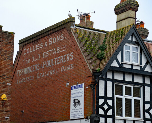
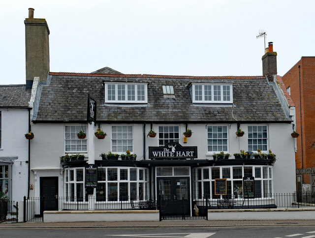
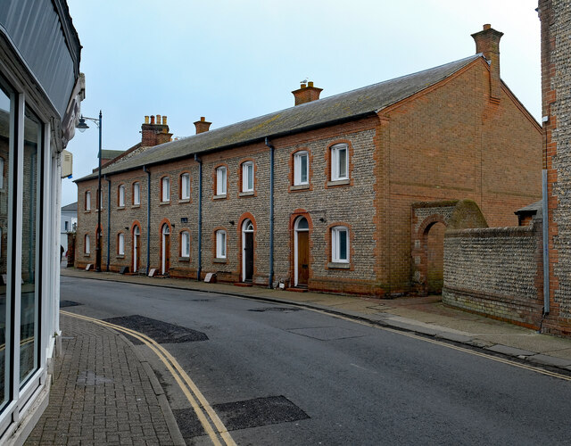
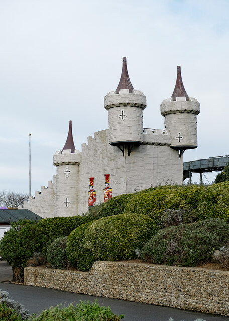
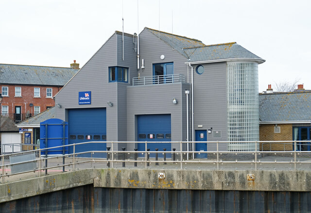
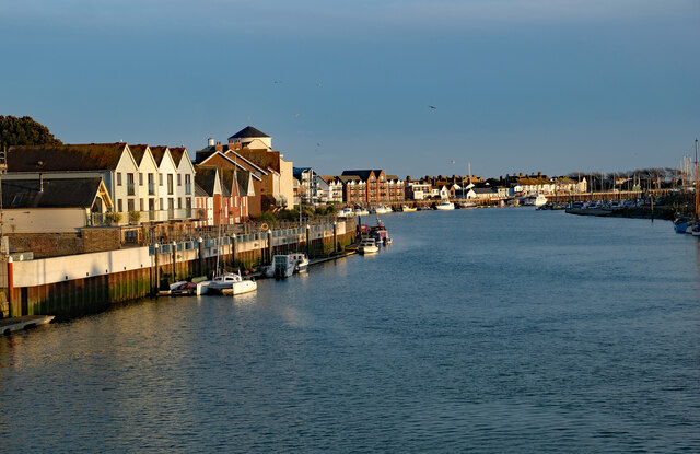
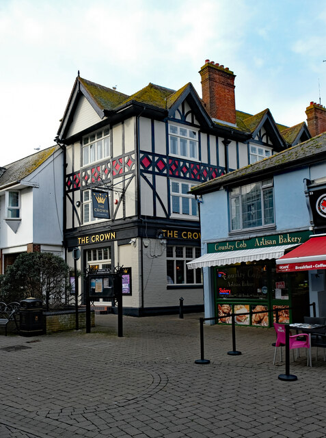
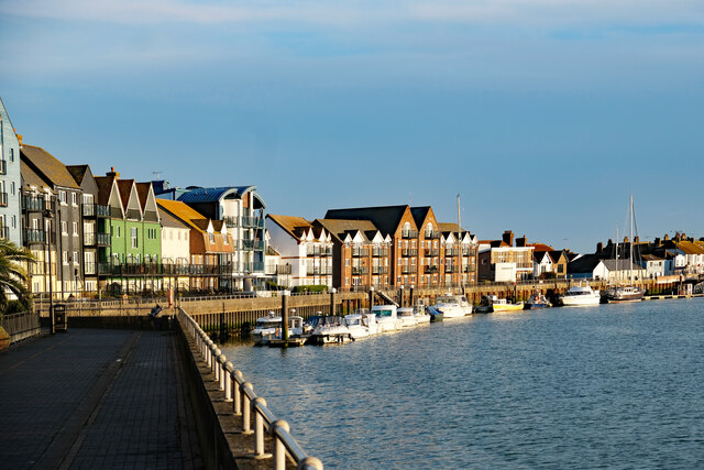
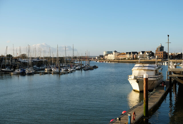
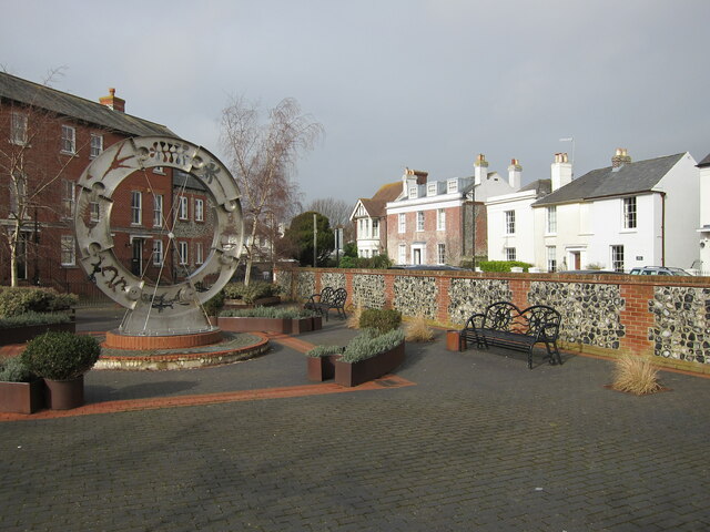
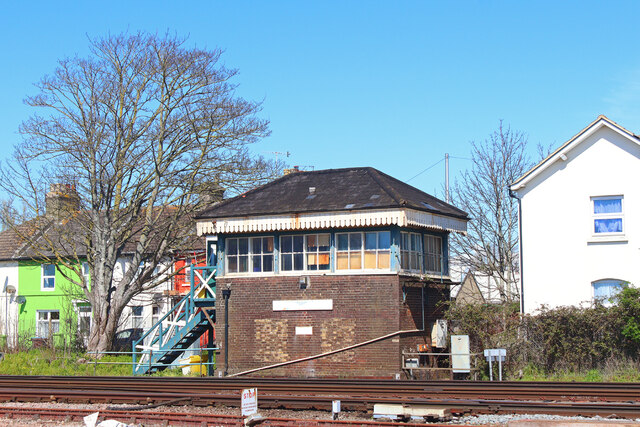
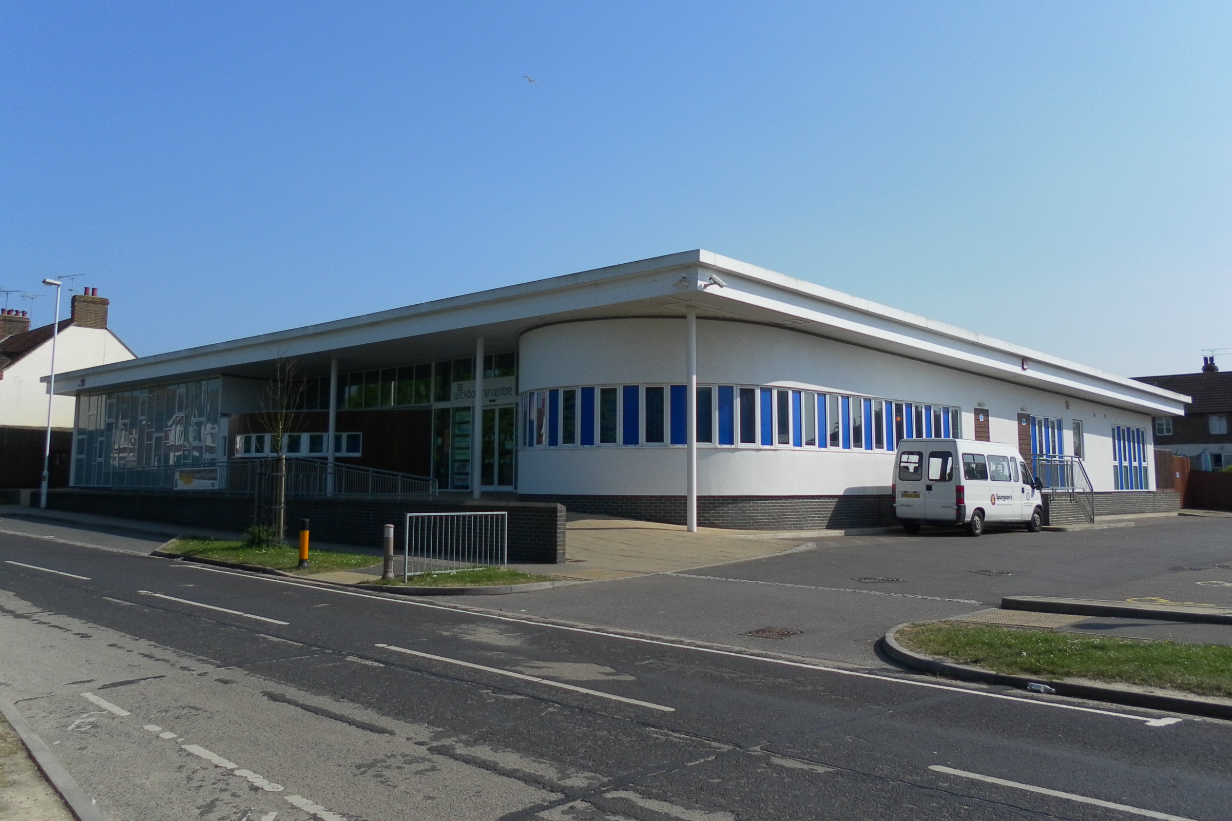
Wick Images
Images are sourced within 2km of 50.819892/-0.54388796 or Grid Reference TQ0203. Thanks to Geograph Open Source API. All images are credited.


Wick is located at Grid Ref: TQ0203 (Lat: 50.819892, Lng: -0.54388796)
Administrative County: West Sussex
District: Arun
Police Authority: Sussex
What 3 Words
///bucket.input.shirt. Near Littlehampton, West Sussex
Nearby Locations
Related Wikis
Wick, West Sussex
Wick is a suburb of Littlehampton in the Arun district of West Sussex, England. Originally a separate village, it now forms part of the built up area around...

Wick F.C.
Wick Football Club is a football club based in Wick, near Littlehampton, England. Wick joined the Sussex County League Division Two in 1964. In the 1998...
The Littlehampton Academy
The Littlehampton Academy (TLA, formerly Littlehampton Community School) is an 11–18 mixed, Christian, secondary school and sixth form with academy status...
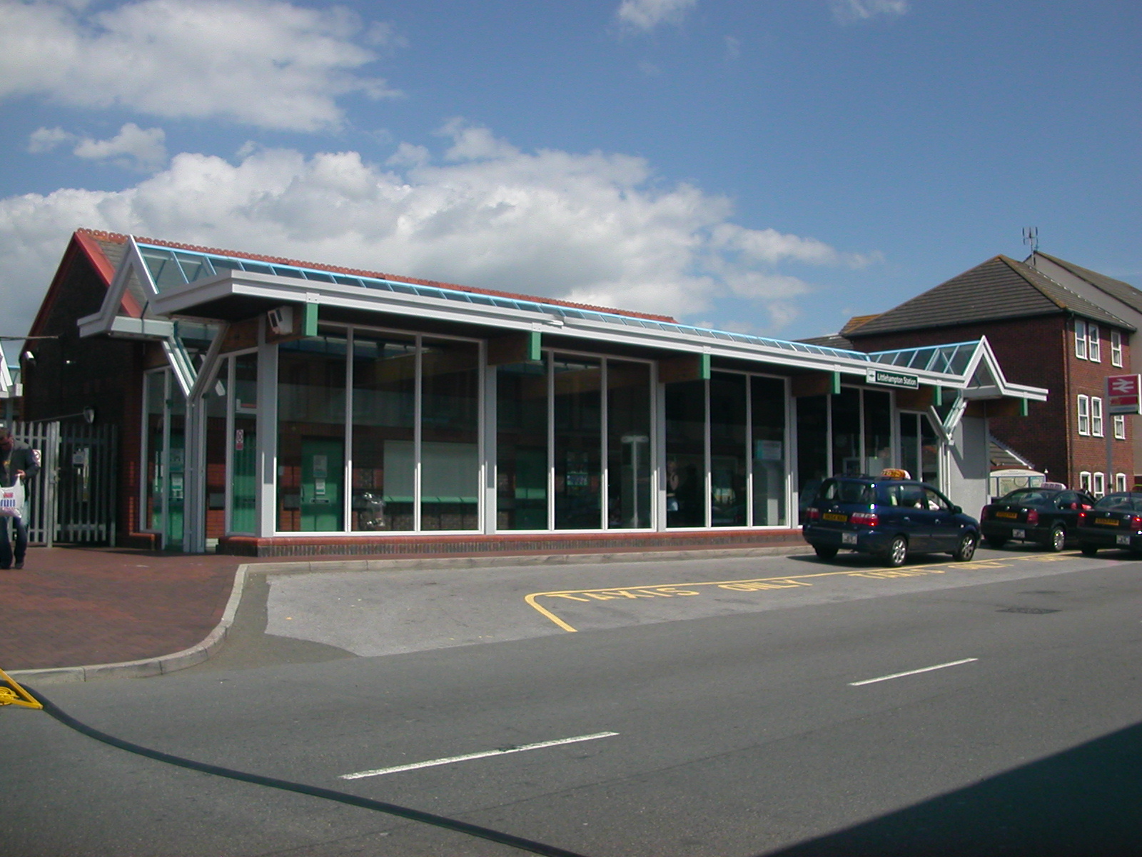
Littlehampton railway station
Littlehampton railway station is in Littlehampton in the county of West Sussex, England. The station and the trains serving it are operated by Southern...
Nearby Amenities
Located within 500m of 50.819892,-0.54388796Have you been to Wick?
Leave your review of Wick below (or comments, questions and feedback).