Brampton Park
Settlement in Huntingdonshire Huntingdonshire
England
Brampton Park

Brampton Park is a picturesque public park located in the district of Huntingdonshire, England. Covering an area of approximately 25 acres, it offers a tranquil and scenic environment for both locals and visitors to enjoy. The park is situated on the outskirts of the historic market town of Huntingdon, making it easily accessible for those in the surrounding area.
One of the standout features of Brampton Park is its stunning lake, which serves as a focal point for the park's natural beauty. The lake provides a serene backdrop for leisurely walks or picnics, and is also a popular spot for fishing enthusiasts.
The park boasts well-maintained pathways that wind through grassy meadows and beautiful woodland areas, offering ample opportunities for visitors to explore and connect with nature. There are also a number of seating areas strategically placed throughout the park, providing a perfect place to rest and take in the peaceful surroundings.
Brampton Park caters to visitors of all ages, with a range of facilities available. Children can enjoy the well-equipped playground, complete with slides, swings, and climbing frames, while sports enthusiasts can make use of the tennis courts and football pitches. There is also a café on-site, offering refreshments and snacks for those looking for a break from their outdoor activities.
Overall, Brampton Park is a gem in the heart of Huntingdonshire, offering a haven of tranquility and natural beauty for all who visit. Its diverse range of amenities and attractions make it a popular destination for families, nature lovers, and sports enthusiasts alike.
If you have any feedback on the listing, please let us know in the comments section below.
Brampton Park Images
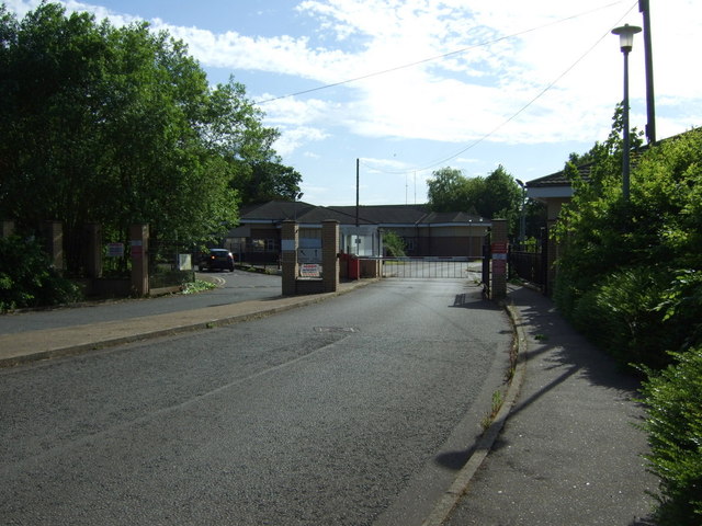
Images are sourced within 2km of 52.316375/-0.231966 or Grid Reference TL2070. Thanks to Geograph Open Source API. All images are credited.


Brampton Park is located at Grid Ref: TL2070 (Lat: 52.316375, Lng: -0.231966)
Administrative County: Cambridgeshire
District: Huntingdonshire
Police Authority: Cambridgeshire
What 3 Words
///warp.slamming.slams. Near Brampton, Cambridgeshire
Nearby Locations
Related Wikis
RAF Brampton
RAF Brampton was a non-flying Royal Air Force installation near Huntingdon in Cambridgeshire, England. Formerly the home of RAF Support Command, it also...

Brampton, Cambridgeshire
Brampton is a village and civil parish in Cambridgeshire, England, about 2 miles (3 km) south-west of Huntingdon. It lies within Huntingdonshire, a non...
Brampton Grange
Brampton Grange in Brampton, Cambridgeshire, England, is a historic building that dates to 1773. Used as a school in the 19th century, the building was...
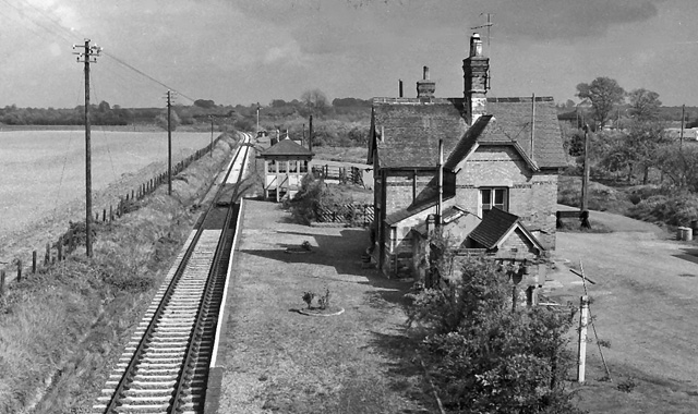
Buckden railway station
Buckden railway station was a railway station in Buckden, Cambridgeshire. The station and its line closed in year 1959. The signal box is now preserved...
Nearby Amenities
Located within 500m of 52.316375,-0.231966Have you been to Brampton Park?
Leave your review of Brampton Park below (or comments, questions and feedback).