Brampton
Civil Parish in Huntingdonshire Huntingdonshire
England
Brampton

Brampton is a civil parish located in the district of Huntingdonshire in Cambridgeshire, England. Situated approximately 2 miles south-west of the town of Huntingdon, it covers an area of about 1,440 acres. The parish is bordered by the villages of Great Stukeley to the west and Buckden to the east.
The village of Brampton has a rich history dating back to the Roman period, with evidence of settlements and artifacts found in the area. It was mentioned in the Domesday Book of 1086 as Bramtune, suggesting that it has been inhabited for well over a thousand years.
Today, Brampton is a thriving community with a population of around 5,000 residents. The village offers a range of amenities and services, including a primary school, a village hall, a post office, and several shops and pubs. It also has a strong sense of community, with various local groups and organizations supporting social and recreational activities.
The landscape of Brampton is characterized by picturesque countryside, with rolling hills, meadows, and farmland surrounding the village. The area is popular with nature lovers and outdoor enthusiasts, offering opportunities for walking, cycling, and exploring the nearby River Great Ouse.
With its convenient location and excellent transport links, Brampton is an attractive place to live for those seeking a peaceful rural lifestyle while still having easy access to nearby towns and cities. The village's historical charm, vibrant community, and beautiful surroundings make it a desirable destination for both residents and visitors.
If you have any feedback on the listing, please let us know in the comments section below.
Brampton Images
Images are sourced within 2km of 52.320405/-0.238071 or Grid Reference TL2070. Thanks to Geograph Open Source API. All images are credited.


Brampton is located at Grid Ref: TL2070 (Lat: 52.320405, Lng: -0.238071)
Administrative County: Cambridgeshire
District: Huntingdonshire
Police Authority: Cambridgeshire
What 3 Words
///speaking.snow.fussy. Near Brampton, Cambridgeshire
Nearby Locations
Related Wikis

Brampton, Cambridgeshire
Brampton is a village and civil parish in Cambridgeshire, England, about 2 miles (3 km) south-west of Huntingdon. It lies within Huntingdonshire, a non...
Brampton Grange
The Brampton Grange in Brampton, Cambridgeshire, England, is a historic building that dates back to 1773. The building was once vital to the planning and...
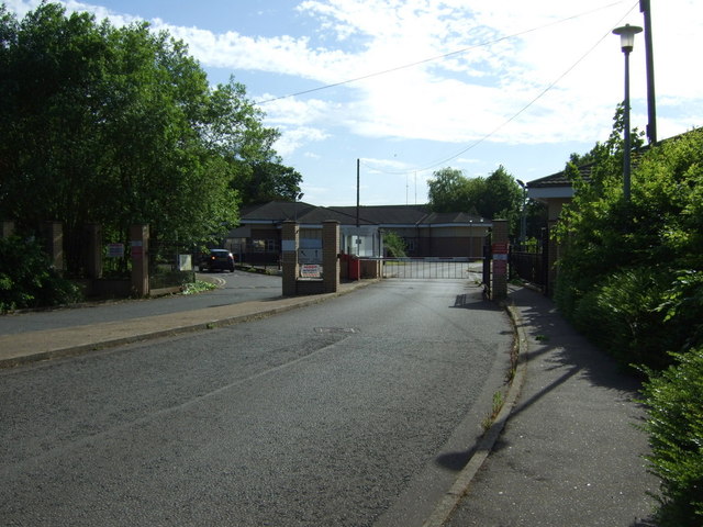
RAF Brampton
RAF Brampton was a non-flying Royal Air Force installation near Huntingdon in Cambridgeshire, England. Formerly the home of RAF Support Command, it also...

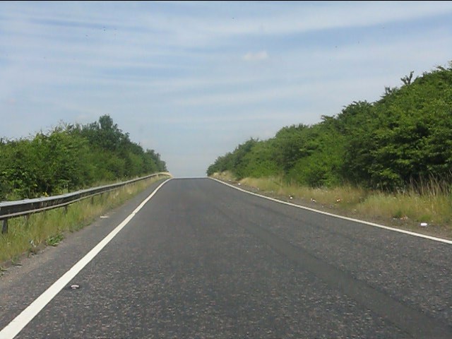
Brampton Hut interchange
The Brampton Hut interchange west of Huntingdon links the A1 and A14 trunk roads, and the A141 road which takes traffic into Huntingdon or towards Norfolk...

Huntingdon Racecourse
Huntingdon Racecourse is a thoroughbred horse racing venue located in Brampton near Huntingdon, Cambridgeshire, England. It is located on a Site of Special...
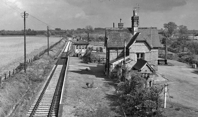
Buckden railway station
Buckden railway station was a railway station in Buckden, Cambridgeshire. The station and its line closed in year 1959. The signal box is now preserved...

Brampton Racecourse
Brampton Racecourse is a 21.1-hectare (52-acre) biological Site of Special Scientific Interest north of Brampton in Cambridgeshire. The site is also a...
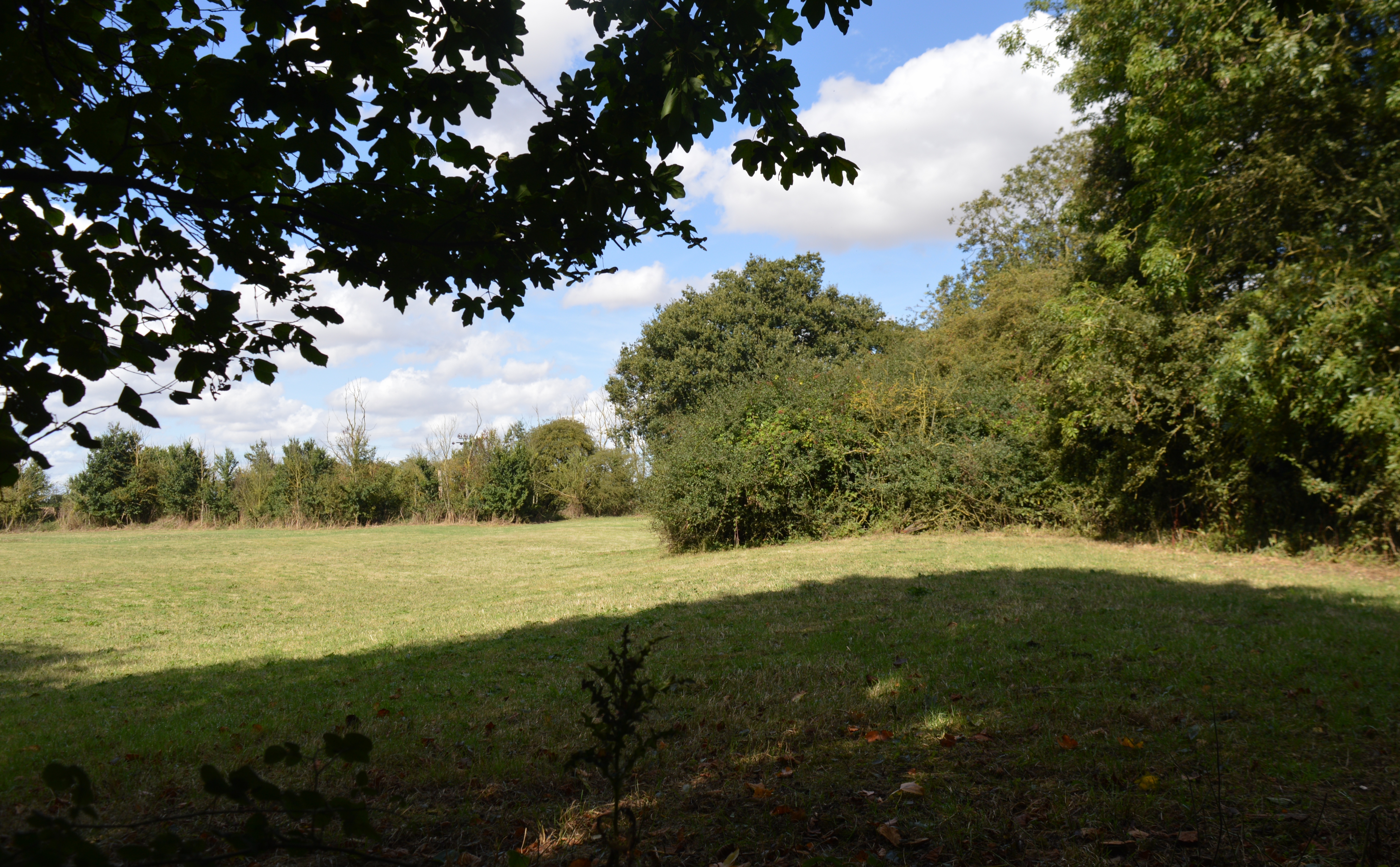
Brampton Meadow
Brampton Meadow is a one hectare biological Site of Special Scientific Interest north-west of Brampton in Cambridgeshire, England.The site has a rich variety...
Nearby Amenities
Located within 500m of 52.320405,-0.238071Have you been to Brampton?
Leave your review of Brampton below (or comments, questions and feedback).