Brampton Street

Settlement in Suffolk East Suffolk

England

Brampton Street

Wooded pond
Wooded pond Credit: N Chadwick

Brampton Street is a charming residential street located in the county of Suffolk, England. Situated in the heart of the market town of Brampton, this street is known for its picturesque scenery and historic significance. With a length of approximately half a mile, Brampton Street is lined with a mix of traditional cottages, Victorian-era houses, and more modern dwellings.

The street itself is well-maintained, with a smooth tarmac surface and well-kept sidewalks, making it ideal for leisurely strolls. Tall trees line both sides of the street, providing shade during the warmer months and adding to the overall aesthetic appeal of the area. Residents take pride in maintaining their gardens, resulting in an eye-catching display of colorful flowers and well-manicured lawns throughout the year.

Brampton Street is conveniently located near the town center, ensuring that residents have easy access to a range of amenities. Within walking distance, one can find a variety of local shops, including grocery stores, boutiques, and specialty shops. There are also several cafes, restaurants, and pubs where residents and visitors can enjoy a meal or a drink.

The street benefits from excellent transport links, with a bus stop located at one end of the street, providing regular services to neighboring towns and villages. Additionally, Brampton Street is well-connected to major roads, allowing for convenient travel to nearby cities such as Ipswich and Bury St Edmunds.

Overall, Brampton Street offers a harmonious blend of historic charm and modern convenience, making it an attractive place to live or visit in Suffolk.

If you have any feedback on the listing, please let us know in the comments section below.

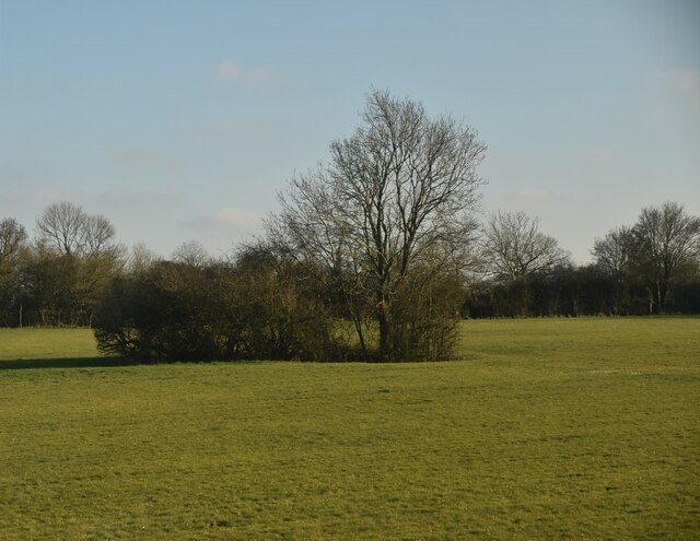
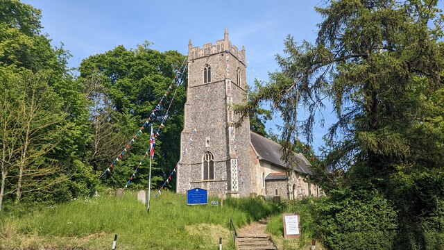
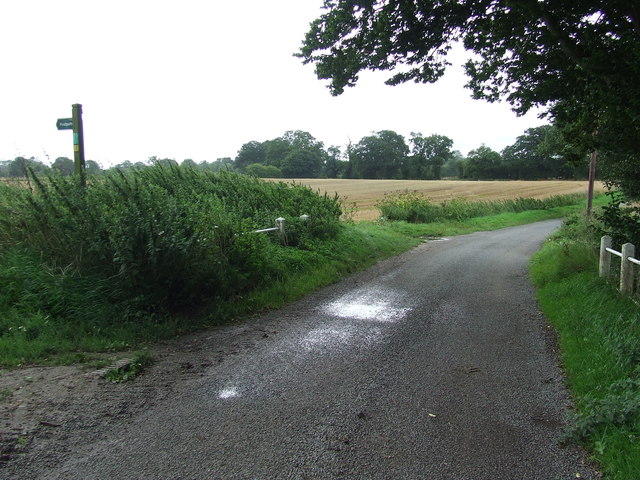
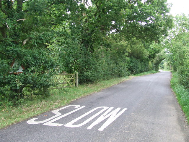
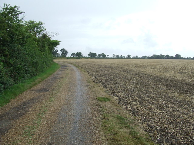
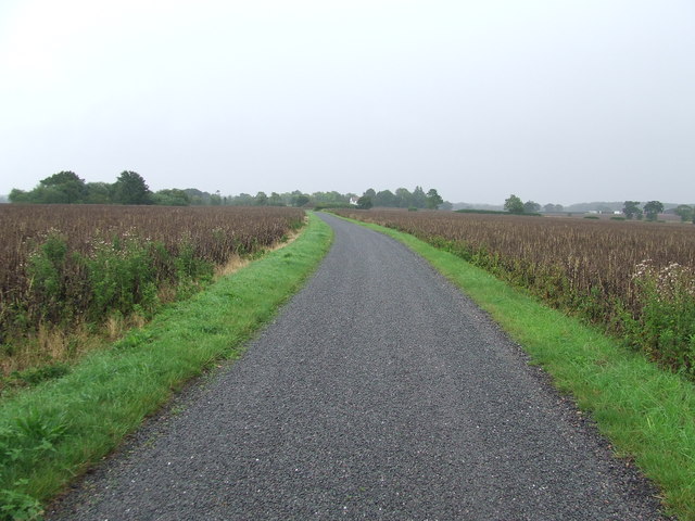
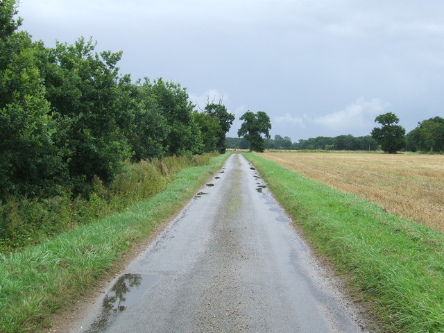
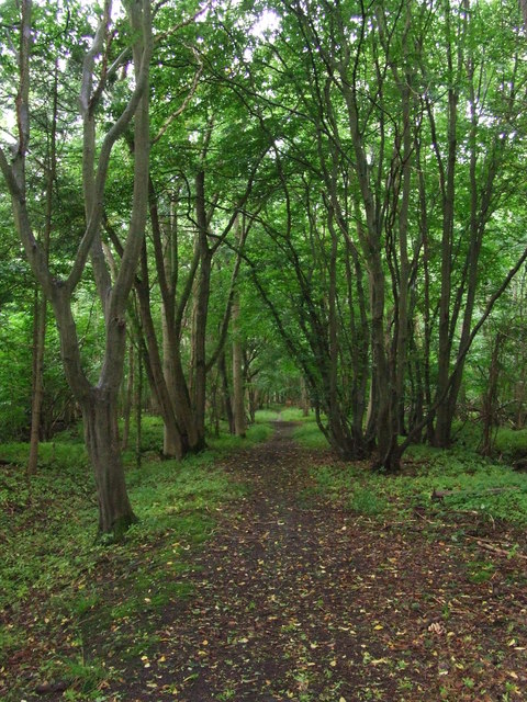
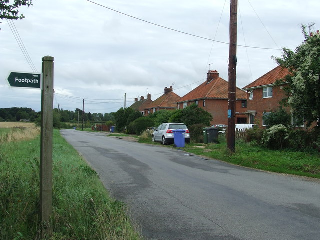
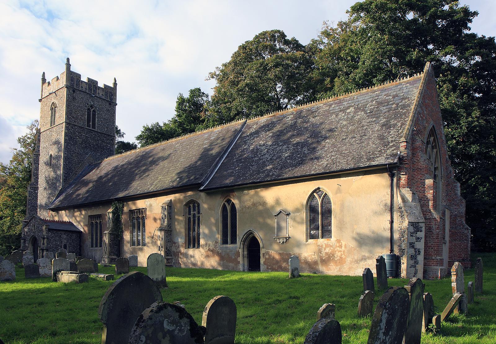
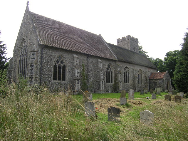
Brampton Street Images

Images are sourced within 2km of 52.380433/1.565746 or Grid Reference TM4281. Thanks to Geograph Open Source API. All images are credited.

Wooded pond
Wooded pond
Church of St. Peter, Brampton <span class="nowrap"><a title="https://historicengland.org.uk/listing/the-list/list-entry/1352565?section=official-list-entry" rel="nofollow ugc noopener" href="https://historicengland.org.uk/listing/the-list/list-entry/1352565?section=official-list-entry">Link</a><img style="margin-left:2px;" alt="External link" title="External link - shift click to open in new window" src="https://s1.geograph.org.uk/img/external.png" width="10" height="10"/></span>
Church of St. Peter, Brampton
Church of St. Andrew, Westhall <span class="nowrap"><a title="https://historicengland.org.uk/listing/the-list/list-entry/1352611?section=official-list-entry" rel="nofollow ugc noopener" href="https://historicengland.org.uk/listing/the-list/list-entry/1352611?section=official-list-entry">Link</a><img style="margin-left:2px;" alt="External link" title="External link - shift click to open in new window" src="https://s1.geograph.org.uk/img/external.png" width="10" height="10"/></span>
Church of St. Andrew, Westhall
Footpath off The Causeway Footpath off minor road marked on map as The Causeway near to Mill Common, Suffolk.
Footpath off The Causeway
Footpath off minor road marked on map as The Causeway near to Mill Common, Suffolk.
Dog Waste Bin Dog waste bin on The Causeway near to Mill Common, Suffolk.
Dog Waste Bin
Dog waste bin on The Causeway near to Mill Common, Suffolk.
Bacon's Green Road Bacon's Green Road looking east near to Mill Common, Suffolk.
Bacon's Green Road
Bacon's Green Road looking east near to Mill Common, Suffolk.
Footpath Off Low Road Footpath off Low Road looking south near to Mill Common, Suffolk.
Footpath Off Low Road
Footpath off Low Road looking south near to Mill Common, Suffolk.
Open Field Open field as seen from the footpath looking north west near to Mill Common.
Open Field
Open field as seen from the footpath looking north west near to Mill Common.
Slow Warning sign on Station Road near to Brampton Street, Suffolk.
Slow
Warning sign on Station Road near to Brampton Street, Suffolk.
Farm Track And Footpath Farm track and footpath near to Brampton Street, Suffolk.
Farm Track And Footpath
Farm track and footpath near to Brampton Street, Suffolk.
Footpath And Farmers Track Footpath and farmers track looking east near to Shadingfield, Suffolk.
Footpath And Farmers Track
Footpath and farmers track looking east near to Shadingfield, Suffolk.
Minor Road Minor road leading to North End Cottages near to Shadingfield, Suffolk.
Minor Road
Minor road leading to North End Cottages near to Shadingfield, Suffolk.
Path Through Stoven Wood Footpath through Stoven Wood near to Brampton, Suffolk.
Path Through Stoven Wood
Footpath through Stoven Wood near to Brampton, Suffolk.
Footpath Sign Footpath sign of minor road at Stoven, Suffolk.
Footpath Sign
Footpath sign of minor road at Stoven, Suffolk.
Turn Right Footpath sign guiding you to the right as seen near to Stoven, Suffolk.
Turn Right
Footpath sign guiding you to the right as seen near to Stoven, Suffolk.
The A145 Looking north along the A145 near to Stoven, Suffolk.
The A145
Looking north along the A145 near to Stoven, Suffolk.
Halesworth Road Looking north along The Halesworth Road near to Brampton, Suffolk.
Halesworth Road
Looking north along The Halesworth Road near to Brampton, Suffolk.
Road Junction Road junction of Low Road, The Street and Moll's Lane at Brompton Street, Suffolk.
Road Junction
Road junction of Low Road, The Street and Moll's Lane at Brompton Street, Suffolk.
Show me another place!

Brampton Street is located at Grid Ref: TM4281 (Lat: 52.380433, Lng: 1.565746)

Administrative County: Suffolk

District: East Suffolk

Police Authority: Suffolk

What 3 Words

///grower.message.radiated. Near Halesworth, Suffolk

Nearby Locations

Brampton Street

Related Wikis

Brampton, Suffolk

Brampton is a village and former civil parish, now in the parish of Brampton with Stoven, in the East Suffolk district, in the county of Suffolk, England...

Brampton with Stoven

Brampton with Stoven is a civil parish in the East Suffolk district of the English county of Suffolk. It is located 6 miles (9.7 km) south of the town...

Westhall

Westhall is a village and civil parish in the East Suffolk district, in the county Suffolk, England about 3 miles (5 km) north east of Halesworth, 1 mile...

Stoven

Stoven is a village and former civil parish now in the parish of Brampton with Stoven, in the East Suffolk district of the English county of Suffolk. It...

Nearby Amenities

Located within 500m of 52.380433,1.565746
Grove Cottages
Naptan AtcoCode: 390060094
Naptan Bearing: E
Naptan BusStopType: CUS
Naptan CommonName: Grove Cottages
Naptan Indicator: opp
Naptan Landmark: Grove Cottages
Naptan NaptanCode: sufgmpmp
Naptan Street: Low Road
Naptan Verified: no
Source: naptan_import
Lat/Long: 52.3800219/1.5669718
Grove Cottages
Naptan AtcoCode: 390060095
Naptan Bearing: W
Naptan BusStopType: CUS
Naptan CommonName: Grove Cottages
Naptan Indicator: adj
Naptan Landmark: Grove Cottages
Naptan NaptanCode: sufgmpmt
Naptan Street: Low Road
Naptan Verified: no
Source: naptan_import
Lat/Long: 52.3799856/1.5669836
Bus Stop
Telephone Box
Naptan AtcoCode: 390060997
Naptan Bearing: S
Naptan CommonName: Telephone Box
Naptan Indicator: o/s
Naptan Landmark: Telephone Box
Naptan NaptanCode: sufjmdtd
Naptan Street: Molls Lane
Naptan Verified: no
Source: naptan_import
Lat/Long: 52.3821058/1.5658758
Bus Stop
Telephone Box
Naptan AtcoCode: 390060998
Naptan Bearing: N
Naptan BusStopType: CUS
Naptan CommonName: Telephone Box
Naptan Indicator: opp
Naptan Landmark: Telephone Box
Naptan NaptanCode: sufjmdtg
Naptan Street: Molls Lane
Naptan Verified: no
Source: naptan_import
Lat/Long: 52.3821884/1.5658237
Public Bookcase
Booth: K6
Disused Amenity: telephone
Man Made: telephone_box
Public Bookcase Type: phone_box
Lat/Long: 52.3820712/1.5659211
Post Box
Post Box Type: lamp
Royal Cypher: EIIR
Lat/Long: 52.3820935/1.5659197
The data included in this document is from www.openstreetmap.org. The data is made available under ODbL.

Have you been to Brampton Street?

Leave your review of Brampton Street below (or comments, questions and feedback).