Whilton Locks
Settlement in Northamptonshire
England
Whilton Locks

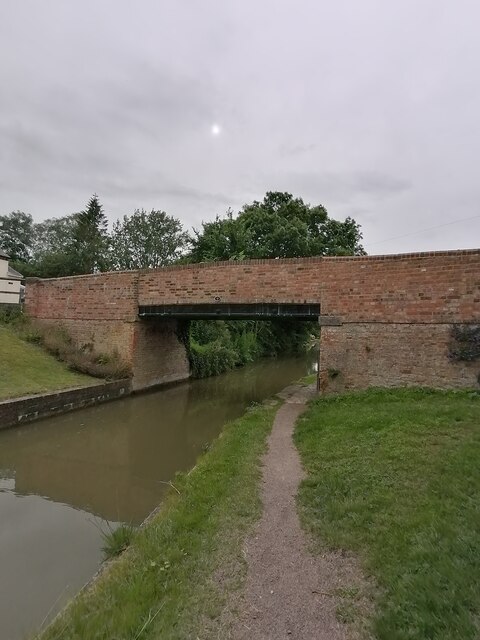
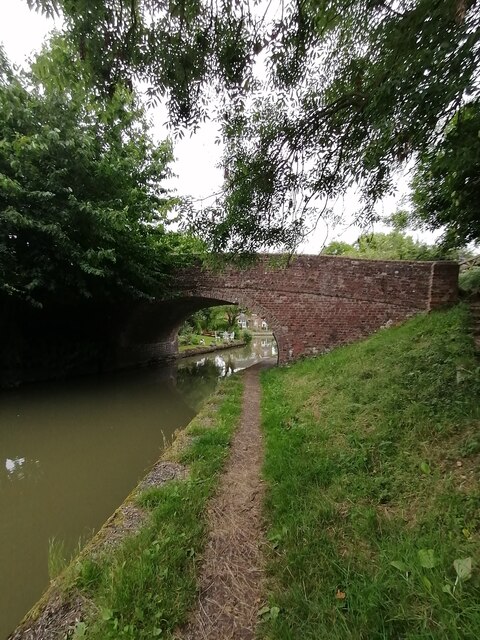
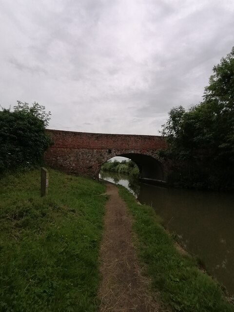
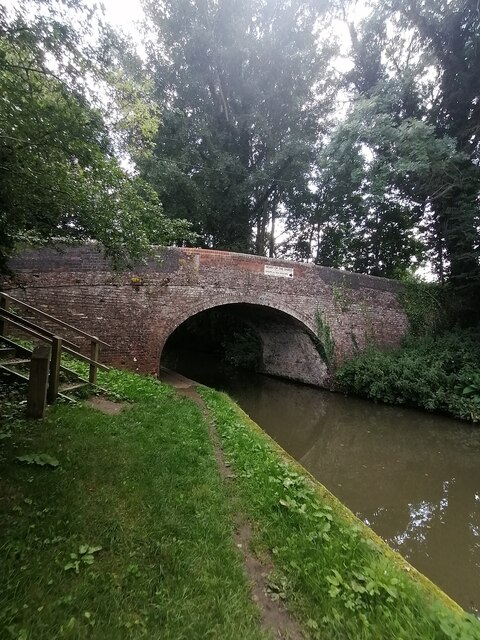
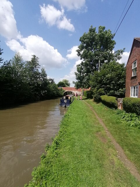
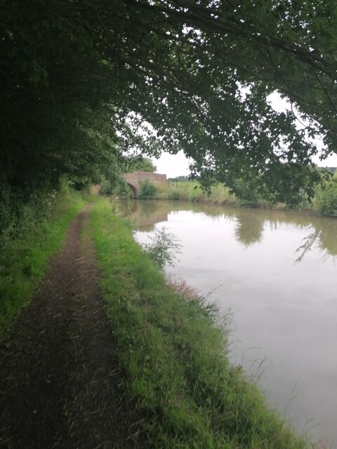
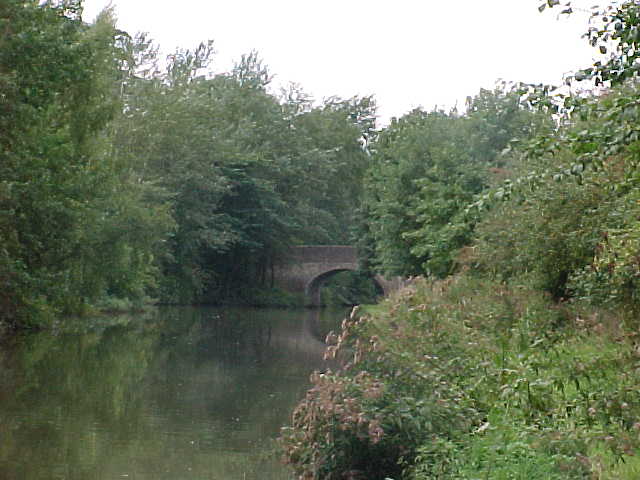
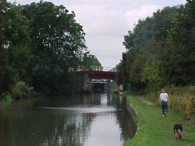
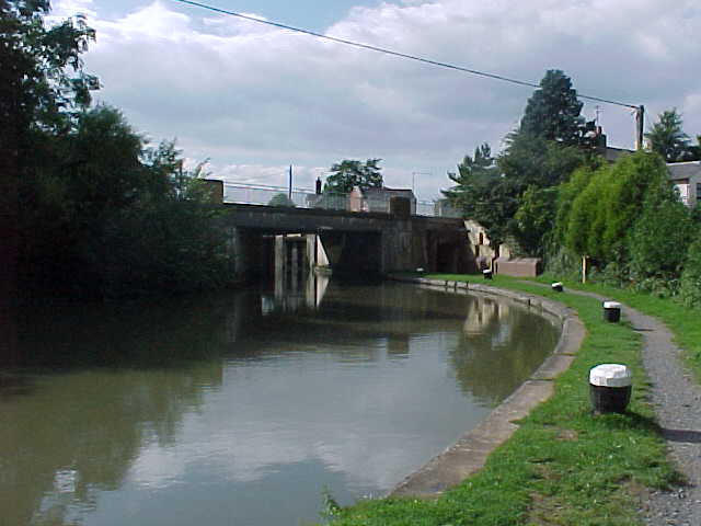
Whilton Locks is a small village located in the county of Northamptonshire, England. Situated approximately 7 miles southeast of Daventry, the village is known for its picturesque canal and lock system, which forms part of the Grand Union Canal.
The village is bordered by the A5 road to the west, providing easy access to nearby towns and cities. Despite its rural setting, Whilton Locks is well-connected to the rest of the county, making it an attractive destination for tourists and locals alike.
One of the main attractions in Whilton Locks is the Whilton Marina, which offers boat hire and moorings. Boasting over 200 berths, it is one of the largest inland marinas in the United Kingdom. The marina is a bustling hub of activity, with a variety of boats and narrowboats passing through the locks.
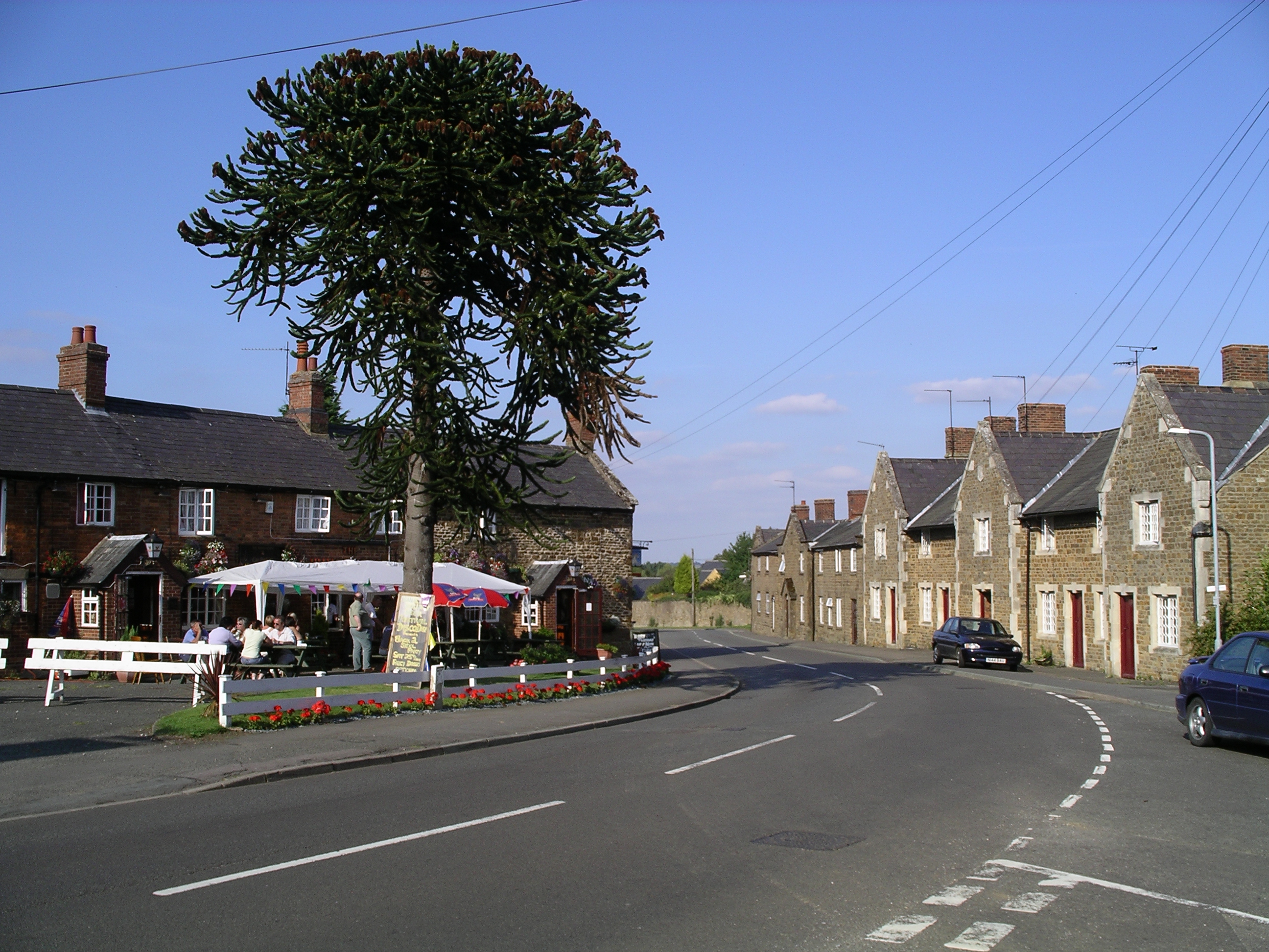
In addition to the marina, Whilton Locks is also home to a number of charming canal-side pubs and restaurants. These establishments offer visitors the opportunity to relax and enjoy a meal or drink while taking in the beautiful scenery.
The village itself is relatively small, with a population of around 500 residents. It has a close-knit community, with events and activities organized throughout the year to bring people together.
Overall, Whilton Locks is a tranquil and picturesque village in Northamptonshire, offering visitors a unique glimpse into the region's canal heritage. With its charming marina, canal-side pubs, and friendly community, it is a hidden gem worth exploring.
If you have any feedback on the listing, please let us know in the comments section below.
Whilton Locks Images
Images are sourced within 2km of 52.270781/-1.107476 or Grid Reference SP6164. Thanks to Geograph Open Source API. All images are credited.


Whilton Locks is located at Grid Ref: SP6164 (Lat: 52.270781, Lng: -1.107476)
Unitary Authority: West Northamptonshire
Police Authority: Northamptonshire
What 3 Words
///spud.readjust.streetcar. Near Long Buckby, Northamptonshire
Nearby Locations
Related Wikis
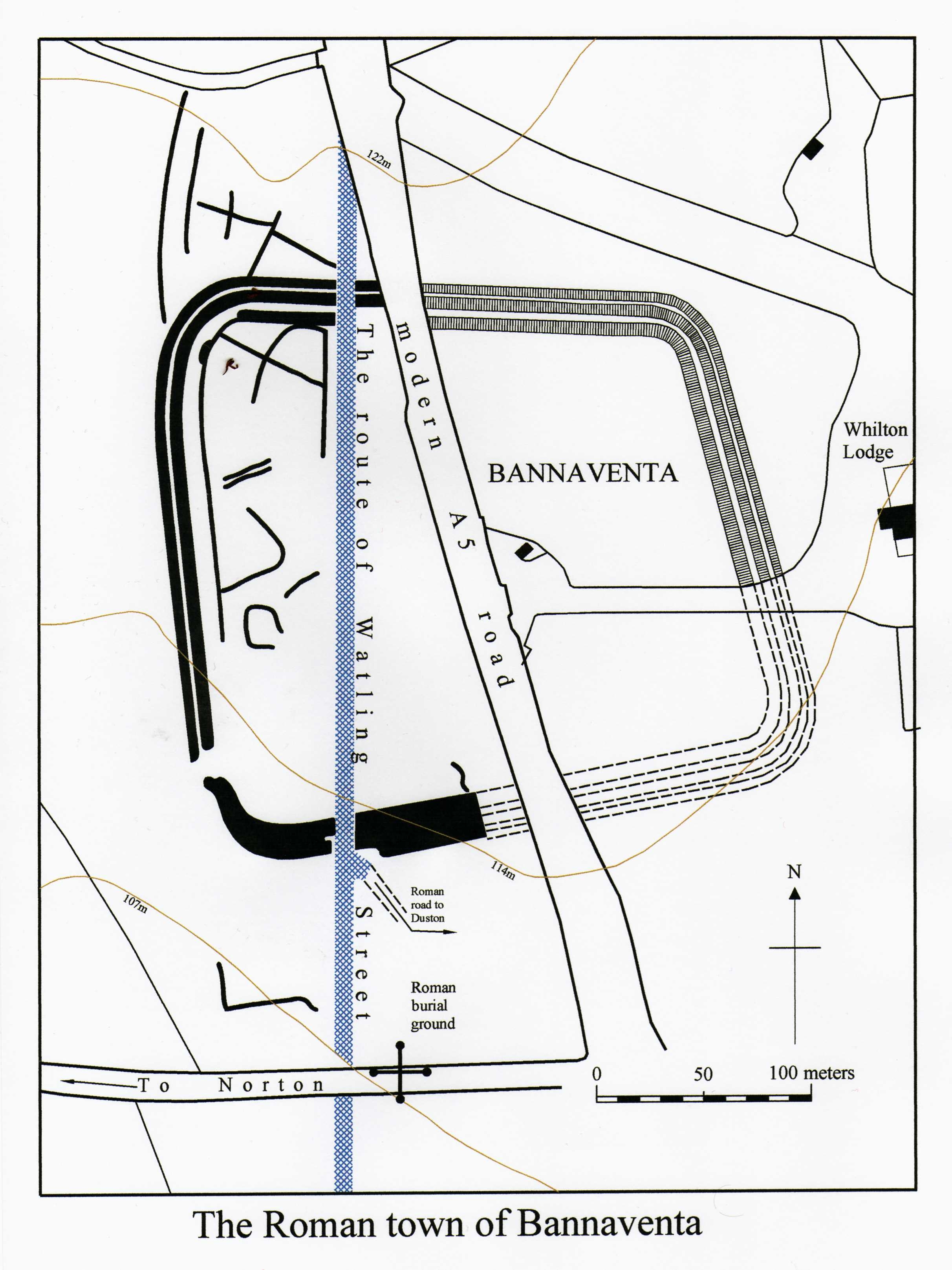
Bannaventa
Bannaventa or Benaventa was a Romano-British fortified town which was on the Roman road later called Watling Street, which today is here, as in most places...
Norton, Northamptonshire
Norton is a village in West Northamptonshire. The population including Brokhall and Norton at the 2011 census was 434. The village is about 2 miles (3...

Whilton Locks
Whilton Locks is the name of a flight of seven locks on the Grand Union Canal near Daventry, in the county of Northamptonshire, England. They are also...

Muscott
Muscott is a hamlet in Norton civil parish in the south of the English county of Northamptonshire. == External links == grid reference SP625633

Muscott (lost settlement)
The lost village of Muscott is located within the parish of Norton in the English county of Northamptonshire. == Gallery == == References ==

European route E13
European route E13 is part of the International E-road network. It runs most of the length of the M1 motorway in the United Kingdom, from South Yorkshire...

Borough Hill Roman villa
Borough Hill Roman villa is located on the north tip of Borough Hill, a prominent hill near the town of Daventry in Northamptonshire. The villa’s remains...

Whilton
Whilton is a village and a civil parish in the English county of Northamptonshire. The population (including Slapton) at the 2011 Census was 271. The...
Have you been to Whilton Locks?
Leave your review of Whilton Locks below (or comments, questions and feedback).