Whimble

Settlement in Devon Torridge

England

Whimble

Holsworthy town centre
Holsworthy town centre Credit: Roy Hughes

Whimble is a small village located in the county of Devon, in southwestern England. Situated amidst picturesque countryside, the village is known for its tranquil and idyllic setting. With a population of around 200 residents, Whimble exudes a tight-knit community atmosphere.

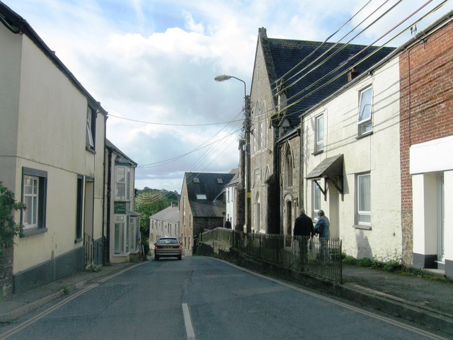
The architecture of Whimble is a delightful blend of charming thatched-roof cottages, historic stone buildings, and traditional English village houses. Nestled in the heart of the village is a quaint parish church, dating back several centuries, which adds to the village's timeless charm.

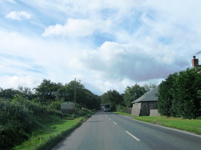
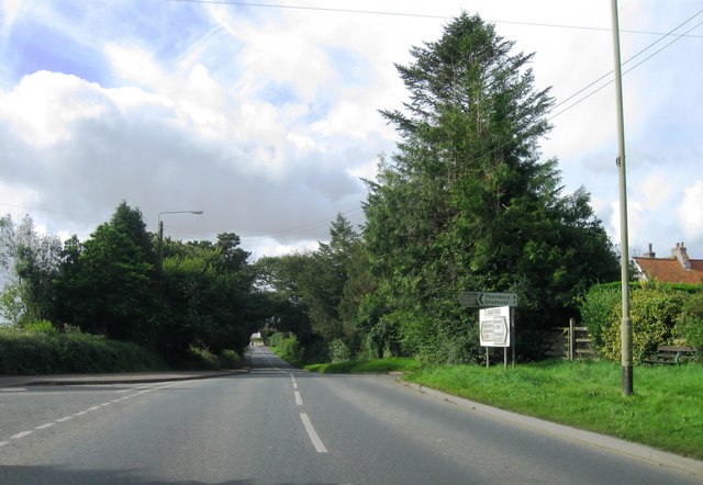
Nature enthusiasts will appreciate the surrounding natural beauty of Whimble. The village is surrounded by rolling hills, lush green pastures, and meandering streams that offer scenic walks and opportunities for outdoor exploration. The nearby Whimble Woods is a popular spot for locals and visitors alike, offering diverse flora and fauna, making it an ideal destination for nature lovers.

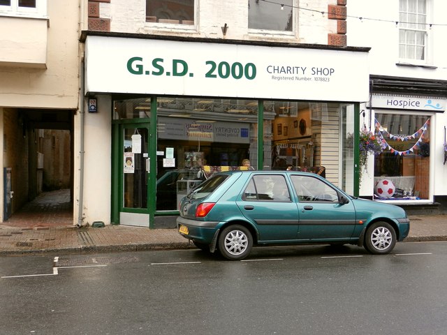
While Whimble is primarily a residential village, it does offer a few amenities to cater to its inhabitants. There is a small village shop, providing essential groceries, and a cozy pub where locals gather for socializing and enjoying traditional British cuisine.

Whimble's location also makes it an excellent base for exploring the wider Devon region. The village is within easy reach of the vibrant city of Exeter, with its historic cathedral and bustling shopping streets. Additionally, the stunning coastline of the English Riviera is just a short drive away, offering sandy beaches, charming seaside towns, and breathtaking coastal walks.

In summary, Whimble is a charming and peaceful village in Devon, offering a tranquil setting, beautiful natural surroundings, and easy access to both rural and urban attractions.

If you have any feedback on the listing, please let us know in the comments section below.
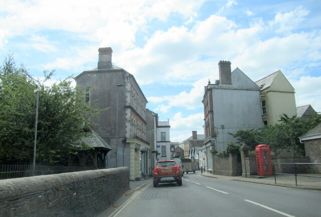
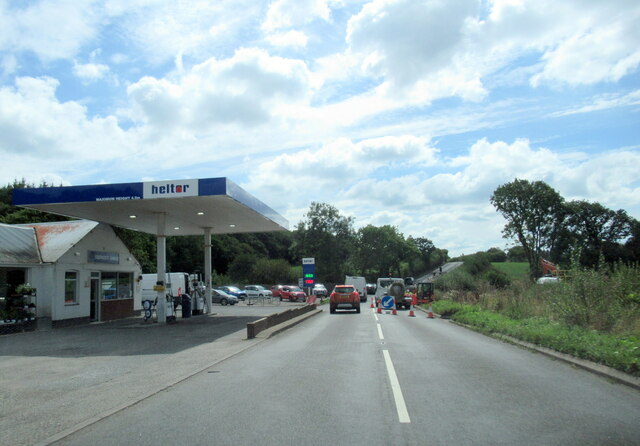
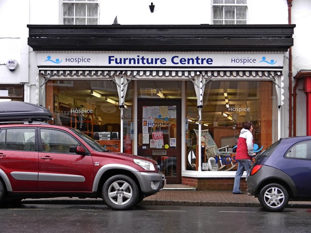
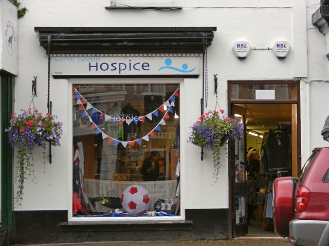
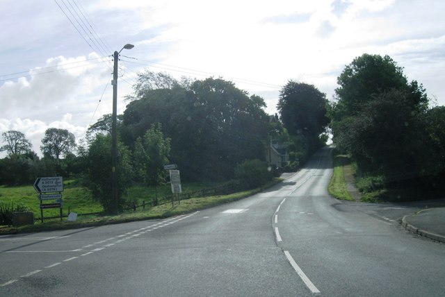
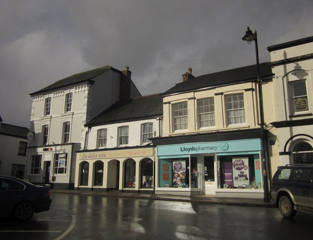
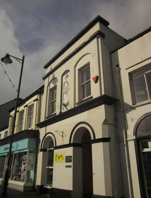
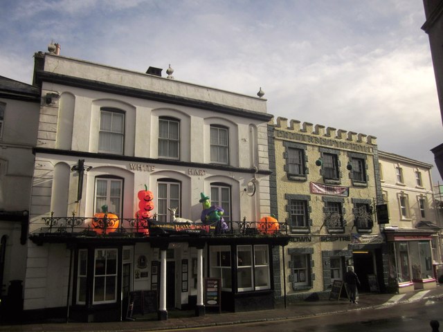
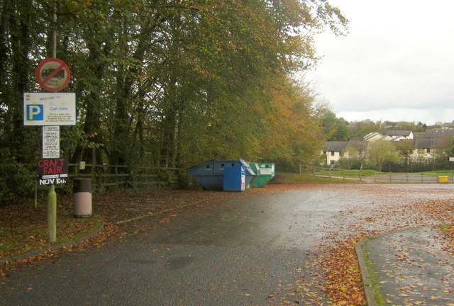
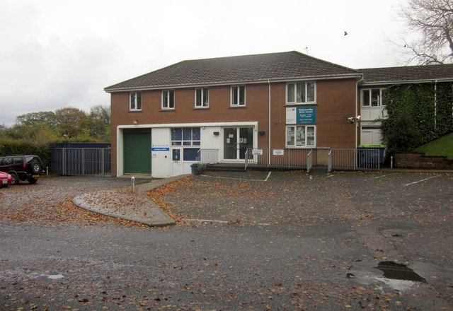
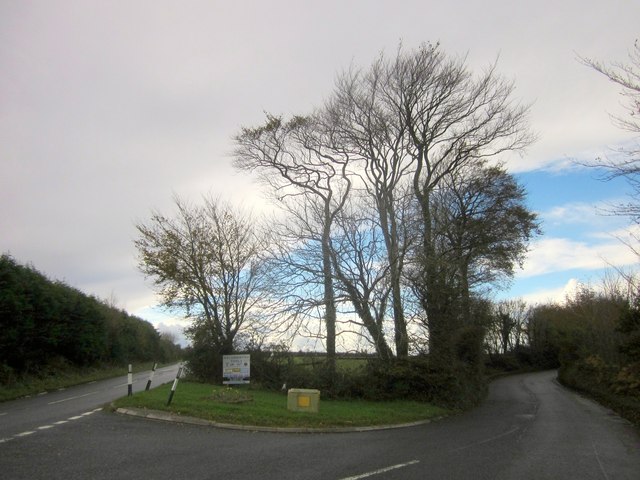
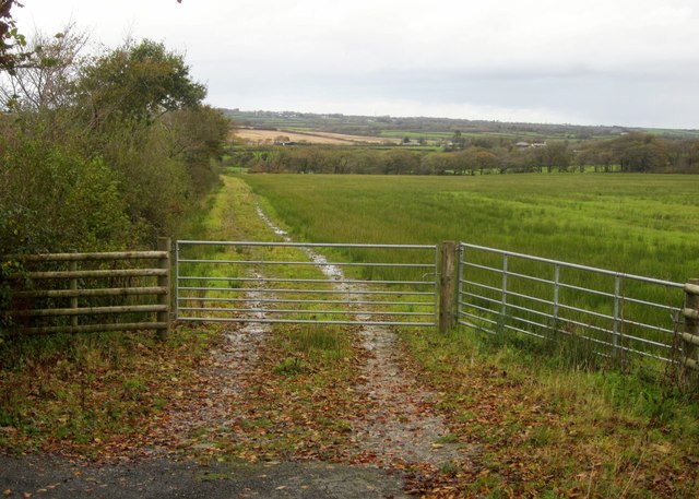
Whimble Images

Images are sourced within 2km of 50.803119/-4.344127 or Grid Reference SS3403. Thanks to Geograph Open Source API. All images are credited.

Holsworthy town centre
Southcott Garage by the A388
The British Heart Foundation Charity Shop, 22 The Square, Holsworthy
North Devon Hospice Furniture Shop, 21b The Square, Holsworthy North Devon Hospice, Deer Park.
North Devon Hospice Furniture Shop, 21b The Square, Holsworthy
North Devon Hospice, Deer Park.
North Devon Hospice Charity Shop, 21a The Square, Holsworthy North Devon Hospice, Deer Park.
North Devon Hospice Charity Shop, 21a The Square, Holsworthy
North Devon Hospice, Deer Park.
G.S.D. 2000 Charity Shop, 20 The Square, Holsworthy
Entrance to Holsworthy
A388 southwest bound
Centre of Holsworthy
A388 south bound
A388 south bound
The Square, Holsworthy A closer view of the north side of the square shown in <a href="https://www.geograph.org.uk/photo/52908">SS3403 : The Square, Holsworthy</a> and <a href="https://www.geograph.org.uk/photo/1807620">SS3403 : The Square in Holsworthy</a>, with a bank and a pharmacy sandwiching an ice cream and sweet shop. The sun has emerged after a torrential rain and hail shower - it's very cold.
The Square, Holsworthy
A closer view of the north side of the square shown in SS3403 : The Square, Holsworthy and SS3403 : The Square in Holsworthy, with a bank and a pharmacy sandwiching an ice cream and sweet shop. The sun has emerged after a torrential rain and hail shower - it's very cold.
Building on The Square, Holsworthy Occupied by an arts and crafts shop, this building is to the right of those shown in <a href="https://www.geograph.org.uk/photo/3213822">SS3403 : The Square, Holsworthy</a>. Upstairs is the office of the clerk to the town council. Still looking for information about the lady with the trug, painted on the wall between the windows.
Building on The Square, Holsworthy
Occupied by an arts and crafts shop, this building is to the right of those shown in SS3403 : The Square, Holsworthy. Upstairs is the office of the clerk to the town council. Still looking for information about the lady with the trug, painted on the wall between the windows.
Adjacent pubs in Holsworthy Two listed pubs with distinctive parapets on Fore Street (the A388). On the left, decorated for Halloween (even if it is the 3rd November), is the C19 White Hart <span class="nowrap"><a title="http://list.english-heritage.org.uk/resultsingle.aspx?uid=1104942&searchtype=mapsearch" rel="nofollow ugc noopener" href="http://list.english-heritage.org.uk/resultsingle.aspx?uid=1104942&searchtype=mapsearch">Link</a><img style="margin-left:2px;" alt="External link" title="External link - shift click to open in new window" src="https://s1.geograph.org.uk/img/external.png" width="10" height="10"/></span> ; to its right is the early C20 Crown and Sceptre <span class="nowrap"><a title="http://list.english-heritage.org.uk/resultsingle.aspx?uid=1104941&searchtype=mapsearch" rel="nofollow ugc noopener" href="http://list.english-heritage.org.uk/resultsingle.aspx?uid=1104941&searchtype=mapsearch">Link</a><img style="margin-left:2px;" alt="External link" title="External link - shift click to open in new window" src="https://s1.geograph.org.uk/img/external.png" width="10" height="10"/></span> . Taken from what might be, at about 20 metres, one of the shortest high streets in the country.
Adjacent pubs in Holsworthy
Two listed pubs with distinctive parapets on Fore Street (the A388). On the left, decorated for Halloween (even if it is the 3rd November), is the C19 White Hart LinkExternal link ; to its right is the early C20 Crown and Sceptre LinkExternal link . Taken from what might be, at about 20 metres, one of the shortest high streets in the country.
Well Park car park, Holsworthy With 92 spaces. According to the internet, it costs a flat daily rate of £1, and £32 a month. Err...
Well Park car park, Holsworthy
With 92 spaces. According to the internet, it costs a flat daily rate of £1, and £32 a month. Err...
Holsworthy Skills Centre This is mapped as the Police Station, but I think a swap with a nearby vocational education centre must have taken place a little while ago; this is clearly labelled "Holsworthy Skills Centre", and the Police Station is now elsewhere in Well Park, next to the fire station.
Holsworthy Skills Centre
This is mapped as the Police Station, but I think a swap with a nearby vocational education centre must have taken place a little while ago; this is clearly labelled "Holsworthy Skills Centre", and the Police Station is now elsewhere in Well Park, next to the fire station.
Crosspark Cross Leafless beeches overlook the forked junction, with the A3072 Windmill Road on the left, and Waterloo Road heading right into Holsworthy.
Crosspark Cross
Leafless beeches overlook the forked junction, with the A3072 Windmill Road on the left, and Waterloo Road heading right into Holsworthy.
Field by Crosspark Cross Looking north from the junction shown in <a href="https://www.geograph.org.uk/photo/3214028">SS3504 : Crosspark Cross</a>.
Field by Crosspark Cross
Looking north from the junction shown in SS3504 : Crosspark Cross.
Track to Waterloo Farm From Crosspark Cross, to the left of the field shown in <a href="https://www.geograph.org.uk/photo/3214080">SS3504 : Field by Crosspark Cross</a>.
Track to Waterloo Farm
From Crosspark Cross, to the left of the field shown in SS3504 : Field by Crosspark Cross.
Show me another place!

Whimble is located at Grid Ref: SS3403 (Lat: 50.803119, Lng: -4.344127)

Administrative County: Devon

District: Torridge

Police Authority: Devon and Cornwall

What 3 Words

///trick.stitching.trunk. Near Holsworthy, Devon

Related Wikis

Holsworthy railway station

Holsworthy was a railway station in Devon, England, on the now-closed railway line from Okehampton to Bude. It opened in 1879 to serve the market town...

St Peter's and St Paul's Church, Holsworthy

St Peter's and St Paul's Church is a grade II* listed building and is the parish church of the small market town of Holsworthy, Devon, England. The present...

Holsworthy Community College

Holsworthy Community College is a co-educational secondary school located in Holsworthy in the English county of Devon.Previously a community school administered...

Holsworthy A.F.C.

Holsworthy Association Football Club is a football club based in Holsworthy, Devon, England. They play in the South West Peninsula League Premier Division...

Nearby Amenities

Located within 500m of 50.803119,-4.344127
Wimble
Fixme: Local signage identifies this place as Whimble, not Wimble. Which is correct?
Place: hamlet
Source: OS_OpenData_StreetView
Lat/Long: 50.8028162/-4.3440649
Shorston
Place: hamlet
Source: OS_OpenData_StreetView
Lat/Long: 50.8046327/-4.3399429
Power: pole
Lat/Long: 50.8026107/-4.3472815
Power: pole
Lat/Long: 50.8008138/-4.3457767
Power: pole
Lat/Long: 50.8014308/-4.346281
Power: pole
Lat/Long: 50.8018919/-4.3466806
Power: pole
Lat/Long: 50.8033328/-4.3482712
Direction: SSE
Generator Method: photovoltaic
Generator Output Electricity: yes
Generator Solar Modules: 16
Generator Source: solar
Generator Type: solar_photovoltaic_panel
Location: roof
Power: generator
Lat/Long: 50.8036235/-4.3432635
Direction: 150
Generator Method: photovoltaic
Generator Output Electricity: yes
Generator Solar Modules: 16
Generator Source: solar
Generator Type: solar_photovoltaic_panel
Location: roof
Power: generator
Lat/Long: 50.8023522/-4.3458411
Direction: 150
Generator Method: photovoltaic
Generator Output Electricity: yes
Generator Solar Modules: 16
Generator Source: solar
Generator Type: solar_photovoltaic_panel
Location: roof
Power: generator
Lat/Long: 50.802381/-4.3458679
Direction: SSE
Generator Method: photovoltaic
Generator Output Electricity: yes
Generator Solar Modules: 16
Generator Source: solar
Generator Type: solar_photovoltaic_panel
Location: roof
Power: generator
Lat/Long: 50.8021589/-4.3485381
Telephone
Defibrillator
Booth: K6
Covered: booth
Defibrillator Location: inside old red phone box at the end of Staddon Road, Wimble
Emergency: defibrillator
Man Made: telephone_box
Ref GB The Circuit: AF7A5C8F-A88A-4C77-94EA-AD73009A9EC5
Lat/Long: 50.8032016/-4.3438528
The data included in this document is from www.openstreetmap.org. The data is made available under ODbL.

Have you been to Whimble?

Leave your review of Whimble below (or comments, questions and feedback).