Whatlington

Settlement in Sussex Rother

England

Whatlington

Level Crossing at Mountfield East Sussex Small level crossing on narrow road from Netherfield to Mountfield East Sussex on the Hastings to Charing Cross line.
Level Crossing at Mountfield East Sussex Credit: Janet Richardson

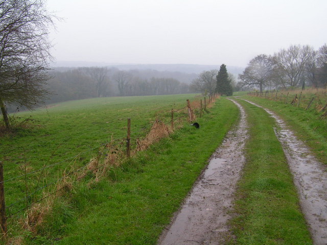
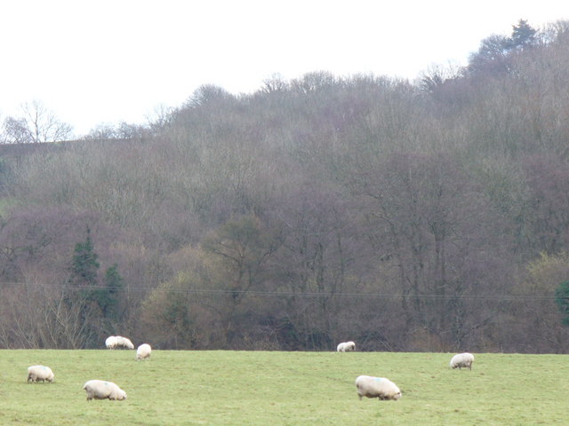
Whatlington is a small village located in the Rother district of East Sussex, England. Situated approximately 8 miles northwest of the coastal town of Hastings, it lies within the High Weald Area of Outstanding Natural Beauty. The village is surrounded by picturesque countryside, characterized by rolling hills, woodlands, and farmland.

With a population of around 300 people, Whatlington retains a strong sense of community. The village is primarily residential, consisting of a mix of historic cottages and more modern properties. The architecture reflects the area's rural charm, with many buildings constructed using traditional materials such as timber and Sussex flint.

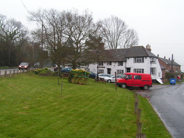
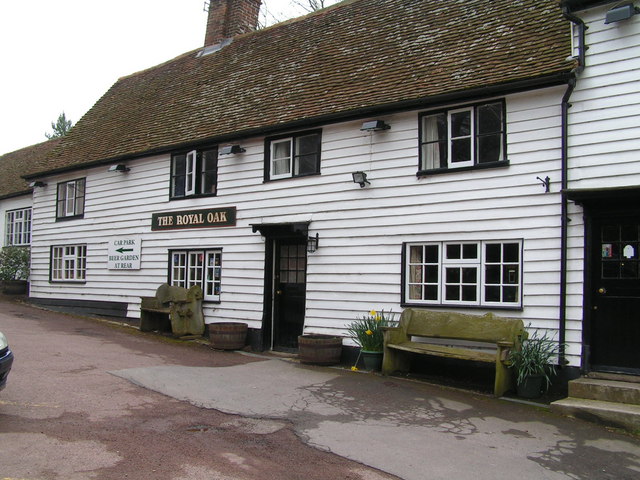
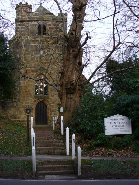
The village boasts several amenities, including a village hall, a local pub called The Royal Oak, and a small church dedicated to St. Mary Magdalene. The church, dating back to the 12th century, is a notable feature of Whatlington's history and provides a glimpse into the village's past.

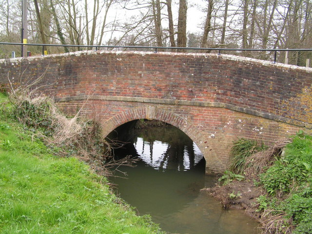
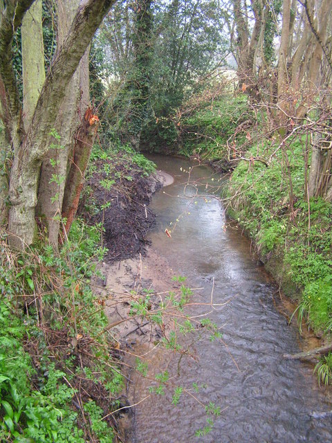
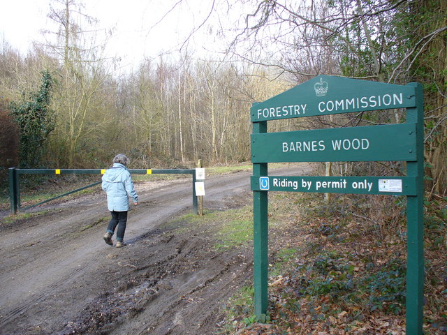
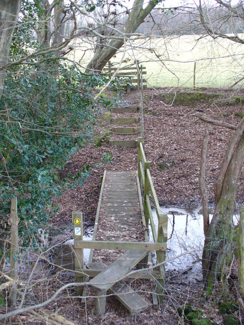
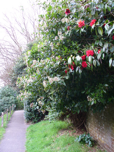
Whatlington's location offers excellent opportunities for outdoor activities. The surrounding countryside provides ample opportunities for walking, cycling, and horse riding, with numerous footpaths and bridleways crisscrossing the area. The nearby River Rother also offers fishing and boating opportunities for residents and visitors alike.

Overall, Whatlington exudes a tranquil and idyllic atmosphere, making it an appealing place for those seeking a peaceful countryside lifestyle while still being within reach of nearby towns and amenities.

If you have any feedback on the listing, please let us know in the comments section below.
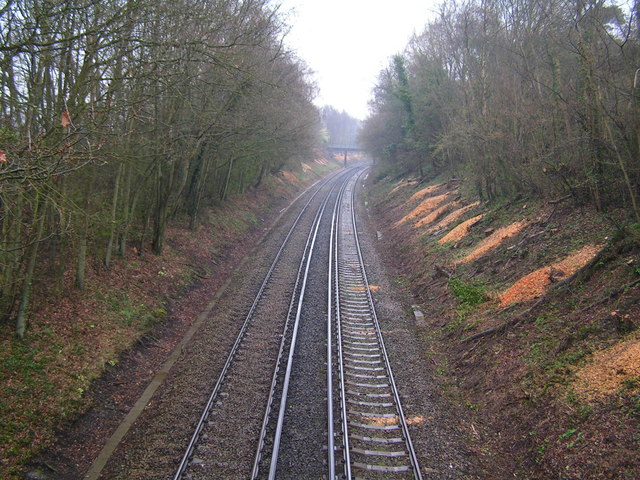
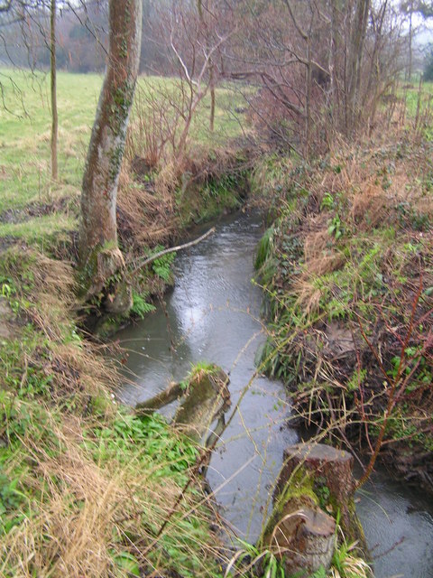
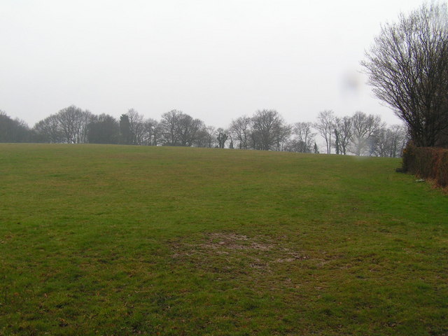
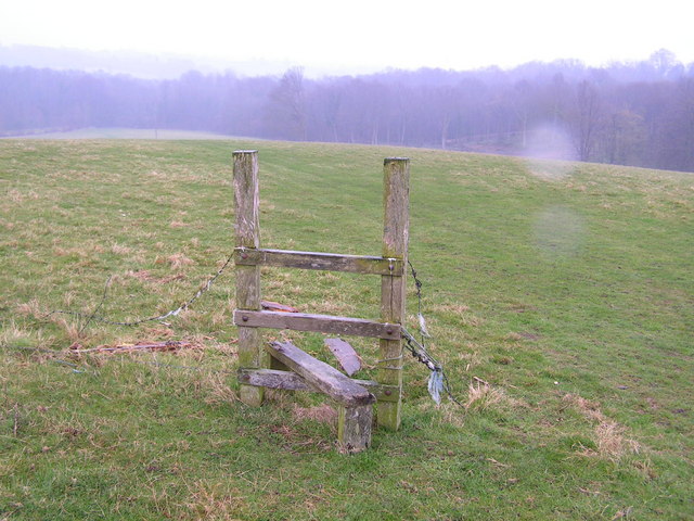
Whatlington Images

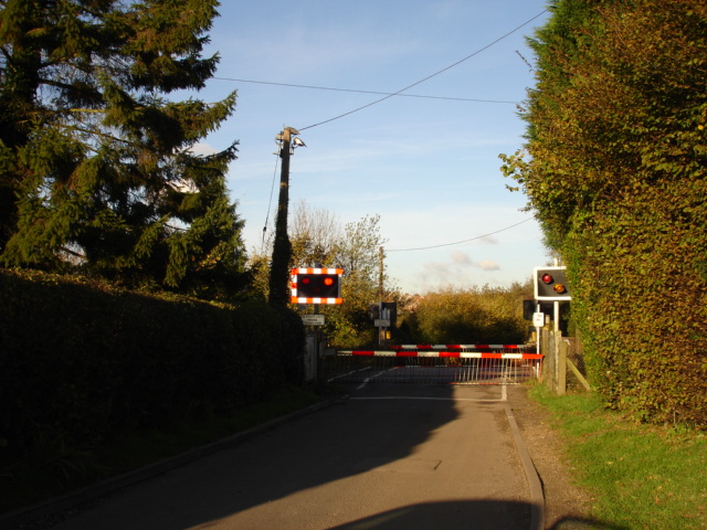
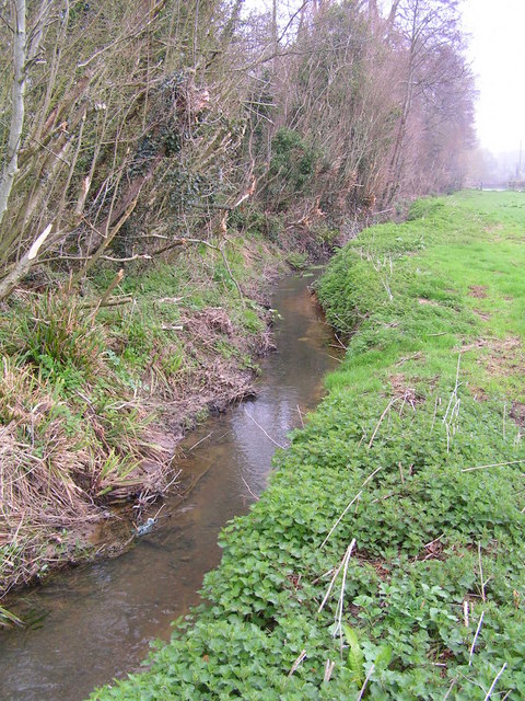
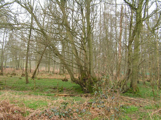
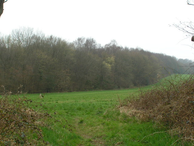
Images are sourced within 2km of 50.941171/0.508077 or Grid Reference TQ7618. Thanks to Geograph Open Source API. All images are credited.

Level Crossing at Mountfield East Sussex Small level crossing on narrow road from Netherfield to Mountfield East Sussex on the Hastings to Charing Cross line.
Level Crossing at Mountfield East Sussex
Small level crossing on narrow road from Netherfield to Mountfield East Sussex on the Hastings to Charing Cross line.
R. Brede running along the edge of Petley Woods A very clear Wealden stream
R. Brede running along the edge of Petley Woods
A very clear Wealden stream
Petley Woods Typical Wealden woodland of mixed trees
Petley Woods
Typical Wealden woodland of mixed trees
The Northern edge of Petley Woods Very typical High Wealden landscape
The Northern edge of Petley Woods
Very typical High Wealden landscape
Bridge over the River Line, Whatlington A sussex byway crosses this small river in the Hamlet / Small village of Whatlington
Bridge over the River Line, Whatlington
A sussex byway crosses this small river in the Hamlet / Small village of Whatlington
The Royal Oak, Whatlington This public house was built in 1490. The apple tree in the garden is wassailed every year. The A21 runs by its side.
The Royal Oak, Whatlington
This public house was built in 1490. The apple tree in the garden is wassailed every year. The A21 runs by its side.
The Royal Oak, Whatlington In the bar is a very deep well & a very large inglenook
The Royal Oak, Whatlington
In the bar is a very deep well & a very large inglenook
The River Line A few miles downstream from here this river joins the R. Brede
The River Line
A few miles downstream from here this river joins the R. Brede
Tonbridge to Hastings railway line This is the main London to Hastings line via Tonbridge
Tonbridge to Hastings railway line
This is the main London to Hastings line via Tonbridge
A small wealden stream A small tributary of the R. Line
A small wealden stream
A small tributary of the R. Line
A field near Lower Gate Farm Typical wealden scene
A field near Lower Gate Farm
Typical wealden scene
A defunct stile The footpath running through this area is difficult to follow and this stile sums it up!
A defunct stile
The footpath running through this area is difficult to follow and this stile sums it up!
Farm track through the weald A typical piece of High weald scenery.
Farm track through the weald
A typical piece of High weald scenery.
Barnes Wood A forest track leading into the wood where it was a busy day for foresters. A few sections of track were rendered nearly impassable by the deep ruts in the mud.
Barnes Wood
A forest track leading into the wood where it was a busy day for foresters. A few sections of track were rendered nearly impassable by the deep ruts in the mud.
Footbridge North of Sedlescombe East Sussex Council maintains this area well. A stile, footbridge, steps and a second stile make the going easy for walkers to cross this stream.
Footbridge North of Sedlescombe
East Sussex Council maintains this area well. A stile, footbridge, steps and a second stile make the going easy for walkers to cross this stream.
Grazing Sheep at Footland The wet grassland provides sustenance for many sheep as they enter the lambing season. Beyond the fields, the valleysides are clothed by deciduous trees.
Grazing Sheep at Footland
The wet grassland provides sustenance for many sheep as they enter the lambing season. Beyond the fields, the valleysides are clothed by deciduous trees.
Sedlescombe Parish Church The parish church of St John the Baptist dates from the 13th Century but the west tower seen here dates from 15th Century. Spanish chestnuts flank the entrance while there are, naturally, yews in the churchyard.
Sedlescombe Parish Church
The parish church of St John the Baptist dates from the 13th Century but the west tower seen here dates from 15th Century. Spanish chestnuts flank the entrance while there are, naturally, yews in the churchyard.
Footpath at Sedlescombe Church The path parallels the village street which follows the ridge line between the River Line and another tributary of the River Brede. Rhododendrons and skimmia lining the churchyard are blooming in February.
Footpath at Sedlescombe Church
The path parallels the village street which follows the ridge line between the River Line and another tributary of the River Brede. Rhododendrons and skimmia lining the churchyard are blooming in February.
Show me another place!

Whatlington is located at Grid Ref: TQ7618 (Lat: 50.941171, Lng: 0.508077)

Administrative County: East Sussex

District: Rother

Police Authority: Sussex

What 3 Words

///asteroid.backtrack.compress. Near Battle, East Sussex

Nearby Locations

Riccards Wood Whatlington

Related Wikis

Whatlington

Whatlington is a village and civil parish in the Rother district of East Sussex, England. The village is seven miles (11 km) north of Hastings, just off...

Durhamford Manor

Durhamford Manor is a Grade II* listed country house in the parish of Sedlescombe, East Sussex, England. The timber-framed, close-studded house dates to...

Mountfield Halt railway station

Mountfield Halt (TQ 746 197 50°57′01″N 0°29′12″E) was situated on the Hastings Line between Robertsbridge and Battle. It opened in 1923 and was closed...

Vinehall Street

Vinehall Street (or Vinehall), is a linear settlement in the civil parishes of Mountfield and Whatlington, and the Rother district of East Sussex, England...

Nearby Amenities

Located within 500m of 50.941171,0.508077
Whatlington
Place: village
Lat/Long: 50.9385582/0.5065646
Post Box
Collection Times: Mo-Fr 17:00; Sa 11:15
Operator: Royal Mail
Operator Wikidata: Q638098
Post Box Type: wall
Ref: TN33 114
Royal Cypher: EIIR
Royal Cypher Wikidata: Q33102113
Lat/Long: 50.9375338/0.504402
Post Box
Collection Times: Mo-Fr 17:00; Sa 11:15
Operator: Royal Mail
Operator Wikidata: Q638098
Post Box Type: lamp
Ref: TN33 274
Royal Cypher: EIIR
Royal Cypher Wikidata: Q33102113
Lat/Long: 50.9451202/0.5088262
Defibrillator
Access: yes
Defibrillator Location: outside Royal Oak pub
Emergency: defibrillator
Indoor: no
Lat/Long: 50.9452534/0.5088343
Give Way
Direction: backward
Lat/Long: 50.9383442/0.5060712
Barrier: stile
Lat/Long: 50.9383997/0.5060664
Ford: yes
Lat/Long: 50.9415248/0.5028005
Woodmans Green
Place: hamlet
Lat/Long: 50.9455598/0.5087354
The data included in this document is from www.openstreetmap.org. The data is made available under ODbL.

Have you been to Whatlington?

Leave your review of Whatlington below (or comments, questions and feedback).