Bramcote Mains

Settlement in Warwickshire Rugby

England

Bramcote Mains

Ashby Canal near Bramcote in Warwickshire Looking north-east as the canal meanders towards Hinckley. The woodland on the Bramcote Hill ahead is by the B4114 Lutterworth Road 

After several years of construction the canal was fully opened by 1804. The section north of Snarestone was closed in 1966, leaving 22 viable miles to restore and maintain. It is now a very popular waterway for lock-free rural cruising.

<span class="nowrap"><a title="https://en.wikipedia.org/wiki/Ashby_Canal" rel="nofollow ugc noopener" href="https://en.wikipedia.org/wiki/Ashby_Canal">Link</a><img style="margin-left:2px;" alt="External link" title="External link - shift click to open in new window" src="https://s1.geograph.org.uk/img/external.png" width="10" height="10"/></span>
Ashby Canal near Bramcote in Warwickshire Credit: Roger Kidd

Bramcote Mains is a small village located in the county of Warwickshire, England. Situated approximately 7 miles north of the town of Rugby, it lies in a rural setting surrounded by picturesque countryside. The village is home to a population of around 300 residents, offering a close-knit and friendly community atmosphere.

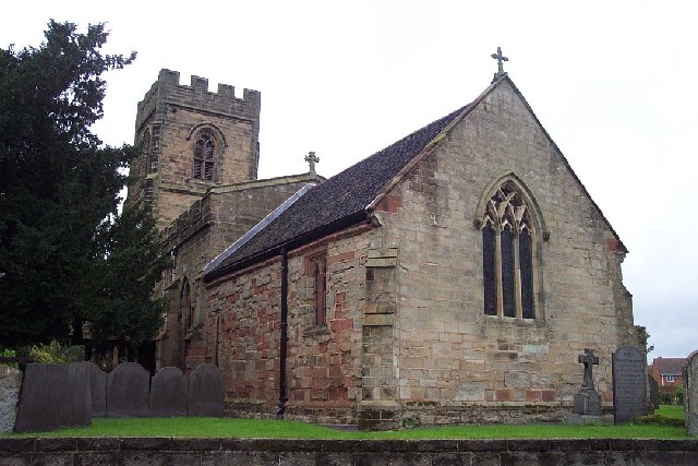
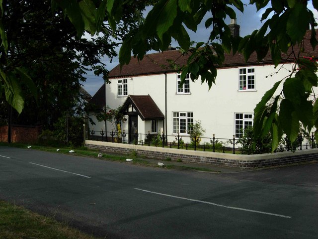
Bramcote Mains is known for its charming and well-preserved historic buildings, with many dating back to the 17th and 18th centuries. The architecture reflects the village's rich history, and visitors can admire the traditional thatched cottages and stone houses that line its streets.

The village is fortunate to have a range of amenities to cater to its residents. These include a local pub, which serves as a popular meeting place for villagers and visitors alike. Additionally, Bramcote Mains boasts a village hall that hosts various community events and gatherings throughout the year.

The surrounding countryside offers numerous opportunities for outdoor activities and exploration. There are several walking and cycling trails that allow visitors to appreciate the natural beauty of the area, with rolling hills, meandering rivers, and lush green fields. The village is also within close proximity to several nature reserves and parks, providing ample opportunities for wildlife spotting and birdwatching.

Overall, Bramcote Mains is a charming and idyllic village, offering a peaceful retreat from the bustling city life. Its historical character, community spirit, and scenic surroundings make it an attractive destination for both residents and visitors seeking a tranquil countryside experience.

If you have any feedback on the listing, please let us know in the comments section below.

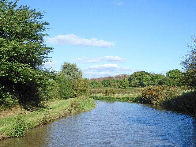
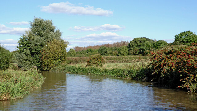
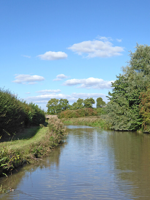
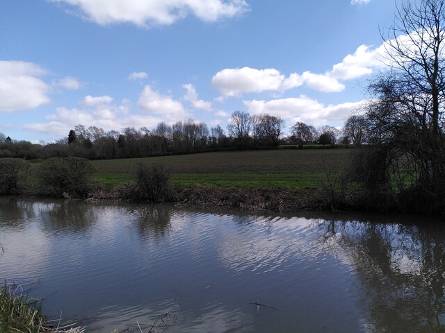
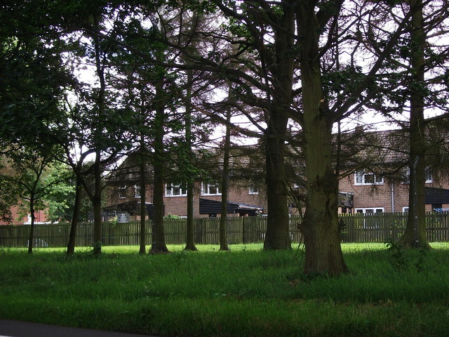
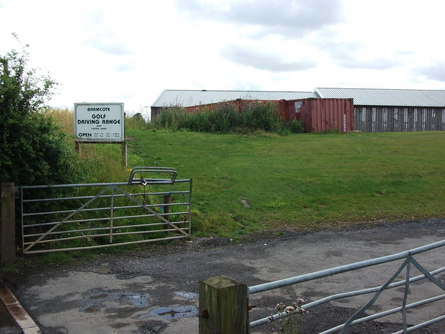
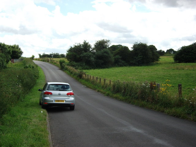
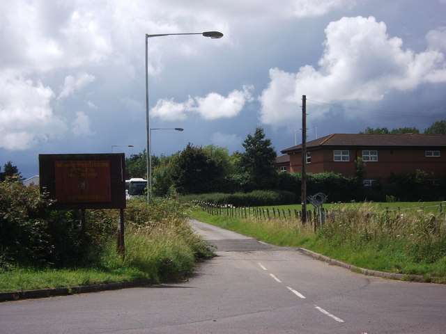
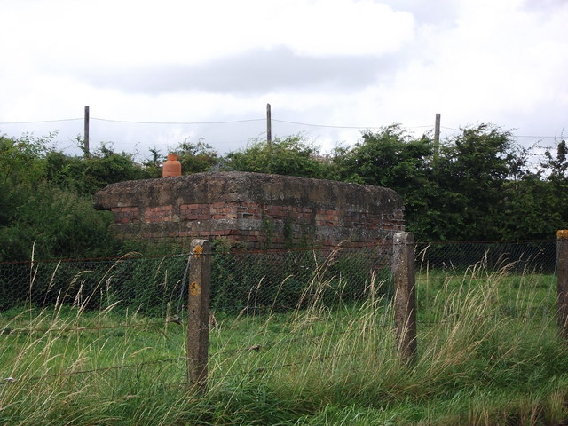
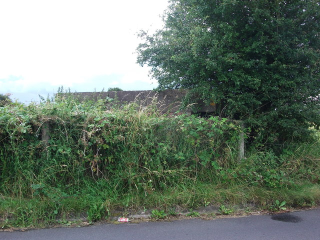
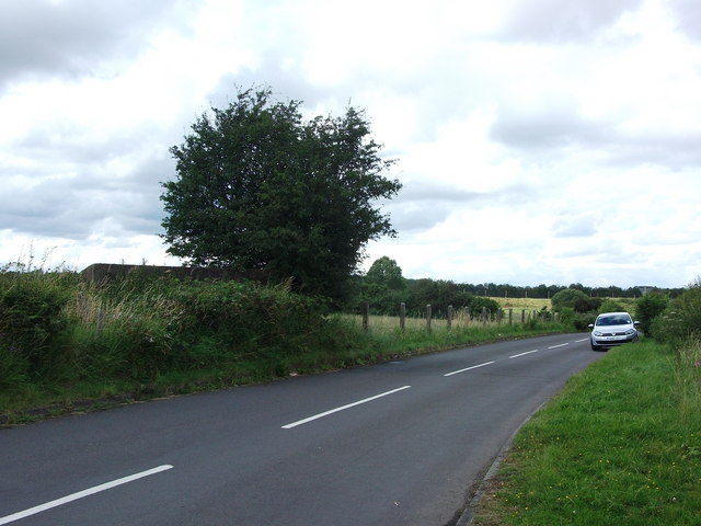
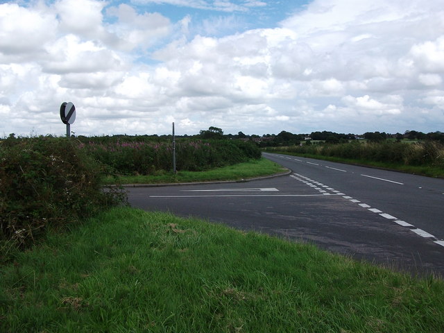
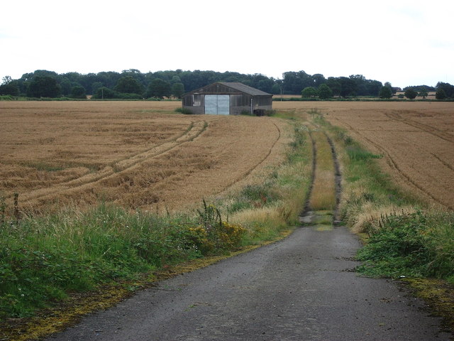
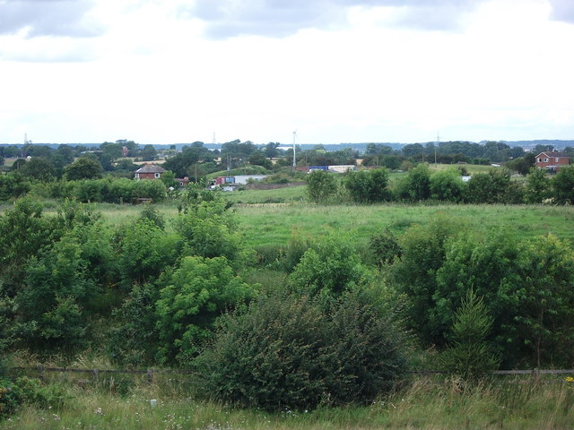
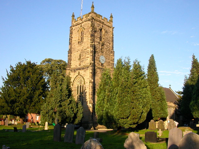
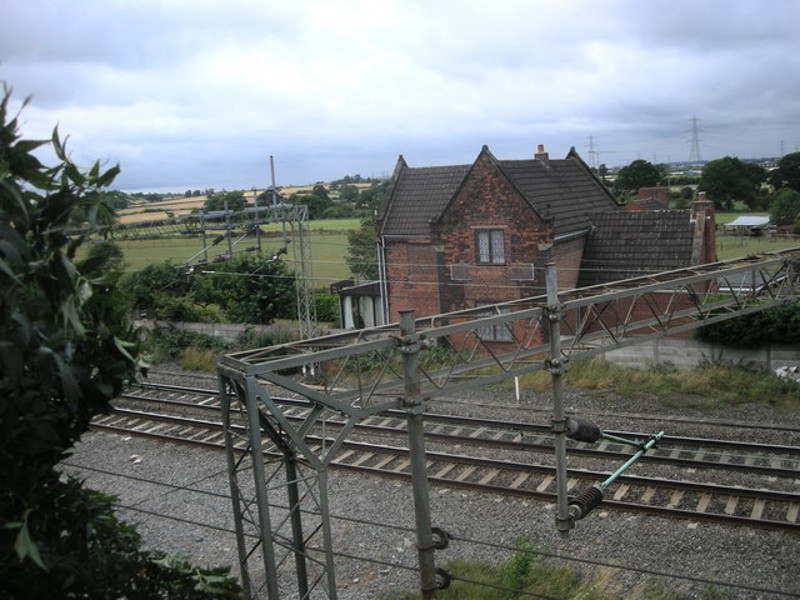
Bramcote Mains Images

Images are sourced within 2km of 52.479467/-1.4124691 or Grid Reference SP4087. Thanks to Geograph Open Source API. All images are credited.

Ashby Canal near Bramcote in Warwickshire Looking north-east as the canal meanders towards Hinckley. The woodland on the Bramcote Hill ahead is by the B4114 Lutterworth Road 

After several years of construction the canal was fully opened by 1804. The section north of Snarestone was closed in 1966, leaving 22 viable miles to restore and maintain. It is now a very popular waterway for lock-free rural cruising.

<span class="nowrap"><a title="https://en.wikipedia.org/wiki/Ashby_Canal" rel="nofollow ugc noopener" href="https://en.wikipedia.org/wiki/Ashby_Canal">Link</a><img style="margin-left:2px;" alt="External link" title="External link - shift click to open in new window" src="https://s1.geograph.org.uk/img/external.png" width="10" height="10"/></span>
Ashby Canal near Bramcote in Warwickshire
Looking north-east as the canal meanders towards Hinckley. The woodland on the Bramcote Hill ahead is by the B4114 Lutterworth Road After several years of construction the canal was fully opened by 1804. The section north of Snarestone was closed in 1966, leaving 22 viable miles to restore and maintain. It is now a very popular waterway for lock-free rural cruising. LinkExternal link
Canal and farmland near Bramcote in Warwickshire Looking north-east as the canal meanders towards Hinckley. The woodland on the Bramcote Hill ahead is by the B4114 Lutterworth Road.

Stephen McKay summarises:
Canal and farmland near Bramcote in Warwickshire
Looking north-east as the canal meanders towards Hinckley. The woodland on the Bramcote Hill ahead is by the B4114 Lutterworth Road. Stephen McKay summarises:
Ashby Canal near Bramcote in Warwickshire Looking north-east as the canal meanders towards Hinckley. Bramcote Road Bridge (No 6) is ahead.
After several years of construction the canal was fully opened by 1804. The section north of Snarestone was closed in 1966, leaving 22 viable miles to restore and maintain. It is now a very popular waterway for lock-free rural cruising.

<span class="nowrap"><a title="https://en.wikipedia.org/wiki/Ashby_Canal" rel="nofollow ugc noopener" href="https://en.wikipedia.org/wiki/Ashby_Canal">Link</a><img style="margin-left:2px;" alt="External link" title="External link - shift click to open in new window" src="https://s1.geograph.org.uk/img/external.png" width="10" height="10"/></span>
Ashby Canal near Bramcote in Warwickshire
Looking north-east as the canal meanders towards Hinckley. Bramcote Road Bridge (No 6) is ahead. After several years of construction the canal was fully opened by 1804. The section north of Snarestone was closed in 1966, leaving 22 viable miles to restore and maintain. It is now a very popular waterway for lock-free rural cruising. LinkExternal link
Ashby-de-la-Zouch Canal near Bramcote This is a view across the canal, looking up the slope towards the Gamecock Barracks. This site in Bramcote has been in military use since the late 1930s, first as a Royal Air Force airfield, later as a naval airfield called HMS Gamecock, and since 1959 as an army barracks; see Wikipedia <span class="nowrap"><a title="https://en.wikipedia.org/wiki/RAF_Bramcote" rel="nofollow ugc noopener" href="https://en.wikipedia.org/wiki/RAF_Bramcote">Link</a><img style="margin-left:2px;" alt="External link" title="External link - shift click to open in new window" src="https://s1.geograph.org.uk/img/external.png" width="10" height="10"/></span> .
Ashby-de-la-Zouch Canal near Bramcote
This is a view across the canal, looking up the slope towards the Gamecock Barracks. This site in Bramcote has been in military use since the late 1930s, first as a Royal Air Force airfield, later as a naval airfield called HMS Gamecock, and since 1959 as an army barracks; see Wikipedia LinkExternal link .
M69 motorway bridge over B4029 Bulkington Road
Entrance gate to Ansty, Shilton and Barnacle riding club
Driveway to Bramcote Fields Farm View along the start of the long farm driveway, viewed from Lutterworth Road.
The perimeter fence of Bramcote Barracks can be seen on the left. 
This is the start of a footpath that leads to Bulkington, though I don't think it is well walked or signposted.
Driveway to Bramcote Fields Farm
View along the start of the long farm driveway, viewed from Lutterworth Road. The perimeter fence of Bramcote Barracks can be seen on the left. This is the start of a footpath that leads to Bulkington, though I don't think it is well walked or signposted.
Perimeter fence, Bramcote Barracks Bramcote Airfield was constructed in 1939 and has continued as an MoD site to the present day. The site has been known as Gamecock Barracks since the 1960's. It has the rare distinction of having been used by all three forces over its lifetime. Although two of the original hangars were demolished c.2010, many of the original buildings still remain, including several pillboxes around the original airfield perimeter.
Perimeter fence, Bramcote Barracks
Bramcote Airfield was constructed in 1939 and has continued as an MoD site to the present day. The site has been known as Gamecock Barracks since the 1960's. It has the rare distinction of having been used by all three forces over its lifetime. Although two of the original hangars were demolished c.2010, many of the original buildings still remain, including several pillboxes around the original airfield perimeter.
Housing at Bramcote Barracks seen from Bazzard Road Bramcote Airfield was constructed in 1939 and has continued as an MoD site to the present day. The site has been known as Gamecock Barracks since the 1960's. It has the rare distinction of having been used by all three forces over its lifetime. Although two of the original hangars were demolished c.2010, many of the original buildings still remain, including several pillboxes around the original airfield perimeter.
Housing at Bramcote Barracks seen from Bazzard Road
Bramcote Airfield was constructed in 1939 and has continued as an MoD site to the present day. The site has been known as Gamecock Barracks since the 1960's. It has the rare distinction of having been used by all three forces over its lifetime. Although two of the original hangars were demolished c.2010, many of the original buildings still remain, including several pillboxes around the original airfield perimeter.
Entrance to Bramcote Golf Driving Range Bramcote Airfield was constructed in 1939 and has continued as an MoD site to the present day. The site has been known as Gamecock Barracks since the 1960's. It has the rare distinction of having been used by all three forces over its lifetime. Although two of the original hangars were demolished c.2010, many of the original buildings still remain, including several pillboxes around the original airfield perimeter.
Entrance to Bramcote Golf Driving Range
Bramcote Airfield was constructed in 1939 and has continued as an MoD site to the present day. The site has been known as Gamecock Barracks since the 1960's. It has the rare distinction of having been used by all three forces over its lifetime. Although two of the original hangars were demolished c.2010, many of the original buildings still remain, including several pillboxes around the original airfield perimeter.
Bazzard Road, Bramcote This road runs along the edge of the former Bramcote Airfield (on the right) and was constructed during or shortly after World War II as a diversion for the public road between Bramcote (Wolvershill) and Bulkington, which had previously crossed the airfield area.
Until the early-1990's the road was un-named, but when Warwickshire County Council adopted a policy of naming all roads for the benefit of the fire and rescue services, the road was named Bazzard Road after Lt Col. JAC Bazzard, who was the last commander of the Junior Leaders Regiment Royal Artillery during their time at Gamecock Barracks, Bramcote. The Junior Leaders Regiment left Bramcote in 1993.
Bazzard Road, Bramcote
This road runs along the edge of the former Bramcote Airfield (on the right) and was constructed during or shortly after World War II as a diversion for the public road between Bramcote (Wolvershill) and Bulkington, which had previously crossed the airfield area. Until the early-1990's the road was un-named, but when Warwickshire County Council adopted a policy of naming all roads for the benefit of the fire and rescue services, the road was named Bazzard Road after Lt Col. JAC Bazzard, who was the last commander of the Junior Leaders Regiment Royal Artillery during their time at Gamecock Barracks, Bramcote. The Junior Leaders Regiment left Bramcote in 1993.
Army Cadet Force Training Centre, Bazzard Road, Bramcote The rather weather-beaten sign reads 'Warwickshire & West Midland (South Sector) Army Cadet Force County Training Centre' and has the Warwickshire County 'Bear and Ragged Staff' emblem.
Army Cadet Force Training Centre, Bazzard Road, Bramcote
The rather weather-beaten sign reads 'Warwickshire & West Midland (South Sector) Army Cadet Force County Training Centre' and has the Warwickshire County 'Bear and Ragged Staff' emblem.
Pill Box, Bazzard Road, Bramcote Bramcote Airfield was constructed in 1939 and has continued as an MoD site to the present day. The site has been known as Gamecock Barracks since the 1960's. It has the rare distinction of having been used by all three forces over its lifetime. Although two of the original hangars were demolished c.2010, many of the original buildings still remain, including several pillboxes around the original airfield perimeter.
Pill Box, Bazzard Road, Bramcote
Bramcote Airfield was constructed in 1939 and has continued as an MoD site to the present day. The site has been known as Gamecock Barracks since the 1960's. It has the rare distinction of having been used by all three forces over its lifetime. Although two of the original hangars were demolished c.2010, many of the original buildings still remain, including several pillboxes around the original airfield perimeter.
Pill Box, Bazzard Road, Bramcote At the eastern corner of the former Bramcote Airfield, this pill box has got rather overgrown over the last 20 years - I remember it being a lot more visible - but still seems to be in good condition. For context see <a href="https://www.geograph.org.uk/photo/3178692">SP4187 : The edge of Bramcote Airfield, Bazzard Road, Bramcote</a>
Pill Box, Bazzard Road, Bramcote
At the eastern corner of the former Bramcote Airfield, this pill box has got rather overgrown over the last 20 years - I remember it being a lot more visible - but still seems to be in good condition. For context see SP4187 : The edge of Bramcote Airfield, Bazzard Road, Bramcote
The edge of Bramcote Airfield, Bazzard Road, Bramcote Looking onto the former airfield from Wolvey Road, the pill box pictured in <a href="https://www.geograph.org.uk/photo/3178679">SP4187 : Pill Box, Bazzard Road, Bramcote</a> can be seen in the left foreground.
The edge of Bramcote Airfield, Bazzard Road, Bramcote
Looking onto the former airfield from Wolvey Road, the pill box pictured in SP4187 : Pill Box, Bazzard Road, Bramcote can be seen in the left foreground.
Junction of Bazzard Road and Wolvey Road, Bramcote Wolvey village can just be seen on the horizon.
Junction of Bazzard Road and Wolvey Road, Bramcote
Wolvey village can just be seen on the horizon.
Barn in field south of Wolvey Road, Bulkington Old OS maps show that the perimeter of Bramcote airfield originally extended south to the far side of this field on Withybrook Road. However the land under MoD control was reduced to the land north of Wolvey Road before 1970. At first glance this barn looks like it might have been a WW2 structure, but it does not appear on maps before 1970.
Barn in field south of Wolvey Road, Bulkington
Old OS maps show that the perimeter of Bramcote airfield originally extended south to the far side of this field on Withybrook Road. However the land under MoD control was reduced to the land north of Wolvey Road before 1970. At first glance this barn looks like it might have been a WW2 structure, but it does not appear on maps before 1970.
Bramcote Mains Farm A view from the bridge over the M69 looking towards Nuneaton.
Bramcote Mains Farm
A view from the bridge over the M69 looking towards Nuneaton.
Show me another place!

Bramcote Mains is located at Grid Ref: SP4087 (Lat: 52.479467, Lng: -1.4124691)

Administrative County: Warwickshire

District: Rugby

Police Authority: Warwickshire

What 3 Words

///quite.cold.basically. Near Bedworth, Warwickshire

Nearby Locations

Bramcote Mains

Related Wikis

Bramcote, Warwickshire

Bramcote is a village in the Rugby district of Warwickshire in England. It lies approximately 3.3 miles (5.3 km) south-east of Nuneaton, between the Ashby...

Bulkington

Bulkington is a large village and former civil parish near Bedworth, in the Nuneaton and Bedworth district of Warwickshire, England. In the 2011 census...
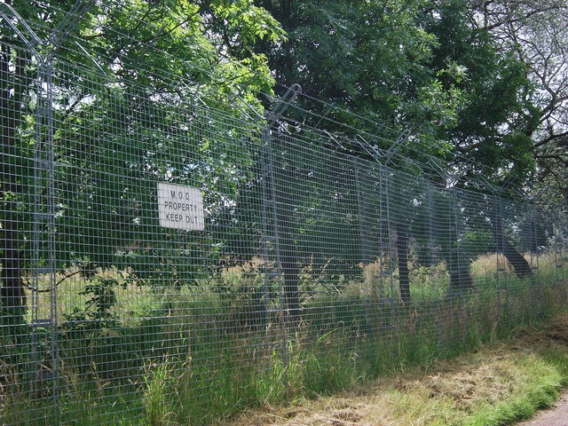
RAF Bramcote

Royal Air Force Bramcote, or more simply RAF Bramcote, is a former Royal Air Force station located 3.5 miles (5.6 km) south-east of Nuneaton, Warwickshire...

Gamecock Barracks

Gamecock Barracks is a British Army installation located at Bramcote, 3.5 miles (5.6 km) south-east of Nuneaton in Warwickshire. == History == The barracks...

Bulkington railway station

Bulkington was a railway station on the Trent Valley Line serving the village of Bulkington, Warwickshire, England. The station was opened along with the...

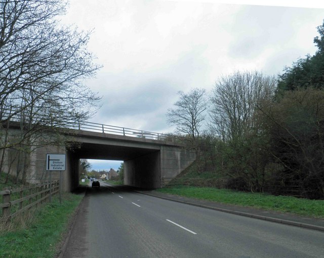
Shilton, Warwickshire

Shilton is a village in the civil parish of Shilton and Barnacle in the English county of Warwickshire. The village is about 5.5 miles (8.9 km) northeast...

Barnacle, Warwickshire

Barnacle is a hamlet in the county of Warwickshire, England, in the civil parish of Shilton and Barnacle. Historically it was divided between the parishes...

Shilton railway station

Shilton railway station was a railway station serving Shilton in the English county of Warwickshire, on the Trent Valley Line of the LNWR.It was situated...

Nearby Amenities

Located within 500m of 52.479467,-1.4124691
Mini Roundabout
Direction: clockwise
Lat/Long: 52.4758282/-1.4163343
Turning Circle
Source: bing
Lat/Long: 52.476534/-1.4136867
Post Box
Collection Times: Mo-Fr 09:00; Sa 07:00
Operator: Royal Mail
Operator Wikidata: Q638098
Post Box Type: pillar
Ref: CV12 574D
Royal Cypher: EIIR
Royal Cypher Wikidata: Q33102113
Source: survey
Lat/Long: 52.4769825/-1.4153161
Generator Method: photovoltaic
Generator Output Electricity: yes
Generator Source: solar
Generator Type: solar_photovoltaic_panel
Location: roof
Power: generator
Lat/Long: 52.475224/-1.4147808
Generator Method: photovoltaic
Generator Output Electricity: yes
Generator Source: solar
Generator Type: solar_photovoltaic_panel
Power: generator
Lat/Long: 52.4785934/-1.4142604
The data included in this document is from www.openstreetmap.org. The data is made available under ODbL.

Have you been to Bramcote Mains?

Leave your review of Bramcote Mains below (or comments, questions and feedback).