Bramcote Hills

Settlement in Nottinghamshire Broxtowe

England

Bramcote Hills

Wroxham Drive near twitchell over Tottle Brook
Wroxham Drive near twitchell over Tottle Brook Credit: SK53

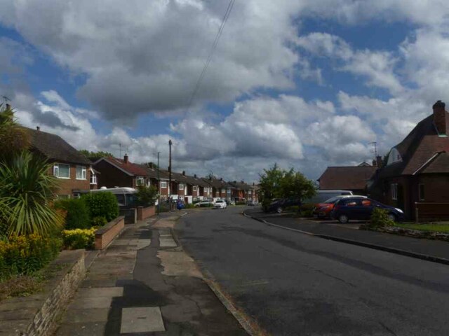
Bramcote Hills is a suburban area located in the Broxtowe borough of Nottinghamshire, England. Situated approximately 5 miles west of Nottingham city centre, it offers a mix of residential and green spaces, making it an attractive place to live.

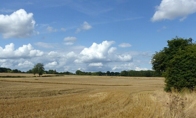
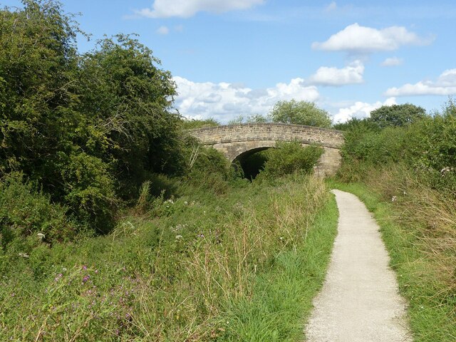
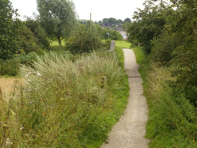
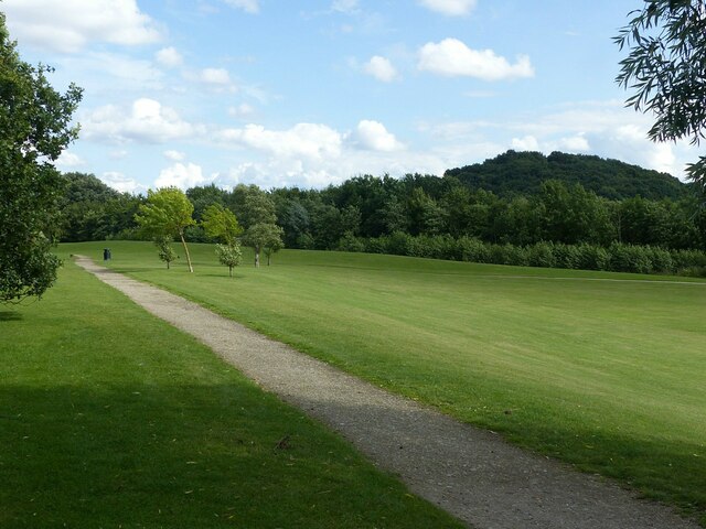
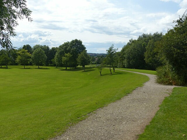
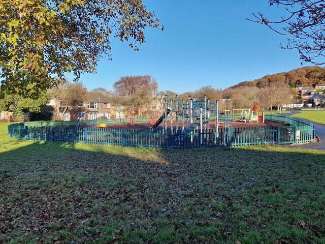
The area is characterized by its hilly terrain, offering stunning views of the surrounding countryside. Bramcote Hills Park is a popular attraction, featuring large open spaces, woodland areas, and a children's playground. The park is ideal for leisurely walks, picnics, and outdoor activities, attracting both locals and visitors.

Bramcote Hills is well-connected by road and public transport. The A52 road runs through the area, providing easy access to nearby towns and cities. Nottingham's tram system also serves the area, with several stops in close proximity.

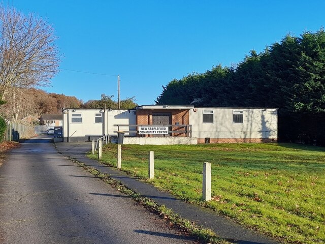
In terms of amenities, Bramcote Hills offers a range of facilities for residents. There are several primary and secondary schools in the area, ensuring access to quality education. A variety of shops, including supermarkets and local stores, cater to everyday needs. Additionally, there are sports clubs, community centers, and health services available to support a vibrant and active community.

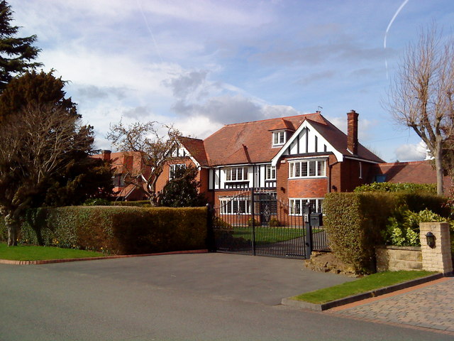
The area is known for its peaceful and family-friendly atmosphere. It is a sought-after location for families and professionals looking for a suburban lifestyle within easy reach of Nottingham's amenities and employment opportunities. With its natural beauty, convenient location, and community spirit, Bramcote Hills offers a desirable place to call home.

If you have any feedback on the listing, please let us know in the comments section below.

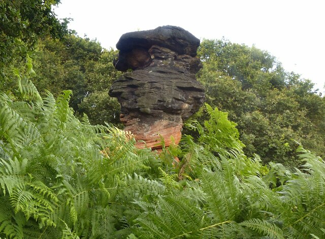
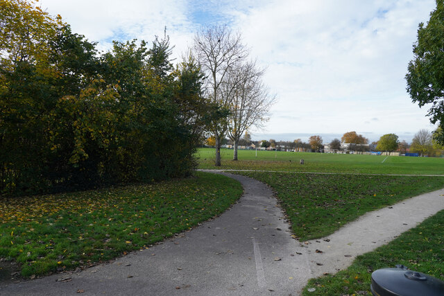
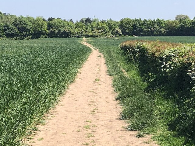
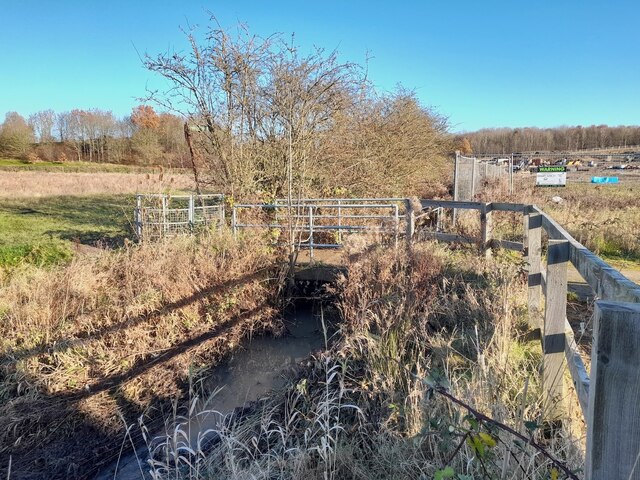
Bramcote Hills Images

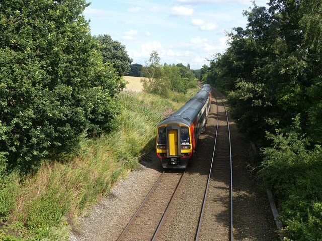
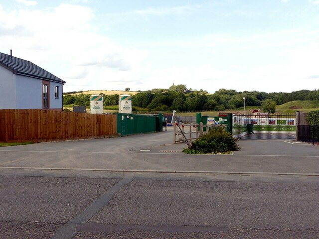
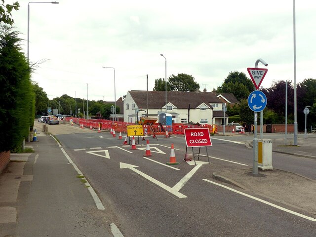
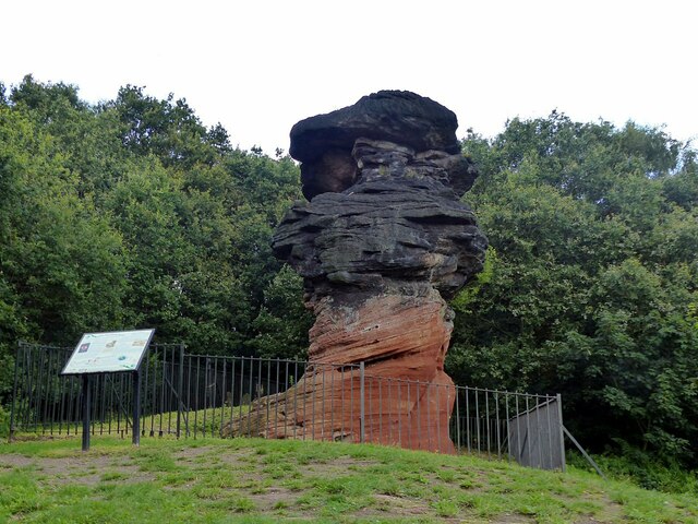
Images are sourced within 2km of 52.939199/-1.241091 or Grid Reference SK5138. Thanks to Geograph Open Source API. All images are credited.

Wroxham Drive near twitchell over Tottle Brook
Partly harvested field Near the former Swancar Farm.
Partly harvested field
Near the former Swancar Farm.
Swancar Bridge over the Nottingham Canal -1 An original bridge from the creation of the Nottingham Canal, c.1795, Listed Grade II. Originally providing field access, it is now bypassed by a track through the former canal bed alongside.
Swancar Bridge over the Nottingham Canal -1
An original bridge from the creation of the Nottingham Canal, c.1795, Listed Grade II. Originally providing field access, it is now bypassed by a track through the former canal bed alongside.
Swancar Bridge over the Nottingham Canal -2 An original bridge from the creation of the Nottingham Canal, c.1795, Listed Grade II. Originally providing field access, it is now bypassed by a track through the former canal bed alongside. The former canal towpath has been developed as part of the Erewash Valley Trail and also National Cycle Route 6.
Swancar Bridge over the Nottingham Canal -2
An original bridge from the creation of the Nottingham Canal, c.1795, Listed Grade II. Originally providing field access, it is now bypassed by a track through the former canal bed alongside. The former canal towpath has been developed as part of the Erewash Valley Trail and also National Cycle Route 6.
Swancar Bridge over the Nottingham Canal -3 An original bridge from the creation of the Nottingham Canal, c.1795, Listed Grade II. Originally providing field access, it is now bypassed by a track through the former canal bed alongside. The former canal towpath has been developed as part of the Erewash Valley Trail and also National Cycle Route 6.
Swancar Bridge over the Nottingham Canal -3
An original bridge from the creation of the Nottingham Canal, c.1795, Listed Grade II. Originally providing field access, it is now bypassed by a track through the former canal bed alongside. The former canal towpath has been developed as part of the Erewash Valley Trail and also National Cycle Route 6.
Footpath over the railway near Trowell Originally an agricultural accommodation bridge. The path is now part of the Robin Hood Way and Erewash Valley Trail long distance footpaths.
Footpath over the railway near Trowell
Originally an agricultural accommodation bridge. The path is now part of the Robin Hood Way and Erewash Valley Trail long distance footpaths.
Pit Lane Recreation Area Redevelopment of the former Trowell Moor Colliery area as open space.
Pit Lane Recreation Area
Redevelopment of the former Trowell Moor Colliery area as open space.
Pit Lane Recreation Area Redevelopment of the former Trowell Moor Colliery area as open space. The path forms part of the Robin Hood Way long distance path.
Pit Lane Recreation Area
Redevelopment of the former Trowell Moor Colliery area as open space. The path forms part of the Robin Hood Way long distance path.
Train to Nottingham and Norwich Looking east from the footbridge near Pit Lane. The train consists of two Class 158 units, 158 806 and 158 864. Now operated by East Midland Railway, the units are still in the old Stagecoach Group livery of East Midlands Trains.
Train to Nottingham and Norwich
Looking east from the footbridge near Pit Lane. The train consists of two Class 158 units, 158 806 and 158 864. Now operated by East Midland Railway, the units are still in the old Stagecoach Group livery of East Midlands Trains.
Field Farm housing development, Stapleford The farm occupied the area beyond the lighting column.
Field Farm housing development, Stapleford
The farm occupied the area beyond the lighting column.
Ilkeston Road closure, Stapleford A significant closure with substantial diversions while Severn Trent make 'new connections'. The closure notices do not state whether this is for water supply or sewerage.
Ilkeston Road closure, Stapleford
A significant closure with substantial diversions while Severn Trent make 'new connections'. The closure notices do not state whether this is for water supply or sewerage.
The Hemlock Stone Almost recreating this 'First' for the square <a title="https://www.geograph.org.uk/photo/17658" href="https://www.geograph.org.uk/photo/17658">Link</a> . The position of the notice board relative to the rock shows that this is not taken from exactly the same position. This view <a title="https://www.geograph.org.uk/photo/6928773" href="https://www.geograph.org.uk/photo/6928773">Link</a> shows the result of doing so.

This outcrop is what is known as an inselberg, the result of differential erosion. The waisted form is the result of the upper layers being a slightly harder material which has weathered less. Both layers form part of the Nottingham Castle Sandstone group, but are of slightly different ages.
The Hemlock Stone
Almost recreating this 'First' for the square Link . The position of the notice board relative to the rock shows that this is not taken from exactly the same position. This view Link shows the result of doing so. This outcrop is what is known as an inselberg, the result of differential erosion. The waisted form is the result of the upper layers being a slightly harder material which has weathered less. Both layers form part of the Nottingham Castle Sandstone group, but are of slightly different ages.
The Hemlock Stone Recreating this 'First' for the square <a title="https://www.geograph.org.uk/photo/17658" href="https://www.geograph.org.uk/photo/17658">Link</a> . The original photographer clearly had the camera at a low level to get the top of the stone against the sky. The growth of the trees behind means that very little of the stone now projects above the tree line. For a view of the whole stone from nearly the same point, see <a title="https://www.geograph.org.uk/photo/6928764" href="https://www.geograph.org.uk/photo/6928764">Link</a>
The Hemlock Stone
Recreating this 'First' for the square Link . The original photographer clearly had the camera at a low level to get the top of the stone against the sky. The growth of the trees behind means that very little of the stone now projects above the tree line. For a view of the whole stone from nearly the same point, see Link
Playing fields The playing fields are part of the Ilkeston Road Recreation Grounds.
Playing fields
The playing fields are part of the Ilkeston Road Recreation Grounds.
Walking the ancient Ridgeway from Stapleford This path takes you from Stapleford Cemetery to Baulk Lane (Baulk = Boundary,  between Bramcote and Stapleford).
Walking the ancient Ridgeway from Stapleford
This path takes you from Stapleford Cemetery to Baulk Lane (Baulk = Boundary, between Bramcote and Stapleford).
Footbridge over Boundary Brook Boundary Brook is a civil parish boundary and the boundary of a new housing estate.
Footbridge over Boundary Brook
Boundary Brook is a civil parish boundary and the boundary of a new housing estate.
Children's play area in Ilkeston Road Recreation Ground
The New Stapleford Community Centre Hosting, amongst other things, dancing nights, short mat bowls and karate.
The New Stapleford Community Centre
Hosting, amongst other things, dancing nights, short mat bowls and karate.
Show me another place!

Bramcote Hills is located at Grid Ref: SK5138 (Lat: 52.939199, Lng: -1.241091)

Administrative County: Nottinghamshire

District: Broxtowe

Police Authority: Nottinghamshire

What 3 Words

///activism.privately.priced. Near Basford, Nottinghamshire

Related Wikis

Bramcote Hills

Bramcote Hills forms the northern area of the village and Nottingham suburb of Bramcote, Nottinghamshire, built in the 1950s. It is separated from the...

The White Hills Park Federation Trust

The White Hills Park Trust, is a collective group of academies in Nottinghamshire, England. The name is derived from the three schools originally within...

Alderman White School

Alderman White School is a mixed, 11-18 secondary school in Bramcote, Nottinghamshire. The school is a member of The White Hills Park Federation Trust...

Bramcote Hills Sport and Community College

Bramcote Hills Sports and Community College was a mixed state school in Nottinghamshire. It taught children from 11 to 18 (Years 7-13). It is located in...

Church of St Michael and All Angels, Bramcote

The Church of St Michael and All Angels, Bramcote is an Anglican parish church in Bramcote, Broxtowe, Nottinghamshire, England. == History and description... ==

Bramcote

Bramcote (, locally ) is a suburban village and former civil parish in the Broxtowe district of Nottinghamshire, England, between Stapleford and Beeston...

Bramcote College

Bramcote College is a co-educational secondary school located in Bramcote, Nottinghamshire, England. It is a member of The White Hills Park Federation...

Beeston Fields Drive

Beeston Fields Drive is a street in Beeston, Nottinghamshire, England. It runs from its junction with Wollaton Road, Beeston, to Cow Lane, Bramcote....

Nearby Amenities

Located within 500m of 52.939199,-1.241091
Traffic Signals
Lat/Long: 52.9381236/-1.2409372
Bramcote Hills
Place: suburb
Wikidata: Q15204152
Wikipedia: en:Bramcote Hills
Lat/Long: 52.9407689/-1.2408153
Traffic Signals
Lat/Long: 52.9380045/-1.2409109
Turning Circle
Source: yahoo
Lat/Long: 52.9406412/-1.2373694
Turning Circle
Lat/Long: 52.9420338/-1.2424295
Traffic Signals
Button Operated: yes
Crossing: traffic_signals
Crossing Ref: pelican
Tactile Paving: yes
Traffic Signals Sound: yes
Traffic Signals Vibration: yes
Lat/Long: 52.9413973/-1.2397761
Post Box
Brand: Royal Mail
Brand Wikidata: Q638098
Brand Wikipedia: en:Royal Mail
Collection Times: Mo-Fr 09:00; Sa 07:00
Operator: Royal Mail
Operator Wikidata: Q638098
Post Box Design: type_b
Post Box Type: pillar
Ref: NG9 604D
Royal Cypher: GVIR
Royal Cypher Wikidata: Q33102169
Source: survey
Lat/Long: 52.9377203/-1.2371032
Source: survey
Traffic Signals: pedestrian_crossing
Lat/Long: 52.9378271/-1.2370011
Source: survey
Traffic Signals: pedestrian_crossing
Lat/Long: 52.9379526/-1.2371333
Bus Stop
Leisure Centre
Bench: yes
Bin: yes
Bus: yes
Lit: no
Naptan AtcoCode: 3300BR0054
Naptan Bearing: SW
Naptan CommonName: Leisure Centre
Naptan Crossing: Church Street
Naptan Indicator: opp
Naptan Landmark: Leisure Centre
Naptan NaptanCode: ntsadadw
Naptan Notes: none
Naptan PlusbusZoneRef: NTNG
Naptan Street: Derby Road
Naptan Verified: yes
Public Transport: platform
Shelter: yes
Source: naptan_import
Tactile Paving: no
Waste Basket: yes
Lat/Long: 52.9371952/-1.2456968
Bus Stop
Cow Lane
Bench: no
Bus: yes
Naptan AtcoCode: 3300BR0083
Naptan Bearing: NW
Naptan CommonName: Cow Lane
Naptan Crossing: Cow Lane
Naptan Indicator: adj
Naptan NaptanCode: ntsadadp
Naptan Notes: none
Naptan PlusbusZoneRef: NTNG
Naptan Street: Derby Road
Naptan Verified: no
Note: Also: Bargain Bus
Public Transport: platform
Shelter: no
Source: naptan_import
Tactile Paving: no
Lat/Long: 52.9378265/-1.2376159
Bus Stop
Leisure Centre
Bench: yes
Bin: yes
Bus: yes
Lit: no
Naptan AtcoCode: 3300BR0086
Naptan Bearing: NE
Naptan CommonName: Leisure Centre
Naptan Crossing: Moor Lane
Naptan Indicator: adj
Naptan Landmark: Leisure Centre
Naptan NaptanCode: ntsadama
Naptan Notes: none
Naptan PlusbusZoneRef: NTNG
Naptan Street: Derby Road
Naptan Verified: yes
Public Transport: platform
Shelter: yes
Source: naptan_import
Tactile Paving: no
Waste Basket: yes
Lat/Long: 52.9374571/-1.2456799
Bus Stop
Sandringham Drive
Bench: no
Bin: no
Bus: yes
Lit: no
Naptan AtcoCode: 3300BR0087
Naptan Bearing: N
Naptan CommonName: Sandringham Drive
Naptan Crossing: Sandringham Drive
Naptan Indicator: opp
Naptan NaptanCode: ntsawmam
Naptan Notes: (This stop renumbered to 3300BN67) -BW--3300BR0499
Naptan PlusbusZoneRef: NTNG
Naptan Street: Thoresby Road
Naptan Verified: no
Note: Both ways
Public Transport: platform
Shelter: no
Source: naptan_import
Tactile Paving: no
Lat/Long: 52.9399284/-1.2401533
Bus Stop
Burnside Drive
Bench: no
Bin: no
Bus: yes
Lit: no
Naptan AtcoCode: 3300BR0088
Naptan Bearing: SW
Naptan CommonName: Burnside Drive
Naptan Crossing: Burnside Drive
Naptan Indicator: adj
Naptan NaptanCode: ntsawmap
Naptan Notes: none (This stop renumbered to 3300BN60)
Naptan PlusbusZoneRef: NTNG
Naptan Street: Thoresby Road
Naptan Verified: yes
Public Transport: platform
Shelter: no
Source: naptan_import
Tactile Paving: no
Lat/Long: 52.9420071/-1.2390752
Bus Stop
Burnside Drive
Bench: no
Bin: no
Bus: yes
Lit: no
Naptan AtcoCode: 3300BR0089
Naptan Bearing: NE
Naptan CommonName: Burnside Drive
Naptan Crossing: Burnside Drive
Naptan Indicator: opp
Naptan NaptanCode: ntsawmat
Naptan Notes: none (This stop renumbered to 3300BN68)
Naptan PlusbusZoneRef: NTNG
Naptan Street: Thoresby Road
Naptan Verified: yes
Public Transport: platform
Shelter: no
Source: naptan_import
Tactile Paving: no
Lat/Long: 52.942451/-1.2385484
Bus Stop
Thoresby Road
Bench: no
Bin: no
Bus: yes
Lit: no
Naptan AtcoCode: 3300BR0098
Naptan Bearing: SW
Naptan CommonName: Thoresby Road
Naptan Crossing: Thoresby Road
Naptan Indicator: opp
Naptan NaptanCode: ntsadadt
Naptan Notes: none
Naptan PlusbusZoneRef: NTNG
Naptan Street: Derby Road
Naptan Verified: no
Note: Also: Bargain Bus
Public Transport: platform
Shelter: yes
Source: naptan_import
Tactile Paving: no
Lat/Long: 52.9378444/-1.2418117
Bus Stop
Cow Lane
Bench: no
Bus: yes
Naptan AtcoCode: 3300BR0099
Naptan Bearing: SE
Naptan CommonName: Cow Lane
Naptan Crossing: Cow Lane
Naptan Indicator: opp
Naptan NaptanCode: ntsawmga
Naptan Notes: none (This stop renumbered to 3300BN61)
Naptan PlusbusZoneRef: NTNG
Naptan Street: A52 Derby Road
Naptan Verified: yes
Public Transport: platform
Shelter: yes
Source: naptan_import
Tactile Paving: no
Lat/Long: 52.9381361/-1.2382354
Sandringham Drive
Naptan AtcoCode: 3300BR0499
Naptan Bearing: S
Naptan BusStopType: CUS
Naptan CommonName: Sandringham Drive
Naptan Crossing: Sandringham Drive
Naptan Indicator: adj
Naptan NaptanCode: ntsgjtad
Naptan Notes: CUS--3300BR0087
Naptan PlusbusZoneRef: NTNG
Naptan Street: Thoresby Road
Naptan Verified: no
Source: naptan_import
Lat/Long: 52.9398735/-1.2400054
Post Box
Brand: Royal Mail
Brand Wikidata: Q638098
Brand Wikipedia: en:Royal Mail
Collection Times: Mo-Fr 16:45; Sa 11:30
Operator: Royal Mail
Operator Wikidata: Q638098
Post Box Type: pillar
Ref: NG9 663
Royal Cypher: EIIR
Royal Cypher Wikidata: Q33102113
Source: survey
Lat/Long: 52.9409572/-1.2417926
Traffic Signals
Crossing: traffic_signals
Crossing Ref: pelican
Tactile Paving: yes
Lat/Long: 52.9375388/-1.2446271
Post Box
Brand: Royal Mail
Brand Wikidata: Q638098
Brand Wikipedia: en:Royal Mail
Collection Times: Mo-Fr 09:00; Sa 07:00
Operator: Royal Mail
Operator Wikidata: Q638098
Post Box Design: type_b
Post Box Type: pillar
Ref: NG9 660D
Royal Cypher: EIIR
Royal Cypher Wikidata: Q33102113
Source: survey
Lat/Long: 52.9364073/-1.2468349
Post Box
Brand: Royal Mail
Brand Wikidata: Q638098
Brand Wikipedia: en:Royal Mail
Collection Times: Mo-Fr 09:00; Sa 07:00
Operator: Royal Mail
Operator Wikidata: Q638098
Post Box Design: type_b
Post Box Manufacturer: Lion Foundry Co Ltd, Kirkintilloch
Post Box Type: pillar
Ref: NG9 637D
Royal Cypher: GVIR
Royal Cypher Wikidata: Q33102169
Source: survey
Lat/Long: 52.9379886/-1.2444769
Traffic Signals
Crossing: traffic_signals
Crossing Ref: pelican
Tactile Paving: yes
Lat/Long: 52.9376354/-1.2447833
Post Box
Brand: Royal Mail
Brand Wikidata: Q638098
Brand Wikipedia: en:Royal Mail
Collection Times: Mo-Fr 17:30; Sa 11:45
Operator: Royal Mail
Operator Wikidata: Q638098
Post Box Type: pillar
Ref: NG9 659
Royal Cypher: EIIR
Royal Cypher Wikidata: Q33102113
Source: survey
Lat/Long: 52.9391405/-1.2384354
Post Box
Brand: Royal Mail
Brand Wikidata: Q638098
Brand Wikipedia: en:Royal Mail
Collection Times: Mo-Fr 09:00; Sa 07:00
Operator: Royal Mail
Operator Wikidata: Q638098
Post Box Type: pillar
Ref: NG9 651D
Royal Cypher: EIIR
Royal Cypher Wikidata: Q33102113
Source: survey
Lat/Long: 52.9413839/-1.2359583
Barrier: cycle_barrier
Lat/Long: 52.9378337/-1.2444622
Traffic Calming: bump
Lat/Long: 52.9373302/-1.2477109
Power: substation
Lat/Long: 52.941957/-1.2463326
Note: 30 mph speed limit sign N-bound
Lat/Long: 52.9381729/-1.2409469
Entrance: main
Lat/Long: 52.9373853/-1.2479064
Addr City: Nottingham
Addr Housenumber: 1
Addr Postcode: NG9 3NG
Addr Street: Holyrood Court
Addr Suburb: Bramcote
Building: detached
Entrance: home
Lat/Long: 52.9392933/-1.2393996
Addr City: Nottingham
Addr Housenumber: 10
Addr Postcode: NG9 3NG
Addr Street: Holyrood Court
Addr Suburb: Bramcote
Building: detached
Entrance: home
Lat/Long: 52.9392979/-1.2389245
Addr City: Nottingham
Addr Housenumber: 11
Addr Postcode: NG9 3NG
Addr Street: Holyrood Court
Addr Suburb: Bramcote
Building: detached
Entrance: home
Lat/Long: 52.9392359/-1.2387395
Addr City: Nottingham
Addr Housenumber: 12
Addr Postcode: NG9 3NG
Addr Street: Holyrood Court
Addr Suburb: Bramcote
Building: detached
Entrance: home
Lat/Long: 52.9392868/-1.2387196
Addr City: Nottingham
Addr Housenumber: 2
Addr Postcode: NG9 3NG
Addr Street: Holyrood Court
Addr Suburb: Bramcote
Building: detached
Entrance: home
Lat/Long: 52.9393346/-1.2393603
Addr City: Nottingham
Addr Housenumber: 3
Addr Postcode: NG9 3NG
Addr Street: Holyrood Court
Addr Suburb: Bramcote
Building: detached
Entrance: home
Lat/Long: 52.9392891/-1.239188
Addr City: Nottingham
Addr Housenumber: 4
Addr Postcode: NG9 3NG
Addr Street: Holyrood Court
Addr Suburb: Bramcote
Building: detached
Entrance: home
Lat/Long: 52.9393212/-1.2391814
Addr City: Nottingham
Addr Housenumber: 5
Addr Postcode: NG9 3NG
Addr Street: Holyrood Court
Addr Suburb: Bramcote
Building: detached
Entrance: home
Lat/Long: 52.9392879/-1.2391761
Addr City: Nottingham
Addr Housenumber: 6
Addr Postcode: NG9 3NG
Addr Street: Holyrood Court
Addr Suburb: Bramcote
Building: detached
Entrance: home
Lat/Long: 52.939318/-1.2391426
Addr City: Nottingham
Addr Housenumber: 7
Addr Postcode: NG9 3NG
Addr Street: Holyrood Court
Addr Suburb: Bramcote
Building: detached
Entrance: home
Lat/Long: 52.9392705/-1.2389687
Addr City: Nottingham
Addr Housenumber: 8
Addr Postcode: NG9 3NG
Addr Street: Holyrood Court
Addr Suburb: Bramcote
Building: detached
Entrance: home
Lat/Long: 52.9393016/-1.2389622
Addr City: Nottingham
Addr Housenumber: 9
Addr Postcode: NG9 3NG
Addr Street: Holyrood Court
Addr Suburb: Bramcote
Building: detached
Entrance: home
Lat/Long: 52.9392698/-1.2389578
Addr City: Nottingham
Addr Housenumber: 1
Addr Postcode: NG9 3BQ
Addr Street: Close Quarters
Addr Suburb: Bramcote
Entrance: yes
Source Addr Postcode: OS OpenData Codepoint
Lat/Long: 52.9366681/-1.2388627
Addr City: Nottingham
Addr Housenumber: 10
Addr Postcode: NG9 3BQ
Addr Street: Close Quarters
Addr Suburb: Bramcote
Entrance: yes
Source Addr Postcode: OS OpenData Codepoint
Lat/Long: 52.9368939/-1.2391771
Addr City: Nottingham
Addr Housenumber: 11
Addr Postcode: NG9 3BQ
Addr Street: Close Quarters
Addr Suburb: Bramcote
Entrance: yes
Source Addr Postcode: OS OpenData Codepoint
Lat/Long: 52.9369366/-1.2393592
Addr City: Nottingham
Addr Housenumber: 12
Addr Postcode: NG9 3BQ
Addr Street: Close Quarters
Addr Suburb: Bramcote
Entrance: yes
Source Addr Postcode: OS OpenData Codepoint
Lat/Long: 52.9368917/-1.2393721
Addr City: Nottingham
Addr Housenumber: 13
Addr Postcode: NG9 3BQ
Addr Street: Close Quarters
Addr Suburb: Bramcote
Entrance: yes
Source Addr Postcode: OS OpenData Codepoint
Lat/Long: 52.9370085/-1.2393278
Addr City: Nottingham
Addr Housenumber: 14
Addr Postcode: NG9 3BQ
Addr Street: Close Quarters
Addr Suburb: Bramcote
Entrance: yes
Source Addr Postcode: OS OpenData Codepoint
Lat/Long: 52.9369698/-1.2393687
Addr City: Nottingham
Addr Housenumber: 15
Addr Postcode: NG9 3BQ
Addr Street: Close Quarters
Addr Suburb: Bramcote
Entrance: yes
Source Addr Postcode: OS OpenData Codepoint
Lat/Long: 52.937051/-1.2395102
Addr City: Nottingham
Addr Housenumber: 16
Addr Postcode: NG9 3BQ
Addr Street: Close Quarters
Addr Suburb: Bramcote
Entrance: yes
Source Addr Postcode: OS OpenData Codepoint
Lat/Long: 52.9370058/-1.2395236
Addr City: Nottingham
Addr Housenumber: 2
Addr Postcode: NG9 3BQ
Addr Street: Close Quarters
Addr Suburb: Bramcote
Entrance: yes
Source Addr Postcode: OS OpenData Codepoint
Lat/Long: 52.9366286/-1.2389052
Addr City: Nottingham
Addr Housenumber: 3
Addr Postcode: NG9 3BQ
Addr Street: Close Quarters
Addr Suburb: Bramcote
Entrance: yes
Source Addr Postcode: OS OpenData Codepoint
Lat/Long: 52.9366638/-1.2390601
Addr City: Nottingham
Addr Housenumber: 4
Addr Postcode: NG9 3BQ
Addr Street: Close Quarters
Addr Suburb: Bramcote
Entrance: yes
Source Addr Postcode: OS OpenData Codepoint
Lat/Long: 52.9367101/-1.2390443
Addr City: Nottingham
Addr Housenumber: 5
Addr Postcode: NG9 3BQ
Addr Street: Close Quarters
Addr Suburb: Bramcote
Entrance: yes
Source Addr Postcode: OS OpenData Codepoint
Lat/Long: 52.9367816/-1.239018
Addr City: Nottingham
Addr Housenumber: 6
Addr Postcode: NG9 3BQ
Addr Street: Close Quarters
Addr Suburb: Bramcote
Entrance: yes
Source Addr Postcode: OS OpenData Codepoint
Lat/Long: 52.9367421/-1.2390583
Addr City: Nottingham
Addr Housenumber: 7
Addr Postcode: NG9 3BQ
Addr Street: Close Quarters
Addr Suburb: Bramcote
Entrance: yes
Source Addr Postcode: OS OpenData Codepoint
Lat/Long: 52.9367763/-1.239209
Addr City: Nottingham
Addr Housenumber: 8
Addr Postcode: NG9 3BQ
Addr Street: Close Quarters
Addr Suburb: Bramcote
Entrance: yes
Source Addr Postcode: OS OpenData Codepoint
Lat/Long: 52.9368222/-1.2391964
Addr City: Nottingham
Addr Housenumber: 9
Addr Postcode: NG9 3BQ
Addr Street: Close Quarters
Addr Suburb: Bramcote
Entrance: yes
Source Addr Postcode: OS OpenData Codepoint
Lat/Long: 52.9368556/-1.239218
Waste Basket
Lat/Long: 52.9363909/-1.2468624
Bench
Backrest: yes
Lat/Long: 52.9365497/-1.2469134
Direction: 165
Generator Method: photovoltaic
Generator Output Electricity: small_installation
Generator Solar Modules: 11
Generator Source: solar
Generator Type: solar_photovoltaic_panel
Location: roof
Power: generator
Lat/Long: 52.9403883/-1.2442984
Bench
Backrest: yes
Colour: green
Material: metal
Seats: 3
Lat/Long: 52.9421505/-1.2360003
Generator Method: photovoltaic
Generator Output Electricity: yes
Generator Source: solar
Generator Type: solar_photovoltaic_panel
Location: roof
Power: generator
Lat/Long: 52.9403647/-1.2376007
Barrier: cycle_barrier
Cycle Barrier: double
Cycle Barrier Installation: fixed
Lat/Long: 52.9372665/-1.2474131
Traffic Calming: bump
Lat/Long: 52.9371094/-1.2410072
Grit Bin
Lat/Long: 52.9412144/-1.245807
Waste Basket
Lat/Long: 52.9413381/-1.2458593
Waste Basket
Lat/Long: 52.9423742/-1.2462965
Waste Basket
Lat/Long: 52.9391373/-1.2451082
Waste Basket
Lat/Long: 52.9381311/-1.244549
Generator Method: photovoltaic
Generator Output Electricity: yes
Generator Source: solar
Generator Type: solar_photovoltaic_panel
Location: roof
Power: generator
Lat/Long: 52.9430328/-1.2424877
Generator Method: photovoltaic
Generator Output Electricity: yes
Generator Source: solar
Generator Type: solar_photovoltaic_panel
Location: roof
Power: generator
Lat/Long: 52.9431484/-1.2446026
Direction: 255
Generator Method: photovoltaic
Generator Output Electricity: yes
Generator Solar Modules: 8
Generator Source: solar
Generator Type: solar_photovoltaic_panel
Location: roof
Power: generator
Lat/Long: 52.942573/-1.245992
Direction: 75
Generator Method: photovoltaic
Generator Output Electricity: yes
Generator Solar Modules: 8
Generator Source: solar
Generator Type: solar_photovoltaic_panel
Location: roof
Power: generator
Lat/Long: 52.9425815/-1.2459417
Generator Method: photovoltaic
Generator Output Electricity: yes
Generator Source: solar
Generator Type: solar_photovoltaic_panel
Location: roof
Power: generator
Lat/Long: 52.9427674/-1.2434633
Generator Method: photovoltaic
Generator Output Electricity: yes
Generator Source: solar
Generator Type: solar_photovoltaic_panel
Location: roof
Power: generator
Lat/Long: 52.9427174/-1.2415476
Generator Method: photovoltaic
Generator Output Electricity: yes
Generator Source: solar
Generator Type: solar_photovoltaic_panel
Location: roof
Power: generator
Lat/Long: 52.9426609/-1.2412834
Generator Method: photovoltaic
Generator Output Electricity: yes
Generator Source: solar
Generator Type: solar_photovoltaic_panel
Location: roof
Power: generator
Lat/Long: 52.9426746/-1.2411814
Generator Method: photovoltaic
Generator Output Electricity: yes
Generator Source: solar
Generator Type: solar_photovoltaic_panel
Location: roof
Power: generator
Lat/Long: 52.9426568/-1.2410567
Generator Method: photovoltaic
Generator Output Electricity: yes
Generator Source: solar
Generator Type: solar_photovoltaic_panel
Location: roof
Power: generator
Lat/Long: 52.9412142/-1.2415717
Generator Method: photovoltaic
Generator Output Electricity: yes
Generator Source: solar
Generator Type: solar_photovoltaic_panel
Location: roof
Power: generator
Lat/Long: 52.9389412/-1.2385006
Generator Method: photovoltaic
Generator Output Electricity: yes
Generator Source: solar
Generator Type: solar_photovoltaic_panel
Location: roof
Power: generator
Lat/Long: 52.9409491/-1.2454327
Generator Method: photovoltaic
Generator Output Electricity: yes
Generator Source: solar
Generator Type: solar_photovoltaic_panel
Location: roof
Power: generator
Lat/Long: 52.9418286/-1.2431287
Generator Method: photovoltaic
Generator Output Electricity: yes
Generator Source: solar
Generator Type: solar_photovoltaic_panel
Location: roof
Power: generator
Lat/Long: 52.9418157/-1.243059
Generator Method: photovoltaic
Generator Output Electricity: yes
Generator Source: solar
Generator Type: solar_photovoltaic_panel
Location: roof
Power: generator
Lat/Long: 52.9418359/-1.2422396
Direction: 170
Generator Method: photovoltaic
Generator Output Electricity: yes
Generator Solar Modules: 12
Generator Source: solar
Generator Type: solar_photovoltaic_panel
Location: roof
Power: generator
Lat/Long: 52.9380389/-1.2433815
Direction: 215
Generator Method: photovoltaic
Generator Output Electricity: yes
Generator Solar Modules: 6
Generator Source: solar
Generator Type: solar_photovoltaic_panel
Location: roof
Power: generator
Lat/Long: 52.9352122/-1.2436591
Direction: 215
Generator Method: photovoltaic
Generator Output Electricity: yes
Generator Solar Modules: 8
Generator Source: solar
Generator Type: solar_photovoltaic_panel
Location: roof
Power: generator
Lat/Long: 52.9351527/-1.2435592
Direction: 235
Generator Method: photovoltaic
Generator Output Electricity: yes
Generator Solar Modules: 16
Generator Source: solar
Generator Type: solar_photovoltaic_panel
Location: roof
Power: generator
Lat/Long: 52.9351195/-1.2418359
Direction: 255
Generator Method: photovoltaic
Generator Output Electricity: yes
Generator Solar Modules: 18
Generator Source: solar
Generator Type: solar_photovoltaic_panel
Location: roof
Power: generator
Lat/Long: 52.9361116/-1.2413531
Direction: 255
Generator Method: photovoltaic
Generator Output Electricity: yes
Generator Solar Modules: 20
Generator Source: solar
Generator Type: solar_photovoltaic_panel
Location: roof
Power: generator
Lat/Long: 52.9362386/-1.2414014
Barrier: cycle_barrier
Cycle Barrier: double
Cycle Barrier Installation: fixed
Lat/Long: 52.9351299/-1.2423878
Grit Bin
Seasonal: no
Lat/Long: 52.9375362/-1.2439308
Entrance: main
Lat/Long: 52.9363541/-1.2463698
Crossing
Crossing: traffic_signals
Tactile Paving: yes
Lat/Long: 52.938096/-1.2411561
Traffic Signals: pedestrian_crossing
Lat/Long: 52.9379588/-1.2413497
Camera Mount: pole
Camera Type: dome
Contact Webcam: http://data.nottinghamtravelwise.org.uk/images115.jpg
Man Made: surveillance
Surveillance: public
Surveillance Type: camera
Surveillance Zone: traffic
Lat/Long: 52.9380257/-1.2411126
Direction: 215
Generator Method: photovoltaic
Generator Output Electricity: yes
Generator Solar Modules: 6
Generator Source: solar
Generator Type: solar_photovoltaic_panel
Location: roof
Power: generator
Lat/Long: 52.9351934/-1.2436087
Direction: 75
Generator Method: photovoltaic
Generator Output Electricity: yes
Generator Solar Modules: 12
Generator Source: solar
Generator Type: solar_photovoltaic_panel
Location: roof
Power: generator
Lat/Long: 52.9394721/-1.2448536
Direction: 255
Generator Method: photovoltaic
Generator Output Electricity: yes
Generator Solar Modules: 12
Generator Source: solar
Generator Type: solar_photovoltaic_panel
Location: roof
Power: generator
Lat/Long: 52.9393593/-1.2449032
Direction: 255
Generator Method: photovoltaic
Generator Output Electricity: yes
Generator Solar Modules: 7
Generator Source: solar
Generator Type: solar_photovoltaic_panel
Location: roof
Power: generator
Lat/Long: 52.9404084/-1.2443447
Direction: 85
Generator Method: photovoltaic
Generator Output Electricity: yes
Generator Solar Modules: 6
Generator Source: solar
Generator Type: solar_photovoltaic_panel
Location: roof
Power: generator
Lat/Long: 52.9398544/-1.2431627
Direction: 265
Generator Method: photovoltaic
Generator Output Electricity: yes
Generator Solar Modules: 8
Generator Source: solar
Generator Type: solar_photovoltaic_panel
Location: roof
Power: generator
Lat/Long: 52.9398459/-1.243207
Direction: 165
Generator Method: photovoltaic
Generator Output Electricity: yes
Generator Solar Modules: 2
Generator Source: solar
Generator Type: solar_photovoltaic_panel
Location: roof
Power: generator
Lat/Long: 52.9384371/-1.2443318
Direction: 75
Generator Method: photovoltaic
Generator Output Electricity: yes
Generator Solar Modules: 9
Generator Source: solar
Generator Type: solar_photovoltaic_panel
Location: roof
Power: generator
Lat/Long: 52.9384718/-1.244321
Direction: 85
Generator Method: photovoltaic
Generator Output Electricity: yes
Generator Solar Modules: 6
Generator Source: solar
Generator Type: solar_photovoltaic_panel
Location: roof
Power: generator
Lat/Long: 52.9383538/-1.2442272
Barrier: kerb
Kerb: lowered
Tactile Paving: yes
Lat/Long: 52.9375898/-1.2447636
Barrier: kerb
Kerb: lowered
Tactile Paving: yes
Lat/Long: 52.9375748/-1.2446429
Barrier: kerb
Kerb: lowered
Tactile Paving: yes
Lat/Long: 52.9380556/-1.2411451
Barrier: kerb
Kerb: lowered
Tactile Paving: yes
Lat/Long: 52.937999/-1.2413615
The data included in this document is from www.openstreetmap.org. The data is made available under ODbL.

Have you been to Bramcote Hills?

Leave your review of Bramcote Hills below (or comments, questions and feedback).