Whaplode
Settlement in Lincolnshire South Holland
England
Whaplode
Whaplode is a small village located in the county of Lincolnshire, England. Situated approximately 10 miles south-east of the town of Spalding, it falls within the South Holland district. The village lies on the A151 road which connects it to nearby towns and villages.
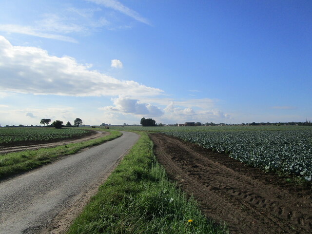
With a population of around 1,800 people, Whaplode maintains a close-knit community atmosphere. The village is surrounded by picturesque farmland, providing a tranquil and idyllic setting. It is characterized by a mix of traditional and modern houses, with some dating back to the 17th century.
Whaplode boasts several amenities to cater to the needs of its residents. These include a primary school, a village hall, a post office, a convenience store, and a pub. Additionally, there is a medical practice offering general practitioner services.
The village is known for its historic church, St. Mary's, which dates back to the 12th century. The church features beautiful stained glass windows and a striking tower, making it a prominent landmark in the area.
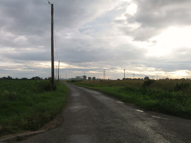
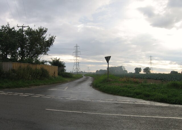
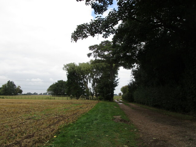
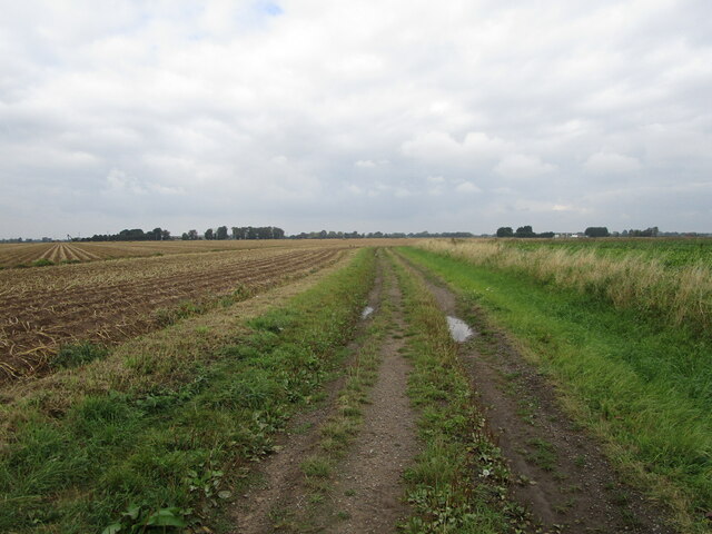
Whaplode is surrounded by natural beauty, making it a popular destination for outdoor enthusiasts. The nearby River Welland provides opportunities for fishing and boating, while the surrounding countryside offers scenic walking and cycling routes.
Overall, Whaplode offers a peaceful and charming lifestyle, with its rich history, community spirit, and beautiful surroundings, making it an appealing place to live or visit.
If you have any feedback on the listing, please let us know in the comments section below.
Whaplode Images
Images are sourced within 2km of 52.800104/-0.033505286 or Grid Reference TF3224. Thanks to Geograph Open Source API. All images are credited.


Whaplode is located at Grid Ref: TF3224 (Lat: 52.800104, Lng: -0.033505286)
Division: Parts of Holland
Administrative County: Lincolnshire
District: South Holland
Police Authority: Lincolnshire
What 3 Words
///proceeds.jaundice.keener. Near Whaplode, Lincolnshire
Nearby Locations
Related Wikis

Whaplode
Whaplode is a village and civil parish in the South Holland district of Lincolnshire, England. It is just west of the Prime Meridian. The parish includes...

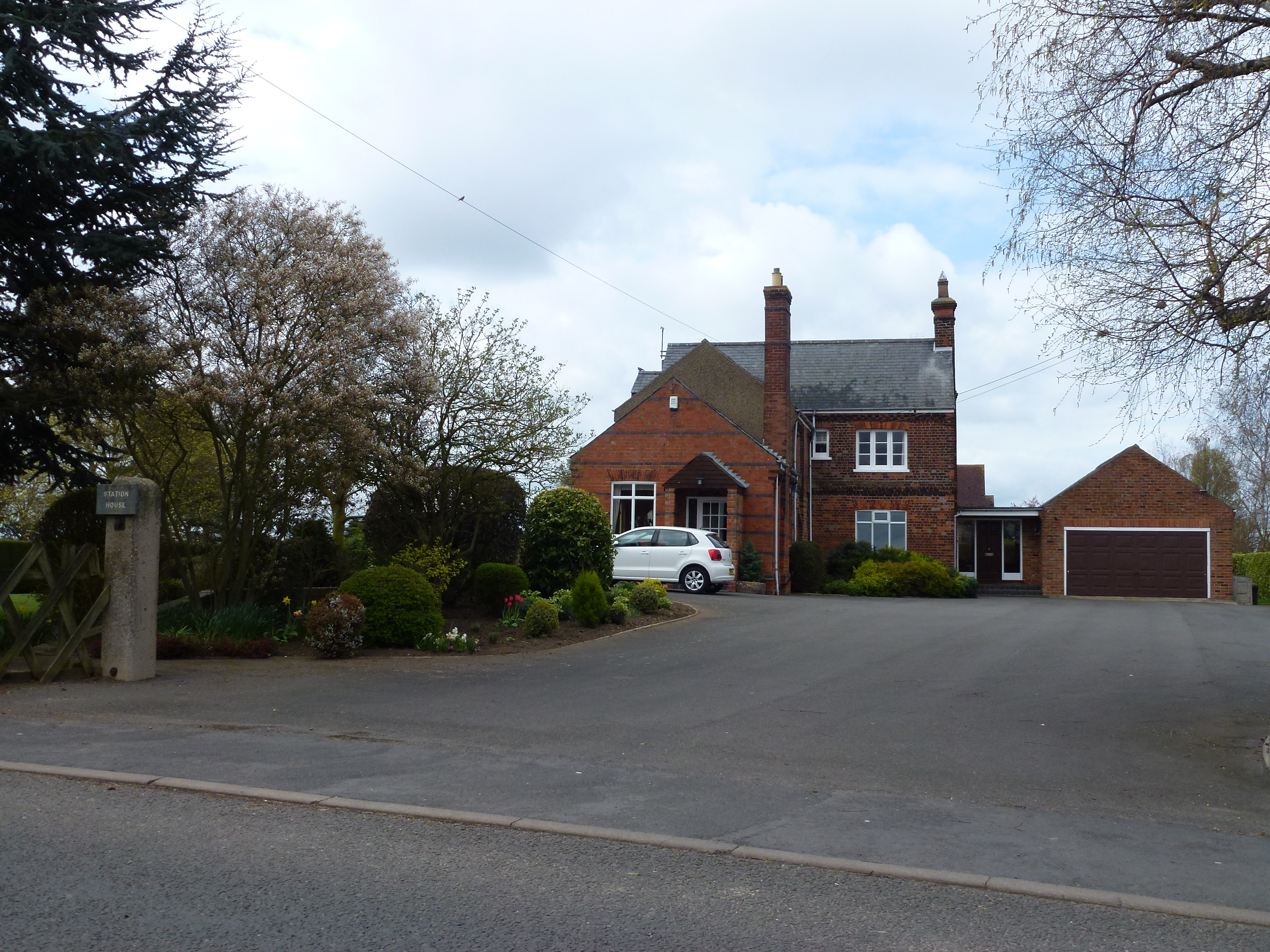
Whaplode railway station
Whaplode railway station was a station in Whaplode, Lincolnshire. Built by the Norwich and Spalding Railway, (later Midland and Great Northern Joint Railway...

Moulton, Lincolnshire
Moulton is a village in the civil parish of The Moultons, in the South Holland district of Lincolnshire, England. It is situated on the A151 and B1537...

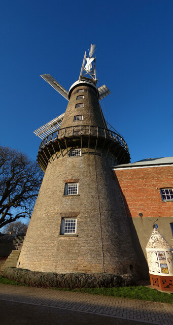
Moulton Windmill
Moulton Windmill in the Lincolnshire village of Moulton, between Spalding and Holbeach is a restored windmill claimed to be the tallest tower mill in the...
Moulton railway station (Lincolnshire)
Moulton (Lincolnshire) railway station was a station in Moulton, Lincolnshire. Built by the Norwich and Spalding Railway, (later Midland and Great Northern...

Moulton Seas End
Moulton Seas End is a village in the civil parish of The Moultons and the South Holland district of Lincolnshire, England. It is 5 miles (8 km) north...

Holbeach Clough
Holbeach Clough (today synonymous with Saracen's Head) is a fenland village in the South Holland district of Lincolnshire, England. It is just under 2...

Holbeach railway station
Holbeach railway station was a station in Holbeach, Lincolnshire. It opened on 15 November 1858 and closed on 2 March 1959. The station buildings survived...
Nearby Amenities
Located within 500m of 52.800104,-0.033505286There is a Jet garage almost opposite (E-bound)/Main Road,A151 / High Road,A151//
Have you been to Whaplode?
Leave your review of Whaplode below (or comments, questions and feedback).