Whaplode Drove

Settlement in Lincolnshire South Holland

England

Whaplode Drove

Shepeau Stow: an ivy-clad phone box The two-tone green of the ivy and the red of the telephone box provide almost the only splash of colour on a cheerless, foggy morning.
Shepeau Stow: an ivy-clad phone box Credit: Chris Downer

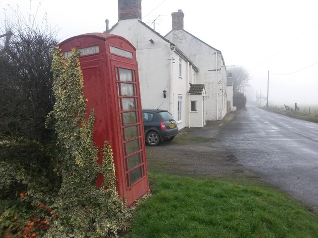
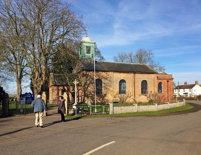
Whaplode Drove is a small rural village located in the county of Lincolnshire, England. Situated approximately 100 miles north of London, the village is part of the South Holland district. It has a population of around 1,000 people.

The village is primarily known for its picturesque countryside, with vast fields and farmland surrounding the area. It offers a peaceful and tranquil environment, making it an ideal location for those seeking a quiet and rural lifestyle.

Whaplode Drove features a mix of traditional and modern architecture, with charming cottages and modern houses interspersed throughout the village. There are also a few small businesses, including a convenience store and a local pub, providing essential amenities for the community.

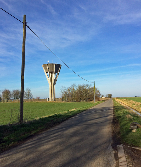
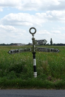
The village is well-connected by road, with easy access to the nearby towns of Spalding and Holbeach. The A16 road is situated a short distance to the west, providing links to larger cities such as Peterborough and Boston.

Whaplode Drove is surrounded by beautiful natural landscapes, making it a haven for outdoor enthusiasts. The nearby Holbeach Marshes nature reserve offers stunning views and opportunities for wildlife spotting. Additionally, the village is located close to the Lincolnshire Wolds, an Area of Outstanding Natural Beauty, which provides ample opportunities for walking, cycling, and exploring the scenic countryside.

Overall, Whaplode Drove offers a peaceful and idyllic lifestyle, with its rural charm and proximity to natural beauty spots making it an attractive place to live for those seeking a quieter pace of life.

If you have any feedback on the listing, please let us know in the comments section below.

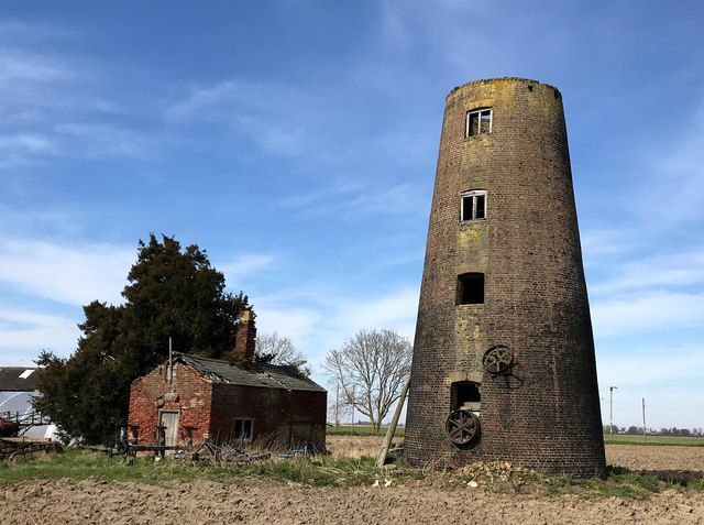
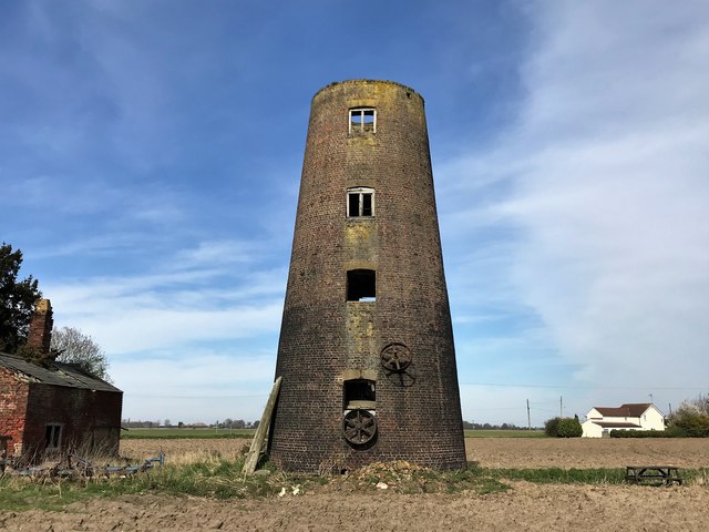
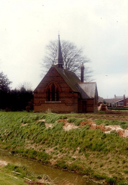
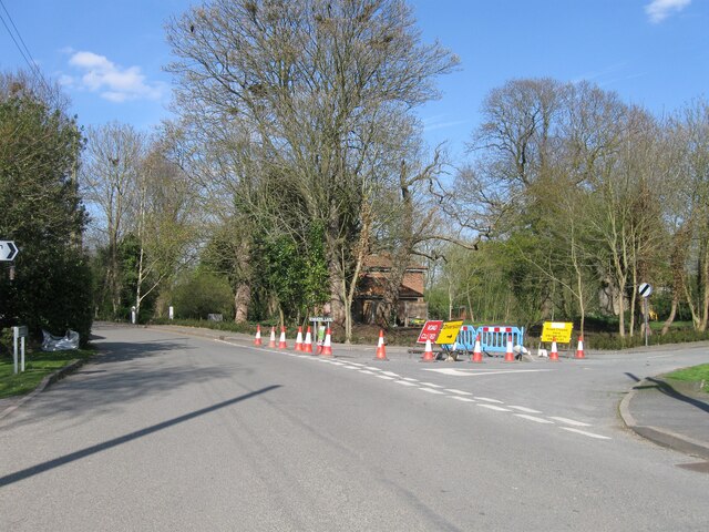
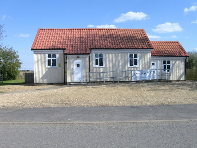
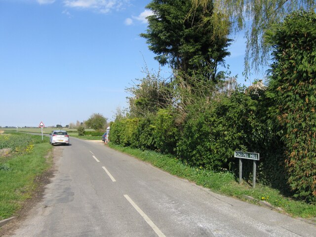
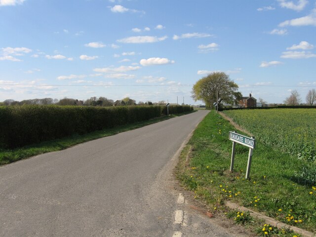
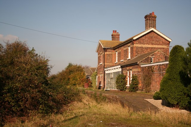
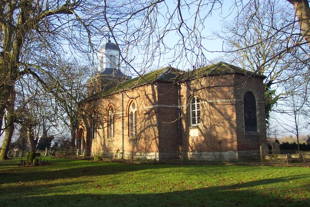
Whaplode Drove Images

Images are sourced within 2km of 52.701984/-0.048102461 or Grid Reference TF3113. Thanks to Geograph Open Source API. All images are credited.

Shepeau Stow: an ivy-clad phone box The two-tone green of the ivy and the red of the telephone box provide almost the only splash of colour on a cheerless, foggy morning.
Shepeau Stow: an ivy-clad phone box
The two-tone green of the ivy and the red of the telephone box provide almost the only splash of colour on a cheerless, foggy morning.
St John, Whaplode Drove By Jeptha Pacey and William Swansborough, 1821, and extended by Harold Bailey in 1907-08. Grade II listed.
St John, Whaplode Drove
By Jeptha Pacey and William Swansborough, 1821, and extended by Harold Bailey in 1907-08. Grade II listed.
Water tower near Whaplode Drove By Chapel Hill, the road to Whaplode. The design is of the crash-landed space-rocket variety, which probably dates it to the 1960s or 1970s.
Water tower near Whaplode Drove
By Chapel Hill, the road to Whaplode. The design is of the crash-landed space-rocket variety, which probably dates it to the 1960s or 1970s.
Crop marks on Moulton East Fen near Aswick Grange: aerial 2018 (2)
Old Direction Sign - Signpost by the B1168, Holbeach Drove Gate, Holbeach Parish Annulus finial - 3 arms; Holland CC halo by the B1168, in parish of Holbeach (South Holland District), North of Holbeach Drove Gate at junction of Barrs Lane, on verge.

Surveyed

Milestone Society National ID: LI_TF3313
Old Direction Sign - Signpost by the B1168, Holbeach Drove Gate, Holbeach Parish
Annulus finial - 3 arms; Holland CC halo by the B1168, in parish of Holbeach (South Holland District), North of Holbeach Drove Gate at junction of Barrs Lane, on verge. Surveyed Milestone Society National ID: LI_TF3313
Shepeau Stow mill in south Lincolnshire
Shepeau Stow tower mill in south Lincolnshire Lawson's Mill is a Grade II listed building which was built c1800. This 4-storey brick built tower mill was wind powered until the 1920s when it lost its 4 sails and was machine operated until closure in the 1940s.
Shepeau Stow tower mill in south Lincolnshire
Lawson's Mill is a Grade II listed building which was built c1800. This 4-storey brick built tower mill was wind powered until the 1920s when it lost its 4 sails and was machine operated until closure in the 1940s.
St. Polycarp's church, Holbeach Drove One of several churches built in new settlements in the extensive Fenland parishes at the end of the 1860s.
St. Polycarp's church, Holbeach Drove
One of several churches built in new settlements in the extensive Fenland parishes at the end of the 1860s.
Broadgate roadworks
Broadgate roadworks
St John The Baptist church room
Chapel Hill
Chapel Hill
Eaugate Road
Eaugate Road
St Polycarp's Drive
St Polycarp's Drive
Holbeach Drove Church
Broadgate
Broadgate
Whaplode Drove Post Office and Stores
Shepeau Stow Mill
Shepeau Stow Mill
Show me another place!

Whaplode Drove is located at Grid Ref: TF3113 (Lat: 52.701984, Lng: -0.048102461)

Division: Parts of Holland

Administrative County: Lincolnshire

District: South Holland

Police Authority: Lincolnshire

What 3 Words

///energetic.coping.ignore. Near Gedney Hill, Lincolnshire

Nearby Locations

Whaplode Drove

Related Wikis

Whaplode Drove

Whaplode Drove is a village in the civil parish of Whaplode , in the South Holland district of Lincolnshire, England. It is approximately 10 miles (16...

Holbeach Drove

Holbeach Drove is a village in the South Holland district of Lincolnshire, England. It is situated approximately 5 miles (8 km) east from Crowland, and...

Shepeau Stow, Lincolnshire

Shepeau Stow is a hamlet in the South Holland district of Lincolnshire, England. It is at the north-east edge of Whaplode civil parish, where it adjoins...

Postland railway station

Postland railway station was a station on the Great Northern and Great Eastern Joint Railway in Crowland, Lincolnshire, which is now closed. It took its...

Fenland Airfield

Fenland Airfield or Fenland Aerodrome (ICAO: EGCL) is located 6 nautical miles (11 km; 6.9 mi) southeast of the town Spalding near the small village of...

Gedney Hill

Gedney Hill is a village and civil parish in South Holland district of Lincolnshire, England. The population of the civil parish at the 2011 census was...

French Drove and Gedney Hill railway station

French Drove and Gedney Hill was a station on the Great Northern and Great Eastern Joint Railway near Gedney Hill in south Lincolnshire on the line between...

Sutton St Edmund

Sutton St Edmunds is a village and civil parish in the South Holland district of Lincolnshire, England, about 14 miles (23 km) south-east from the town...

Nearby Amenities

Located within 500m of 52.701984,-0.048102461
Whaplode Drove
Is In County: Lincolnshire
Is In District: South Holland
Place: village
Wikidata: Q7990634
Lat/Long: 52.7031078/-0.0495919
Bus Stop
Green Bank
Naptan AtcoCode: 270000009715
Naptan Bearing: W
Naptan CommonName: Green Bank
Naptan Indicator: W - bound
Naptan Landmark: Green Bank
Naptan NaptanCode: linjdtag
Naptan Street: Farrow Road
Naptan Verified: no
Public Transport: platform
Source: naptan_import
Lat/Long: 52.7027108/-0.0521575
Bus Stop
Parsons Lane
Naptan AtcoCode: 270000009716
Naptan Bearing: NE
Naptan CommonName: Parsons Lane
Naptan Indicator: opp
Naptan Landmark: Parsons Lane
Naptan NaptanCode: linjdtaj
Naptan Street: Broadgate
Naptan Verified: no
Public Transport: platform
Source: naptan_import
Lat/Long: 52.7018198/-0.0482748
Bus Stop
Post Office
Naptan AtcoCode: 270000009717
Naptan Bearing: SW
Naptan CommonName: Post Office
Naptan Indicator: opp
Naptan Landmark: Post Office
Naptan NaptanCode: linjdtam
Naptan Street: Broadgate
Naptan Verified: no
Source: naptan_import
Lat/Long: 52.6990319/-0.0504269
Bus Stop
Parsons Lane
Naptan AtcoCode: 2700LWDC0782
Naptan Bearing: SW
Naptan CommonName: Parsons Lane
Naptan Indicator: adj
Naptan Landmark: Parsons Lane
Naptan NaptanCode: linagjmp
Naptan Street: Broadgate
Naptan Verified: no
Public Transport: platform
Source: naptan_import
Lat/Long: 52.701862/-0.0481101
Bus Stop
Green Bank
Naptan AtcoCode: 2700LWDF4230
Naptan Bearing: E
Naptan CommonName: Green Bank
Naptan Indicator: E - bound
Naptan Landmark: Green Bank
Naptan NaptanCode: lindjmaw
Naptan Street: Farrow Road
Naptan Verified: no
Public Transport: platform
Source: naptan_import
Lat/Long: 52.7027516/-0.0519041
Bus Stop
Post Office
Naptan AtcoCode: 2700LWDP6272
Naptan Bearing: NE
Naptan CommonName: Post Office
Naptan Indicator: adj
Naptan Landmark: Post Office
Naptan NaptanCode: lingawad
Naptan Street: Broadgate
Naptan Verified: no
Source: naptan_import
Lat/Long: 52.6990536/-0.0506479
Post Box
Collection Times: Mo-Fr 17:00; Sa 11:00
Location: Outside Four Boys Village Store and Post Office./Broadgate
Operator: Royal Mail
Post Box Mounting: brick_pillar
Post Box Type: wall
Ref: PE12 131
Lat/Long: 52.699001/-0.050692
Post Box
Collection Times: Mo-Fr 17:00; Sa 11:00
Description: Just outside the sign for Whaplode Drove, on the diagonal footpath cutting across this corner.
Google Refers to Green Bank as "Back Bank"/Green Bank / Farrow Road
Fixme: Road needs to go through BS and be closer to pb
Operator: Royal Mail
Post Box Type: lamp
Ref: PE12 133
Lat/Long: 52.702946/-0.052068
Chapel Green
Place: locality
Source: Bing
Lat/Long: 52.7011671/-0.0500631
Entrance: main
Lat/Long: 52.7031202/-0.0478711
Post Office
Four Boys Village Store
Addr City: Spalding
Addr Country: GB
Addr Housenumber: 54
Addr Postcode: PE12 0TN
Addr Street: Broadgate
Addr Suburb: Whaplode Drove
Fhrs Authority: South Holland
Fhrs Id: 243062
Fhrs Local Authority Id: 5114
Ref Pol Id: 10623
Shop: convenience
Lat/Long: 52.6990756/-0.050742
The data included in this document is from www.openstreetmap.org. The data is made available under ODbL.

Have you been to Whaplode Drove?

Leave your review of Whaplode Drove below (or comments, questions and feedback).