Whaplode Fields
Downs, Moorland in Lincolnshire South Holland
England
Whaplode Fields
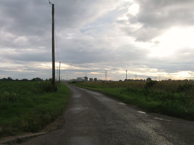
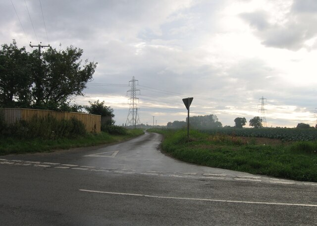
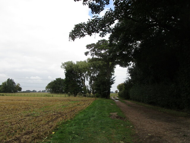
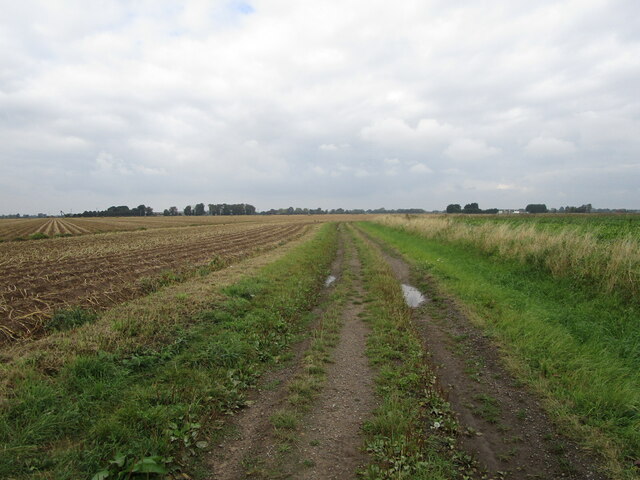
Whaplode Fields is a small village located in the county of Lincolnshire, England. Situated on the eastern side of the county, it falls within the South Holland district. The village is known for its picturesque countryside, encompassing a combination of downs and moorland landscapes.
The downs in Whaplode Fields are characterized by gently rolling hills and open grasslands. These areas provide ample space for agriculture, with farmers utilizing the fertile soil to grow crops such as wheat, barley, and potatoes. The downs also offer stunning panoramic views of the surrounding countryside, making them a popular spot for nature enthusiasts and photographers.
In contrast, the moorland areas of Whaplode Fields consist of heather-covered hills and marshy terrain. These diverse landscapes support a variety of flora and fauna, including rare bird species and wildflowers. The moorland is also home to several nature reserves, where visitors can observe and learn about the local wildlife.
The village itself is a tight-knit community, with a population of around 1,000 residents. It boasts a few local amenities, including a village hall, a primary school, and a small shop. The residents take pride in their close community spirit and often organize events and activities for the whole village to enjoy.
Whaplode Fields is well-connected to neighboring towns and cities, with good road links to Spalding and Peterborough. It offers a tranquil countryside retreat, perfect for those seeking a peaceful and idyllic setting in the heart of Lincolnshire.
If you have any feedback on the listing, please let us know in the comments section below.
Whaplode Fields Images
Images are sourced within 2km of 52.803907/-0.036241441 or Grid Reference TF3224. Thanks to Geograph Open Source API. All images are credited.


Whaplode Fields is located at Grid Ref: TF3224 (Lat: 52.803907, Lng: -0.036241441)
Administrative County: Lincolnshire
District: South Holland
Police Authority: Lincolnshire
What 3 Words
///roadways.mime.corals. Near Whaplode, Lincolnshire
Nearby Locations
Related Wikis

Whaplode
Whaplode is a village and civil parish in the South Holland district of Lincolnshire, England. It is just west of the Prime Meridian. The parish includes...

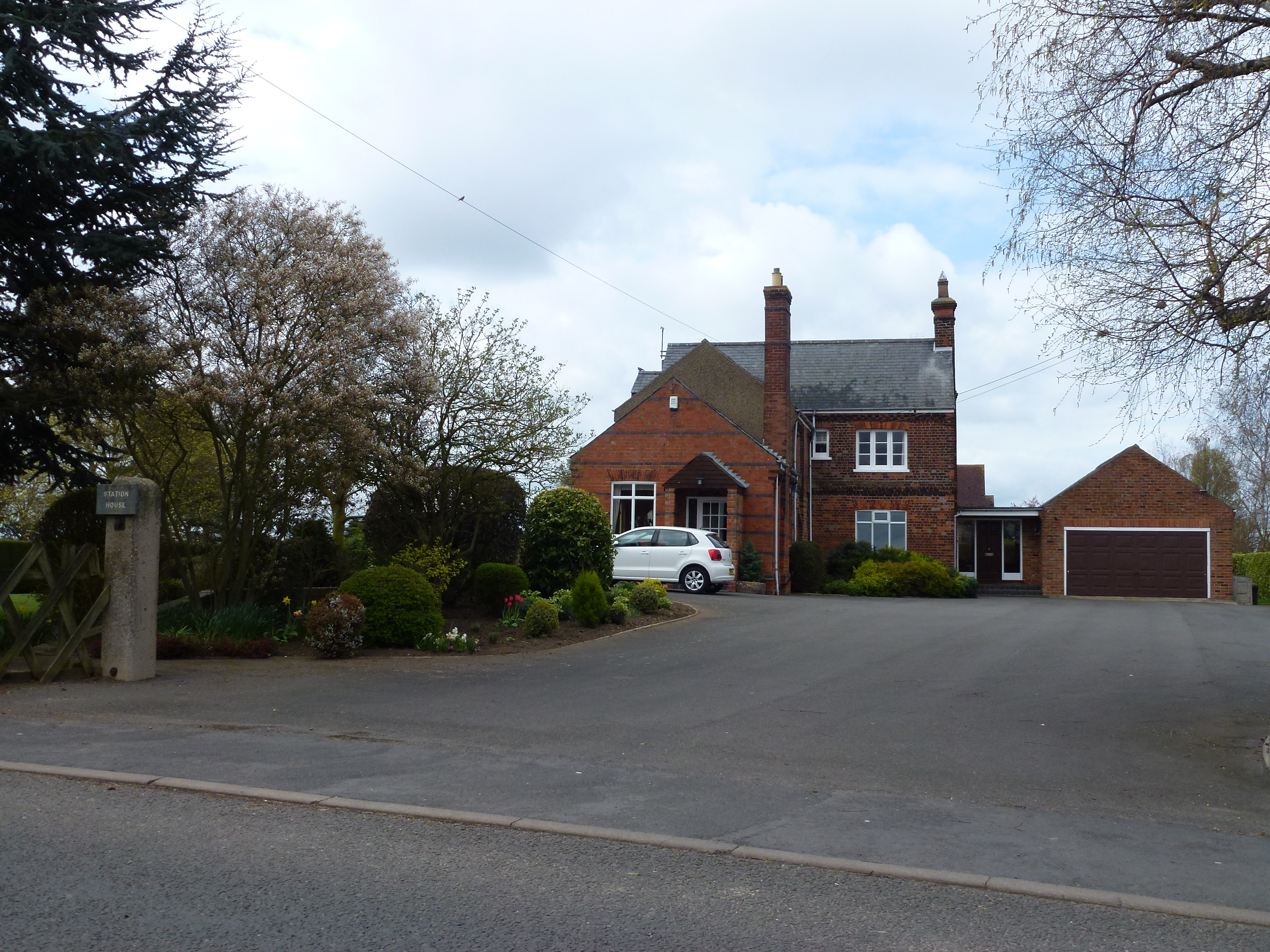
Whaplode railway station
Whaplode railway station was a station in Whaplode, Lincolnshire. Built by the Norwich and Spalding Railway, (later Midland and Great Northern Joint Railway...

Moulton, Lincolnshire
Moulton is a village in the civil parish of The Moultons, in the South Holland district of Lincolnshire, England. It is situated on the A151 and B1537...

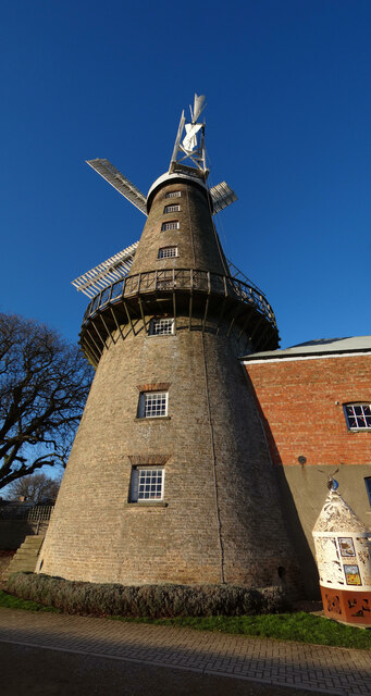
Moulton Windmill
Moulton Windmill in the Lincolnshire village of Moulton, between Spalding and Holbeach is a restored windmill claimed to be the tallest tower mill in the...
Moulton railway station (Lincolnshire)
Moulton (Lincolnshire) railway station was a station in Moulton, Lincolnshire. Built by the Norwich and Spalding Railway, (later Midland and Great Northern...

Moulton Seas End
Moulton Seas End is a village in the civil parish of The Moultons and the South Holland district of Lincolnshire, England. It is 5 miles (8 km) north...

Holbeach Clough
Holbeach Clough (today synonymous with Saracen's Head) is a fenland village in the South Holland district of Lincolnshire, England. It is just under 2...

Parts of Holland
The Parts of Holland is a historical division of Lincolnshire, England, encompassing the south-east of the county. The name is still recognised locally...
Nearby Amenities
Located within 500m of 52.803907,-0.036241441There is a Jet garage almost opposite (E-bound)/Main Road,A151 / High Road,A151//
Have you been to Whaplode Fields?
Leave your review of Whaplode Fields below (or comments, questions and feedback).