North Field
Downs, Moorland in Yorkshire
England
North Field

North Field is a picturesque area located in the county of Yorkshire, England. Situated amidst the stunning Yorkshire Downs and Moorland, this region offers a diverse landscape that captivates visitors with its natural beauty. Spanning over several miles, North Field is known for its rolling hills, vast open spaces, and breathtaking views.
The Yorkshire Downs, which encompass a significant portion of North Field, are characterized by their gentle slopes and expansive grasslands. This area is rich in wildlife, with numerous species of birds, mammals, and plants calling it home. Visitors can enjoy hiking or cycling through the Downs, immersing themselves in the tranquility of the surrounding nature.
In contrast, the Moorland in North Field presents a more rugged and dramatic scenery. This area is marked by heather-clad hills, scattered with rocky outcrops and peat bogs. The Moorland provides a unique habitat for a variety of wildlife, including grouse, sheep, and wild ponies. It offers an excellent opportunity for those seeking outdoor adventures such as birdwatching, mountain biking, or horseback riding.
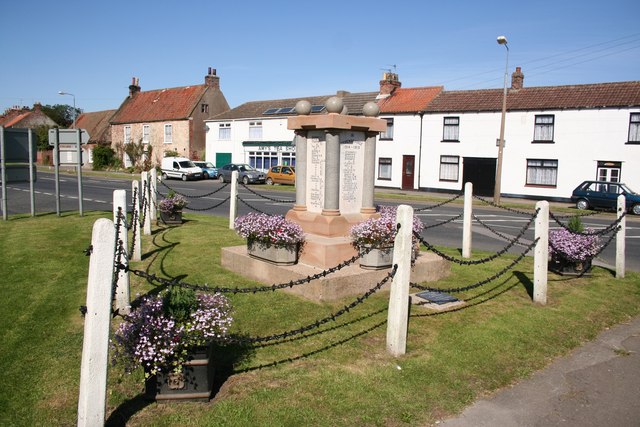
North Field is also dotted with charming villages and historic sites. The local communities are known for their warm hospitality and offer a range of amenities for visitors. Traditional pubs, cozy tea rooms, and quaint shops can be found throughout the area, providing a glimpse into the local culture and heritage.
Overall, North Field in Yorkshire is a true gem for nature enthusiasts and those looking for a peaceful escape. With its captivating Downs and Moorland, charming villages, and rich wildlife, it offers a unique experience that showcases the beauty of the Yorkshire countryside.
If you have any feedback on the listing, please let us know in the comments section below.
North Field Images
Images are sourced within 2km of 53.694/0.004936617 or Grid Reference TA3223. Thanks to Geograph Open Source API. All images are credited.


North Field is located at Grid Ref: TA3223 (Lat: 53.694, Lng: 0.004936617)
Division: East Riding
Unitary Authority: East Riding of Yorkshire
Police Authority: Humberside
What 3 Words
///reeling.signature.durations. Near Patrington, East Yorkshire
Nearby Locations
Related Wikis
Patrington Rural District
Patrington was a rural district in the East Riding of Yorkshire, England, from 1894 to 1935.The district formed the south-eastern part of the county, stretching...
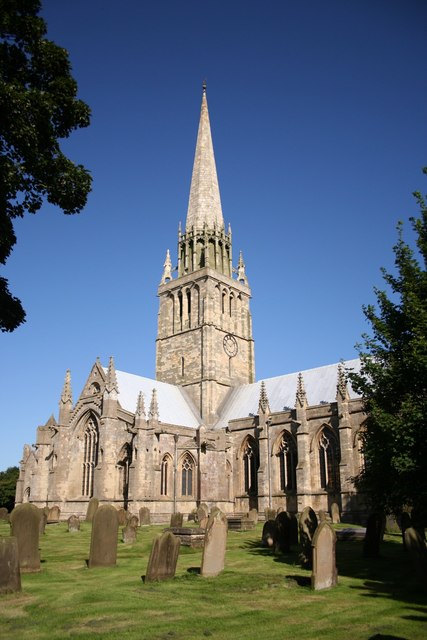
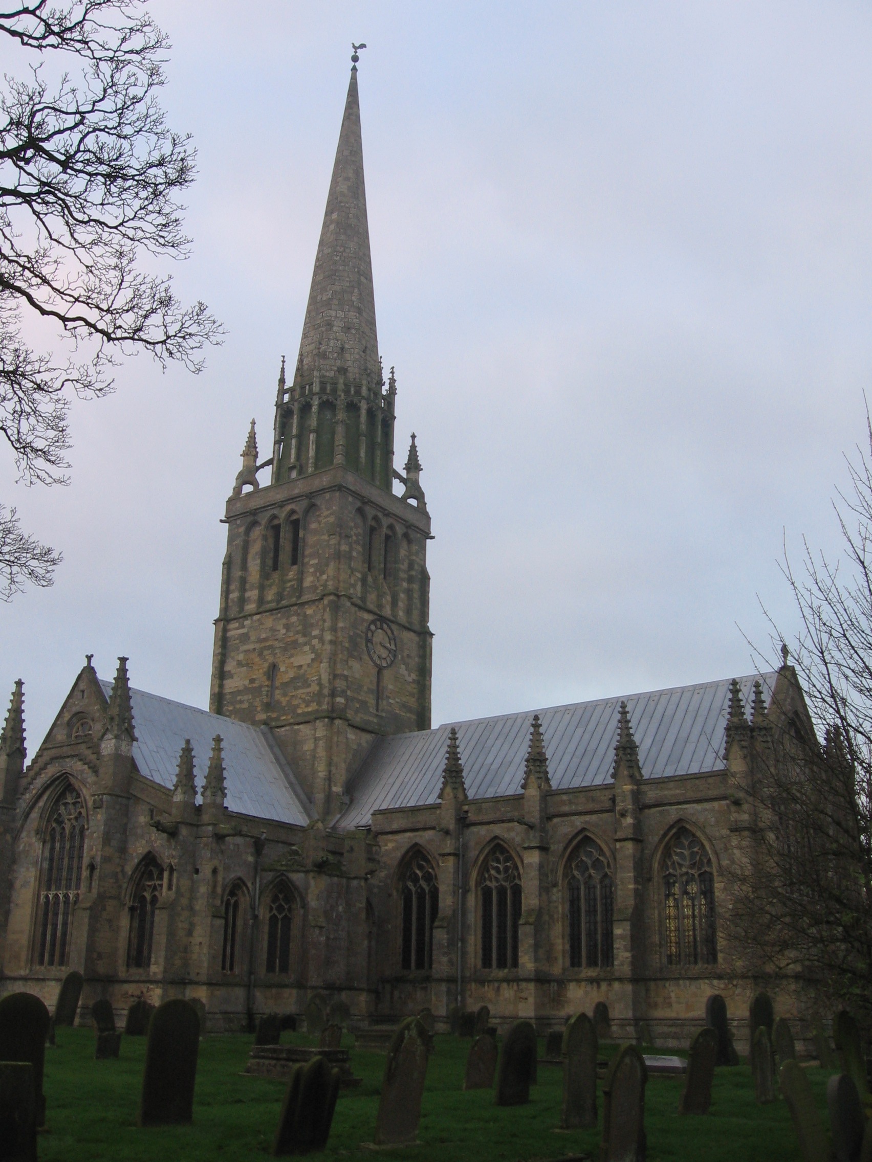
St Patrick's Church, Patrington
St Patrick's Church, Patrington is an Anglican parish church located in Patrington, East Riding of Yorkshire, England. The church is a Grade I listed building...
Patrington
Patrington is a large village and civil parish in the East Riding of Yorkshire, England, in an area known as Holderness, 9 miles (14 km) south-east of...
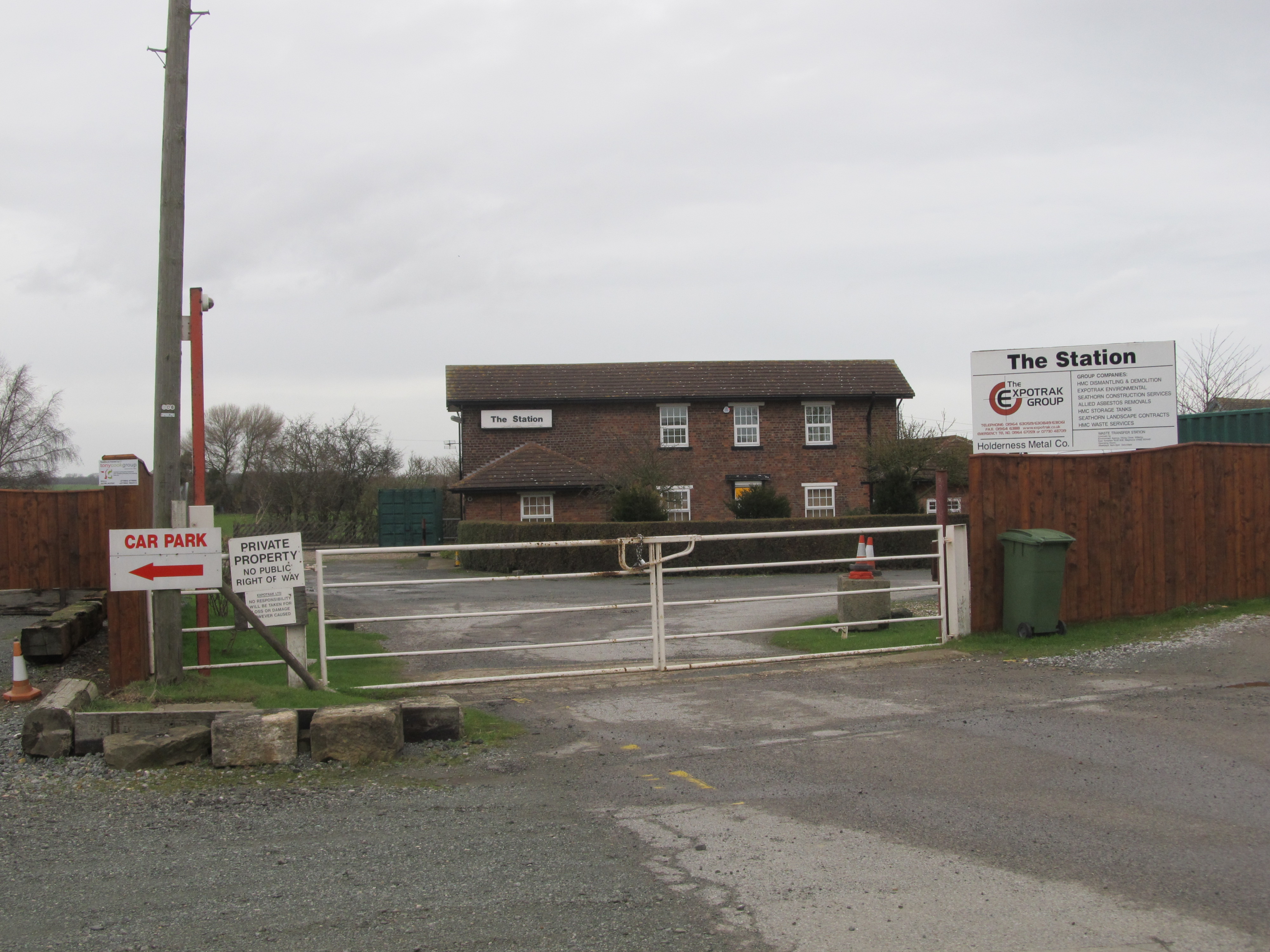
Patrington railway station
Patrington railway station is a disused railway station on the North Eastern Railway's Hull and Holderness Railway in Patrington, East Riding of Yorkshire...
Nearby Amenities
Located within 500m of 53.694,0.004936617Have you been to North Field?
Leave your review of North Field below (or comments, questions and feedback).