Westing
Settlement in Shetland
Scotland
Westing
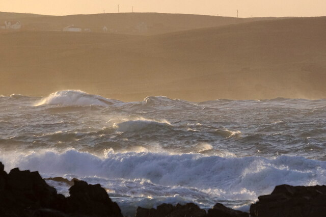
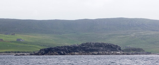
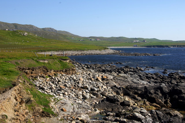
Westing is a small village located on the West Side of the Shetland Islands, an archipelago off the north coast of mainland Scotland. It is situated on the westernmost point of the island of Yell, which is the second largest of the Shetland Islands. With a population of around 60 residents, Westing is a picturesque and close-knit community that offers stunning views of the Atlantic Ocean and the surrounding rugged coastline.
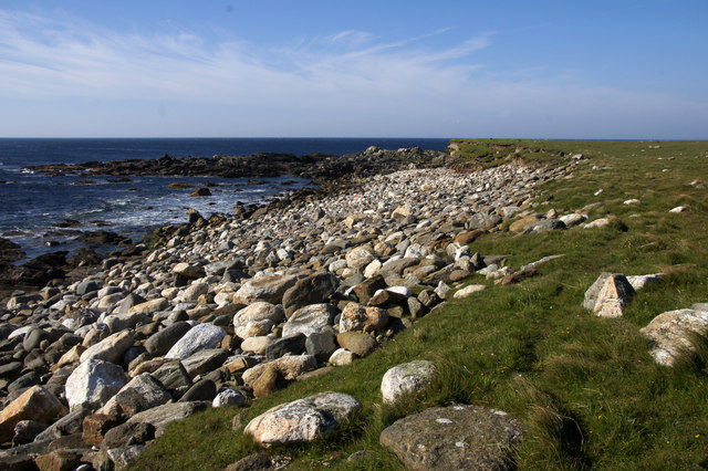
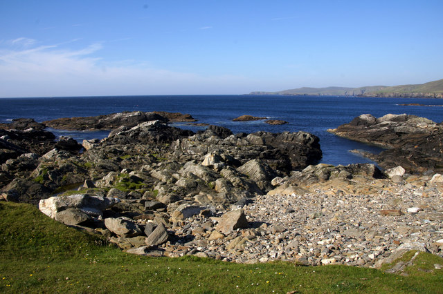
The village itself is characterized by its traditional stone-built houses and the iconic Westing Beach, known for its golden sands and clear blue waters. This pristine beach is a popular spot for locals and tourists alike, offering opportunities for swimming, picnicking, and scenic walks along the shore. The village is also home to a small harbour, providing a base for local fishermen and a starting point for boat trips to nearby islands.
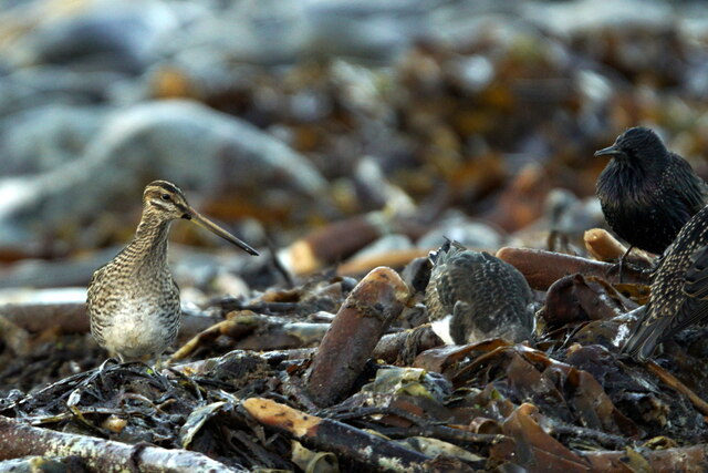
In terms of amenities, Westing has a community hall that serves as a gathering place for various events and activities, fostering a strong sense of community spirit. The village is also known for its vibrant wildlife, with seabirds, seals, and otters frequently spotted in the surrounding waters.
Despite its small size, Westing offers a tranquil and idyllic lifestyle, surrounded by the raw beauty of the Shetland Islands. Its remote location makes it a haven for those seeking peace and quiet, while still being within reach of the essential services provided by nearby towns. Whether it's exploring the dramatic landscapes or enjoying the simple pleasures of coastal living, Westing offers a unique and enchanting experience for residents and visitors alike.
If you have any feedback on the listing, please let us know in the comments section below.
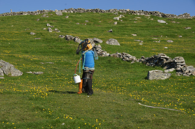
Westing Images
Images are sourced within 2km of 60.726633/-0.95551858 or Grid Reference HP5705. Thanks to Geograph Open Source API. All images are credited.


Westing is located at Grid Ref: HP5705 (Lat: 60.726633, Lng: -0.95551858)
Unitary Authority: Shetland Islands
Police Authority: Highlands and Islands
What 3 Words
///images.heckler.stupidly. Near Uyeasound, Shetland Islands
Nearby Locations
Related Wikis

Brough Holm
Brough Holm is a small island off Unst, in the North Isles of Shetland. It is off Westing, which as the name implies is on the west coast of Unst. The...

Society of Our Lady of the Isles
The Society of Our Lady of the Isles (SOLI) is a small Anglican religious order for women, founded in the late 20th century. It is located in Shetland...

St Olaf's Church, Unst
St Olaf's Church, Unst is a ruined medieval church located on the island of Unst, in Shetland, Scotland, UK. The church was built in the Celtic style,...

Cullivoe
Cullivoe (Old Norse: Kollavágr - Bay of Kolli), is a village on Yell in the Shetland Islands. It is in the north east of the island, near Bluemull Sound...

Belmont House, Shetland
Belmont House is a neo classical Georgian Country House Estate on the island of Unst, the most northerly of the Shetland Islands, [United Kingdom] and...
Unst
Unst (; Scots: Unst; Norn: Ønst) is one of the North Isles of the Shetland Islands, Scotland. It is the northernmost of the inhabited British Isles and...

1992 New Year's Day Storm
The New Year's Day Storm (Norwegian: Nyttårsorkanen), known in Scotland as the 'Hogmanay Hurricane', was an intense European windstorm that affected much...

Uyeasound
Uyeasound is a village on the Isle of Unst, the northernmost island of the Shetland Islands, Scotland. It takes its name from the neighbouring strait of...
Nearby Amenities
Located within 500m of 60.726633,-0.95551858Have you been to Westing?
Leave your review of Westing below (or comments, questions and feedback).