Gossa Water
Lake, Pool, Pond, Freshwater Marsh in Shetland
Scotland
Gossa Water

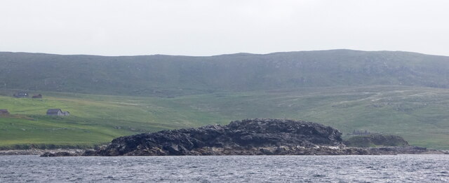
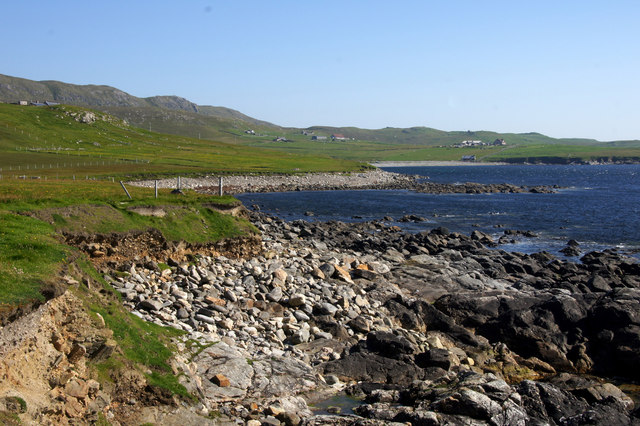
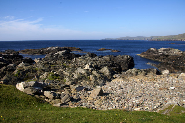
Gossa Water, located in Shetland, Scotland, is a freshwater loch nestled amidst the picturesque landscape of rolling hills and moors. This natural body of water, commonly referred to as a loch in Scotland, is a significant feature in the region, attracting visitors and providing habitat to a variety of wildlife.
With a surface area of approximately 15 hectares, Gossa Water is not particularly large in comparison to other lochs in Scotland. However, its modest size contributes to its charm. Surrounded by heather-clad hills, the loch offers a tranquil and serene environment, attracting nature enthusiasts and those seeking a peaceful retreat.
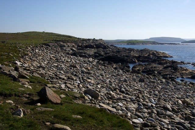
The water in Gossa Water is sourced from rainfall, runoff, and groundwater, resulting in a freshwater ecosystem that supports a diverse array of aquatic life. The loch is home to various fish species, including brown trout and Arctic char, which thrive in the clean and nutrient-rich waters.
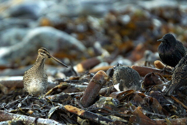
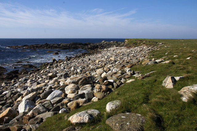
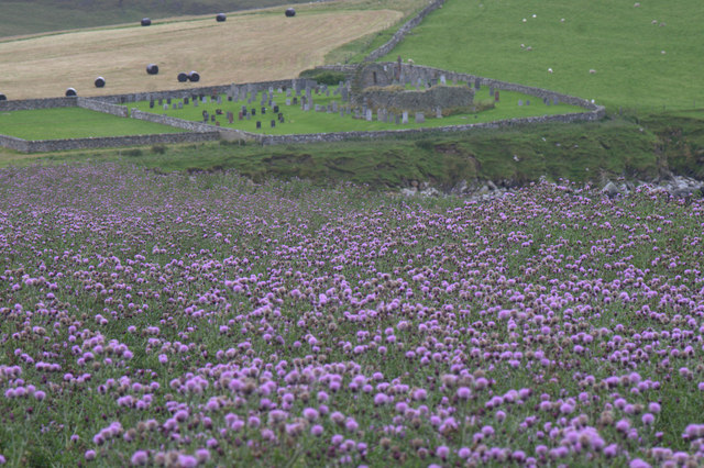
The shoreline of Gossa Water is fringed with vegetation, including reeds, rushes, and grasses, creating a lush freshwater marsh. This marshland provides a vital habitat for numerous bird species, such as teal, wigeon, and snipe, which rely on the wetland environment for nesting and feeding.
Gossa Water is a popular destination for outdoor activities such as fishing, birdwatching, and walking. Its tranquil beauty, combined with the surrounding scenic landscape, makes it an ideal spot for relaxation and exploration. Whether one is seeking a peaceful escape or a chance to observe the diverse wildlife, Gossa Water offers a truly immersive experience in the heart of Shetland.
If you have any feedback on the listing, please let us know in the comments section below.
Gossa Water Images
Images are sourced within 2km of 60.730324/-0.94071243 or Grid Reference HP5705. Thanks to Geograph Open Source API. All images are credited.


Gossa Water is located at Grid Ref: HP5705 (Lat: 60.730324, Lng: -0.94071243)
Unitary Authority: Shetland Islands
Police Authority: Highlands and Islands
What 3 Words
///replying.profiled.flute. Near Uyeasound, Shetland Islands
Nearby Locations
Related Wikis

Society of Our Lady of the Isles
The Society of Our Lady of the Isles (SOLI) is a small Anglican religious order for women, founded in the late 20th century. It is located in Shetland...

Brough Holm
Brough Holm is a small island off Unst, in the North Isles of Shetland. It is off Westing, which as the name implies is on the west coast of Unst. The...

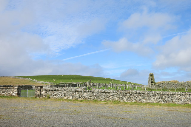
St Olaf's Church, Unst
St Olaf's Church, Unst is a ruined medieval church located on the island of Unst, in Shetland, Scotland, UK. The church was built in the Celtic style,...
Unst
Unst (; Scots: Unst; Norn: Ønst) is one of the North Isles of the Shetland Islands, Scotland. It is the northernmost of the inhabited British Isles and...

1992 New Year's Day Storm
The New Year's Day Storm (Norwegian: Nyttårsorkanen), known in Scotland as the 'Hogmanay Hurricane', was an intense European windstorm that affected much...

Cullivoe
Cullivoe (Old Norse: Kollavágr - Bay of Kolli), is a village on Yell in the Shetland Islands. It is in the north east of the island, near Bluemull Sound...
Mailand, Shetland
Mailand is a hamlet in the Shetland Islands. It is on the island of Unst, the northernmost of the inhabited British Isles, near its southern coast. �...

Uyeasound
Uyeasound is a village on the Isle of Unst, the northernmost island of the Shetland Islands, Scotland. It takes its name from the neighbouring strait of...
Nearby Amenities
Located within 500m of 60.730324,-0.94071243Have you been to Gossa Water?
Leave your review of Gossa Water below (or comments, questions and feedback).