Bragenham

Settlement in Buckinghamshire

England

Bragenham

Roundabout on Stoke Road near Linslade
Roundabout on Stoke Road near Linslade Credit: David Howard

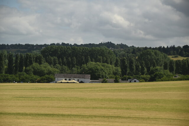
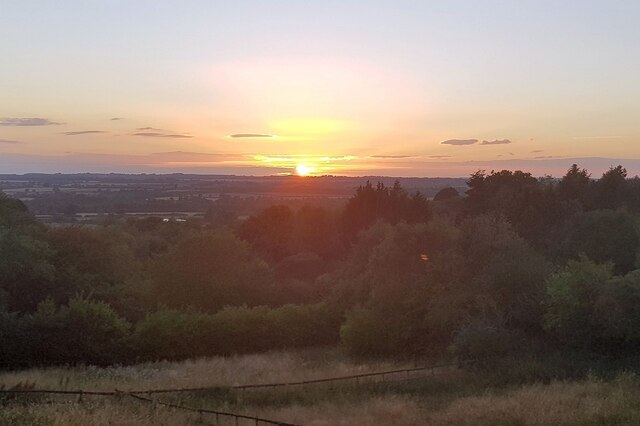
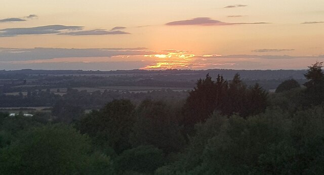
Bragenham is a picturesque village located in the county of Buckinghamshire, England. Situated in the Aylesbury Vale district, it lies approximately 10 miles northwest of the county town, Aylesbury. The village is nestled in a rural setting, surrounded by rolling hills and farmland, offering residents and visitors a tranquil and idyllic atmosphere.

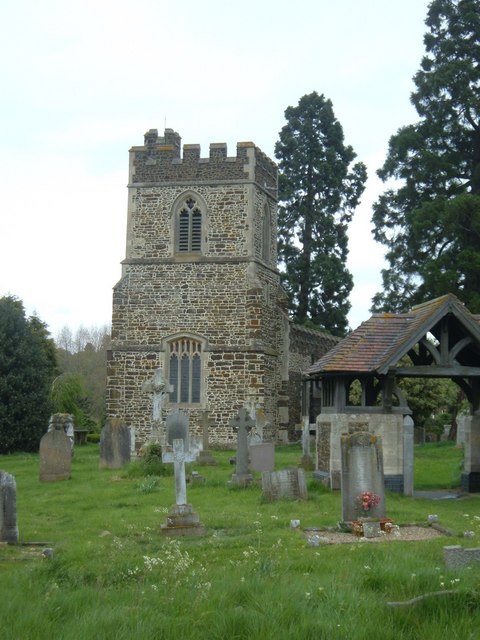
The origins of Bragenham can be traced back to medieval times, with evidence of human activity in the area dating back to the Roman era. The village is known for its well-preserved historic buildings, including a charming medieval church, St. Mary's, which stands as a testament to its rich heritage.

The community in Bragenham is tight-knit and friendly, with a population of around 500 residents. The village boasts a vibrant social scene, with various community events and clubs that cater to different interests and age groups. The local pub, The Bragenham Arms, serves as a popular meeting place for villagers and visitors alike.

Nature enthusiasts will find plenty to explore in Bragenham and its surroundings. The village is surrounded by beautiful countryside, offering opportunities for walking, cycling, and horse riding. The nearby Chequers Estate, the country retreat of the Prime Minister, provides stunning views and extensive woodland trails.

With its picturesque setting, rich history, and welcoming community, Bragenham is a charming destination that offers a peaceful retreat from the hustle and bustle of nearby towns and cities.

If you have any feedback on the listing, please let us know in the comments section below.
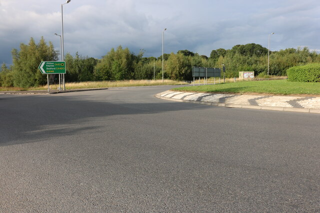
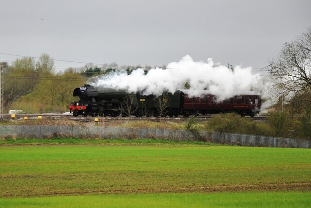
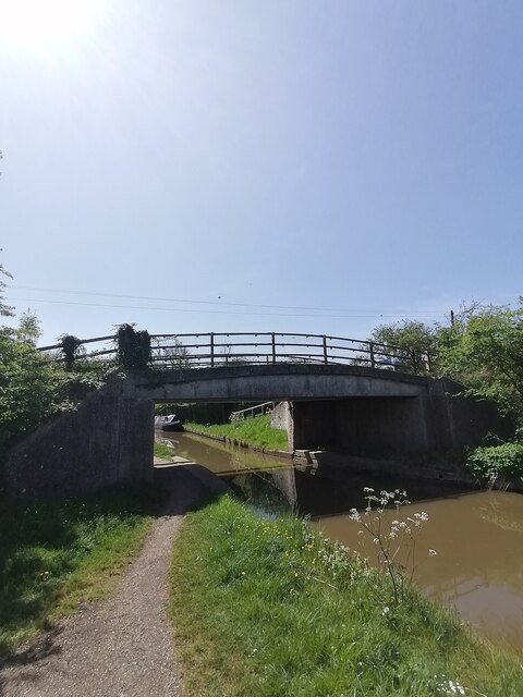
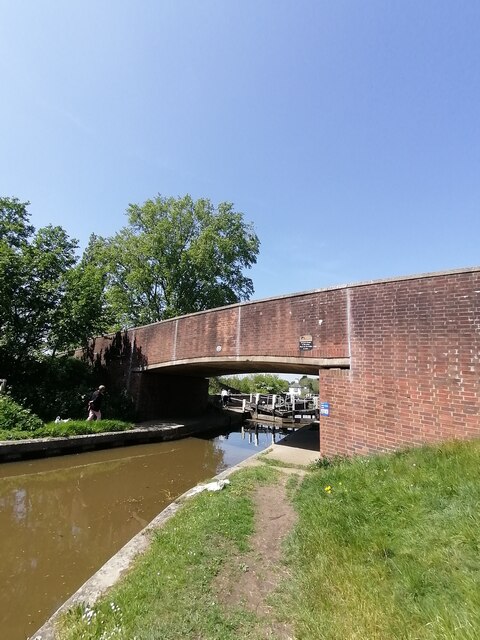
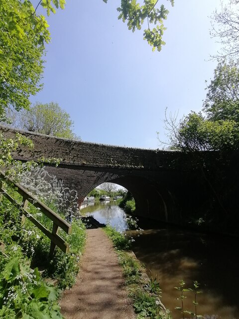
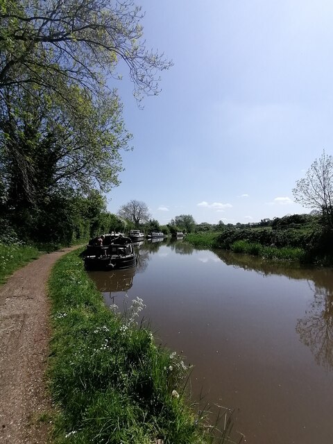
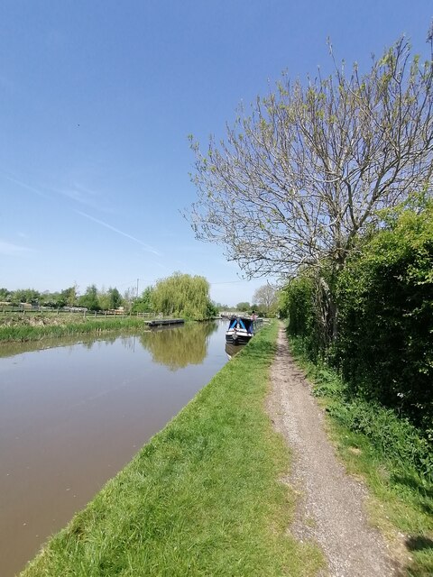
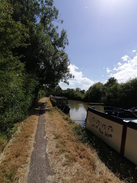
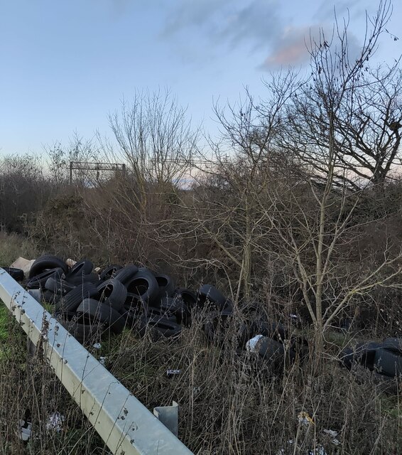
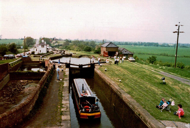
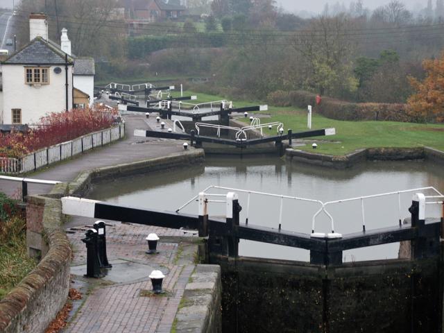
Bragenham Images

Images are sourced within 2km of 51.948088/-0.688005 or Grid Reference SP9028. Thanks to Geograph Open Source API. All images are credited.

Roundabout on Stoke Road near Linslade
Layby on the A4146, Stoke Hammond My last visit <a title="https://www.geograph.org.uk/photo/6520985" href="https://www.geograph.org.uk/photo/6520985">Link</a>
Layby on the A4146, Stoke Hammond
My last visit Link
Layby on the A4146, Stoke Hammond
Flying Scotsman heads south Gresley 'Pacific' A3 No. 60103 'Flying Scotsman' heads south with its support coach to Southall Depot in West London for steam railtour duty.
Flying Scotsman heads south
Gresley 'Pacific' A3 No. 60103 'Flying Scotsman' heads south with its support coach to Southall Depot in West London for steam railtour duty.
Paper Mill bridge 106 (Grand Union Canal) Bridge 106 carries a track over the canal.
Paper Mill bridge 106 (Grand Union Canal)
Bridge 106 carries a track over the canal.
Soulbury Bridge 107 (Grand Union Canal) Bridge 107 carries the road over the canal towards the Brickhills
Soulbury Bridge 107 (Grand Union Canal)
Bridge 107 carries the road over the canal towards the Brickhills
Stapleford Bridge 108 (Grand Union Canal) Bridge 108 carries the road over the canal towards Soulbury and Linslade
Stapleford Bridge 108 (Grand Union Canal)
Bridge 108 carries the road over the canal towards Soulbury and Linslade
Grand Union Canal (Buckinghamshire)  Grand Union Canal near Soulbury and Bridge 108
Grand Union Canal (Buckinghamshire)
Grand Union Canal near Soulbury and Bridge 108
Grand Union Canal (Stoke Hammond)  Grand Union Canal facing towards Stoke Hammond lock pump house and bridge 104
Grand Union Canal (Stoke Hammond)
Grand Union Canal facing towards Stoke Hammond lock pump house and bridge 104
Grand Union Canal (Stoke Hammond)  Several narrowboats along the Grand Union Canal near Stoke Hammond and bridge 106 can be seen in the distance
Grand Union Canal (Stoke Hammond)
Several narrowboats along the Grand Union Canal near Stoke Hammond and bridge 106 can be seen in the distance
Fly tipped tyres on A461 near Stoke Hammond
The Three Locks The upper of the Three Locks near Soulbury.  Note the sideponds on the left of the main lock.  These are intended to be used for saving water when several boats are using the flight of locks.
The Three Locks
The upper of the Three Locks near Soulbury. Note the sideponds on the left of the main lock. These are intended to be used for saving water when several boats are using the flight of locks.
Arable landscape
Arable landscape
Layby on the A4146, Stoke Hammond I've been here before <a title="https://www.geograph.org.uk/photo/6944307" href="https://www.geograph.org.uk/photo/6944307">Link</a>
Layby on the A4146, Stoke Hammond
I've been here before Link
Layby on the A4146, Stoke Hammond
Sunset from the Red Lion, Great Brickhill Looking over the countryside to the south of Milton Keynes as the sun sets. The image was taken from the garden of the Red Lion in Great Brickhill which is on considerably elevated ground (c.140m, 460' Cf the fields at about 75m, 246')
See <a href="https://www.geograph.org.uk/photo/7263677">SP9030 : View from the Red Lion, Great Brickhill just after sunset</a> for the view a few moments later.
Sunset from the Red Lion, Great Brickhill
Looking over the countryside to the south of Milton Keynes as the sun sets. The image was taken from the garden of the Red Lion in Great Brickhill which is on considerably elevated ground (c.140m, 460' Cf the fields at about 75m, 246') See SP9030 : View from the Red Lion, Great Brickhill just after sunset for the view a few moments later.
View from the Red Lion, Great Brickhill just after sunset Taken a few minutes after <a href="https://www.geograph.org.uk/photo/7263675">SP9030 : Sunset from the Red Lion, Great Brickhill</a> once the sun had set. See that photo for more information.
View from the Red Lion, Great Brickhill just after sunset
Taken a few minutes after SP9030 : Sunset from the Red Lion, Great Brickhill once the sun had set. See that photo for more information.
Soulbury Three Locks Soulbury Three Locks on the Grand Union Canal north of Leighton Buzzard.
Soulbury Three Locks
Soulbury Three Locks on the Grand Union Canal north of Leighton Buzzard.
Show me another place!

Bragenham is located at Grid Ref: SP9028 (Lat: 51.948088, Lng: -0.688005)

Unitary Authority: Buckinghamshire

Police Authority: Thames Valley

What 3 Words

///tadpole.flat.coasting. Near Heath and Reach, Bedfordshire

Nearby Locations

Bragenham

Related Wikis

Nares Gladley Marsh

Nares Gladley Marsh is a 5.1-hectare (13-acre) Site of Special Scientific Interest north-west of Leighton Buzzard in Bedfordshire. It was notified in 1990...

Stockgrove Country Park

Stockgrove Country Park is located in England on the Bedfordshire/Buckinghamshire border in the parish of Heath and Reach. Stockgrove Park's 80 acres is...

Church of St Mary, Linslade

Church of St Mary is a Grade I listed church in Linslade, Bedfordshire, England. It became a listed building on 20 February 1954. == History == ��3...

Great Brickhill

Great Brickhill is a village and civil parish in the unitary authority area of Buckinghamshire, England. It is on the border with the City of Milton Keynes...

Nearby Amenities

Located within 500m of 51.948088,-0.688005
Bragenham
Place: hamlet
Lat/Long: 51.9502594/-0.6879872
Heron's Rural Retreat
Addr City: Leighton Buzzard
Addr Housename: Bragenham Farm
Addr Postcode: LU7 0EE
Addr Street: Bragenham Lane
Tourism: camp_site
Lat/Long: 51.9482118/-0.6920716
The data included in this document is from www.openstreetmap.org. The data is made available under ODbL.

Have you been to Bragenham?

Leave your review of Bragenham below (or comments, questions and feedback).