Braichmelyn

Settlement in Caernarfonshire

Wales

Braichmelyn

Hydrant sign on Ffordd Gerlan, Bethesda
Hydrant sign on Ffordd Gerlan, Bethesda Credit: Meirion

Braichmelyn is a small village located in the county of Caernarfonshire, in northwestern Wales. Situated at the foot of the Snowdonia National Park, it lies approximately 3 miles southeast of the town of Caernarfon. The village is characterized by its picturesque setting, surrounded by rolling hills and offering stunning views of the nearby mountains.

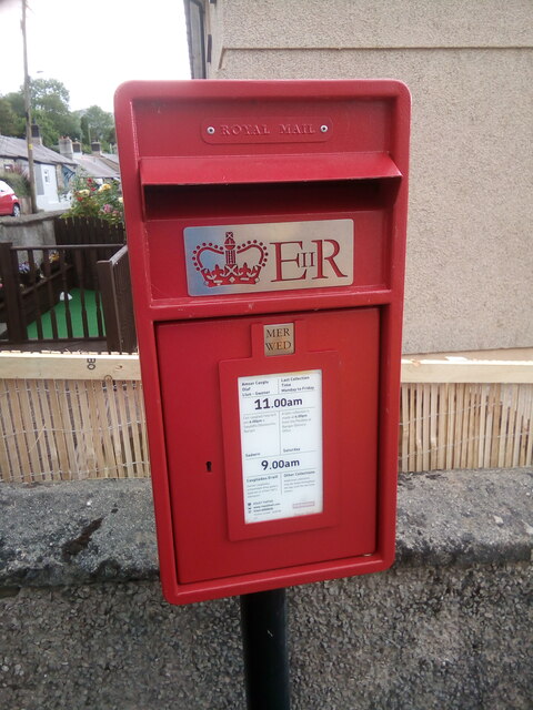
With a population of around 300 residents, Braichmelyn exudes a sense of tranquility and close-knit community. The village is predominantly residential, with a few local amenities such as a post office, a small shop, and a village hall that serves as a community gathering space. Many of the houses in Braichmelyn are traditional Welsh cottages, adding to its charming and idyllic atmosphere.

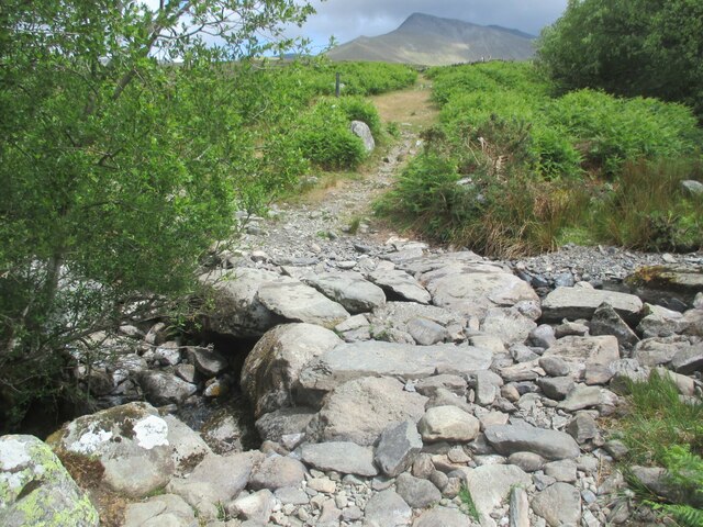
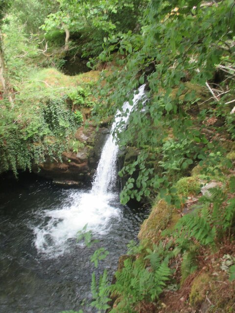
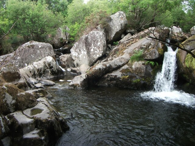
The natural beauty of the area attracts outdoor enthusiasts, with numerous walking trails and hiking routes available in the vicinity. The nearby Snowdon, the highest peak in Wales, is a popular destination for climbers and offers breathtaking panoramic views from its summit. The area surrounding Braichmelyn is also known for its rich wildlife, including various bird species and small mammals.

Despite its peaceful ambiance, Braichmelyn benefits from its close proximity to the town of Caernarfon, where residents can access a wider range of services, including schools, healthcare facilities, and shopping centers. The village is well-connected by road, making it easily accessible to visitors and commuters alike.

Overall, Braichmelyn offers a serene and picturesque living environment, surrounded by natural beauty and offering a strong sense of community.

If you have any feedback on the listing, please let us know in the comments section below.
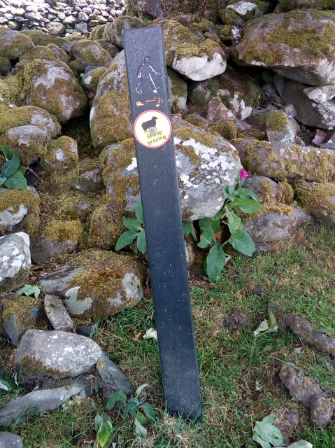
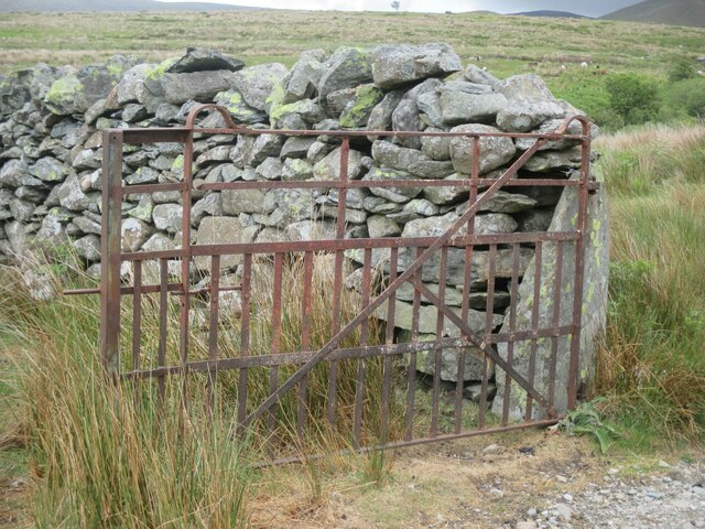
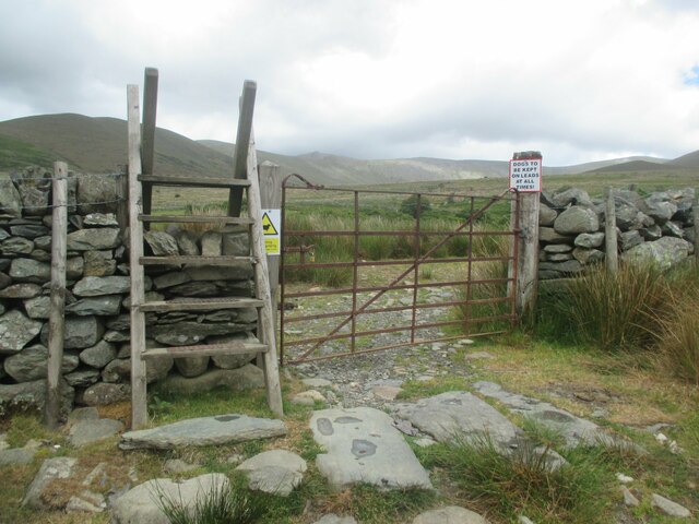
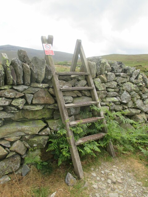
Braichmelyn Images

Images are sourced within 2km of 53.17238/-4.053698 or Grid Reference SH6265. Thanks to Geograph Open Source API. All images are credited.

Hydrant sign on Ffordd Gerlan, Bethesda
Electrical cabinet on Ffordd Gerlan, Bethesda
Electrical cabinet on Carneddi Road, Bethesda
Stile and dog gate at the start of footpath, Gwernydd
Waymark post on footpath, Gwernydd Sheep grazing
Waymark post on footpath, Gwernydd
Sheep grazing
Old gate between fields, Gwernydd
Stile and gate, Gwernydd
Stile over wall, Gwernydd
Stone slab footbridge over stream, Gwernydd
Waterfall on Afon Caseg, Gwernydd
Hydrant marker on Gerlan Road, Bethesda
Elizabeth II post box on Braichmelyn, Bethesda LL57 21
Elizabeth II post box on Braichmelyn, Bethesda
LL57 21
Hydrant sign on Cefnfaes Road, Bethesda
Hydrant marker on Braichmelyn, Bethesda
Sluice valve marker at the junction of Station Road and Bangor Road, Bethesda
Damaged sluice valve marker on Bangor Road, Bethesda
Sluice valve marker on Bangor Road, Bethesda
Waterfall on Afon Caseg, Bethesda
Show me another place!

Braichmelyn is located at Grid Ref: SH6265 (Lat: 53.17238, Lng: -4.053698)

Unitary Authority: Gwynedd

Police Authority: North Wales

What 3 Words

///onto.huddle.adjusting. Near Bethesda, Gwynedd

Nearby Locations

Braichmelyn

Related Wikis

Afon Llafar

For the river which flows into Bala Lake see Afon Llafar (Dee)Afon Llafar is a river in the Carneddau, Snowdonia. It rises where many streams flow down...

Bethesda Athletic F.C.

Bethesda Athletic F.C. (; Welsh: [bɛθ'ɛsda]) is a football club based in the Welsh town of Bethesda, in northwest Wales. They play in the Ardal NW which...

Cwm Caseg

Cwm Caseg is a broad glacial valley in Snowdonia leading west from the Carneddau towards Bethesda. It is bordered by Carnedd Llewelyn to the southeast...

Bethesda, Gwynedd

Bethesda (; Welsh: [bɛθ'ɛsda]) is a town and community in Gwynedd, Wales. It is on the banks of Afon Ogwen and on the edge of Snowdonia. It is 5 miles...

Nearby Amenities

Located within 500m of 53.17238,-4.053698
Turning Circle
Lat/Long: 53.1757553/-4.055935
Barrier: kissing_gate
Foot: yes
Lat/Long: 53.1733491/-4.0605608
Bus Stop
Bench: yes
Bus: yes
Naptan AtcoCode: 5400GYX17350
Naptan NaptanCode: gwnawdm
Public Transport: platform
Shelter: yes
Lat/Long: 53.1733257/-4.0563476
Bus Stop
Bus: yes
Public Transport: platform
Shelter: no
Lat/Long: 53.1732014/-4.0560624
Post Box
Operator: Royal Mail
Operator Wikidata: Q638098
Post Box Type: lamp
Ref: LL57 21
Royal Cypher: EIIR
Lat/Long: 53.1737622/-4.0536058
Barrier: kissing_gate
Foot: yes
Lat/Long: 53.1738054/-4.0466396
Waterway: waterfall
Lat/Long: 53.1750542/-4.0479319
Source: Bing
Traffic Calming: hump
Lat/Long: 53.1763666/-4.0541734
Bench
Source: Mapillary
Lat/Long: 53.1731499/-4.0559428
Addr Housenumber: 2
Source: Mapillary
Lat/Long: 53.173436/-4.0560984
Bench
Source: Mapillary
Lat/Long: 53.1731659/-4.0559911
Power: pole
Lat/Long: 53.1740678/-4.0583684
Power: pole
Lat/Long: 53.1748918/-4.0570162
Power: pole
Lat/Long: 53.1749718/-4.0567565
Power: pole
Lat/Long: 53.175517/-4.0556746
Power: pole
Lat/Long: 53.1754731/-4.0546273
Power: pole
Lat/Long: 53.175729/-4.0539052
Power: pole
Lat/Long: 53.1761565/-4.0537901
Power: pole
Lat/Long: 53.1733932/-4.0594786
Power: pole
Lat/Long: 53.1729608/-4.0595537
Braichmelyn
Place: village
Lat/Long: 53.1728498/-4.0547555
Shelter
Shelter Type: public_transport
Lat/Long: 53.1736489/-4.056475
Direction: 255
Generator Method: photovoltaic
Generator Output Electricity: yes
Generator Solar Modules: 12
Generator Source: solar
Generator Type: solar_photovoltaic_panel
Location: roof
Power: generator
Lat/Long: 53.1734946/-4.0561947
Power: pole
Lat/Long: 53.1726701/-4.0596649
Power: pole
Lat/Long: 53.1707185/-4.0601714
Power: pole
Lat/Long: 53.1711617/-4.0600358
Power: pole
Lat/Long: 53.1720998/-4.0598765
Power: pole
Lat/Long: 53.1716335/-4.0600305
Power: pole
Lat/Long: 53.175477/-4.0545446
Power: pole
Lat/Long: 53.1745033/-4.052866
Power: pole
Lat/Long: 53.1746704/-4.0531331
Power: pole
Lat/Long: 53.1750685/-4.053801
Information: board
Tourism: information
Lat/Long: 53.170479/-4.0593067
The data included in this document is from www.openstreetmap.org. The data is made available under ODbL.

Have you been to Braichmelyn?

Leave your review of Braichmelyn below (or comments, questions and feedback).