Brafferton

Settlement in Yorkshire Hambleton

England

Brafferton

Road beside allotments On the right are allotments on the edge of the village of Brafferton.
Road beside allotments Credit: DS Pugh

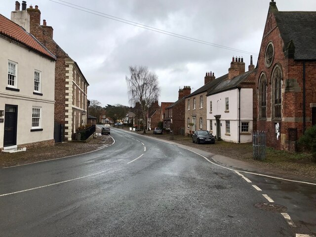
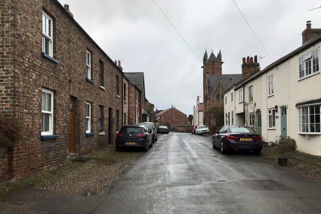
Brafferton is a small village located in the Harrogate district of North Yorkshire, England. It is situated approximately 10 miles northwest of the city of York. The village is surrounded by picturesque countryside and offers a peaceful and idyllic setting.

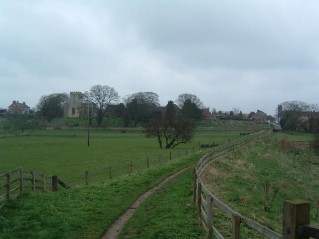
With a population of around 800 residents, Brafferton has a close-knit community that takes pride in its heritage and natural beauty. The origins of the village date back to the Roman era, as evidenced by the remnants of a Roman road found nearby. The village itself has a charming mix of traditional stone cottages and modern houses, blending the old with the new.

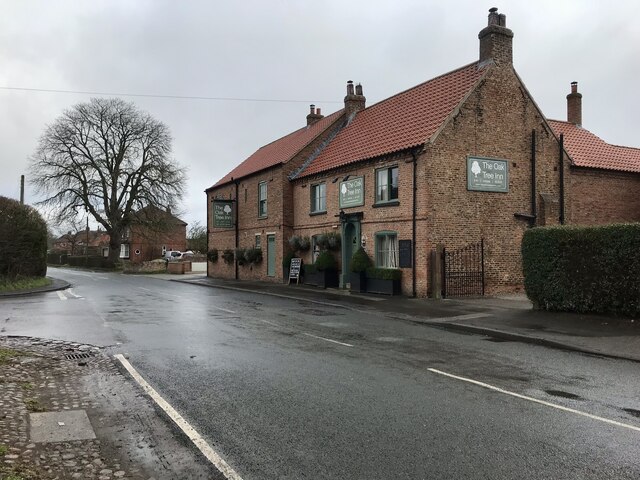
Brafferton boasts several amenities to cater to the needs of its residents. It has a primary school, providing education for children aged 4-11. The village also has a village hall, which serves as a hub for various community events and gatherings. Additionally, there is a local pub that offers a warm and welcoming atmosphere for visitors and residents alike.

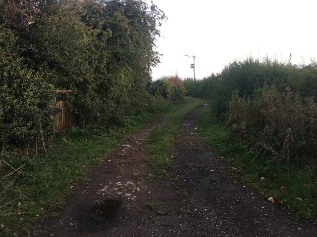
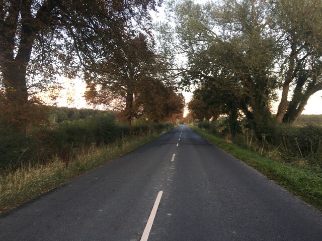
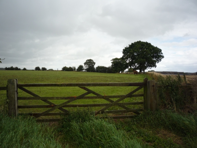
The surrounding countryside provides ample opportunities for outdoor activities such as walking, cycling, and horse riding. The nearby River Swale offers opportunities for fishing and canoeing. Brafferton is also conveniently located near several popular attractions, including Newby Hall and Gardens, Ripon Cathedral, and Fountains Abbey.

In summary, Brafferton is a charming village in Yorkshire, offering a peaceful and scenic setting. With its rich history, close community, and easy access to amenities and attractions, it is an ideal place for those seeking a tranquil countryside lifestyle.

If you have any feedback on the listing, please let us know in the comments section below.
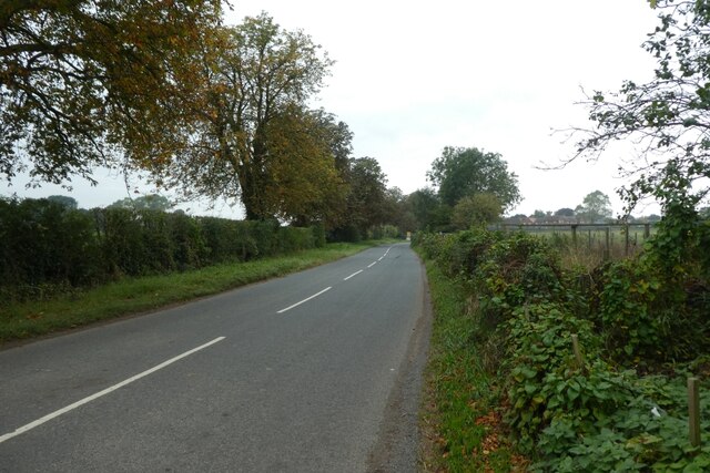
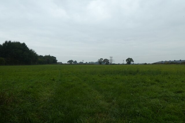
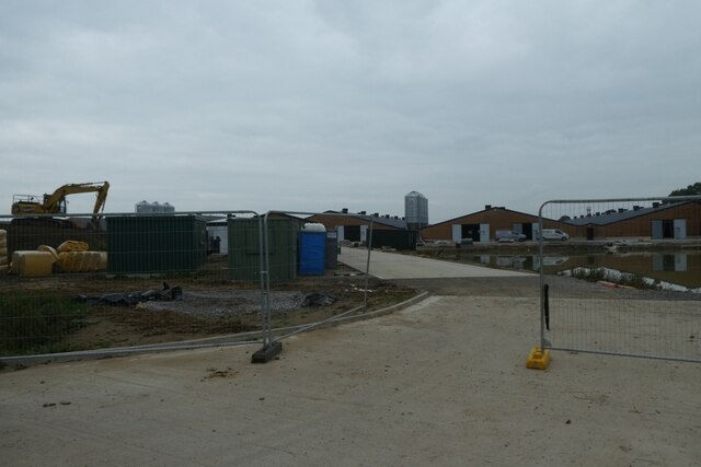
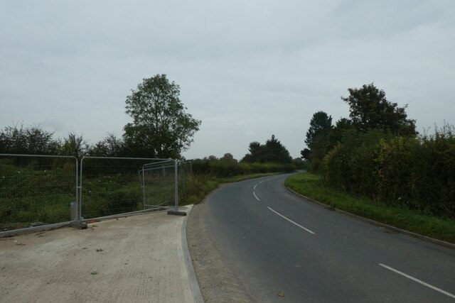
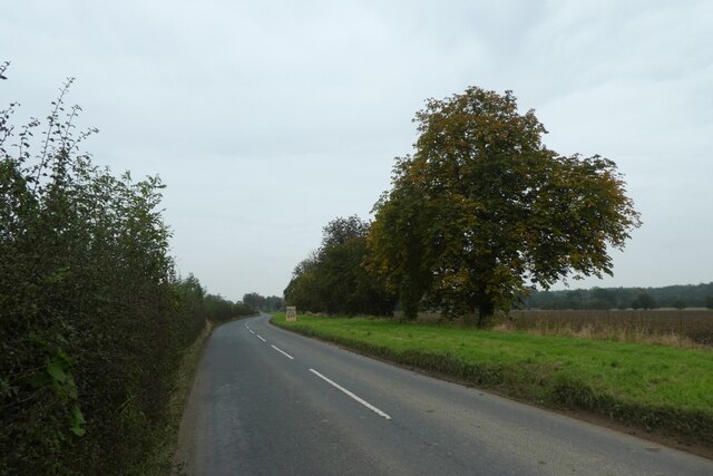
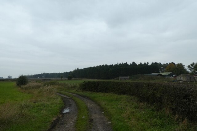
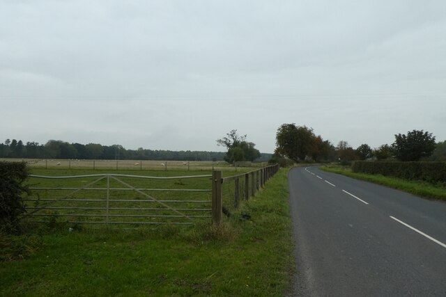
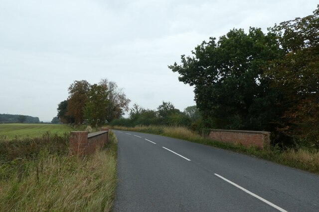
Brafferton Images

Images are sourced within 2km of 54.125824/-1.33033 or Grid Reference SE4370. Thanks to Geograph Open Source API. All images are credited.

Road beside allotments On the right are allotments on the edge of the village of Brafferton.
Road beside allotments
On the right are allotments on the edge of the village of Brafferton.
Farmland east of Brafferton Looking across a field to the north of the road.
Farmland east of Brafferton
Looking across a field to the north of the road.
Construction beside Ewe Hole Lane Looking into a construction compound to the east of Brafferton.
Construction beside Ewe Hole Lane
Looking into a construction compound to the east of Brafferton.
Construction beside the road Looking along the road leading east from Brafferton with a construction site on the left.
Construction beside the road
Looking along the road leading east from Brafferton with a construction site on the left.
Road east of Brafferton Looking along the road leading towards Raskelf.
Road east of Brafferton
Looking along the road leading towards Raskelf.
Track near the Birches Looking along a track to the north of the road.
Track near the Birches
Looking along a track to the north of the road.
Sheep pasture east of Brafferton Looking along the road towards Raskelf.
Sheep pasture east of Brafferton
Looking along the road towards Raskelf.
Crook Bridge Carrying the road over Derrings Beck.
Crook Bridge
Carrying the road over Derrings Beck.
York Pullman bus at Helperby – 1970 York Pullman was an independent small bus operator based in York which ran a number of rural routes around York. It was known for its high standard of maintenance with buses looking 'as new' even when 15 years old or more.

No.87 is an AEC Swift with bodywork by Roe of Leeds; the choice of a rear-engined chassis was very unusual for a small operator, the majority of which would opt for simpler chassis types.

This is one of a series of views featuring buses in the 60s, 70s, and 80s. <a title="https://www.geograph.org.uk/search.php?i=137652761" href="https://www.geograph.org.uk/search.php?i=137652761">Link</a>


To the right of the bus is High Farm House, a fine Georgian farmhouse dated 1769 and Listed Grade II.
York Pullman bus at Helperby – 1970
York Pullman was an independent small bus operator based in York which ran a number of rural routes around York. It was known for its high standard of maintenance with buses looking 'as new' even when 15 years old or more. No.87 is an AEC Swift with bodywork by Roe of Leeds; the choice of a rear-engined chassis was very unusual for a small operator, the majority of which would opt for simpler chassis types. This is one of a series of views featuring buses in the 60s, 70s, and 80s. Link To the right of the bus is High Farm House, a fine Georgian farmhouse dated 1769 and Listed Grade II.
York Pullman bus at Helperby – 1971 York Pullman was an independent small bus operator based in York which ran a number of rural routes around York. It was known for its high standard of maintenance with buses looking 'as new' even when 15 years old or more.

No.87 is an AEC Swift with bodywork by Roe of Leeds; the choice of a rear-engined chassis was very unusual for a small operator, the majority of which would opt for simpler chassis types.

This is one of a series of views featuring buses in the 60s, 70s, and 80s. <a title="https://www.geograph.org.uk/search.php?i=137652761" href="https://www.geograph.org.uk/search.php?i=137652761">Link</a> 

Behind the bus is Helperby Methodist Church, a distinctive late-Victorian building, now converted to apartments.
York Pullman bus at Helperby – 1971
York Pullman was an independent small bus operator based in York which ran a number of rural routes around York. It was known for its high standard of maintenance with buses looking 'as new' even when 15 years old or more. No.87 is an AEC Swift with bodywork by Roe of Leeds; the choice of a rear-engined chassis was very unusual for a small operator, the majority of which would opt for simpler chassis types. This is one of a series of views featuring buses in the 60s, 70s, and 80s. Link Behind the bus is Helperby Methodist Church, a distinctive late-Victorian building, now converted to apartments.
Brecks Lane
Brecks Lane
West Moor Road
West Moor Road
Brafferton, Main Street Brafferton is a village on the River Swale in North Yorkshire, approximately 10 miles south of Thirsk.
Brafferton, Main Street
Brafferton is a village on the River Swale in North Yorkshire, approximately 10 miles south of Thirsk.
Brafferton, Bridge Street Brafferton is a village on the River Swale in North Yorkshire, approximately 10 miles south of Thirsk.
Brafferton, Bridge Street
Brafferton is a village on the River Swale in North Yorkshire, approximately 10 miles south of Thirsk.
Brafferton, Oak Tree Inn
The Swale in flood at Thornton Bridge This appears to be a favourite spot for me to photograph the Swale in flood at Thornton Bridge. Compared with other photos, particularly one from 1st January 2013, the river level is even higher on this occasion than it was almost exactly 10 years previously.
The Swale in flood at Thornton Bridge
This appears to be a favourite spot for me to photograph the Swale in flood at Thornton Bridge. Compared with other photos, particularly one from 1st January 2013, the river level is even higher on this occasion than it was almost exactly 10 years previously.
Watery landscape near Thornton Bridge The Swale, which should be at the extreme right of this photo, has spread across nearby fields after another bout of torrential rain here and in the catchment area of Swaledale.
Watery landscape near Thornton Bridge
The Swale, which should be at the extreme right of this photo, has spread across nearby fields after another bout of torrential rain here and in the catchment area of Swaledale.
Road closed due to flooding This is the road from Brafferton towards Cundall and Asenby near Thornton Bridge, where floodwater has backed up across the road. maybe the Victorians had more sense, as the original route followed slightly higher ground in a semi-circle to the left. That option has now been closed and is now on private land.
Road closed due to flooding
This is the road from Brafferton towards Cundall and Asenby near Thornton Bridge, where floodwater has backed up across the road. maybe the Victorians had more sense, as the original route followed slightly higher ground in a semi-circle to the left. That option has now been closed and is now on private land.
Show me another place!

Brafferton is located at Grid Ref: SE4370 (Lat: 54.125824, Lng: -1.33033)

Division: North Riding

Administrative County: North Yorkshire

District: Hambleton

Police Authority: North Yorkshire

What 3 Words

///rotation.poses.elect. Near Boroughbridge, North Yorkshire

Nearby Locations

Brafferton

Related Wikis

Brafferton, North Yorkshire

Brafferton is a village and former civil parish, now in the parish of Brafferton and Helperby, in the Hambleton District of North Yorkshire, England. According...

Brafferton and Helperby

Brafferton and Helperby is a civil parish in the Hambleton District of North Yorkshire, England. Up until 2019, both Brafferton and Helperby were in their...
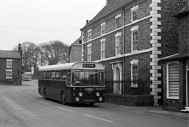
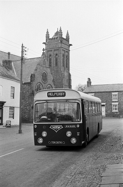
Helperby

Helperby is a village and former civil parish, now in the parish of Brafferton and Helperby, in the Hambleton District of North Yorkshire, England, about...

Brafferton railway station

Brafferton railway station served Brafferton, North Yorkshire, England, from 1847 to 1964 on the Pilmoor, Boroughbridge and Knaresborough Railway. ��2...

Nearby Amenities

Located within 500m of 54.125824,-1.33033
Brafferton
Created By: Potlatch 0.10f
Place: village
Lat/Long: 54.1262701/-1.3321774
Helperby
Created By: Potlatch 0.10f
Place: village
Lat/Long: 54.1237165/-1.328974
Noexit: yes
Lat/Long: 54.1262039/-1.3306025
Pub
The Golden Lion
Addr City: York
Addr Postcode: YO61 2NT
Addr Street: Main Street
Addr Suburb: Helperby
Lat/Long: 54.1232268/-1.3295584
Shop / Tearoom
Shop: convenience
Lat/Long: 54.1236858/-1.3297813
Turning Circle
Lat/Long: 54.1256356/-1.3313745
Shelter
Historic: yes
Lat/Long: 54.1231664/-1.3299475
Historic: memorial
Lat/Long: 54.1239963/-1.3309105
Disused Amenity: post_box
Post Box Type: wall
Ref: YO61 209
Royal Cypher: GVIR
Lat/Long: 54.1237197/-1.3303016
Post Box
Post Box Type: pillar
Ref: YO61 209
Royal Cypher: EIIR
Royal Cypher Wikidata: Q33102113
Lat/Long: 54.1236977/-1.3303633
Note: site of red K6 phone box now removed
Removed Amenity: telephone
Lat/Long: 54.1237076/-1.3303312
Pub
Oak Tree Inn
Addr City: York
Addr Postcode: YO61 2PH
Addr Street: Raskelf Road
Addr Suburb: Helperby
Floor Material: rough_wood
Food: yes
Parking: yes
Real Ale: 3 or 4 beers
Source: survey
Wheelchair: yes
Wheelchair Description: Step free access, at least to side door
Lat/Long: 54.1252269/-1.3295658
Entrance: yes
Lat/Long: 54.1232523/-1.3302193
Defibrillator
Defibrillator Location: outside Helperby Surgery, (to left of entrance) Main Street, Helperby, YO61 2NS
Emergency: defibrillator
Indoor: no
Lat/Long: 54.1232106/-1.3301764
The data included in this document is from www.openstreetmap.org. The data is made available under ODbL.

Have you been to Brafferton?

Leave your review of Brafferton below (or comments, questions and feedback).